Camino de Santiago del Norte
INTROThe Camino de Santiago is a network of long distance pilgrimages throughout Europe, primarily Spain, leading to Santiago de Compostela, Spain.

This is about the North route (del Norte) which I began in San Sebastián, Spain. This route is roughly 500 miles (800 kilometers). This is different from an other backpacking I’ve done; less wilderness, more showers/town food. This comes after my completion of the Camino de Santiago Frances.
Day 22 - 24 took me from Piñera, Spain - Vilalba, Spain.
OVERVIEWDAYS3
MILES/kilometers63.1/101.6
TOTAL ELEVATION GAINED7693 ft
TOTAL ELEVATION LOSS6479 ft


-
Turning back into the mountains; I just love them!
More lovely people from all over the world.
Closing in on the final stretch.
-
Inconsiderate people in albergues that impact experience/sleep.
Road walking
Accommodation droughts leading to long or short days.

In Depth
-
Accommodation: Viruxe Hostel
Distance: 22.9 miles/36.9 kilometers
Elevation Gain: 2011 ft
Elevation Loss: 2065 ft
I had a big day ahead of me so I had an early breakfast and chatted with Santiago for a bit. Alessandro decided to hike with me for the first part of the day, even though he was not going as far, because I didn’t trust where the police had brought the Italian man from the previous day. We walked together until Navia where we had a lovely breakfast and parted ways. I felt comfortable that I wouldn’t run into the displaced man henceforth.
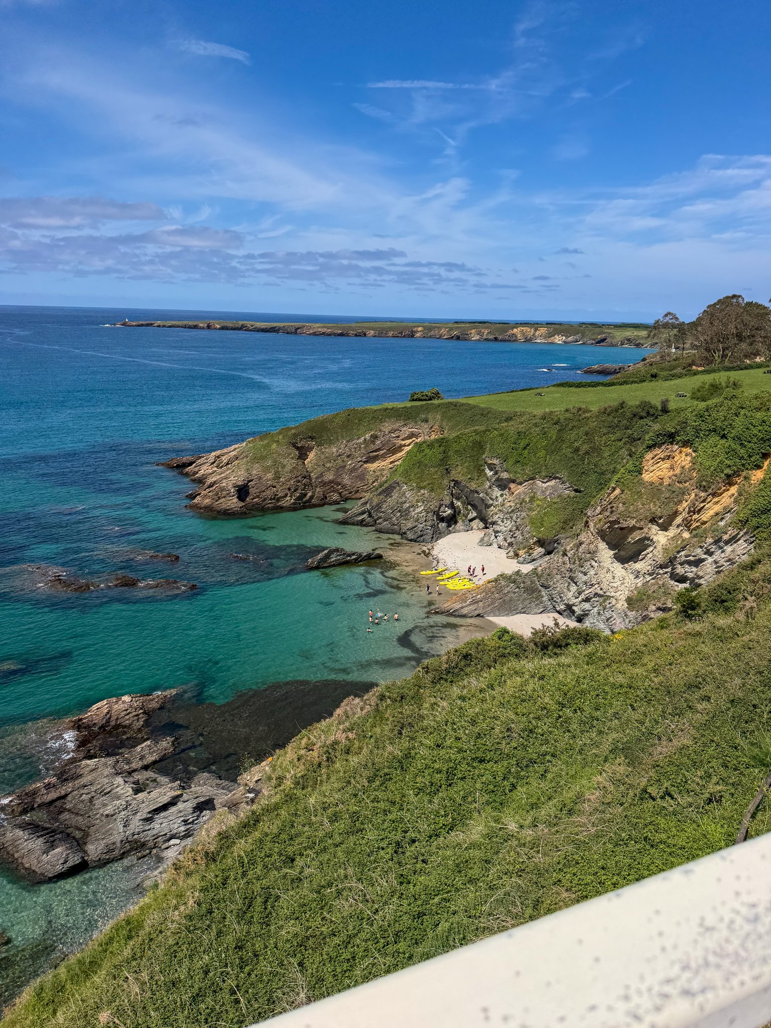
Today was a long and predicted to be hot day. It blurred until I got the coastal alternative heading towards Tapia de Casariego, where I again ran to Santiago. We walked the last several hours of the day together because it was road walks and time flew by. There were a few beautiful beach views and this is essentially where we would turn in from the beach henceforth.
There was a giant bridge before Ribadeo that apparently causes pilgrims a lot of problems. Because it is very long, it is very high up, with a very small lane for hikers to be on and often windy… a decent amount of hikers get rides across the bridge because it is scary. Santiago and I crossed it while looking at pristine water and a team on rowing practice. We were staying at the same hostel for the night and it was just okay. I ended up with my own small room so that was good, but everything else was just dirty. The sheets were packaged and clean at least. Santiago and I went to the grocery store and got dinner. We had dinner out on the patio and then I tucked in for the night.
Also note that a day like this day landed at 40 kilometers but these are trail specific distances.
-
Accommodation: Albergue Turistico Savior
Distance: 16.7 miles / 26.9 kilometers
Elevation Gain: 2503 ft
Elevation Loss: 2398 ft
It was a moderate length day so I slept in a little bit later and relaxed in the morning. From Ribadeo, the del Norte route turns inland for good - away from the beach and gets to the mountains - so I began being greeted with mountain views in sincerity. This morning was full of tour groups, large groups of people who were wearing matching T-shirts and they had bus accompanying them along the way. There were substantial climbs this day, primarily on roads; some busy, some rural. Water was a little bit harder to come by than it previously had been so I had to be a little bit more mindful. When arriving at a water source in town, making sure to rehydrate for awhile while there.
The rest of the day blurred together as I got into Lourenzá. This is a highly rated albergue, but it was an interesting check-in process. It clearly catered to a bit of an older demographic so I got the worst placed bunkbed, despite there being ample better beds, didn’t get offered dinner, and was told that I was doing something wrong by waiting in line for the shower? Eventually, I had a better experience throughout the evening, but it was still very strange.
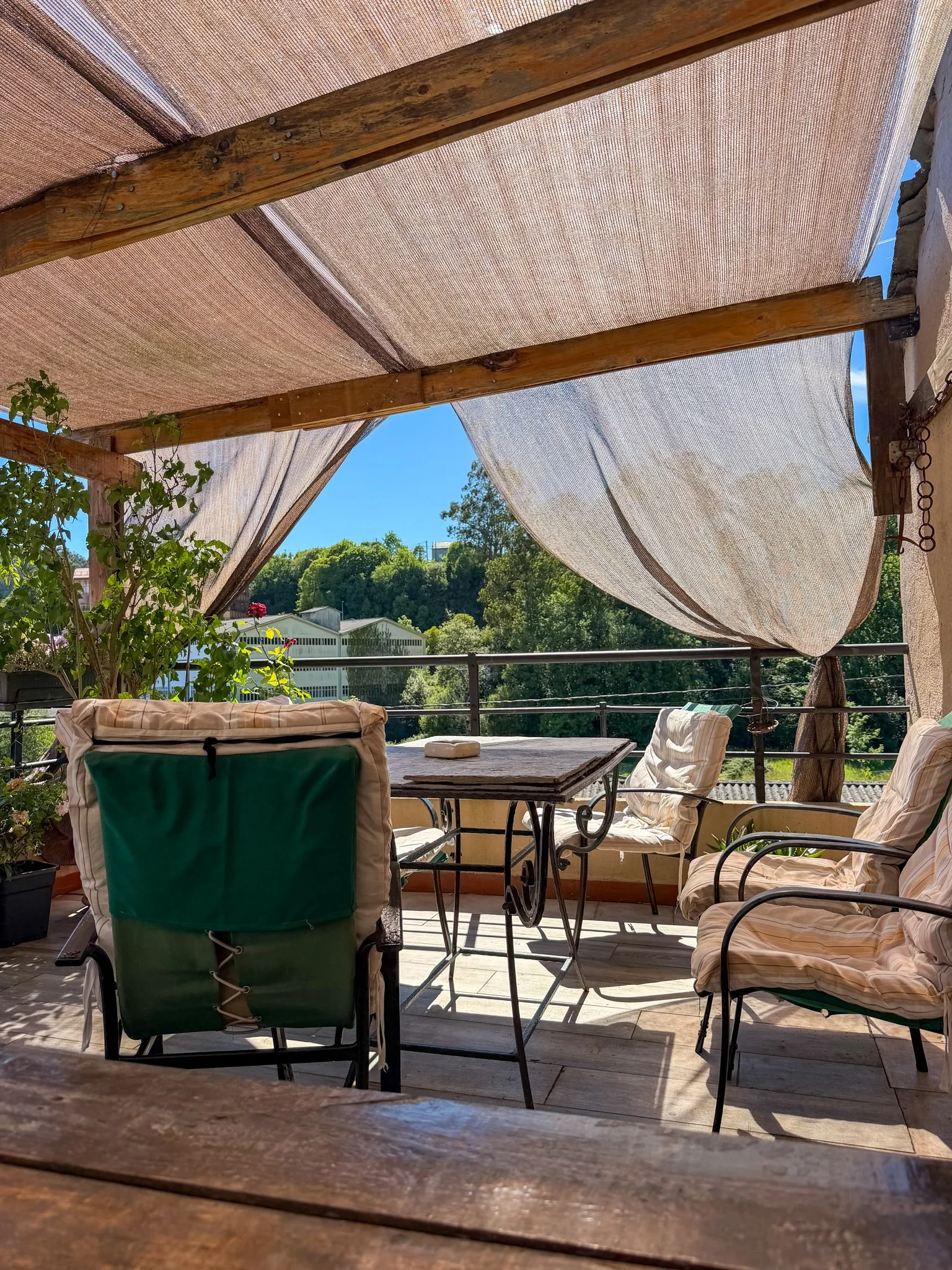
After reading the dinner menu on offer, I decided to save my snacks for the following day and actually had a lovely time. At dinner I met a lovely Australian couple, Tara and Clinton, and a group of three folks comprised of two Norwegian women, Gerd and Janne, a Canadian man Anthony. Everyone was so kind and the hostel staff became much more welcoming. The dinner was delicious and the terrace up on the third floor was a dream place to spend the evening.
-
Accommodation: A Carballeira Hostel
Distance: 29.2/23.5 miles / 47/37.8 kilometers
Elevation Gain: 3179 ft
Elevation Loss: 2016 ft
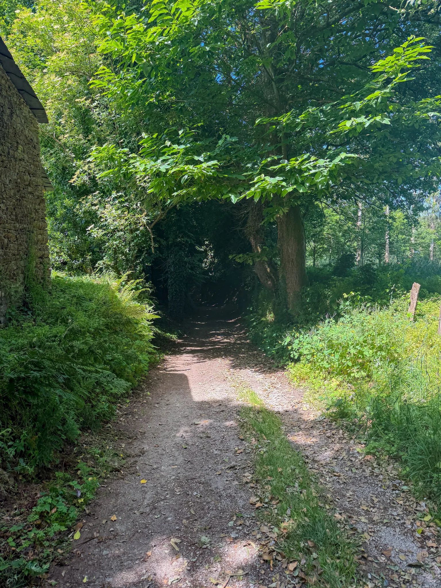
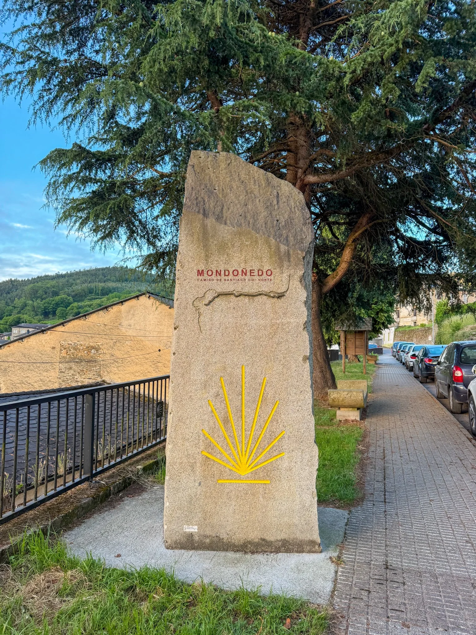
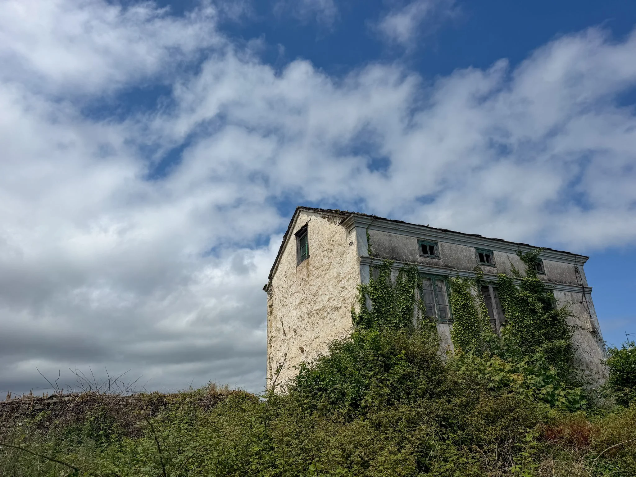
The following day again had a bit of a accommodation drought so I need to do a big day but because of all the poor sleep, I have been having I was just tired. There was a bus that was going to skip nine kilometers very early, so I decided to do that. This is a faux pas on other thru hikes but on the Camino, you can do whatever you want. So I began hiking from the Mondoñedo, which included a pretty steep uphill. It was a beautiful sunny day, but because I was getting into the mountains again, it was also a bit quieter. Up on the top of the main climb for the day I got to wind turbines and beautiful horse grazing areas. Again, the majority of the day was on road and once I got closer to my destination of Vilalba, it was pavement on the main highway.
I got into town and checked into my hostel. This was a decent one that had decent facilities as well. I went to the grocery store got dinner for the night and tucked in a bit early. Unfortunately, a group of six in their 60s arrived between 11:30pm and midnight and we’re showering/drinking/chatting until about 12:30am. I’m unsure why this group was so inconsiderate but they had me counting down the days left of sleeping in albergues.
GALLERY