Continental Divide Trail: Butte - Darby
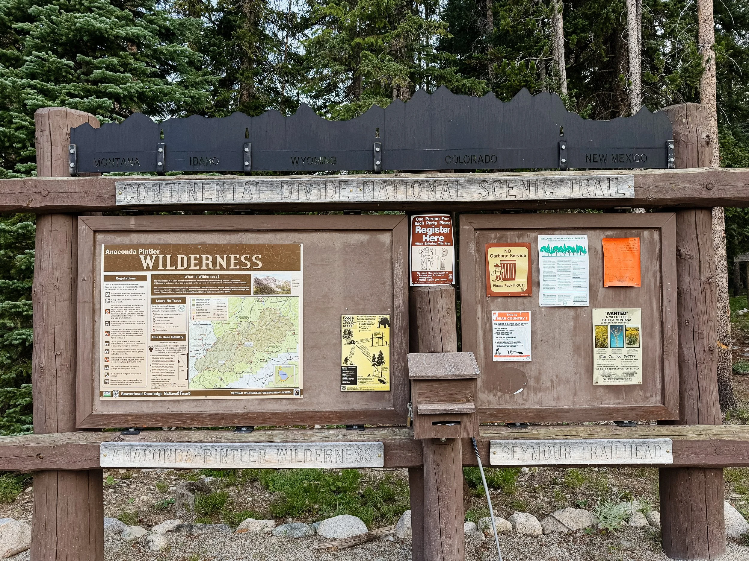
INTROThe Continental Divide Trail is a National Scenic Trail spanning approximately 3,100 miles from Mexico to Canada (or vice versa) through Montana, Idaho, Wyoming, Colorado, and New Mexico, following the geological continental divide.
NOTE
I am hiking the Continental Divide Trail southbound from Canada to Mexico. This trail will complete my Triple Crown of hiking, which includes both the Appalachian Trail and the Pacific Crest Trail.
Unlike the Appalachian Trail and the Pacific Crest Trail, the Continental Divide Trail is somewhat of a choose your own adventure. Alternatives routes, and A variety of options allows this trail to be more fluid. I will do my best to explain the routes that I take in the detailed section.
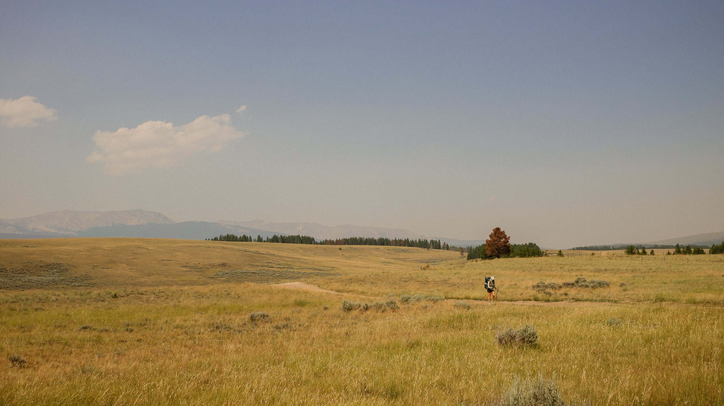
Wide open spaces
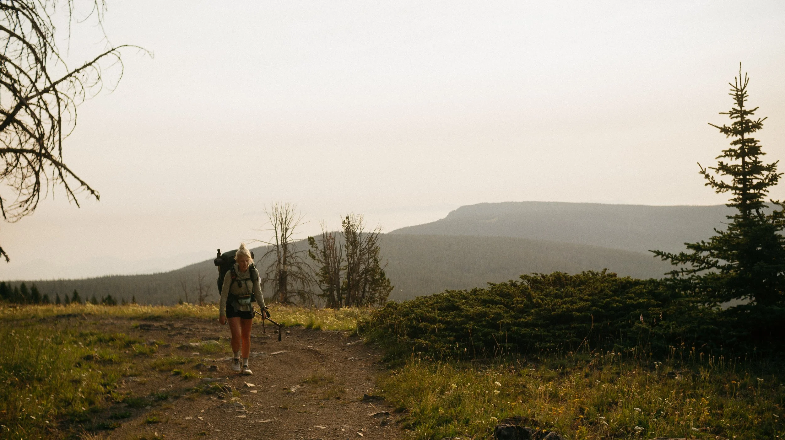
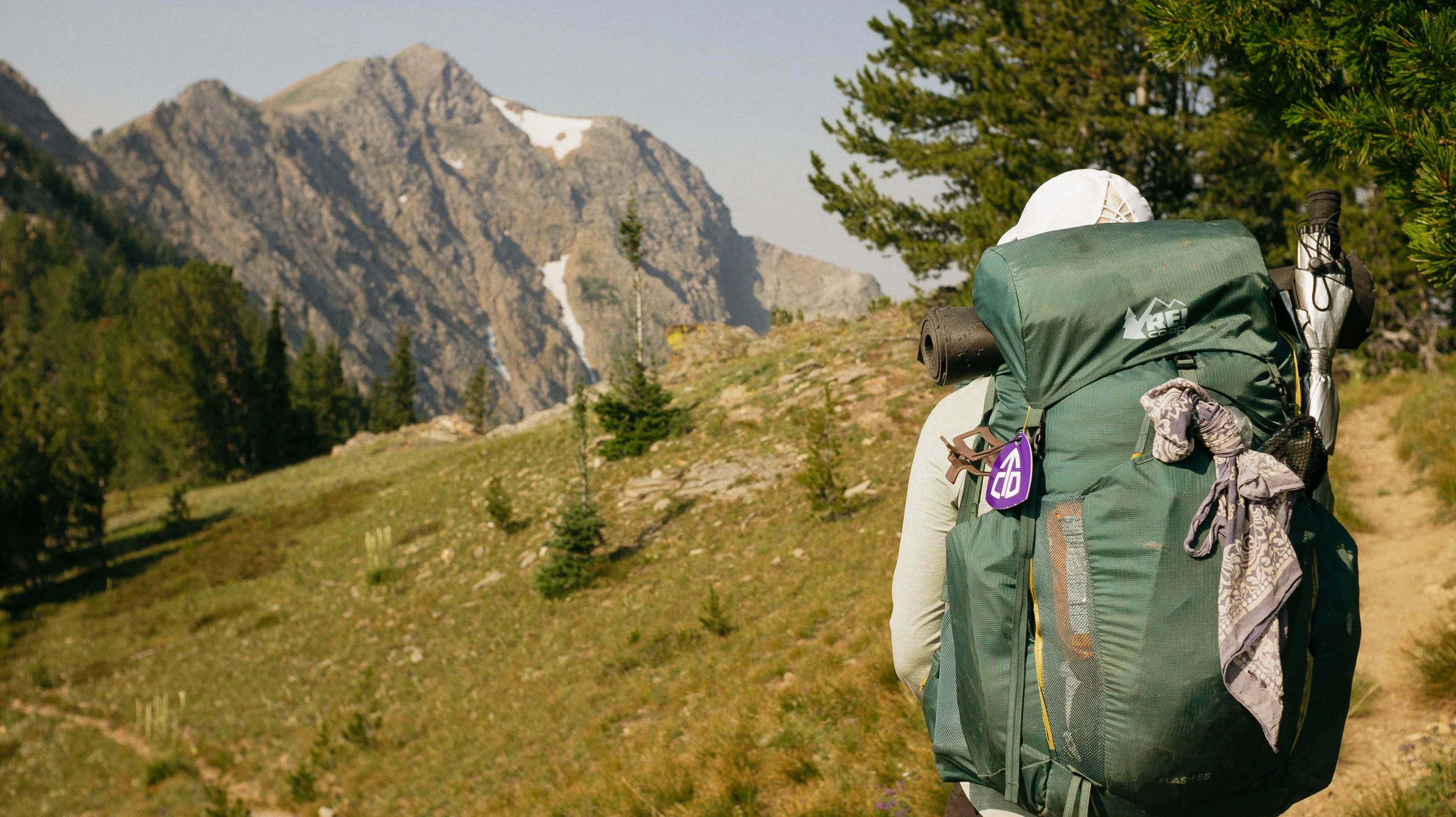
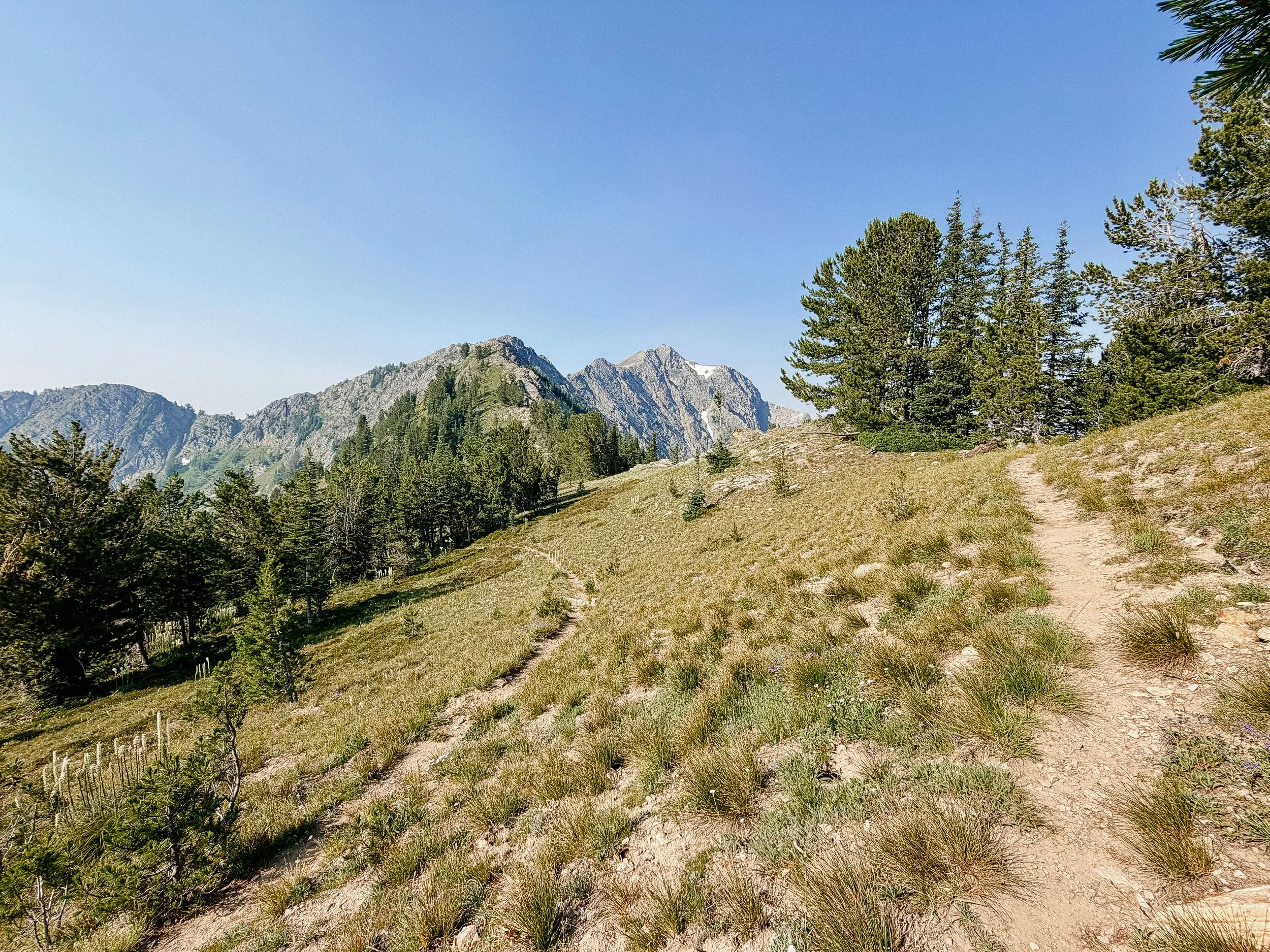
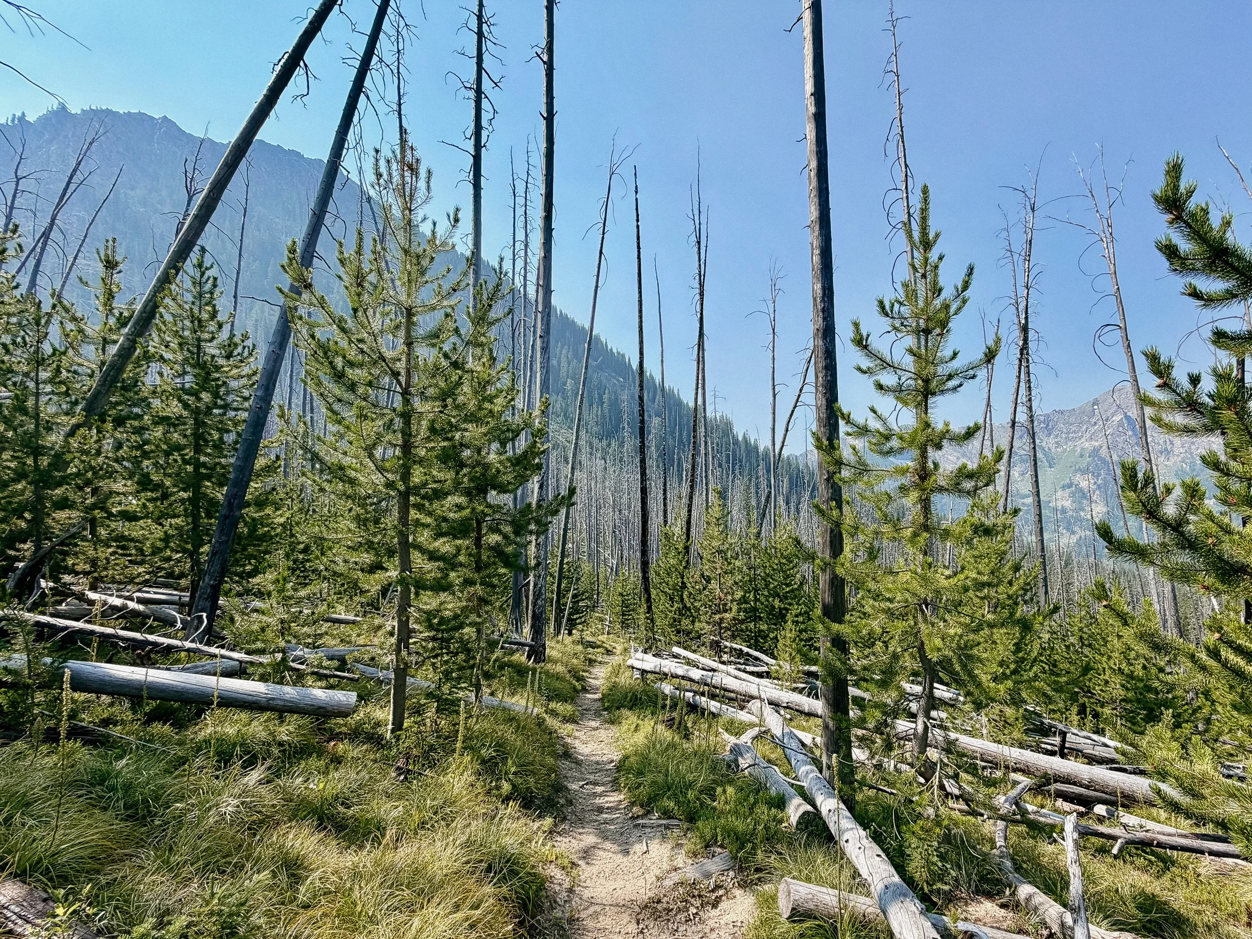
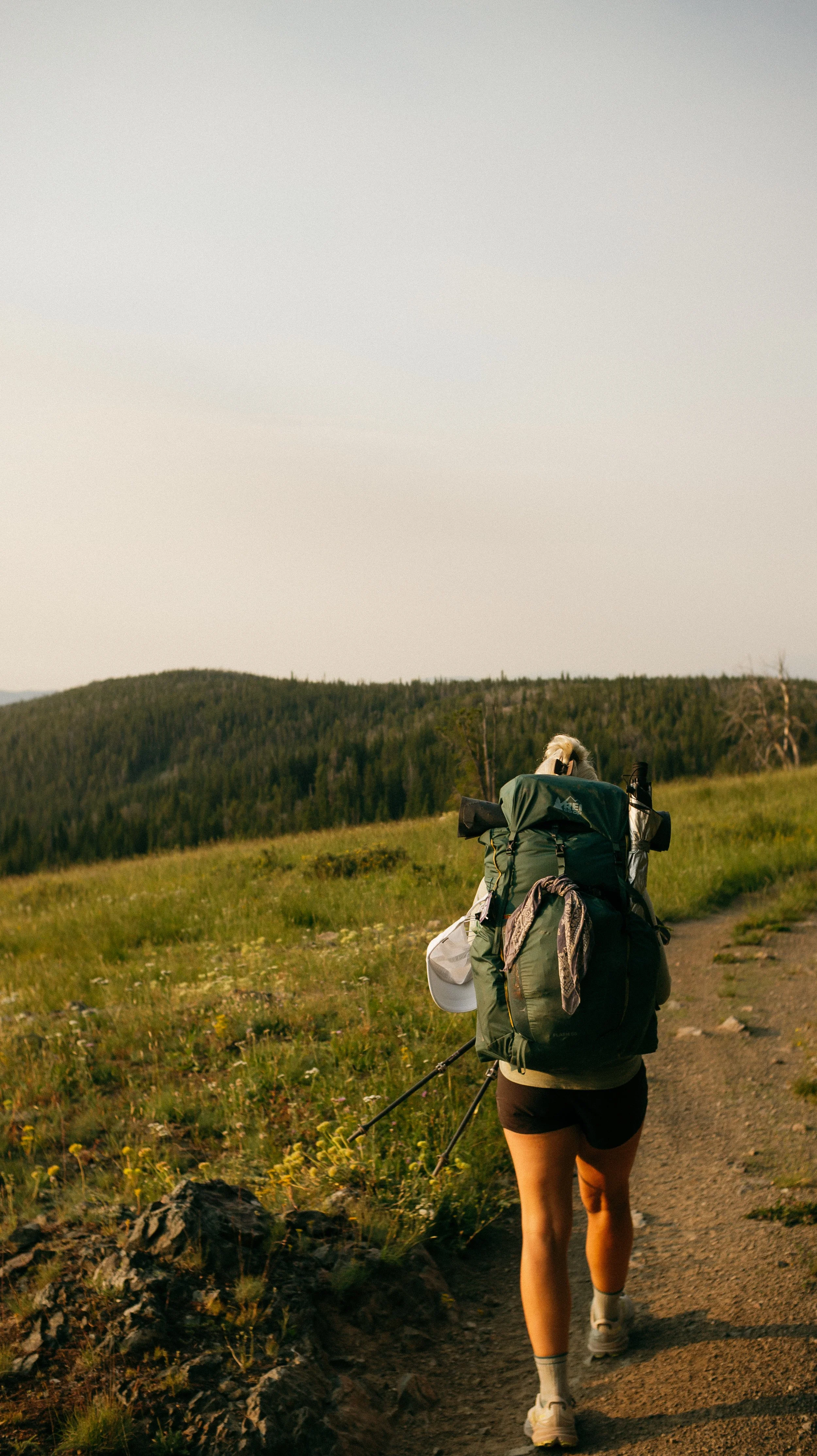
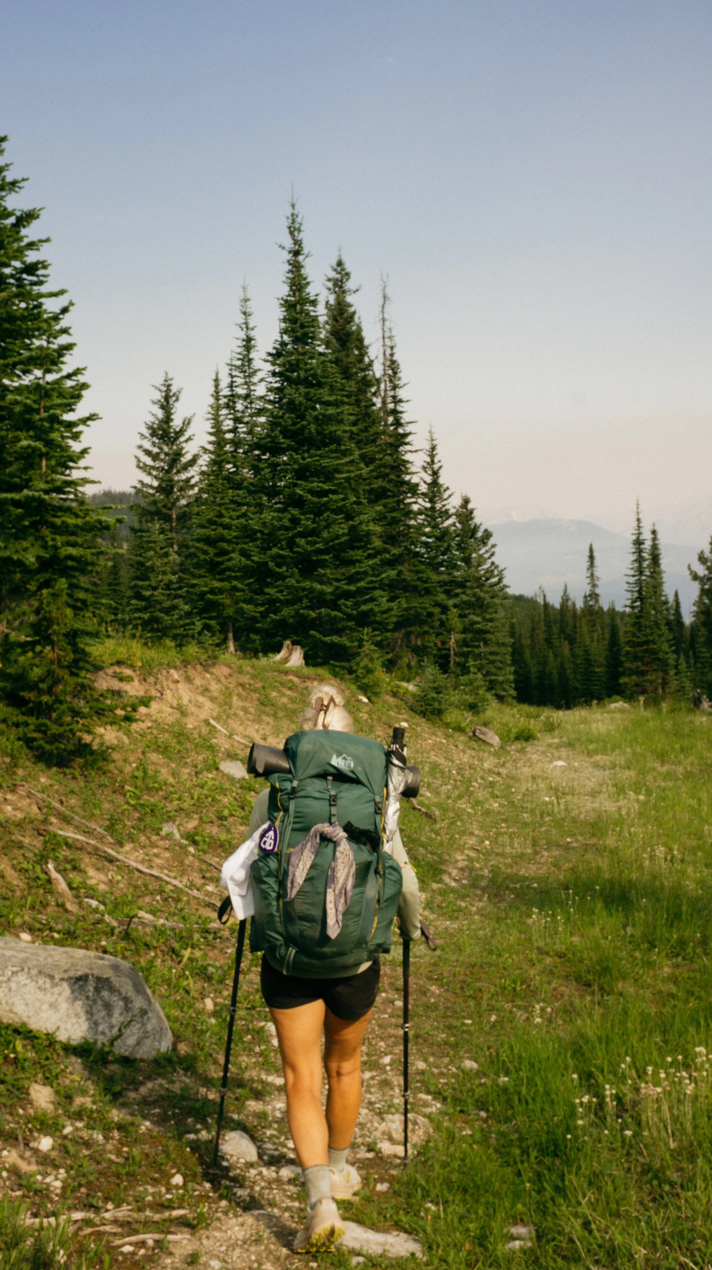
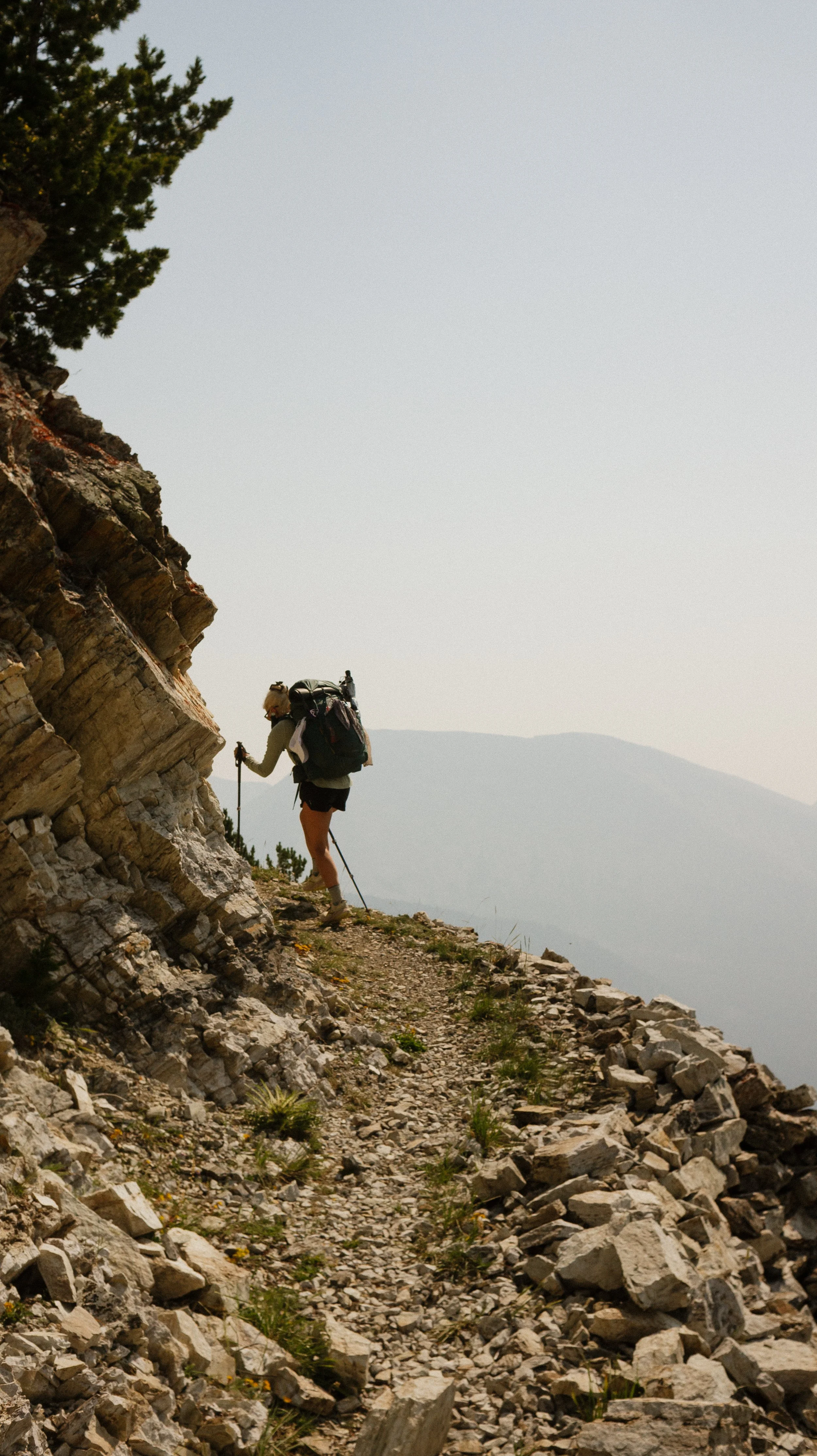
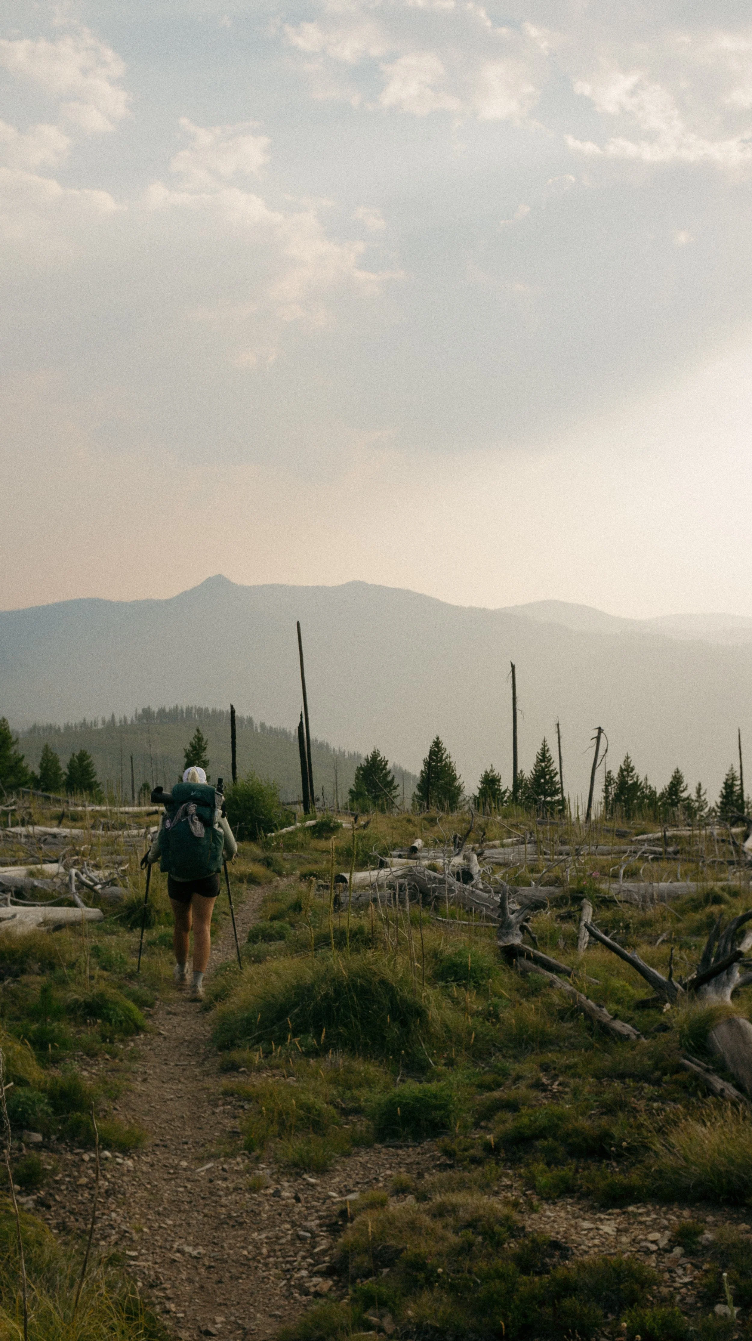
Day 30 - 35 took me from Butte, Montana to Darby, Montana. This section had many ups and downs (literally). High mountain passes and ridgeline walks in combination with low, dense forests that housed all of the mosquitoes. There was also a significant amount of burn scars that lead to tree blowdowns.
Enjoy!
OVERVIEWTOTAL DAYS6
FULL HIKING DAYS4
zeroes0
neroes2
TOTAL ELEVATION GAIN22,771 ft
TOTAL ELEVATION LOSS22,179 ft
MILES COVERED119.6 miles
-
Connecting with other hikers and a published author!
Proud of my body for holding up to the difficulties and mileage of
Feeling welcome in Darby, Montana
-
Blowdowns and dry water sources forced mileage
So much elevation gain!
The bugs were out in full force
Reflections
In Depth
-
SLEEP: Camp near Jerry Creek alternate
MILES: 15.1
ELEVATION GAIN: 3707 ft
ELEVATION LOSS: 1827 ft
WEATHER: Hot, Sun
OVERVIEW: I give up! This pack is too heavy.
A day without an alarm is always a happy one on trail. Unfortunately my stomach becomes the alarm and to the hotel breakfast I go. After a disappointing but substantial amount of food, I head back to my room to nap for a bit longer before trail calls.
At 11:00am checkout time, I meet George at Taco Bell where I get some final calories and caffeine via a fountain drink before getting back to trail where we left off. There are few Ubers so we end up getting one that drove us the day prior!
It is another terribly warm day with few clouds in sight. With a full six day food carry and a full water carry - my pack is nearly unmanageable. In fact, at the 2.5 mile mark, I give up. I laid down on the side of the trail for more than 30 minutes as I caught my breath. Of course, climbing out of town is when my pack is the heaviest. And with a 15 mile water carry to our agreed upon site, it was all I could muster. And why not add in many tree blowdowns along the way?
I eventually arrived to the campsite and was greeted with a lovely water source. George had been there for hours already which will tell you how slow I had been going. After drinking a ton of water and downing dinner quickly, I tucked in for the night proud of my first month on the trail.
-
SLEEP: Camp at Seymour Lake Campground
MILES: 20.6
ELEVATION GAIN: 1922 ft
ELEVATION LOSS: 3639 ft
WEATHER: Hot, Sun
OVERVIEW: What an absolute gem, Doc.
The site from the night prior was a small alternate route that had a good water source, but getting back to the regular trail without backtracking was comically steep. Am I on the AT again?
The remainder of the morning was mostly simple; old logging lane that allowed for some faster miles. At one point, I did take the wrong trail instead of turning and went 0.4 out of the way but you win some/you lose some.
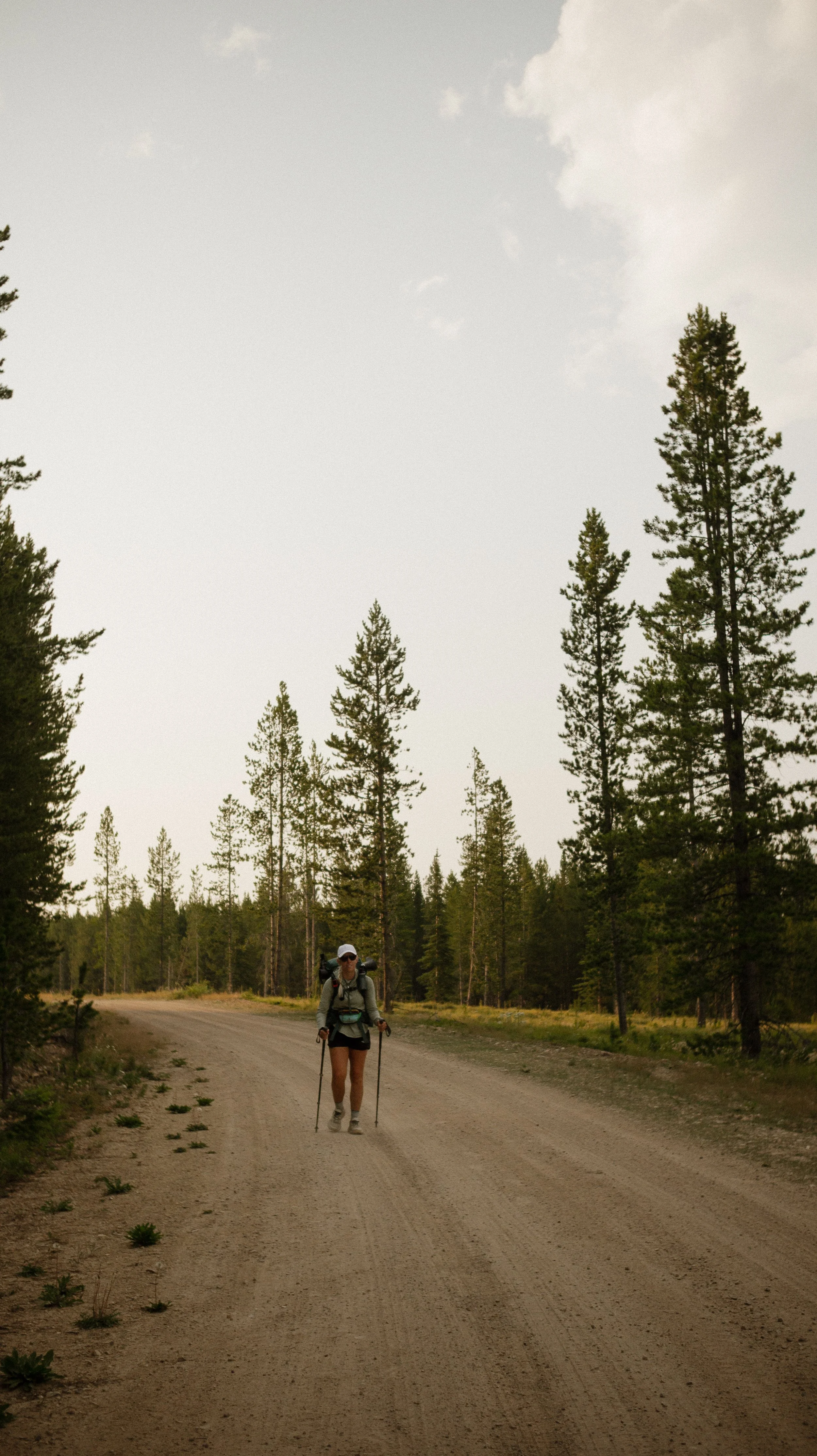
It was once again awfully hot so we found shade next to a small river for lunch. The next several miles of the day were completely exposed so I hydrated as much as possible. After some surprise bushwhacking because the trail just disappeared, there were several miles of roadwalking. On pavement. In the direct sun. With temperatures above 90 Fahrenheit.
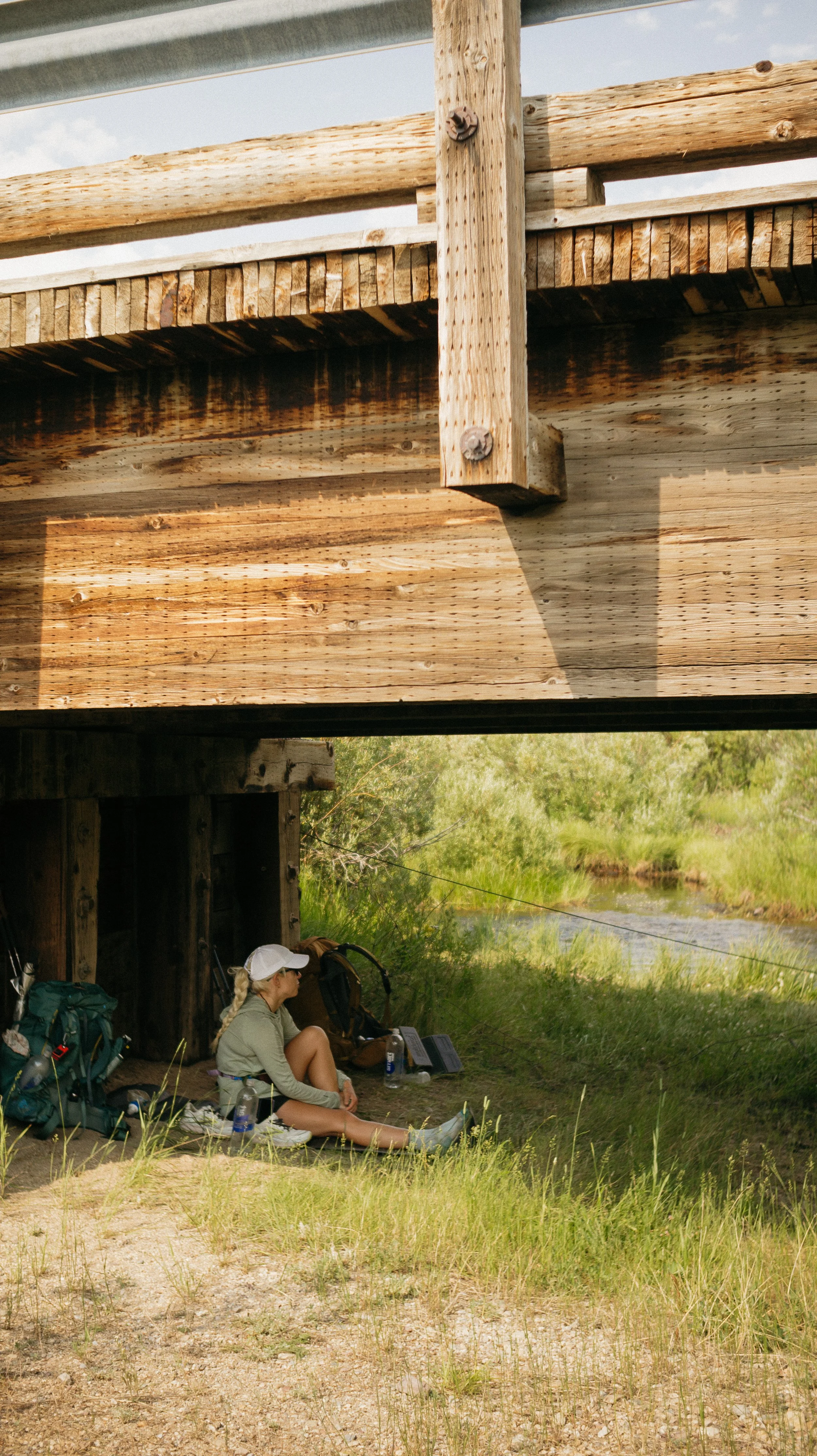
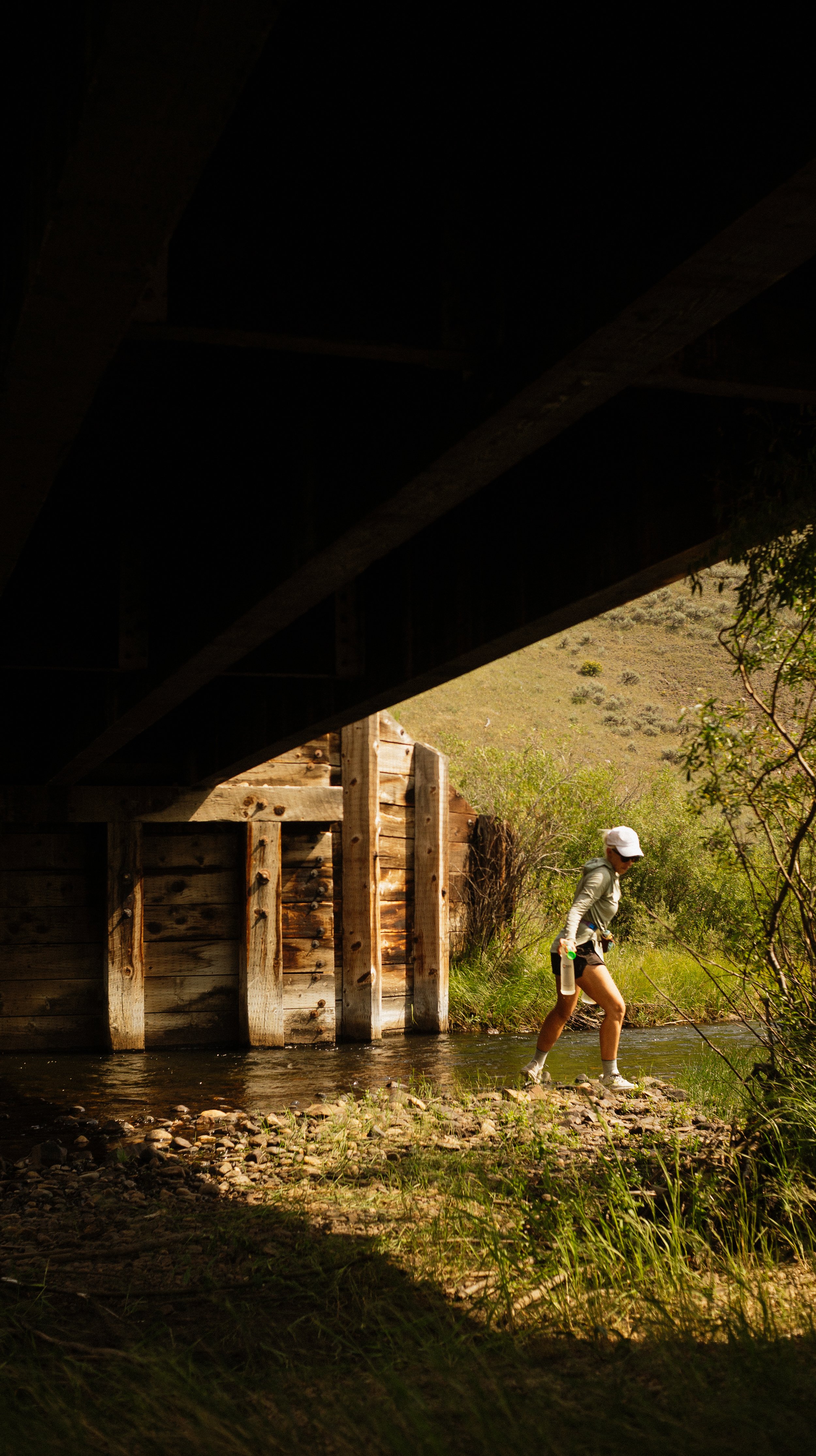
At the next water source and at the beginning of the gravel roadwalk, we took a break under a bridge that was also home to many swallows. A hydration break with entertainment? Okay!
Finally I made it to Lower Seymour Lake Campground where we set ourselves up for the night. The pump water was potable and allowed me to rinse out my already sweat saturated hiking shirt. A picnic table for dinner was a real treat.
At some point in the evening, Doc and Scout came over to visit. Though not on the CDT, Doc had done an epic adventure. Pulling a hand wagon along the original Mormon settlement trail, 1300 miles. He had written a book about the experience and based on his narrative, I cannot wait to read it. As I asprire to write about my trail travels one day, it was inspiring to know that it can be done. It is amazing to find kindred adventure spirits in the most surprising ways.
-
SLEEP: Camp at Mile 574.4
MILES: 24.9
ELEVATION GAIN: 6365 ft
ELEVATION LOSS: 4751 ft
WEATHER: Hot, Humid, Bugs
OVERVIEW: Proud of the ascent accomplished!
After such a relaxing evening at the campground, it was only natural to wake up extra early to get in miles while it was still cool outside. This was a big day with four passes that added up to my biggest elevation day thus far on the CDT.
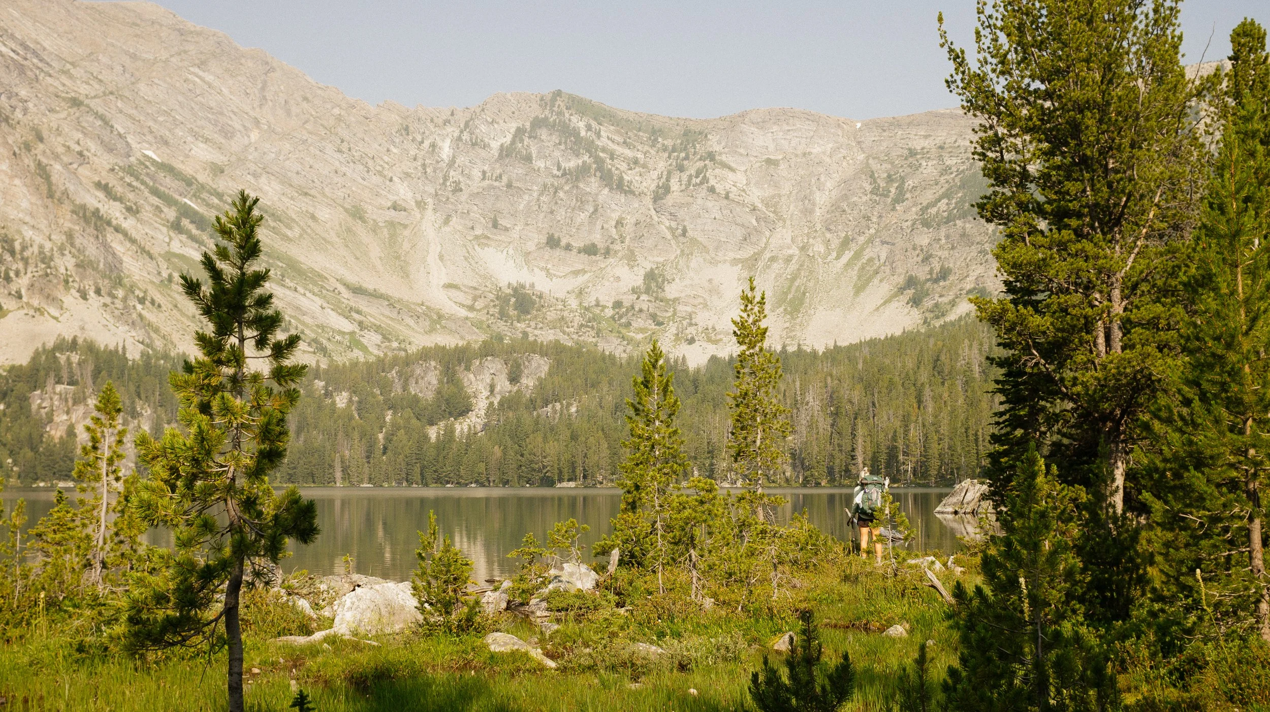
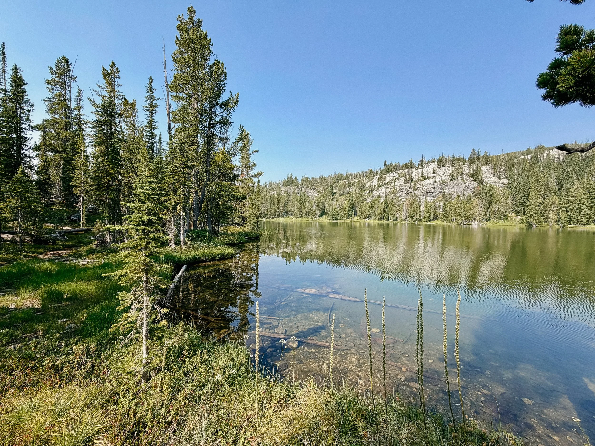
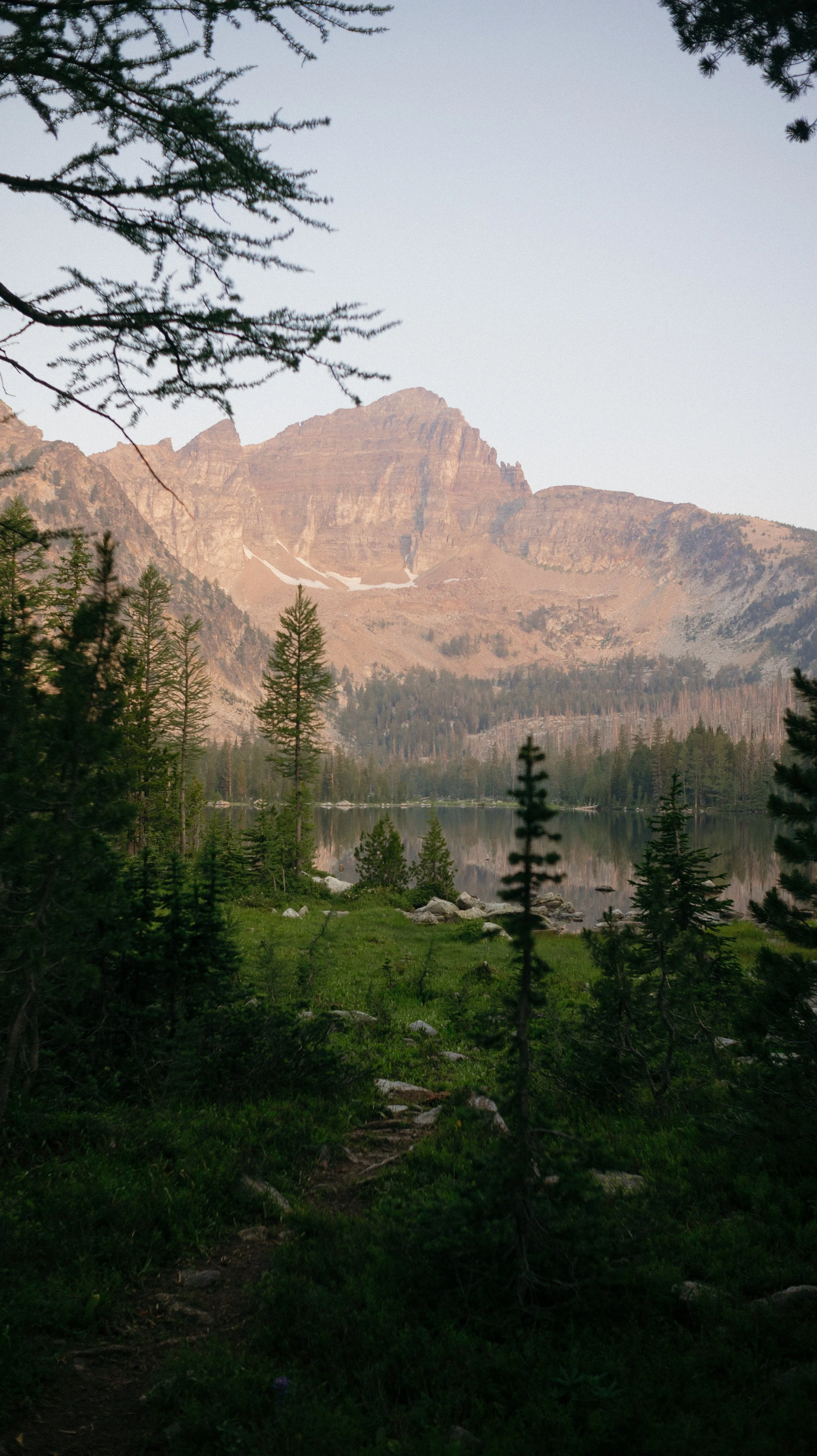
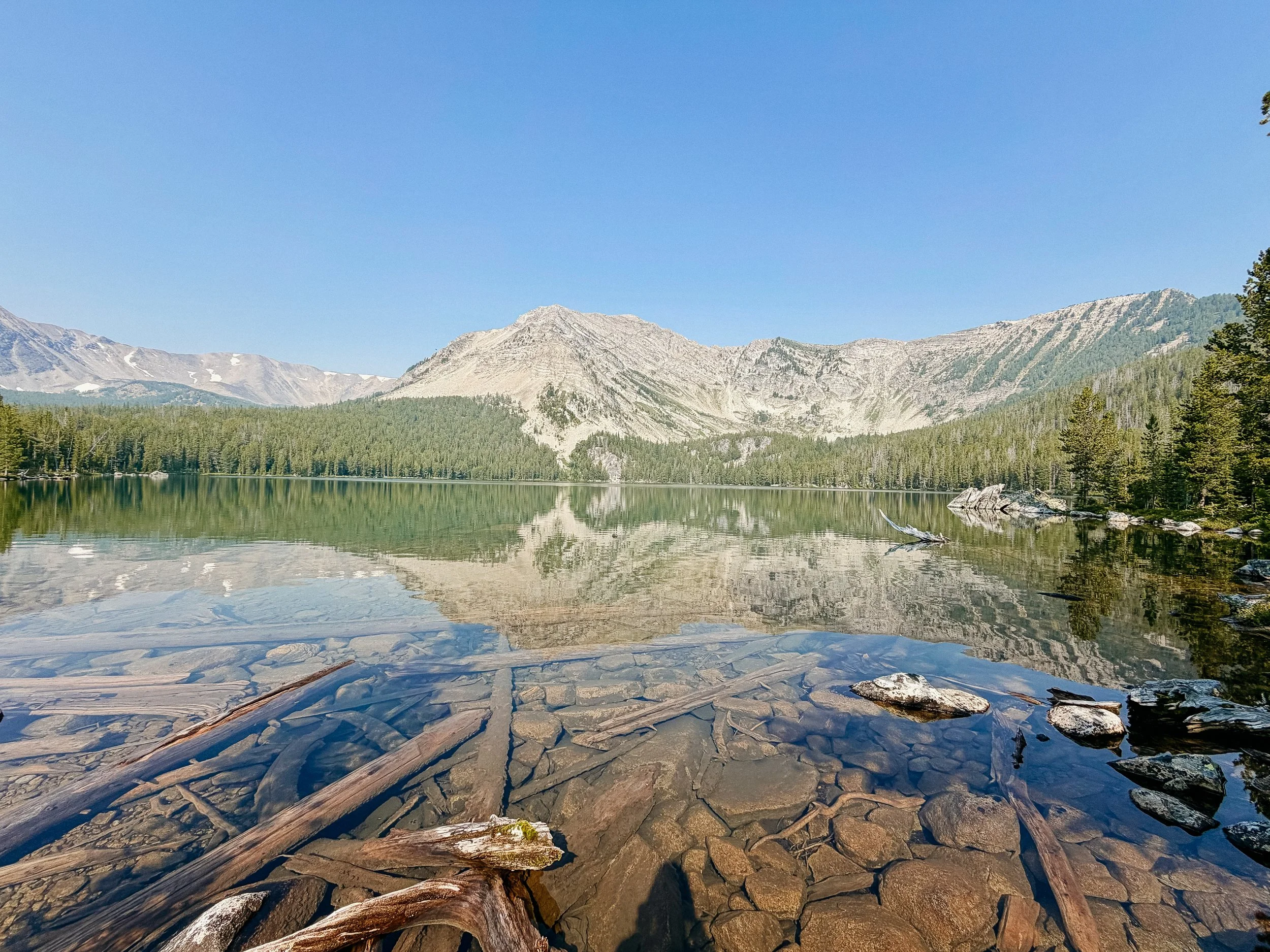
The first several miles were gradual and we met some lovely section NOBOers, Frog and Sidequest. They gave us some good intel for the coming passes which I always appreciate. Upon arriving to Upper Seymour Lake, I can understand why there were weekend backpackers out - it was stunning! The reflection was pristine of surrounding
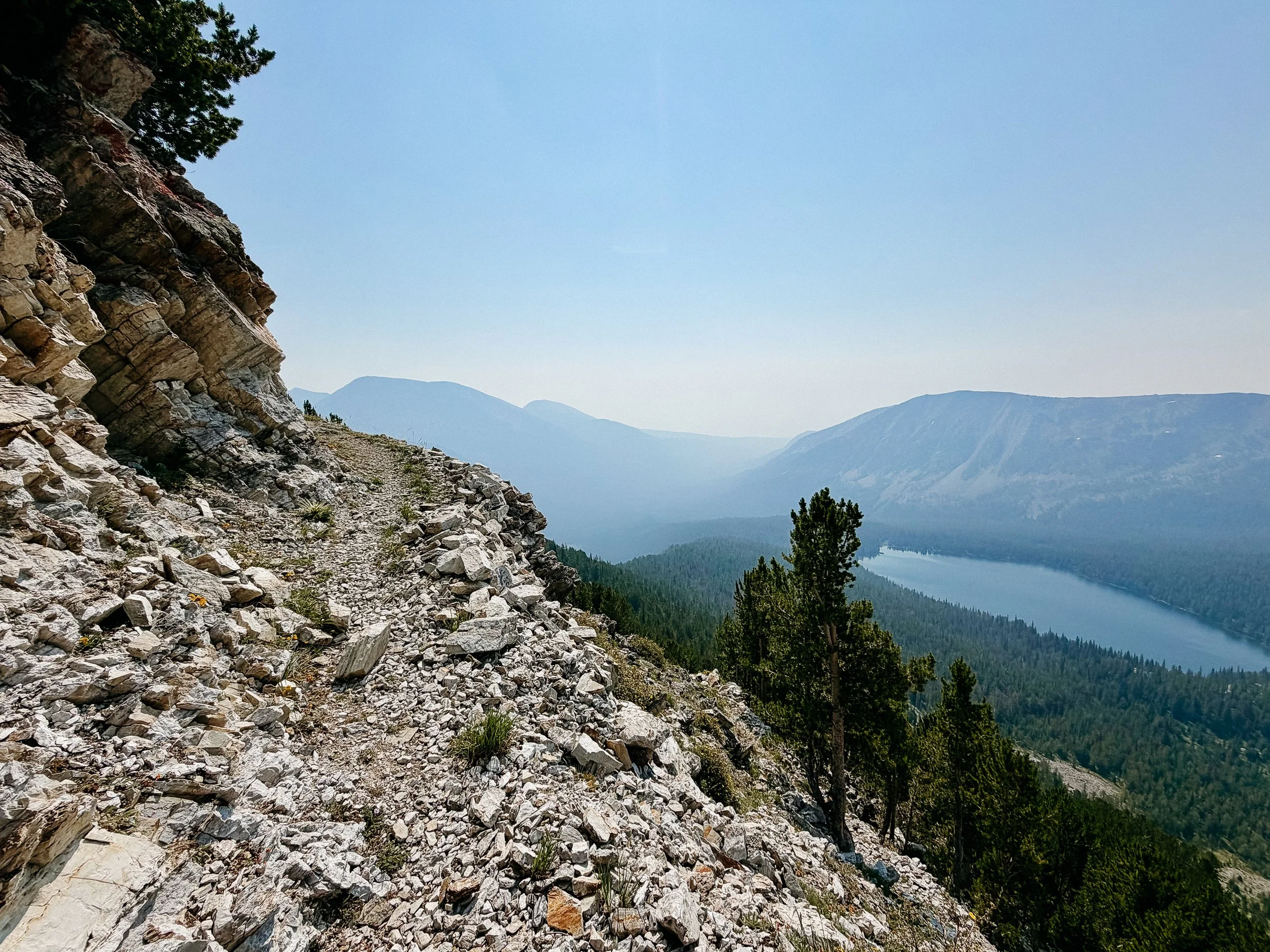
mountains and crystal clear! Unfortunately I saw a rocky switchback trail high on the cliff overlooking the lake and thought there was no chance that was my trail.
Turns out, of course it was my trail. One good piece of news from the never ending ascent up was that I ran into my first pikas! Look this perfect rodent up, they are so cute. When I summitted this no name ridge, I was immensely proud of myself. Although there was some wildfire smoke in the air, I was excited to push on for the day.
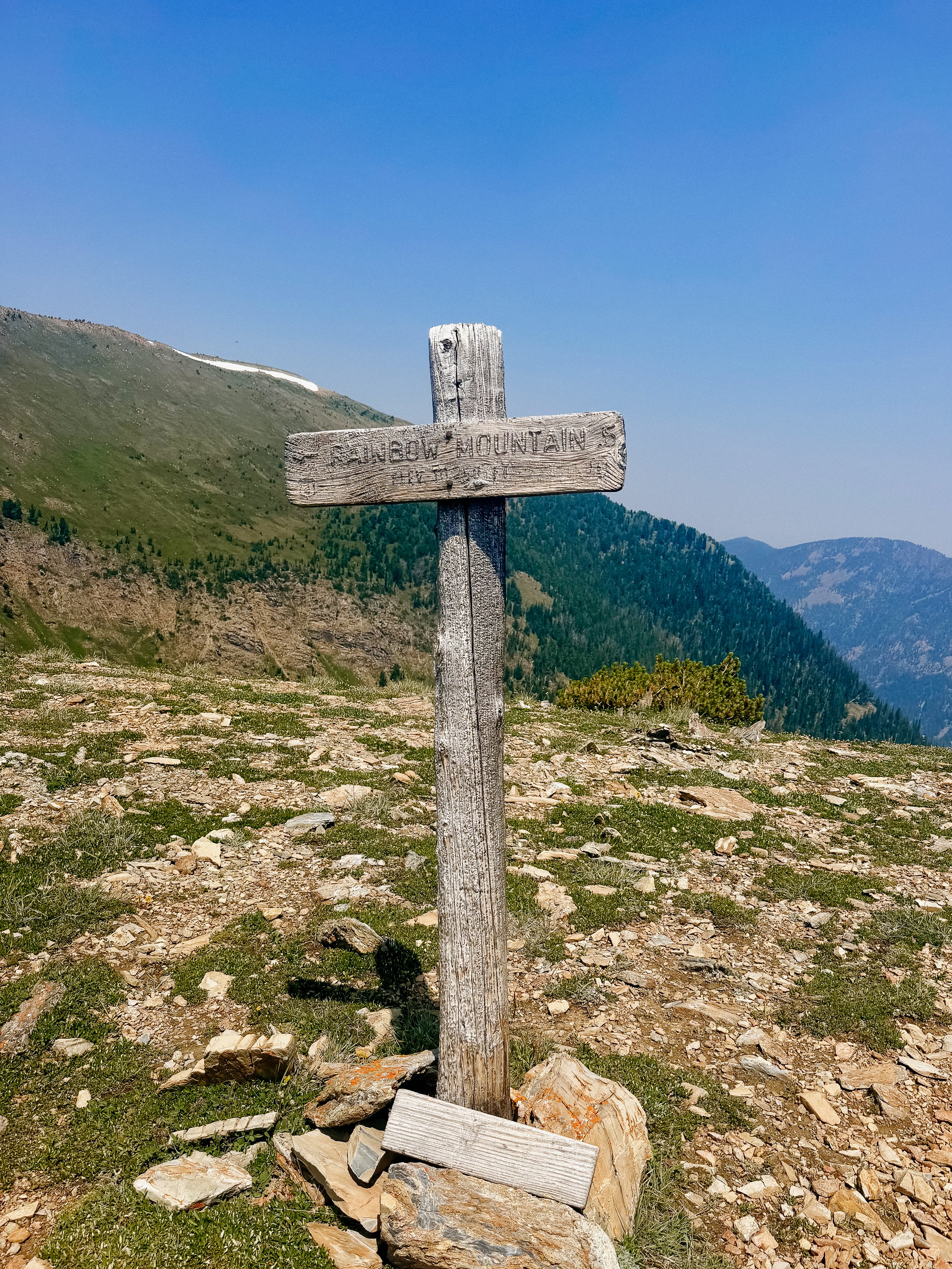
The next pass was only 4 miles away which meant it was steep down and steep up. This one was the hardest of the day because it just. Kept. Going. There were a few false summits and those hurt the soul. Be gone with you, Rainbow Mountain!
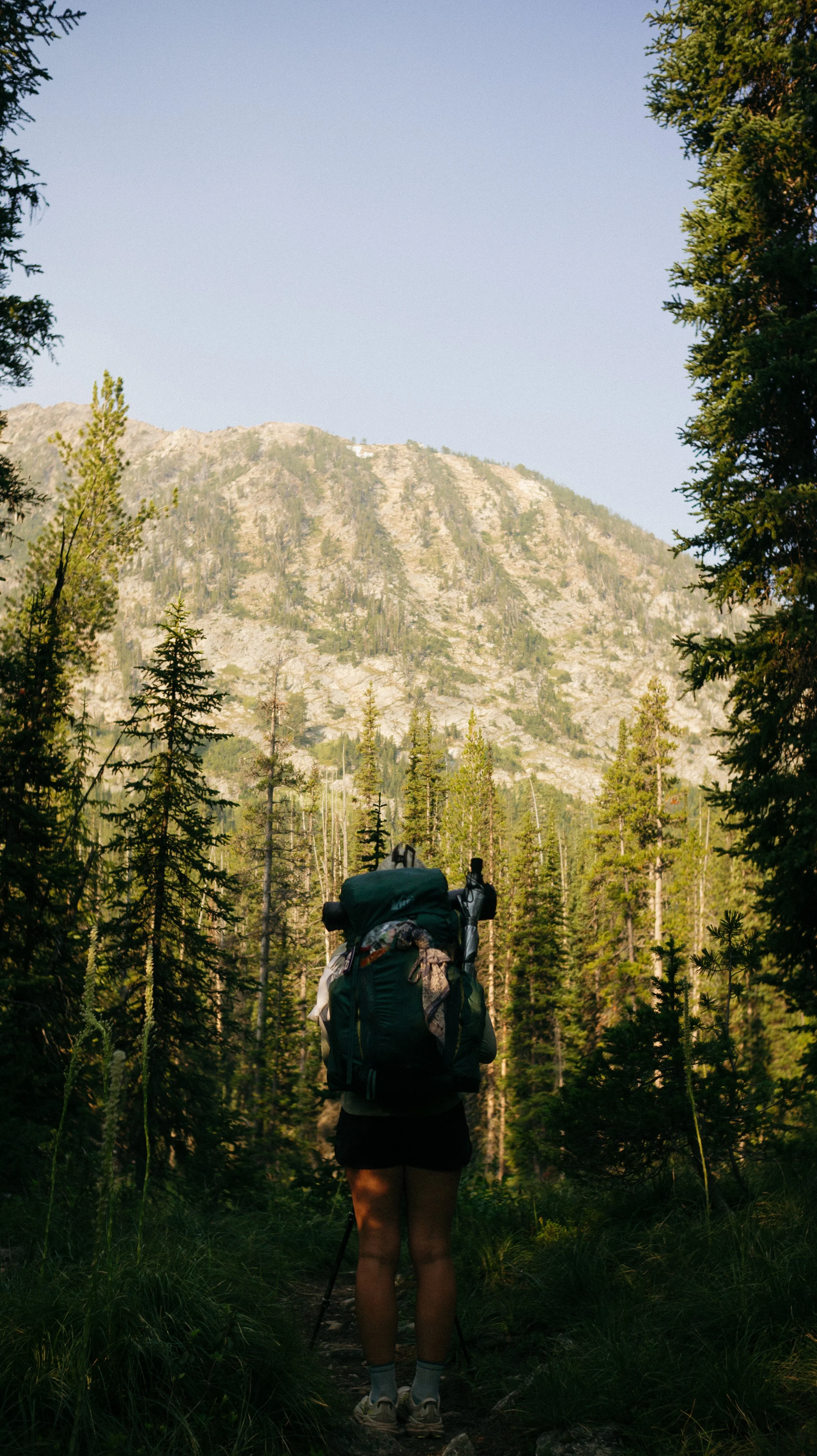
Next was Cutaway Pass which was honestly fine. I had a good podcast in and the time went by fairly quickly. The descent of Cutaway Pass was gorgeous, dense forest. The trees were large and the foliage was present. As I began to head up to the final part of the day towards Warren Lake, it was a green tunnel.
The ascent to Warren Lake was comically steep and took my an embarrassingly long time. Once I had arrived, I saw George in full rain gear. This indicates to me that the bugs are bad and oh boy, that was the correct assumption. As I am trying to to use bug spray this trip, I just cover myself up as much as possible which only partially works because they can bite through my shirt:
Several other hikers arrived because this was the day that the Anaconda cutoff rejoined the CDT so we were all bubbled up again. Everyone hid in their tents, including me, so I could only socialize for so long!
-
SLEEP: Camp at Mile 597.7
MILES: 23.5
ELEVATION GAIN: 5938 ft
ELEVATION LOSS: 5764 ft
WEATHER: Hot, Bugs
OVERVIEW: More blowdowns?
The symphony of mosquito buzzing lasted through the night and I dreaded getting out of my tent in the morning. It was another big day, not necessarily in miles but in elevation over those miles.
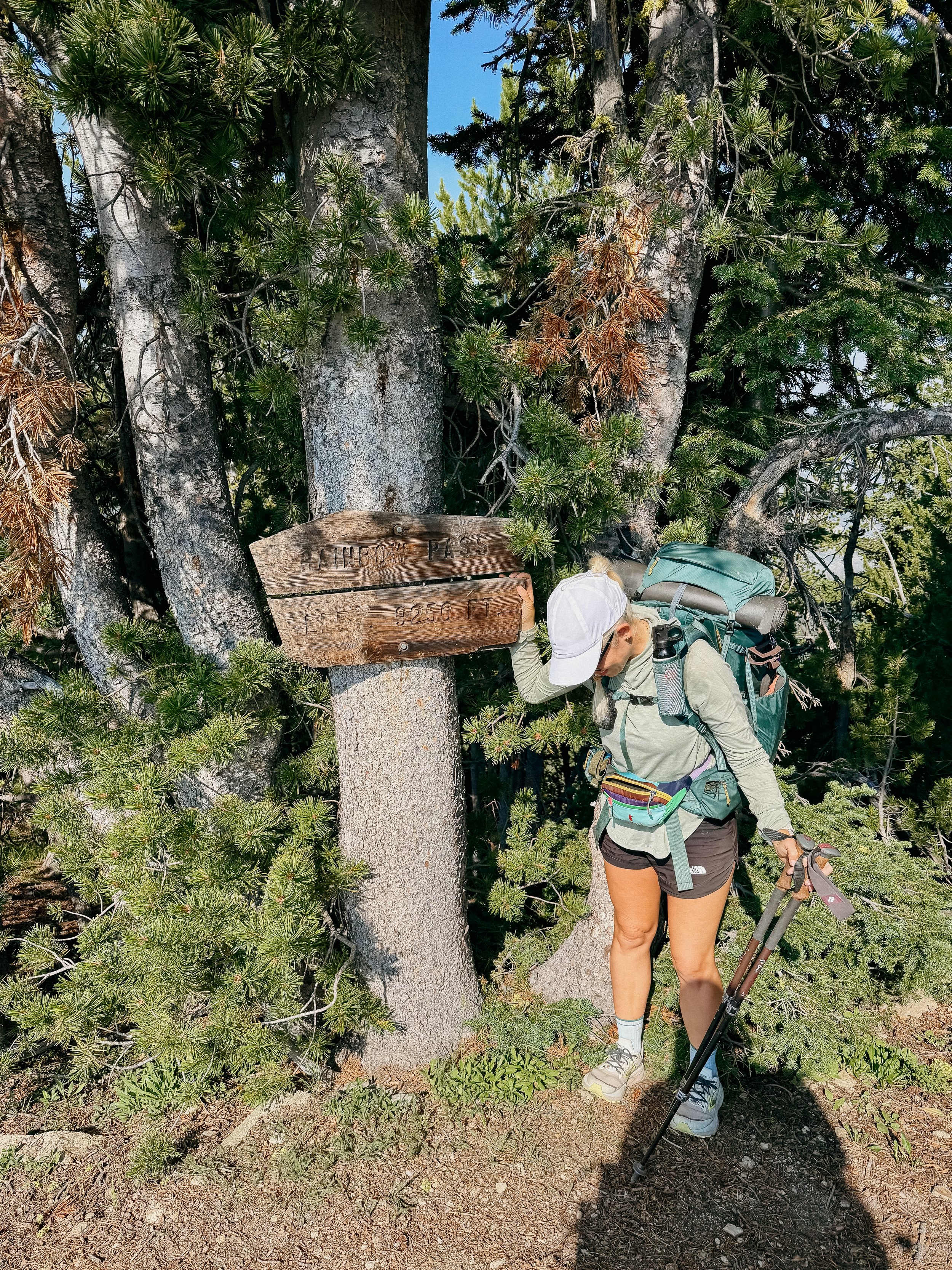
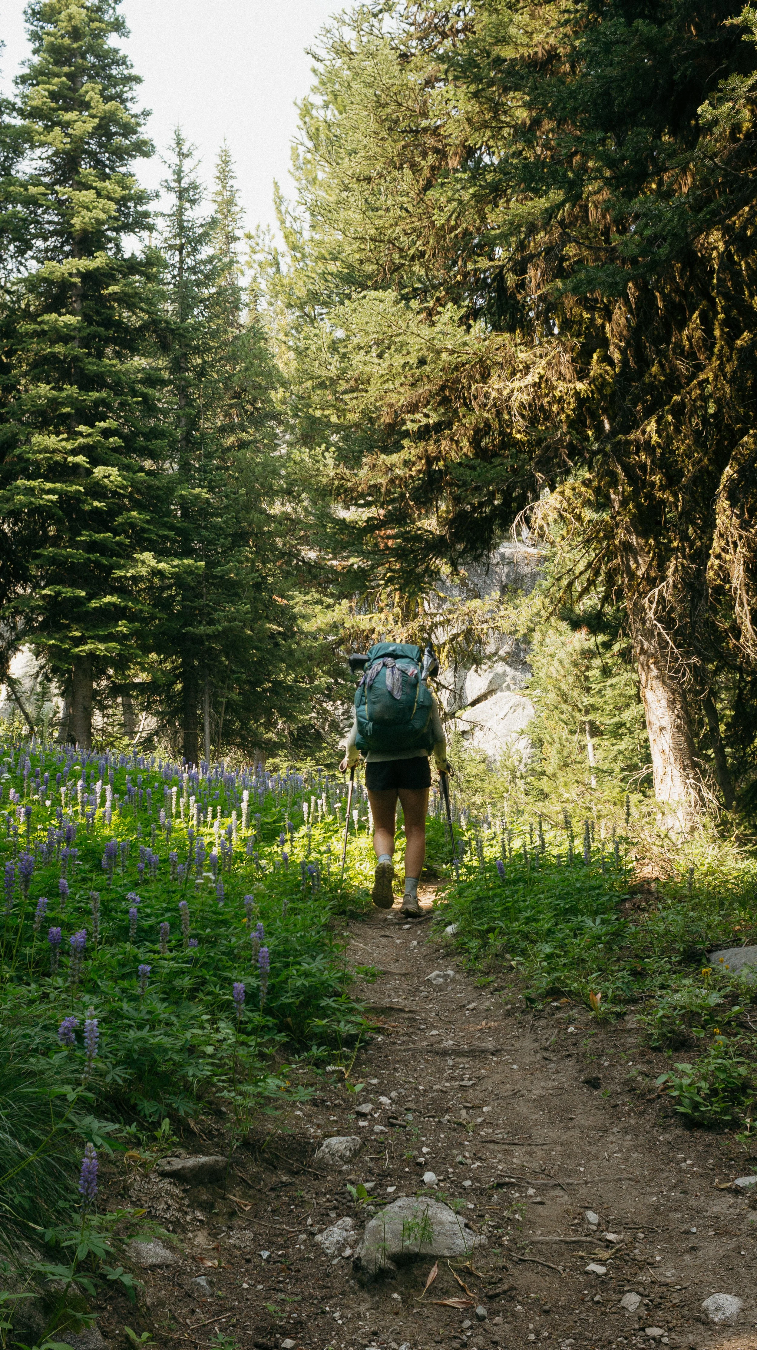
Rainbow Pass was the big climb of the morning and the wildflowers heading up were amazing! Though the bugs persisted, it was easier to forget them because of the beauty. At the top of the pass (over 9k feet) I had a snack while FreeBird came up just behind me. We connected over music and instruments - she is carrying a travel guitar with her!
I got down to Johnson Lake which felt like a momentous occasion because I changed maps on the thru hiking mapping application, FarOut. This was after an arduous 583 miles and I was immensely proud to be done with Northern Montana.
Pintler Pass was also a steep one but provided beautiful views on either side. This would quickly go away as in the following valley, blowdowns were everywhere. I felt flashbacks to the Bob Marshall Wilderness but this was not nearly as bad. I ran into a few Northbound hikers that mentioned I had several miles of blowdowns coming up but they were nearly done by the next town stop. Thankfully!
I was dry camping this evening so I filled up my full water carry before heading up the final ascent of the day. It was hot, dry, had blowdowns, and I was weighed down by 8.8 pounds of water. I ended up walking nearly 0.5 miles out of the way (1 mile round trip) and the only reason I noticed was I thought to myself, “this is a nice trail, no way it could be the CDT”. Turns out it wasn’t.
I arrived at camp where FreeBird and George were chatting music. I had a quick dinner and then tucked in because nearly 6000 ft of gain is a full day.
-
SLEEP: Camp near Mile 627.0
MILES: 28.8
ELEVATION GAIN: 4180 ft
ELEVATION LOSS: 5699 ft
WEATHER: Hot, Sun
OVERVIEW: Biggest day of the year!
Water was sparse in this section therefore it dictated my miles. Which meant.. today was a 28+ mile day. I woke up early and headed out.
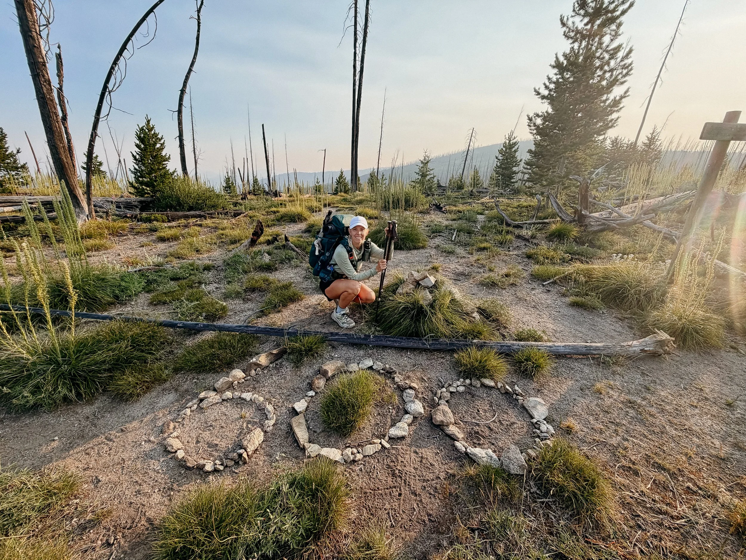
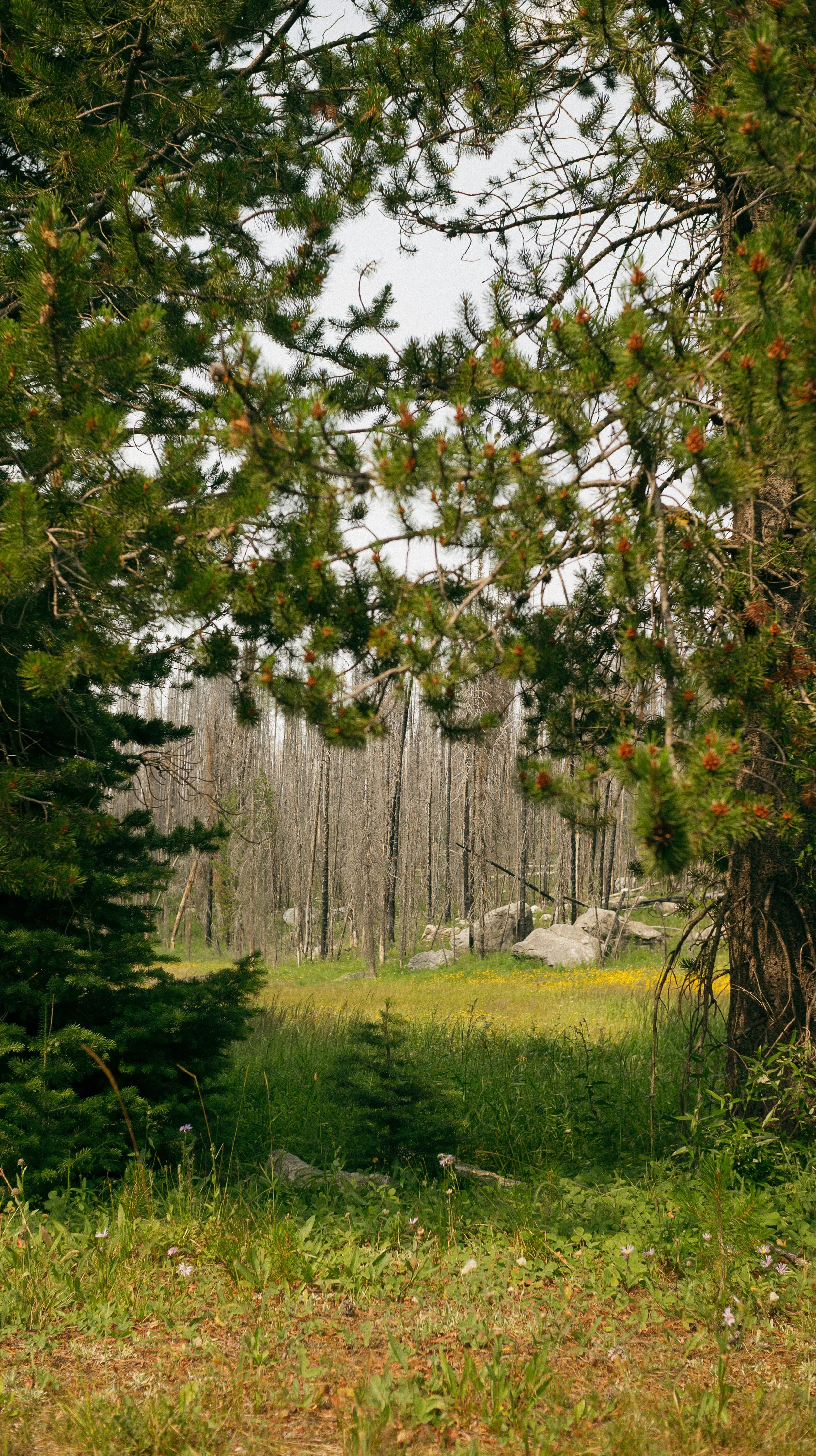
Nearly the whole day was a burn zone with the cherry on top of blowdowns. There was a distinct transition from lush pine forests to burn scar back to dense forests. To be honest, it was an audiobook and podcast type of day. At the 25 mile mark, I sat down and cried because I was so tired of walking.
Once George and I arrived to camp, it was actually a lovely spot. Great access to water and flat areas for our tents.
I could not wait for town the following day.
-
SLEEP: Hotel (Darmont Inn) in Darby, Montana
MILES: 6.7
ELEVATION GAIN: 659 ft
ELEVATION LOSS: 509 ft
WEATHER: Sun, Hot
OVERVIEW: Love a hiker friendly town!
Because the day prior was so long, this was a short one. I also ended up taking a bit of a road alternate that cut a mile off which I was thankful for. I was dreaming of breakfast in town and wanted to get there ASAP.
It only took about 15 minutes to get a hitch and from a lovely woman, Heather. She and her family live in the area and she was a wealth of knowledge. The show Yellowstone was filmed near Darby and I saw the actual ranch! She had some great stories about the crew and what it took to house that many people on the crew.
I arrived at the Montana Cafe for breakfast, thankfully, and enjoyed being in town so early. A quick resupply and then to my accommodation for the night, the Darmont Inn. This hiker friendly spot has a special suite for hikers that has in room laundry! I washed my quilt and it was a great choice. After dinner out, I tucked in and watched a movie. A great nero day!
GALLERY