Pacific Crest Trail Hike: CA Section F – Mile 566 – 653
Pacific Crest Trail Hike: CA Section F – Mile 566 – 653
Hello from the trail! The PCT CA Section F was a short section that flew by with the mileage I was able to do. This was also the last full section in the desert before hitting the Sierra Nevada mountain range. I ran into some unpredictable weather that you would not think to find in the Mojave desert. Similar to the last section, be thankful you are reading this and not experiencing the constant, exhausting wind.
PCT CA Section F Summary
Statistics:
Days: 5
Full hiking days: 3
Zeroes: 1
Neros: 1
Total Trail Miles Hiked: 87.4
Total Miles Hiked: 88.1
Trail Elevation Gain: 17,285 ft
Trail Elevation Loss: 15,820 ft
Highlights:
I received my new backpack and immediately felt relief on my back, shoulders, and hips as compared to my former pack.
Zoomed through another section with some bigger mile days with few hiccups.
Crossed 600 miles!
Lowlights:
My right Achilles acted up and made me concerned for long term damage.
Wild weather patterns that included insane wind gusts, rain, ice, cold, and snow added some spice to the desert.
PCT CA Section F Detailed Version
Day 43: Mile 566.5 – 587.5
Trail Daily Miles: 21
Total Daily Miles: 21
Total Trail Mileage:
Elevation Gain: 4342 ft
Elevation Loss: 3475 ft
Weather: Sun
Overall Day Sentiment: Steep climbs!
Leaving town after a few days off is always hard. It is hard because you leave comforts that feel so simple; running/clean water, a bed, a toilet, food on demand. But mostly it is because my pack is heavy with a full resupply of food for the next stretch.
The initial stretch out of Tehachapi was the inverse of what I experienced coming into town. A few days prior I had dropped several thousand feet nearing town, meaning I was gifted with a steep ascent leaving town. This section also happened to have the longest water carries we had had thus far which also added a substantial amount of weight.
Once the initial ascent was done, it was mostly rolling ridge walls along beautiful mountainsides. The landscape abruptly changed from the wind farm area (thankfully!) and held more classic desert remnants.
Despite leaving town a bit late (started hiking around 10:30am), I was still able to do 21 miles. This was another indicator to me that my “trail legs” were really starting to come in. These trail legs are a requirement before the brutal Sierra Nevada mountain range so this was a bit of a relief.
This night we camped underneath wind turbines – my nemesis for the last section. In a turn of events, it was not windy at all down in the campsites but rather they offered a soft hum to fall asleep to. Who would have guessed!
Day 44: Mile 587.5 – 610.4
Trail Daily Miles: 22.9
Total Daily Miles: 23.3
Total Trail Mileage: 610.4
Elevation Gain: 5170 ft
Elevation Loss: 3634 ft
Weather: Sun, Wind, Cold, Rain, Snow
Overall Day Sentiment: The steep climbs will not end and am I in the desert?
In preparation for a hot day, we left before sunrise as a group of 4 (myself, Bobcat, Canuck, and Squirrel) and set off to be amongst the turbines. The calm from the night before went away as we went through the rolling hills and I had to keep my wind shirt on over my clothing to keep warm from the slicing wind.
This day had a ton of steep elevation gain. I don’t mind continuous, mile after mile, incline but some of the inclines on this day were like stairs… without the stairs. This put a ton of strain on my Achilles (specifically my right Achilles) which is both frustrating and nerve wracking.
I had a ton of energy the day before and had done fast miles. This day was the exact opposite. My pace was slow as those steep trail inclines and steep dirt road sections just plain took it out of me. There was also a bit of a dry stretch for water which always adds uncertainty and weight to the day.
At some point throughout the day I did cross the 600 mile mark! I was feeling defeated when I stepped over that boundary so I decided to stop, rest, and eat lunch right next to the marker.
Eventually I got to camp and the temperature was dropping quickly. A storm was rolling in and we were up at elevation (~6500ft) so I needed to get prepared for any sort of weather. Snuggled in my tent, eventually rain begun splattering around at a decent rate. This continued throughout the night but because the temperature had dropped so much, it turned to snow and ice overnight. Reminder: I’m still in the “desert”.
Day 45: Mile 610.4 – 636
Trail Daily Miles: 25.6
Total Daily Miles: 25.8
Total Trail Mileage: 636
Elevation Gain: 5789 ft
Elevation Loss: 5113 ft
Weather: Wind, Cold
Overall Day Sentiment: My poor Achilles
I woke up to my tent being covered in an ice shell as the rain that was gracing my tent had frozen. It took some time to break through and wipe it all off. Bobcat and I slept in a bit because it was slated to be cold that day, so why rush? Our campsite was also the last natural water source for 34 miles – one of the longest stretches on trail.
The day was cold and windy, but luckily the precipitation held off. There was also 2 water caches that were placed within this dry stretch which were immensely helpful. Though I never rely on water caches, it was a treat to stop and get rehydrated there and fill up what I could. Thank you to the Trail Angels that maintain those essential water caches!
My right Achilles continued to hurt throughout the day and when we were nearing 22 miles, I almost called it for the day. Unfortunately, the wind picked up (surprise, surprise) and made the site I was thinking about impossible. Bobcat encouraged me and we did a final climb that had me crying. For only 3.3 miles, I sure was upset about rounding out my day with that ~2000ft climb. This climb did nothing to help the wind and in fact, it may have been one of the windiest nights on trail. My tent slapped me in the face in the night which felt symbolic for how the desert section had been treating me for the last few days.
Day 46: Mile 636 – 652.9
Trail Daily Miles: 18
Total Daily Miles: 17.9
Total Trail Mileage: 653.9
Elevation Gain: 1984 ft
Elevation Loss: 3598 ft
Weather: Snow, Wind, Sun
Overall Day Sentiment: Happy to be out of the wind and into town!
Nothing motivates a hiker like getting into town. Especially when that hiker has been hot, cold, wind beaten, thirsty, and in pain for the last few days. This being said, I woke up at 3:00am for a 4:00am departure time to make the last 18 miles to the road in hopes of catching a bus into Ridgecrest. Walker Pass, which is the gateway to Ridgecrest, is a notoriously hard hitch to get into town, so the hope of a bus was motivating.
Honestly, this 18 miles blew by and was rolling with overall descent the whole way. The wake up and tent pack up was cold and the wind was frustrating, but other than that – it was an easy day. Even though it was 18 miles, I was in my hotel room by 2:00pm which is why I am considering this a Nero day.
Day 47: Mile 653.9
Trail Daily Miles: 0
Total Daily Miles: 0
Total Trail Mileage: 653.9
Elevation Gain: 0
Elevation Loss: 0
Weather: Sun, Hot
Overall Day Sentiment: Happy for my new pack!
The zero in Ridgecrest was welcomed and I was able to do more town chores. One major highlight from this day was that I received my new pack! I was able to switch everything over from my former pack and mail it back to my at home Support Person. I continue to hone in my pack items to cut weight wherever possible and this was no exception. There was lots of good food, relaxation, and preparation for the next section!
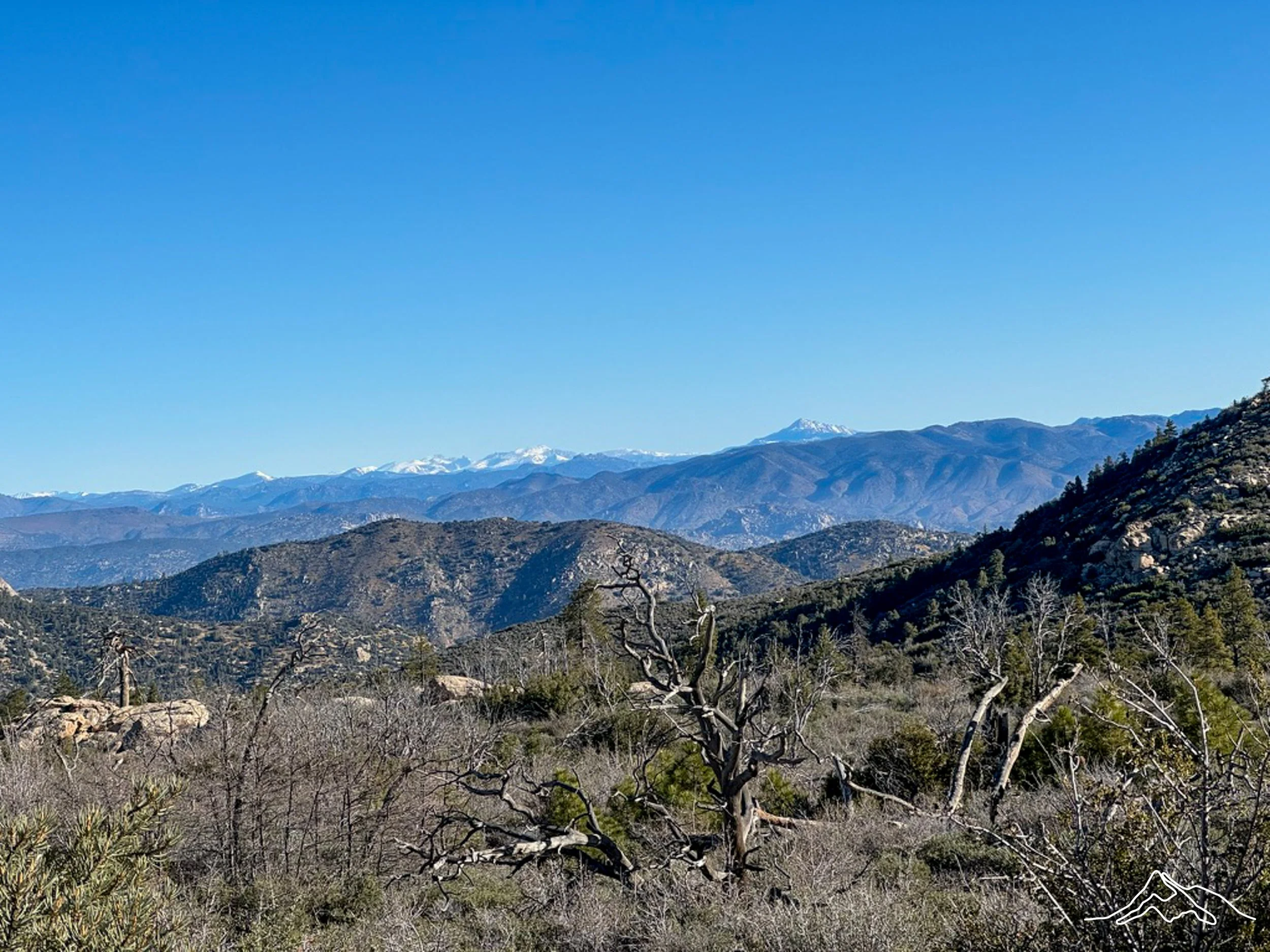
Enjoy these photographs from the PCT CA Section F!
xoxo Leeann