Appalachian Trail Hike: Connecticut & Massachusetts - Mile 1461-1604
Appalachian Trail Hike: Connecticut & Massachusetts - Mile 1461-1604
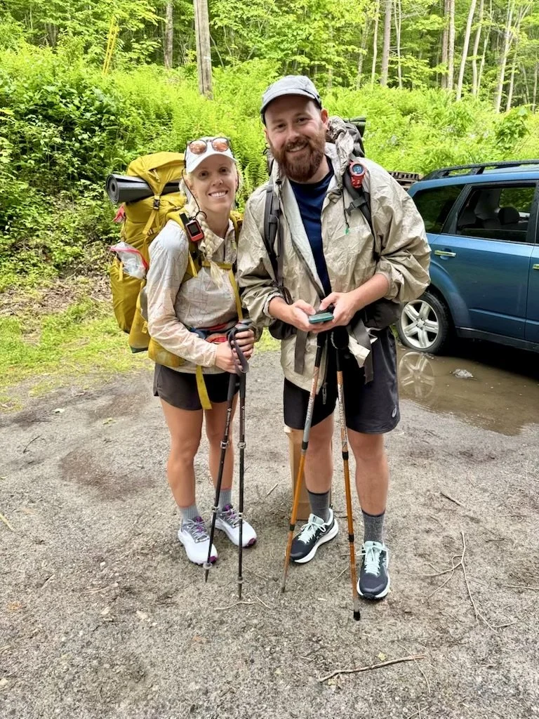
Hello all! Connecticut and Massachusetts were short mileage states with it only taking 5 days total to cover them both. These states are the sincere transition period from the Mid-Atlantic to the Northeast. Though this section was short, it meant a lot.
Appalachian Trail Hike: Connecticut & Massachusetts Summary
Statistics:
Days: 5
Full hiking days: 5
Zeroes: 0
Neros: 0
Total Trail Miles Hiked: 126.9
Total Elevation Gain: 26,117 ft
Total Elevation Loss: 24,215 ft
Highlights:
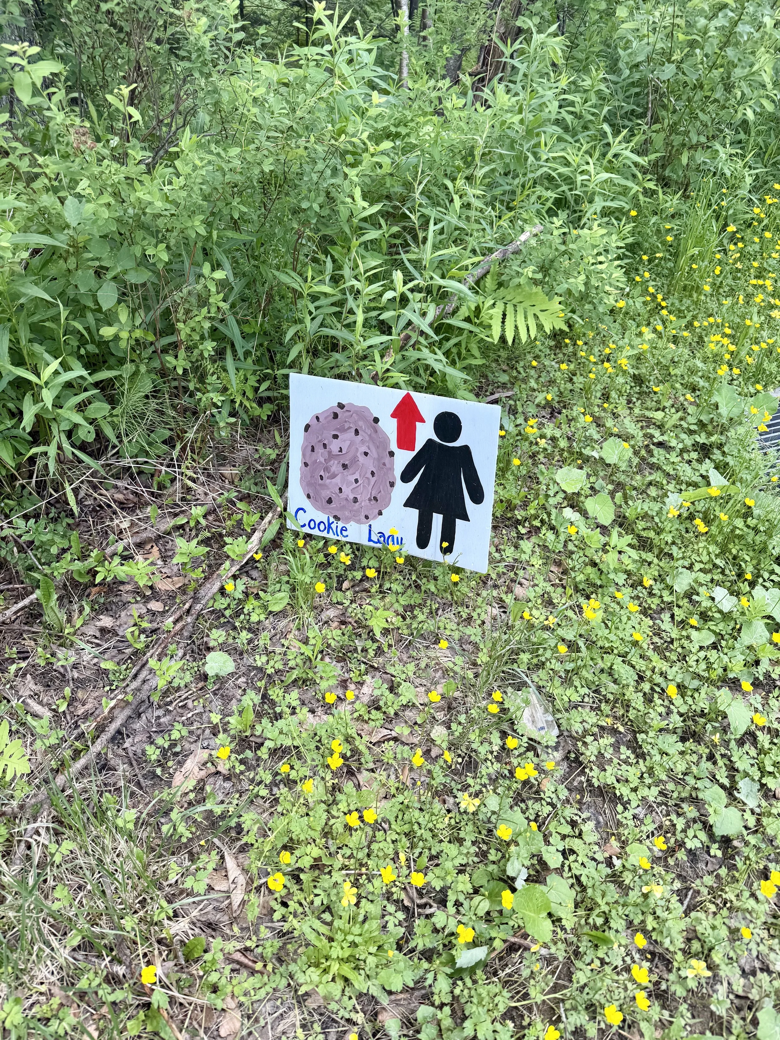
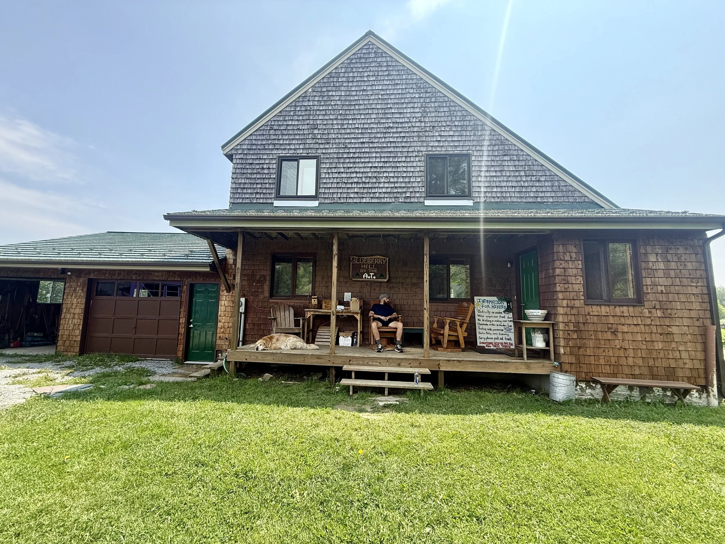
Upper Goose Pond cabin and the Cookie Lady!
Increased bravery regarding snakes.
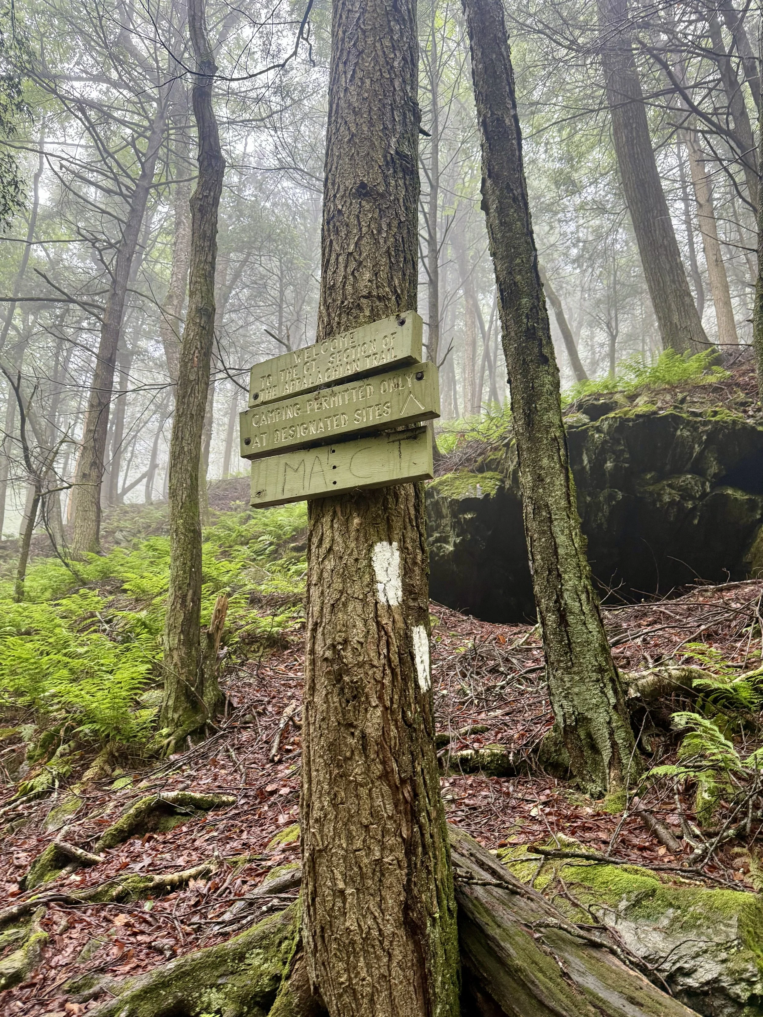
Crossing into Massachusetts then… into Vermont?
Lowlights:
Being completely sick with a fever while on the trail.
Crossing into Vermont while fevered and not being able to appreciate it as much as I would have liked.
Increased elevation gain and loss as an indication of what is to come in the Northeast.
Appalachian Trail Hike: Connecticut & Massachusetts Detailed Version
Day 70: Mile 1480.4 - 1510.5
Trail Daily Miles: 30.1
Elevation Gain: 6483 ft
Elevation Loss: 5260 ft
Weather: Sun, Cool, Rain
Overall Day Sentiment: Rollercoaster, rattlesnake, and rain
It was going to be a long day with much elevation gain, so I got started early. The first few miles George and I hiked together along the river before the inclines began. This gave me the wrong impression of what the remainder of the day would look like. The following section gave me feelings of being back in Northern Virginia on the rollercoaster section. Steep ups and steep downs with little views to be had at the top.
Eventually I caught back up to George where we had lunch with a peek-a-boo view. Soon after we set out, he had his first big tumble of the trail directly on to the rock. As it had been raining on and off for the past several weeks, many rocks were still slick as the lichen and moss held on to the moisture. As it would turn out, this fall would give him a hilarious bruise with the shading of the exact rock. Looked like a charcoal sketch of the topography of this specific rock!
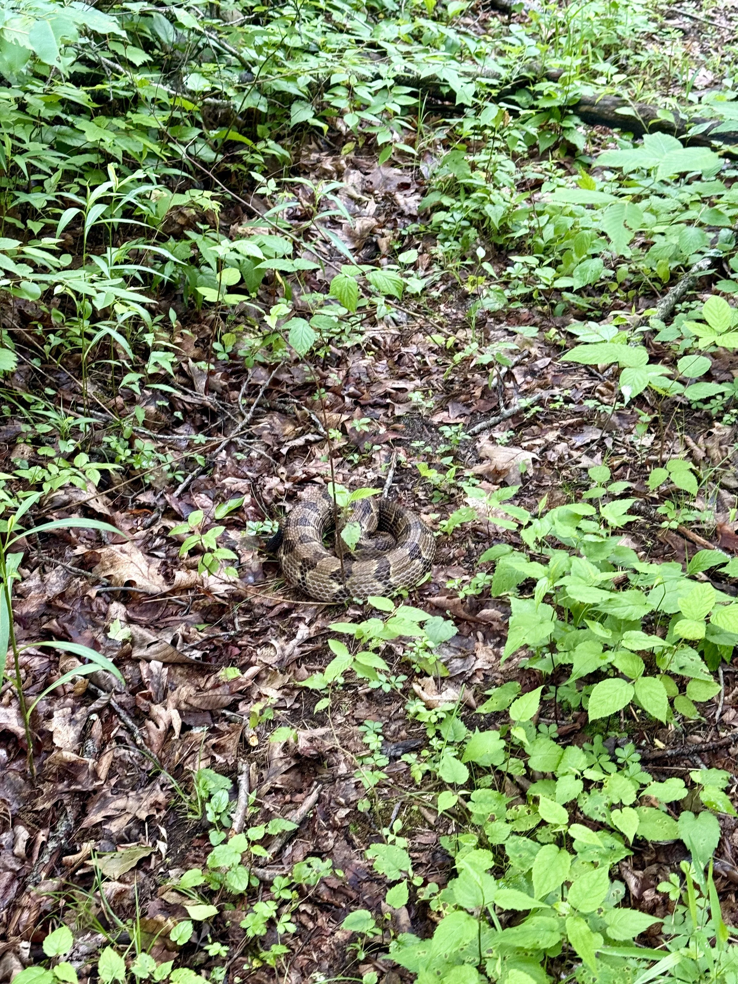
I’m happy we continued to hike together for this next bit as we stumbled across a giant rattlesnake. Pennsylvania rocks are known for having loads of them, but we got through before the sincere heat had set in - so it had been some time since we saw one. Because it was only about 65 degrees at this time, the rattlesnake could not move. It was balled up, rattling at us, and puffing up; but was unable to slither away. As snakes were my biggest fear on the Pacific Crest Trail and I was now rolling rocks or trying to slide the snake off the trail with a stick - I would call that growth. After much effort, we just held down the snake for each other with a stick as we gave it as wide of berth as possible with the thick flora around us.
Later that day, we landed in Salisbury, CT where we got snacks at a grocery store. The rain had picked up again, so in true hiker trash fashion, we were eating our spoils under the grocery store entrance awnings. The reactions to our presence were varied from “Oh my gosh, why are they sitting there?” To “Wow you all started in Georgia?!”. One kind man gave us a ride back to the trailhead to save some off trail miles.
We went to a shelter in hopes of tucking in there to avoid setting up in the rain, but there were several folks already there. Tents in the rain it was!
Day 71: Mile 1510.5 - 1528
Trail Daily Miles: 17.5
Elevation Gain: 5582 ft
Elevation Loss: 7151 ft
Weather: Rain, Humid, Thunderstorm
Overall Day Sentiment: Chores eat into my relaxation time!
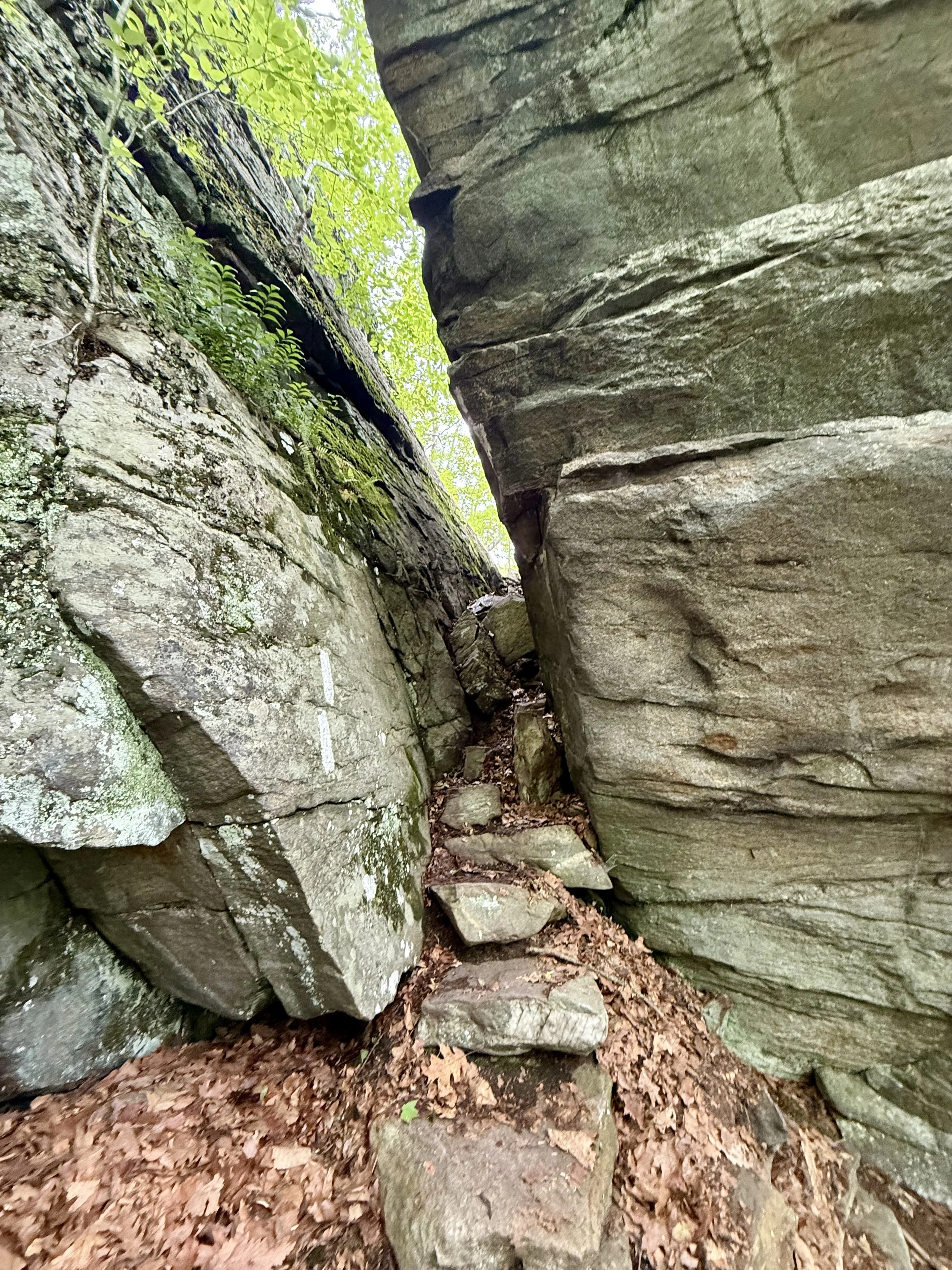
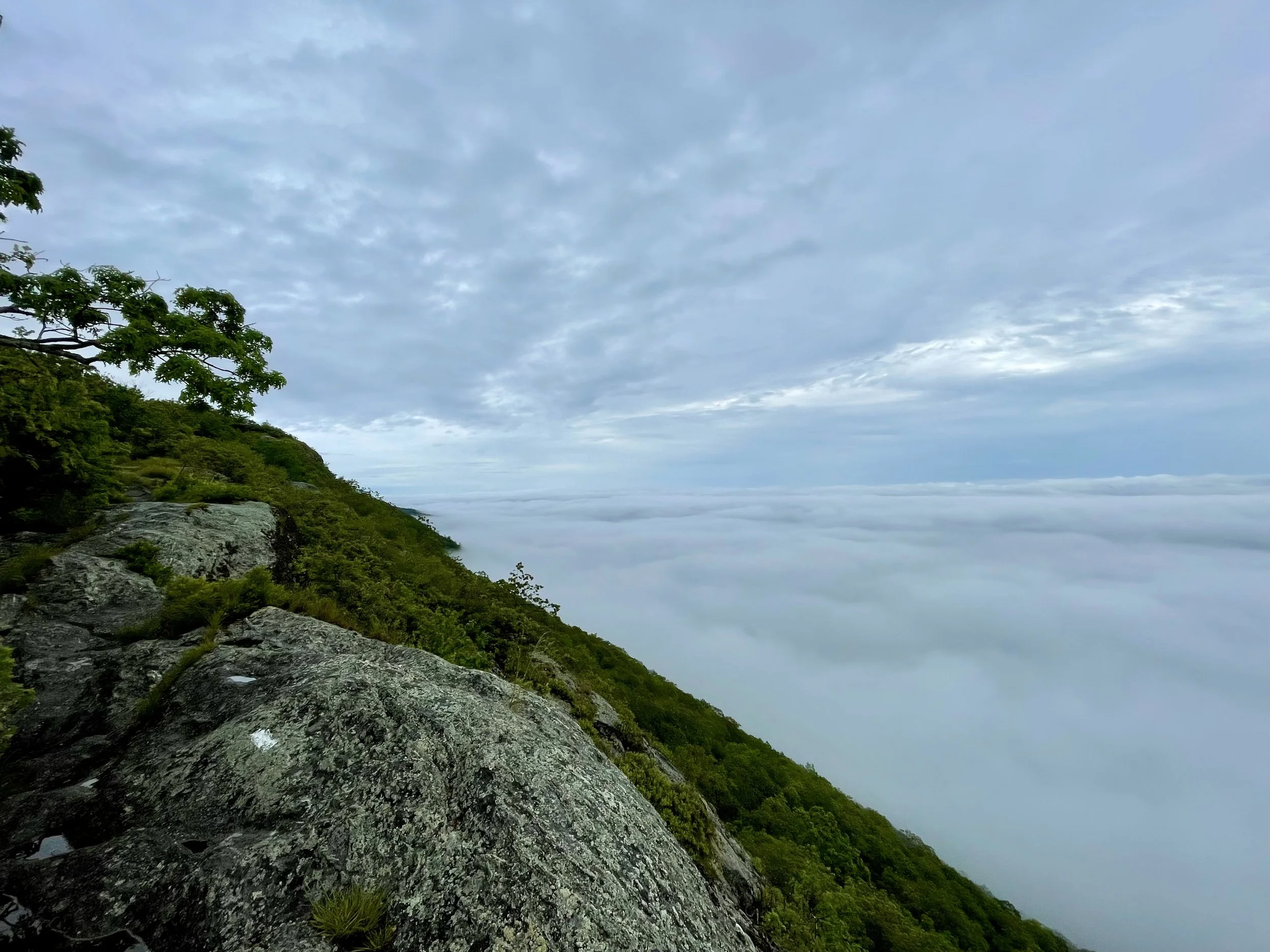
It drizzled rain throughout the evening but subsided a bit for while I packed up camp. The first major climb of the day was up Bear Mountain (yes, there are more than one of these along the trail!) and this climb was fine - but the descent? The rain had picked up just as I had gotten to the exposed ridge walk and was completely socked in with clouds. The descent in the pouring rain was something… special. There were several moments that I stopped hiking, looked down at a 6 foot drop off, and thought… how? I had to take off my pack a few times and climb down in a more agile way.
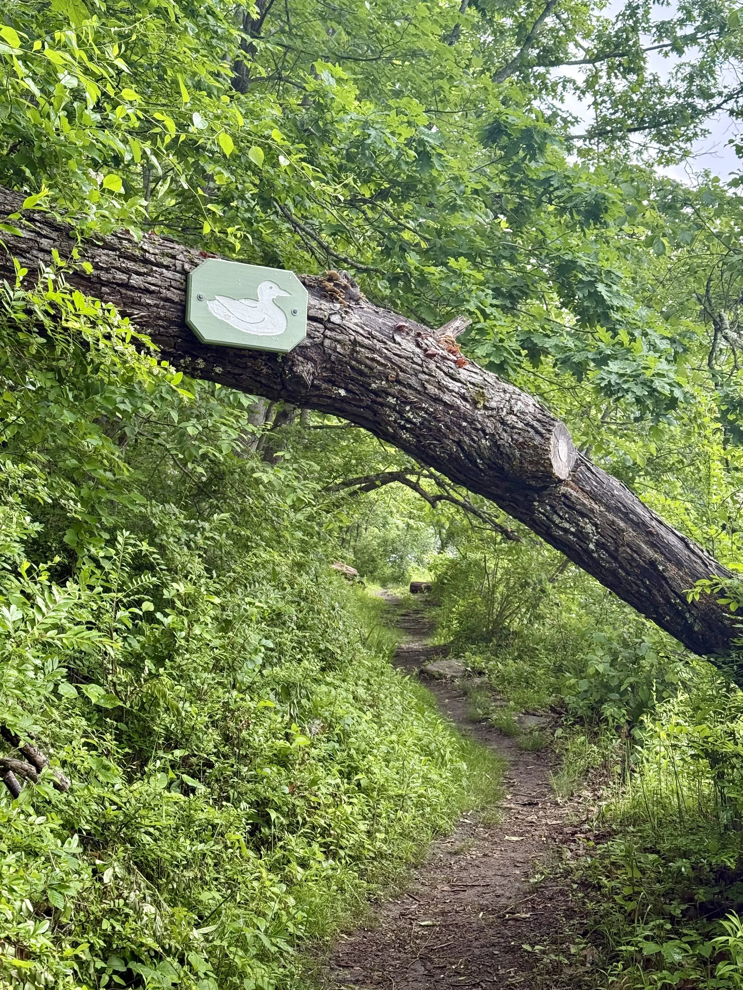
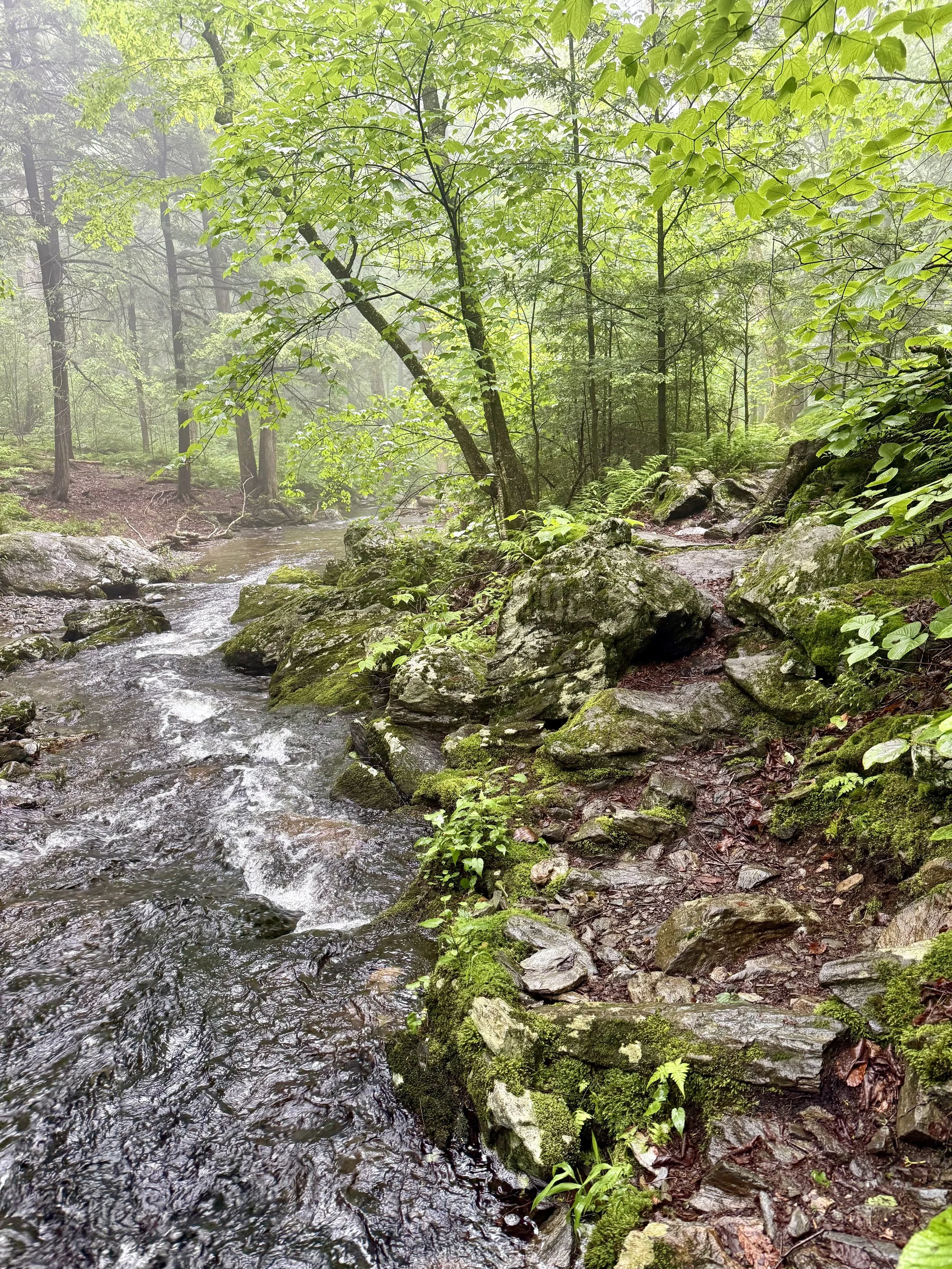
Much more of the day was a slog with few big highlights except for crossing the state line into Massachusetts! The trail wove along a river then into wide open fields.
Once I got to the road, I was able to get a hitch into Great Barrington, Massachusetts. George had gone much faster than I and had been in town for a few hours. I arrived after 4:00pm and had chores to do in the evening. A quick resupply started it off and then it was on to laundry at the laundromat. While my clothes were being washed, I grabbed dinner in my full rain gear. Unfortunately while I was at dinner, it started pouring rain. I had to wait an extra 30 minutes in the laundromat to make the walk back to the hotel as the walk would have rendered the entire dry cycle useless.
After getting back to the hotel at 9:15pm with a wake up of 6:30am - town stops are not always relaxing.
Day 72: Mile 1528 - 1555.7
Trail Daily Miles: 27.7
Elevation Gain: 5870 ft
Elevation Loss: 5012 ft
Weather: Sun, Hot, Bugs
Overall Day Sentiment: A sunset canoe trip was a dream.
The morning after a too short of rest in Great Barrington, I was back on the trail. It was a full day in Massachusetts with no painful inclines or descents. Everything was metered and relatively short.
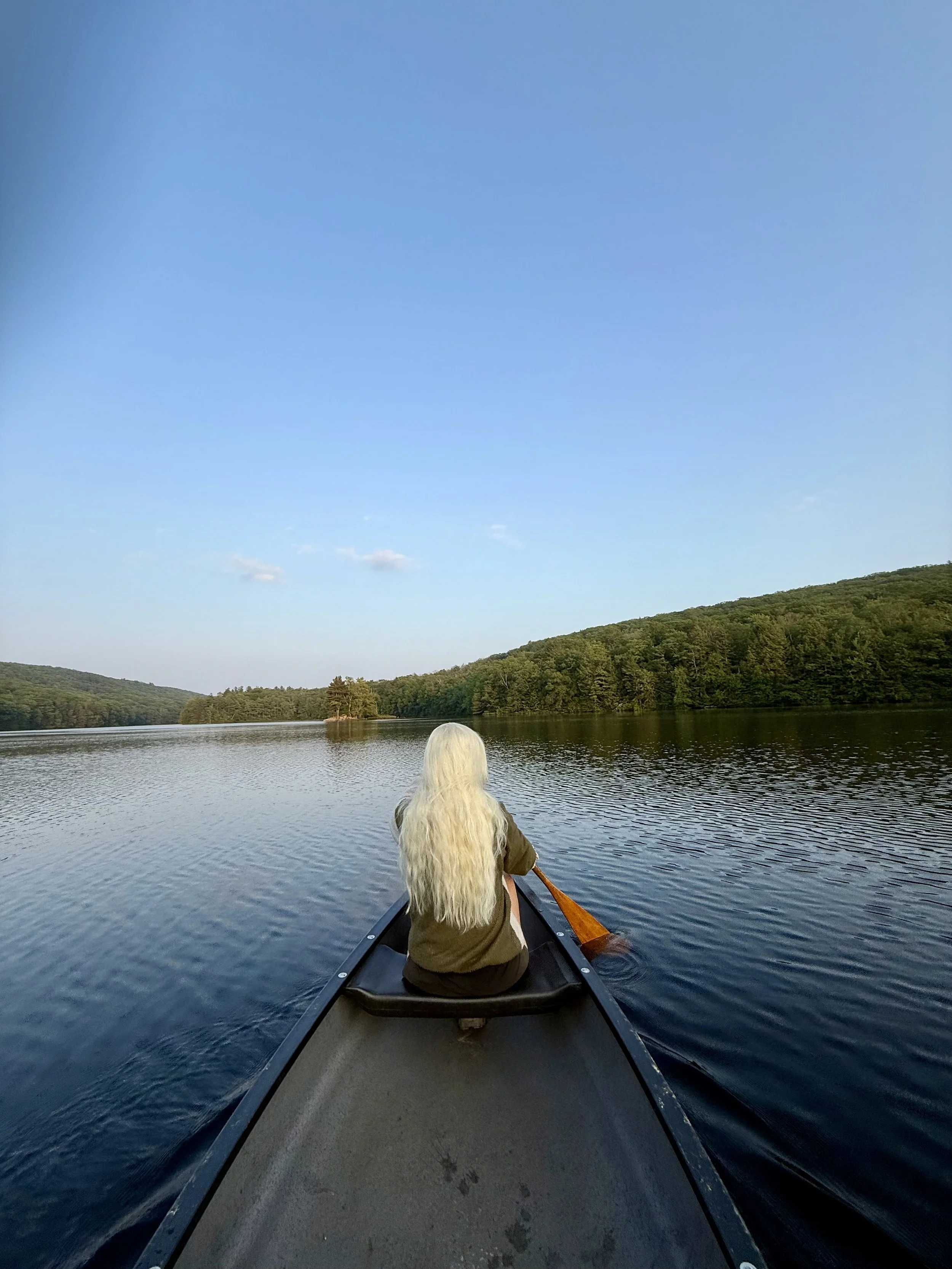
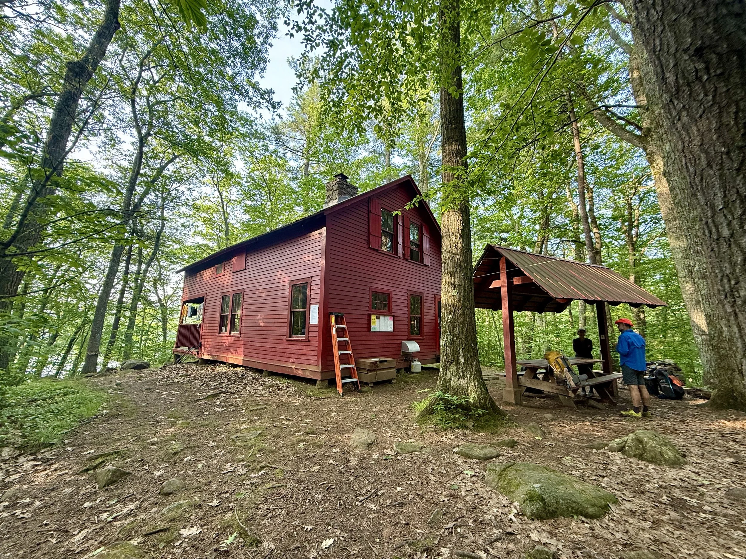
The end goal for the day was Upper Goose Pond shelter, which was actually a full cabin! There were two shelter hosts, Sarah and Maggie, who were absolute gems. Because it was a big day of hiking getting out of town, the actual cabin/shelter was full but it had a large tenting area that George and I set up in. There were many folks scattered around everywhere, but by the time I finally sat down for dinner - most everyone was all tucked in.
The highlight of the evening was that this cabin had a canoe that you were able to take out onto the large pond/lake. George and I grabbed the canoe and had a lovely sunset ride with a funny stop at a tiny island. This pond or lake was filled with a variety of different ducks, many fish, and a symphony of frogs. There was of course large birds of prey in the area that were riding the thermals overhead.
After the canoe ride, it was a bit warm that night, so it was tough to fall asleep.
Day 73: Mile 1555.7 - 1585.1
Trail Daily Miles Hiked: 29.4
Elevation Gain: 4674 ft
Elevation Loss: 5239 ft
Weather: Sun, Hot
Overall Day Sentiment: Thankful to great resources along the way.
The two cabin hosts made breakfast for everyone in the morning consisting of pancakes. Alas, I am gluten-free, so they were too sweet and made me some eggs in addition to fruit. I got chatting with them for too long and I left camp a little bit later than I had hoped but when you meet lovely people, it is always worth the time to connect with them.
Only a few miles down the road was another trail staple. The Cookie Lady was near here and it was an exciting milestone to reach. I hiked up and George was already there on the porch with three yellow labs dogs - including a puppy yellow lab that was just too cute and energetic! We had some juice while relaxing on the porch while George ate some cookies as well and then we headed out again. I’m so thankful for parts of the trail community that serve hikers year over here.
The rest of this day was literally up-and-down. I knew I had to make miles to get into Cheshire and so I threw on some good podcasts and just chugged along. None of the climbs or descents were particularly difficult, which meant the miles came a bit faster.
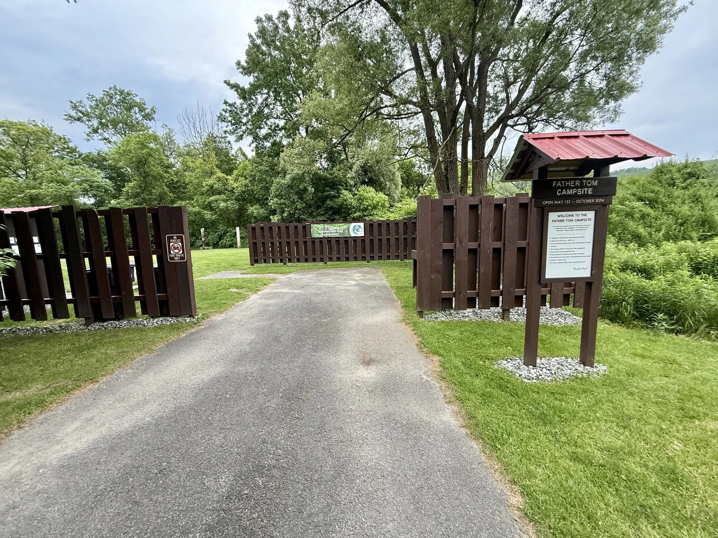
In Cheshire, there is a small campground for hikers that is run by the town. There are large grassy open sites, picnic tables, charging stations, potable water, and sinks for handwashing and dishwashing. We ran into some other hikers and a neighbor who we chatted with for sometime.
Because I was officially under a month for my 100 day goal, George and I sat down and looked at my spreadsheets and the mileage per day for the remainder of the trail. Because we had been plugging away bigger miles the past couple weeks, I was completely on schedule. It felt like a relief to have a plan for what the rest of the trail looks like, and the mileage seemed reasonable based on what I had been doing.
Day 74: Mile 1585.1 - 1606.8
Trail Daily Miles Hiked: 21.7
Elevation Gain: 5916 ft
Elevation Loss: 4552 ft
Weather: Sun, Clouds
Overall Day Sentiment: I am SICK.
Despite a great night sleep, I woke up with a sincerely sore throat. Because of the change in weather patterns and perhaps allergies, I wasn’t too concerned. I took some medication to help with the swelling and hiked on. The major marker of the day was getting up Mount Greylock. This climb was no different than any of the other climbs I had been doing the past few weeks, but wow it felt strangely harder.
Once I got to the top, my throat started swelling again. At the beginning of the descent down the mountain, I sat down for a quick rest. My joints started hurting, my throat was getting worse, and my muscles were just exhausted. I texted George, who was literal miles ahead of me, that I was not feeling well and would not be able to go where we had planned to.
Then, my hair began to hurt - oh no. At that moment, I knew I had a fever. Despite the easy-ish terrain, my pace continued to slow down because of how I was feeling. 30 minute miles became 45 minute miles as my legs started to buckle underneath me. I am not new to falling while hiking on these trails, but in this particular case, I could not control any part of this. I took many tumbles while descending and at some point, I was scared to go much further. The pace needed to be that slow because I had no confidence in my leg muscles being able to hold me up.
I eventually get to where George was waiting for me as he decided not to go further either. The rest of the day gets somewhat hazy. There was a university nearby that had a large event and on the weekend therefore finding accommodation ended up being much more difficult than usual. George arranged transportation with a trail angel and got me to a hotel, thankfully. As I have never been sick sick while on a backpacking trip, I don’t know what I would have done without him.
Once I procured a thermometer, it was confirmed that I had a 102.5 fever. No wonder I was feeling terrible! Hiking up and down mountains with a ~25lb backpack with a fever was one of the worst experiences I have ever had. I’m thankful that I was close enough to get into town that night and to find a bed to heal in.
Because I had been so excited the night before with my confirmed 100 day plan still on track, I was nervous what this random fever and sore throat was going to do to the timeline…