Camino de Santiago Frances
INTROThe Camino de Santiago is a network of trails through several European countries, primarily Spain, that all lead to Santiago de Compostela. This is one of the oldest treks around the world and it began as a religious pilgrimage to the St. James Cathedral in Santiago de Compostela. It began as far back as the 10th century and has continued.
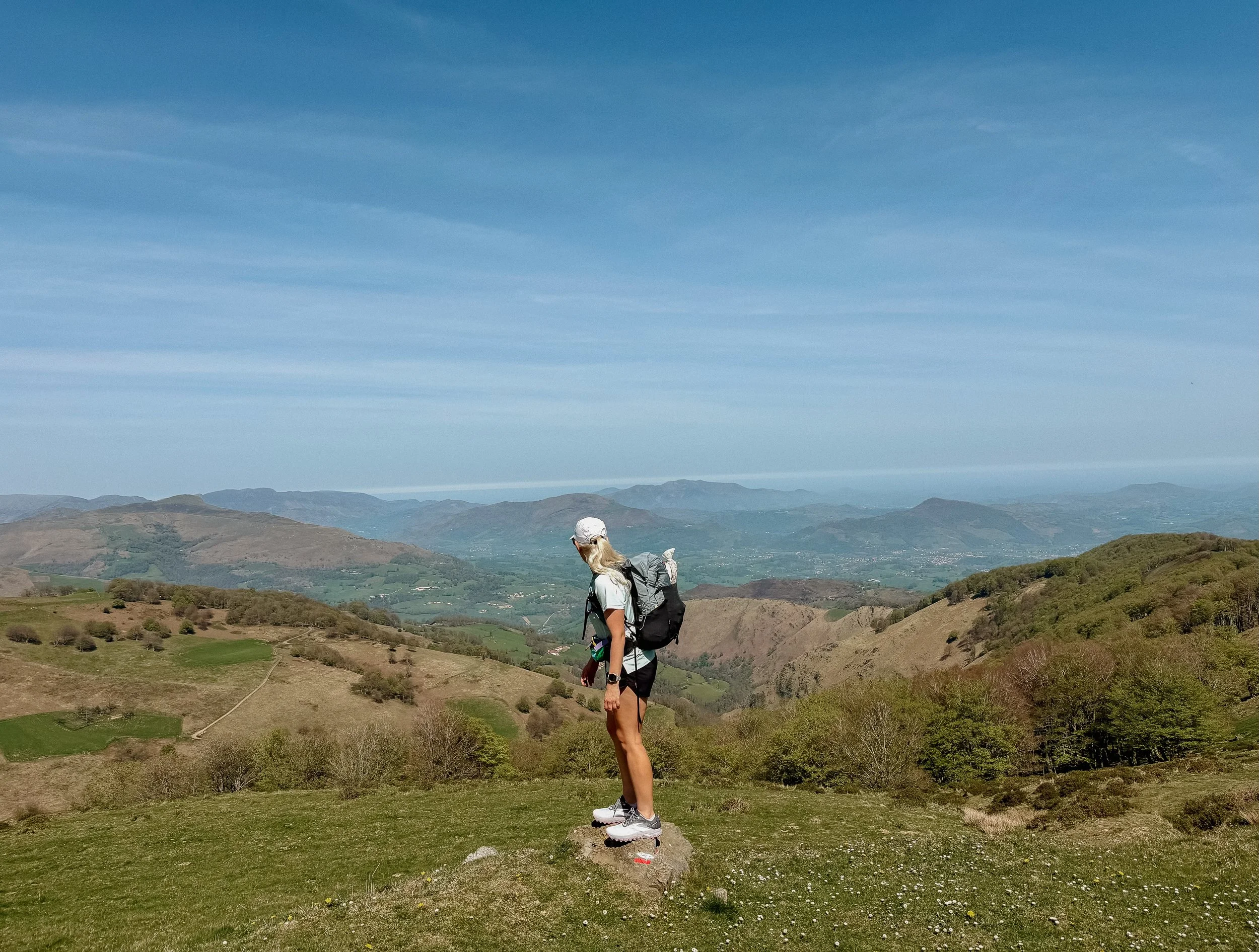
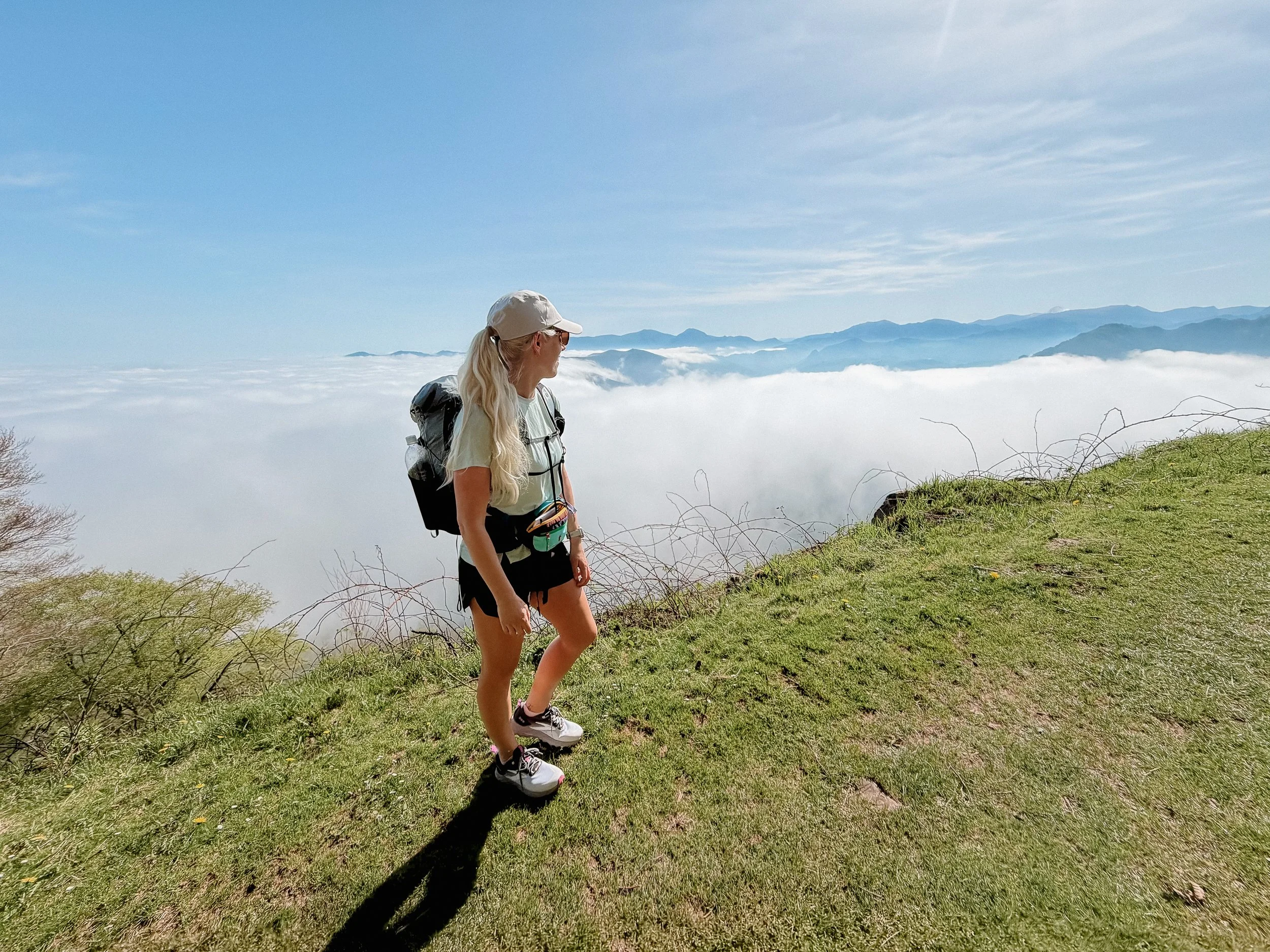
The views over the Pyrenees were gorgeous.
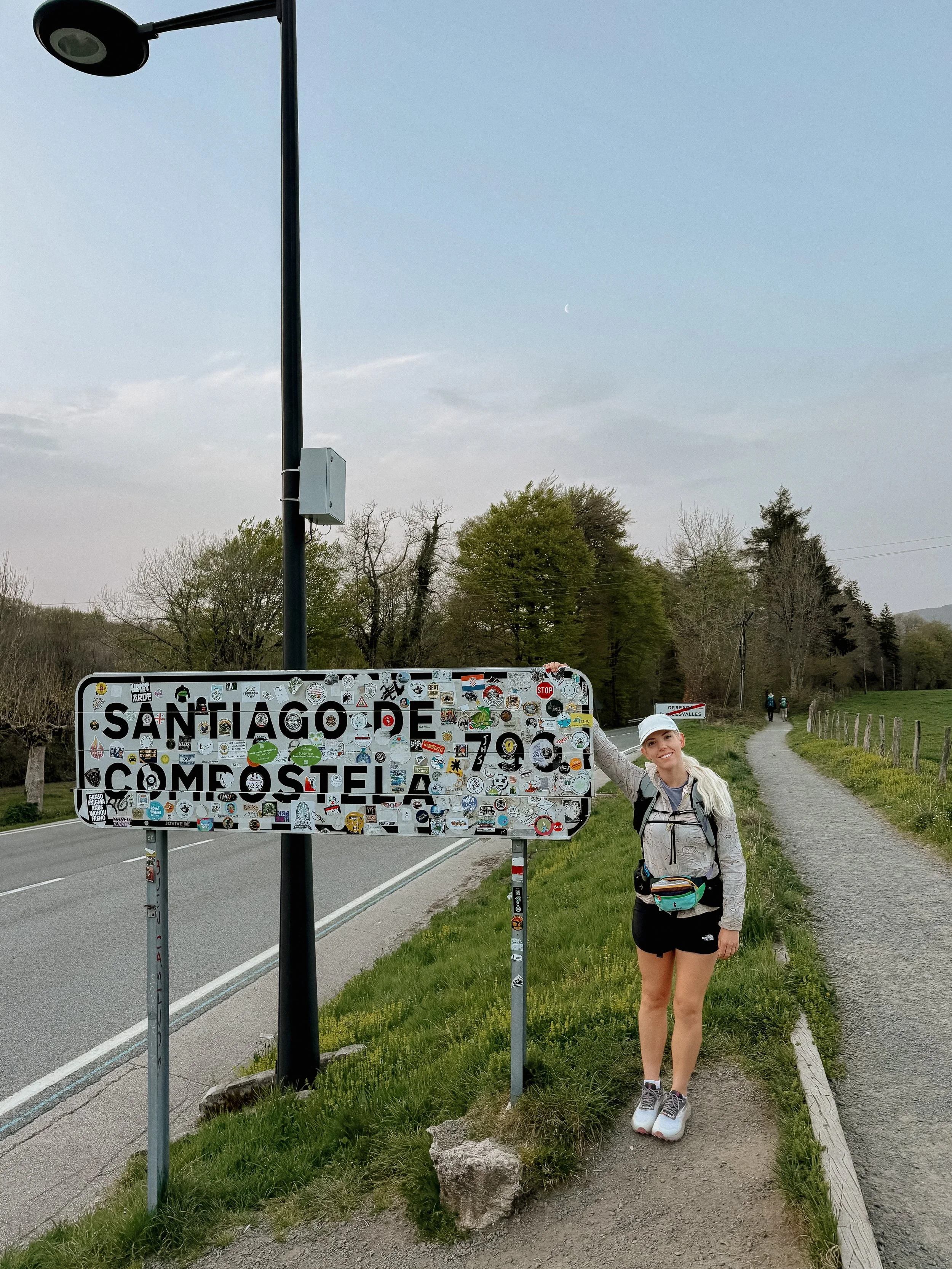
Though there are several routes, with more I learn about every day, the most popular route is the Camino de Santiago Frances – the French route. This is the route that I have begun and it travels nearly 500 miles/800 km from St. Jean Pierre deport in France to Santiago de Compostela Spain. A few of these routes (including Frances) has been denoted as a UNESCO world heritage site.
This is unlike any of the other backpacking I have done. Because this is began as a religious pilgrimage, there are many historical sites and towns along the way. I will be staying in a proper bed every night, taking a shower every day, and enjoying town food along the way. I do not need to carry a tent, sleeping system, a stove, or any other wilderness equipment that I typically carry.
Here are some common vocabulary words or phrases that I will be using:
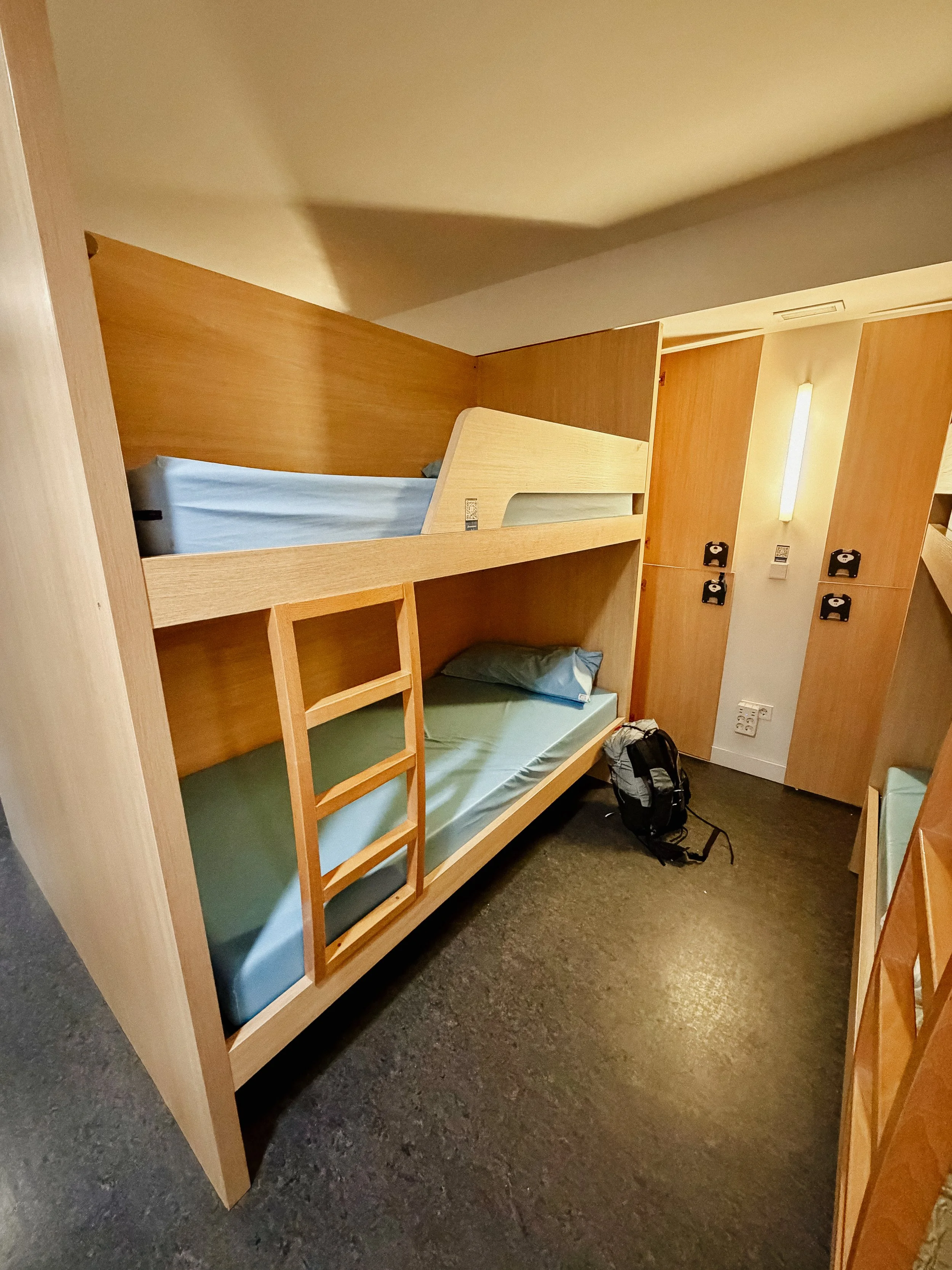
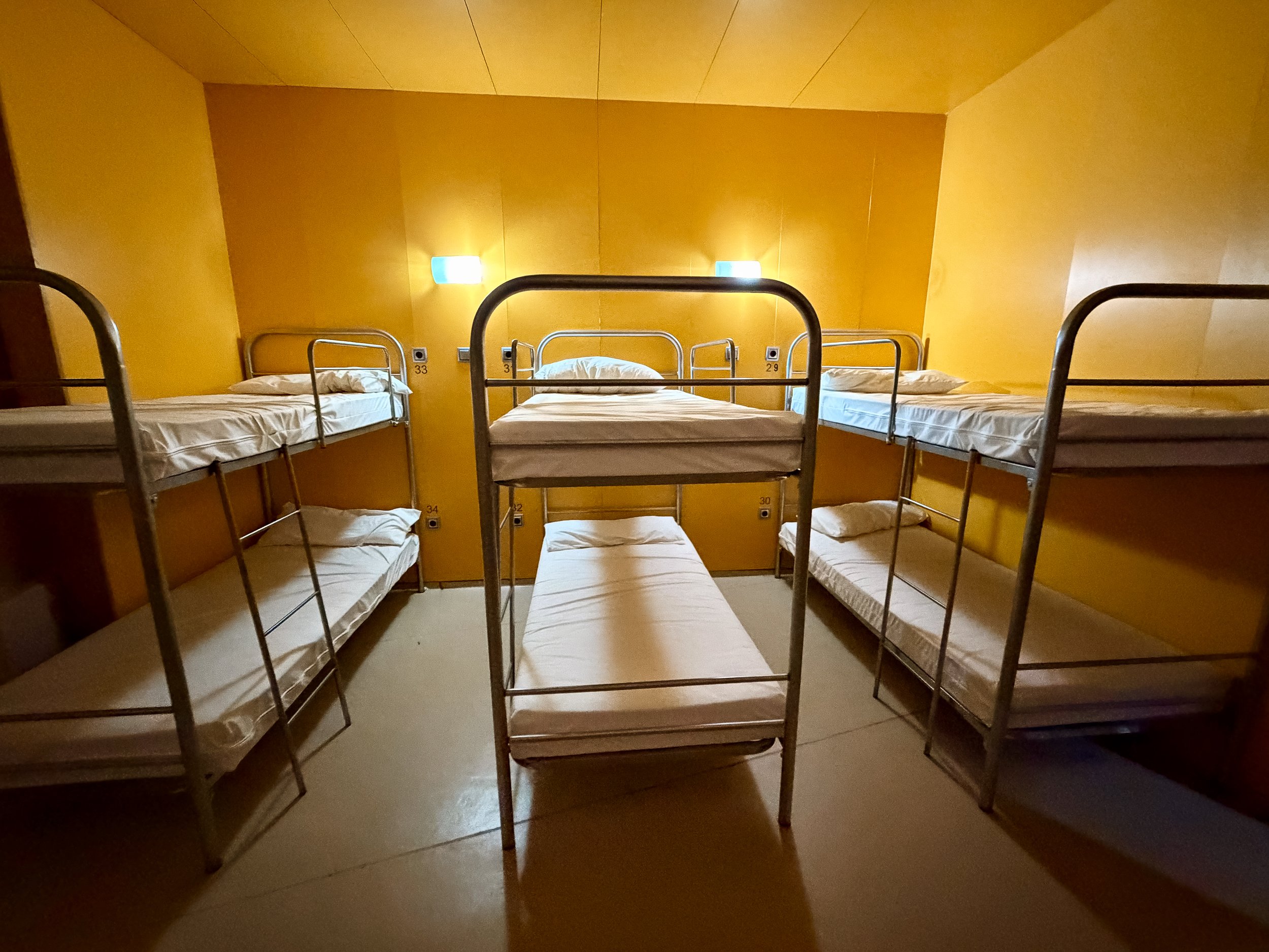
Albergue: accommodation similar to a hostel
Pilgrim: anyone walking the Camino de Santiago
Peregrino: Spanish for Pilgrim
Buen Camino: common greeting for any pilgrim, used between pilgrims and from folks not hiking but sending well wishes
OVERVIEWDAYS3
MILES/kilometers41.6/66.6
TOTAL ELEVATION GAINED7164 ft
TOTAL ELEVATION LOSS6357 ft
-
Beginning the iconic Camino de Santiago Frances
Meeting and connecting with people from many countries
Walking daily in the beautiful Spain
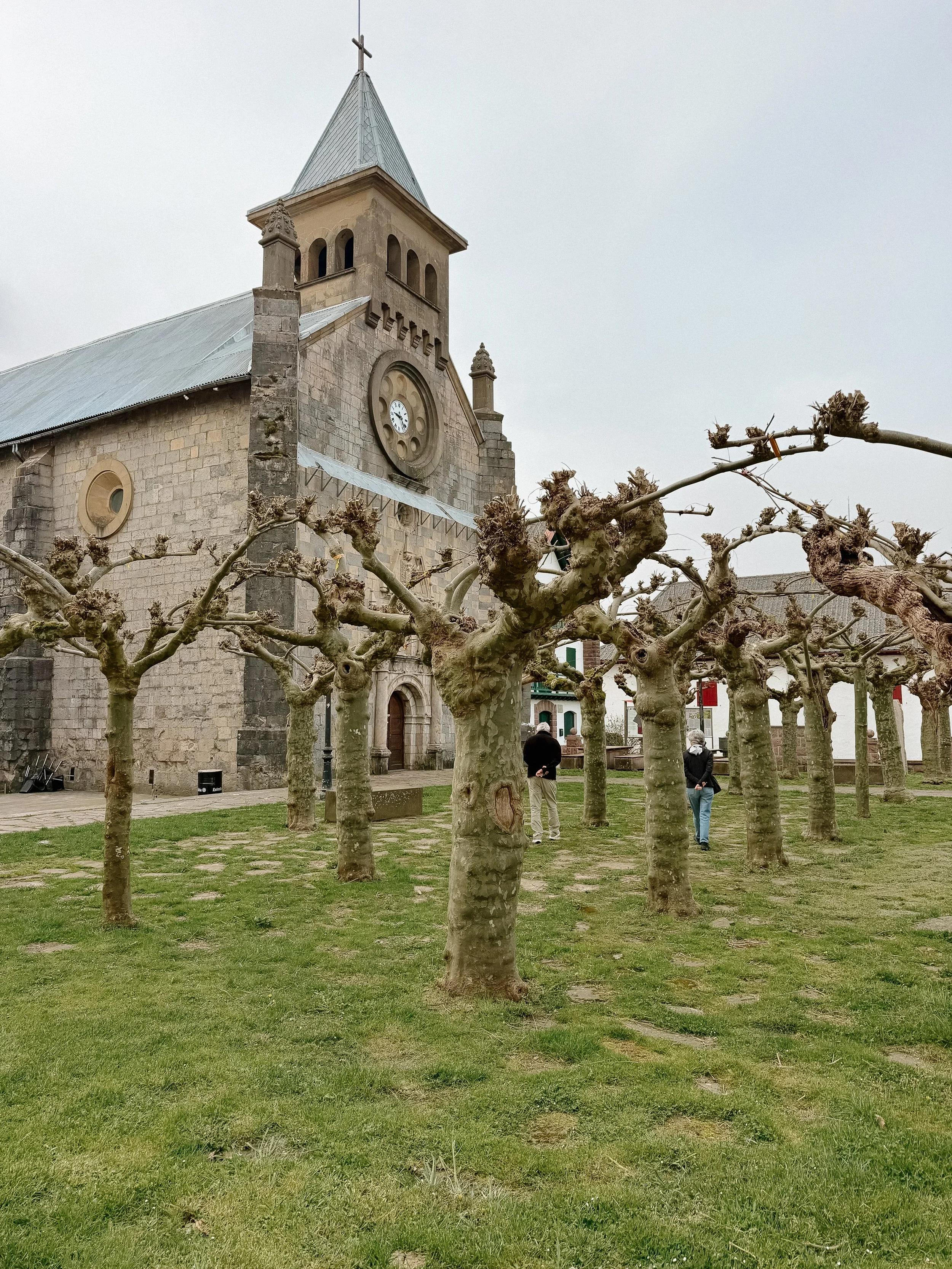
Visiting iconic sites along the route
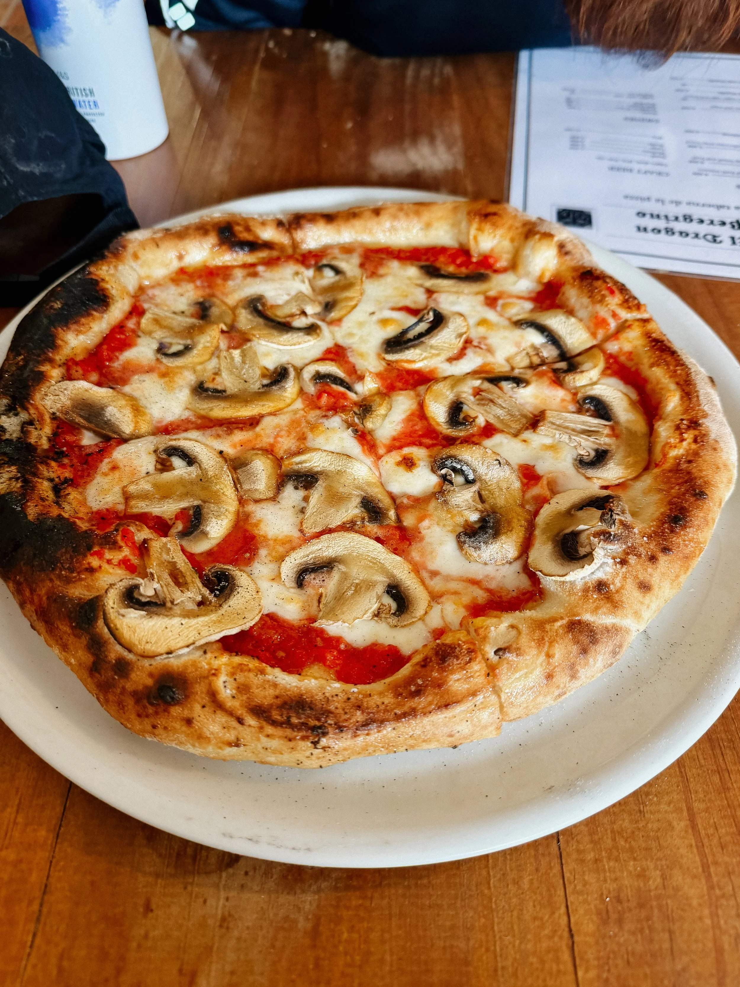
Spanish food
-
Getting settled into a new routine is always difficult
Sleeping arrangements some nights are full of snoring folks
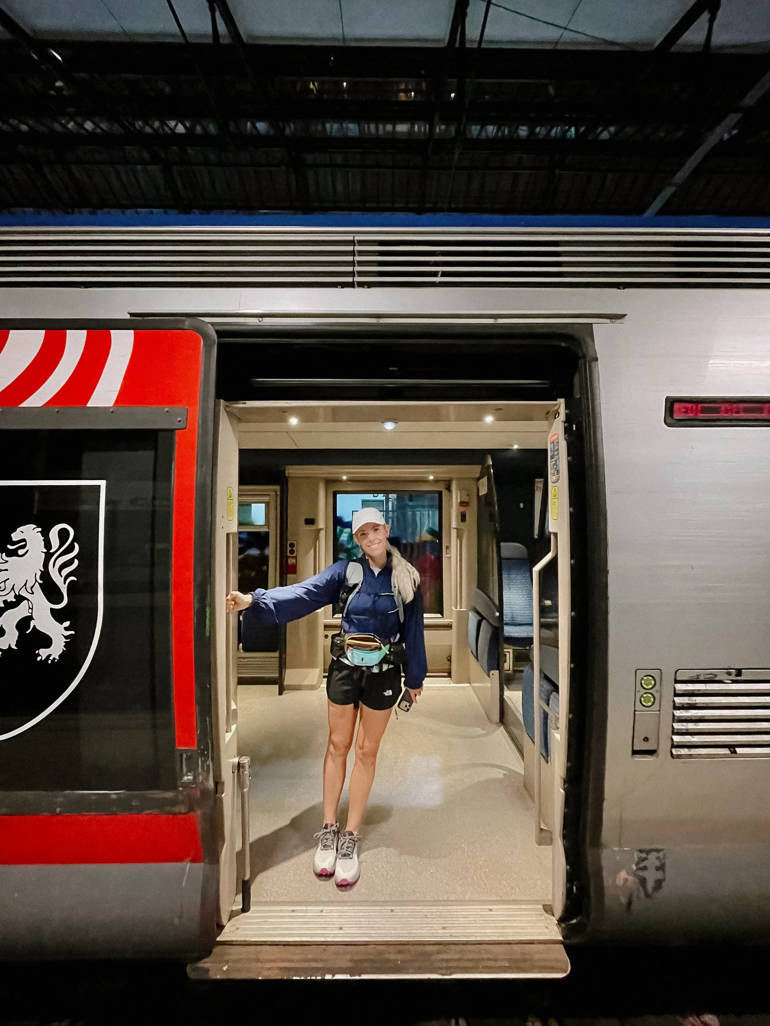
Train in Bayonne, France
In Depth
-
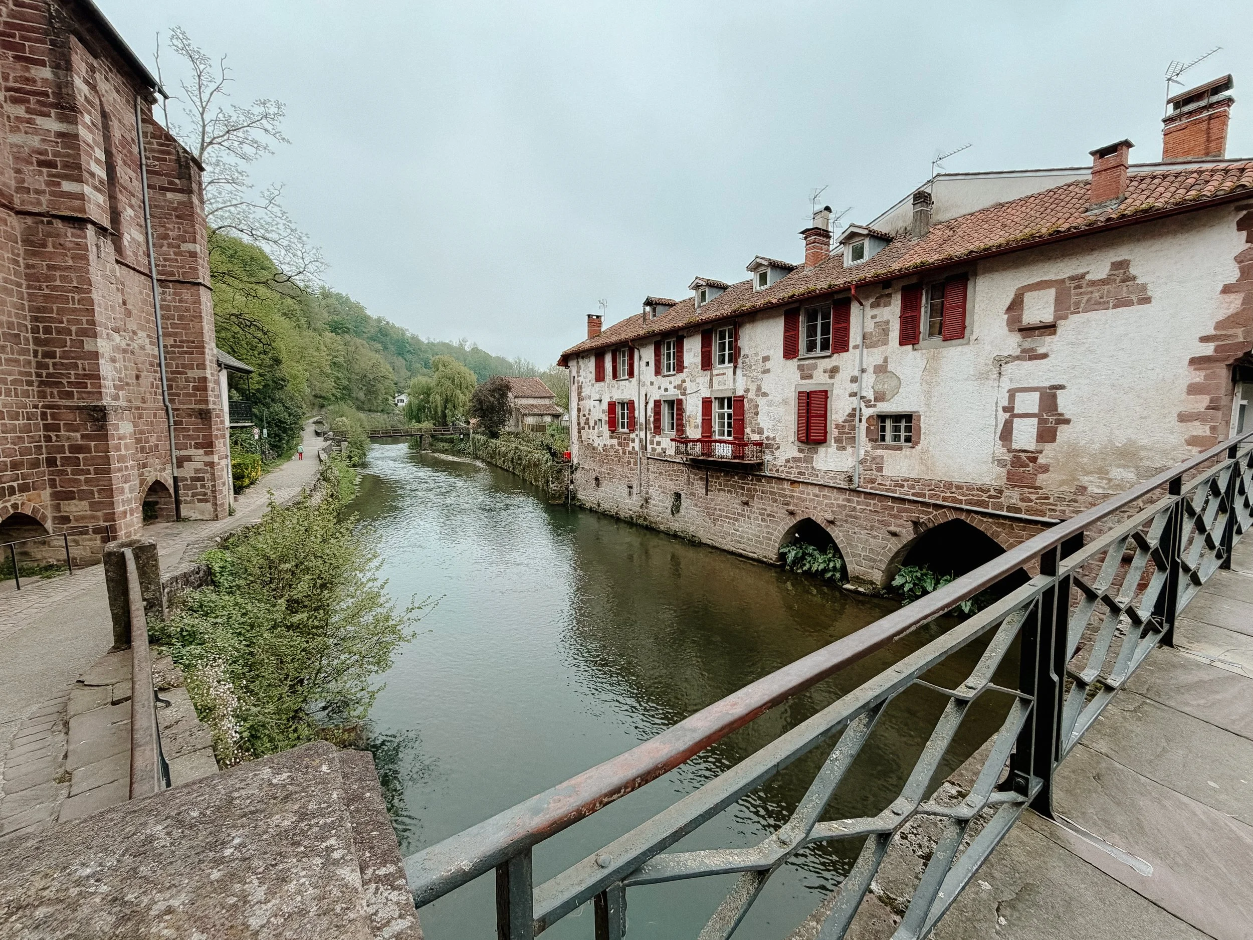
As with any trail, the start is often in a bit of a remote location. I flew into Biarritz, France, which is the closest airport to Saint Jean Pied de Port. It was a late flight so I stayed in Bayonne, France, which is located about a 15 minute drive from the airport. Bayonne has a very convenient train to Saint Jean Pied de Port making this an ideal location!
My Appalachian Trail friend, George, joined me for the first week of this adventure as he had previously completed the Portuguese Route and lives in Europe. Anytime I say “we” in this post, I am referring to him.
-
Distance: 15.3 miles/24.6 kilometers
Elevation Gain: 4649 ft
Elevation Loss: 2169 ft
Accommodation: Albergue de Peregrinos
The train was early in the morning at 6:30am with the ride to Saint Jean Pied de Port slated for just over an hour. The train ride was surprisingly beautiful through the French countryside and gave me a preview of the mountains I would climbing over later in the day.
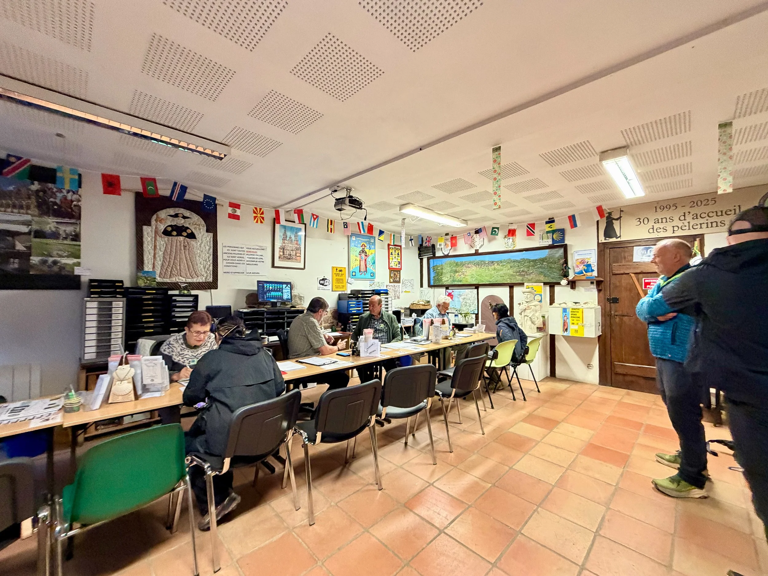
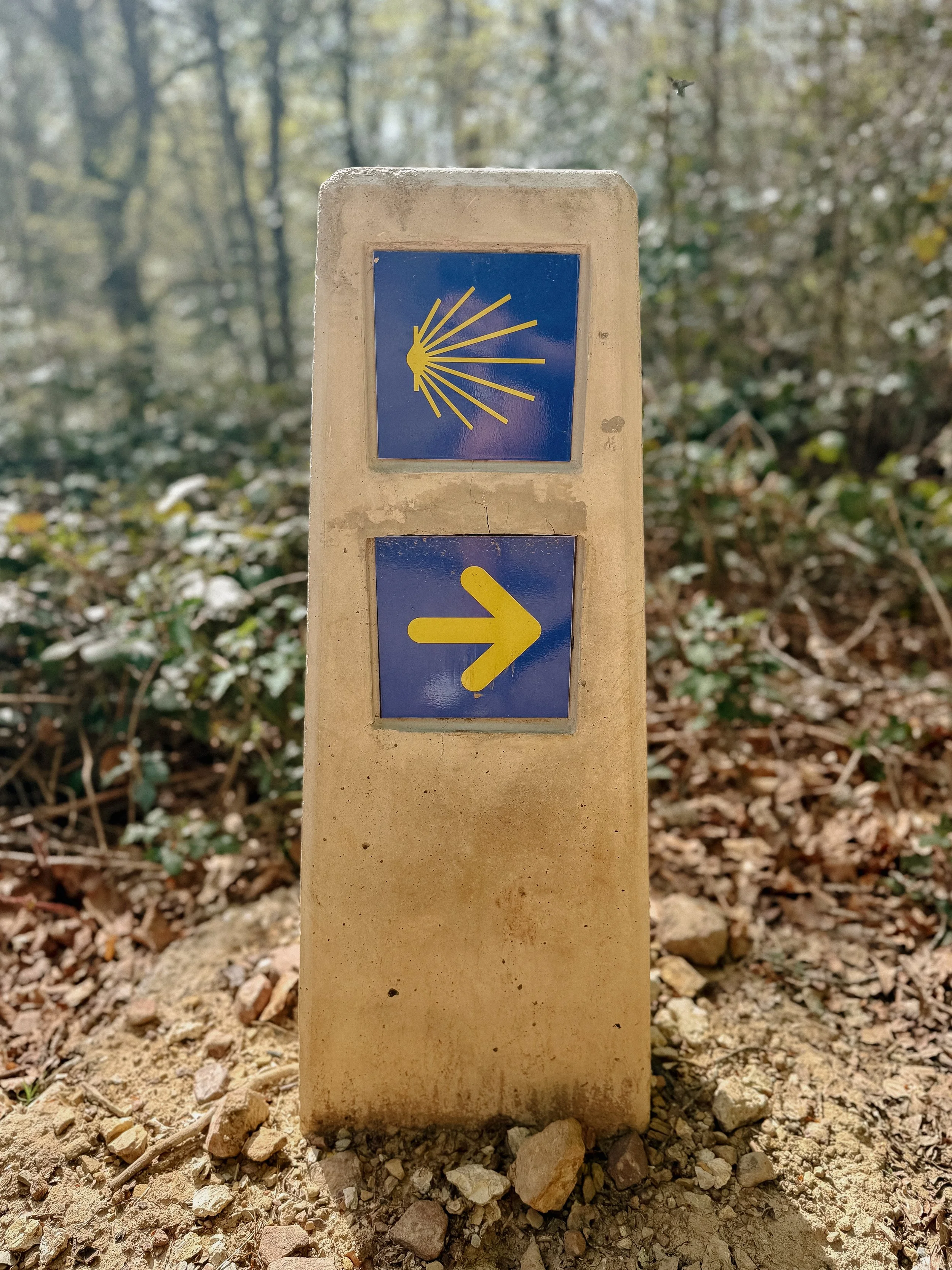
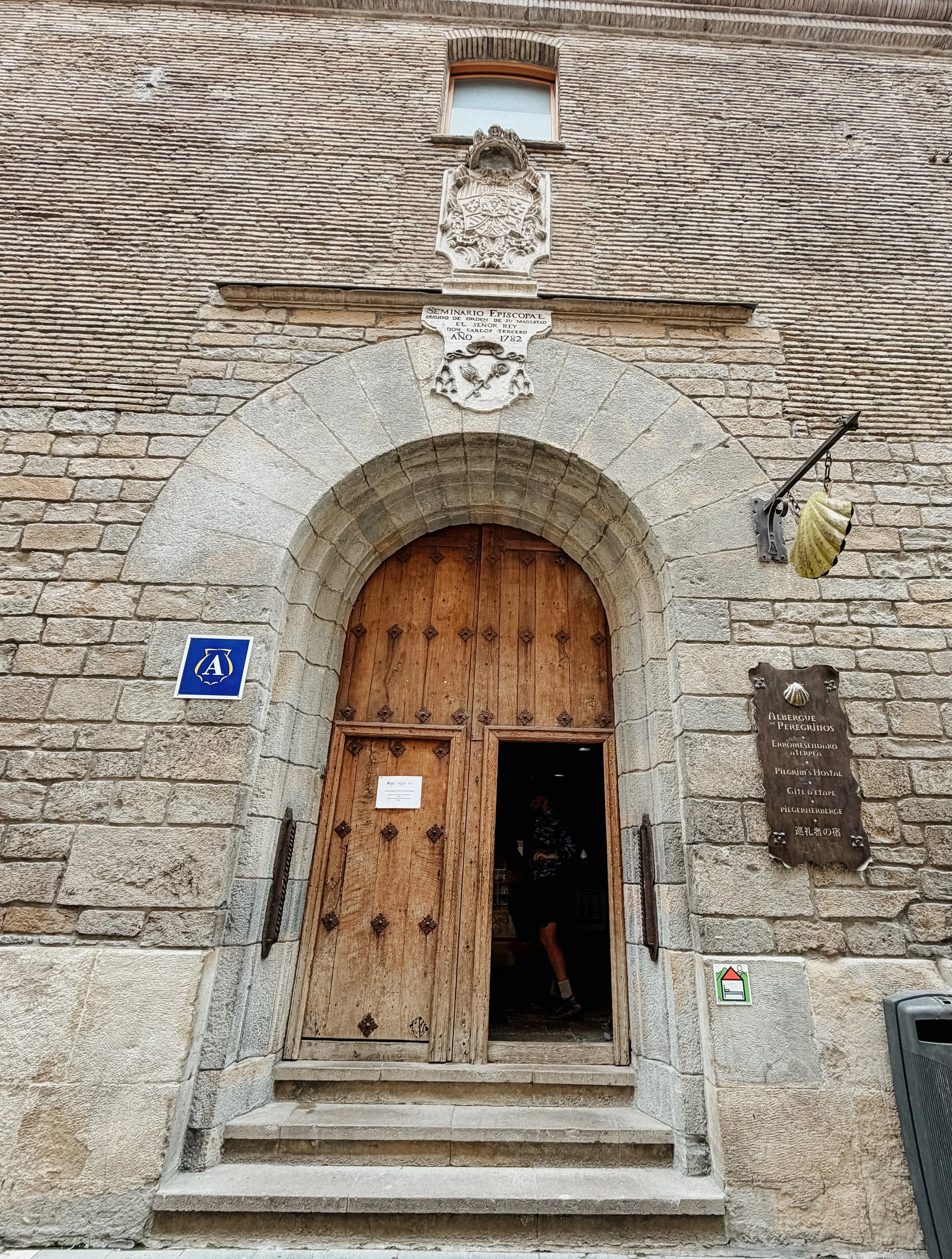
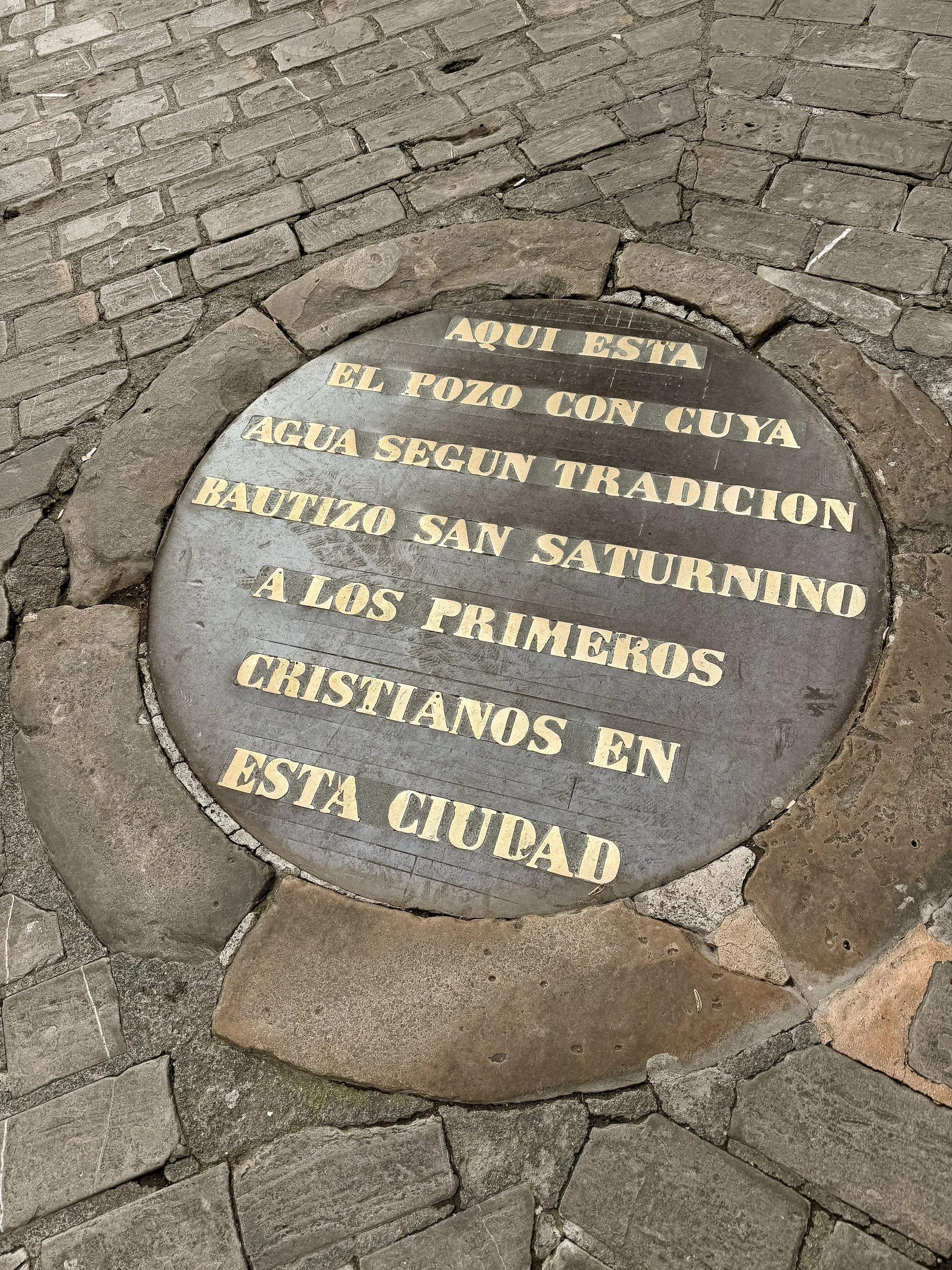
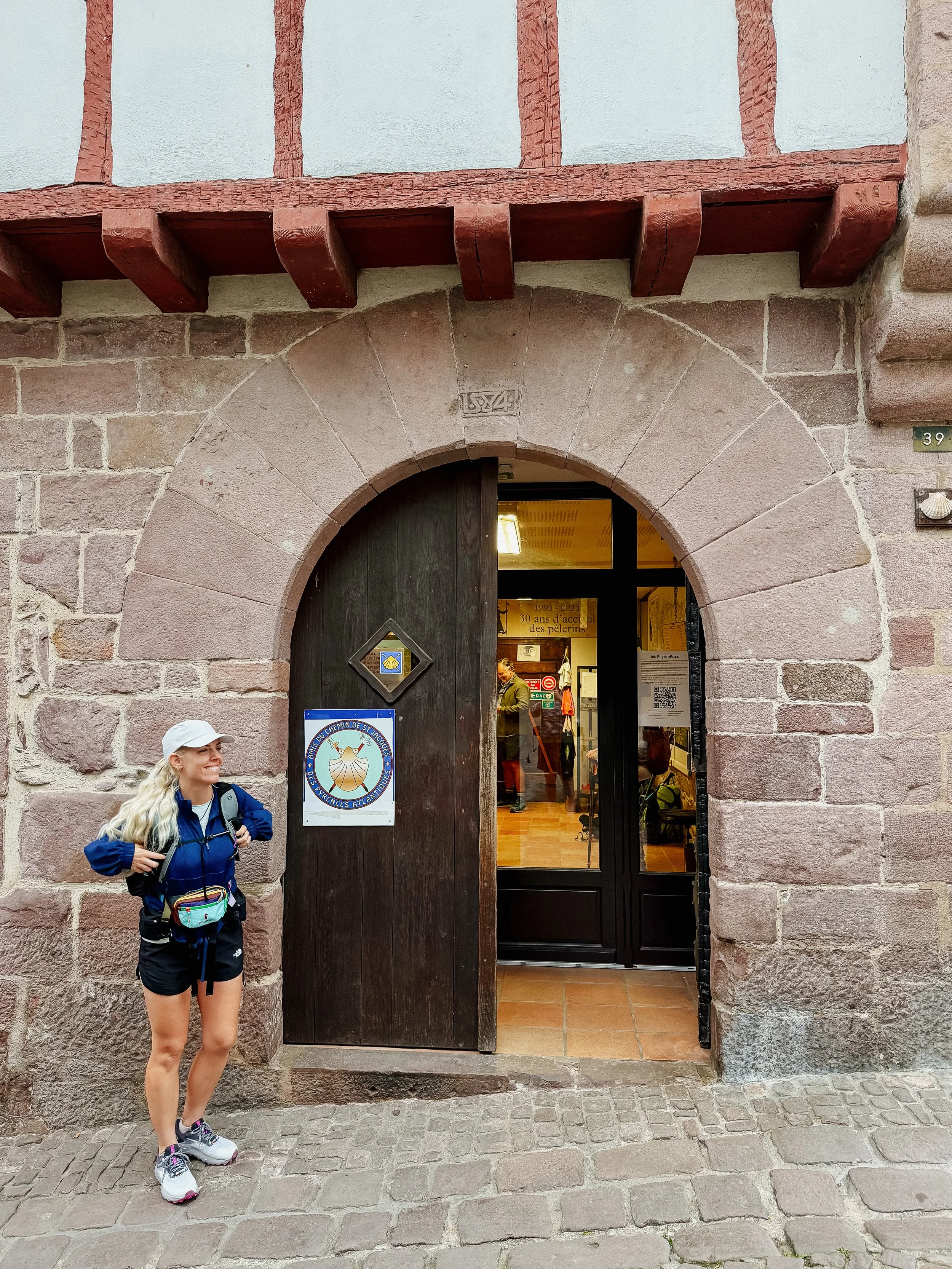
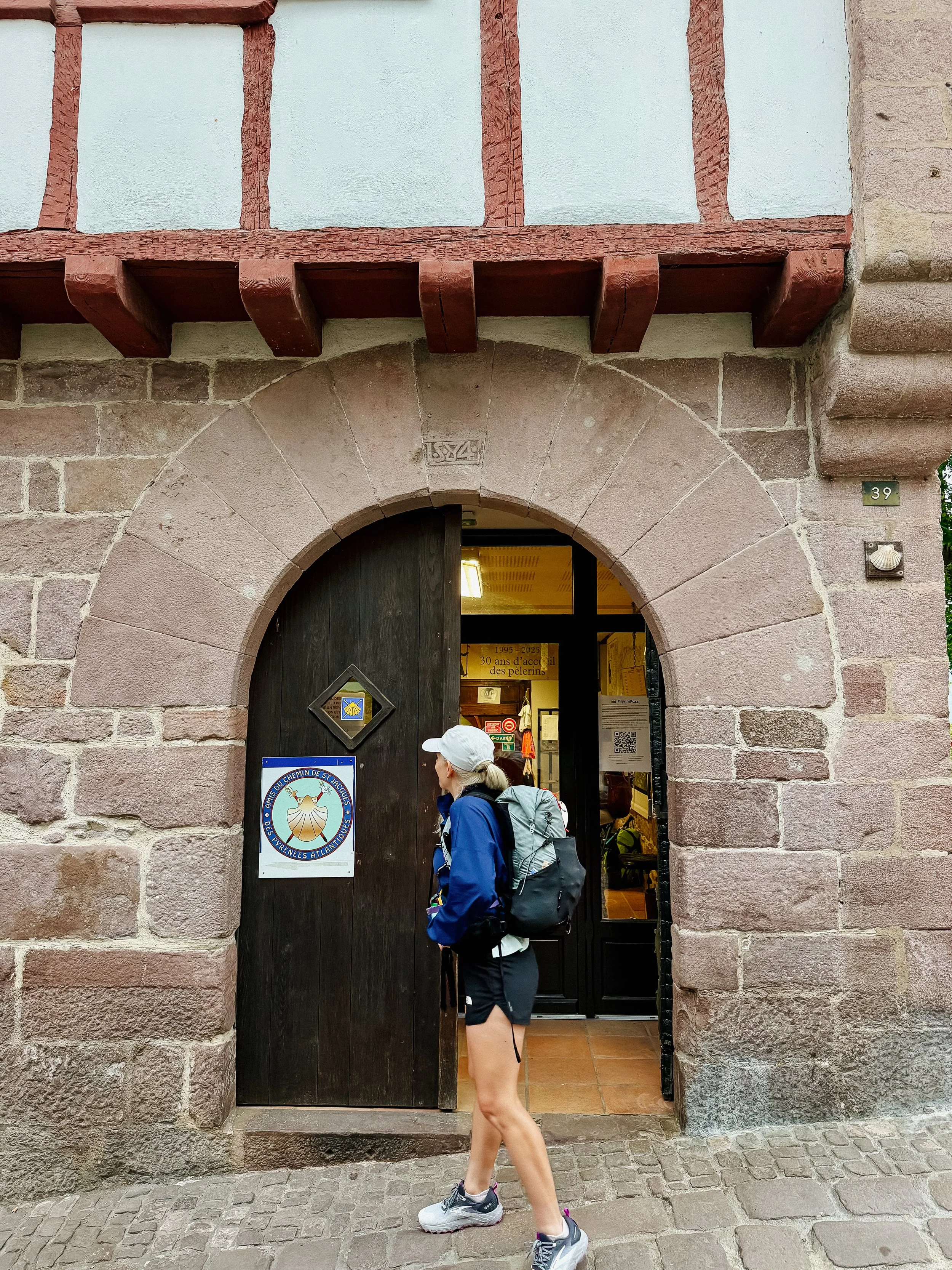
I arrived and began to see many other Camino walkers or pilgrims/peregrinos. There is a main Camino de Santiago office that you must register in and then they give you your pilgrim passport. This pilgrim passport is what you documentation that you will use at every accommodation and upon arrival into Santiago de Compestela to demonstrate that you have covered the minimum amount of kilometers or miles to be awarded a certificate. Along the way you get stamps from either the albergues, restaurants, or historical sites along the way.
The volunteers within the Camino office were warning us about the impending weather the following days. Because this section is relatively high elevation, there’s always concern about changing weather quickly. If we were unable to get over the mountain today, it was suggested that we wait a few days as they could close the pass at any time. There is a lower route available for inclement weather, but I wanted the views!
Once signed in, it was time for breakfast. George and I went to a small café and relaxed a bit, though we tried to be mindful that it was a tough day of hiking ahead of us.
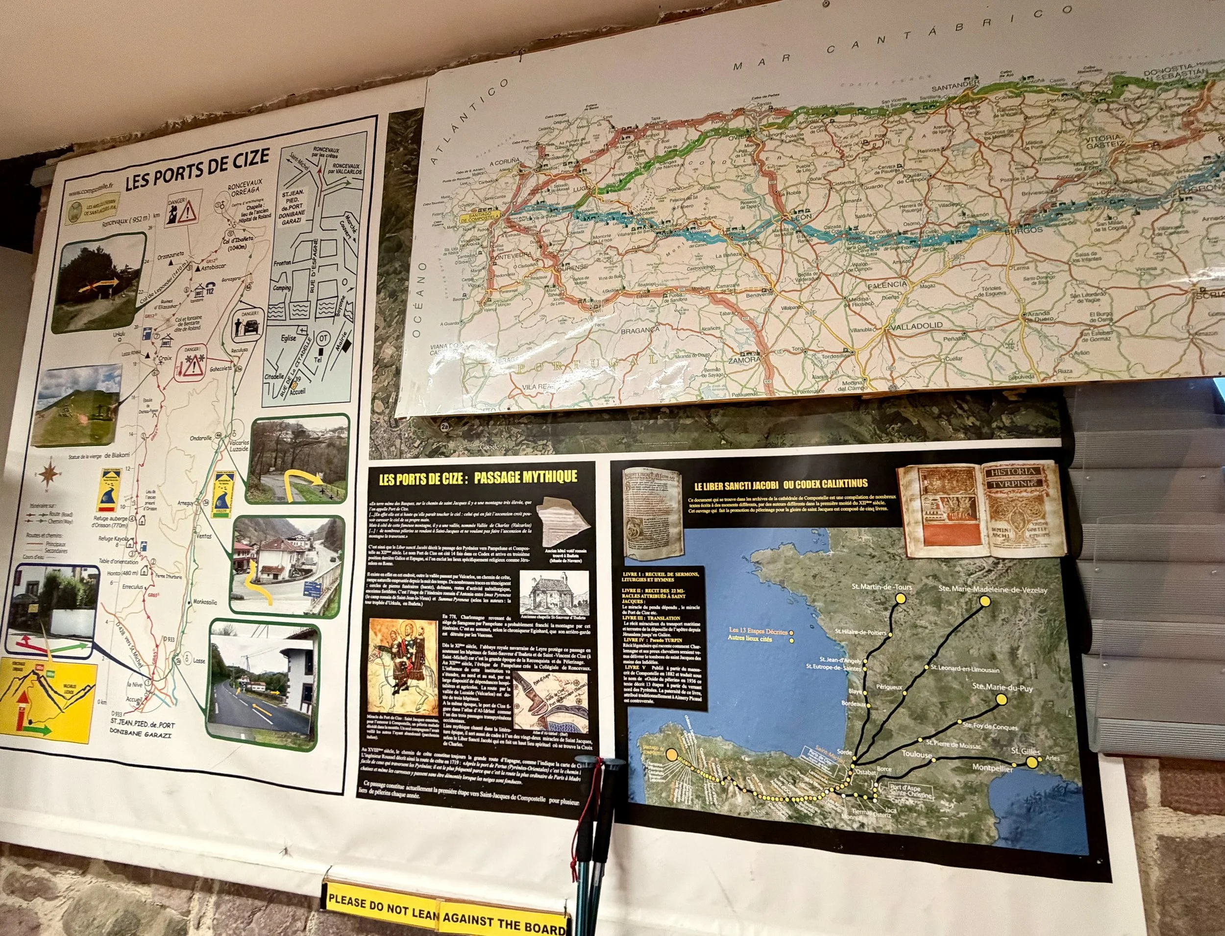
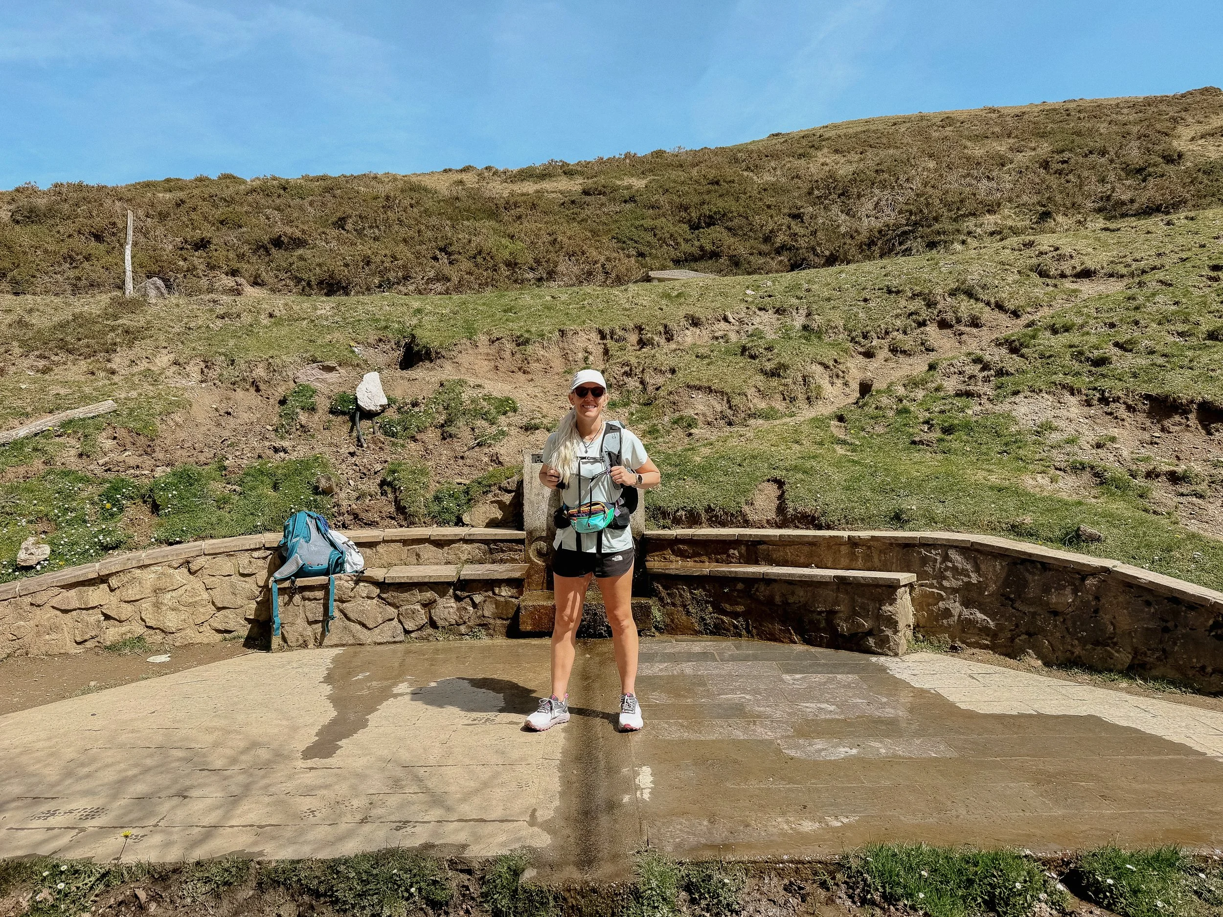
The Camino is relatively flat as compared to some of my other hikes, but day one (today!) is probably the hardest day on the entire trail. Although the start is in France, the trail goes up and over the Pyrenees mountains and along the way you enter Spain. The amount of climbing for the day as seen in the statistics is similar to some of the days that I had on the Appalachian Trail.
As I had just gotten off the Arizona Trail, I was not particularly concerned about the climbing, but just wanted to make sure that we arrived at the Albergue in Roncesvalles at a decent time. Though I had reserved ahead, I had dinner scheduled and lord knows I didn’t want to miss that!
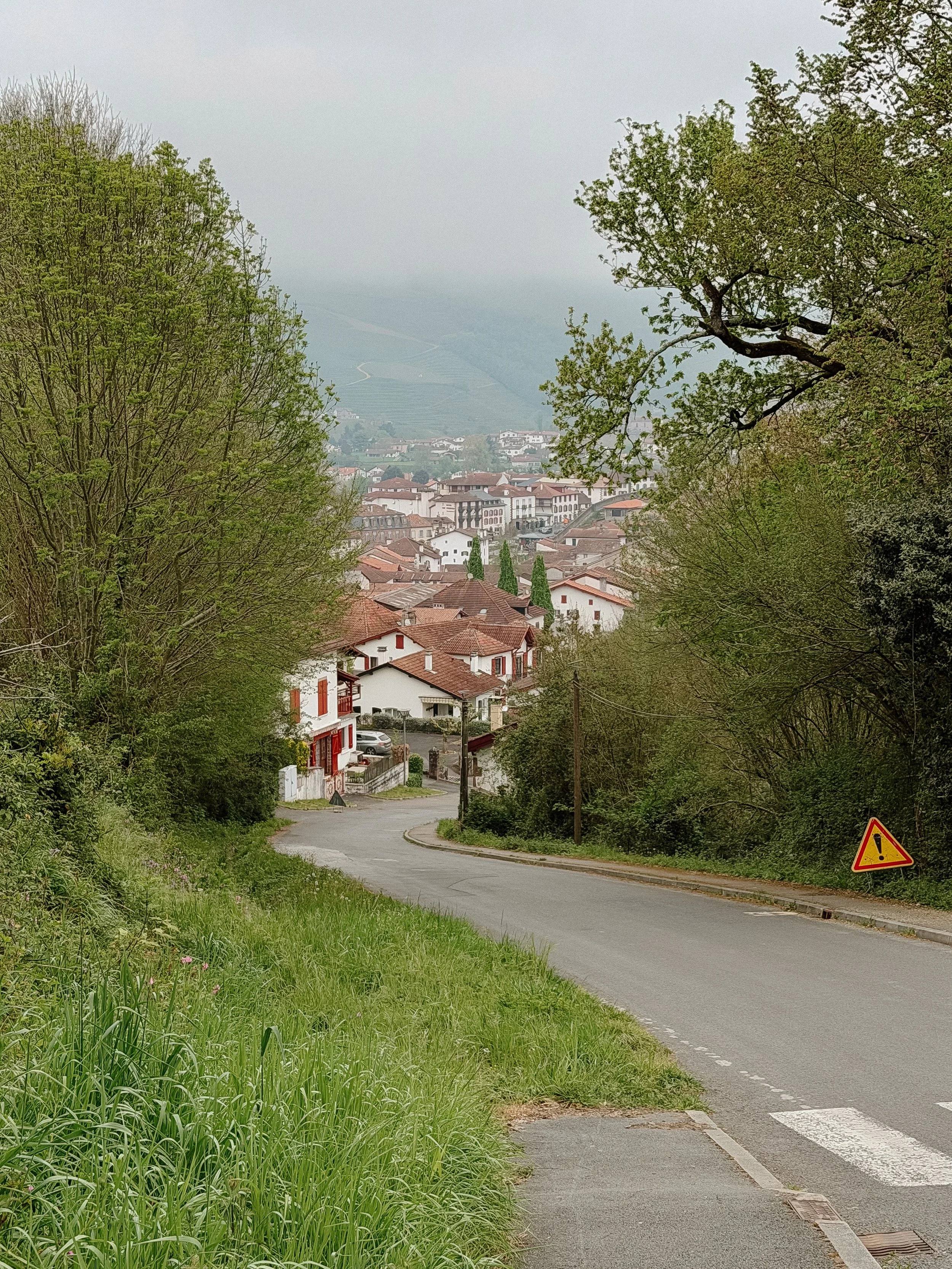
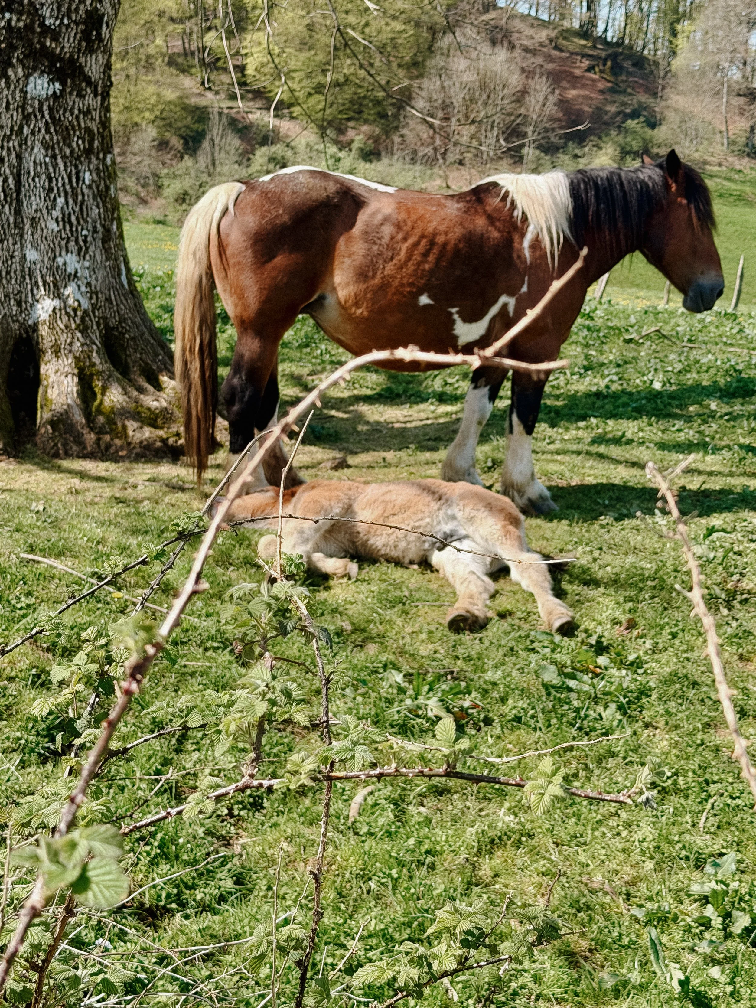
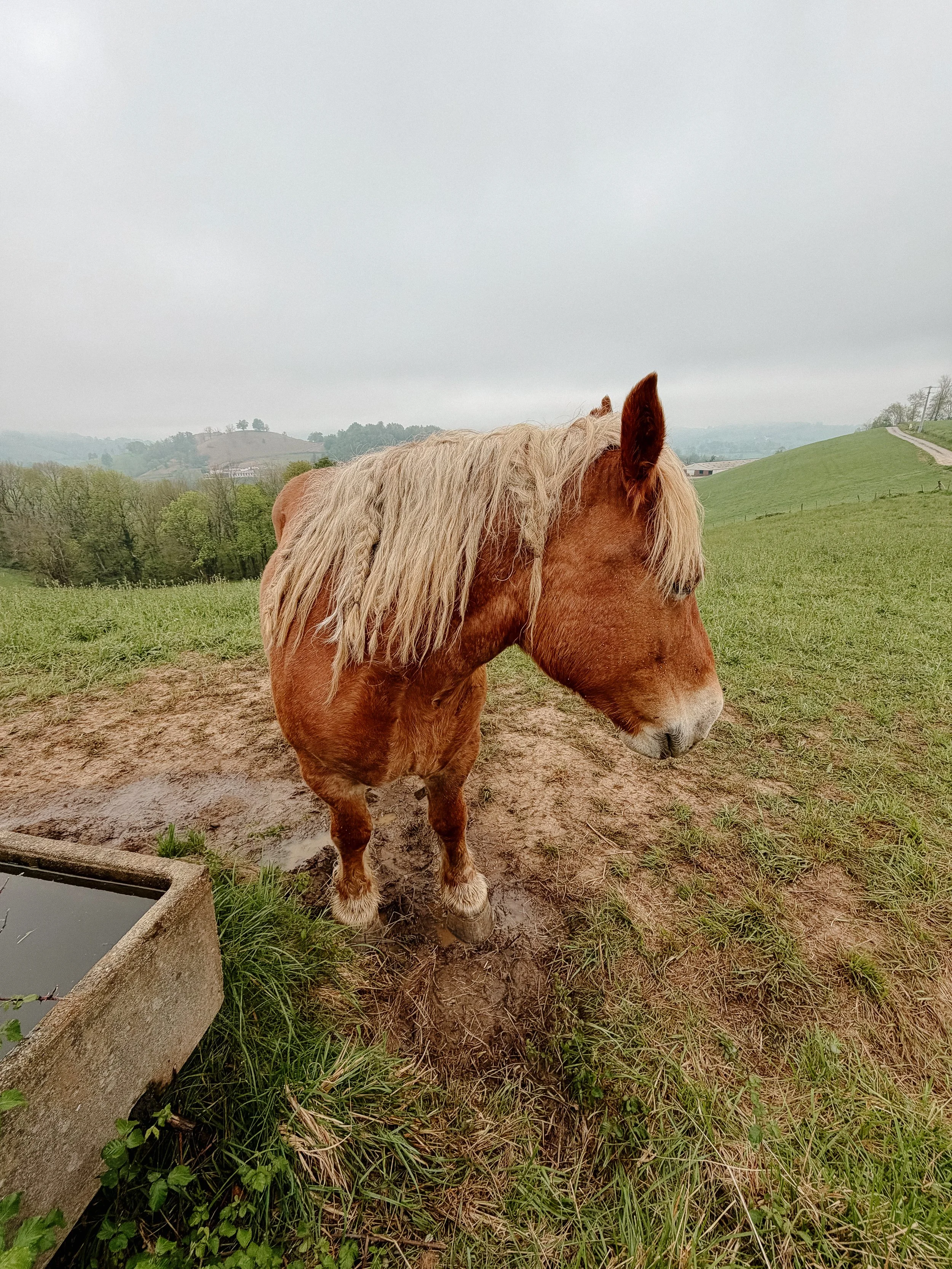
The trail ended up being steep. There were certain sections that felt comically steep. The trail wound through farmland initially as it climbed out of Saint Jean. The morning was a bit cloudy, but I had hopes that once out of the valley, it would clear up. Spring is the perfect time to enjoy this landscape because of the flora but also the baby farm animals. They were too cute!
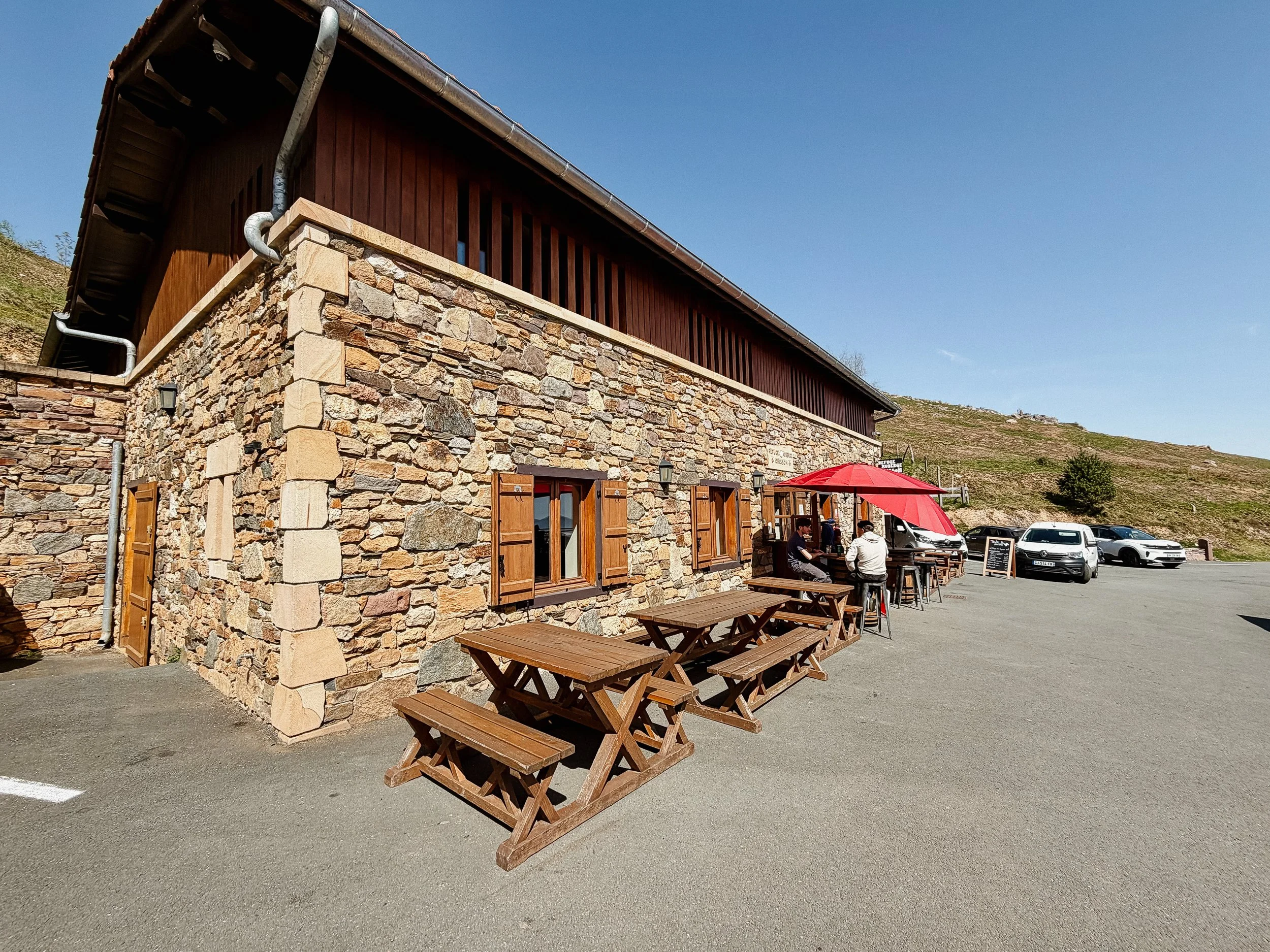
Halfway up the main climb was an albergue where we had a quick lunch. This would be a great stopping point for folks if they wanted to split up this robust today. There was great energy amongst the people here is everyone was excited to begin their Camino.
The remainder of the day flew by. The climbing continued, but because of the open views, great conversation with folks, the animals that were present, and the excitement of the adventure beginning overall – it was a wonderful day.
I met some other former Appalachian Trail hikers in addition to many folks who had done either this Camino or another Camino route before. This gave me an indication that this is an adventure that people wanna do multiple times.
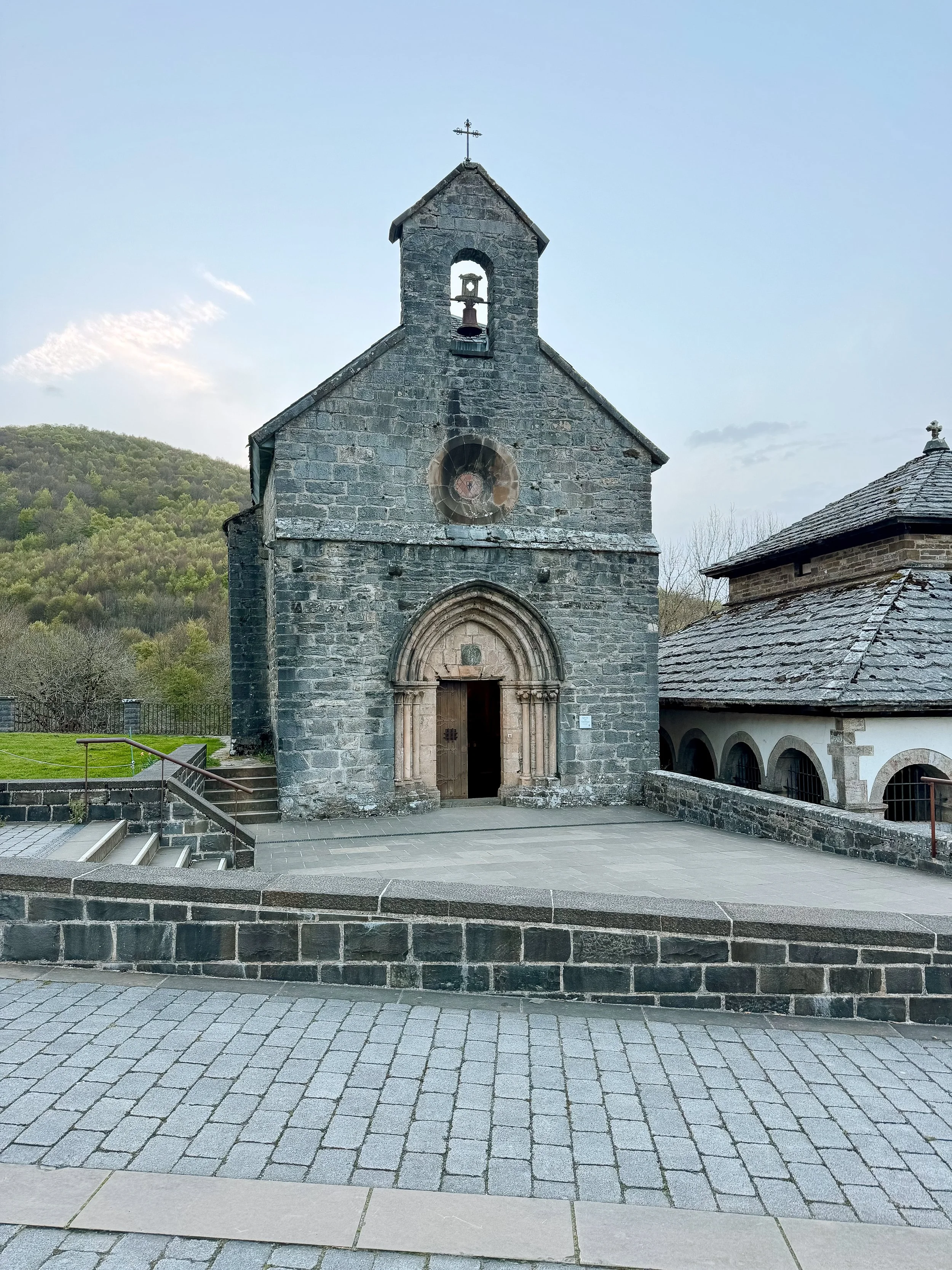
The descent actually might’ve been the hardest part of the day. It was very steep, steeper than any of the ascent from the day, and contained many rolling rocks. There was a winter reroute, but George and I decided to take the main way which may have been a mistake, but alas. Once finally down through the trees, we ended up in Roncesvalles. This tiny village was a welcomed sight after a long day. There is one main albergue there, which I had booked in advance, so we got settled in.
I learned the rules of an albergue, including removing your shoes before you go into the sleeping quarters – which honestly should be implemented in other hostels that I’ve been in because this keeps it clean and smelling nice… or at least better than it would otherwise.
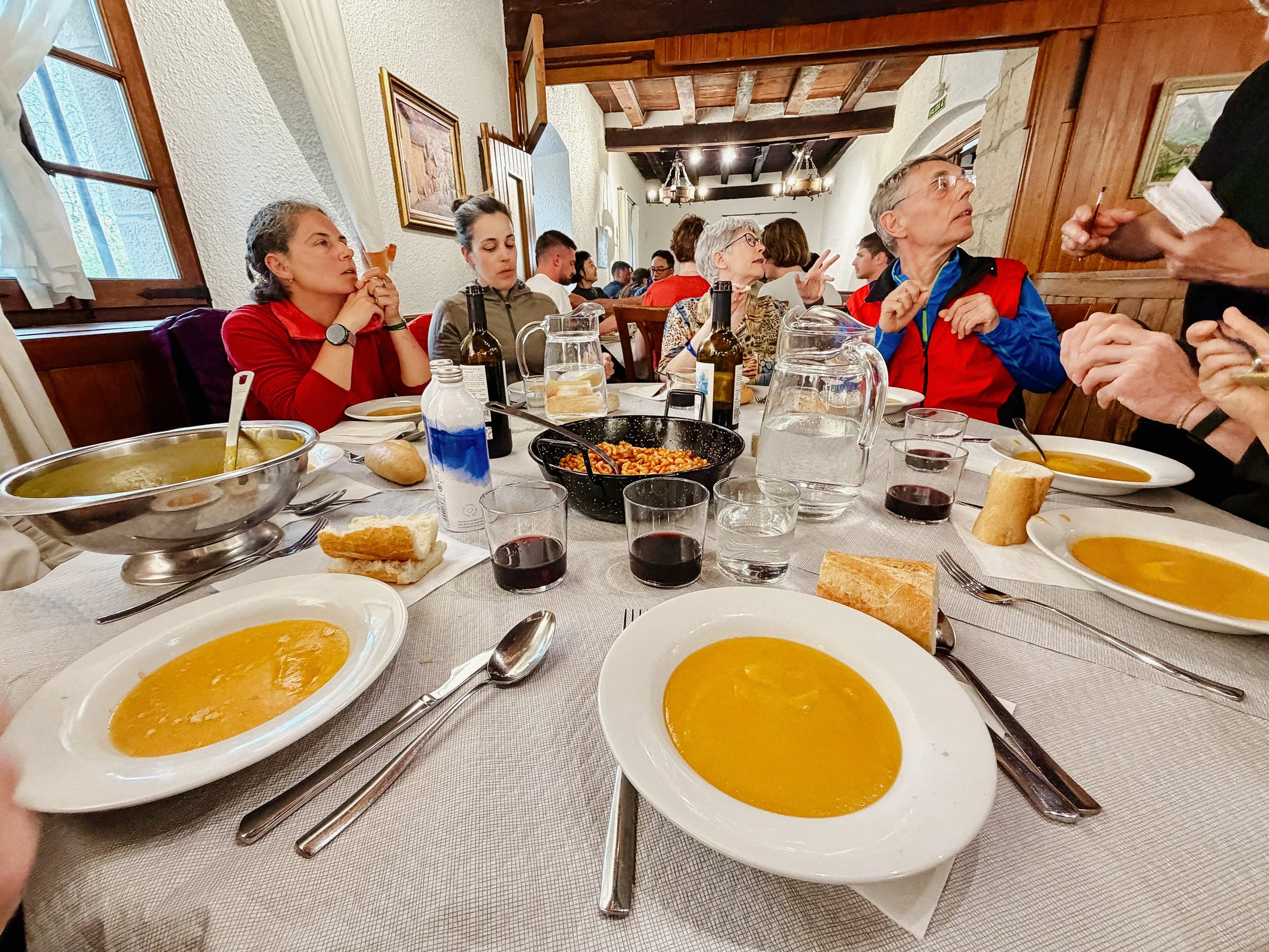
I found my bunk and quickly took a shower. The restaurant in town does a large pilgrim meal with all of the Camino walkers so we signed up for that. George and I were assigned a wonderful table with folks that we would continue to see for the week that George was on trail with me. This included Greg (UK), Alex (US), Sarah (Brazil), Charmin (US), and Arno (Austria). They were all treats to have dinner with.
I was exhausted by the time I slid into my bunk. It felt like a distant past that I started out the day on a train from France. And I was ending the day over the Pyrenees mountains on the Camino de Santiago in a tiny Spanish village after having dinner with strangers.
-
Distance: 13.6 miles/21.7 kilometers
Elevation Gain: 1380 ft
Elevation Loss: 2771 ft
Accommodation: Zubiri Muncipal Albergue
I woke up early, but that was primarily due to the albergue seemingly coming alive around 5:00am. I’m unsure if any of these people in my near vicinity have ever shared accommodation with anyone before based on their behavior. The snoring symphony was something to behold the entire evening, but thankfully, I prepared by bringing hefty duty, set of earplugs and an eye mask.
It was going to be a shorter day that included a lot less elevation so George and I were not motivated to move too quickly. I laid in my top bunk bed for some time and finally left just before 8:30am when the hostel requires you to vacate.
Something that has been starkly different from my other hikes is the availability of towns and therefore town food along the way. Roughly 1.5 miles into the day there was a small café in which myself George, Greg (from the evening prior) and Candice (Australia) enjoyed breakfast together. We chatted about the world, our hiking experiences, jobs, and more. Having people (read: strangers) speak from three different countries about shared experiences it’s just special.
There were several more towns for the day with a lot of farmland, including a brief cattle drive with many calves. Lunch was several hours later at another café a delicious pizza. It began spitting rain on and off, but nothing to be too concerned about. I’m looking at you, Appalachian Trail.
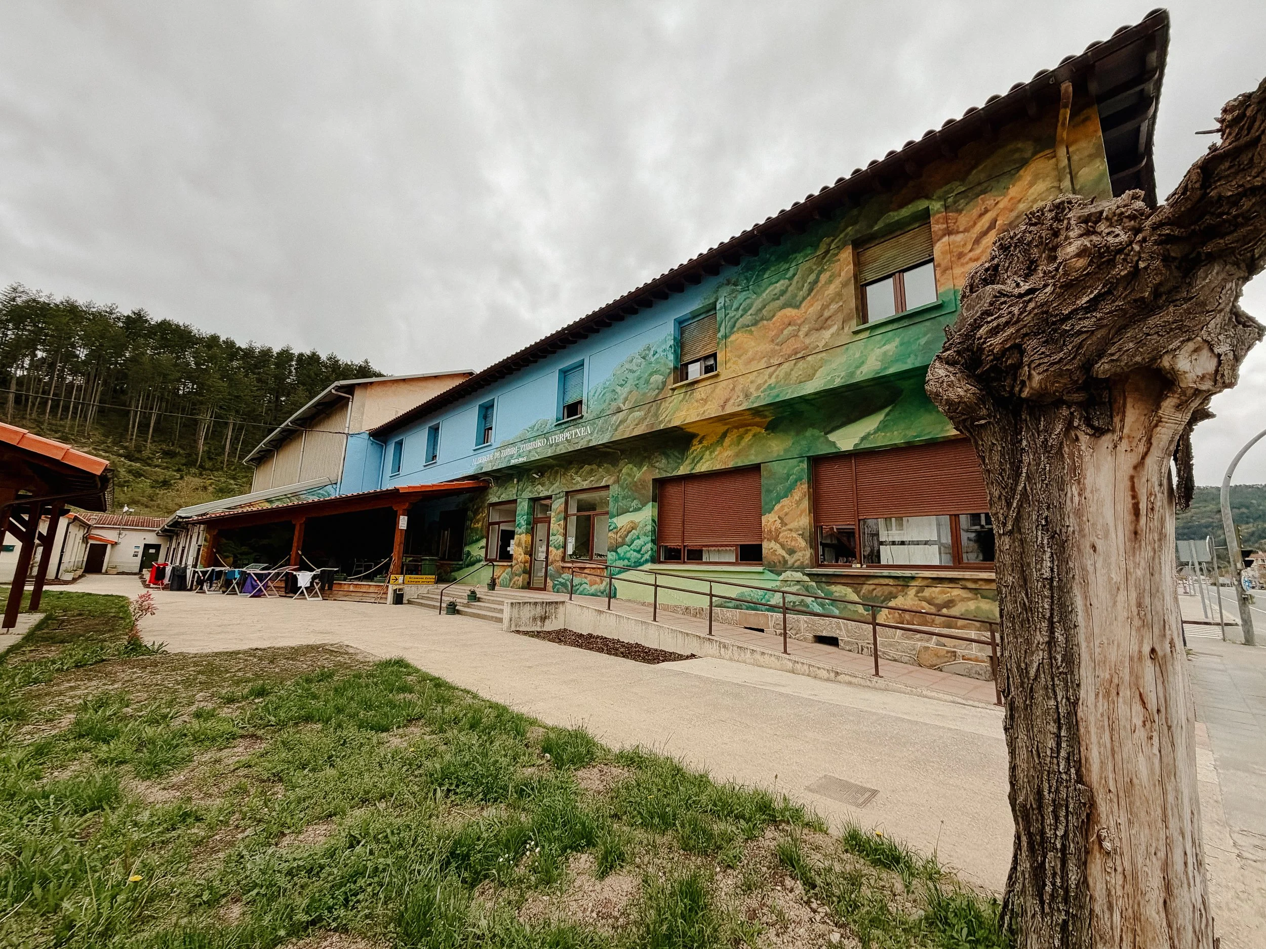
The remainder of the day was easy trail through the woods and I got into Zubiri at a decent time. We ended up staying at the municipal albergue, which was the most cost-effective option. For some reason there was not much open nor available for food, so we grabbed some basics at the gas station and made dinner. We ended up chatting with Ildonna (Spain) and Sarah (Germany) for the evening and enjoyed a meal with them.
Luckily, the dorm room was empty. Therefore there was no snoring so I slept wonderfully.
-
Distance: 12.7 miles/20.3 kilometers
Elevation Gain: 1135 ft
Elevation Loss: 1417 ft
Accommodation: Albergue Jesús y María
The night prior, I had gotten a few items to eat for breakfast along the way as this was Sunday morning and I did not think that much would be open. George and I had a cup of tea and then set off with our packed out treats.
This was a misty cool morning. There was some elevation gain straight away, but that would be for the majority of it for the entirety of the day. We stopped for a pre-lunch snack and an extra coffee cause I was feeling just a little bit groggy. Slowly but surely I began to get a bit more confident ordering food in Spanish.
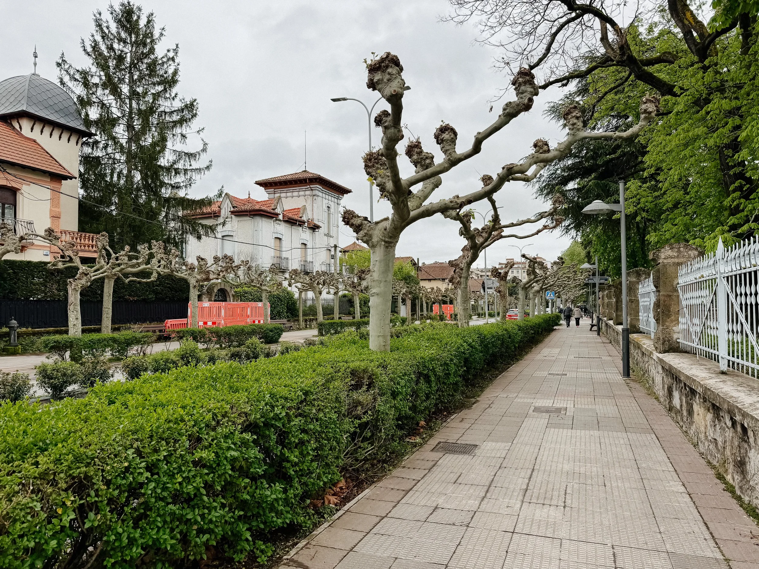
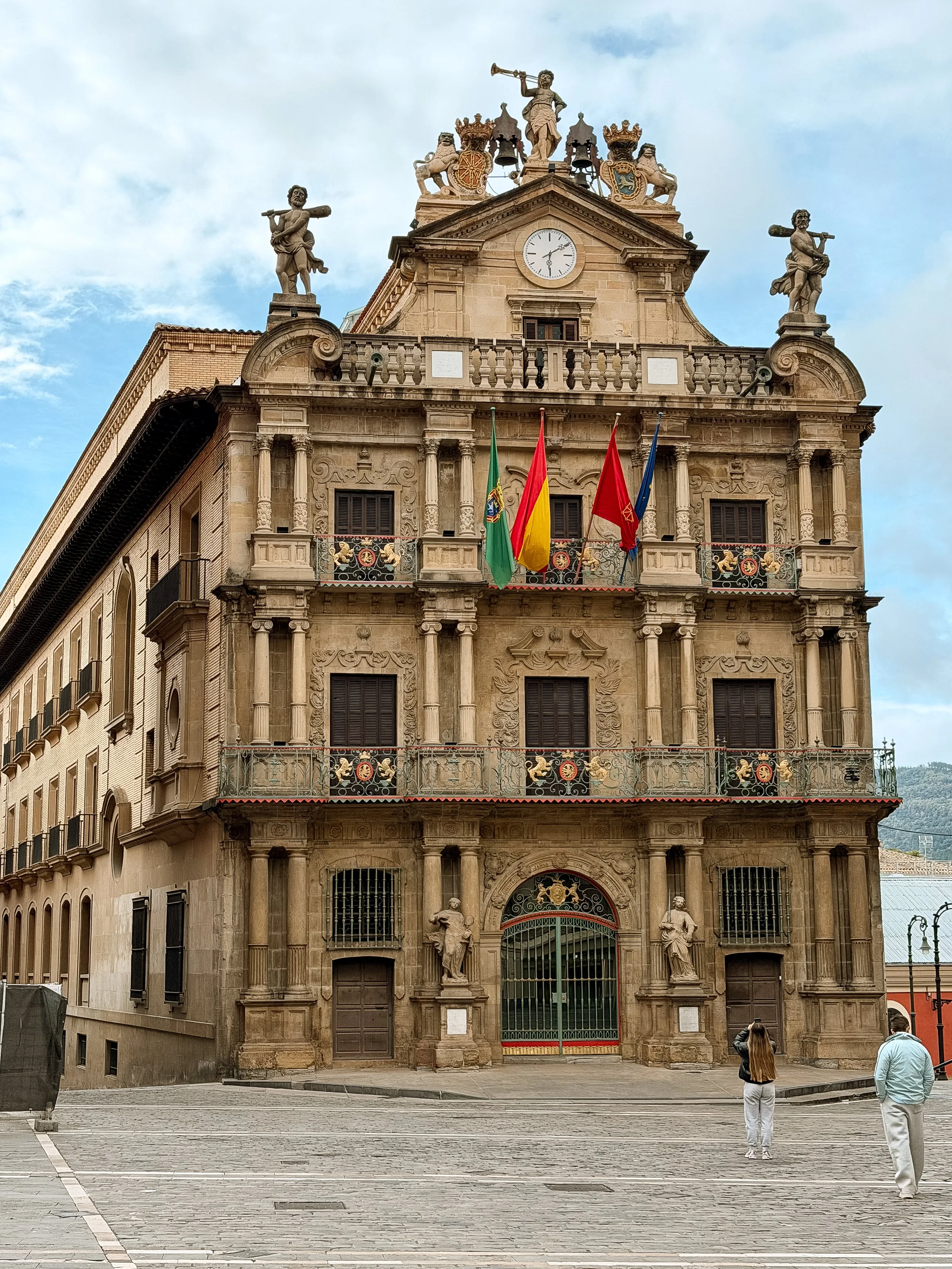
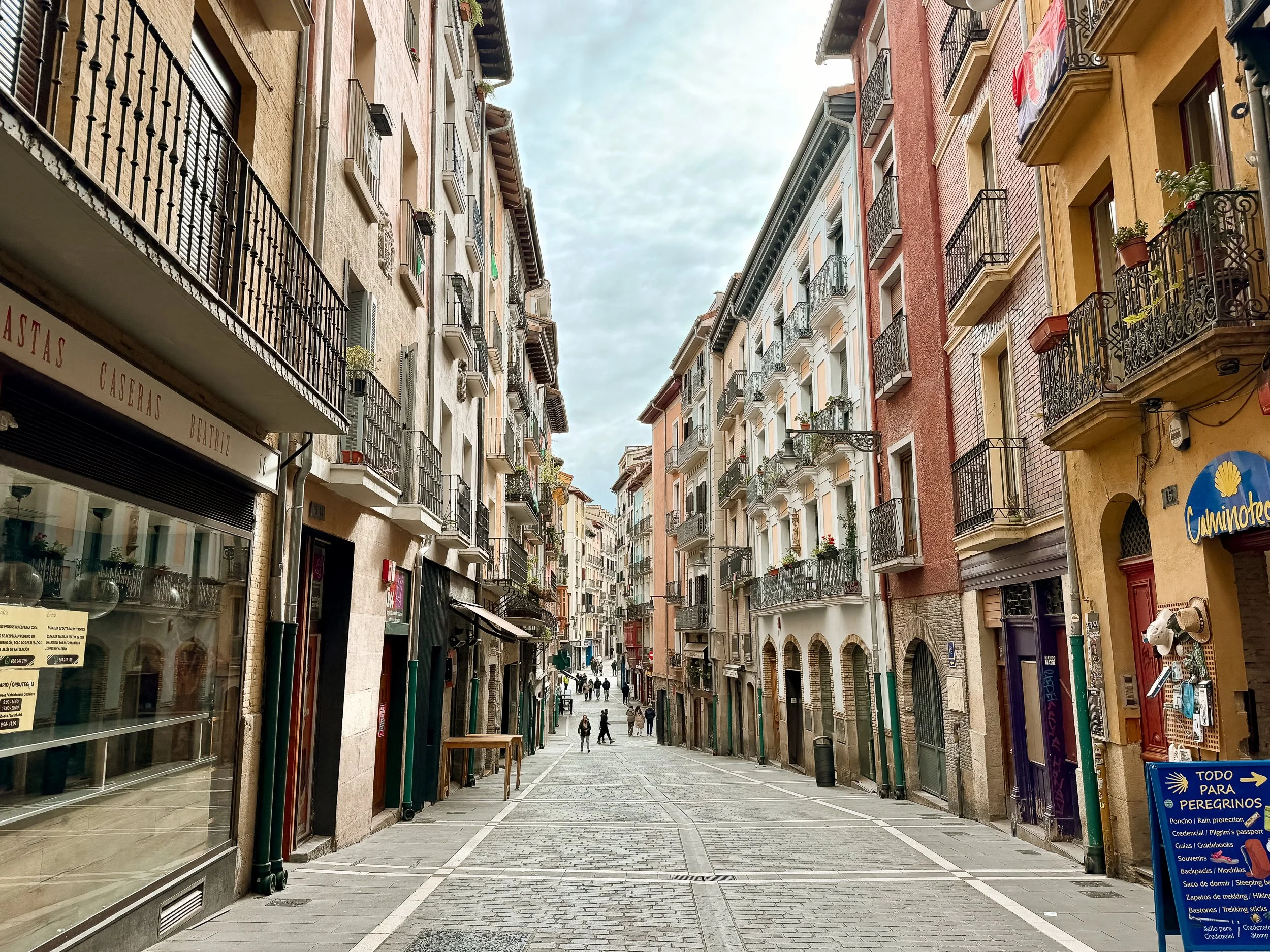
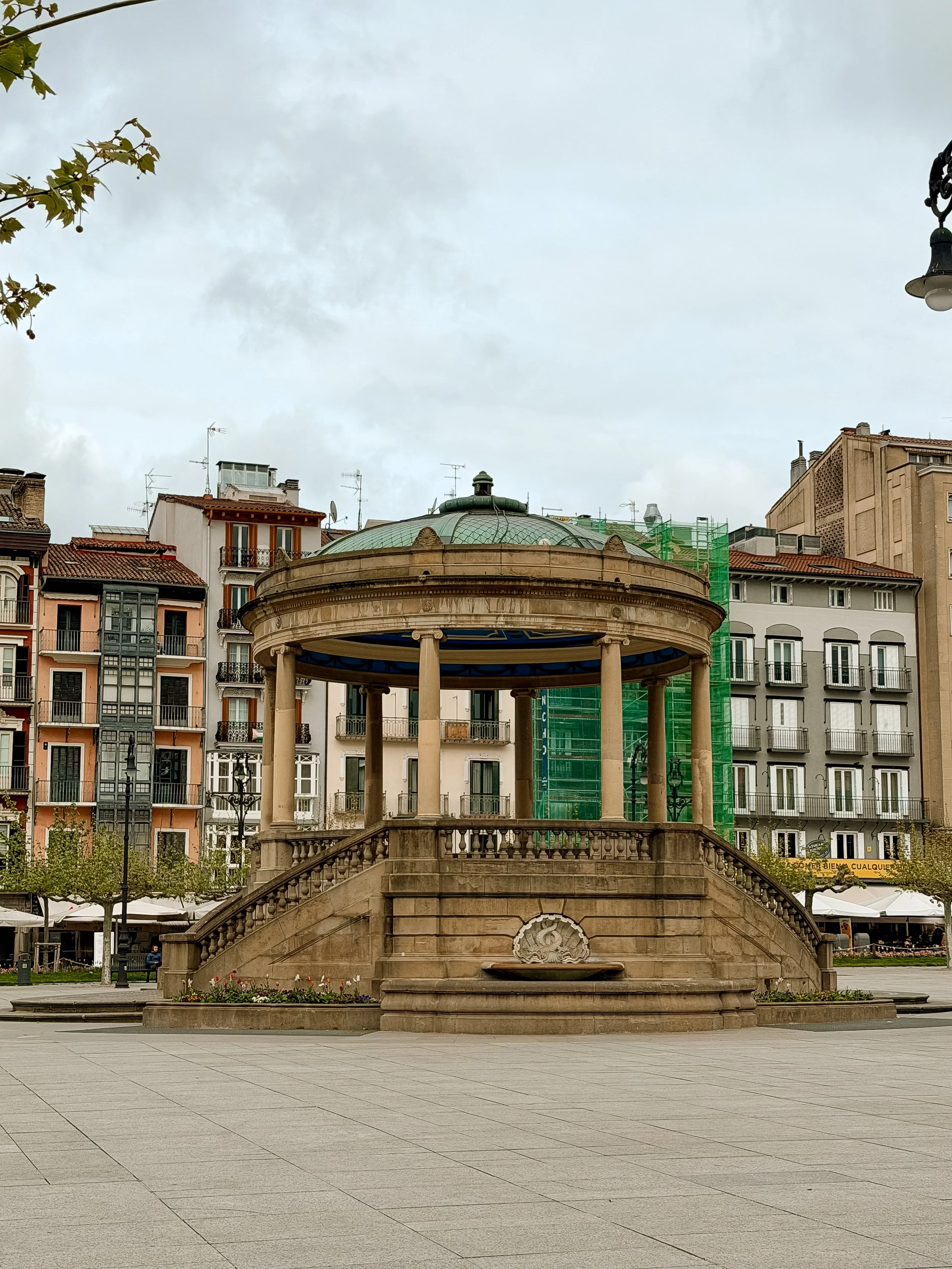
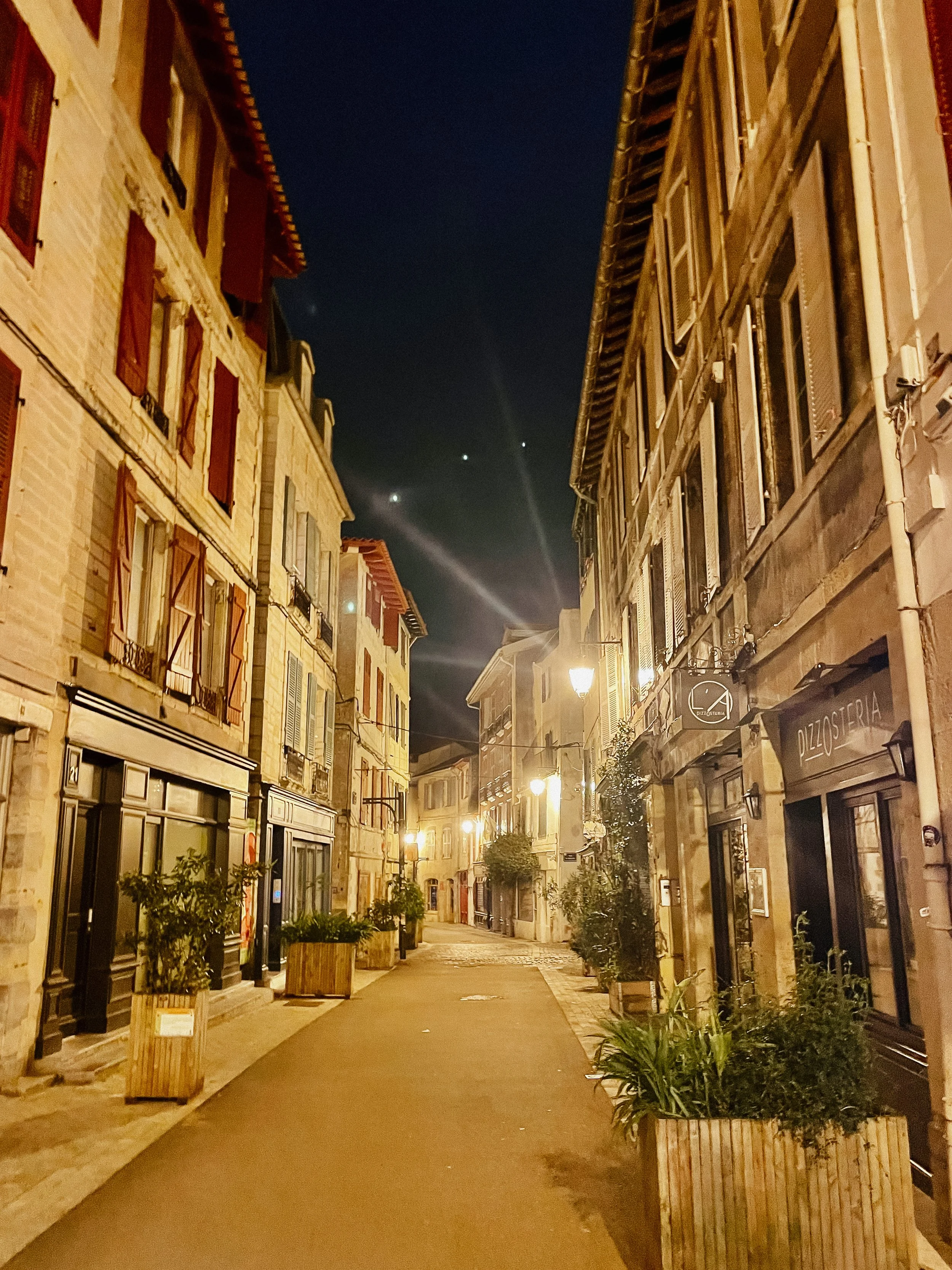
Beginning to enter the Pamplona area was special. Because this is one of the bigger cities along the Frances route, I walked into the city for sometime before actually arriving in the city center. There were some religious ceremonies going on and people heading into an afternoon mass and just living their lives. A good majority of them took that time to say “Buen Camino” as we walked past.
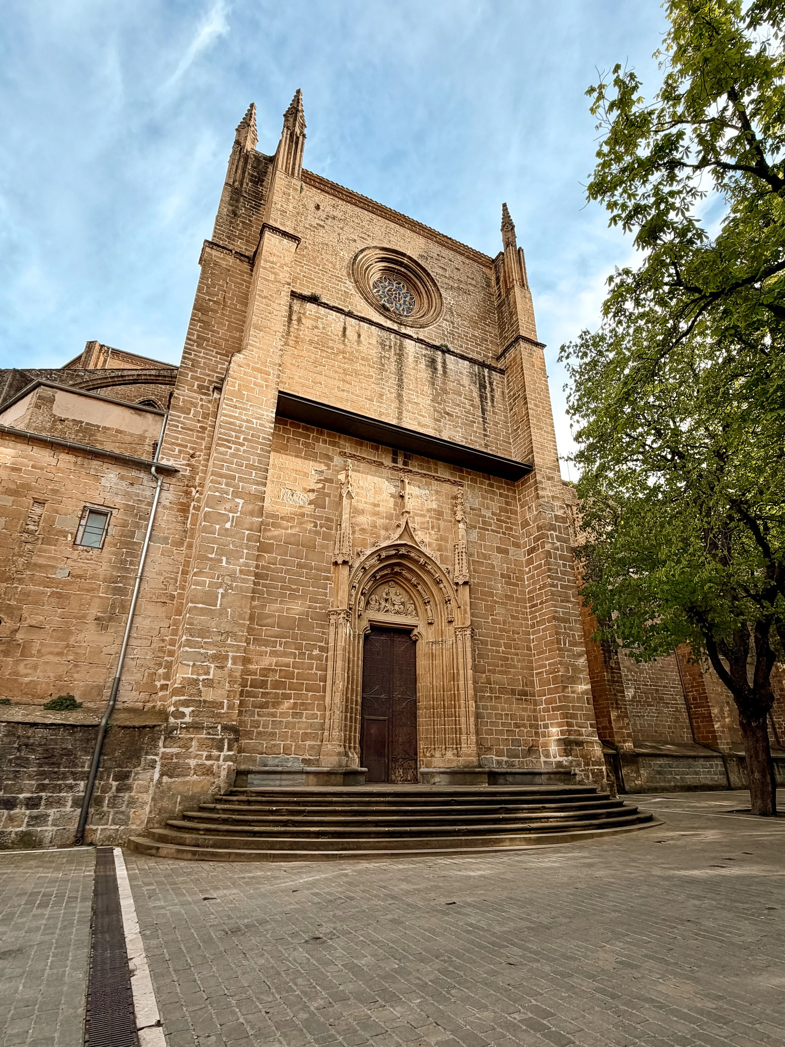
When entering into the main city area, I began to see a medieval stone wall that provided a main defense barrier for the city. As I passed over the wall into the city center, it felt like stepping back in time. I passed the Plaza del Toro’s, which is a bull fighting ring. But in Pamplona, it holds another purpose - read on!
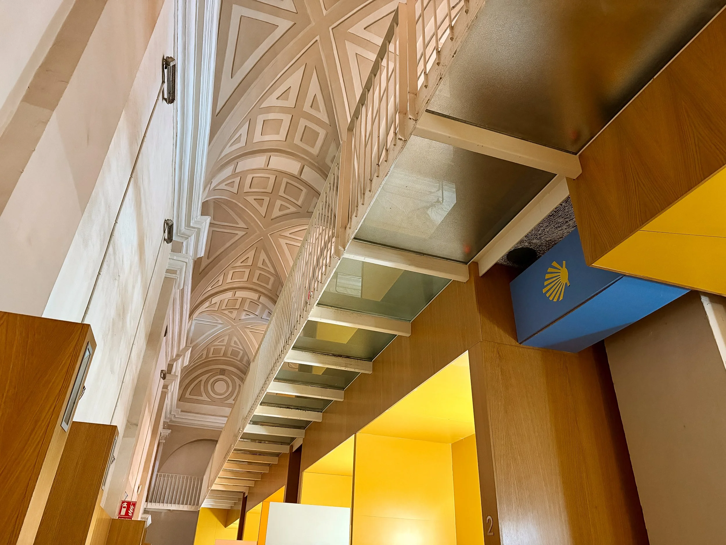
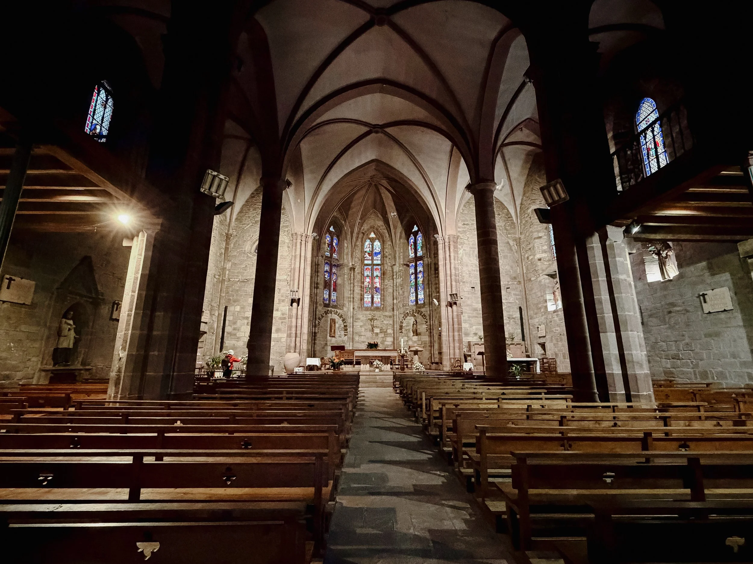
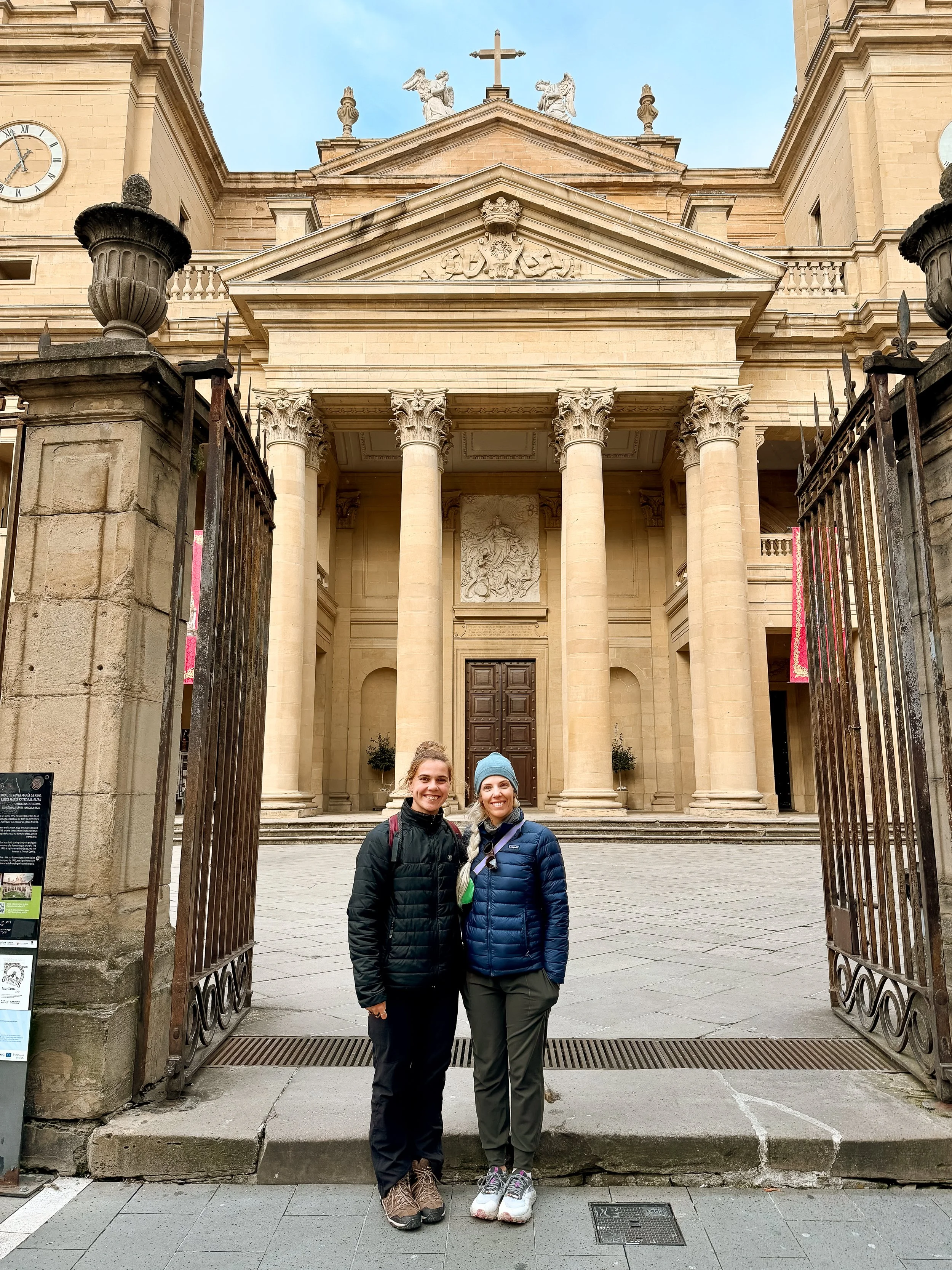
We got beds at my desired albergue in town, which is an old cathedral that they turned into accommodation for peregrinos. Because the hiking was easy and we arrived early, we decided to do a walking tour of the city in the evening. Similar to the night prior, I made dinner at the hostel and then I took a brief nap before walking around the city.
We met up with Este, through YogaTour, who gave us a private tour of Pamplona. She’s from Pamplona and loves it, and I appreciate the attention to detail and interaction that she took with us on the tour. She was patient when I wanted ice cream along the way and was kind when I was asking potentially obvious questions.
Pamplona is best known for is the Running of the Bulls at the annual San Fermin festival. Being able to walk the streets and the path that both the bulls take and the brave souls that run from said bulls take was pretty meta. It is something this festival is something that the city takes pride in and there are countdown clocks scattered about. I would definitely recommend taking a tour with her if you are in the area.
As I would continue to discover there was more of a snoring symphony with everyone, but with earplugs and my eye mask, I slept well.
GALLERY