Colorado Trail Bike Route: A DNF Story
Colorado Trail Bike Route
DNF: Did Not Finish
My first major DNF outdoor adventure. I am someone who, once they start things, they finish them. Any educational endeavor I’ve been on, I’ve completed. Any professional movement I’ve made has been running toward something not because I quit something else. I’ve never given up on relationships. I see it through – for better or for worse. So me swallowing my pride and realizing that, though, I overall believe that I can do anything that I set my mind to, this particular adventure was one was outside of my skill set.
Had I more cycling experience and actually … ever mountain biked beforehand, I think that I would’ve gained some the skills needed for this technical trail. But considering this was my first trip mountain biking (hello, clip in shoes? lol) this trail is not for novices like me.
This adventure idea was put into action due in part to my friend from the Appalachian Trail, George. He is primarily a cyclist and has done many bikepacking trips. Because he knew what he was doing, I thought it would be be a good time to learn from him. Leveraging expertise of friends.
Practice Ride:
On the way to the Pacific Crest Trail for section K and section L, George and I had stopped in Bend, Oregon and mountain biked once while there. This was my first attempt at mountain biking and using my clip in shoes to adhere to the pedals. We did 16 miles on the blank blank trail and it was actually very fun! I tipped over and fell only a few times, my pride dinged a small bit. My heart rate? Absolutely despicable. Again I thought because I had just finished the Appalachian Trail that I was in good shape, but this is a different type of both muscular and cardiovascular strength that comes from mountain biking.
Colorado Trail Bike Route Summary
Statistics:
Days: 3
Full biking days: 2
Zeroes: 0
Neros: 1
Total Miles: 77.9
Total Elevation Gain: 8894 ft
Total Elevation Loss: 6501 ft
Highlights:
Tried something new that scared me
Pivoted and had an enjoyable two weeks in Colorado
Continued to have friends that support my wild dreama
Lowlights:
My first big ‘Did Not Finish’ of outdoor adventuring
Crash that lead to an uncomfortable injury
Colorado Trail Bike Route Details
Day 1:
Trail Daily Miles: 8.6
Elevation Gain: 1040 ft
Elevation Loss: 347 ft
Weather: Sun, Warm, Thunderstorm, Cold, Rain
Overall Day Sentiment: I may be over my head.
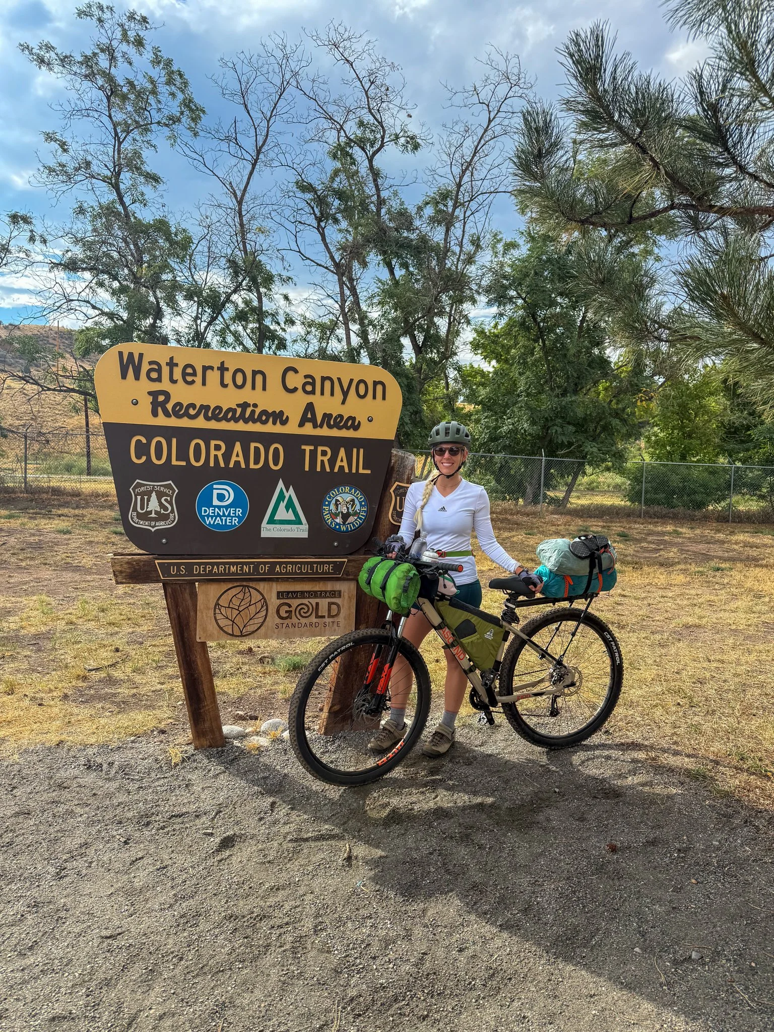
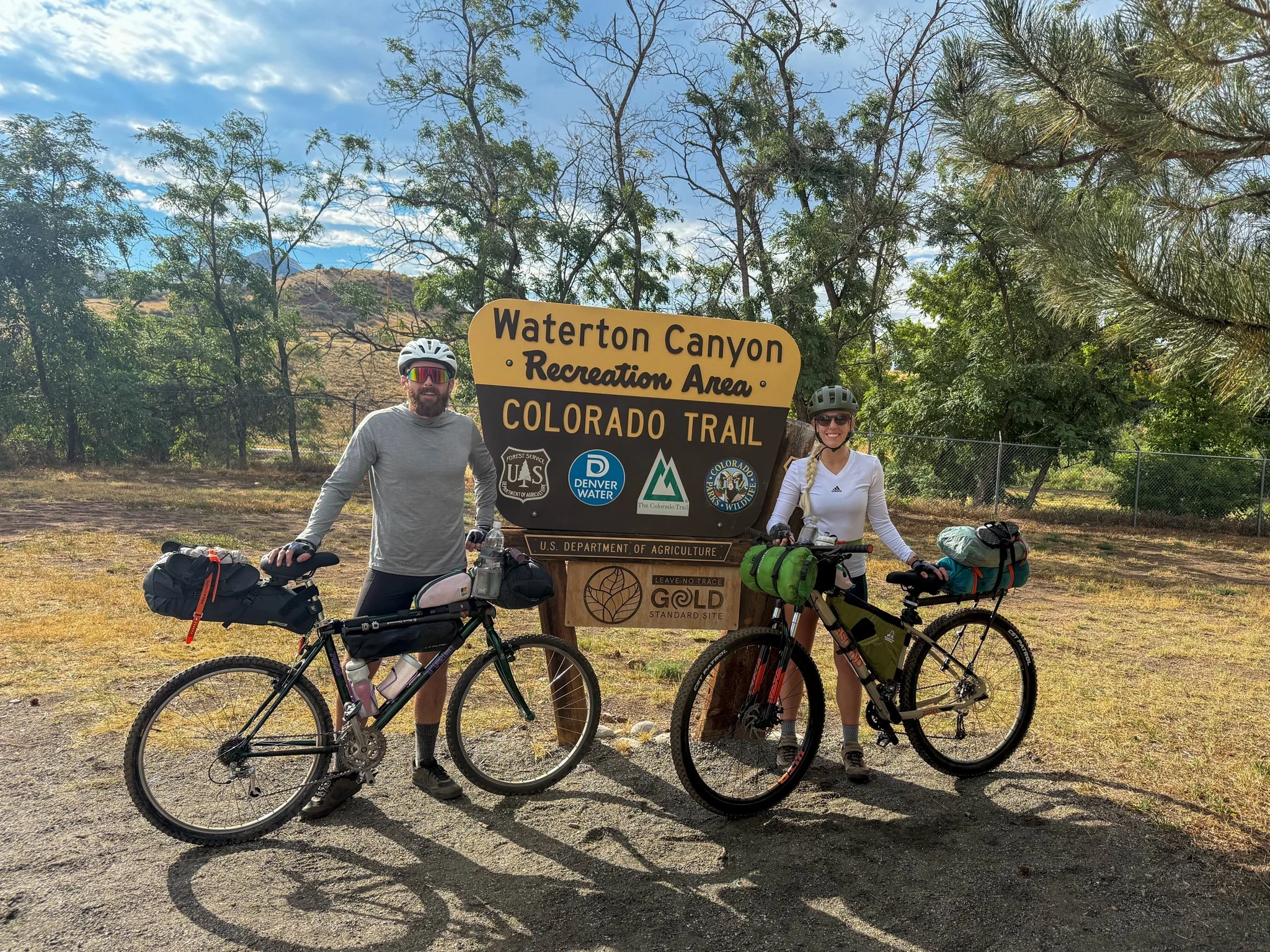
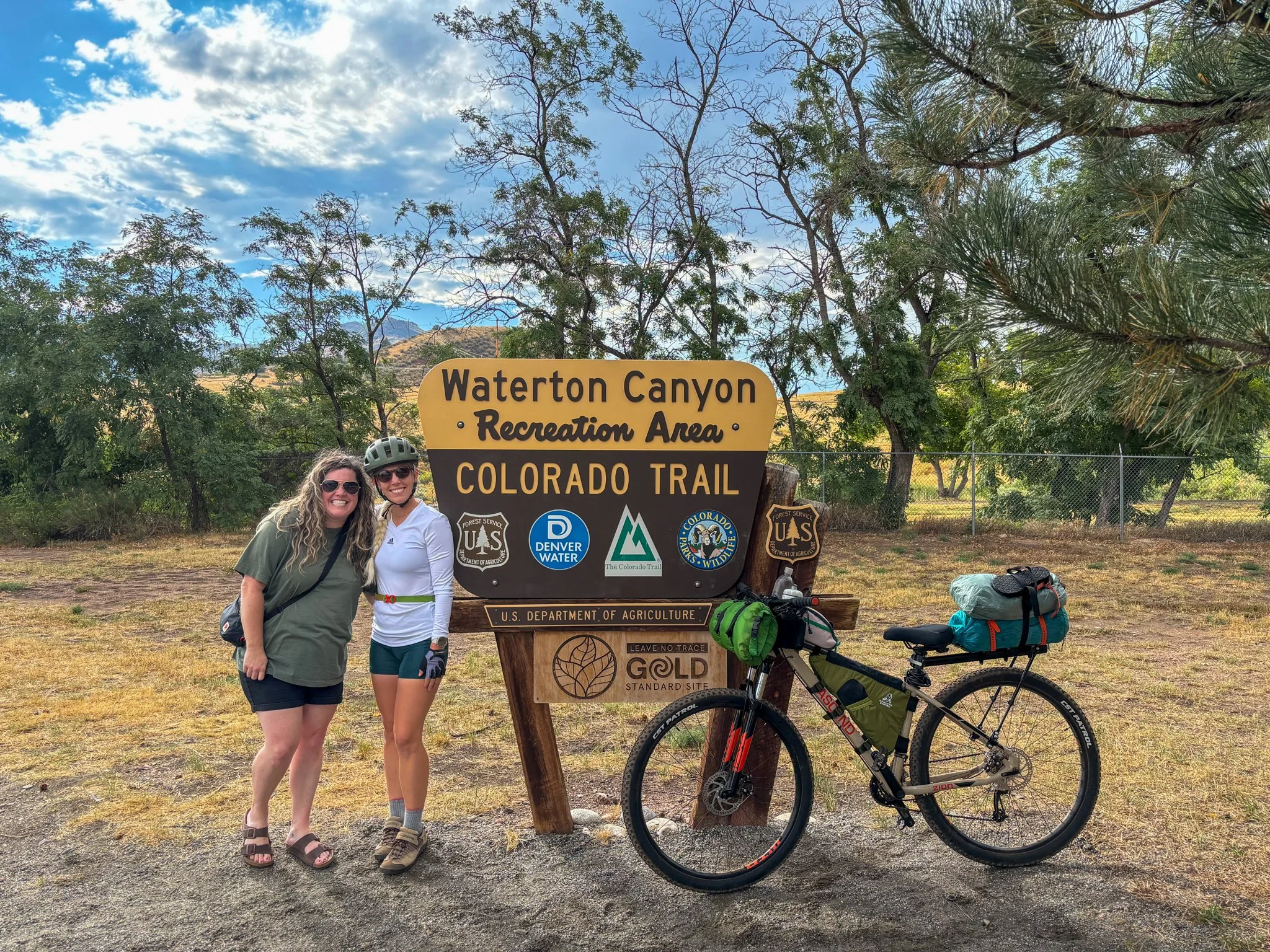
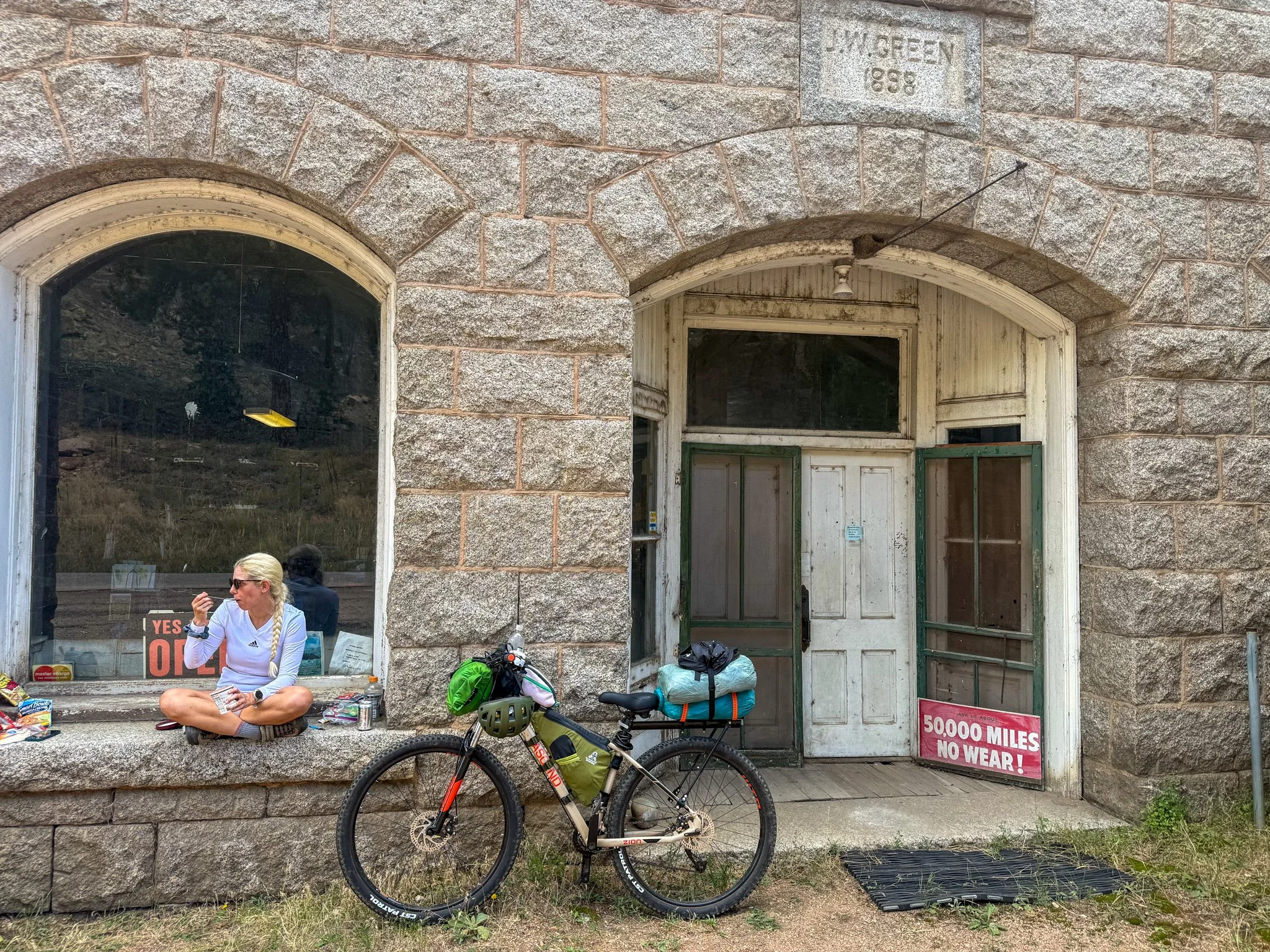
I had landed at my dear friend Sarah’s house the night prior. I was able to leave my car there for the expected 2 weeks that the trail would take. And bless Sarah, she also agreed to drop us off at the trailhead, about an hour away.
Waking up at Sarah’s house was such a comfort after being on the road for the last several weeks. The main goal of the morning was to get everything packed up on both of our bikes. We had yet to do this so there were some kinks that needed to be worked out. One kink we discovered very early on is that one of George’s bike tire was already flat. The inner tube was punctured and though we thought that we had a replacement tube, turns out it did not fit his bike. A stop to a bike stop on the way to the trailhead was in order.
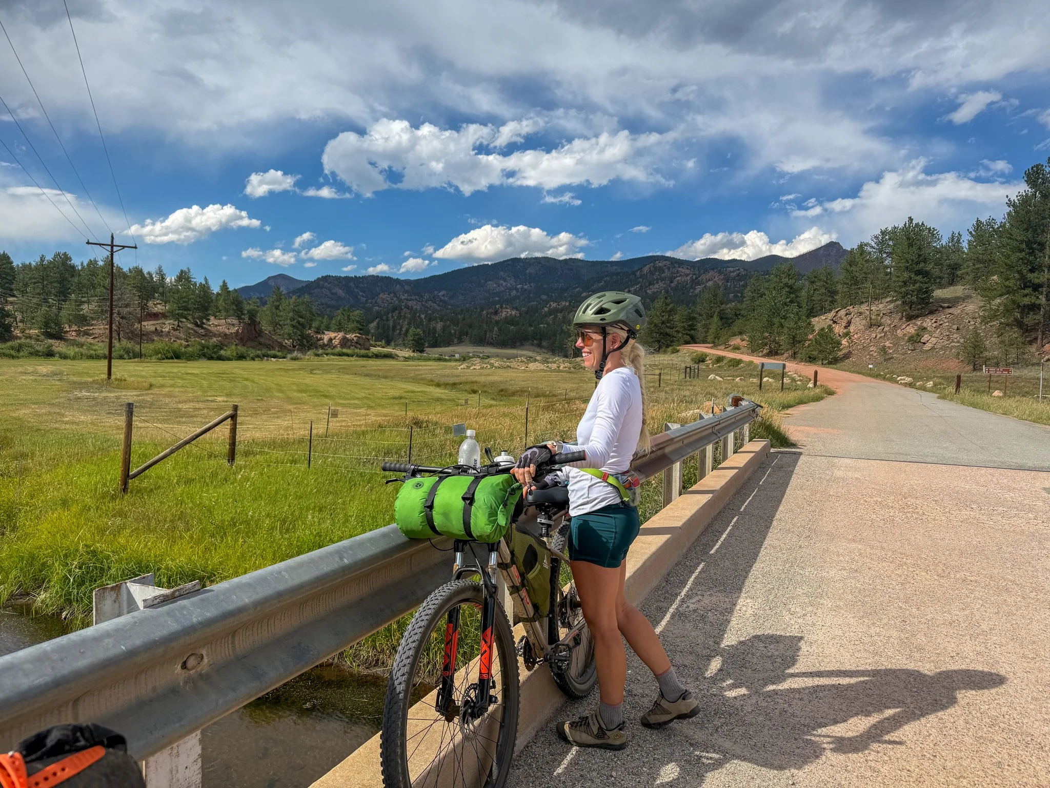
Getting our bikes set up, took much longer than we expected. I have never gone so ultralight and bare minimum on any sort of outdoor adventure. I was hoping there was going to be relatively warm weather with how few clothes were packed beyond my daily biking outfit. Once my bike was all situated, I rode around a little bit and the extra weight did not feel terrible- it felt manageable. Things were strapped down appropriately so I didn’t feel any extra movement. This was a strange sensation, though, knowing that everything I needed was on this bicycle rather than in a backpack attached to my actual person.
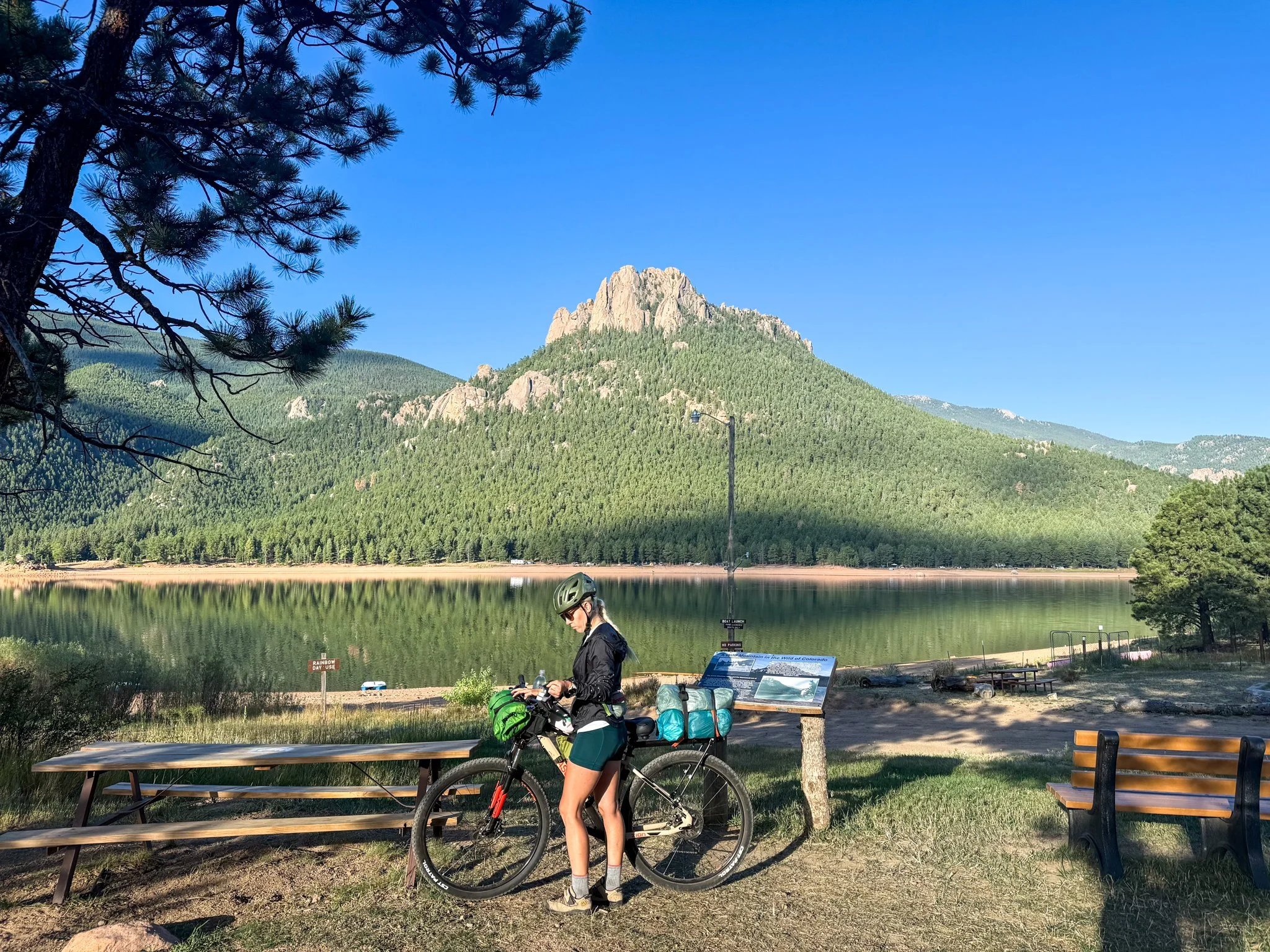
I was brimming with energy when we arrived at the northern terminus. There was a large parking lot there and because it was a Saturday it was full of hikers, bikers, and people having large family gatherings. We took our dismantled bikes out of the car and began to reassemble them. Only to be greeted with a short but ferocious thunderstorm, which Colorado is known for in the warm summer afternoons. We all hid in Sarah’s car while our bikes sat out. A test of the waterproofing.
We rode over to the northern terminus, took some lovely photos, and gave Sarah a big hug for all of her help. This road trip really showed how much a community that I have built over the years that are scattered throughout not only the United States, but also around the world. I’m thankful for all of these relationships and appreciative of friends who support my lifestyle.
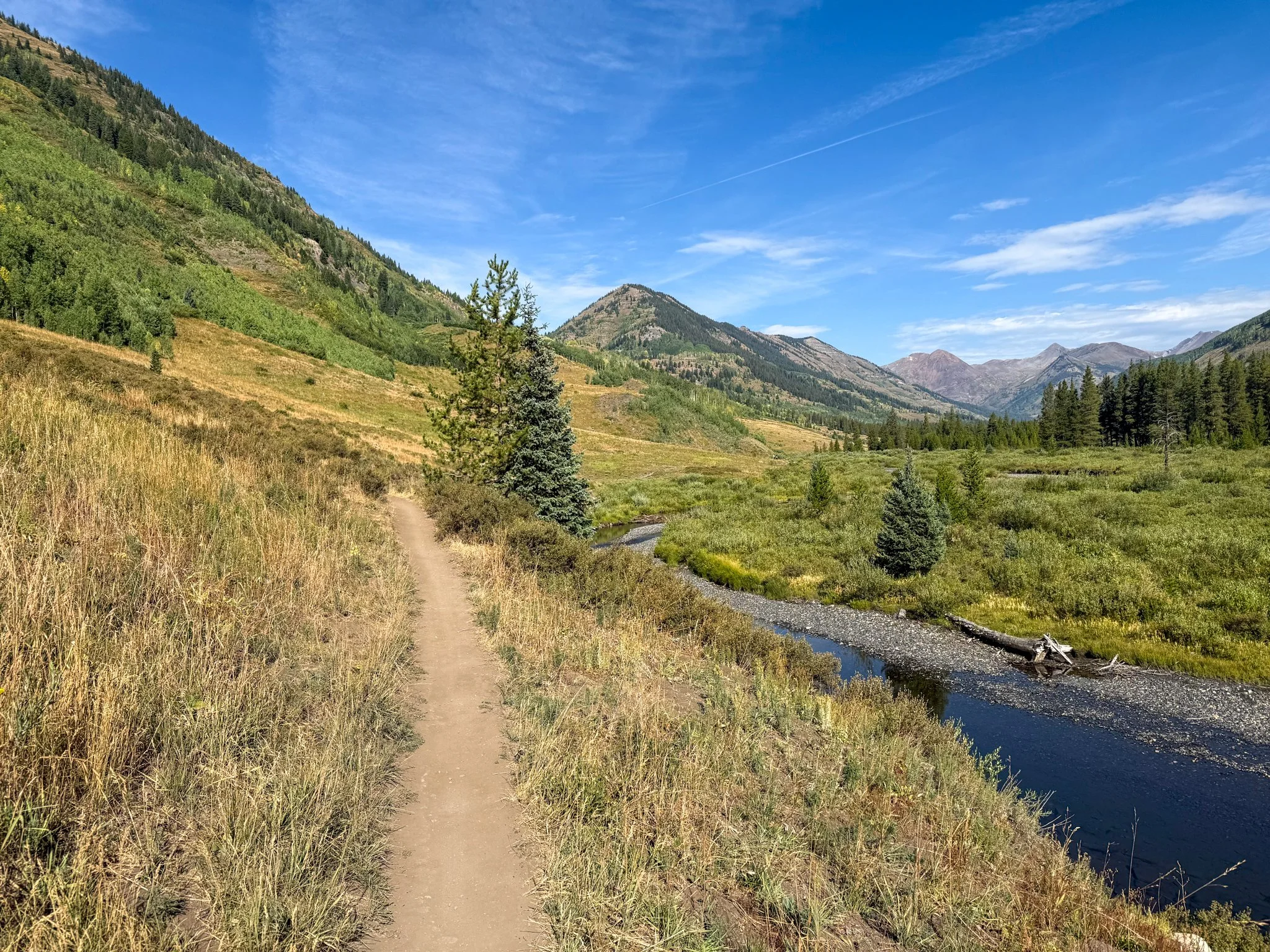
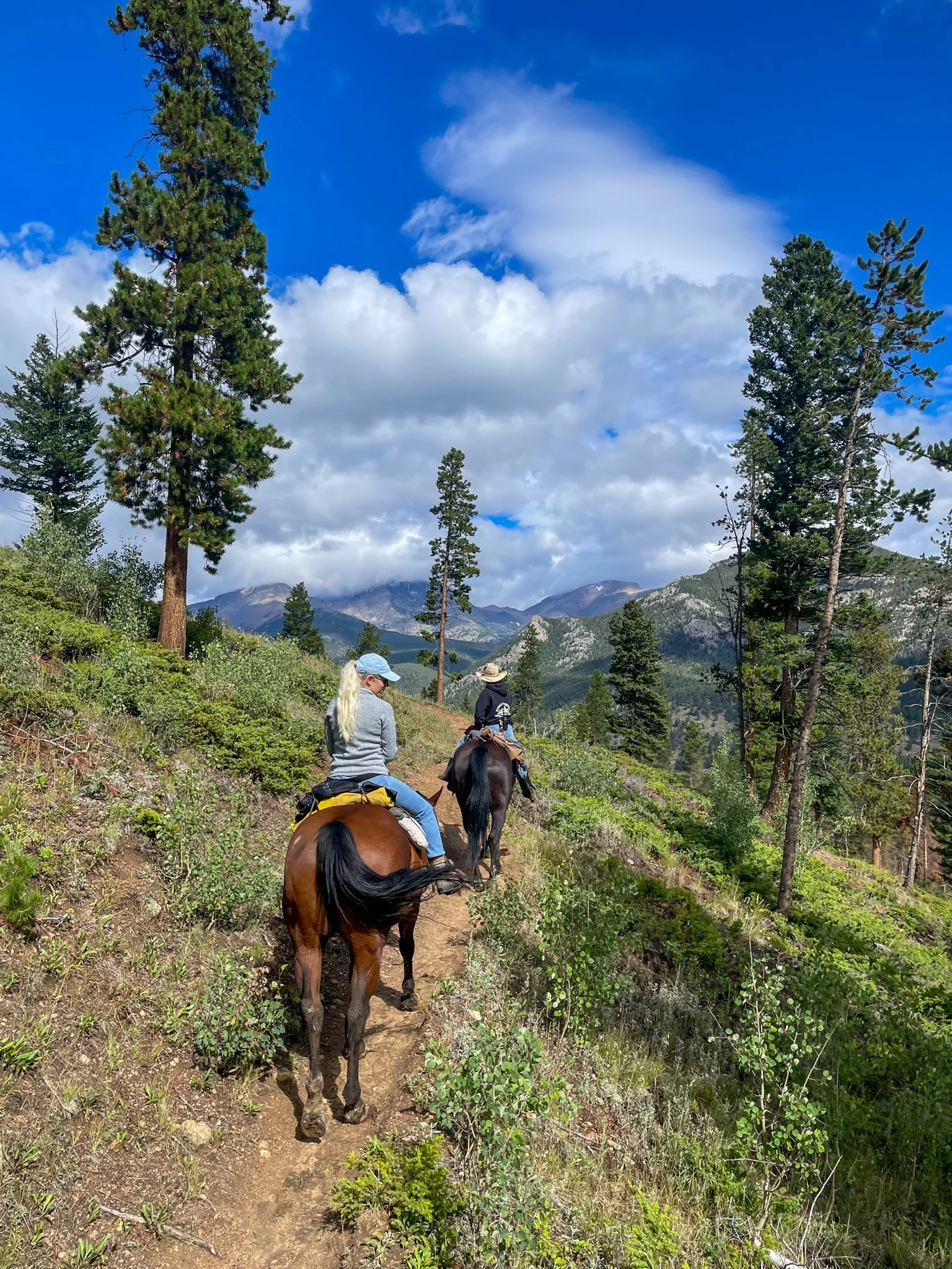
George and I set out on the trail and although I had some nervous butterflies, I was very grateful to be back adventuring in Colorado. The first 6 miles were a gentle grade road that there were many hikers and bikers on. This also must be a popular trail running spot that people were finishing up their long run on. I had never explored this area while living in Colorado for six years so I was excited to see something completely new.
After those lovely 6 miles the trail started to go up up up. This was not on any particular actual trail rather it was a road old Forest Road made out of rocks that were nearly impossible for me to cycle up. At one point, I unclipped and had to walk my bike up some of these steep sections more than I thought.
This is what narrators call ‘foreshadowing’.
Once up the steep incline, it then became switchbacks on ridges. This means it was a skinny trail that had hairpin turns. In reality this looked like I rode when I could but primarily i was getting on an off my bike at revert hairpin turn as it was too tight. I saw other bicyclists doing this without getting off of their bikes an early indication that my skill set was not there.
As expected, from the top it was then switchbacks down. And although I originally thought that downhill would be substantially easier than uphill - on a mountain bike sometimes that is not the case. I rode my brakes all the way down because of my lack of experience and knowing what each small rock on the trail would do to my bike at speed. Again, I had to get off for the hairpin switchback turns. So this slowed me down a bit more.
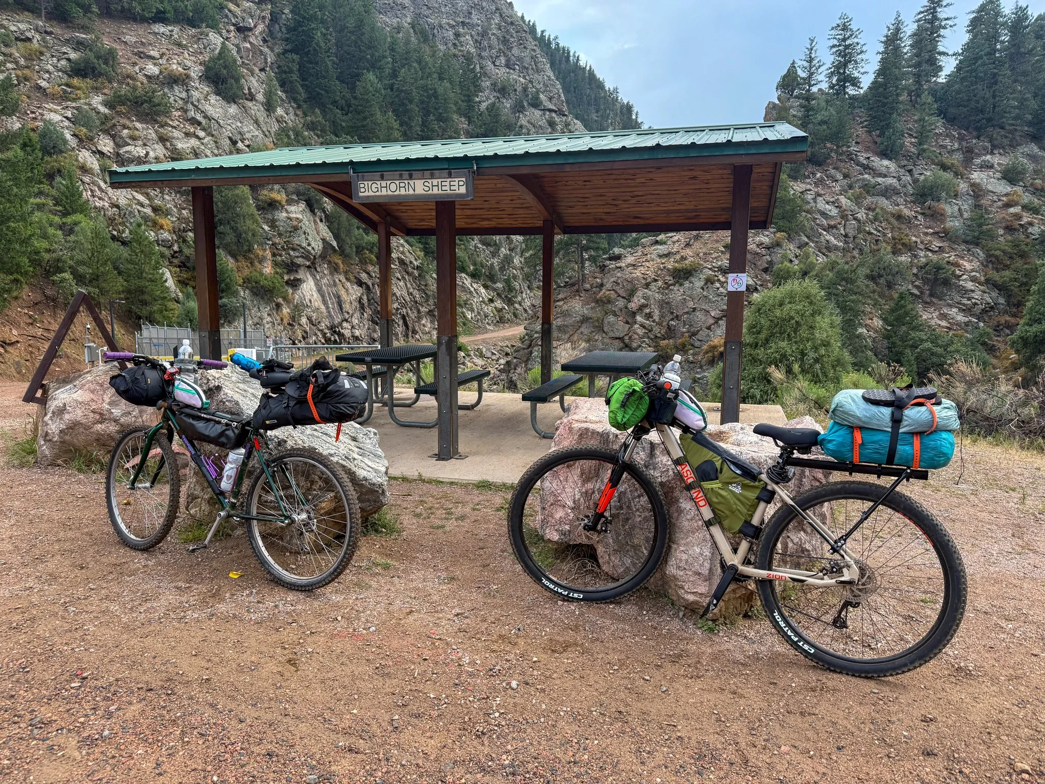
I was thankful that our planned campsite was available and nearly at the bottom of the descent for the day. I arrived at camp and George was setting up his sleep system and he looked at me with a huge smile and said “that was some of the most fun I’ve ever had in my life”.
When I actually wanted to tell him “I was scared and I don’t think I have the skill to do this” so instead of that I said, “Yeah, it was beautiful.”
Camping that night felt like any other backpacking or hiking trip I’ve been on so that was a comfort in familiarity. And I’m happy that I brought my waterproof tent because once I got snuggled in for the evening, it began to rain.
Day 2:
Trail Daily Miles: 28.5
Elevation Gain: 3485 ft
Elevation Loss: 1698 ft
Weather: Sun, Warm
Overall Day Sentiment: Ouch.
Waking up, I was more sore than I realized. After just coming off the Appalachian Trail and a section hike of the Pacific Crest Trail, I thought that I was in good shape. Hiking shape does not necessarily translate to cycling shape.
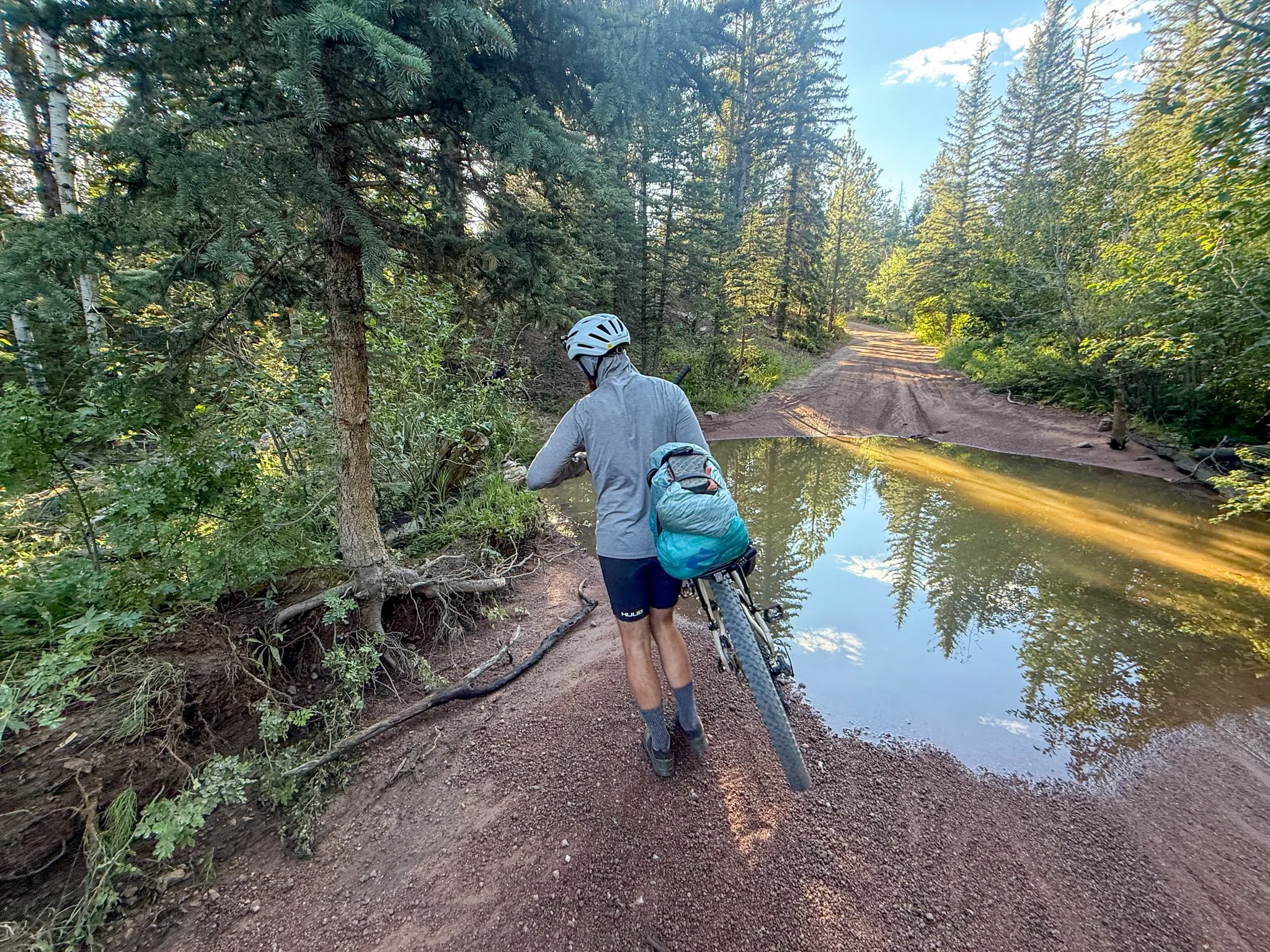
George and I set off on the trail and he was, of course, very much ahead of me. We had planned a few different stops that he would wait for me and we would continue on together or at a minimum check in with one another. Within the first mile, I again realized that I was perhaps in over my head. Reading online reviews of this trail many people discussed “hike a bike” phenomenon on a few different sections of this trail. This just means the trail necessitates that you get off your bike and hike… the bike up the mountain. This could be because the incline is too steep for a bike or there are such big rocks/boulders that it is impossible to get the bike up without lifting it up.
I stumbled upon a hike-a-bike section quite quickly and there was George sitting on a rock waiting for me. This rock that he was sitting on was very tall, perhaps 4 to 5 feet. There would’ve been no way my shoulders were strong enough to lift this bike up this rock so George waited to help me hoist it up. I continued to hike the bike for over an hour at this point. And though cycling is inherently quicker than hiking it is not when hiking with a heavy bike. I was doing very slow miles.
Finally, the trail somewhat leveled out, and I was on a few switchbacks going up to the peak of the climb. I had already decided that I was not going to clip in my shoes at all because I was not proficient enough with the pedals to safely clip in and out if I hit a bump that I couldn’t handle. So I would just use the clip in portion of my shoes and pedals for road sections.
There was a branch that was over hanging over the trail, about a foot, and on a skinny ridge line that is half the width. Though I tried to avoid this branch, I got clothes lined by it. This bumped my back tire onto a rock which sent me over the edge.
It is one of those moments that goes by in slow motion because of how much adrenaline is running through your body. Simultaneously - suddenly and very slowly I was 6 to 8 feet off the trail down below the trail. As I lay half covered with this bike, I’m taking note of my entire body. I had hit a tree, which is what stopped me from sliding down further. I’m very thankful that I had a helmet on as my head hit hard ground.
It took me a couple minutes to untangle myself from the bike and then drag the bike back up to the trail. I looked down to see my hand was profusely bleeding as I had sliced my finger open. There was blood on my bike and it looked very dramatic though I felt okay. I was near the top of this peak and at this point, I just walked my bike up to the ridge as I was still a bit wobbly on my legs.
And I see George waiting for me, sitting on a wide rock looking out at a beautiful view. He turns around with a giant smile on his face while I say “I had a proper crash and I’m bleeding”.
We clean up and bandage up my finger. The slice was very clean, but because I have been exercising, my hands had a lot of blood pumping through them. It looked worse than the injury. So we get settled back on our bikes and down this descent to a road with a trailhead. Where we could formulate a new plan.
I’m tried to ride as much as possible down to get me off this mountain so I could recuperate on a flat surface. While doing so, I noticed that my tailbone and pelvic area are hurting a lot. Fun fact: The only bone I’ve ever broken in my life is my tailbone in elementary school. Biking for a long periods of time does have a tendency to hurt my tailbone which forces me to angle my pelvis in a different way to not bump my tailbone too much. But now when I angle my pelvis, the way I typically do to save my tailbone, my pelvis is in a lot of pain.
I get down to the trailhead and there are several people there in addition to George talking cycle trips. Here I am, busted up on day 2 - I hate feeling inferior or incompetent, though in this case I was both. George and I make a plan to ride on the road around the next climb so that I can continue to get situated back on my bike because I’m still rattled. We end up in Buffalo Creek and stop at a tiny store. I eat an entire pint of ice cream because that’s not only what my body wanted it was also what my mind needed at that time.
We take roads and reconnect with the Colorado Trail, which is actually just another road all the way to Wellington Lake area. We got an overpriced campsite, but it was a good space to figure out what our next steps would be.
This is when after a nearly 30 mile day that took all day we realized that maybe this trail is too technical - specifically for me. In my tent that night I looked down at my pelvis, and I saw slight bruising on my pelvis and my inner thighs, which would explain why it is so sensitive. On the actual fall, I bumped off of the bike seat onto the bar below which caused trauma to the area.
Welp.
Day 3:
Trail Daily Miles: 40.9
Elevation Gain: 4369 ft
Elevation Loss: 4456 ft
Weather: Sun, Hot
Overall Day Sentiment: Failure but a lesson
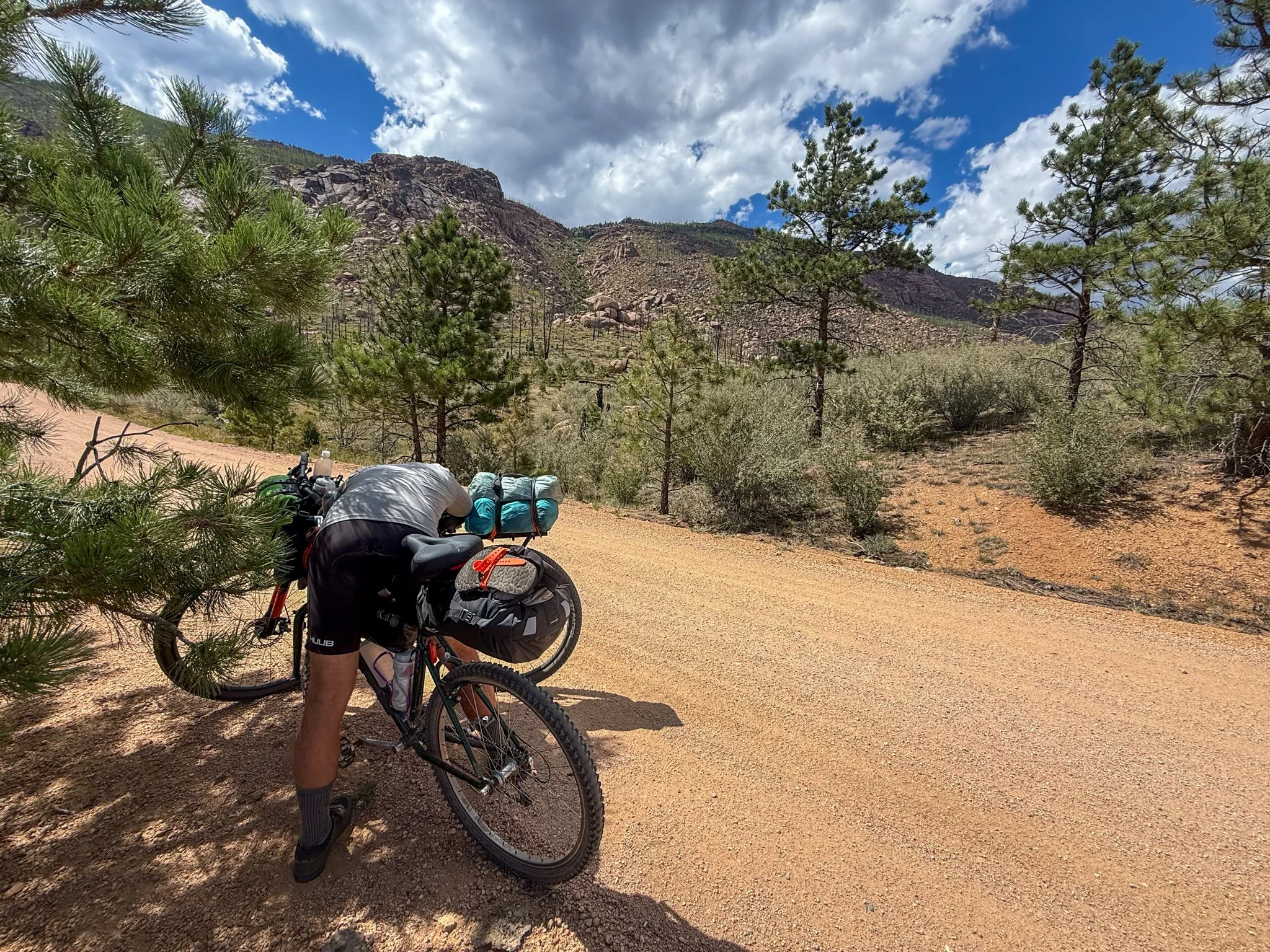
The day started out with a pretty sincere incline up to Stony Pass, which was appropriately named as it was old road that was mostly rocks. I started the day straight away hiking the bike up this incline. It was so steep at points, George actually had to get off the bike to walk it as well.
If you’ve read any of my trail journals before you know that I do love a good cry, and whether I’m happy or sad, typically tears are involved. Unfortunately, this was the sad frustrated tears that came at the top of this initial climb for the day. I was finally realizing that not only did I not have the technical skills for this ride I also was injured. Every bump I hit, my pelvis sincerely hurt.
At 9 miles in for the day, we stopped to take a break and George sat me down and we made the decision to call it. I used my Garmin satellite communicator to text Sarah to meet us later in the day to pick us up. Luckily, we were in a wilderness area reroute so there were some accessible roads to us. This would still put us at an over 40 mile day with significant climbing.
Once the decision was made and I accepted a failure, I had a better day comprised of the 30 remaining miles. This part of the trail went primarily on gravel roads up and down constantly. Climbs were slow for me, but the down hills were very fun (as long as I was standing and removed my butt from the seat). The problem at the actual bottom of the descent was these were gravel pits. I had to be mindful of how quickly I was going when I hit these pits because they functioned as a complete break for the bike. I was already injured enough, I didn’t need to flip over my handlebars.
We had lunch near a river in the shade because on this day the sun was intense and there were a few trees to be had. My thighs got particularly sunburnt because of the positioning on a bike. There were moments the rest of the day that I did not think that I was actually going to be able to tackle the miles. My legs felt completely tapped out (hello, White Mountains on the AT) but the last seven-ish miles ere on pavement and I have never cycled so quickly. That was very pleasant so perhaps… I am a road cyclist?
Sarah met us at our satellite communicated spot with treats and condolences for our failed trip. Again, I’m so thankful to have friends that support me on some of these crazier adventures.
When we arrived back at Sarah‘s house, there was a huge dinner waiting for us, which was such a treat. In the shower, I was able to examine thoroughly the damage caused by my crash, and though I’m disappointed that the trip ended when it did, seeing the bruising made me realize that quitting the trip was the correct move. I was only going to be injuring myself further if I had continued on.
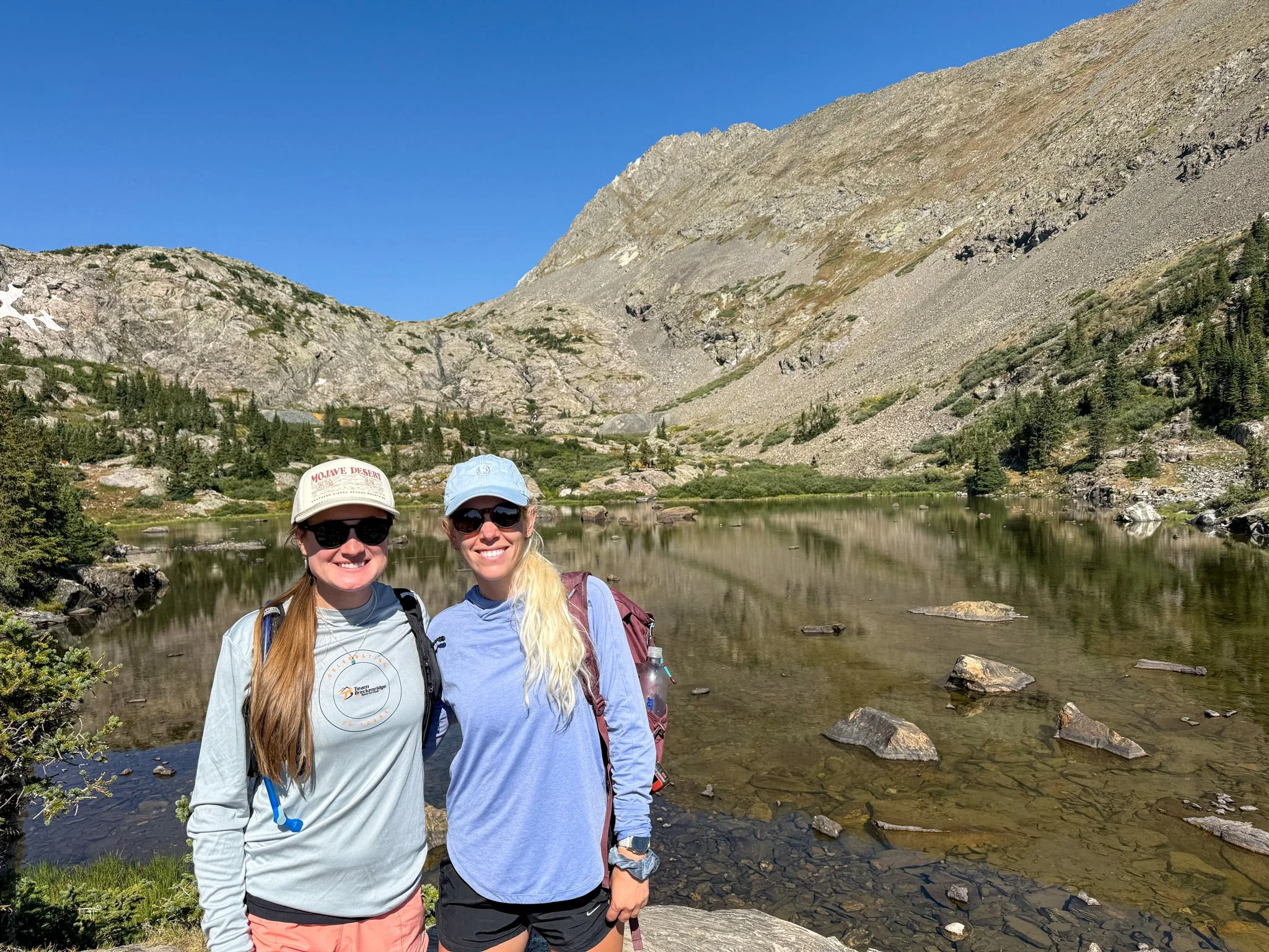
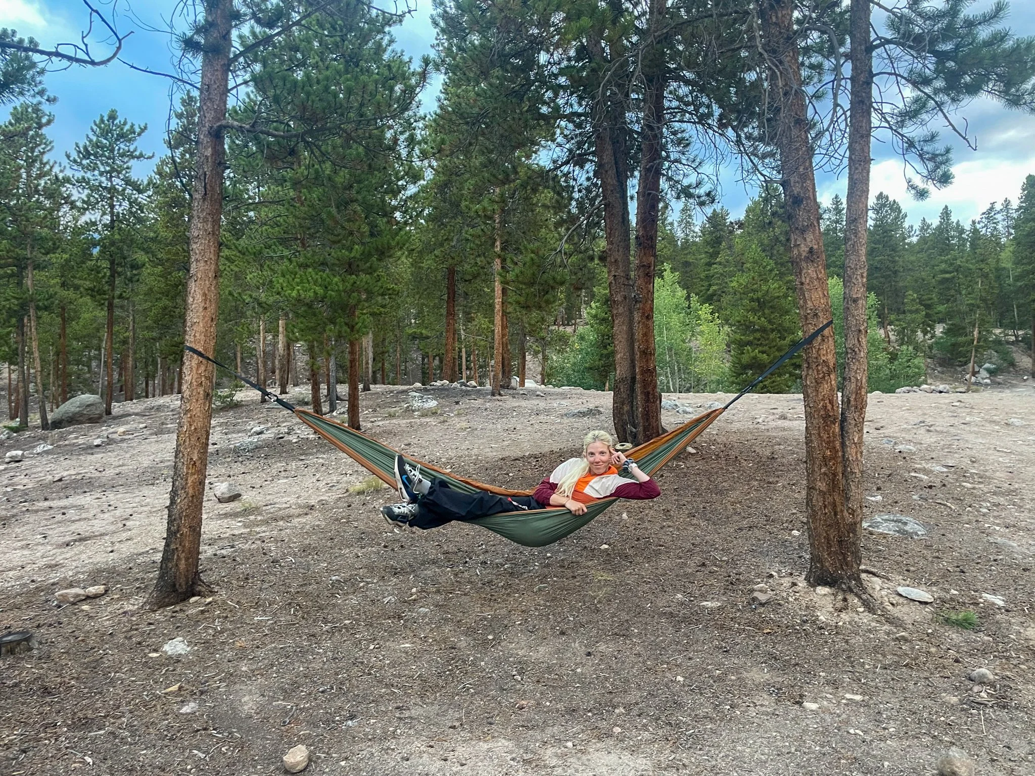
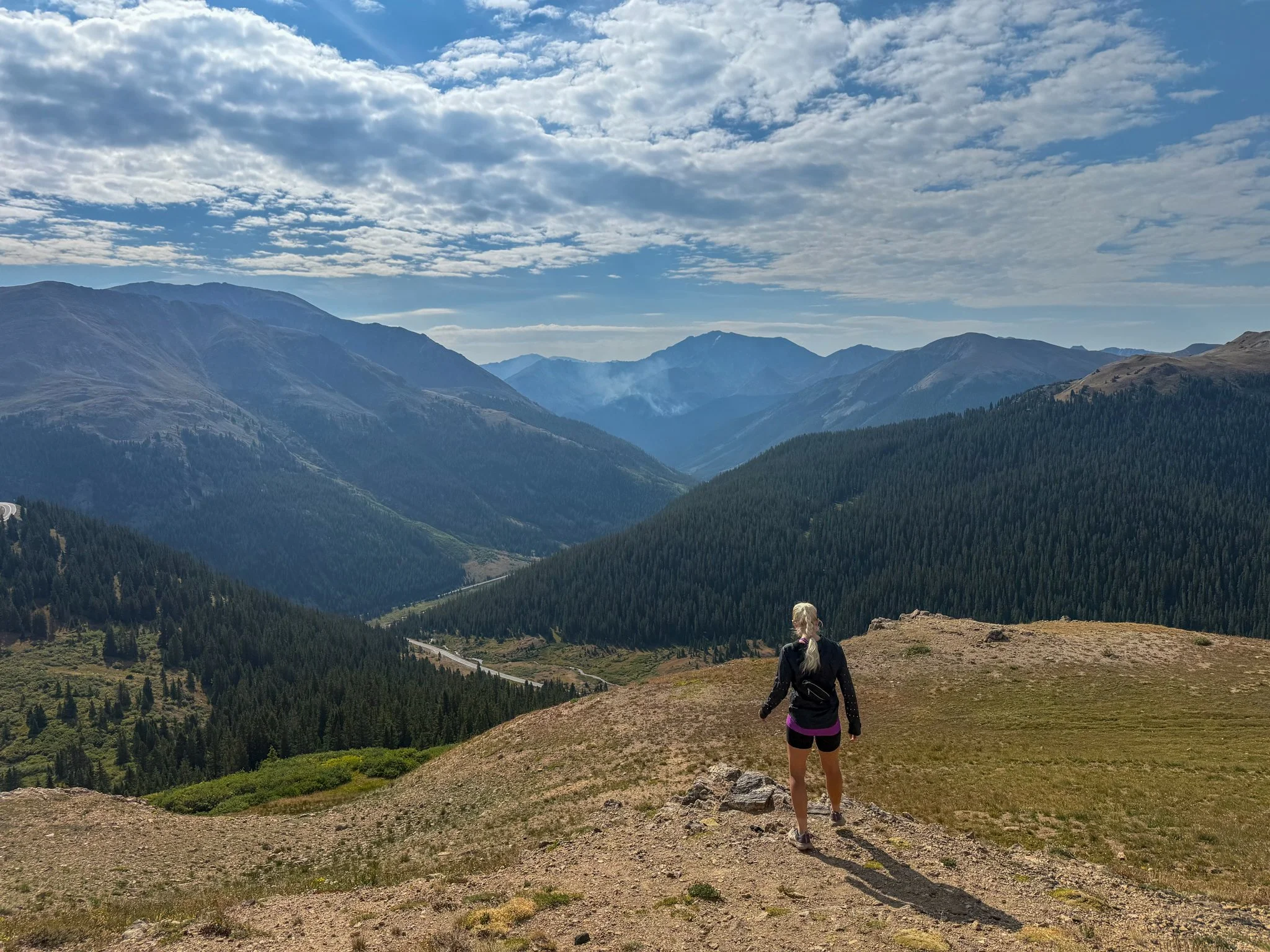
That night George and I made a plan to not waste the two weeks we had planned in Colorado, but rather create a road trip that went to most of the same cities that the Colorado Trail Bike Route went through and do day bikes and hikes from trailheads. He wanted to cycle more and I was only able to hike. I also had a marathon coming up mid-October so this was great altitude training for me to go on a few runs as well.
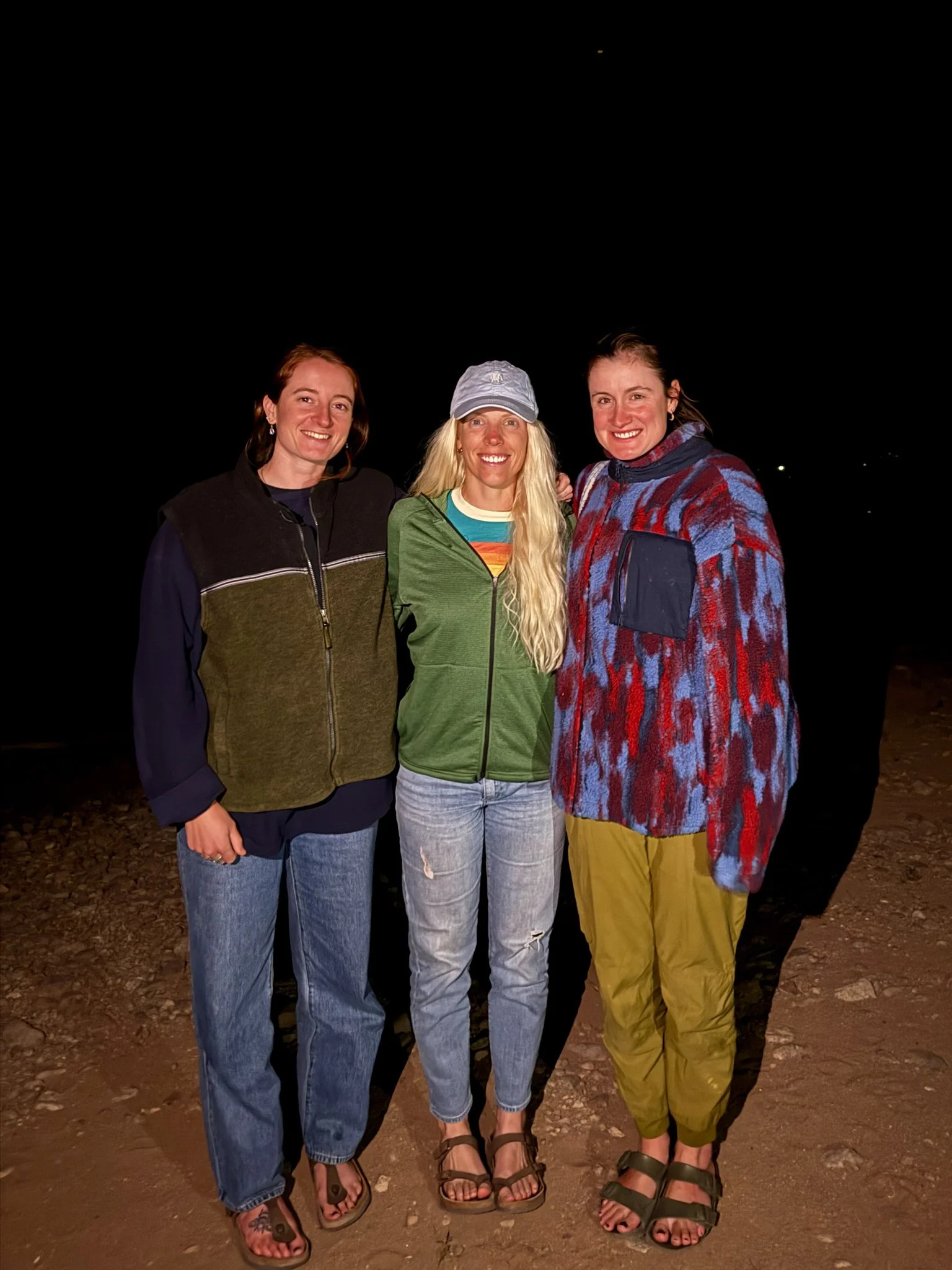
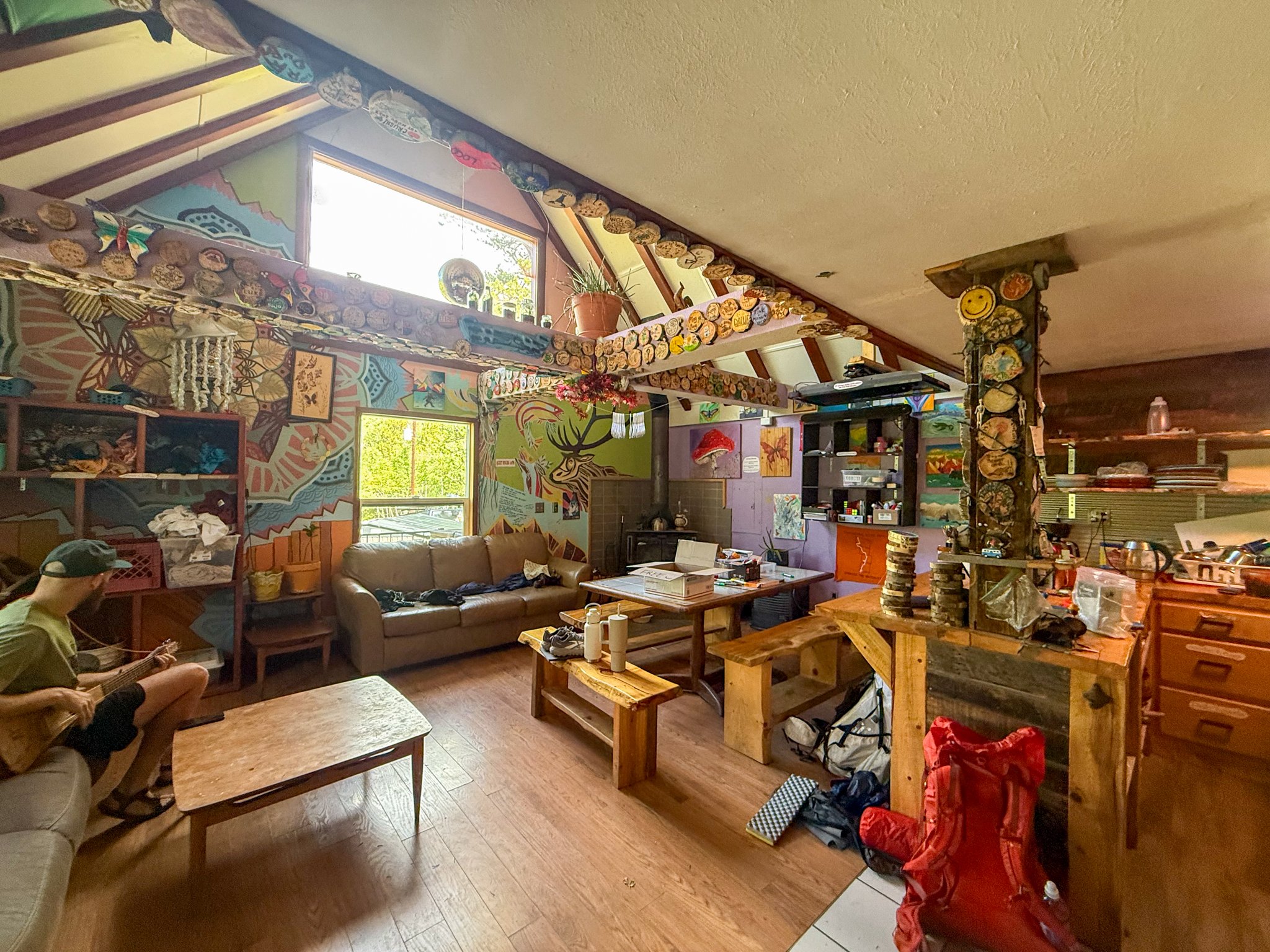
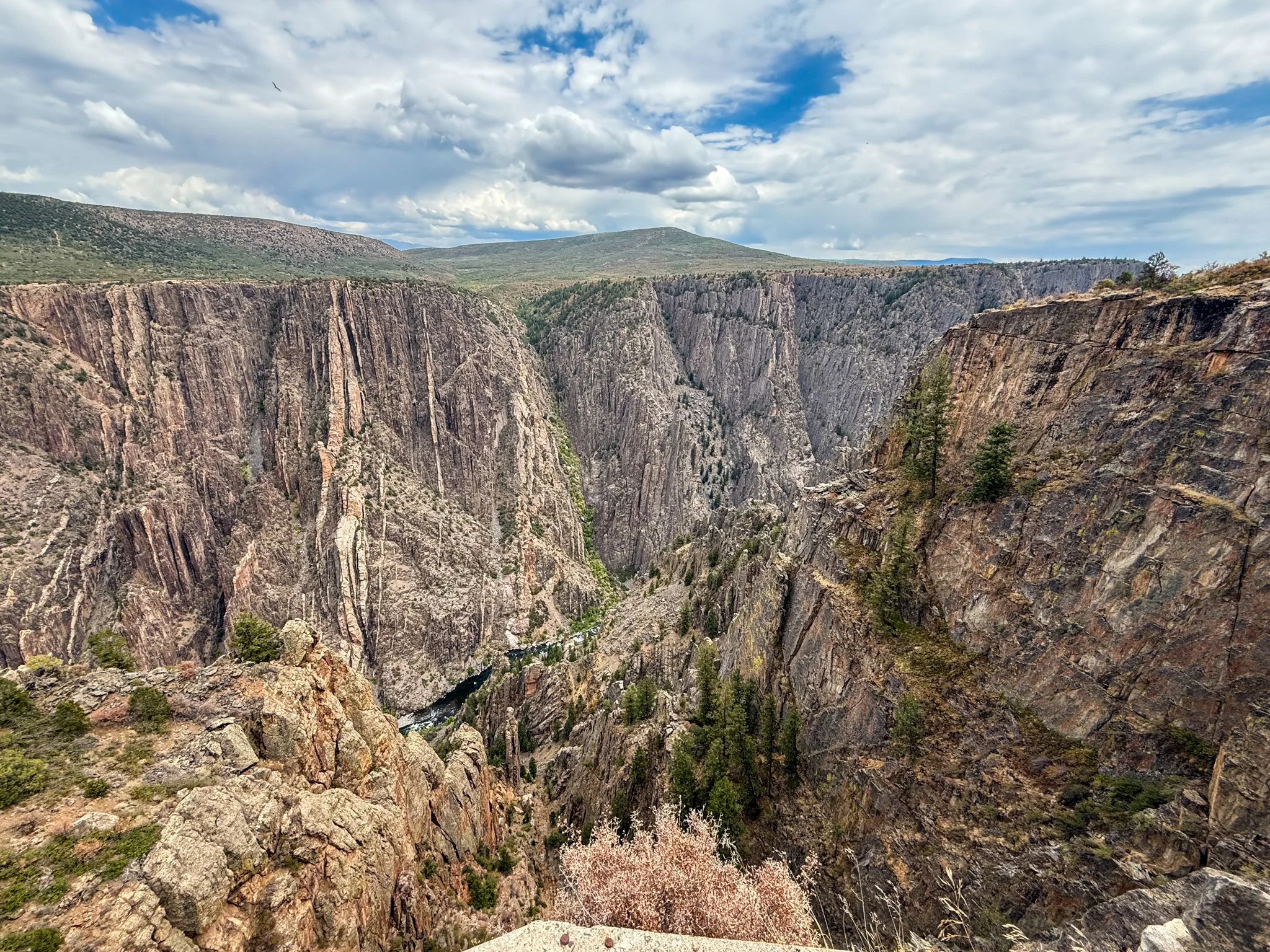
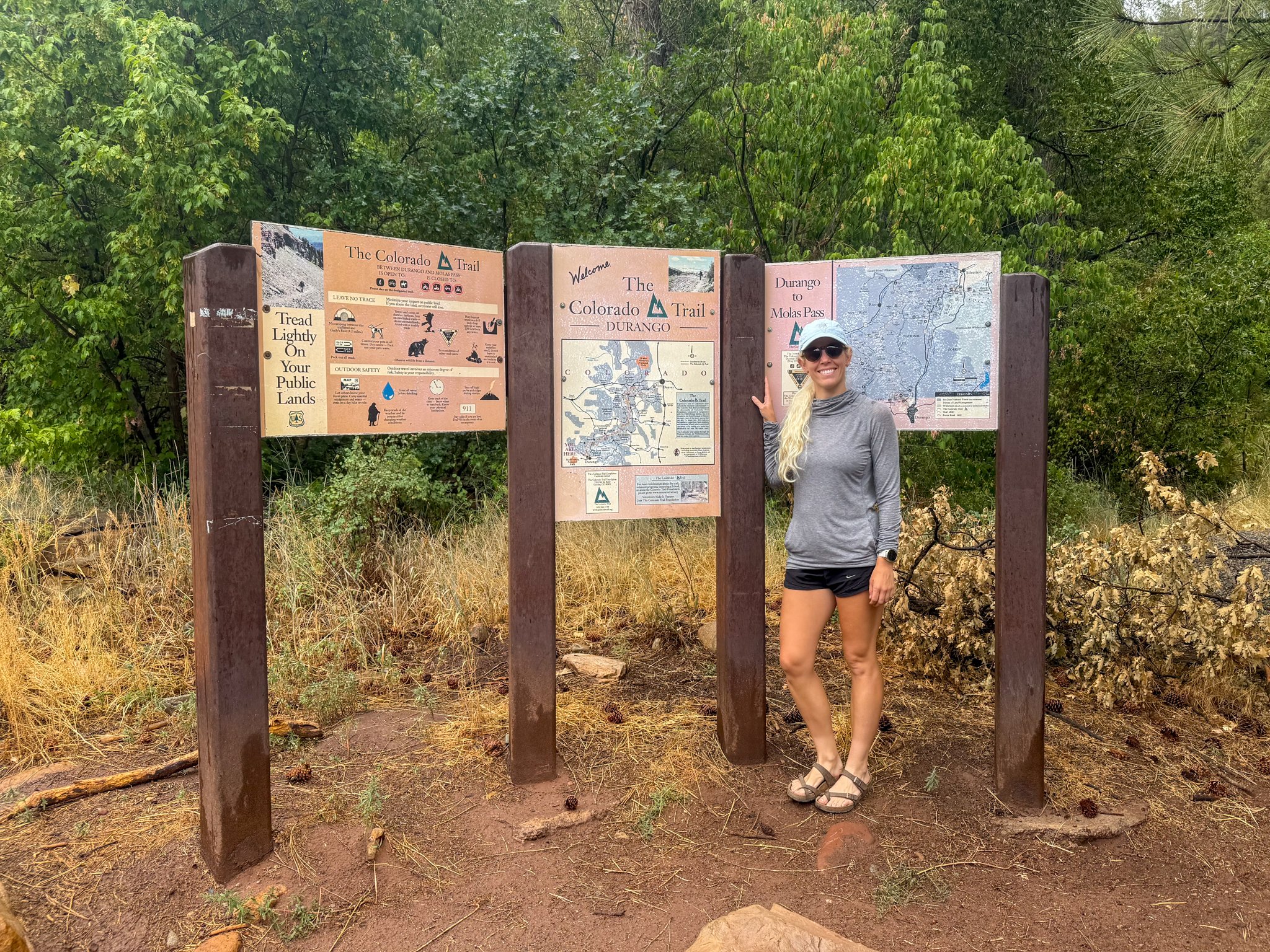
Throughout this Colorado road trip, we stopped to Breckenridge, Leadville, Crested Butte, Salida, Buena Vista, Silverton, Ouray, Durango. We went to the southern terminus of the Colorado Trail and took a picture with the sign. I saw friends in several of these spots and am so thankful for how the trip turned out!
Since:
After a recovery period, I went been mountain biking in Michigan, on a much tamer trail. Ya know, more my skill level. I will continue to mountain bike for short day adventures, but I doubt a large mountain bike packing adventure is in my future. Road bike packing though… I could be convinced.