INTROThe Continental Divide Trail is a National Scenic Trail spanning approximately 3,100 miles from Mexico to Canada (or vice versa) through Montana, Idaho, Wyoming, Colorado, and New Mexico, following the geological continental divide.
NOTE
I am hiking the Continental Divide Trail southbound from Canada to Mexico. This trail will complete my Triple Crown of hiking, which includes both the Appalachian Trail and the Pacific Crest Trail.
Unlike the Appalachian Trail and the Pacific Crest Trail, the Continental Divide Trail is somewhat of a choose your own adventure. Alternatives routes, and A variety of options allows this trail to be more fluid. I will do my best to explain the routes that I take in the detailed section.
Ridge walks
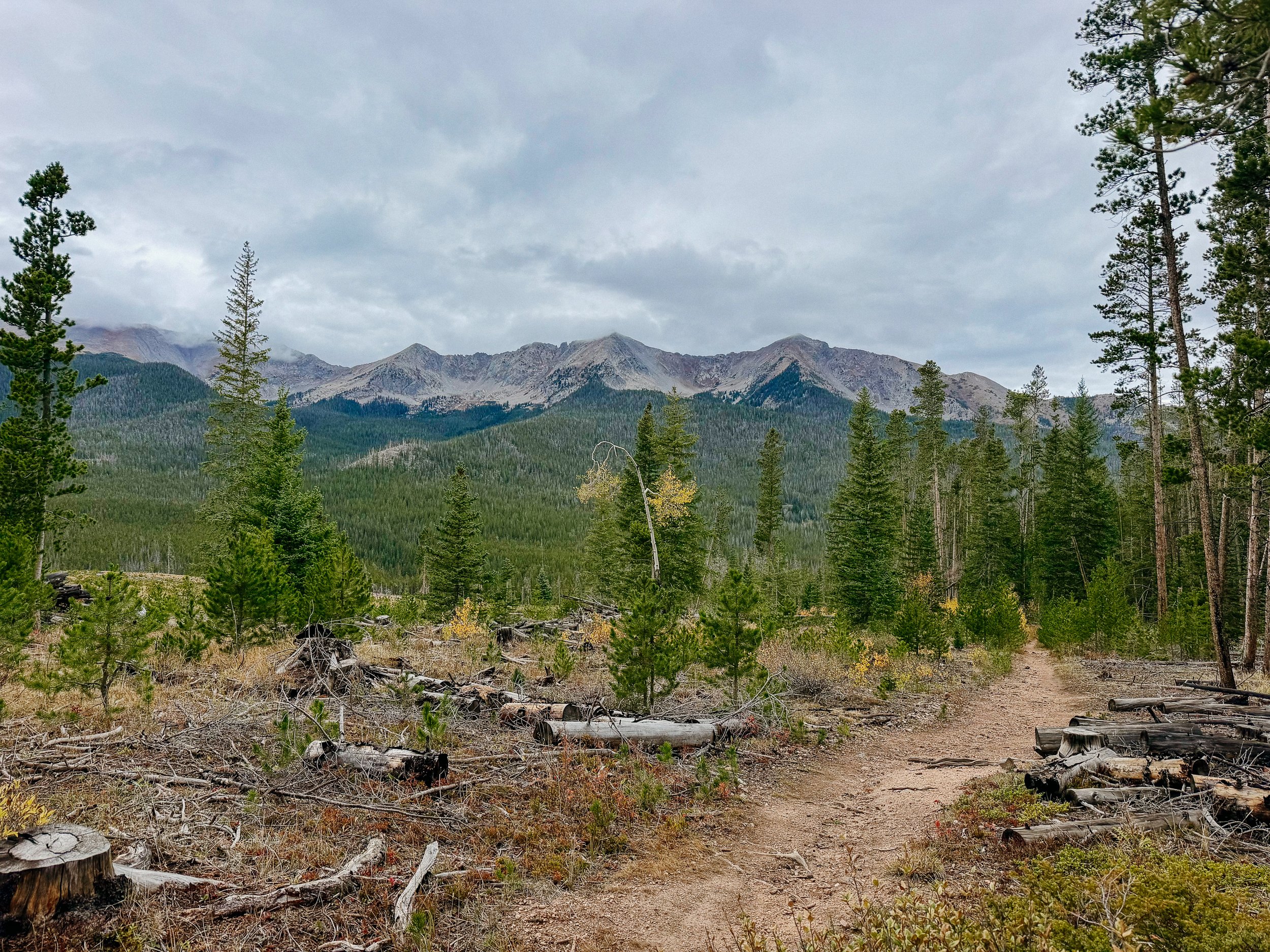
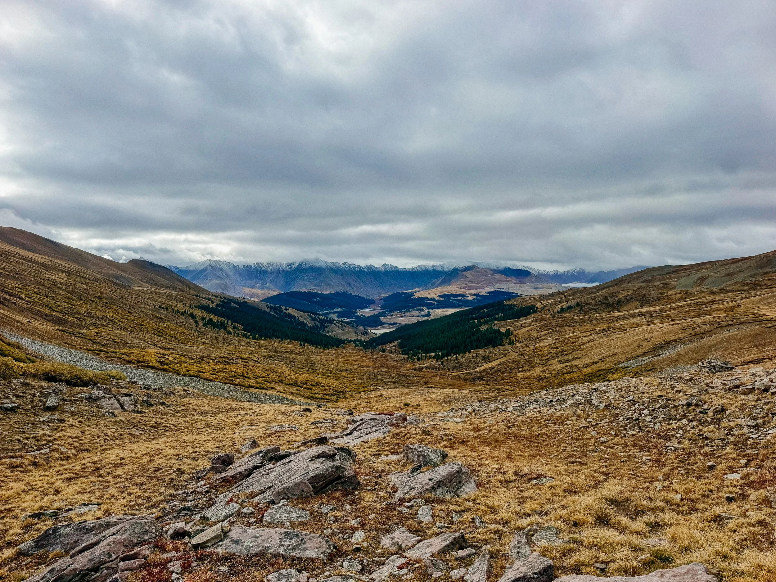
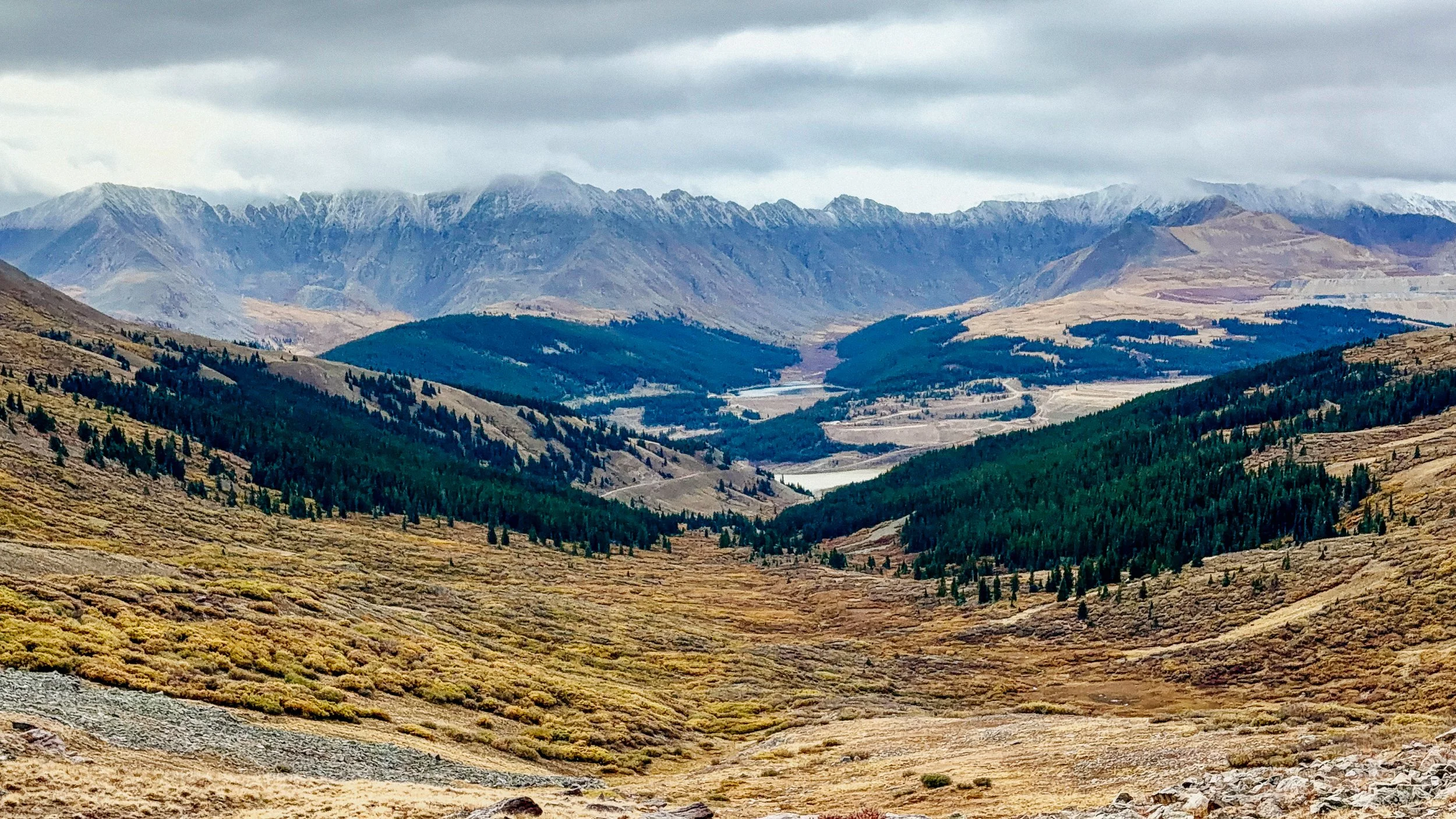
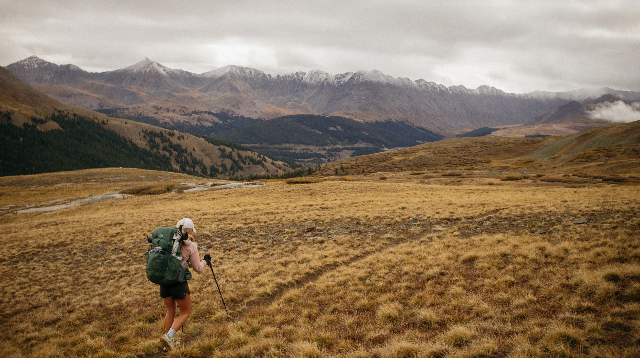
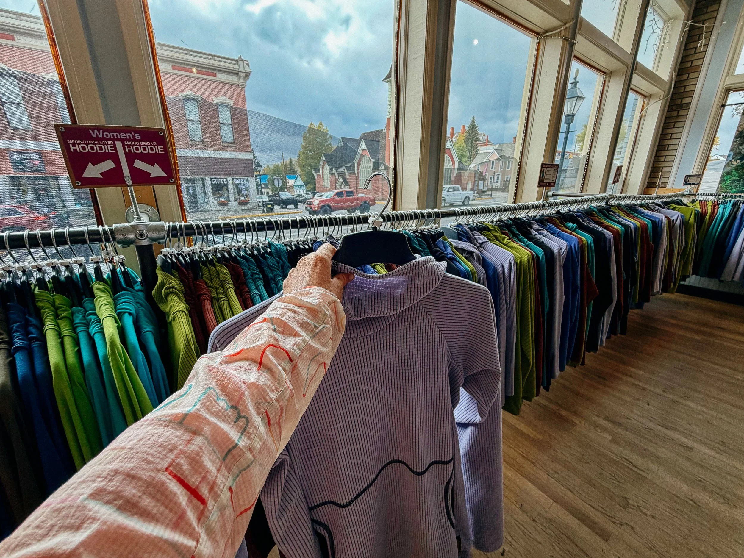
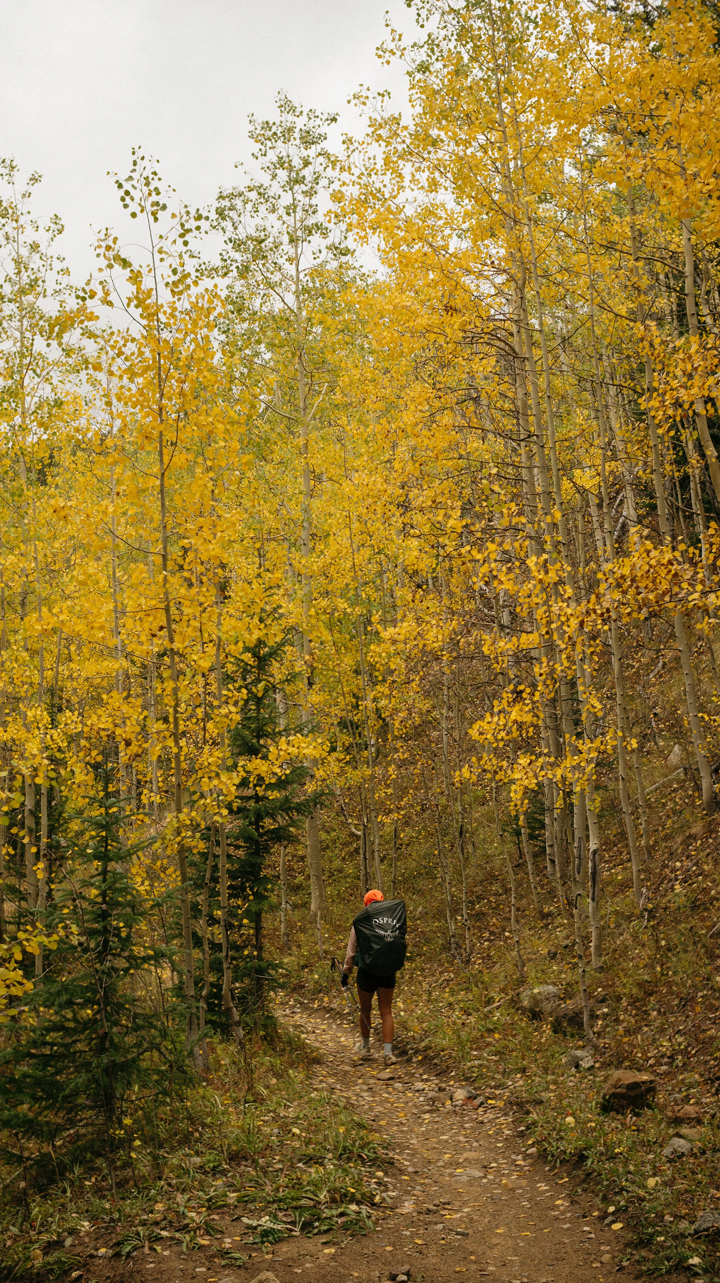
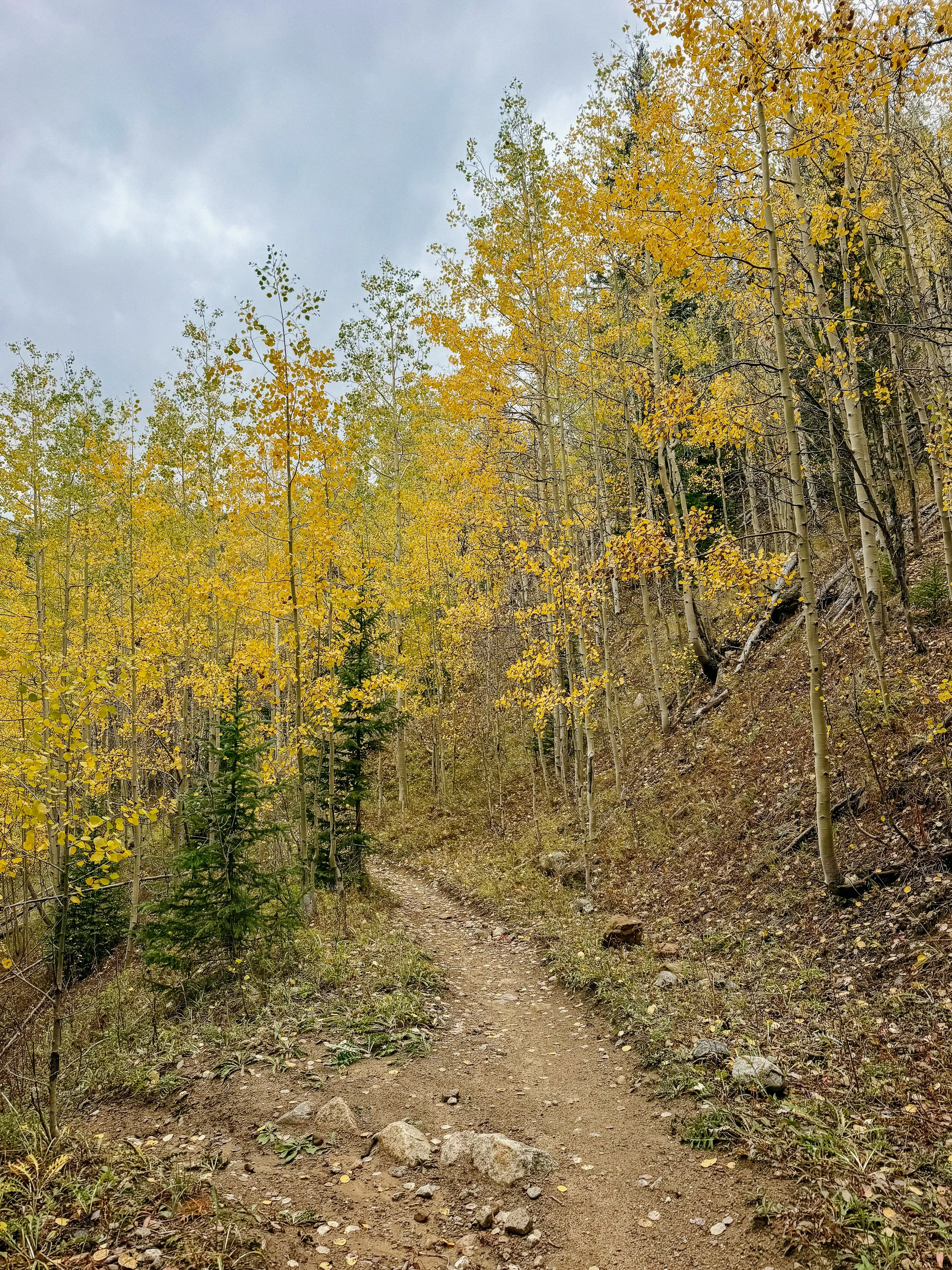
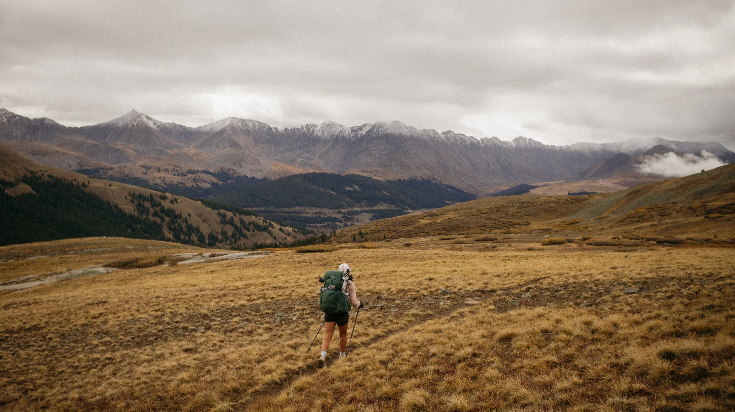
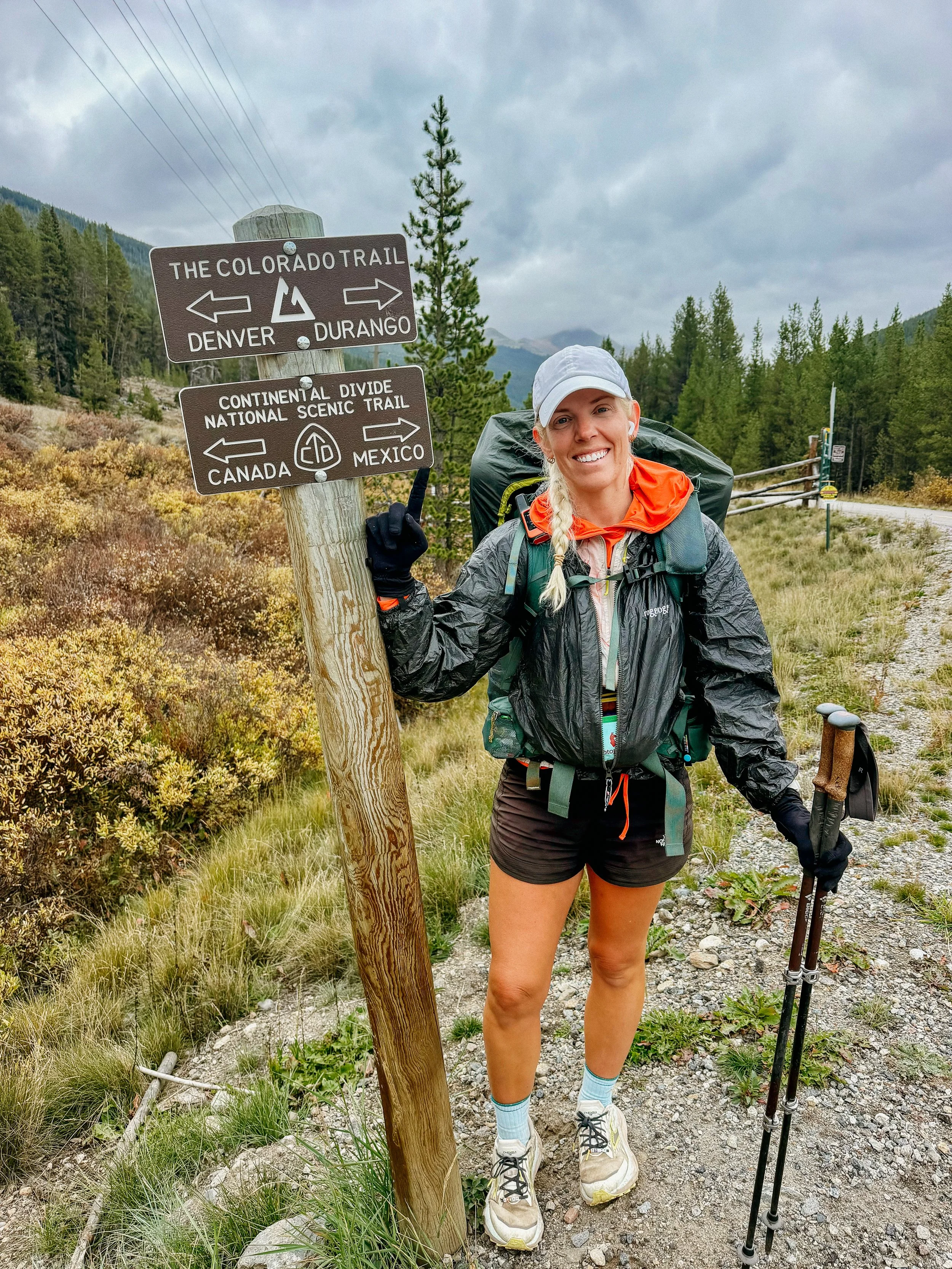
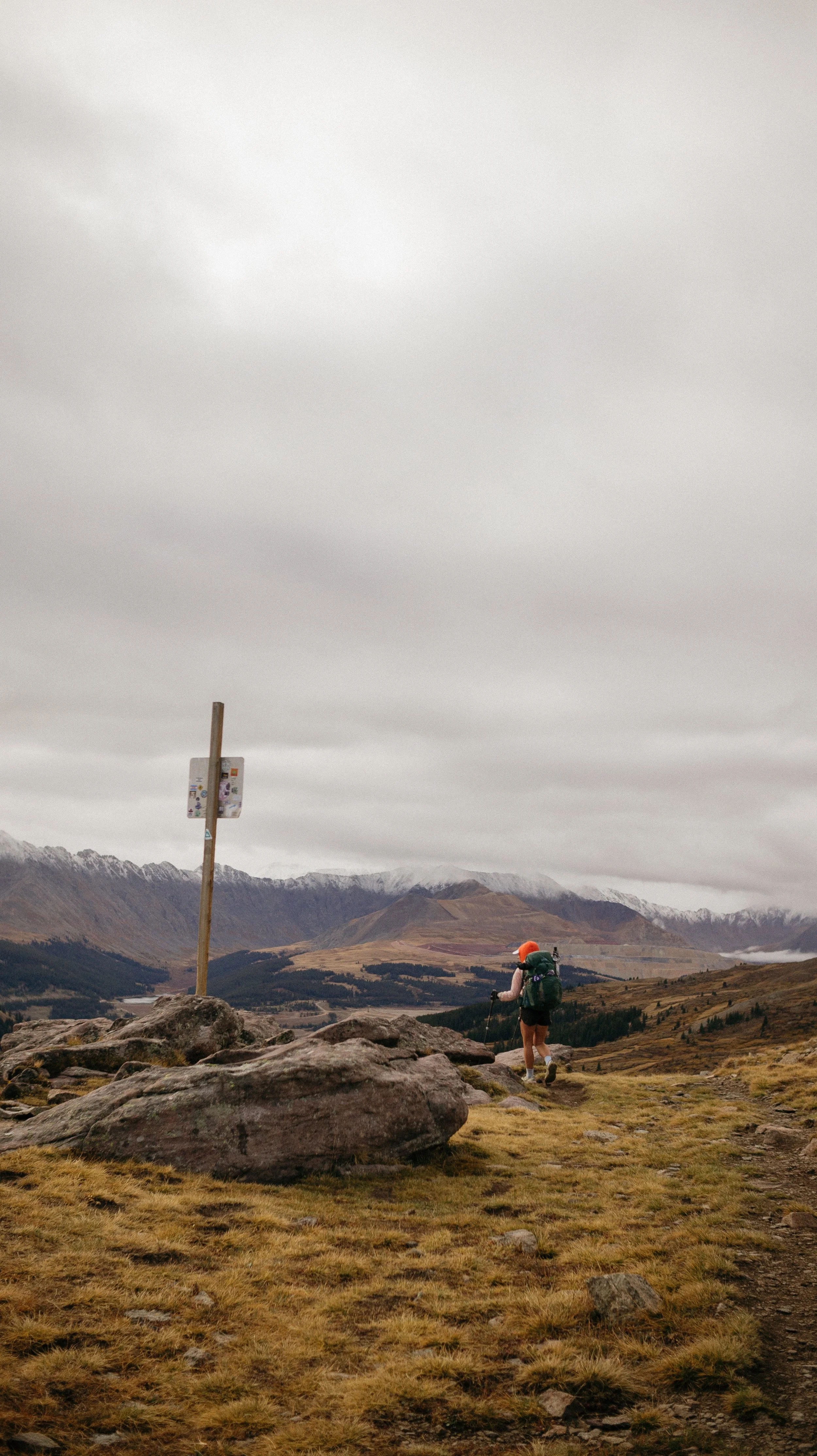
Day 91-93 took me from Breckenridge to Leadville. This was a short section but full of beauty. High ridgelines, changing aspens, and cute animal sightings were the highlights. More intense weather forced my hand of going into town early but this lead to a fun slackpack day. Of course I got my Melanzana to celebrate arriving in Leadville.
OVERVIEWTOTAL DAYS3
FULL HIKING DAYS3
zeroes0
neroes0
TOTAL ELEVATION GAIN10,807 ft
TOTAL ELEVATION LOSS10,390 ft
MILES COVERED62.3 miles
-
Adapting to the weather and being flexible with my plans
Getting my Melanzana!
Visiting Leadville, love that area of Colorado
Seeing my PCT friend 😃
-
The weather? Why so rainy!
Copper Mountain being completely shut down.
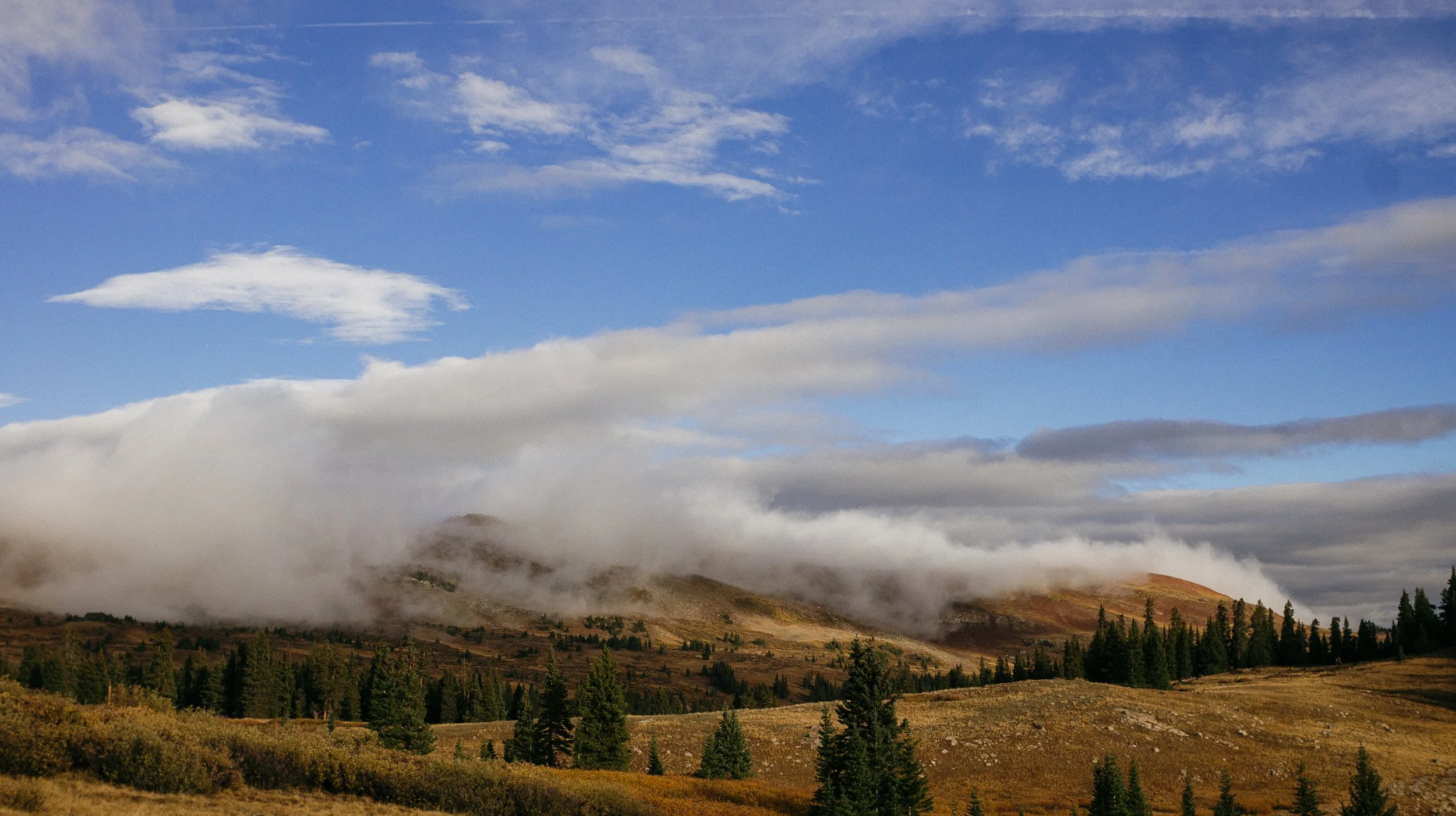
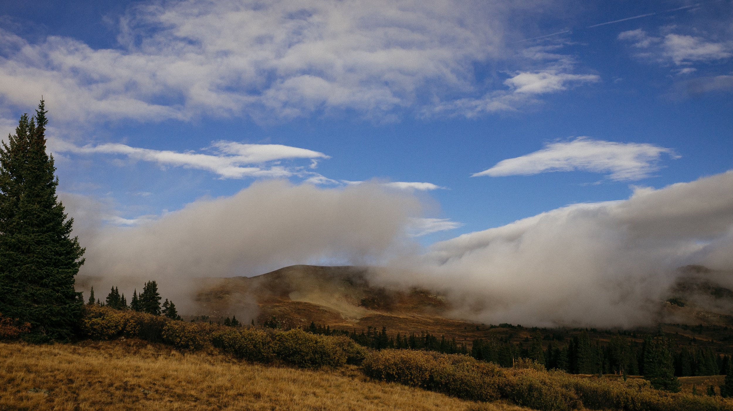
Cloud formations
In Depth
-
SLEEP: Camp at Mile 1814.8
MILES: 18.1
ELEVATION GAIN: 4682 ft
ELEVATION LOSS: 3451 ft
WEATHER: Rain, Cold
OVERVIEW: But why was Copper completely closed?
Leaving Breckenridge when there was an eight week old puppy in the house was difficult. But my friend Juice was so kind and drove George and I to the trailhead. This was sort of a mismatch of alternates. I took the teal map line into Silverthorne and then left from Breckenridge on the main redline. It was so good to see Juice and hear about her adventures as she continues being a bad ass patrol.
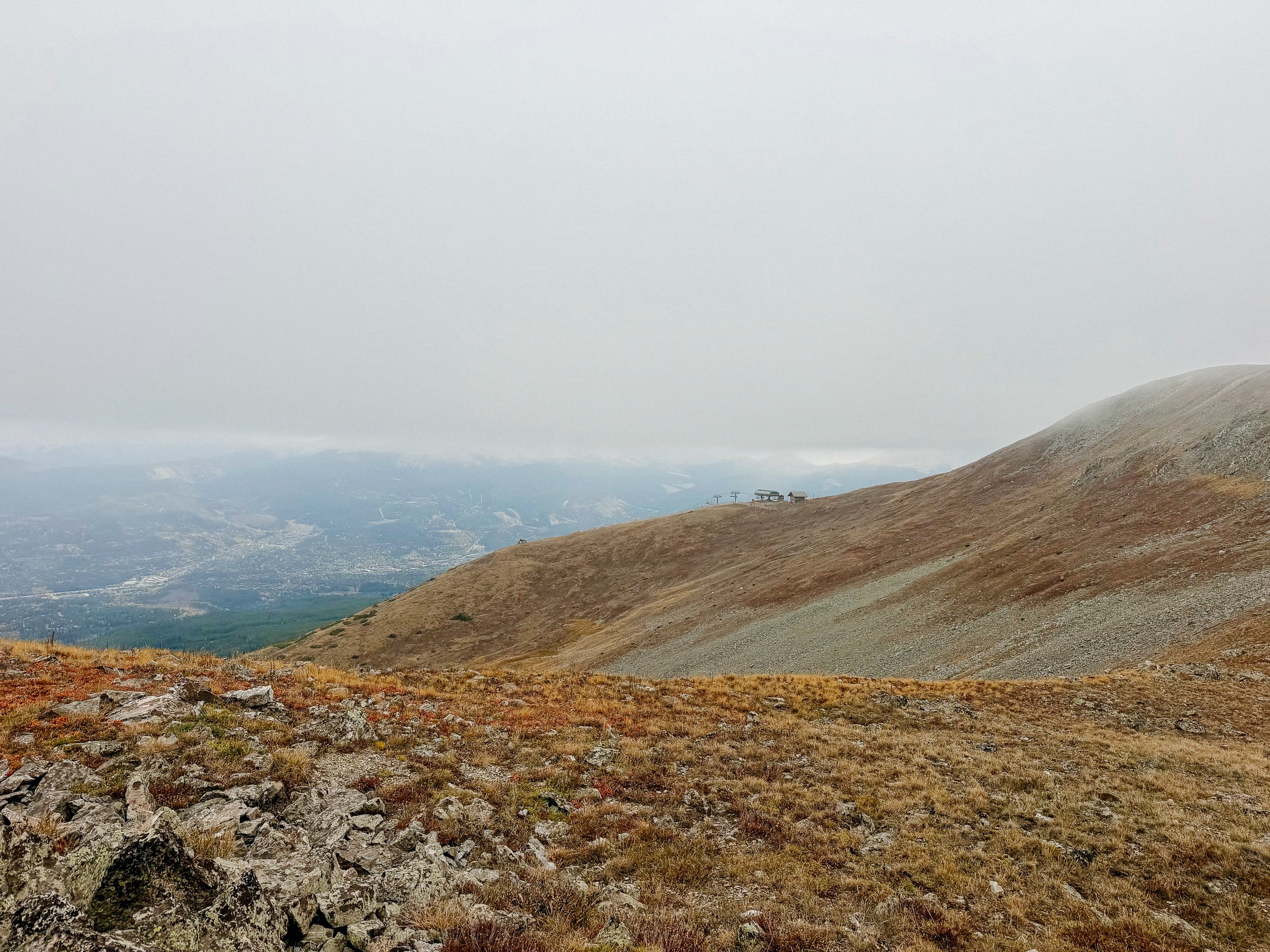
I had a relatively short day really just up and over Peak 4-8 mountains past Copper Mountain. Copper is a popular ski area, but this time of year is very dead.
The climb was completely manageable, and there were great pikas at the top. Just as I crested the high point of the day that’s when the weather started to roll in. I was so thankful that I was on my descent as the rain came and I got back into the trees.
As suspected Copper Mountain ski area was dead, even though so many places online that they were open. I was cold and just wanted a hot beverage!
I grumbled as I made my way the last few miles out of town. But I arrived at a decent campsite with a good water and got tucked in before more weather rolled in. I ran into Sundial and met Spirit who were a real treat at the end of the day.
I also finished an entire audiobook this day. It was a real page turner!
-
SLEEP: Hostel in Leadville
MILES: 21.1
ELEVATION GAIN: 2995 ft
ELEVATION LOSS: 3376 ft
WEATHER: Rain, Cold, Thunderstorm
OVERVIEW: Love a pivot
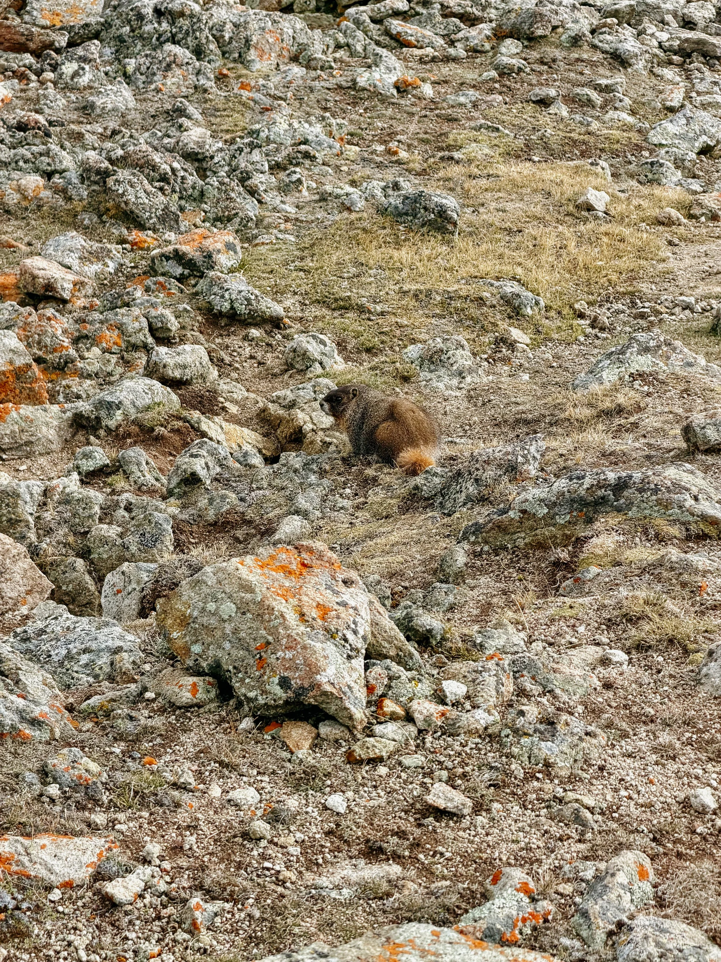
The next day began with a very gradual climb through some beautiful areas. I had loved this area when living in Colorado around Leadville and it was such a treat to hike the high mountains near. There were some of the best pika and marmot sightings I’ve ever had at the top for the day.
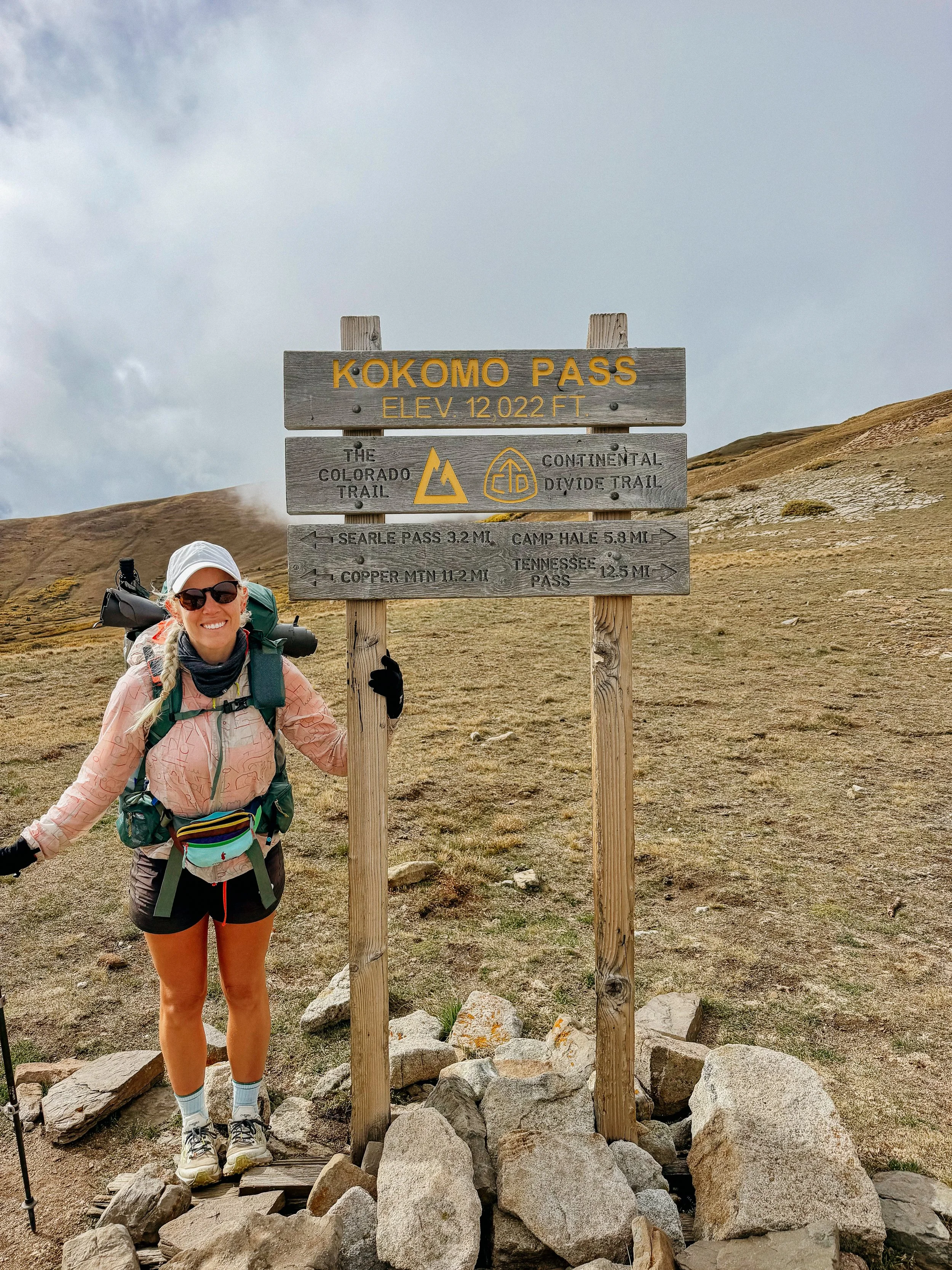
I crossed over Kokomo Pass, if you know, you know. And then began a big descent towards Tennessee pass. After a lunch near Camp Hale campground, the weather took a complete turn. I don’t know if it has rained that actually hard since Glacier National Park, but it was a deluge. I was still getting wet under my umbrella and just kind of miserable.
There was a fire closure in the area that had a lot of road walking coming up the following day. So because we had just had a double zero George and I planned to pass the main area one would typically get off the trail to enter Leadville and go in after the fire closure. Because it was such a deluge and we were completely wet, I had the idea of going into town that day drying off, warming up, and then slack packing (which means just a day pack), the following 23 miles that we were going to do the next day anyway.
So that’s what we did. We got to Tennessee pass and quickly got a hitch into town. Immediately went to the Melanzana store and got my right of passage micro grid fleece. They allow Colorado Trail and Continental Divide Trail hikers to buy a fleece or an article clothing from the main section without an appointment. This is such a great way to support hikers. I had some other gear that I needed to send home so I sent my brand new sweater and that gear home. Another chore done! Then I went to High Mountain Pies, which have delicious gluten-free pizza and brought it to the hostel. The first night it was full, so I camped in the back of the hostel, which was perfect. There were a couple other hikers there that were skipping around a lot so I have no idea if I would see them again.
-
SLEEP: Hostel in Leadville
MILES: 23.1
ELEVATION GAIN: 3130 ft
ELEVATION LOSS: 3563 ft
WEATHER: Sun
OVERVIEW: A perfect slackpack day!
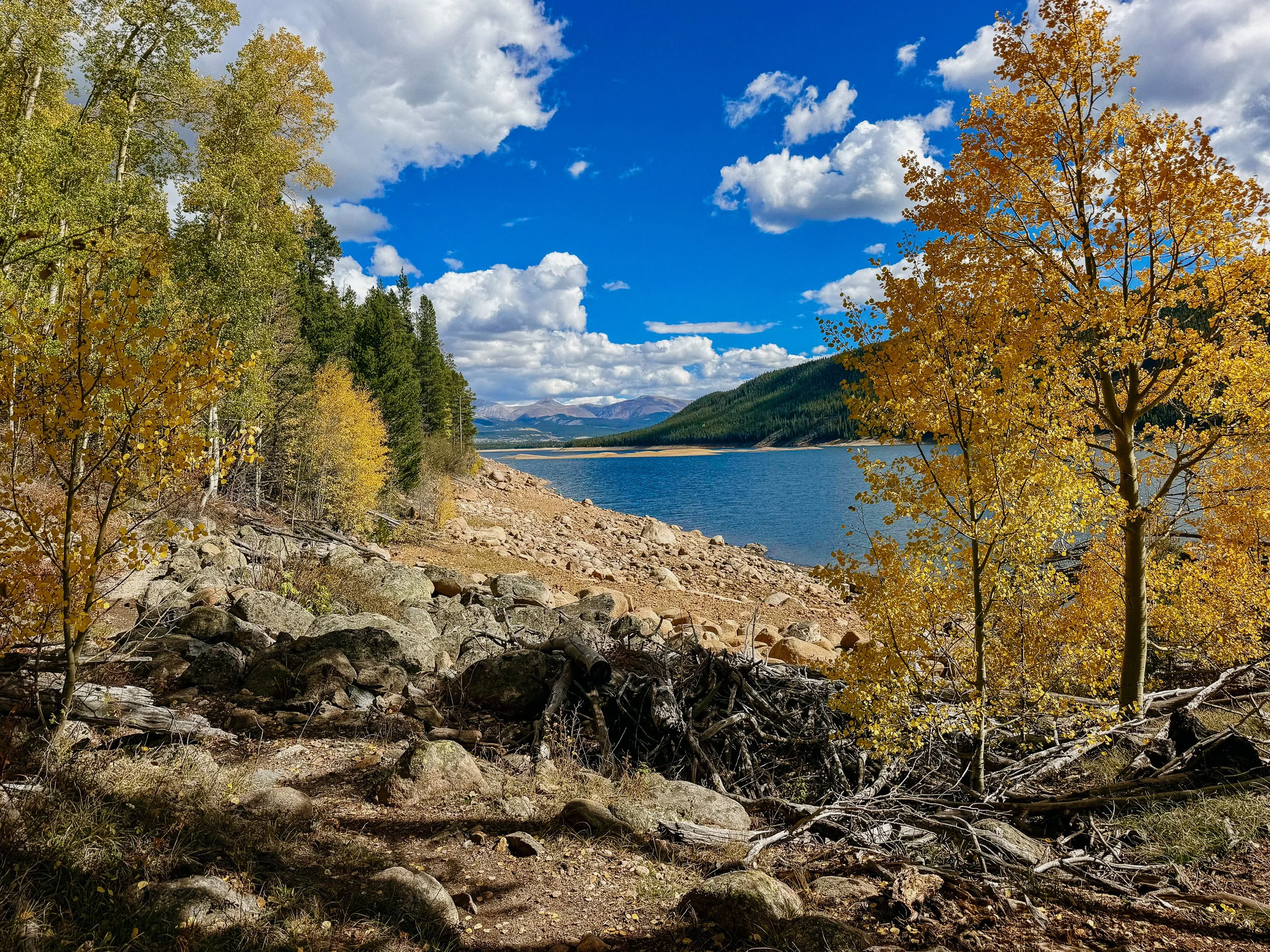
Inn the clouds hostel was a great spot and I had a bed for that evening so I packed up my tent and was able to keep my pack there. George ended up carrying the day pack for the day so I had nothing on my back! It was a pretty easy 23 miles from Tennessee pass down to around Turquoise Lake. Met some very fresh new hikers while I ate lunch that we’re trying to acclimate to climb Elbert (the highest mountain in Colorado) the following day. I had never even done Elbert so kudos for them for trying!
We easily got a ride back to town where we then resupplied and tucked in for the night! Because the hostel had a full kitchen I made quite a big meal there rather than going out. Overall, two nights in town with a bad weather was the right call.
GALLERY