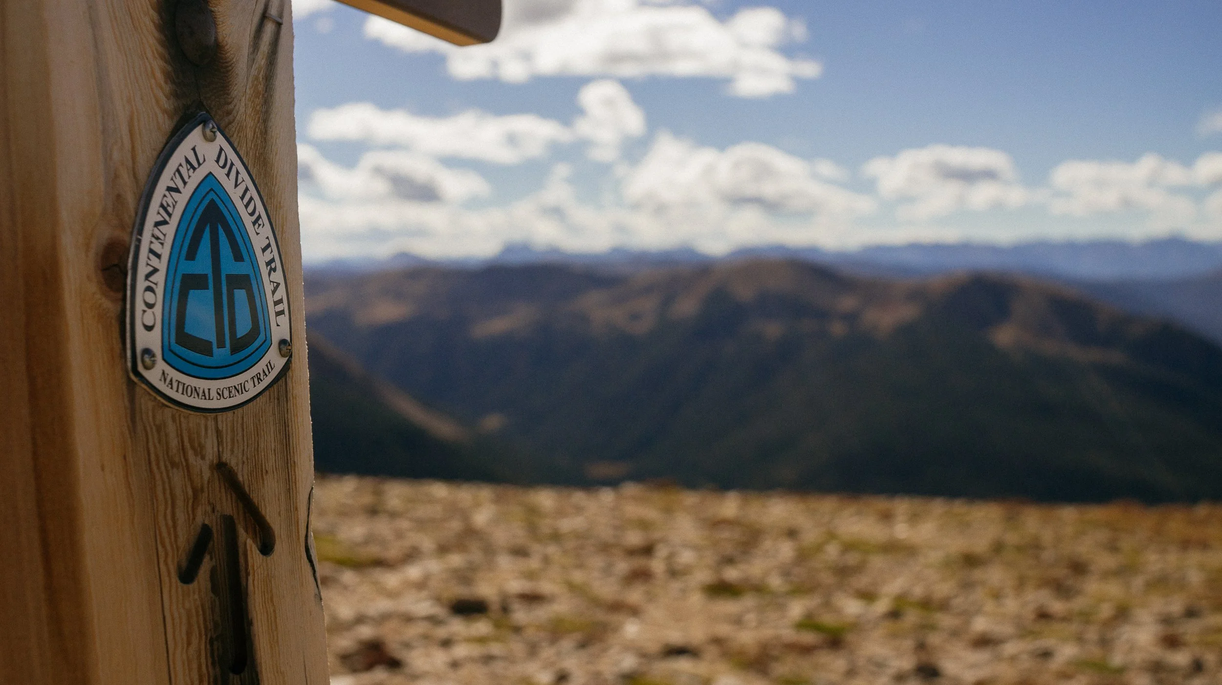
INTROThe Continental Divide Trail is a National Scenic Trail spanning approximately 3,100 miles from Mexico to Canada (or vice versa) through Montana, Idaho, Wyoming, Colorado, and New Mexico, following the geological continental divide.
NOTE
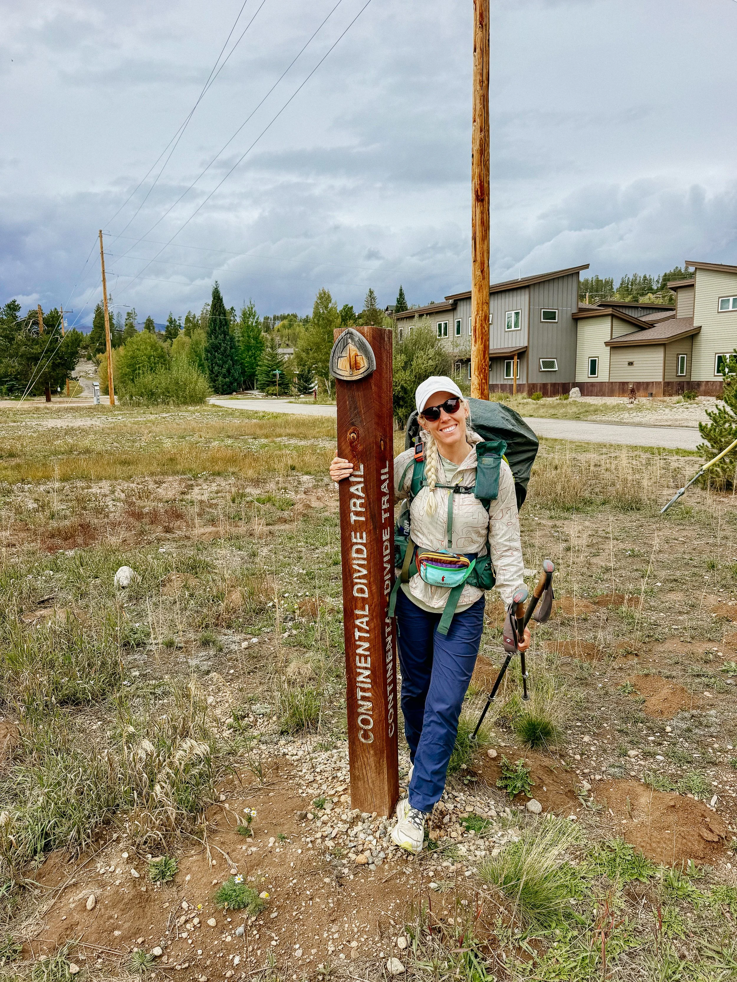
I am hiking the Continental Divide Trail southbound from Canada to Mexico. This trail will complete my Triple Crown of hiking, which includes both the Appalachian Trail and the Pacific Crest Trail.
Unlike the Appalachian Trail and the Pacific Crest Trail, the Continental Divide Trail is somewhat of a choose your own adventure. Alternatives routes, and A variety of options allows this trail to be more fluid. I will do my best to explain the routes that I take in the detailed section.
Views
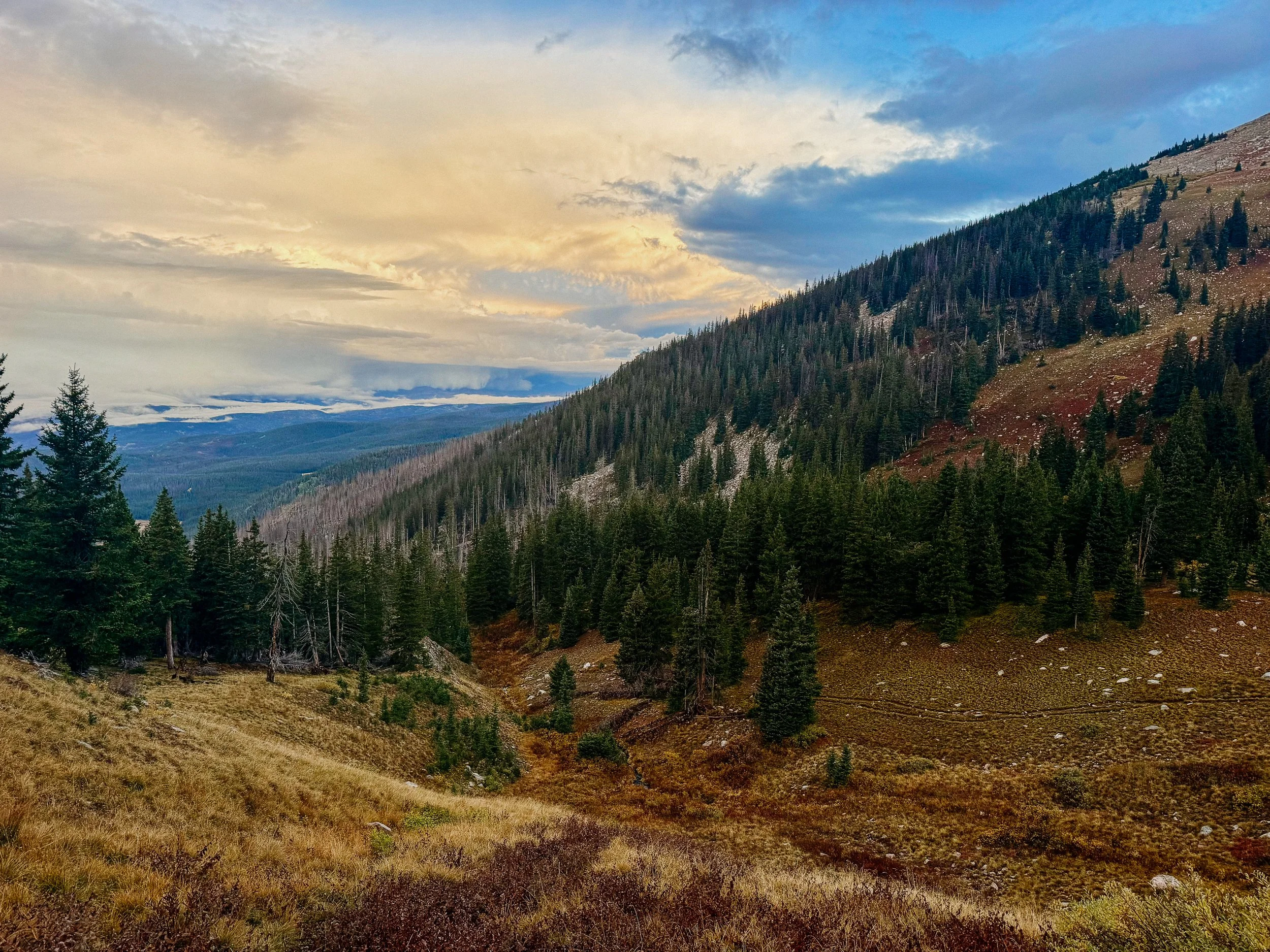
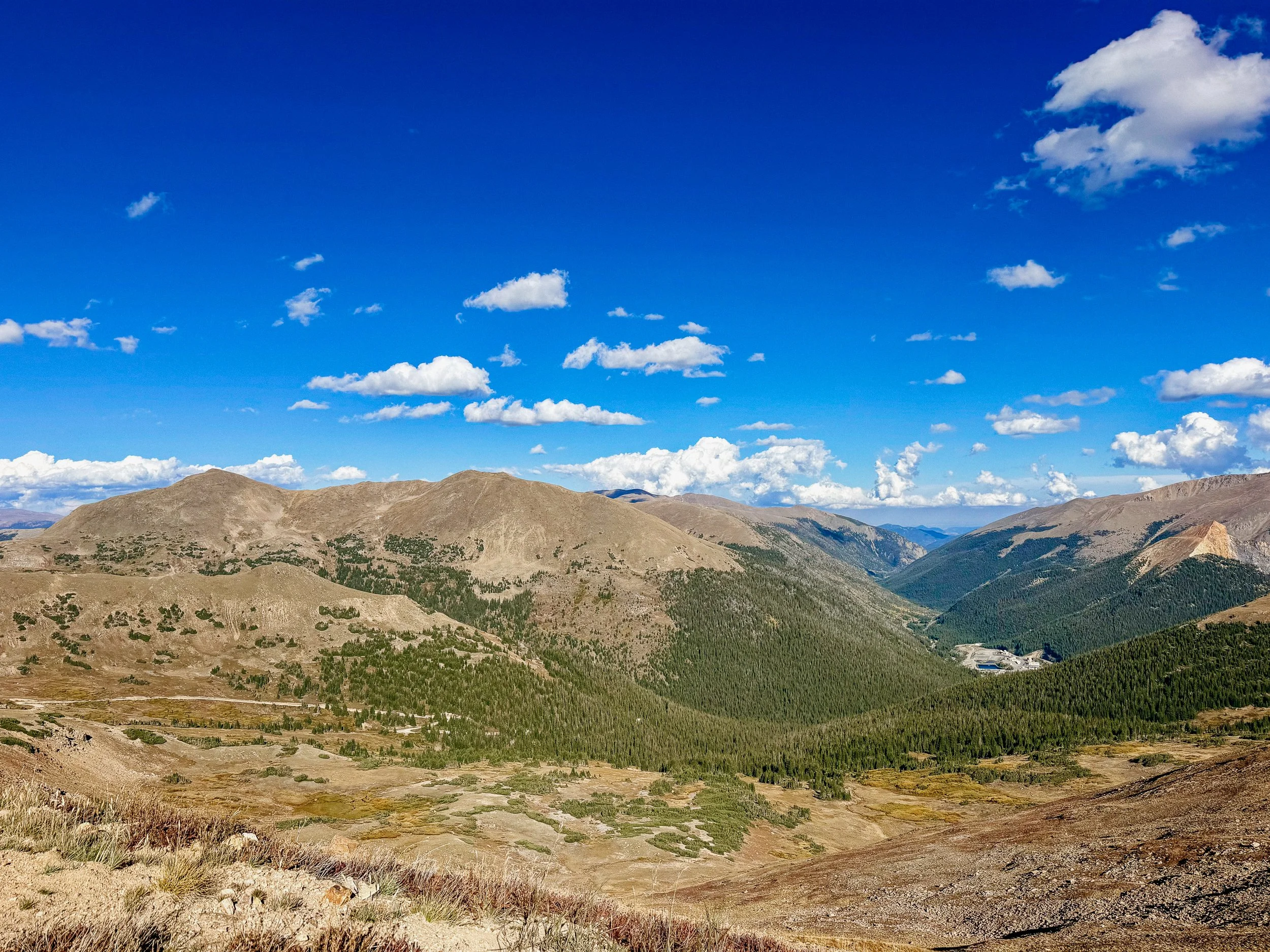
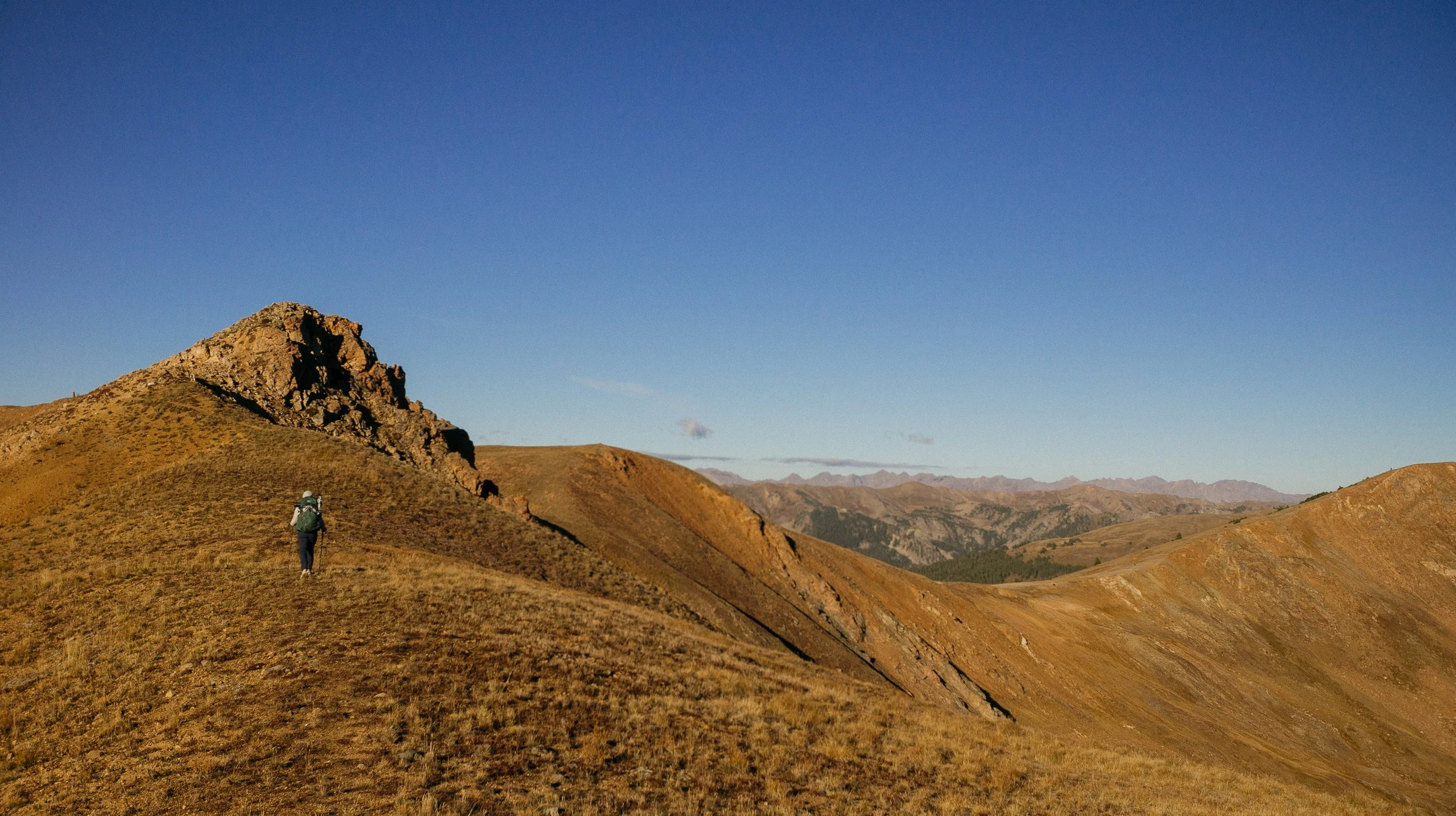
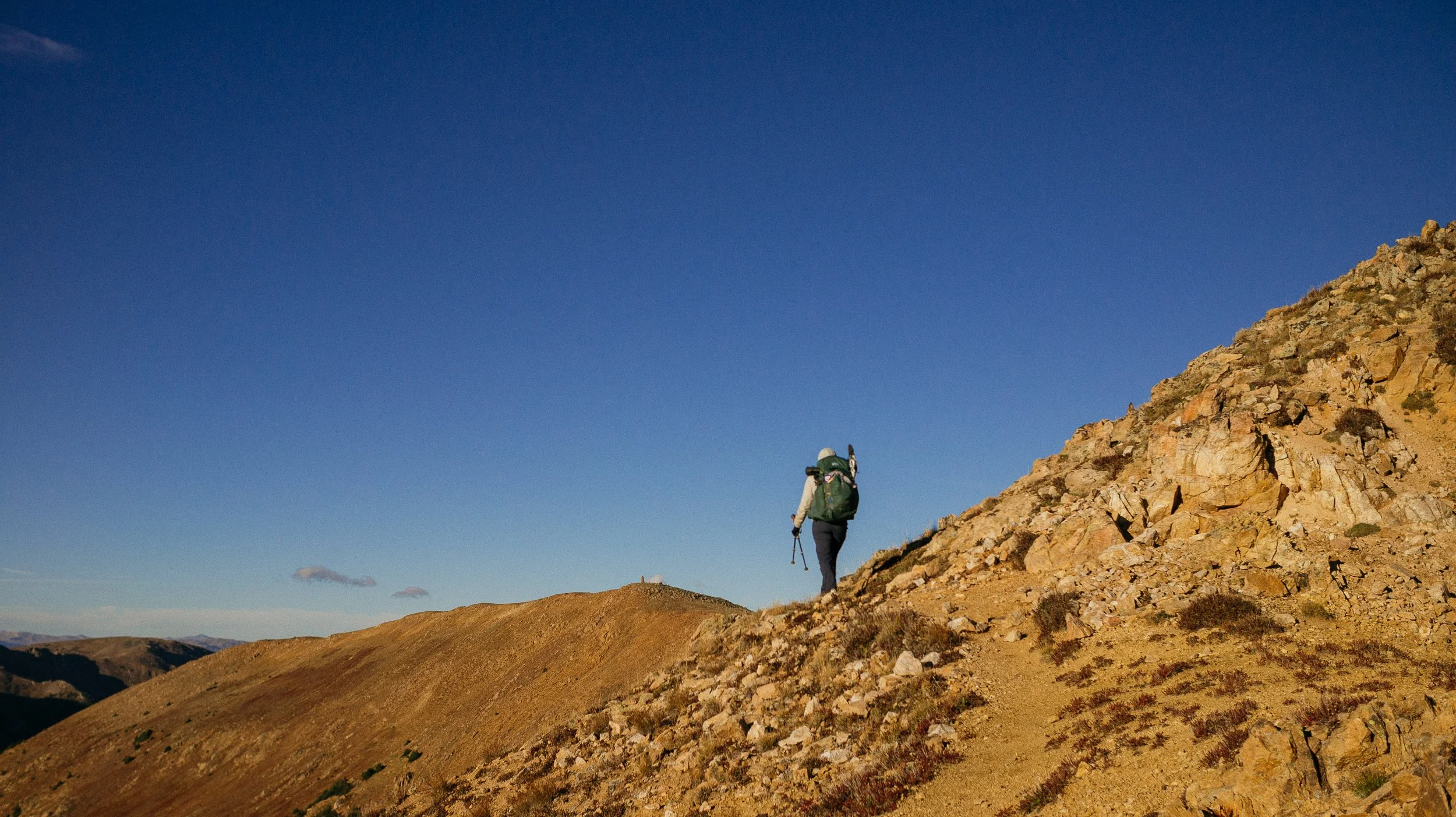
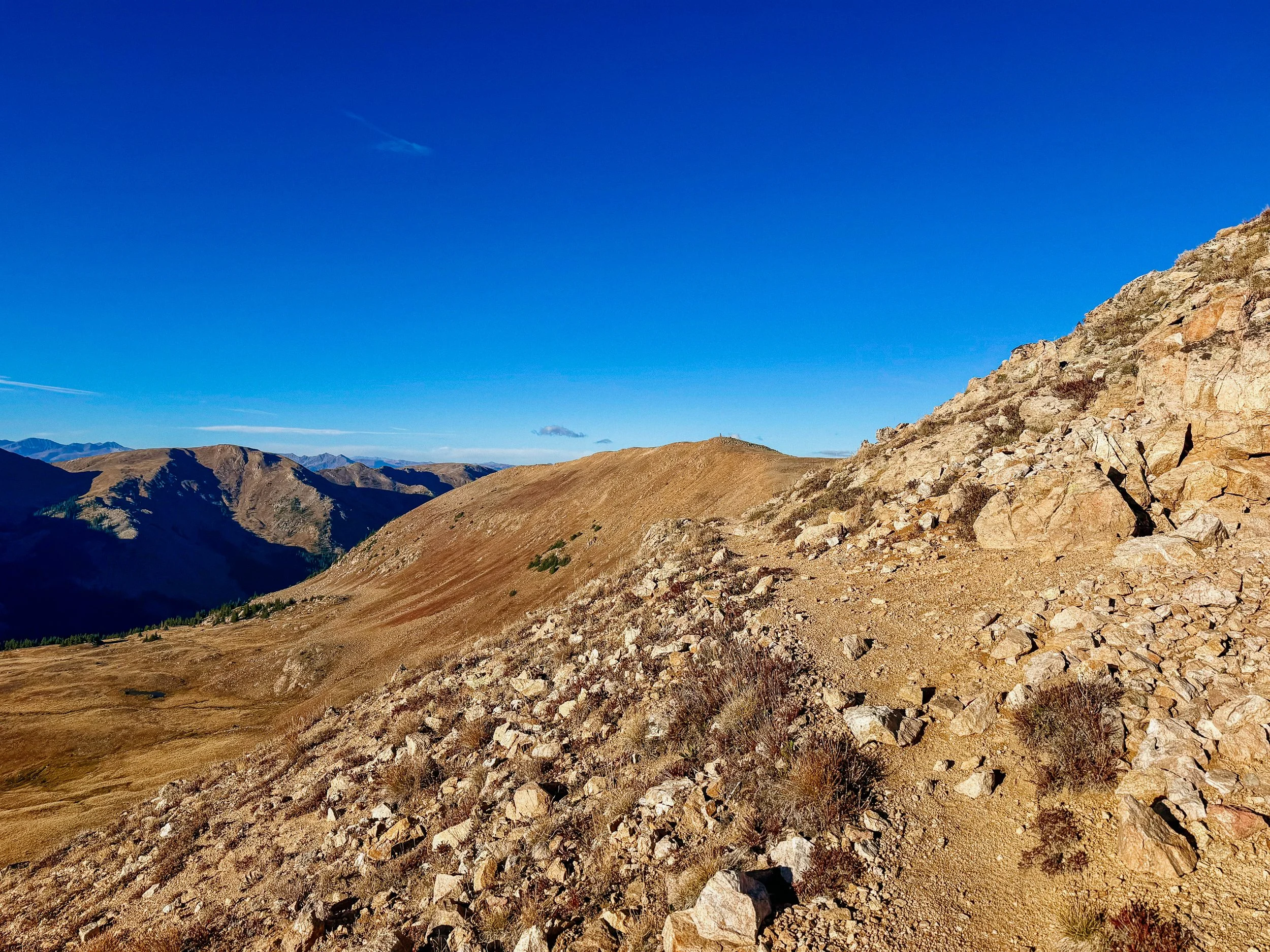
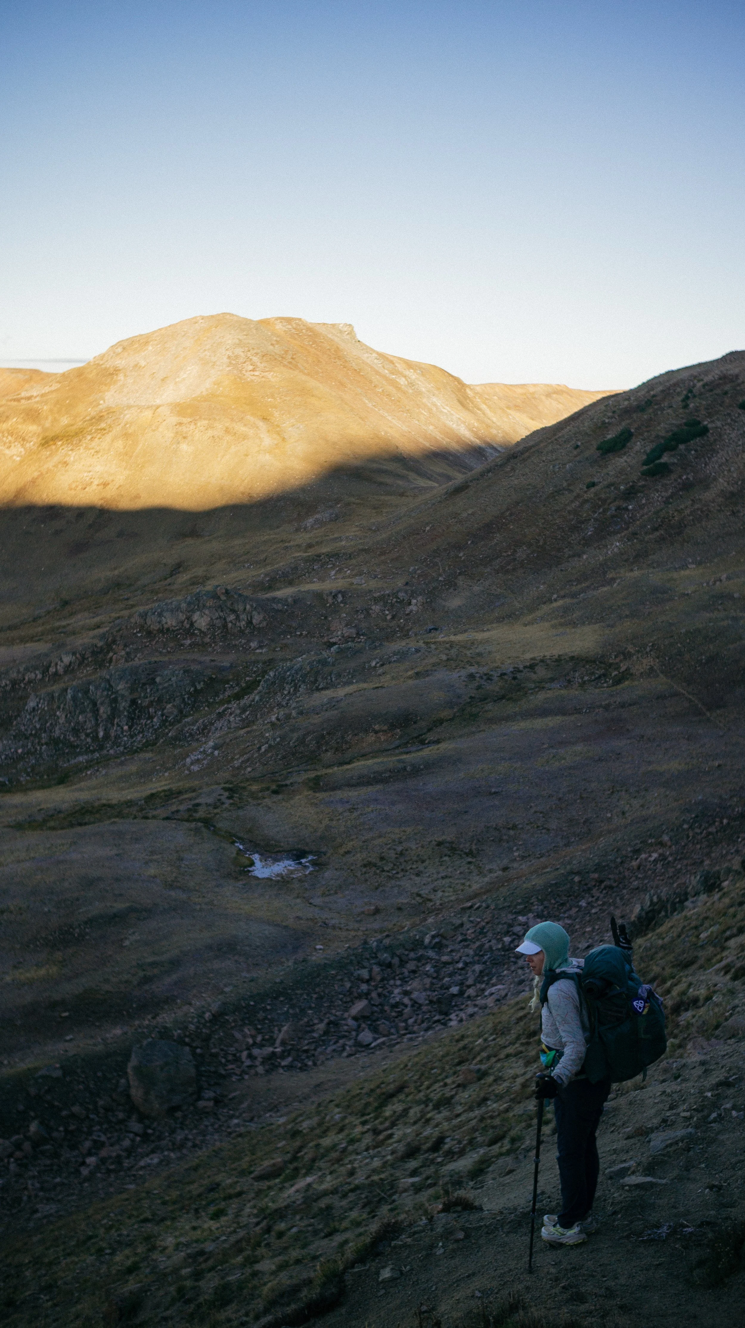
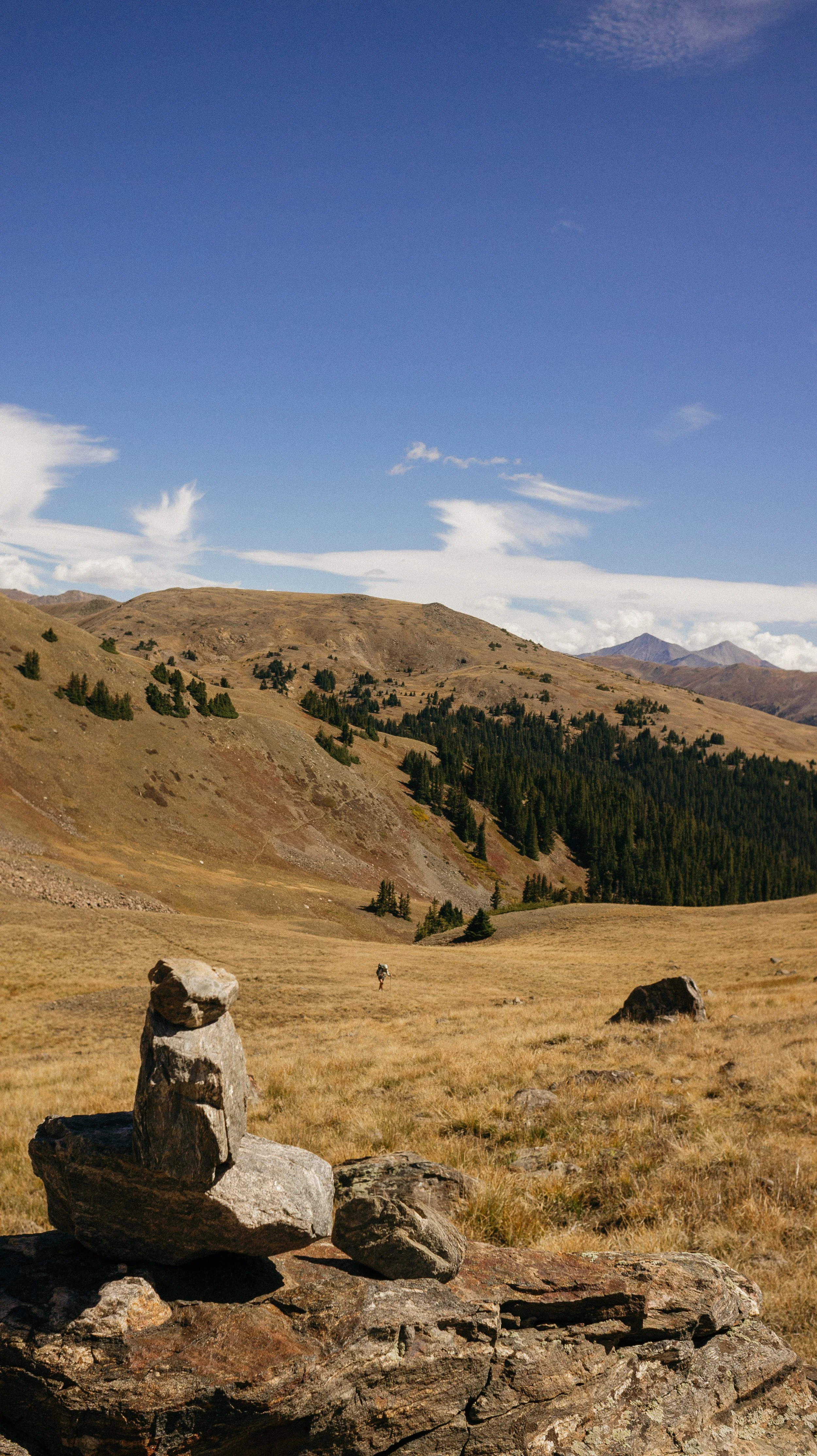
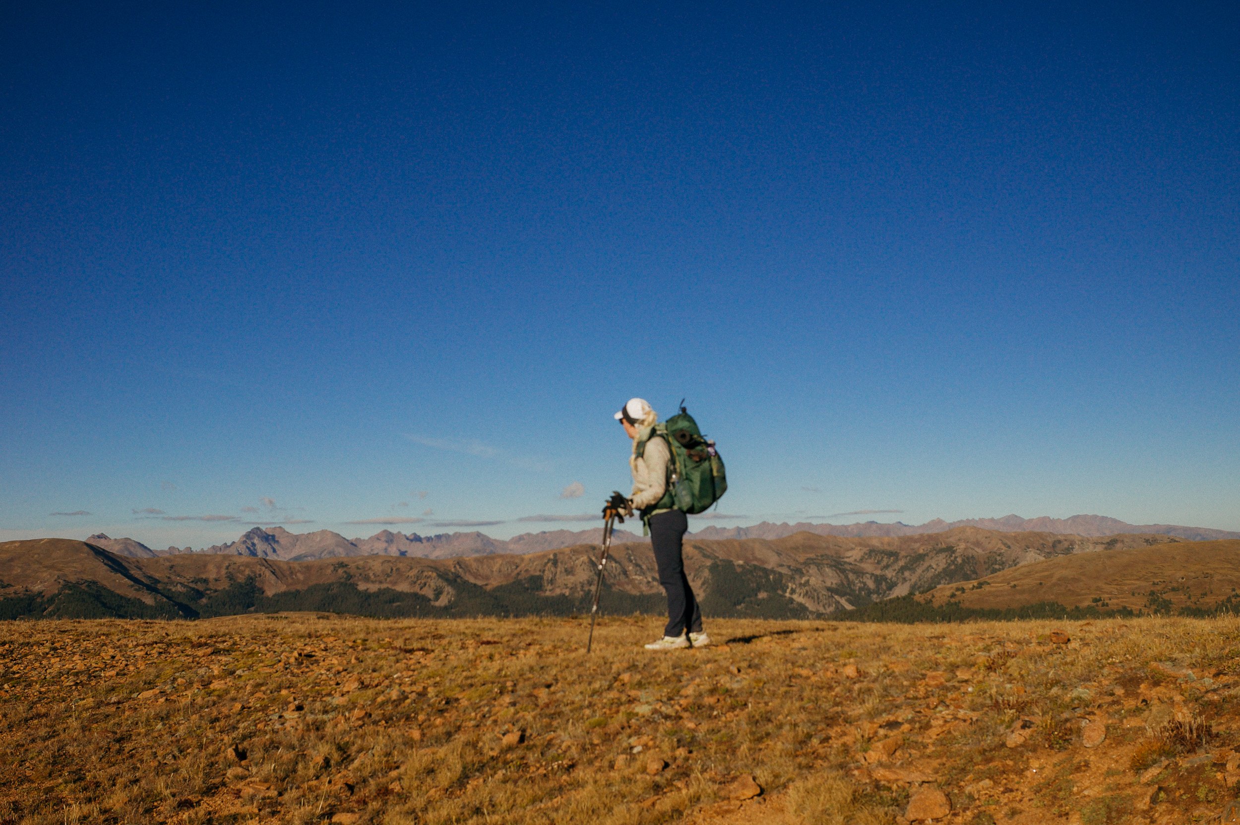
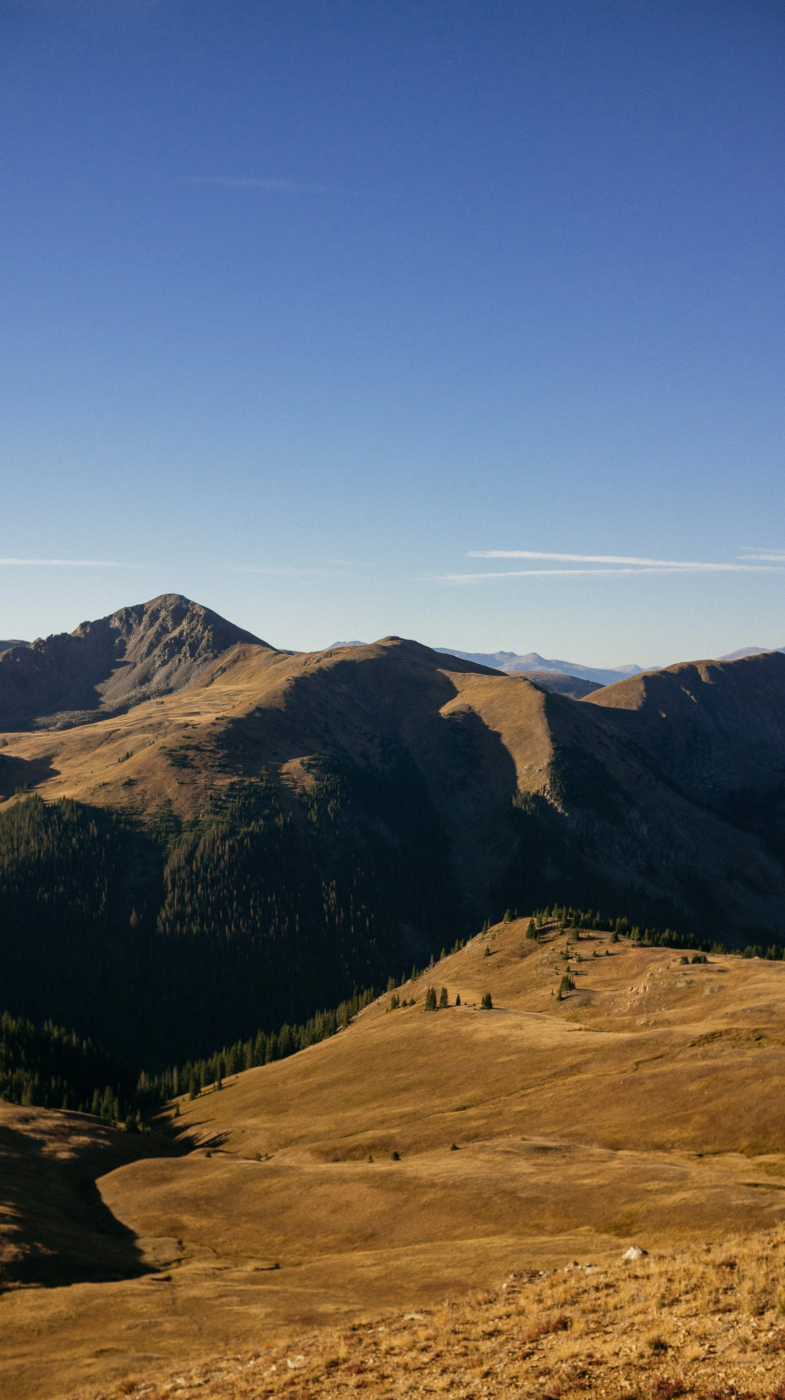
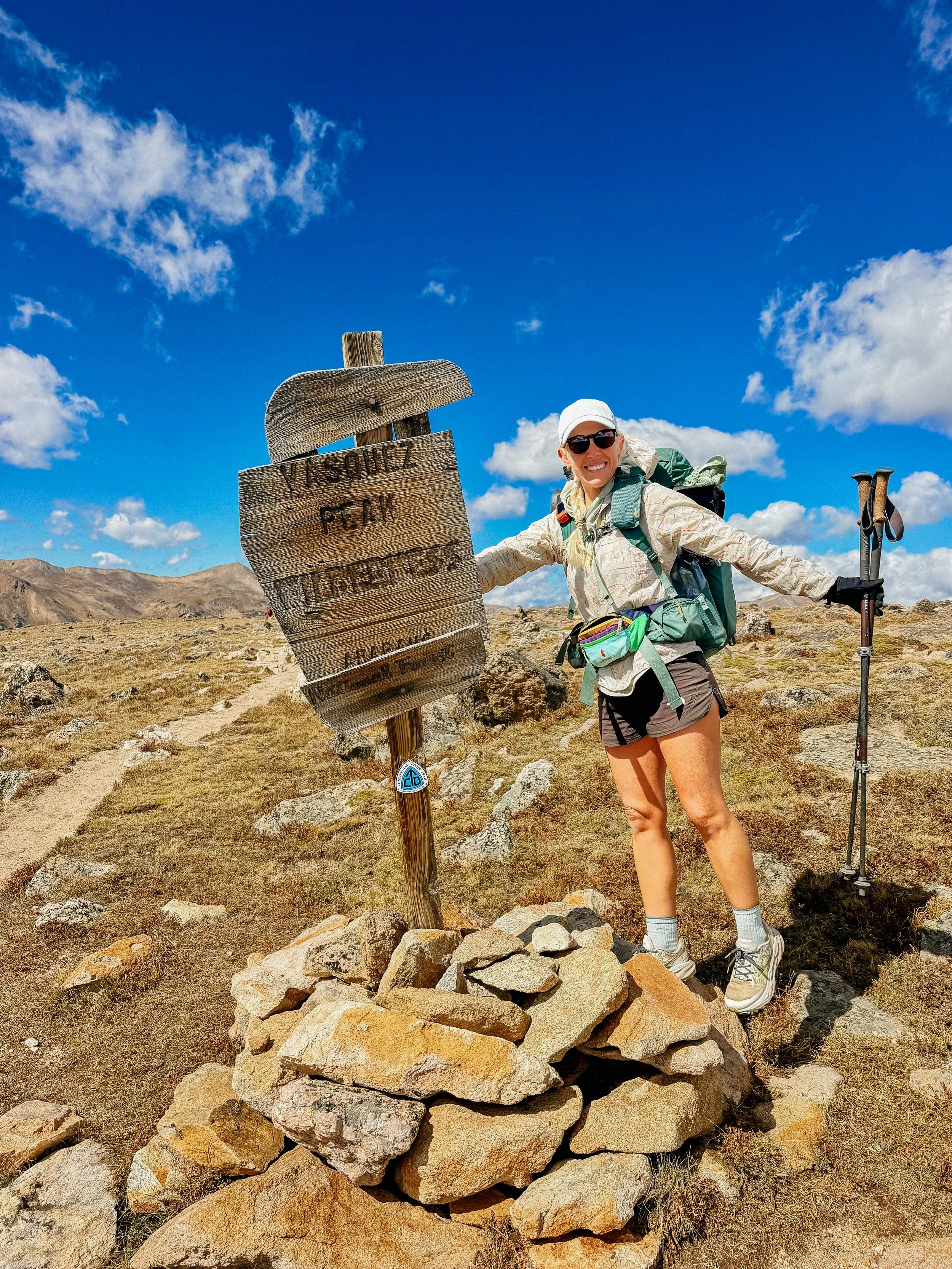
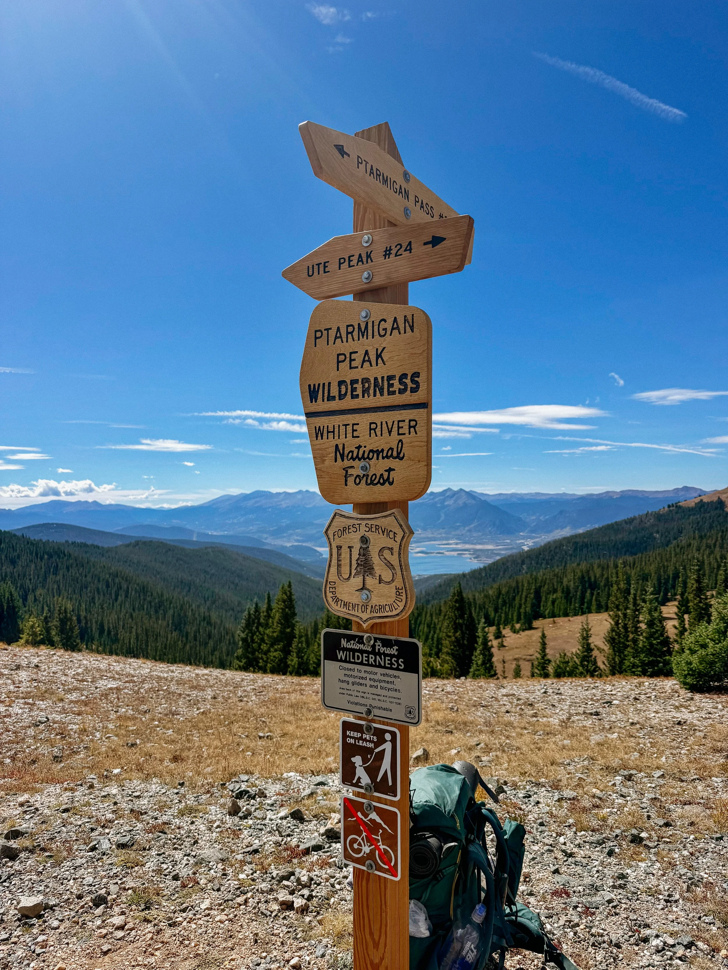
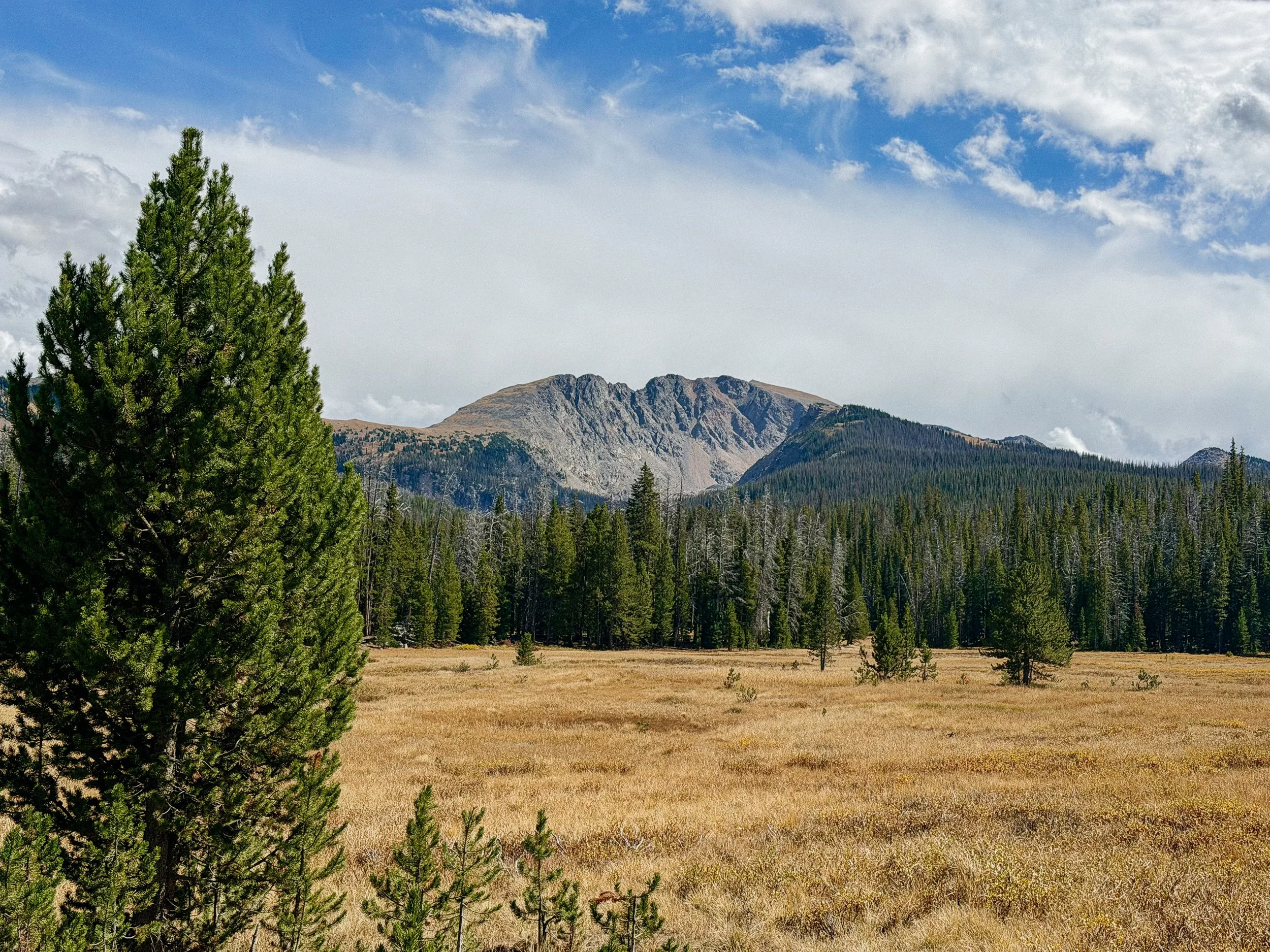
Day 84-90 took me from Grand Lake to Breckenridge, Colorado. This section packed many challenges that I was not expecting for this early in the season in Colorado. Every day was plagued by monsoon thunderstorms or September winter weather. There were a few times where I bailed off the high ridge line routes in favor of a tamer, safer low route. I also popped into Denver for a quick stay. Stay safe, make decisions based on conditions not miles!
OVERVIEWTOTAL DAYS7
FULL HIKING DAYS4
zeroes2
neroes1
TOTAL ELEVATION GAIN16,383 ft
TOTAL ELEVATION LOSS17,753 ft
MILES COVERED84.2 miles
-
Seeing friends from the Camino and the PCT!
Popping into Denver for a quick visit.
The accessibility of towns so weather decisions were easier to make.
-
The constant weather battles.
Valleys
In Depth
-
SLEEP: Camp at Mile 1677.1
MILES: 14
ELEVATION GAIN: 1601 ft
ELEVATION LOSS: 1860 ft
WEATHER: Rain, Cloudy
OVERVIEW: Aspens!
Because there were so many hikers in town, it was hard to get going! I had breakfast at the KOA with groceries I had purchased a day prior. Once I got back into town to finish my resupply, there were many people around. I went out for a coffee and chatted with folks because the backpack does draw attention. There was a nice couple who brought their beautiful dogs around for George and I to play with. I miss Roo so much!
We finally headed out around midday the goal was not too many miles. Ferrari, 50/50, and Steady all caught up. We hiked with them on and off leapfrogging down the trail. All of us had a lovely conversation with a hunter in the area. We asked him direct questions particularly if he liked hikers or not (because we often scare the intended animal targets) to which of course responded that he did.
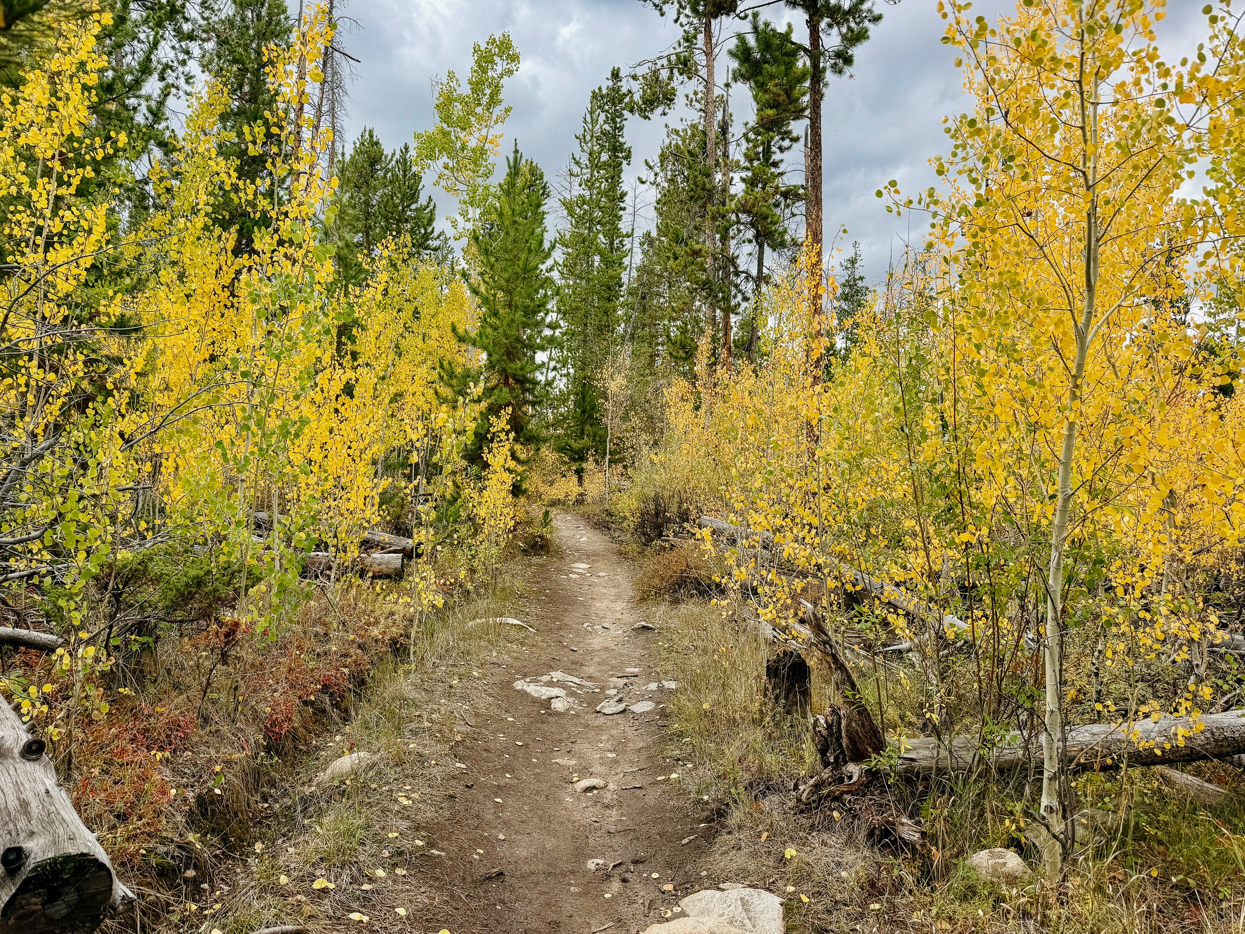
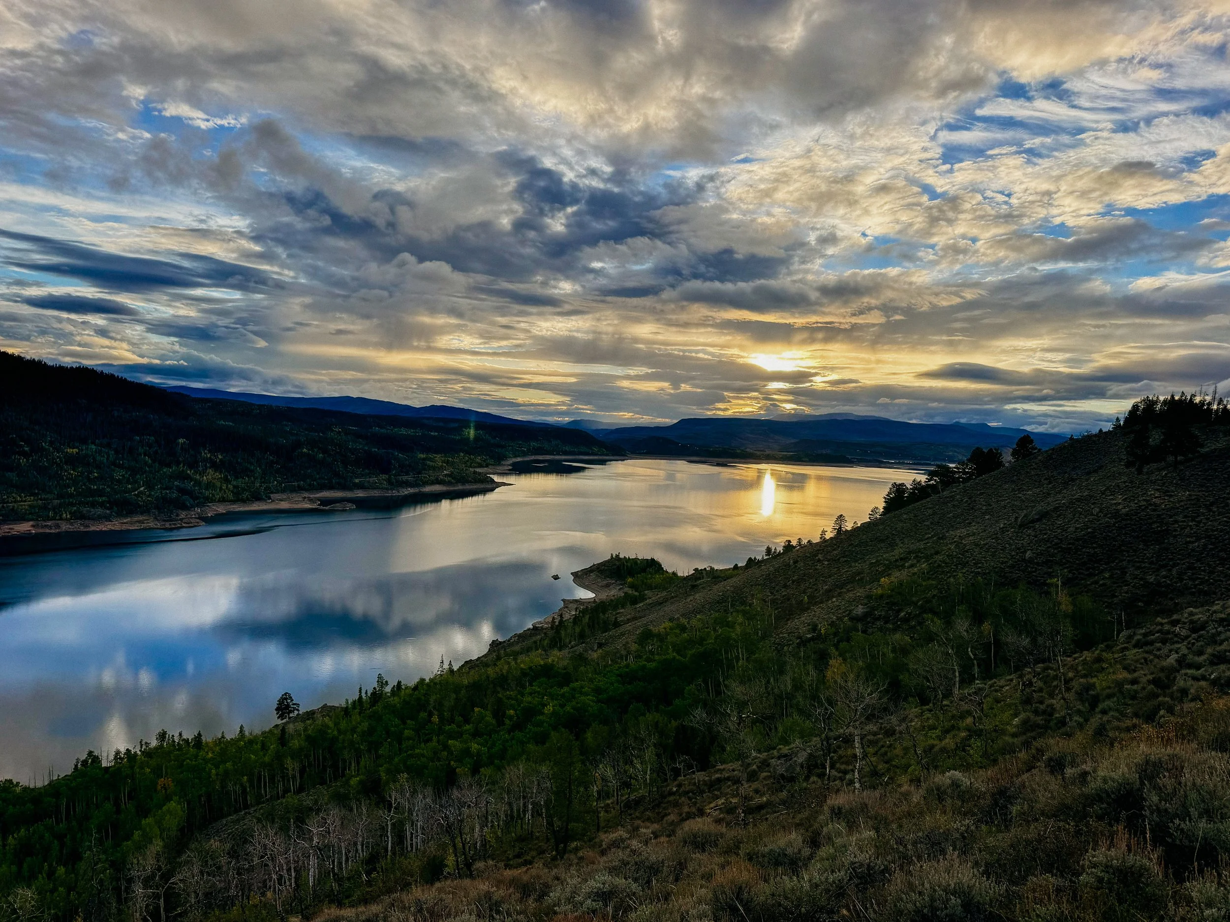
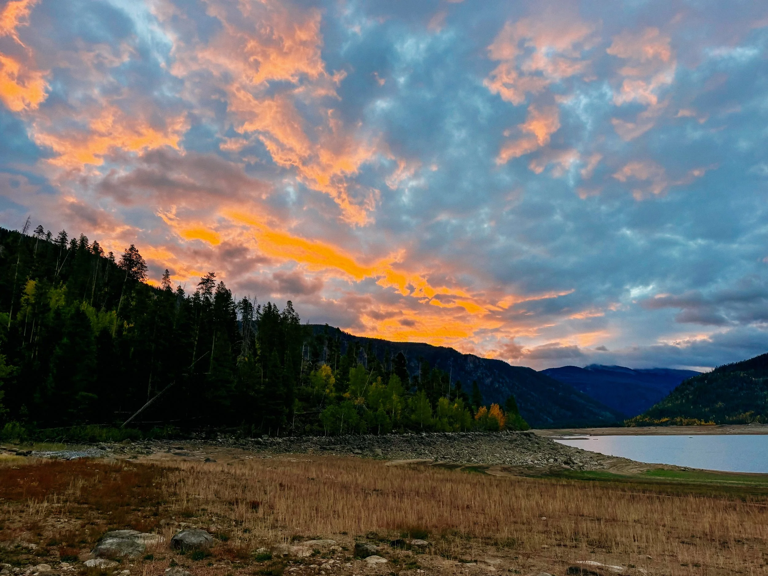
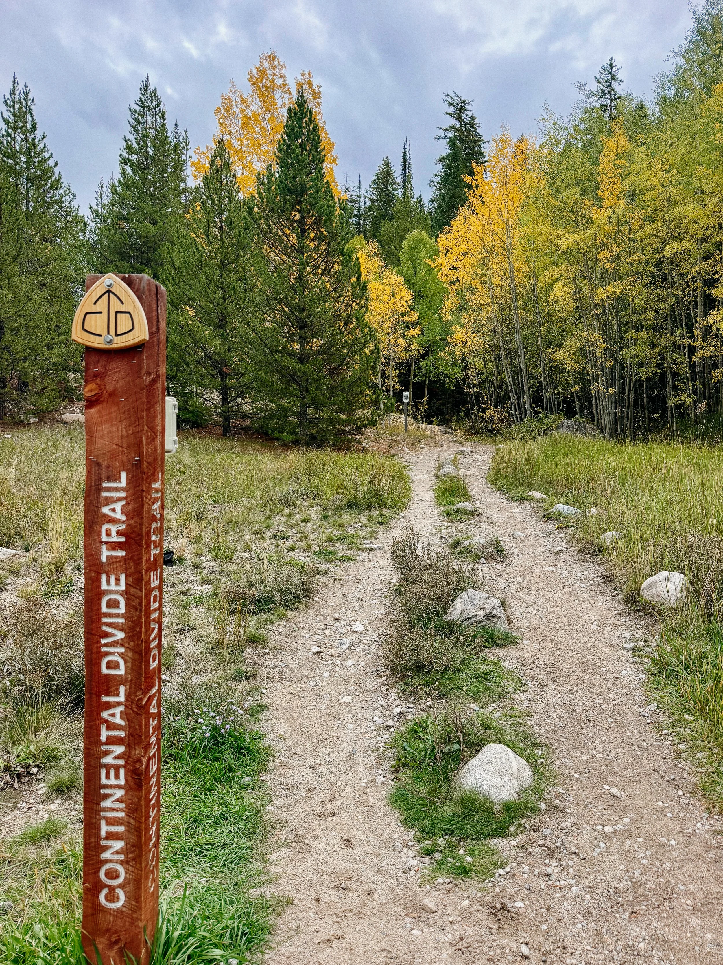
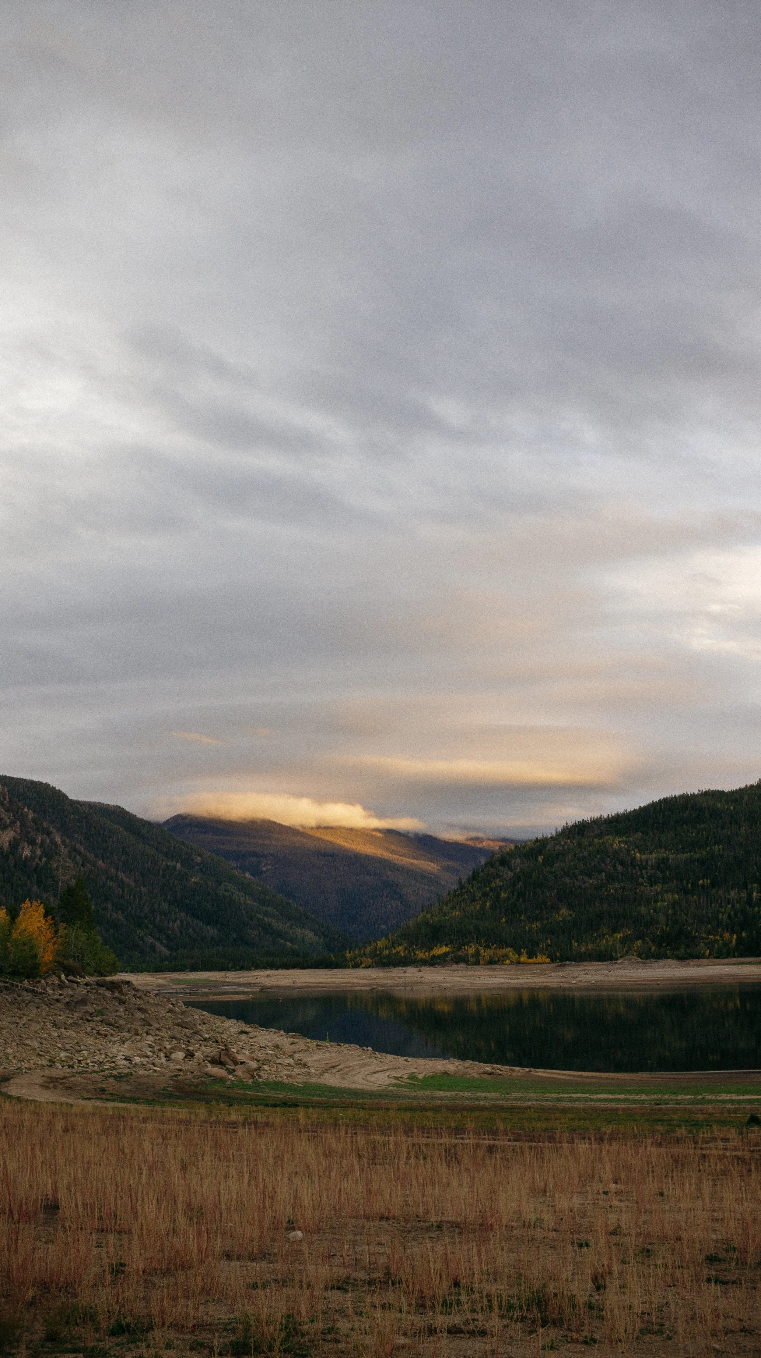
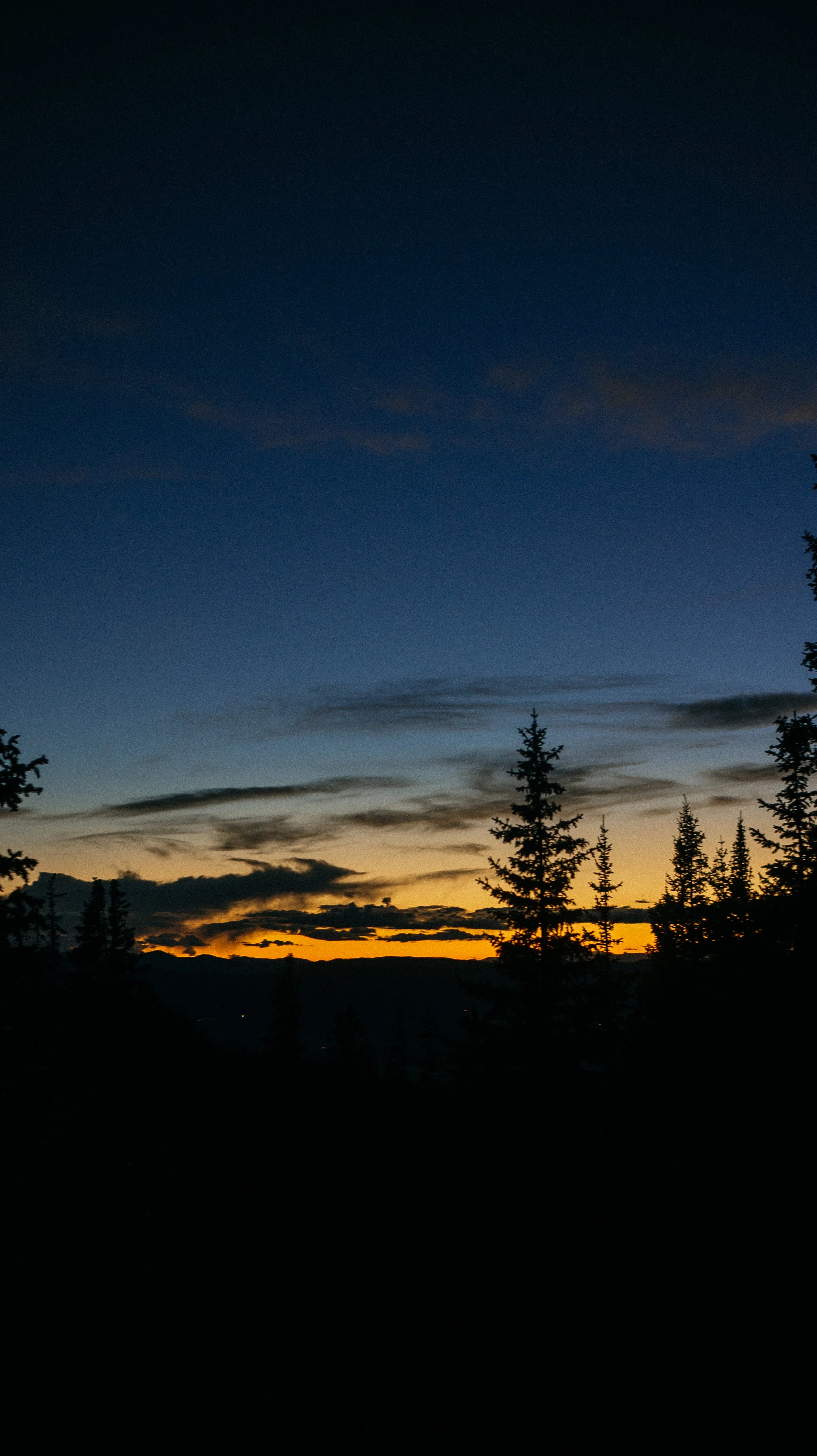
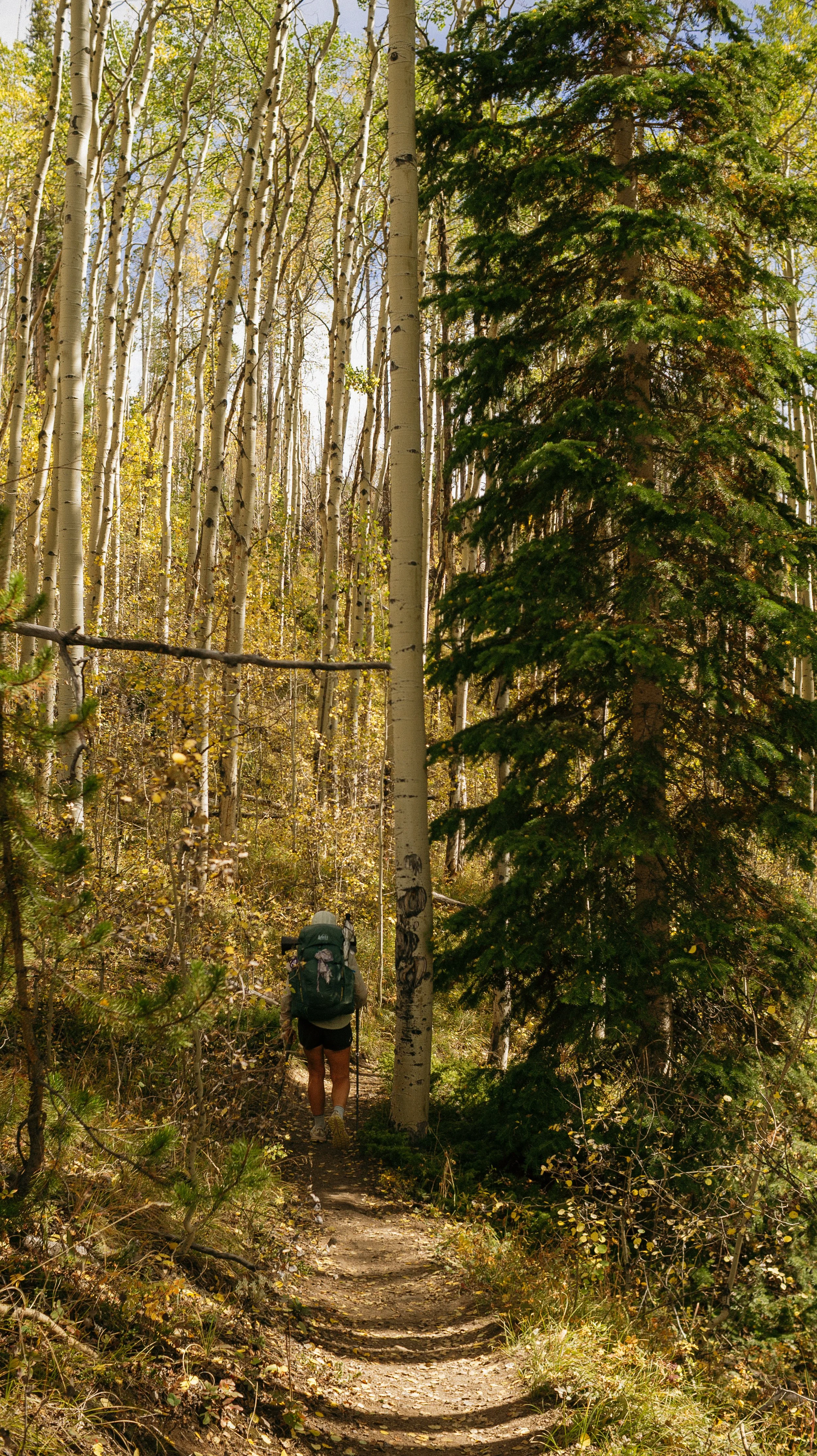
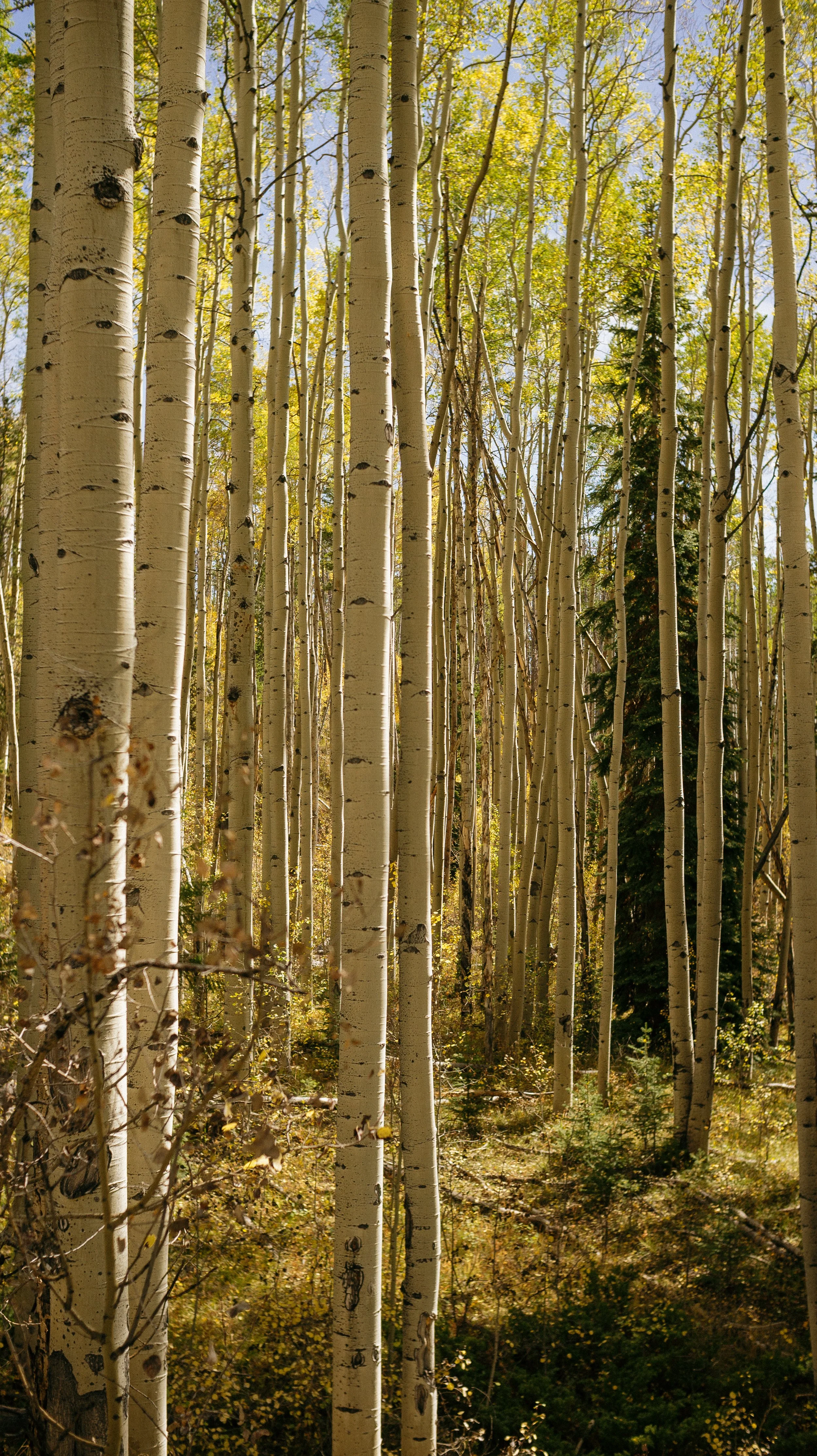
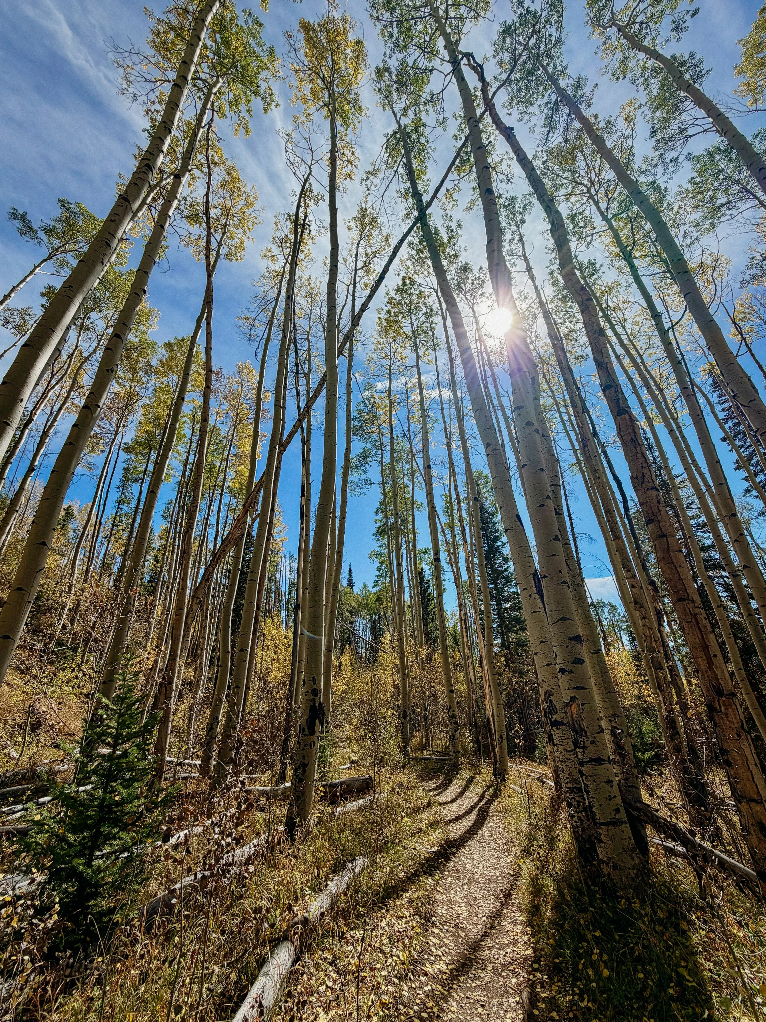
The rest of the day was a blur. The aspens’ colors was intense, climbs were moderate, and I was so happy to roll into camp just as the sun was setting. George had chosen a spot, literally on a beach of Lake Granby- and it was a perfect sunset. Also setting up my camp on sand was actually very comfortable!
-
SLEEP: Camp at Mile 1695.8
MILES: 18.2
ELEVATION GAIN: 4747 ft
ELEVATION LOSS: 2021 fr
WEATHER: Rain, Cold, Thunderstorm
OVERVIEW: What a miserable day lol
I woke up to the sound of a large animal, huffing outside my tent, and luckily, I had left the flaps open and could see a large moose walking by nearly tripping on my tent stake. What a way to wake up!
As I packed up camp, I showed George the giant footprint/hoofprint left behind by this moose. And it was in fact, inches from my tent.
The first few miles of the day were around a campsite, near a general store that was unfortunately closed, and then to a very popular day use and backpacking area, Monarch Lake. We met some volunteers there that were doing trail maintenance over the weekend. It was great to meet folks who make the trail so great! Thank you!
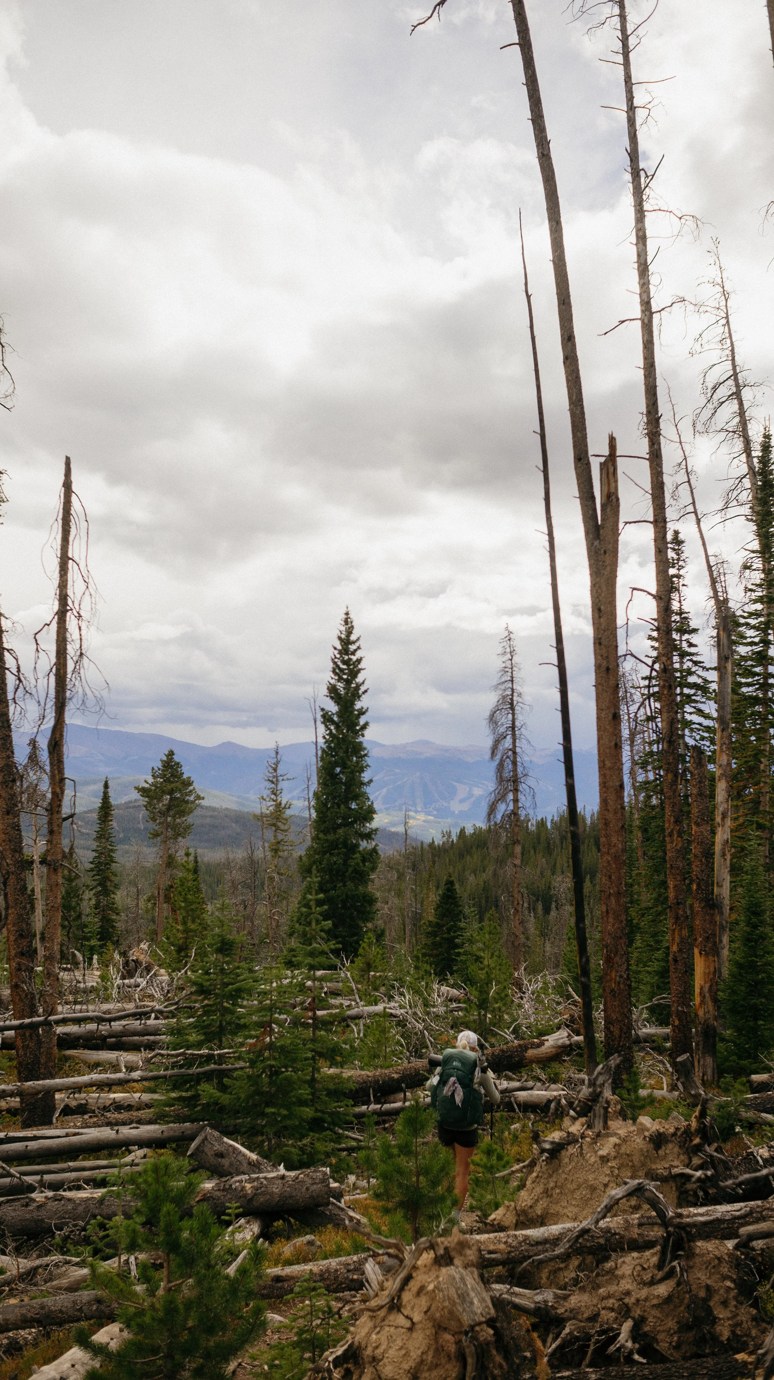
We went around Monarch Lake up to the High Lonesome Trail – not a good omen for the day. Most of the which felt like it was up. The trail wound through burn zones up and over ridges to see the decimation that fires had consuming. The fuel made by pine beetles was heartbreaking. While on the last ascent for the day, of course, the thunderstorm and deluge came around. This included some of the loudest thunder cracks I’ve ever heard and rain that match the pace.
At this point, it’s beginning to get cold because the sun is dropping down. The final climb continues to pour - insult to injury going up an 800 foot per mile climb while getting rained on.
Our goal camping area of the day was in some pine trees at the base of a different climb, but Ferrari, 50/50, Steady, and FreeStyle were there putting on their coats. They had gotten out of the major storm and were huddling under the clump of trees before they continued on the ridge. They kept some of the area dry actually that’s where I set up my tent.
I was completely soaked through and it got cold fast. Luckily there was some lingering sun, so I set some of my items out in the waning patches to get any more to come of water out of the fabrics.
-
SLEEP: Hotel in Winter Park
MILES: 17.3
ELEVATION GAIN: 1745 ft
ELEVATION LOSS: 3222 ft
WEATHER: Winter…
OVERVIEW: No hypothermia please
The first sound I heard for the day was George whisper screaming “Leeann Leeann, wake up!”. There were two bull moose fighting outside of my tent. You could hear the forceful hooves into the ground, grunting, and the clash of giant racks of antlers. This was beyond fascinating, but also scary because I was completely on the ground when there are angry, bull moose stomping around. This carried on for about a half an hour, of course just before my alarm went off.
The day was slated to have horrible weather so while there was no rain at the time, I packed up my tent to make sure everything was as watertight as it could be.
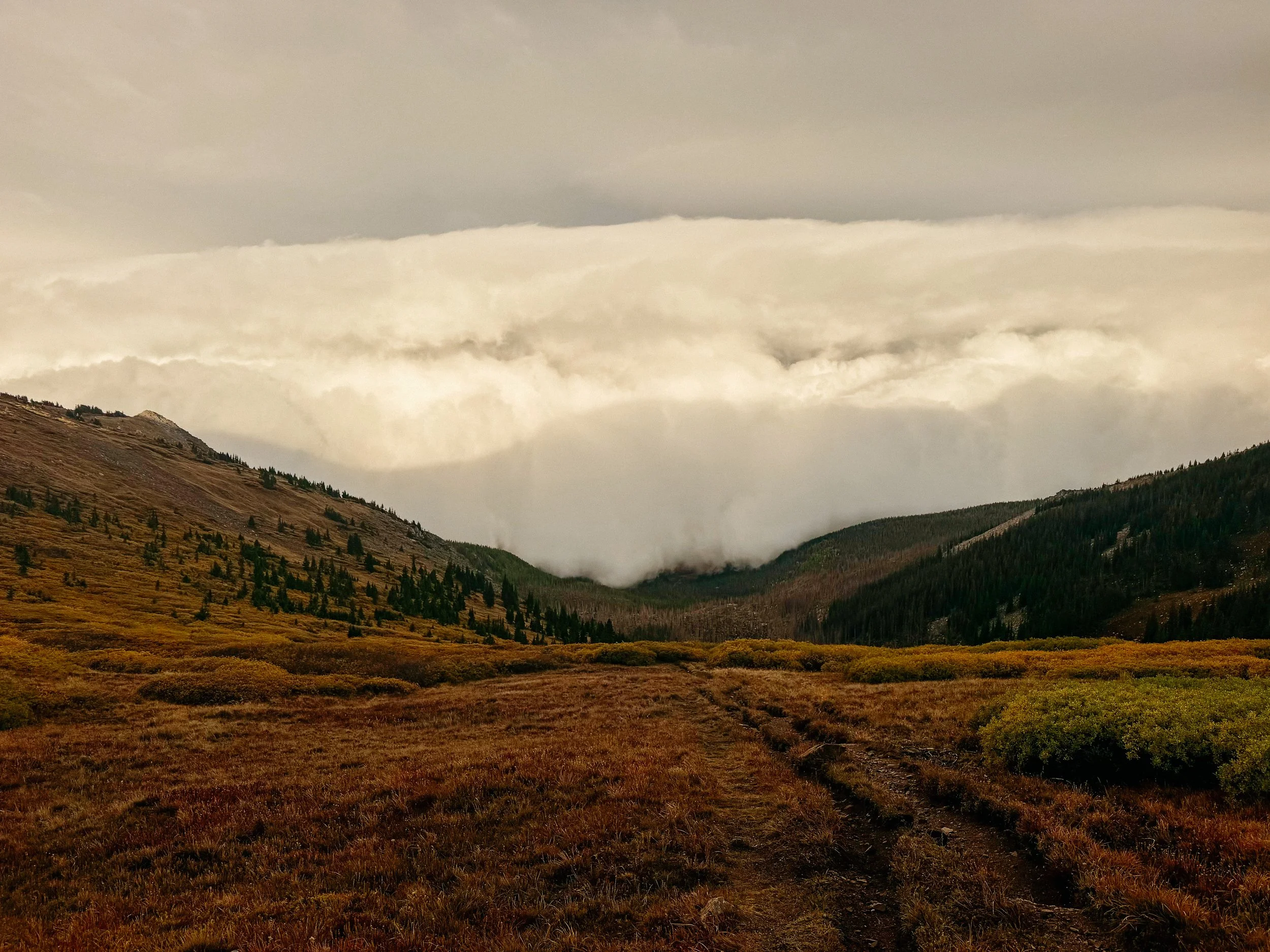
There was a steep climb to start up the day and once I started to get most of the way up to climb, I saw the weather system coming over the valley. It was a white wall that was slowly taking over the valley and was going to hit me imminently.
George stood at the saddle, watching as this sentient cloud came rolling through. Everything was still and it was not too cold. But once that cloud engulfed me, the wind picked up to 30 miles an hour and carrying with it cold precipitation.
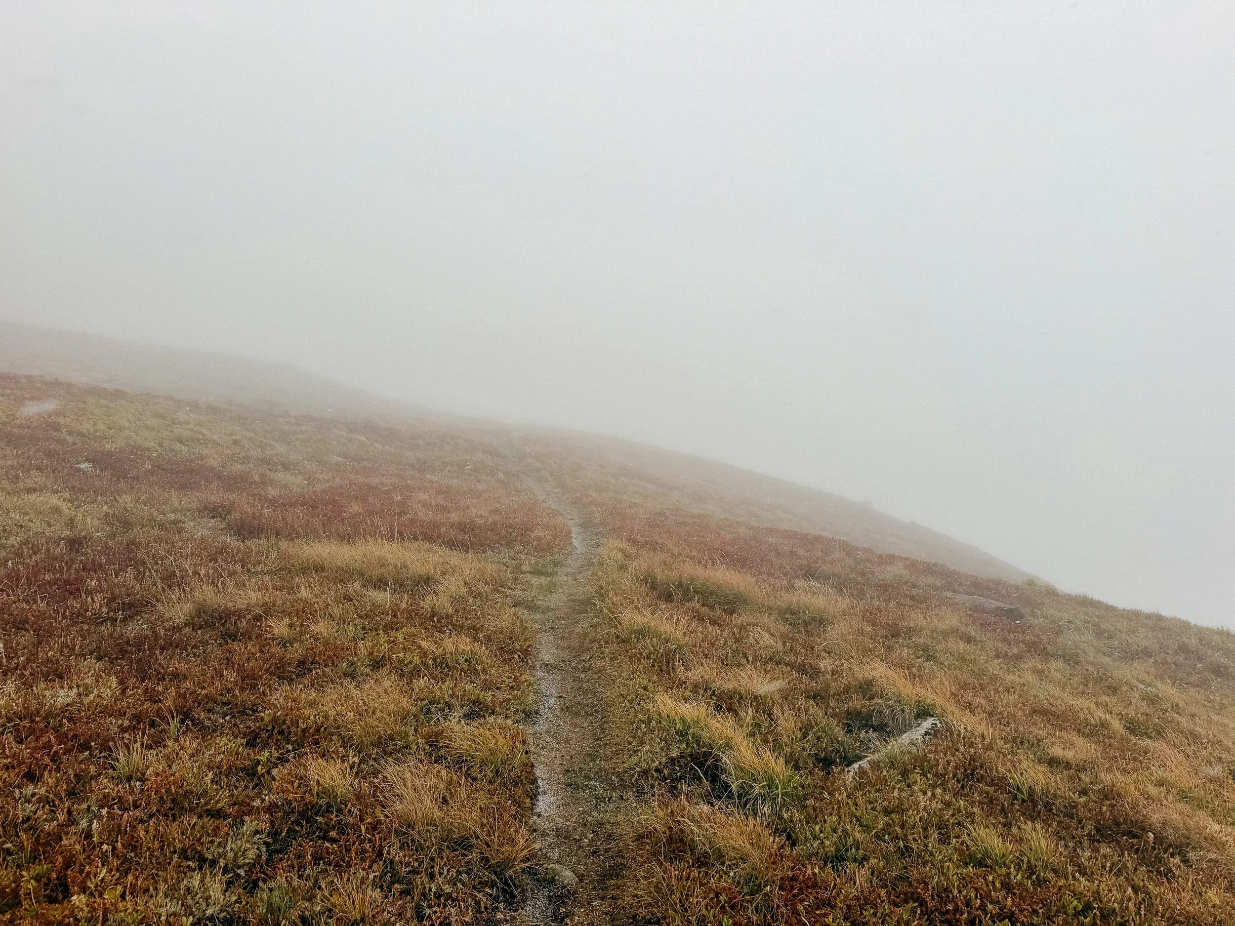
The whole day was meant to be on ridge lines going up to 13,300 feet and completely above the tree line. The weather was pouring down a mix of rain and snow, the temperature was dropping because of this weather system, and I could only see a car length in front of me. It then turned into sideways sleet that eventually would be accumulating snow. We passed a trailhead about 6.5 miles in and continued on for a half mile. I had all my layers on, my waterproof, and I was still soaked through and shaking cold. I looked at George and said, “this is not safe.” If I was shaking in this cold at 12,000 feet only gonna get worse up at 13,000 feet.
So we doubled back to the trailhead and begin an over 10 mile descent down in Winter Park.
Every 1000 feet that I dropped I got a few degrees warmer. Winter Park was not on our list of stops but needs must. Luckily, we made it in time for my favorite, diner breakfast before they closed at 2:00pm. There’s also accommodation in Winter Park, the Viking Lodge, that offers CDT hikers a severely discounted rate which was so kind. While walking to my accommodation another triple crowner, Casper, offered us a ride the next day to Berthpud Pass. I got her phone number and would be using her the next day!
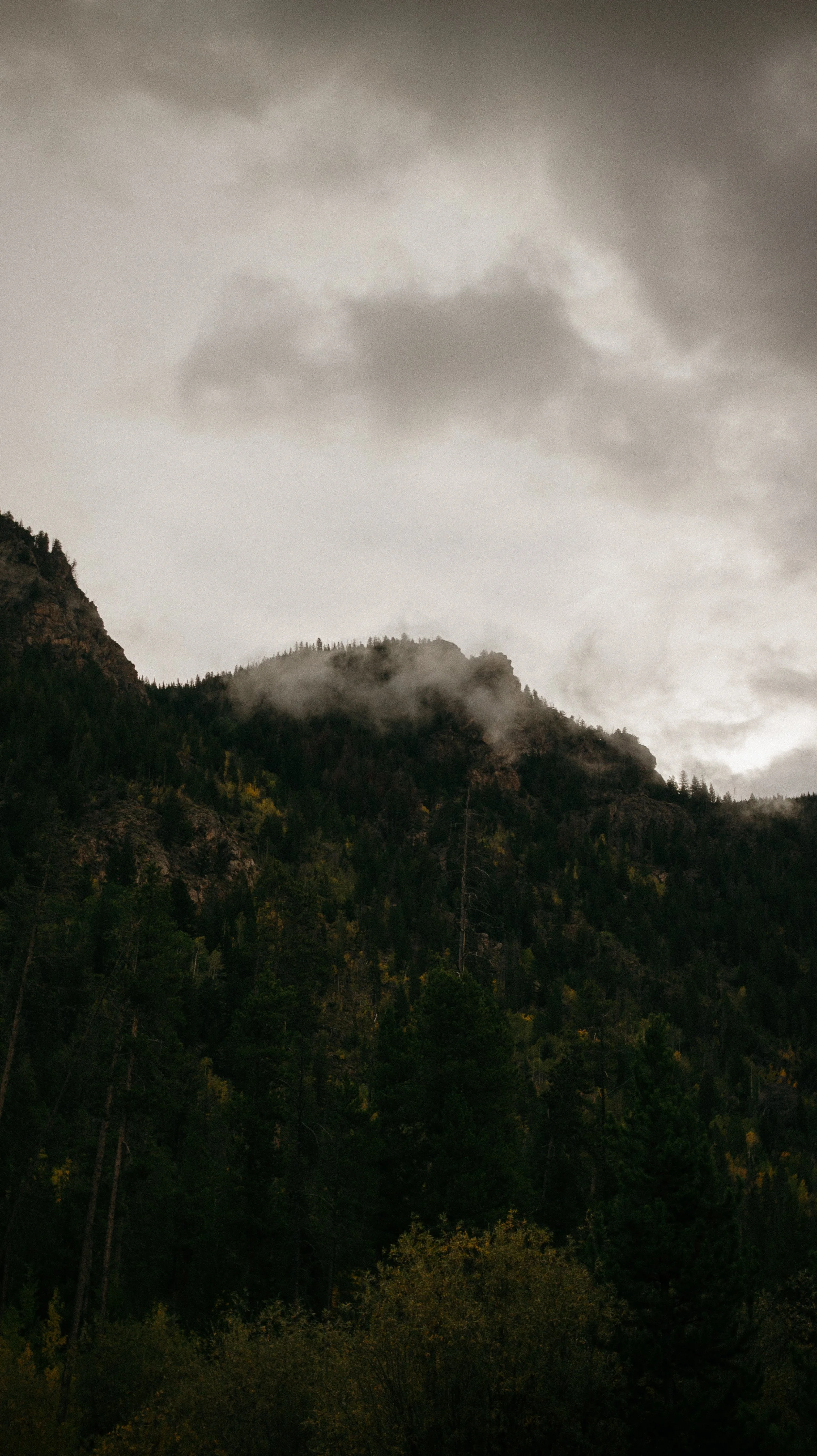
The rest of the day was spent relaxing and warming up from the morning’s cold. As I looked out on James Peak wilderness, which was the area I was meant to be hiking in there were clouds in it all day and snow accumulating. I made the right choice even though difficult one.
-
SLEEP: Silverthorne Alt
MILES: 16.8
ELEVATION GAIN: 4449 ft
ELEVATION LOSS: 4623 ft
WEATHER: Sun, Wind
OVERVIEW: A beautiful day to appreciate the body adapting
Because Casper was gonna give us a ride around 10:00am, I wanted to have a lazy morning. I had a quick cup of tea and McDonald’s breakfast and we were up at Berthoud Pass in no time.
The goal of the day was to position ourselves with only around 17 miles left for the following day to get into Denver.
Berthoud Pass has such a visceral memory to me because when I lived in Colorado, I vividly remember going up to the Pass, attempting to hike, and bailing immediately because it was too high. The elevation of the Pass felt insurmountable to me years ago. But I ascended with little difficulty this go round which just demonstrates how much your body adapt.
It was a weekend so there were many people out and it was fun to see so many folks doing something hard as their activity.
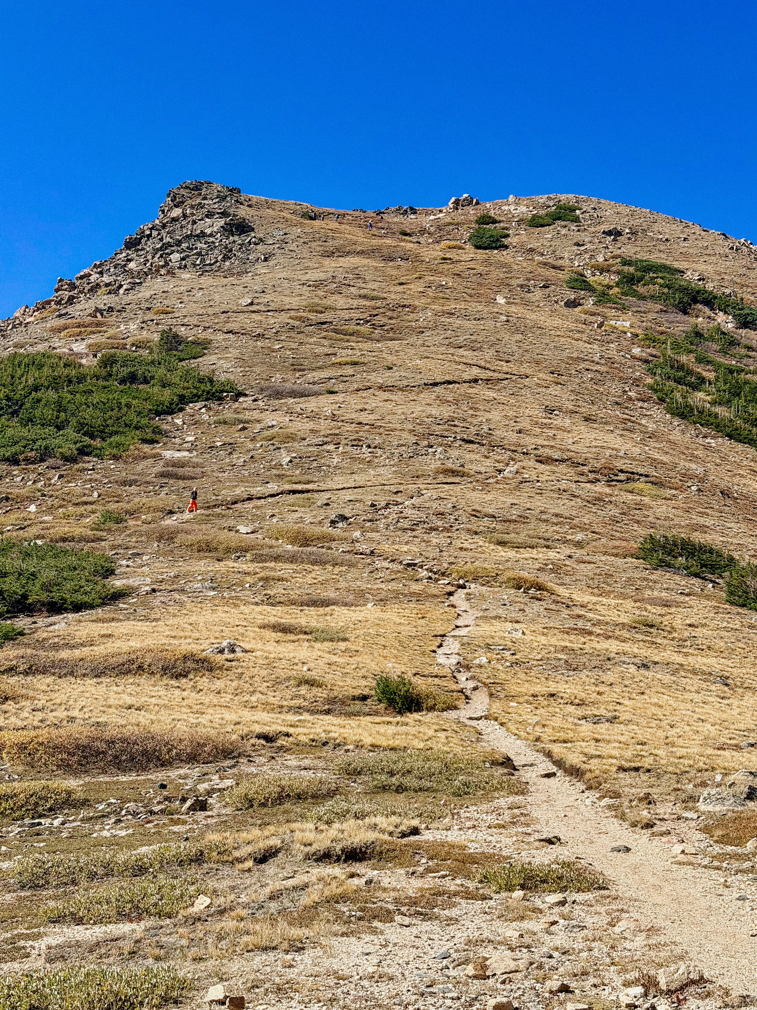
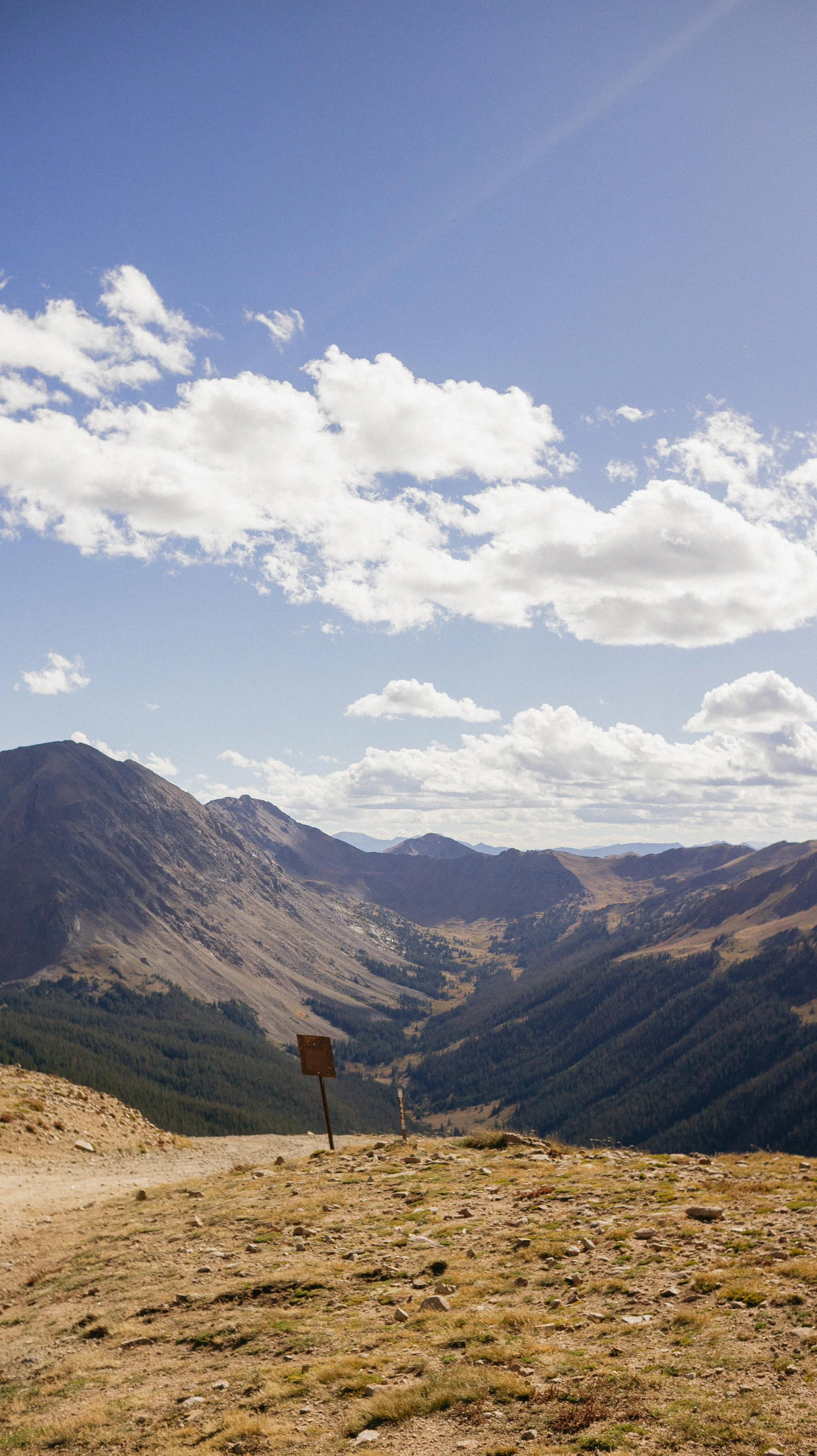
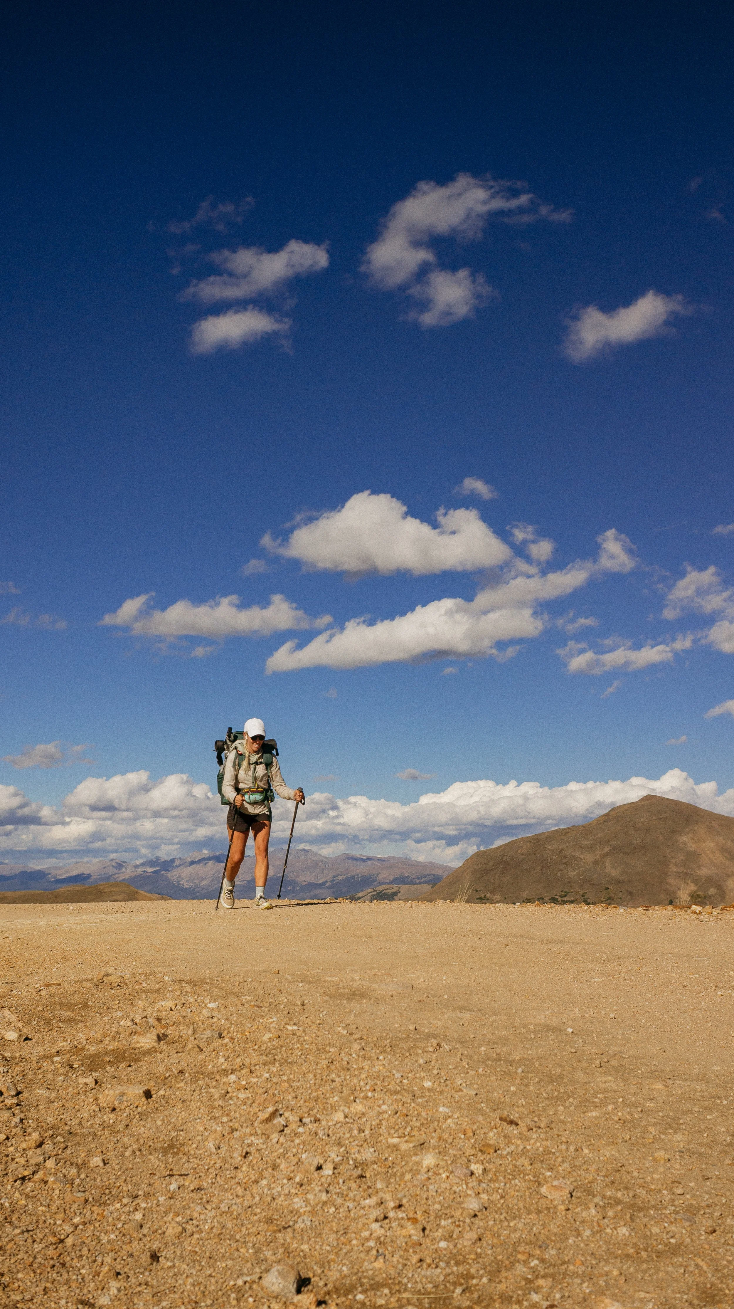
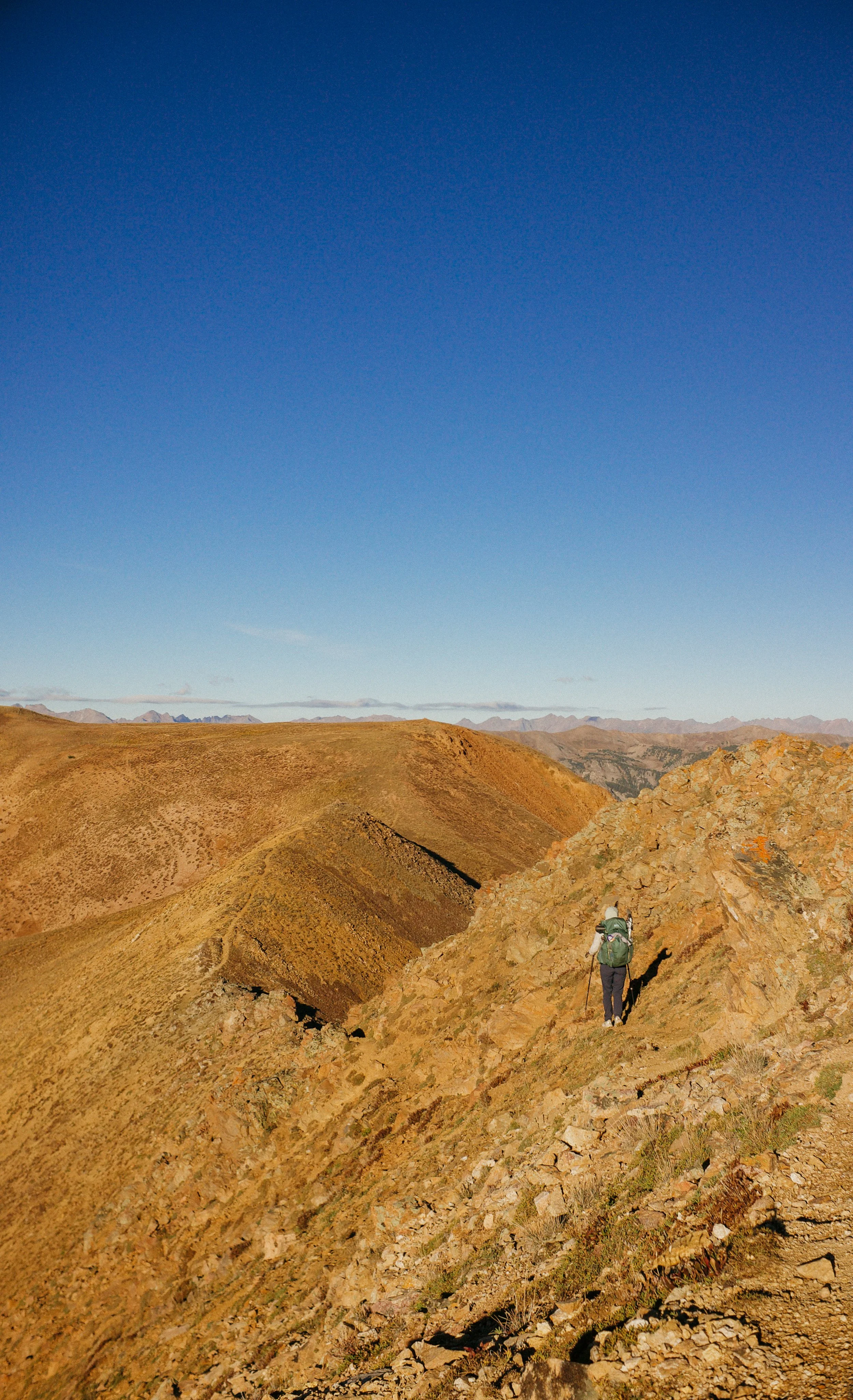
This initial section was above Ridgeline and the views from the top of this area were expansive. It was a bit intimidating to see all the peaks that we had left in Colorado.
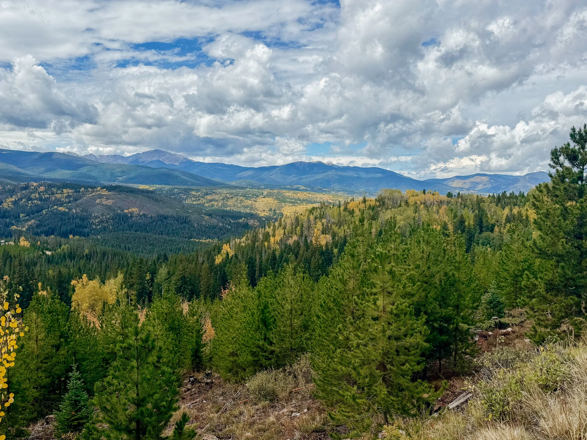
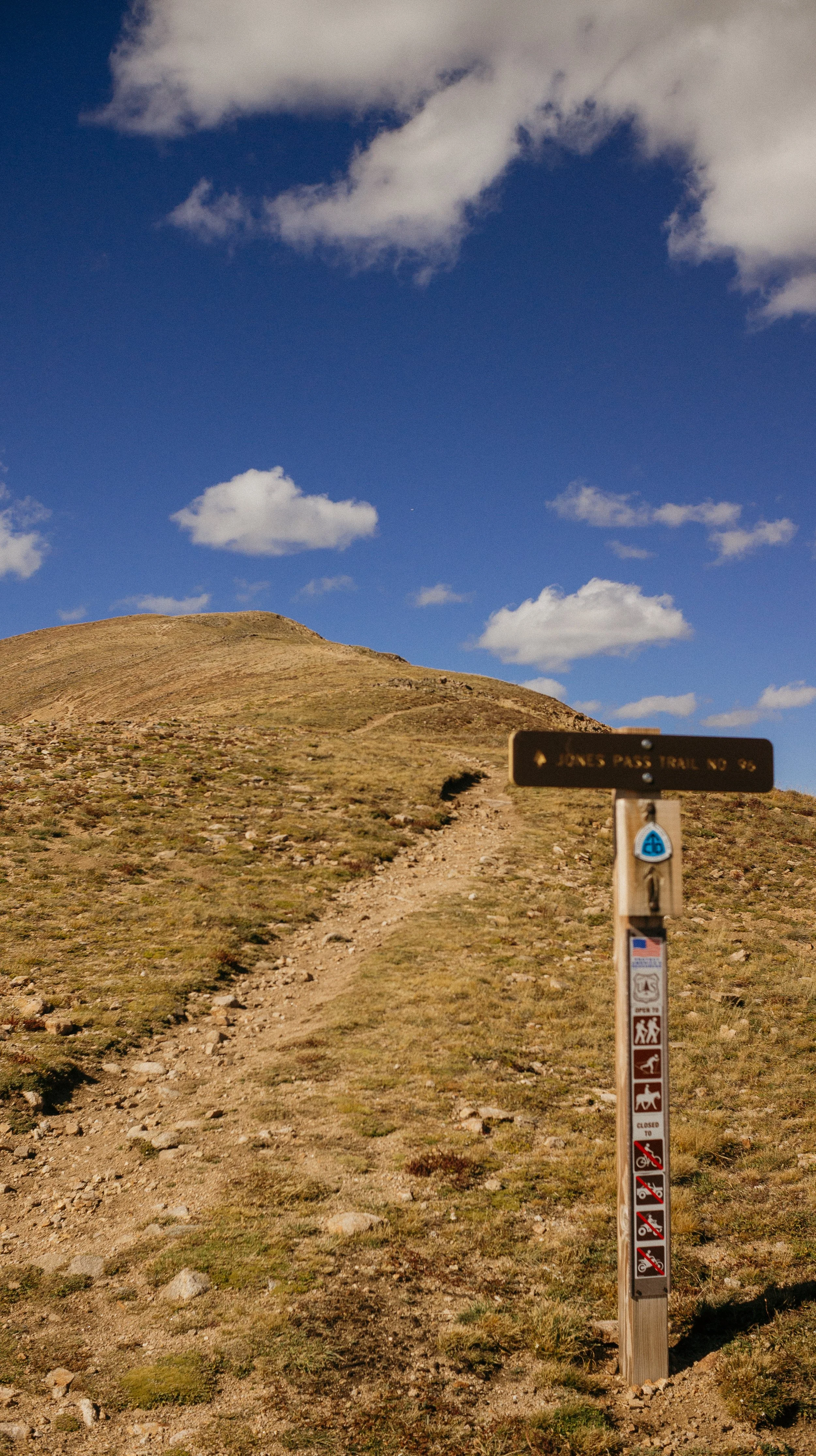
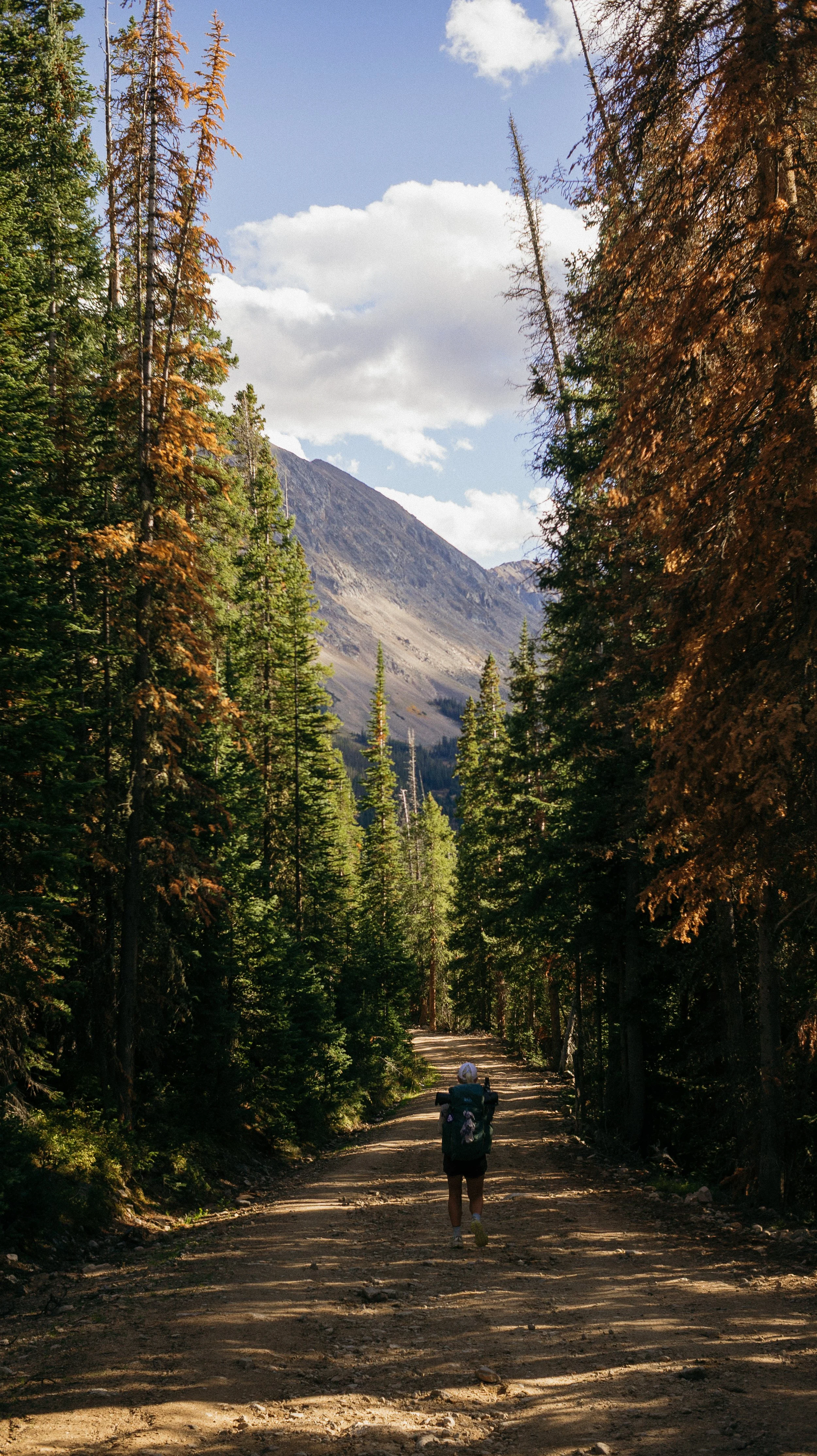
Just as this part went up it immediately went back down. And then you guessed it. It was going to be back up and down. Jones pass Road was a good alternate because the winds were still strong from the day prior and at the top of that pass it unlocked even more views. The aspen, of course, were incomprehensible as you looked out as this expanse.
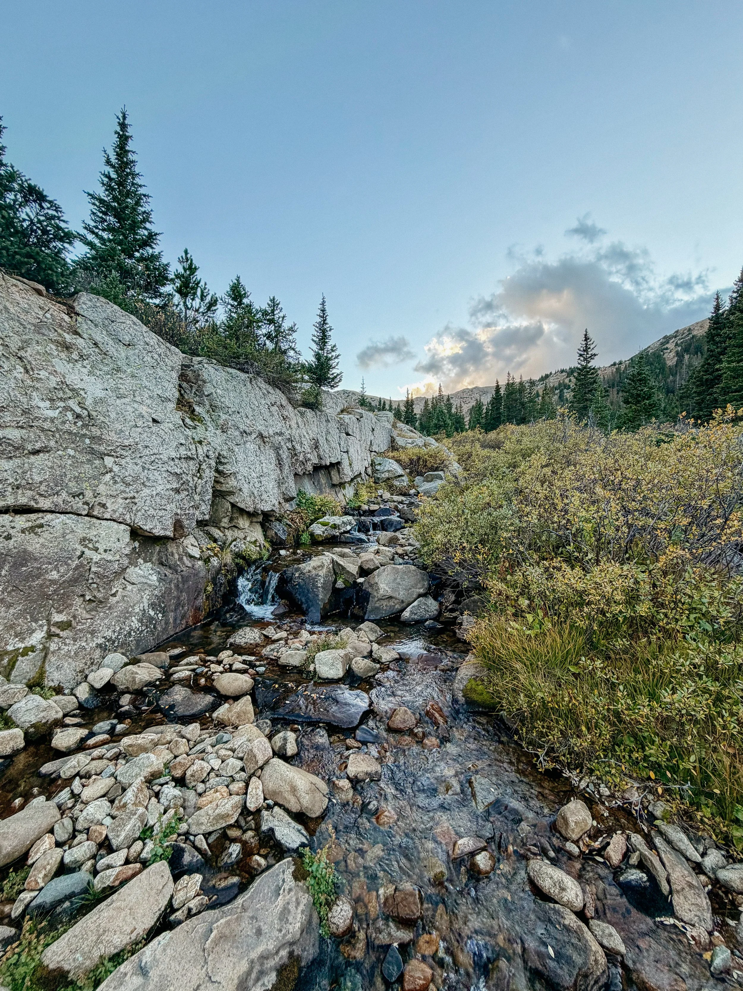
I ended up camping with George in a large canyon further than I originally thought to try and make it as far so the day following would be easier. The river source looks like Rivendell in the flesh and the canyon I was in could not have been more perfect.
-
SLEEP: Denver at Alex’s house
MILES: 17.9
ELEVATION GAIN: 3841 ft
ELEVATION LOSS: 6027 ft
WEATHER: Cold, Sun, Clouds, Drizzle
OVERVIEW: Happy to be in Denver!
The only thing I had to do for the day was 17 miles into Silverthorne and get the bus to the Frisco transit station which would position me for the bus into Denver.
My tent was frosted over and I was freezing as I broke down camp! The 17 miles ended up being very difficult with a lot of serious elevation gain that made moving quickly feel impossible. The day of hiking flew by because for a while it felt like George and I were on track but then afternoon miles came slow.
We got near Silverthorne and realized it was a mile and a half to the bus station. There were no Ubers and a taxi company wanted $120 for a 15 minute ride. So we ran. A very nice guy named Tyler rolled up beside us and offered a ride over to Frisco. Of course he was a hiker because a lot of our the kindness we received on the trail from hikers. He dropped us off at the brewery near the transit center and turned out our bus was 45 minutes late anyway. So we had a full meal and celebrated being nearly halfway to end of the state.
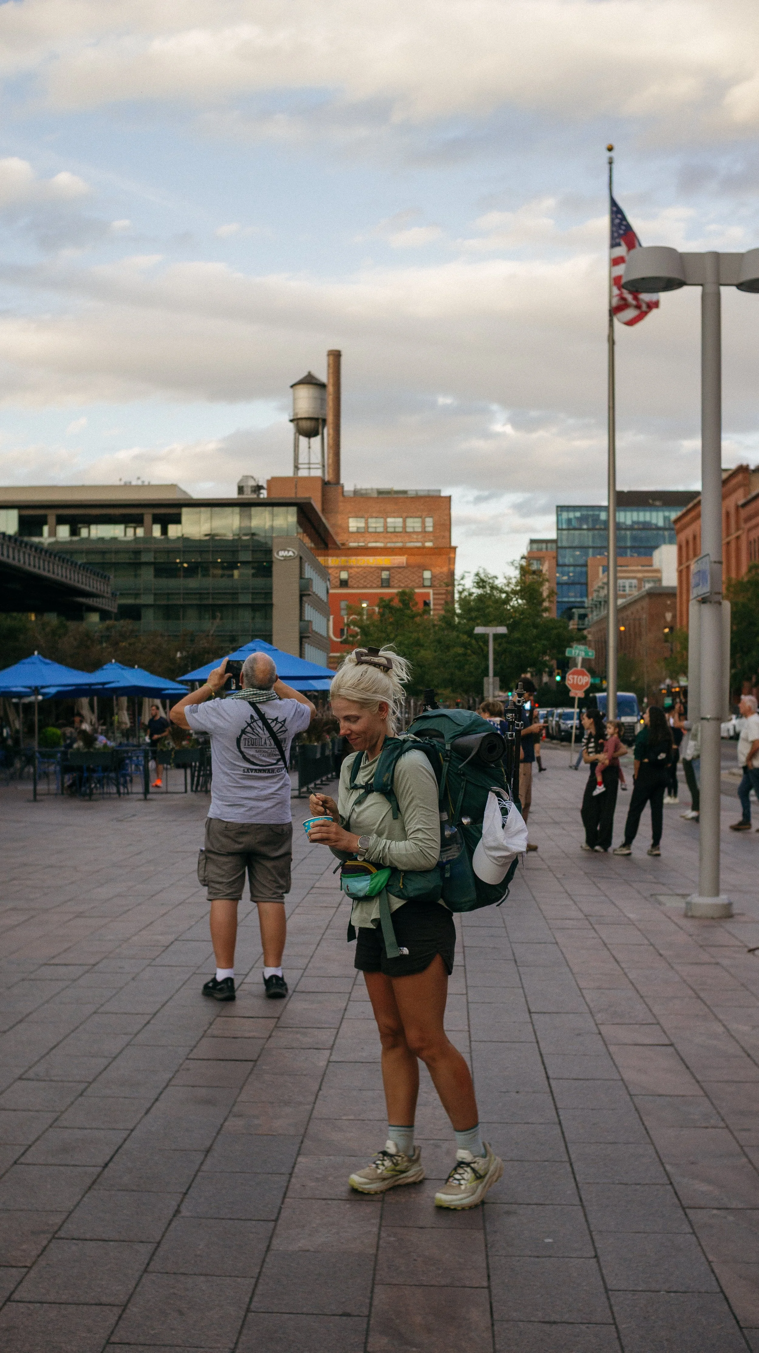
The bus ride was smooth and I was back in my old stomping grounds. We landed at Union Station and this is the most people we had been around since Chicago. I got ice cream there and walked around some of my favorite parts of downtown Denver. I would be staying with my friend Alex - who I met on the Camino Frances. Although her flight was supposed to have arrived around the same time as my arrival… hers got canceled. So I went to her house with detailed instructions of how to get in. A shower and snacks at the end of a day that started seemingly so long ago, was a perfect way to wrap up the day.
-
Waking up knowing it is a zero so lovely day. My friend Alex from the Camino lived a walking distance from grocery store so George and I resupplied in the morning. I had some blood work done at my original primary care physician who lives near Denver. Then the rest of the evening was spent sitting on the couch and enjoying some basic amenities.
The next day was not planned to be a zero but sometimes it turns out that way. I met my friend Jaclyn for breakfast, which was such a treat! I met her son and watched him play as we caught up over coffee.
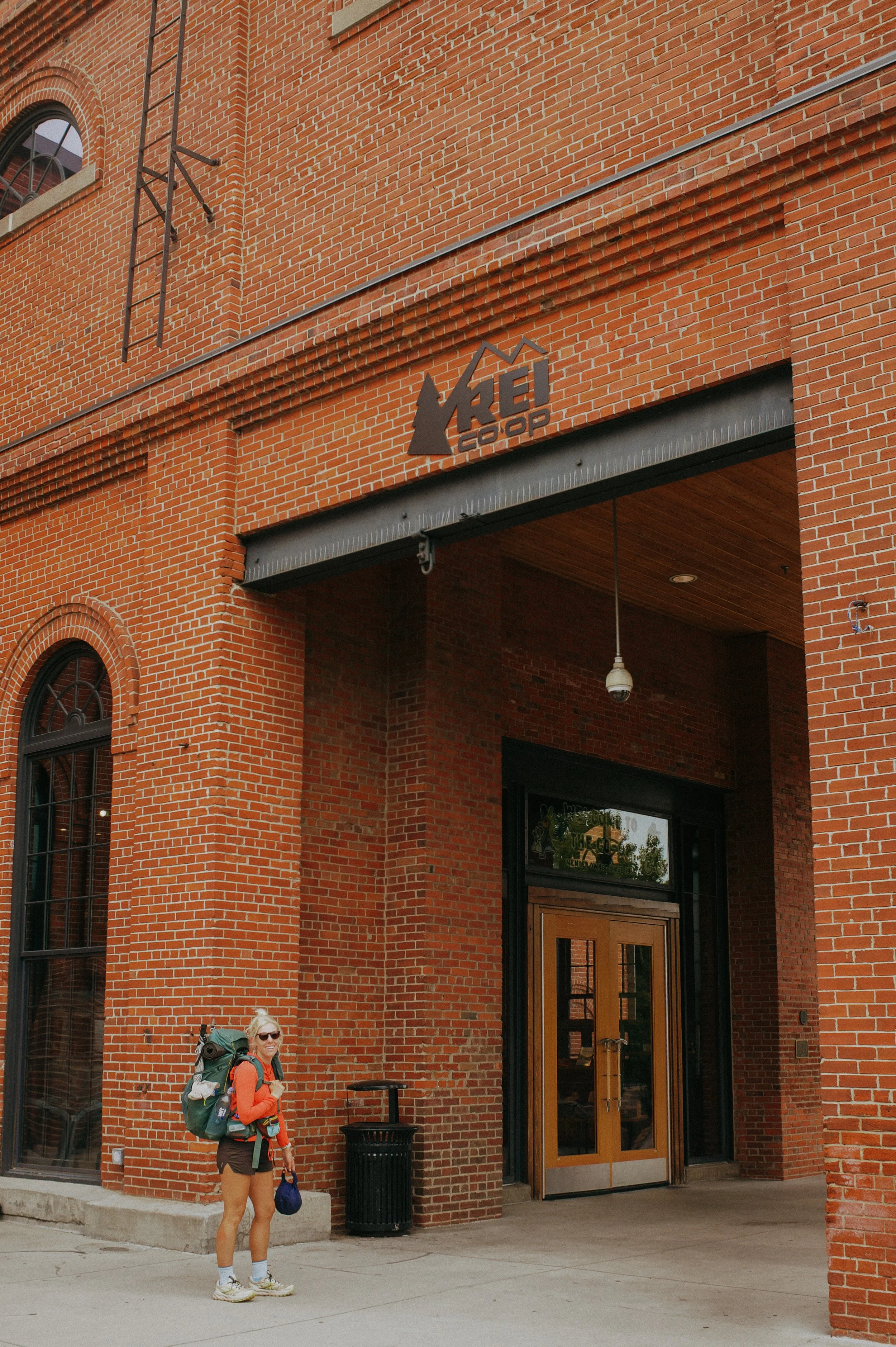
Slowly, I packed up and made my way back downtown Denver. A quick stop at REI turned into a long stop at REI because with my backpack on, people had questions. George and I took the bus back to Breckenridge to hike a couple miles in for the day. But my friend from the PCT, Juice, reached out and we stayed with her, her partner, and their eight week old puppy juniper!
GALLERY