Continental Divide Trail: Steamboat Springs - Grand Lake
INTROThe Continental Divide Trail is a National Scenic Trail spanning approximately 3,100 miles from Mexico to Canada (or vice versa) through Montana, Idaho, Wyoming, Colorado, and New Mexico, following the geological continental divide.
NOTE
I am hiking the Continental Divide Trail southbound from Canada to Mexico. This trail will complete my Triple Crown of hiking, which includes both the Appalachian Trail and the Pacific Crest Trail.
Unlike the Appalachian Trail and the Pacific Crest Trail, the Continental Divide Trail is somewhat of a choose your own adventure. Alternatives routes, and A variety of options allows this trail to be more fluid. I will do my best to explain the routes that I take in the detailed section.
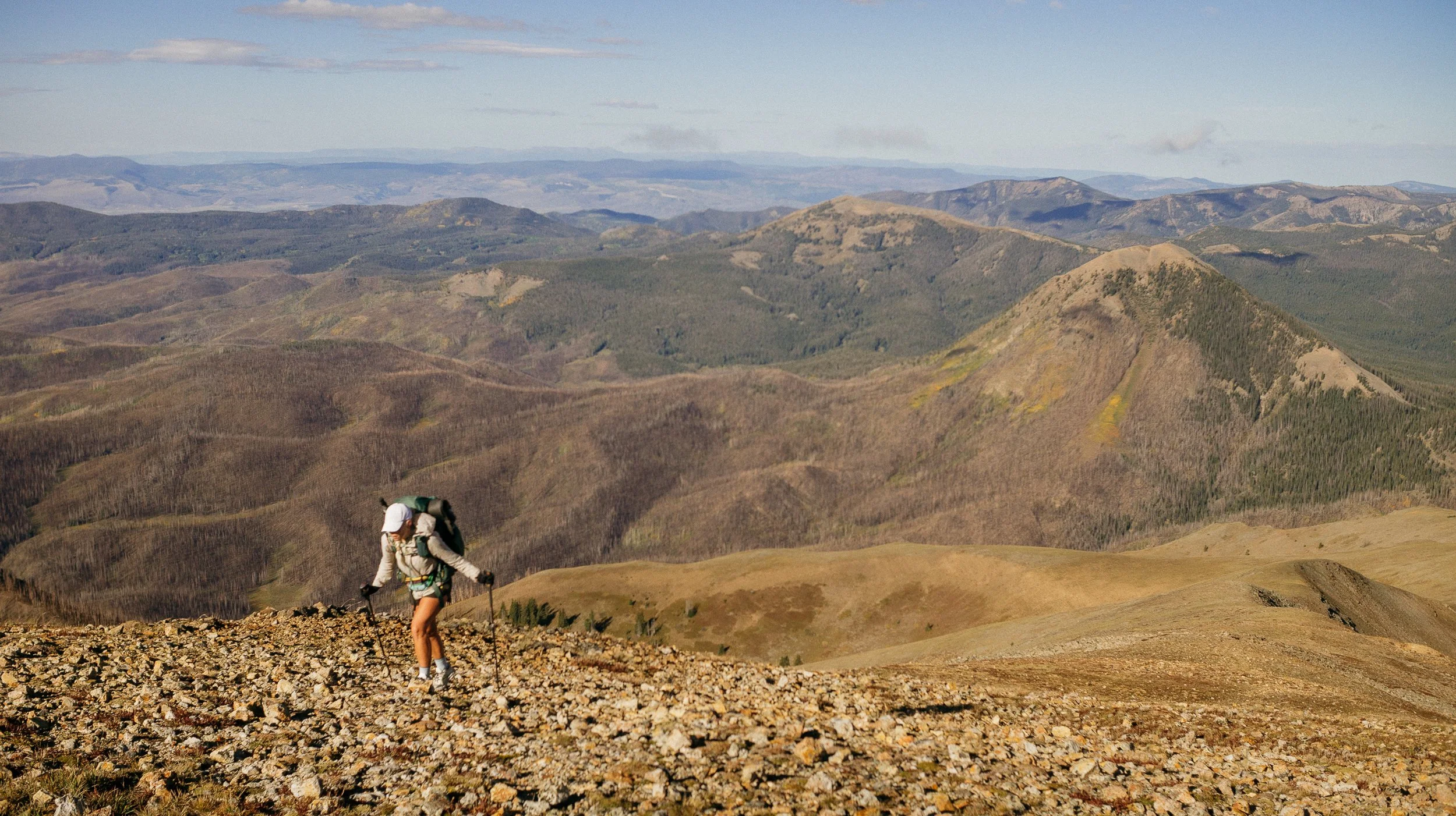
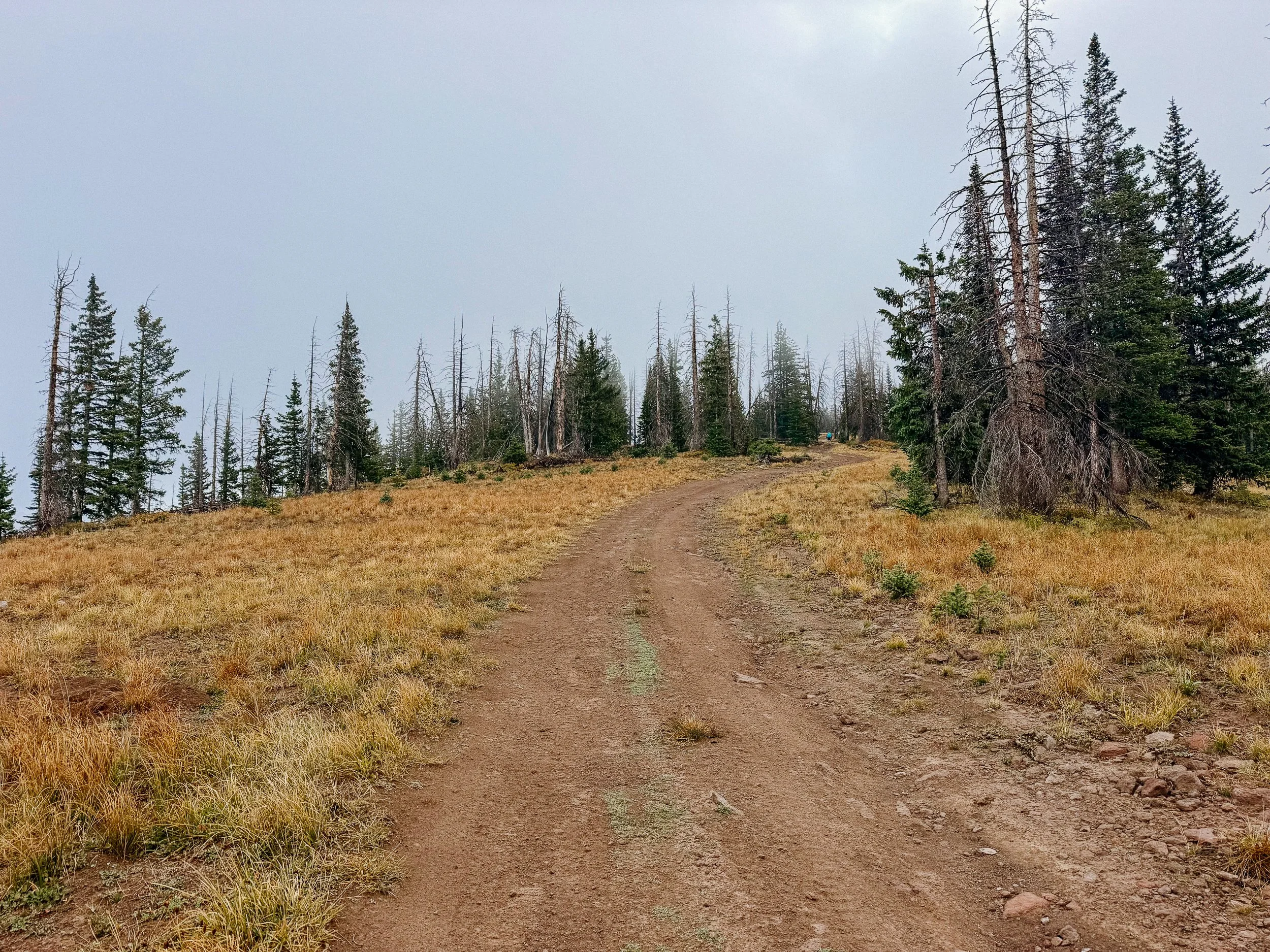
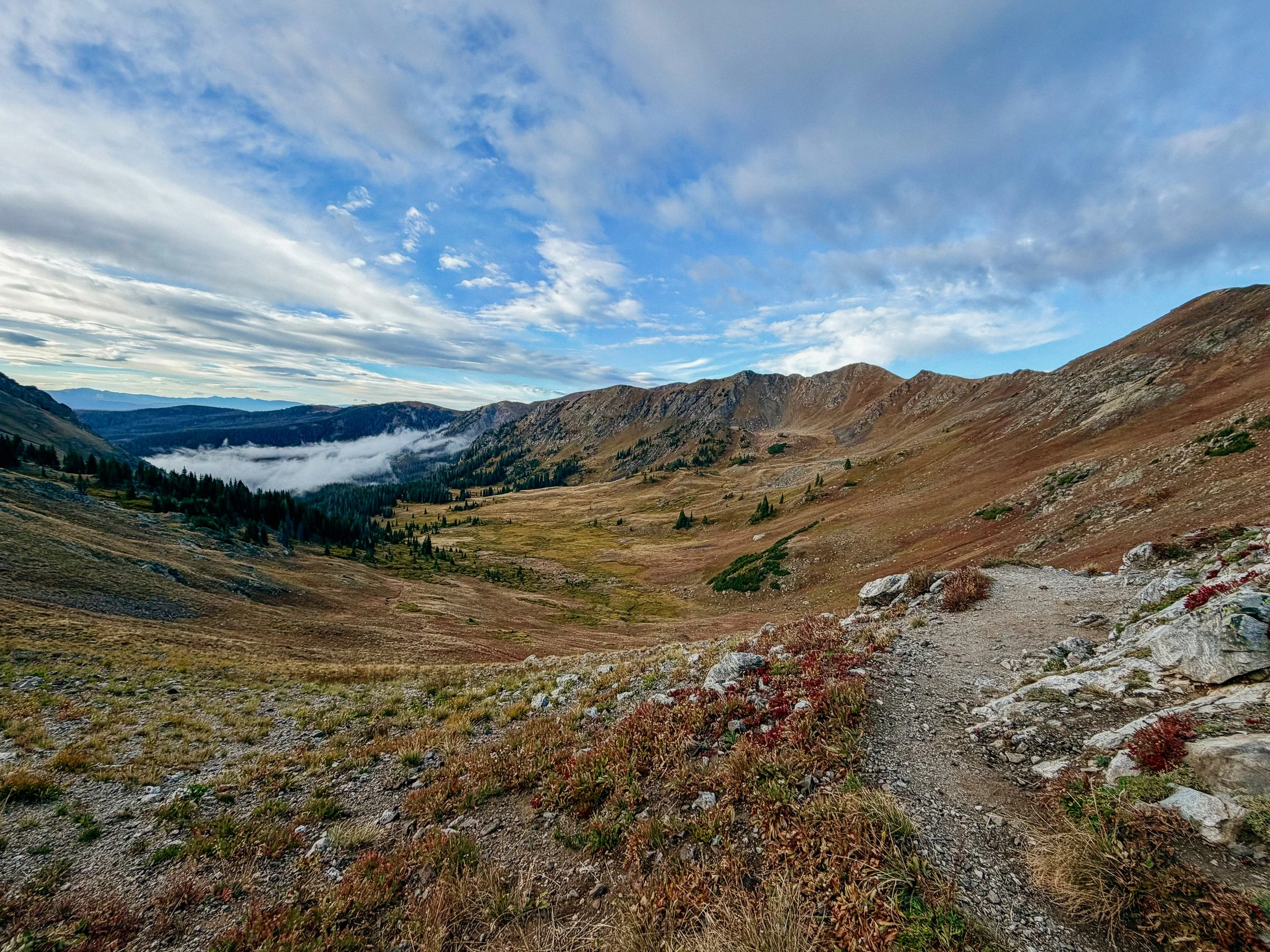
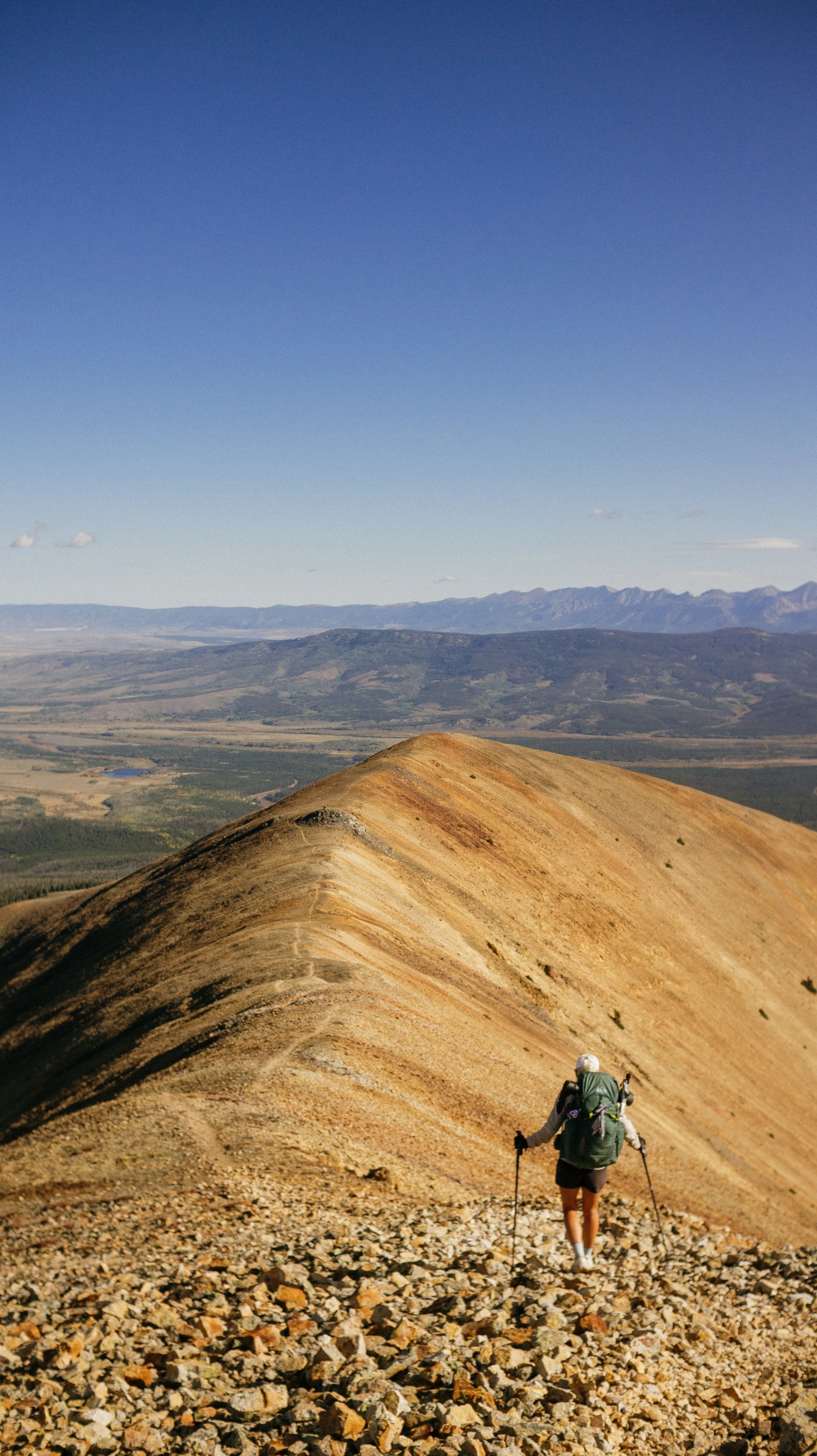
Near the top of the climb
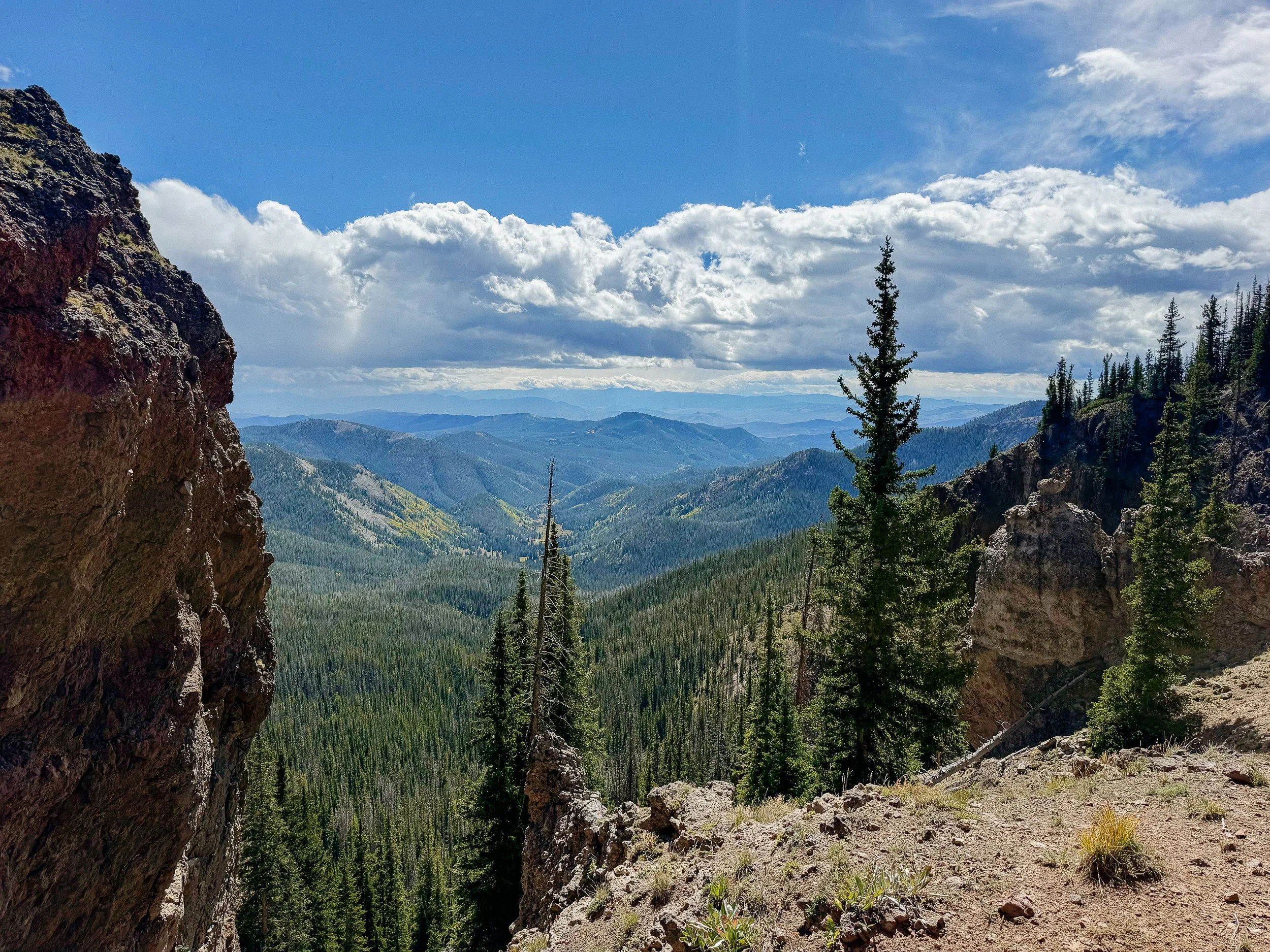
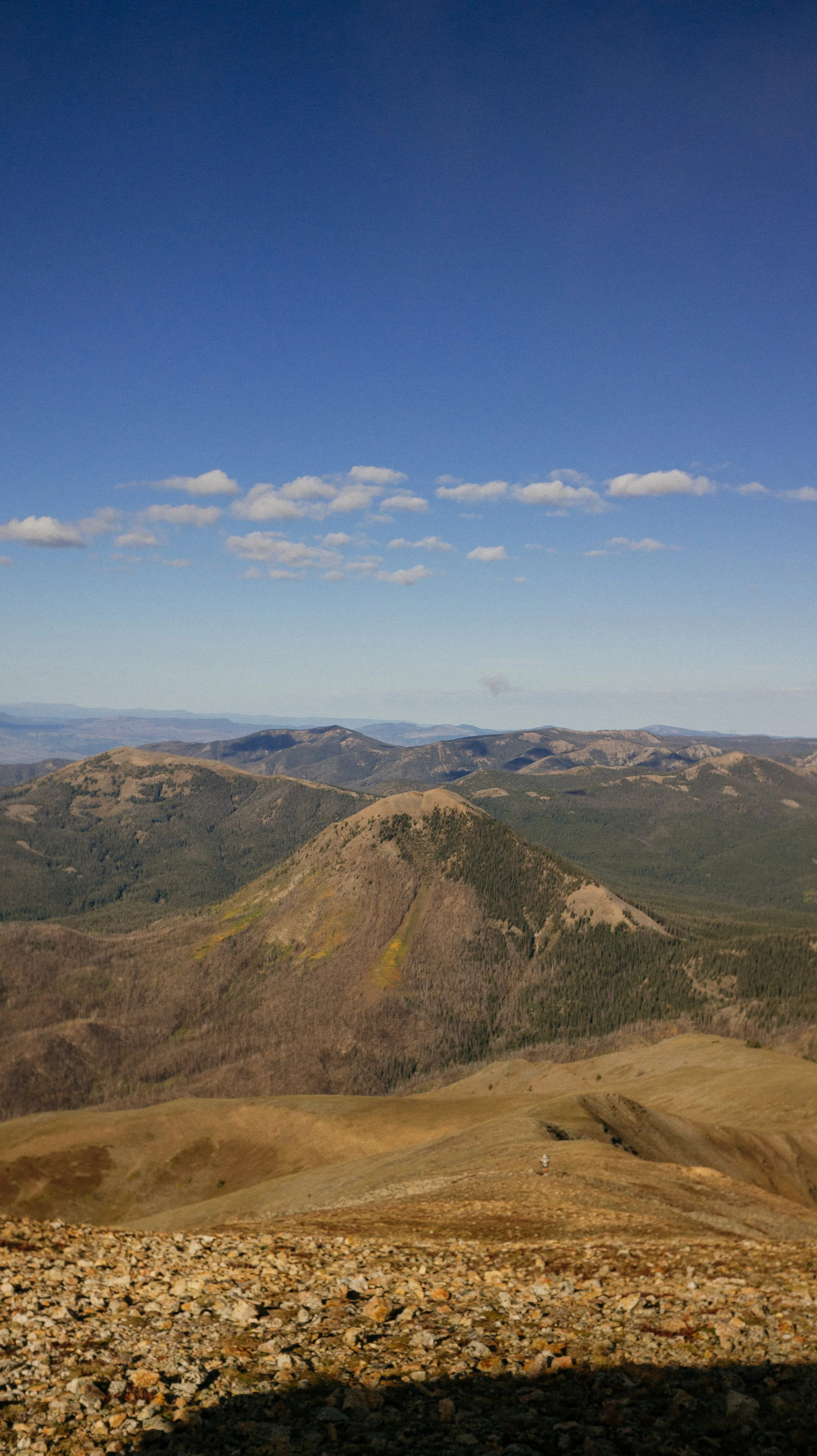
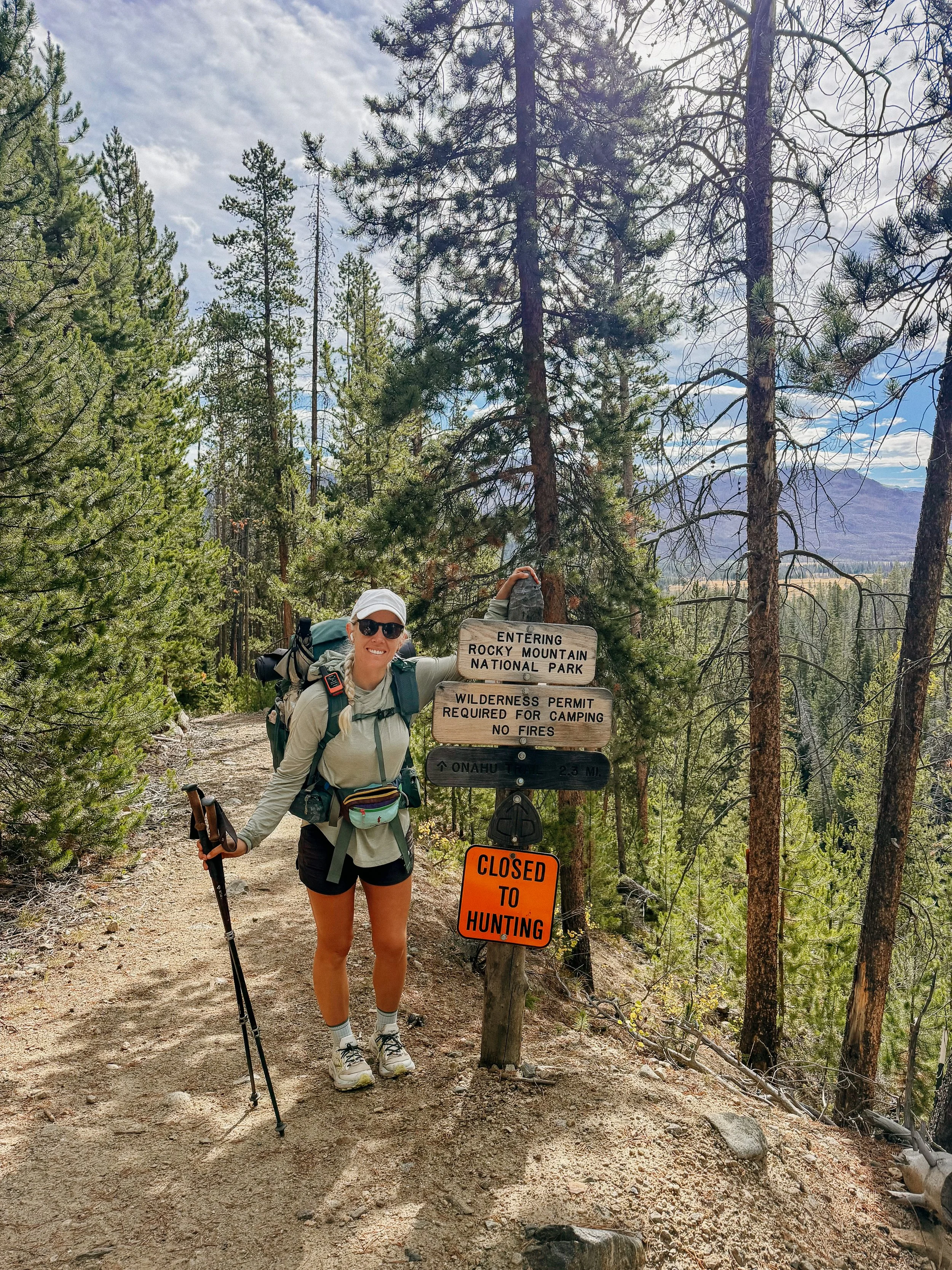
Day 80 - 83 took me from Steamboat Springs - Grand Lake, Colorado. This section was short but filled with many views as the trail climbed higher and higher in altitude. It entered Rocky Mountain National Park, the third and final National Park of the trail, while the aspens really began to show off. This made up for the storm systems that plagued each afternoon and evening.
OVERVIEWTOTAL DAYS4
FULL HIKING DAYS4
zeroes0
neroes0
TOTAL ELEVATION GAIN13,648 ft
TOTAL ELEVATION LOSS13,711 ft
MILES COVERED81.1 miles
-
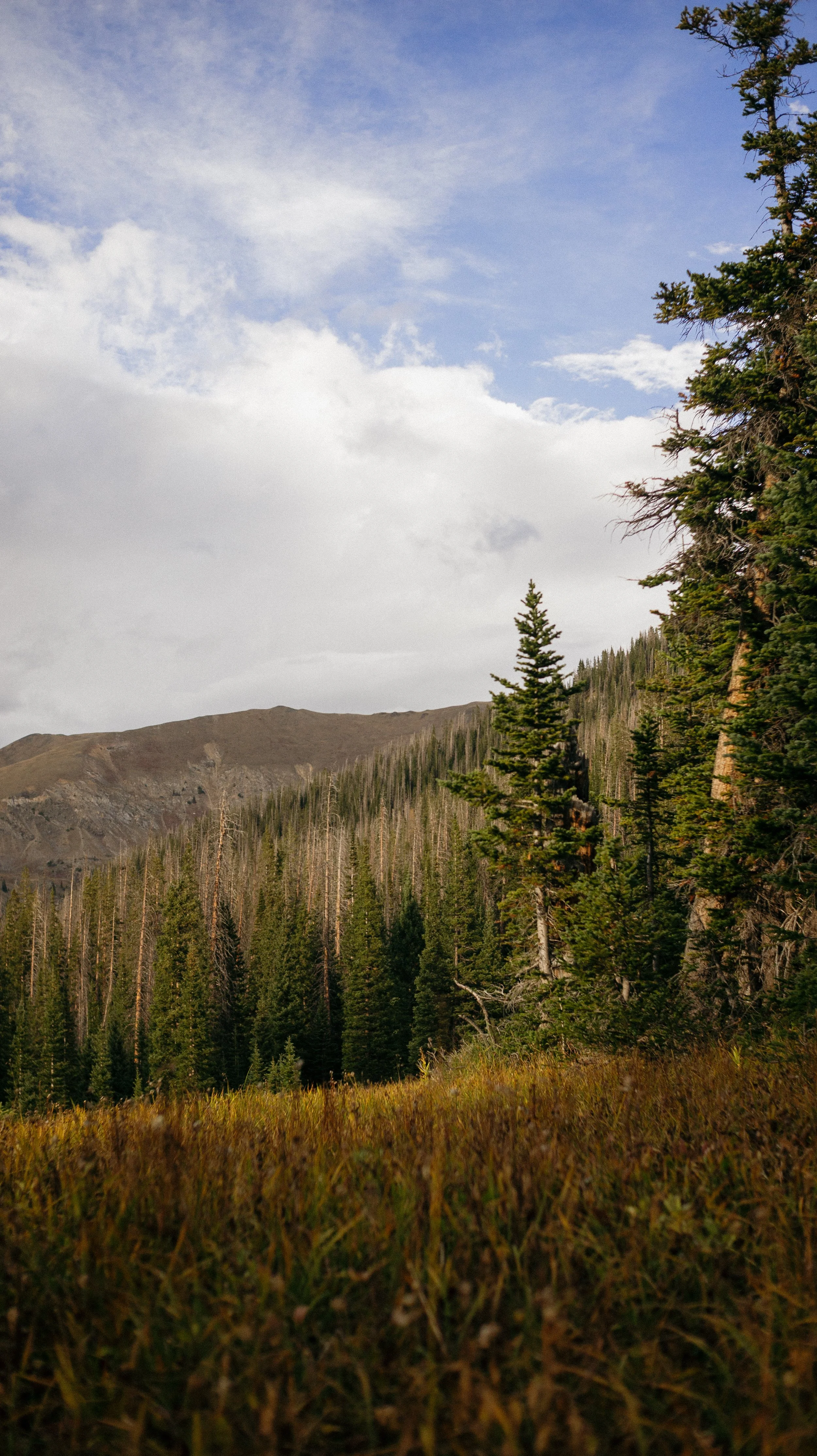
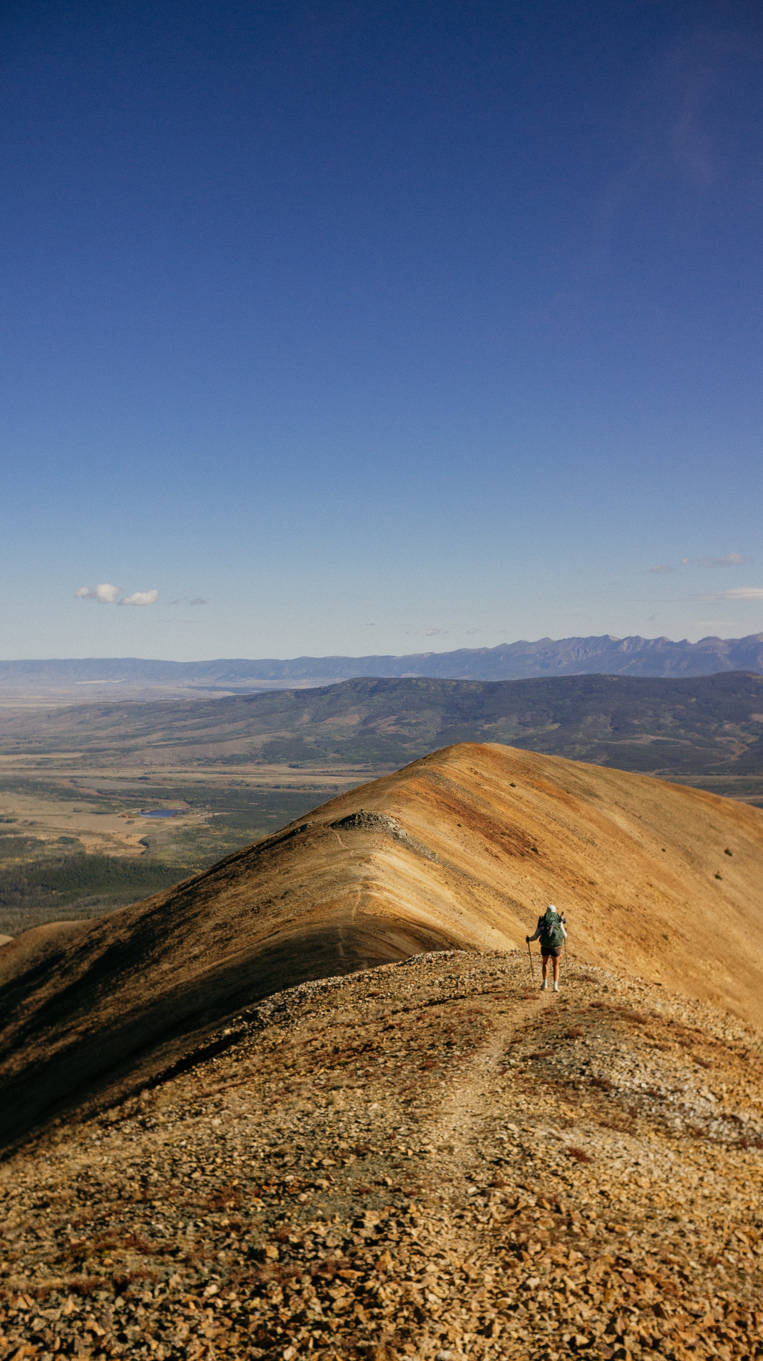
More beautiful Colorado scenery; Rocky Mountain National Park
Meeting up with large group of hikers in Grand Lake
Feeling healthy at altitude
-
Thunderstorms daily throughout the section
Road and ridge walks that were never ending
Tent leaking with no help from the company
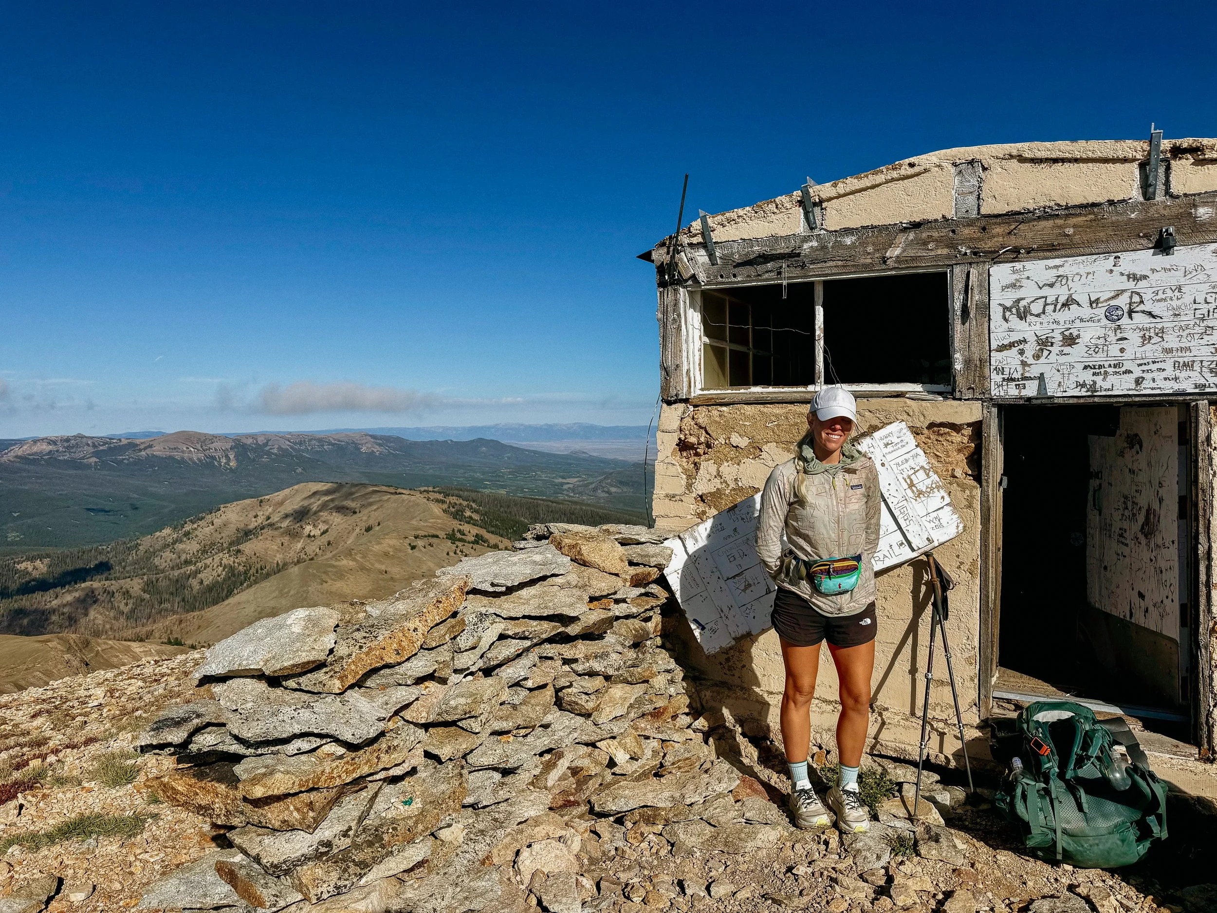
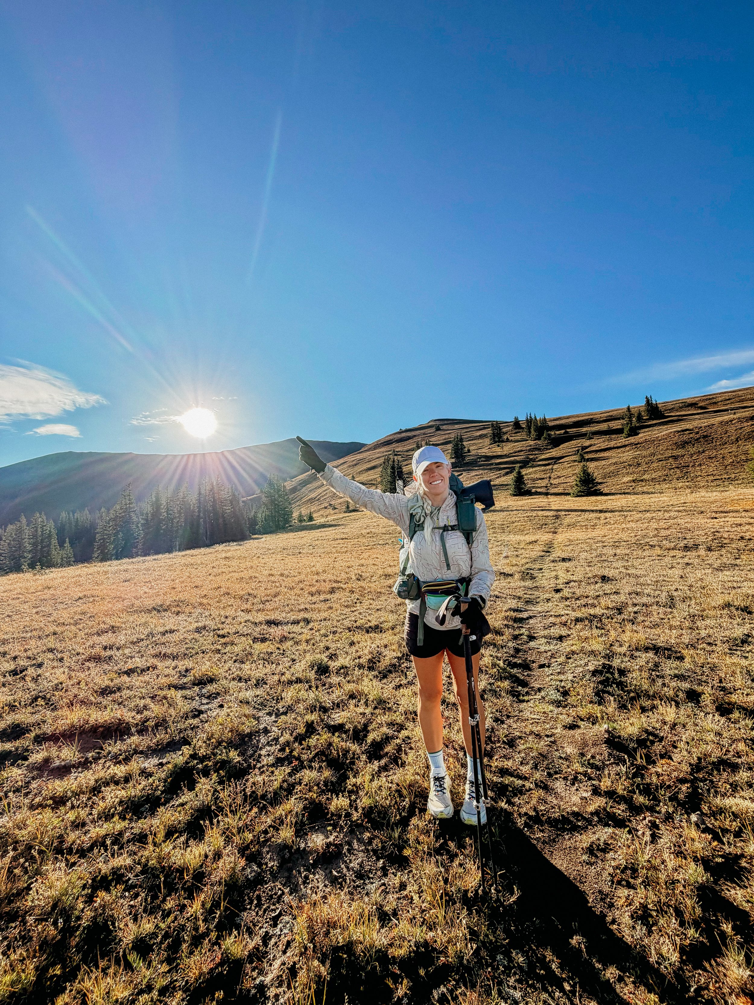
Finally made it to the top!
In Depth
-
SLEEP: Camp at Mile 1588.9
MILES: 19.6
ELEVATION GAIN: 1857 ft
ELEVATION LOSS: 489 ft
WEATHER: Sun, Thunderstorm
OVERVIEW: Thunder nearly on top of me!
Because I had Airbnb with a full kitchen until 10:00am, I did not leave until 10:00am. I made a large breakfast and for the first time in a long time, I felt fully satiated after so many days with a full kitchen.
The town of Steamboat Springs is very hiker friendly and at the visitor center they hand out goodie bags to hikers. One of the items a coupon for a free coffee at Dusty Grouse coffee shop. So before heading the trail, George and I went there to have one more snack and the coffee.
Once I started hitching, it was a quick ride up to rabbit years pass. Our driver Pat drove us a little bit further on a dangerous highway section that does not have much of a shoulder. From there, it was dirt roads for the next two days. At the trailhead we met Andres, a thru-hiker turned section hiker because things were too beautiful to rush!
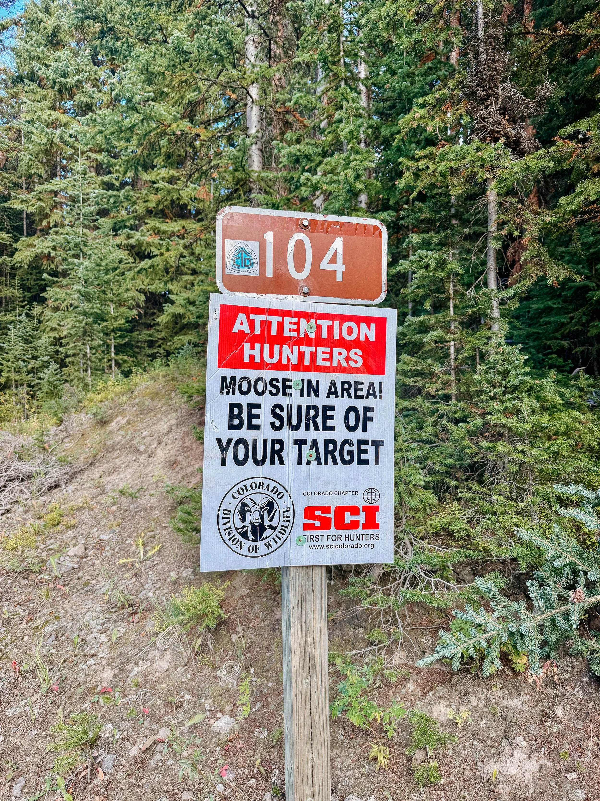
I knew that thunderstorms were rolling in later that night so I pushed hard on the dirt road until there was a small camping pull off. Throughout the section, there were many hunters which were really the only people that I would end up seeing. There were not a lot of day hikers or any other campers.
Just as my tent was set up and I was tucked in a huge thunderstorm rolled through. It was one that shook your chest because it’s so loud and close. I was thankful to be a little bit lower within some trees rather than up on a ridge.
-
SLEEP: Camp at Mile 1610.2
MILES: 21.5
ELEVATION GAIN: 4908 ft
ELEVATION LOSS: 4662 ft
WEATHER: Thunderstorm, Cloudy
OVERVIEW: So many ridges and roads
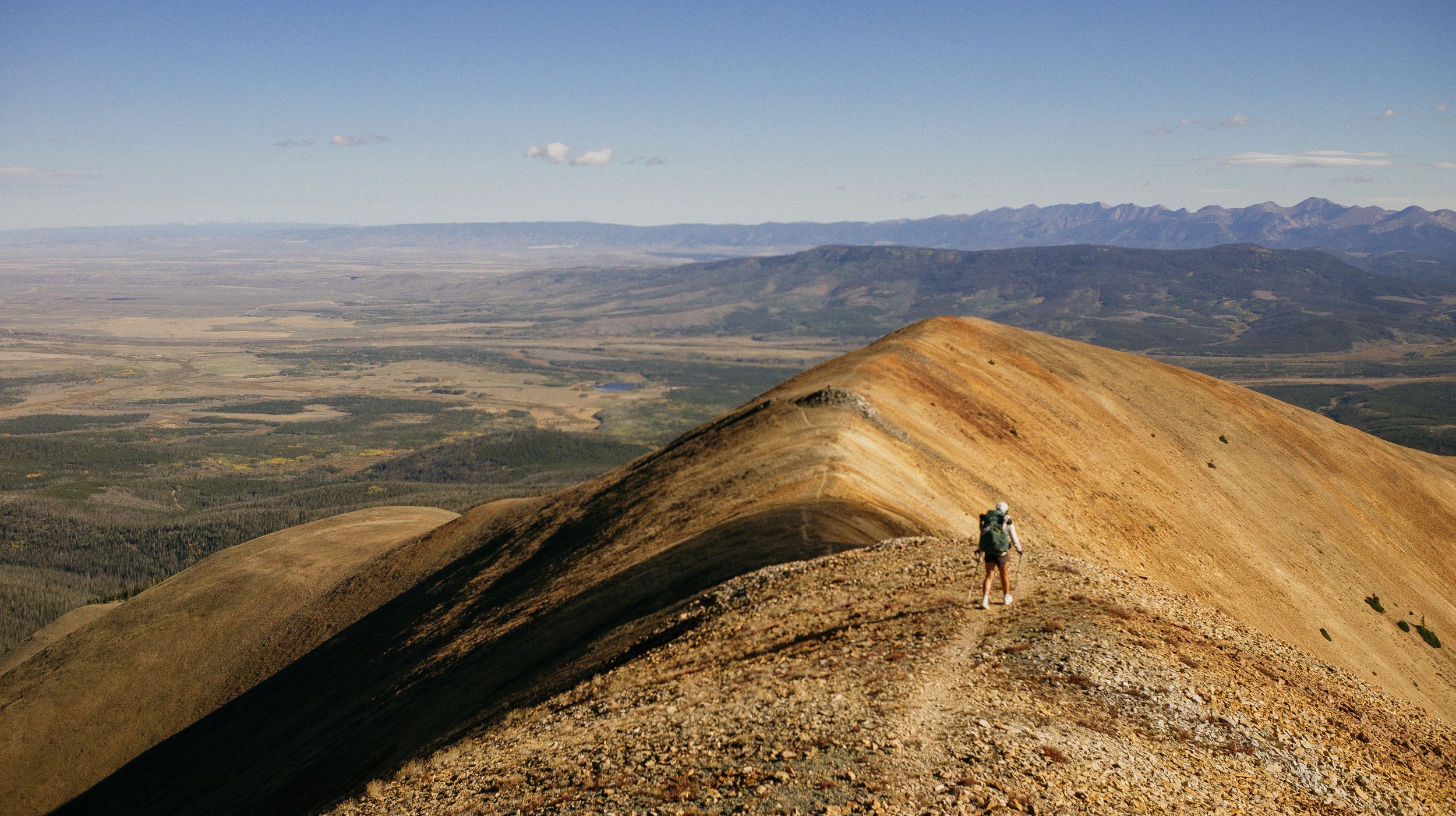
This day was full of ridge road walks. These gravel and dirt roads wound up the mountain and spat you at the top with some fantastic views. Again, there were so many hunters out that if I were in distress of any kind I would’ve been able to find someone with a vehicle quickly.
The day held storms on and off varying from a sprinkle of rain to a complete deluge with hail included. At one point, George and I rounded a bend and luckily came back down into tree line just as a huge thunderstorm was rolling across the area. We hid a clump of trees for about 30 minutes as hail and thunder and lightning blew through. Because the trail is so high on these ridges, you can see the thunderstorm cells coming for a long time. Sometimes you can’t really do anything about your position in relation to these storm cells but… at least you can see it coming.
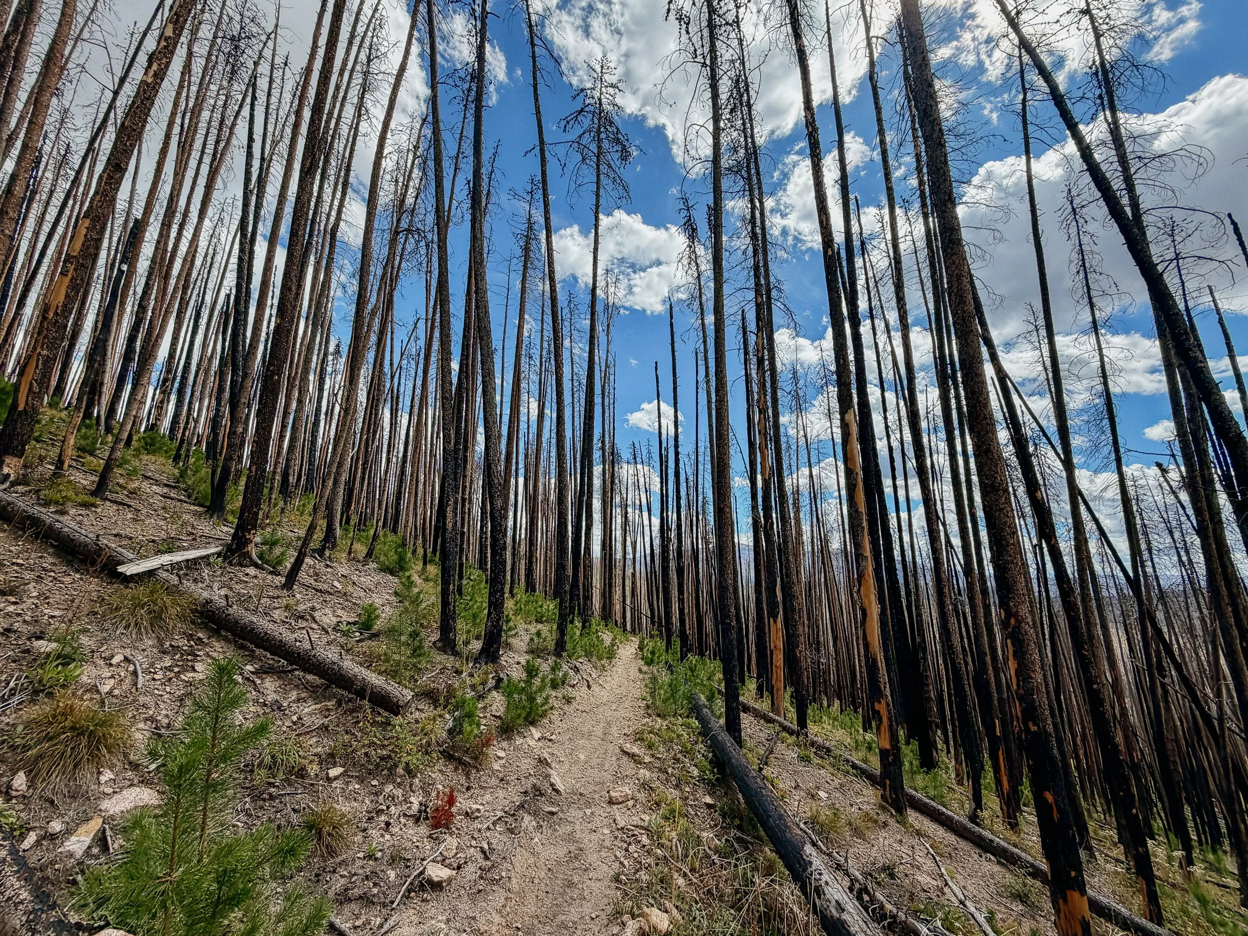
The rest of the day was somewhat frustrating as it held short, but steep up and down through burn areas. This limited where I could camp because I do not want to be around dead trees. George and I finally settled our tents near the base of Parkview Mountain, which would be a formable climb in the morning.
-
SLEEP: Camp at Mile 1631
MILES: 19.7
ELEVATION GAIN: 5390 ft
ELEVATION LOSS: 5030 ft
WEATHER: Sun, Wind, Thunderstorm
OVERVIEW: Getting higher and higher
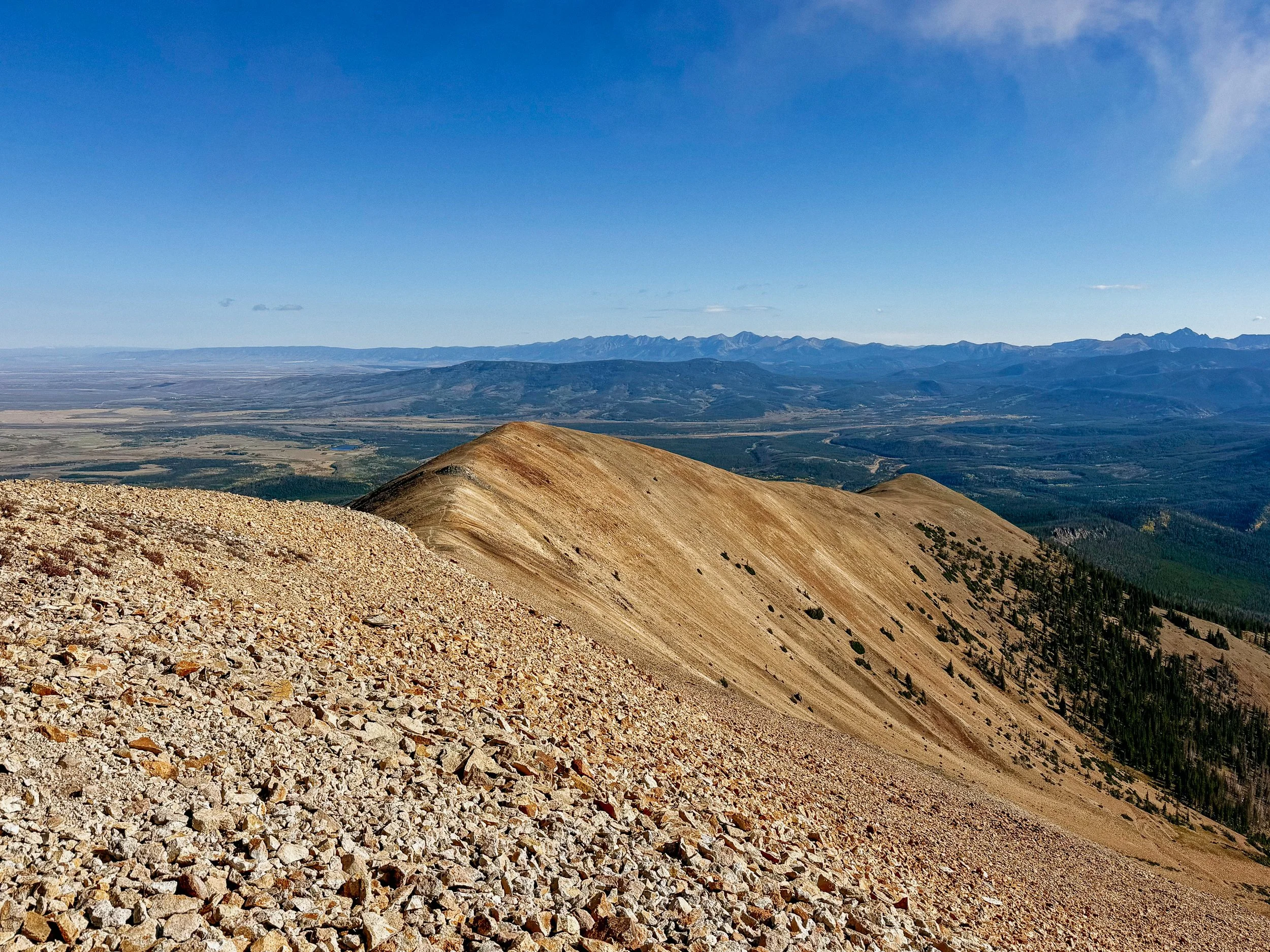
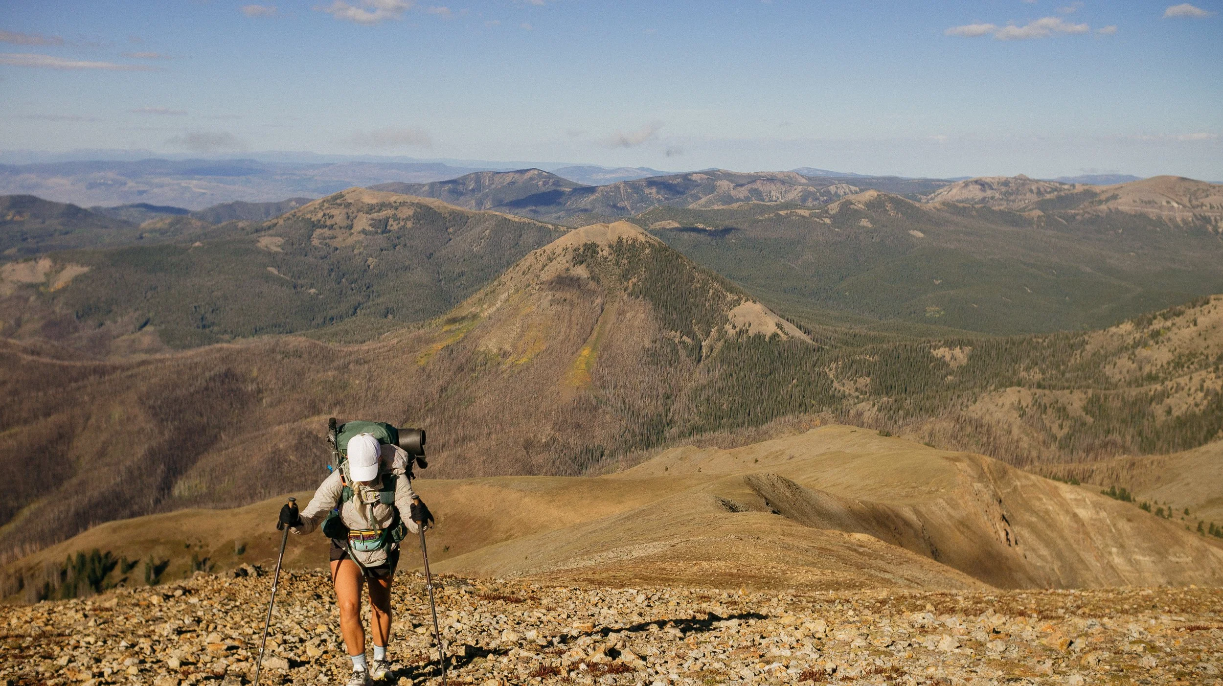
As predicted Parkview Mountain was quite a climb. It was one of those climbs that you could see the trail long before you arrive. And as you saw this trail, you thought there’s no way that could possibly be it. But it was. Of course.
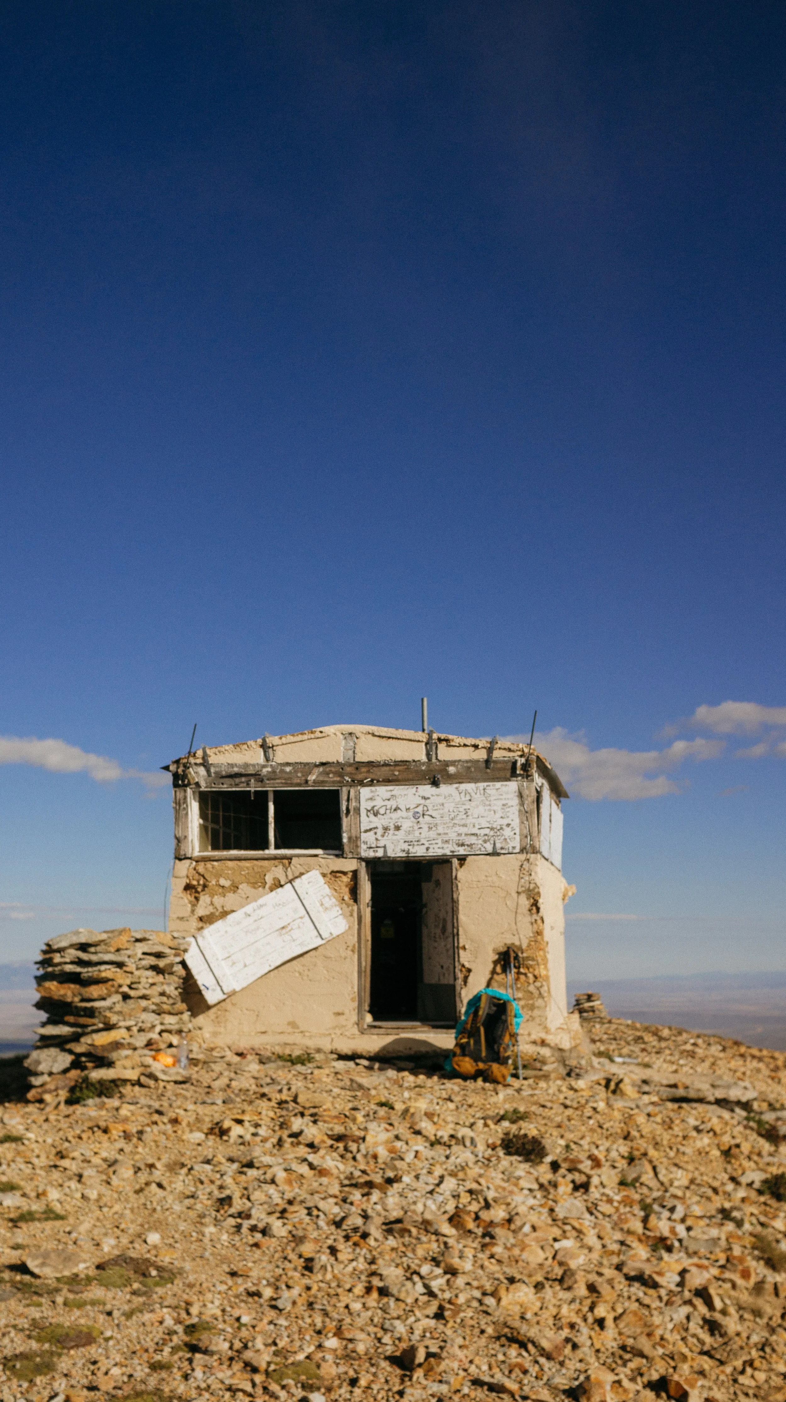
There was a small hut at the top of Parkview Mountain that blocked the wind so George went ahead because he is much faster at ascents than I am. And I took this ascent comically slow. They named it Parkview Mountain because you overlook Rocky Mountain National Park and the views were amazing. I had a little snack at the hut, checked the weather forecast with the cell service provided above the clouds, and saw that it was going to be stormy the next few days. I made reservations to have a roof over my head whenever I arrived in Grand Lake.
There was a stunning descent that continued on forever. Don’t worry once I got down to the bottom road… it went directly back up. As would be the story for Colorado on the CDT.
The afternoon held storms on and off and more absolutely ridiculously steep ascents. At one point, I was sitting on a log catching my breath because the section also went very high in altitude and hunters popped out from the woods and absolutely terrified me. Make your presence known!
We both camped near a good water source but very high. This would be the theme for the remainder of Colorado camping around 11,000 feet or higher. It once again rained all night and I had some tent troubles with leaking. But I would be in Grand Lake tomorrow night and there was good gear store so I was hoping I could figure it out.
-
SLEEP: KOA in Grand Lake
MILES: 20.3
ELEVATION GAIN: 1493 ft
ELEVATION LOSS: 3530 ft
WEATHER: Sun, Rain
OVERVIEW: Thankful for a roof!
George and I got moving early because after such a steep and wet section (though not long) I was ready to have some town treats. While drying out my stuff. The reason for the camping location before was to prepare for Bowen Pass, which was so steep. I feel like a broken record because all of Colorado is pretty steep. Then it was a nice smooth downhill for many miles to Rocky Mountain National Park!
While living in Colorado between 2018 and 2024, I visited Rocky Mountain National Park countless times. There were trails that I was afraid to go on because they were too steep or hard. And I was told by someone important in my life that I was probably not physically fit enough to do them. Flash to 2026 where I am quite literally running through the park with a backpack on because I feel so good. It was a nice full circle moment and realization that a person can grow (physical fitness) and shed deadweight (former partner).
Just as we were coming to the main road a car pulled over and it was another hiker on a roadtrip. This was Scooter from California and she gave us some trail magic when we chatted trail. She was on the CDT two years prior, but got a trail ending injury that she is still sorting out. I’m hopeful she can finish the other half of the trail at some point.
I took a picture with a sign along the main road that I had taken last August. Knowing I would be here again this year and it’s a fun side-by-side moment.
We arrived in Grand Lake and I went directly to the community center because we heard they were hiker friendly. Turns out earlier that morning a thru-hiker assaulted a community center member. We got the information from the community center manager and could not identify him unfortunately. Luckily they caught him and he is now in jail going through the proper process. This could affect how the community center welcomes hikers in the future so this was immensely disappointing.
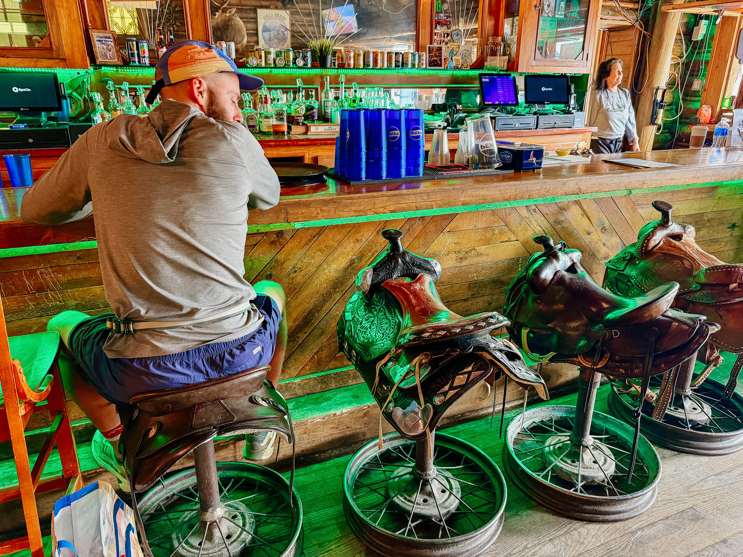
Walking around Grand Lake, we saw big group of other hikers – Coyote, Radio, Hoochie, Killjoy, and Indy. We all grabbed lunch together, and they were heading out that day because they were slightly ahead of us.
I grab some snacks for the night and headed to the KOA in town. Chores ensued, but I did get to use the grill which is a real treat. I was thankful to be in a tiny KOA cabin as I heard it rain all night long.
*note that RMNP requires a bearcan so I did the cutoff.
GALLERY