Continental Divide Trail: Rawlins - Steamboat Springs
INTROThe Continental Divide Trail is a National Scenic Trail spanning approximately 3,100 miles from Mexico to Canada (or vice versa) through Montana, Idaho, Wyoming, Colorado, and New Mexico, following the geological continental divide.
NOTE
I am hiking the Continental Divide Trail southbound from Canada to Mexico. This trail will complete my Triple Crown of hiking, which includes both the Appalachian Trail and the Pacific Crest Trail.
Unlike the Appalachian Trail and the Pacific Crest Trail, the Continental Divide Trail is somewhat of a choose your own adventure. Alternatives routes, and A variety of options allows this trail to be more fluid. I will do my best to explain the routes that I take in the detailed section.
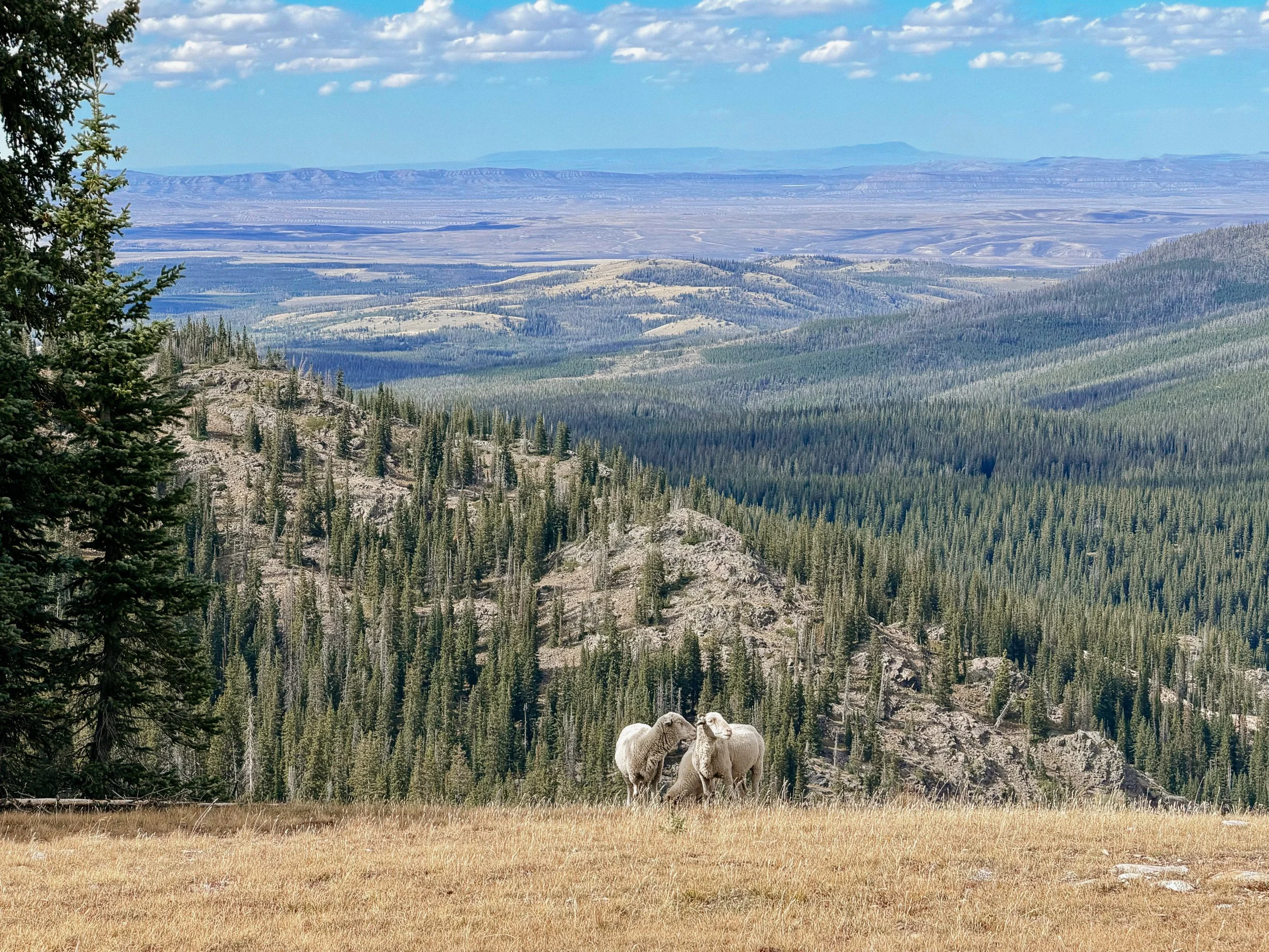
Sheep herd with the best view
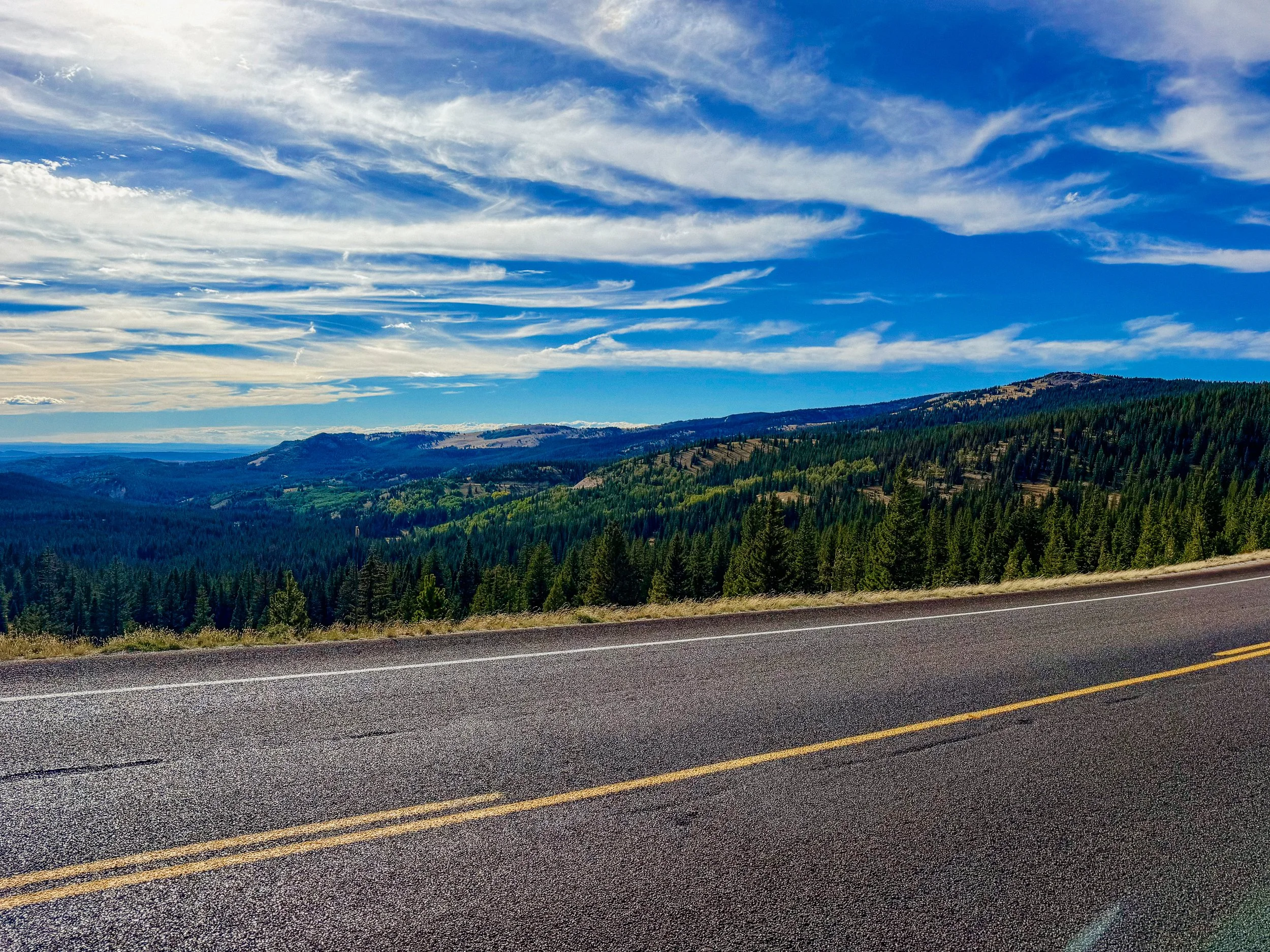
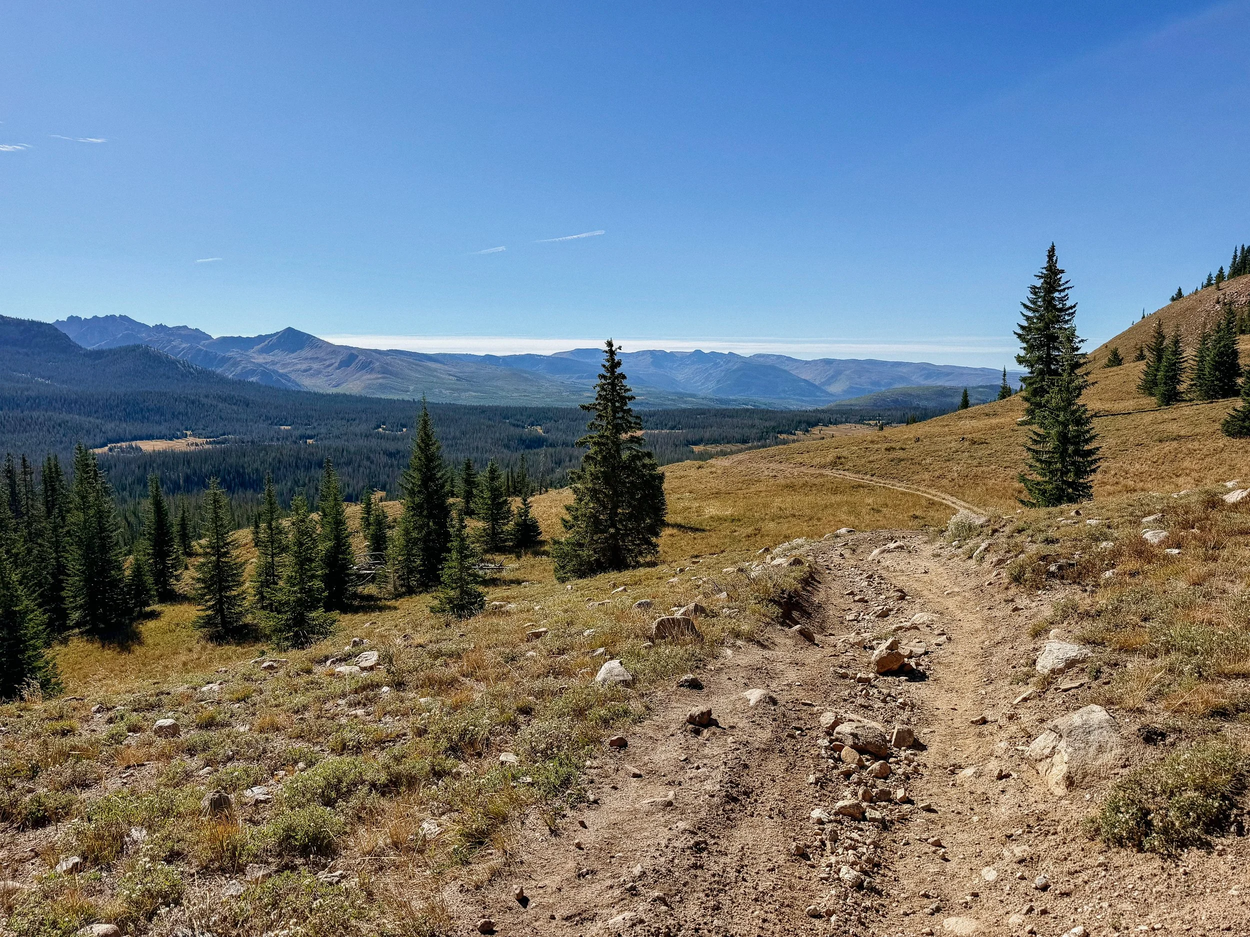
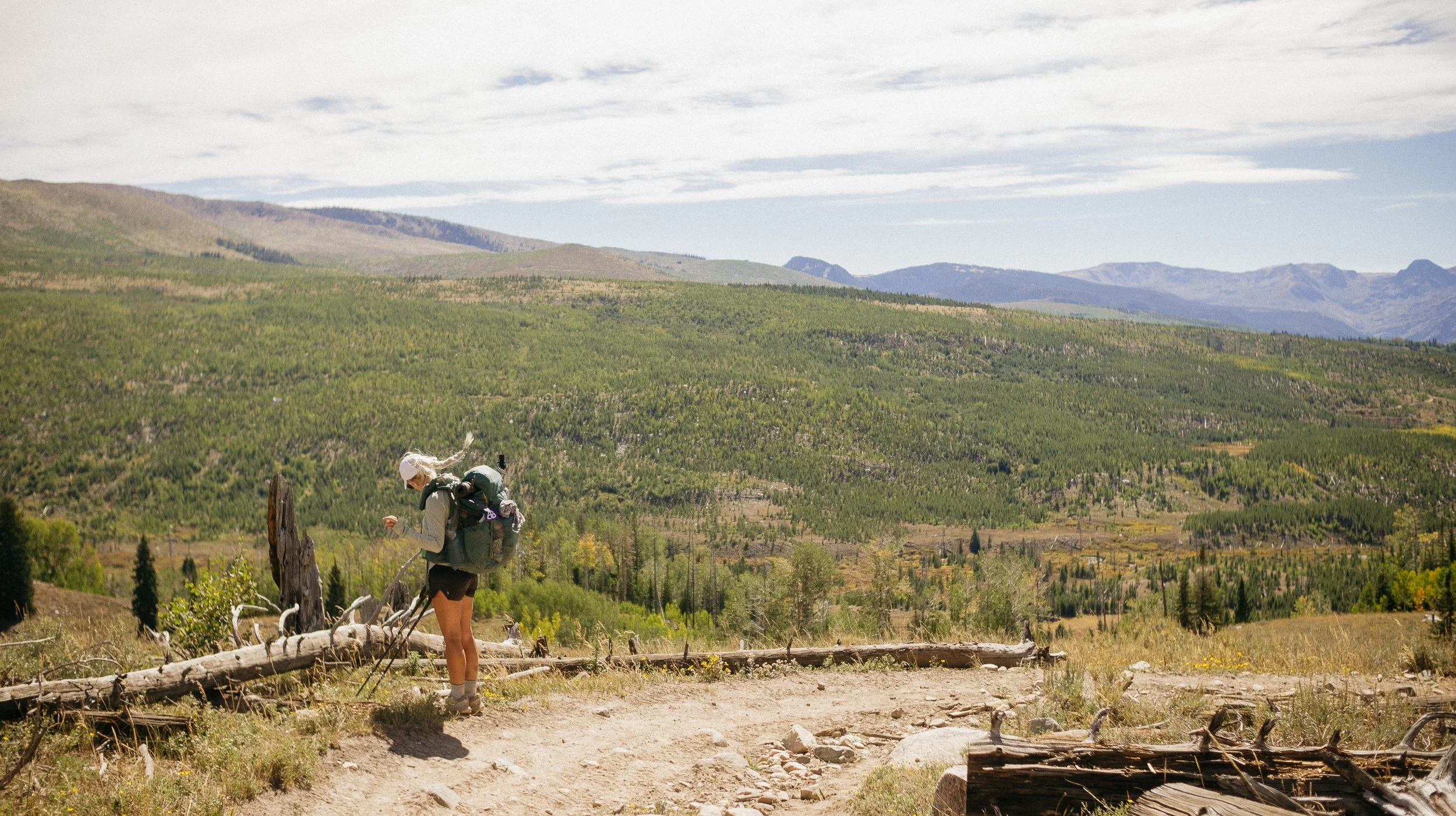
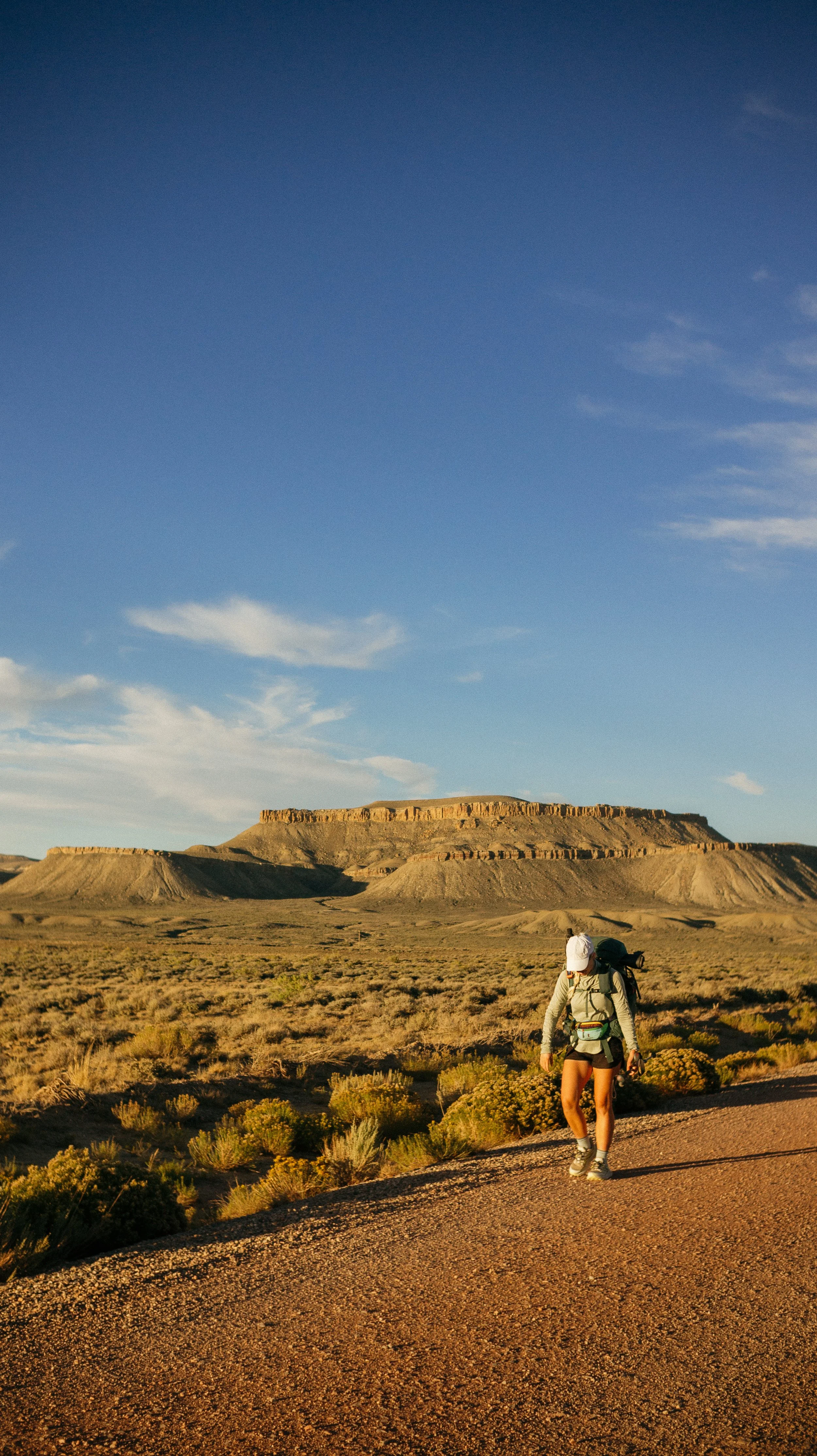
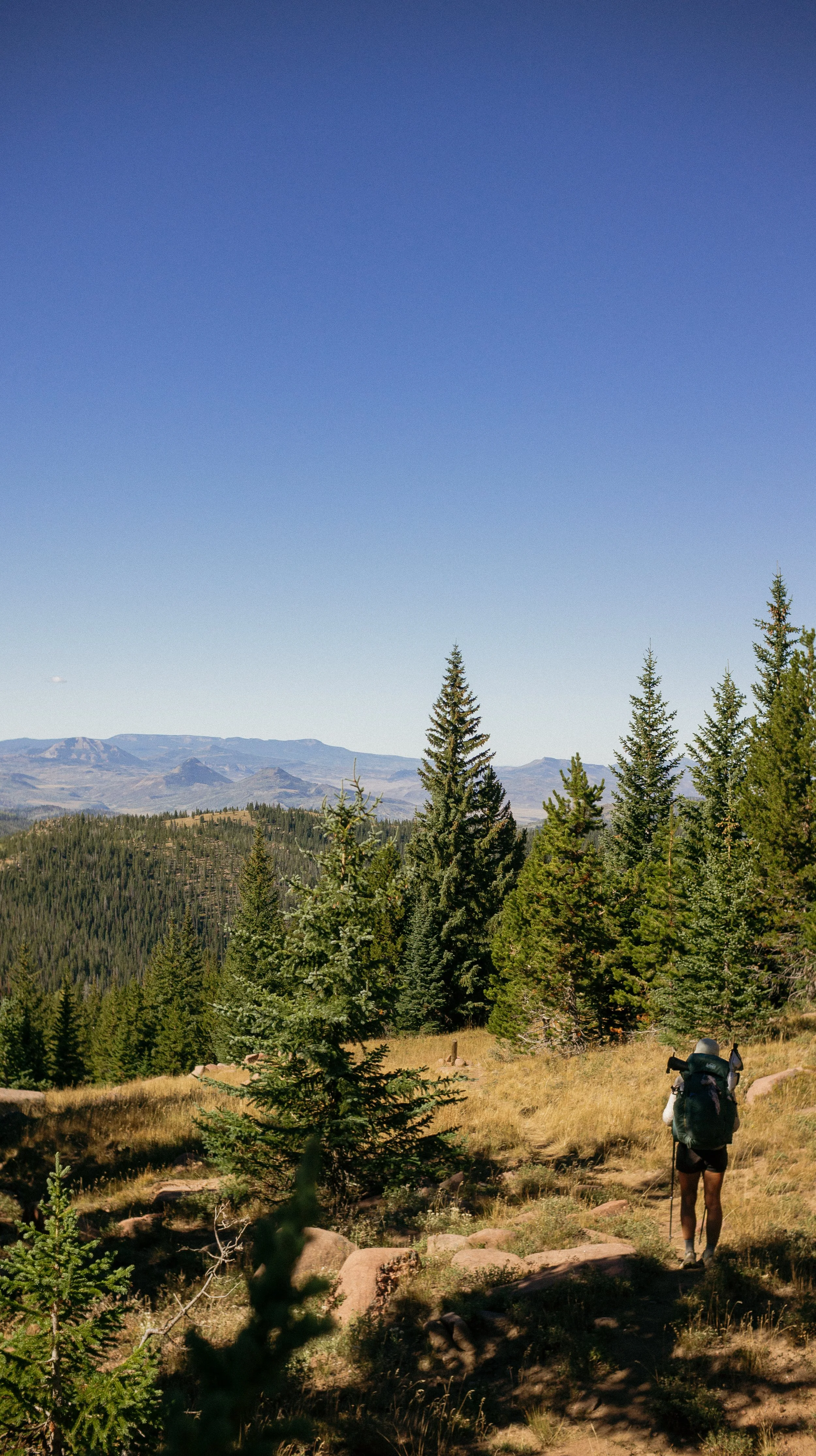
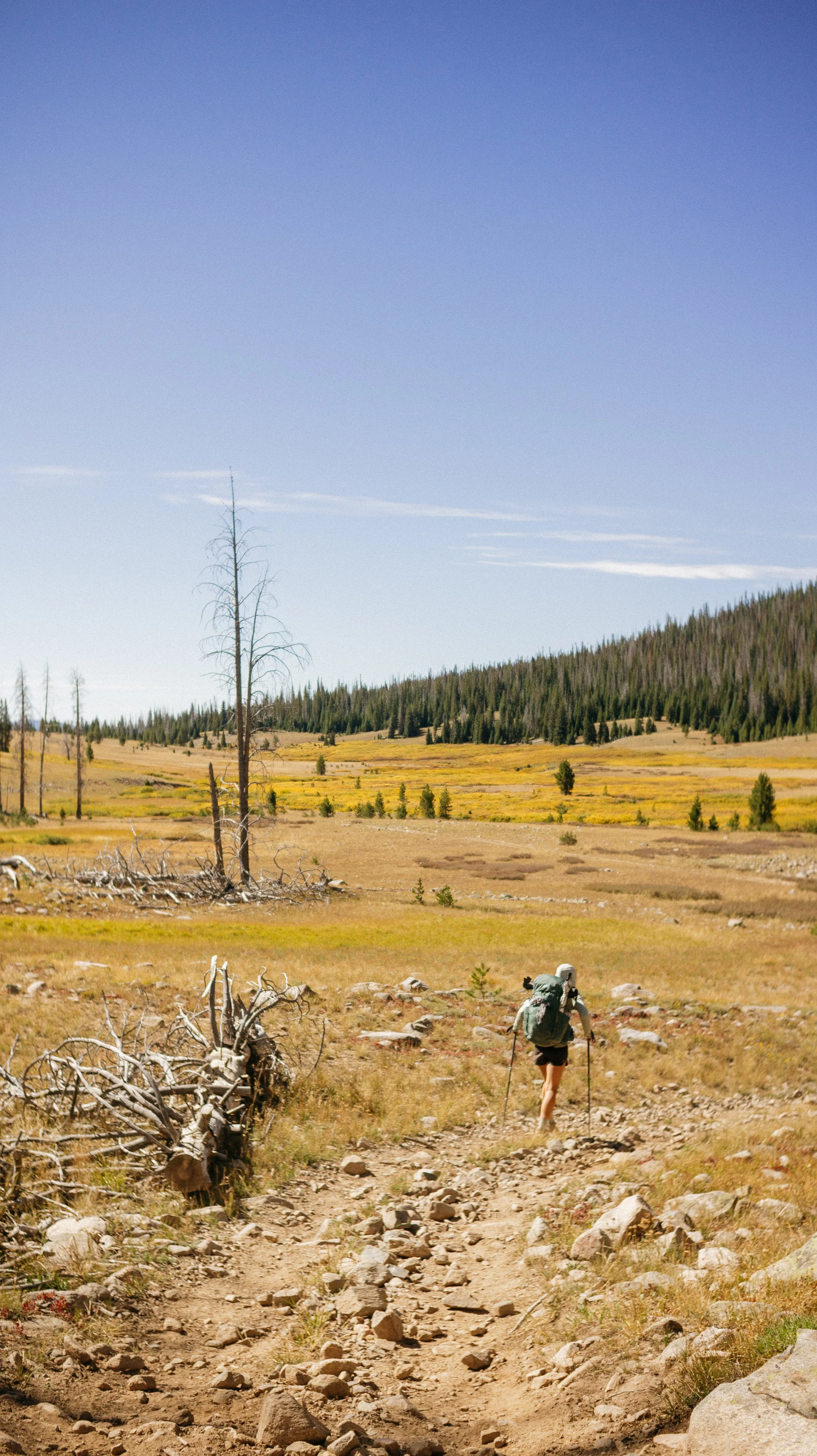
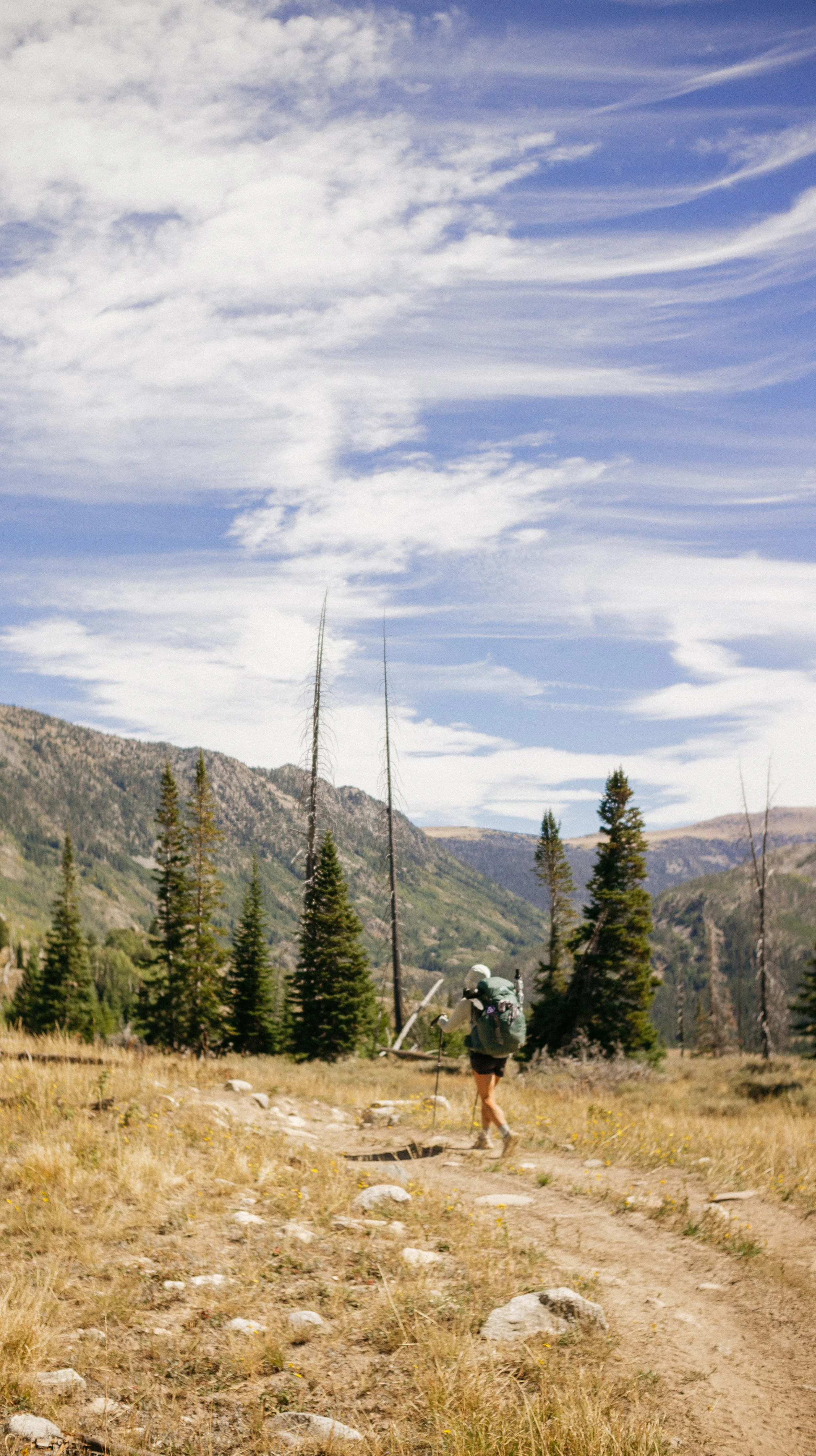
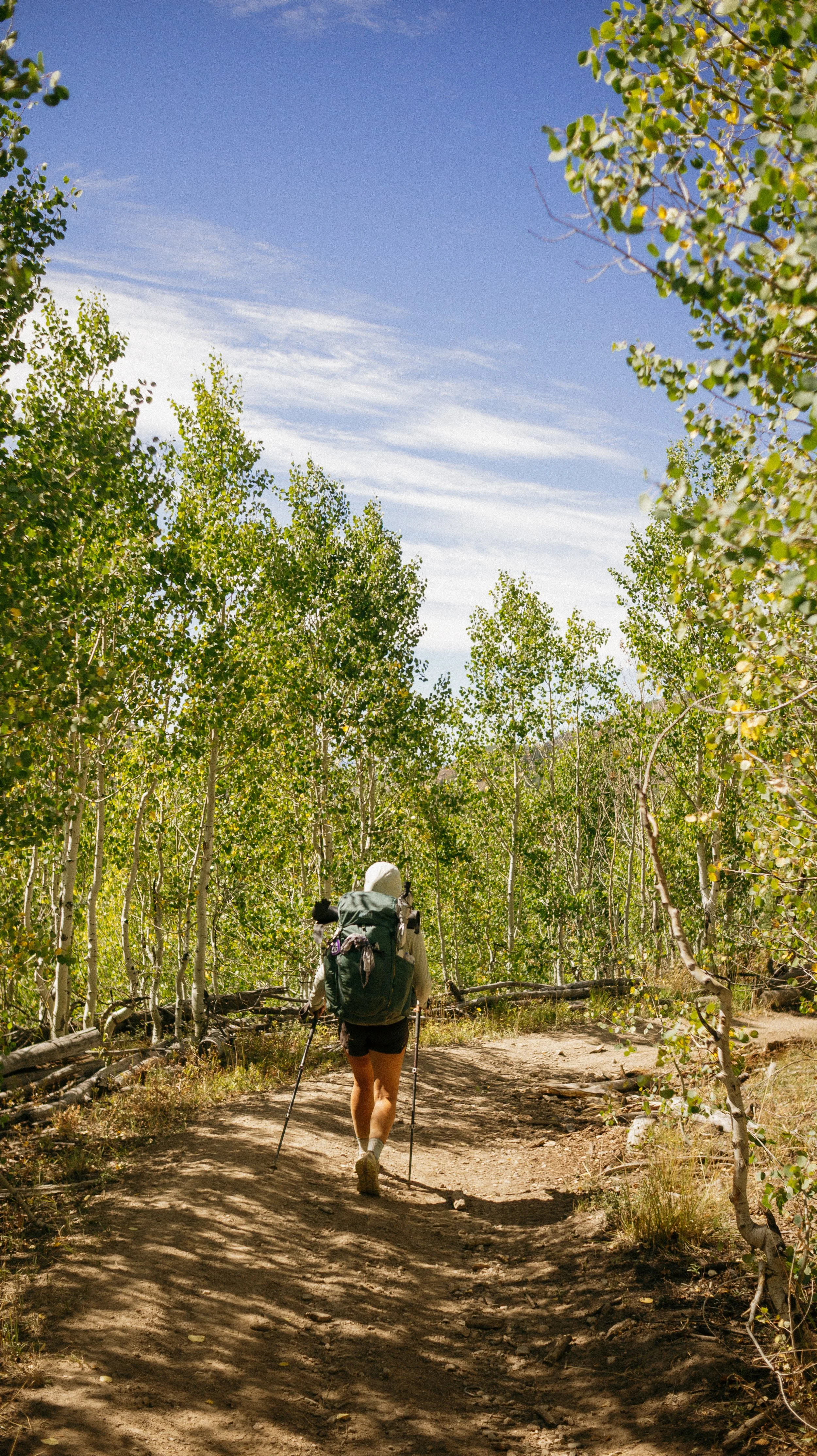
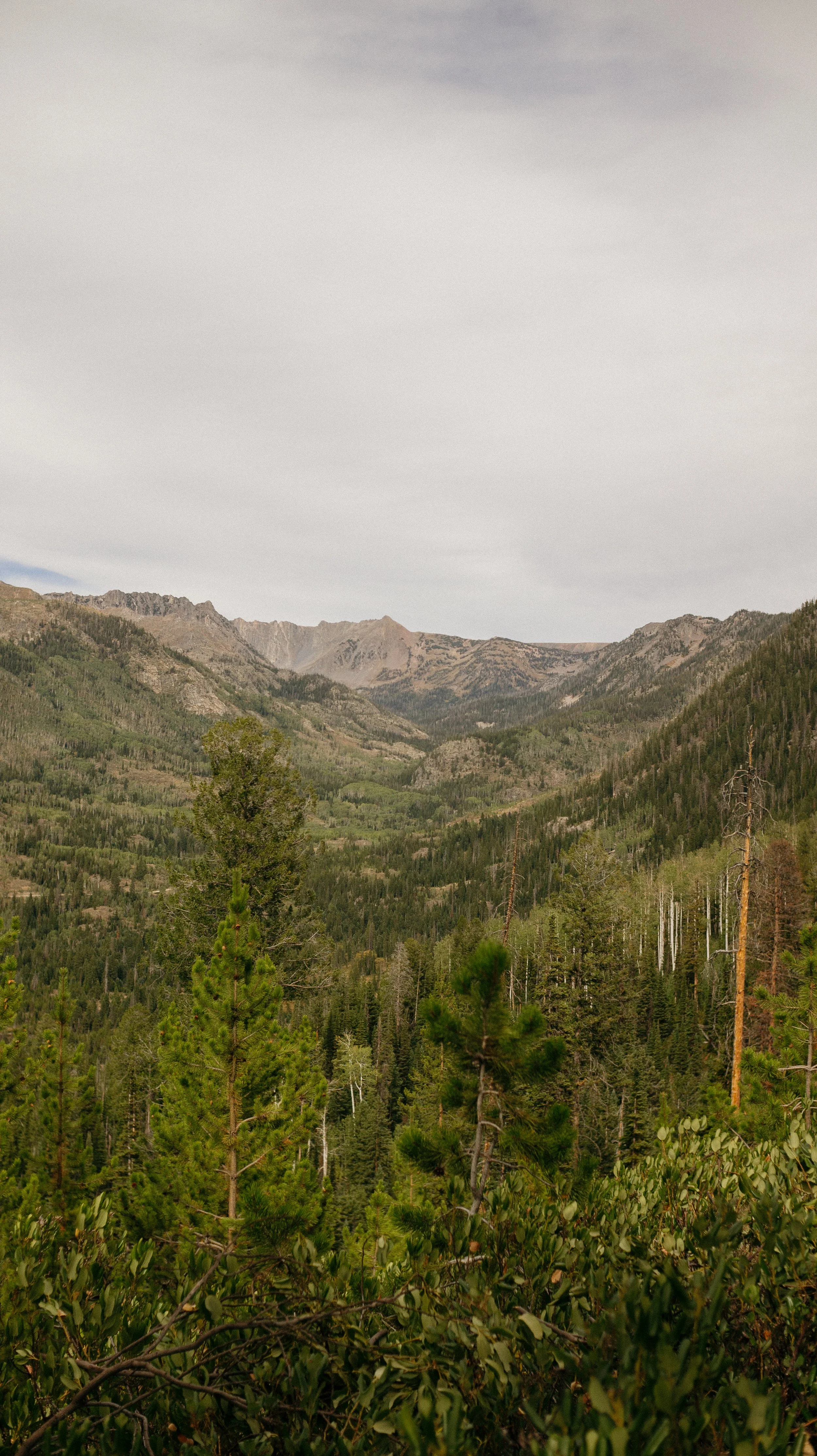
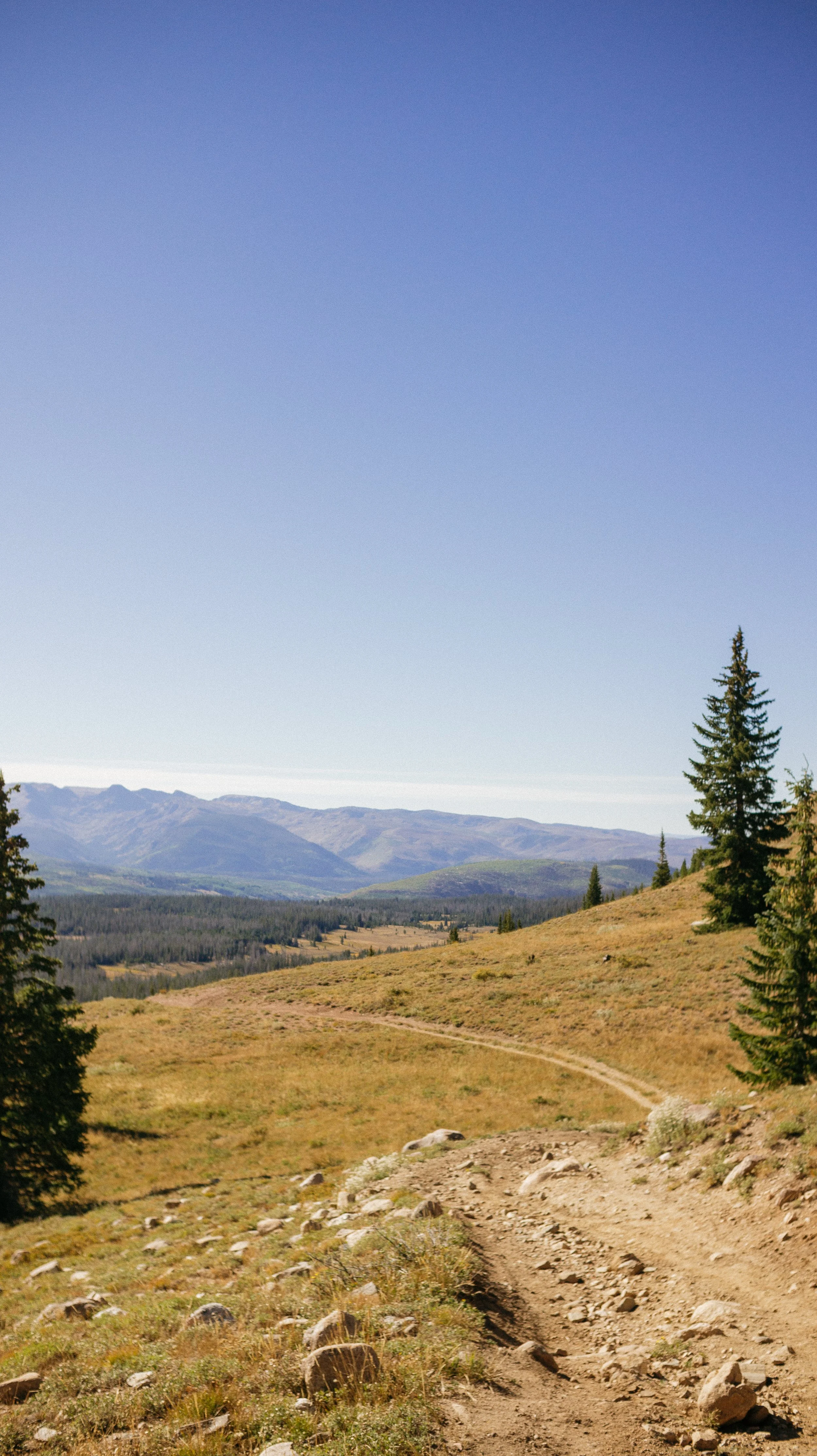
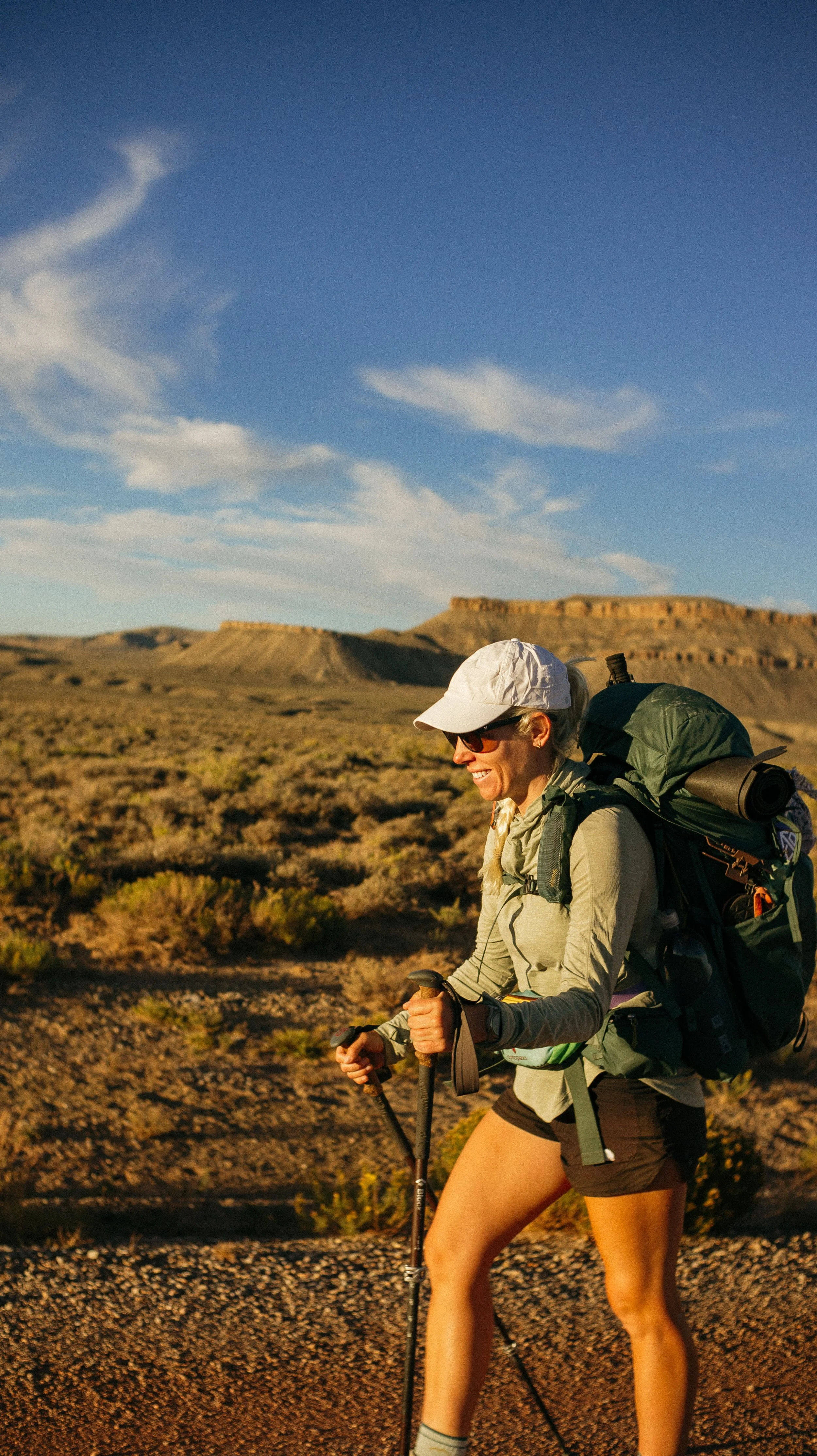
Day 72 - 79 took me from Rawlins, Wyoming to Steamboat Springs, Colorado. This section felt like a transitory one. It began finishing off the Wyoming Basin with flat, dry mostly roadwalks. Then it crept up in elevation into pine forests surrounded by peaks. Finally crossing into Colorado provided more high mountains, more pine forests, more elevation, and more intense climbs. Arriving into Steamboat Springs felt like an accomplishment as Colorado already delivered some difficulty.
OVERVIEWTOTAL DAYS8
FULL HIKING DAYS5
zeroes1
neroes2
TOTAL ELEVATION GAIN21,801 ft
TOTAL ELEVATION LOSS18,842 ft
MILES COVERED145.4 miles
-
Reaching Colorado! What an accomplishment!
Doing 5 big days back to back.
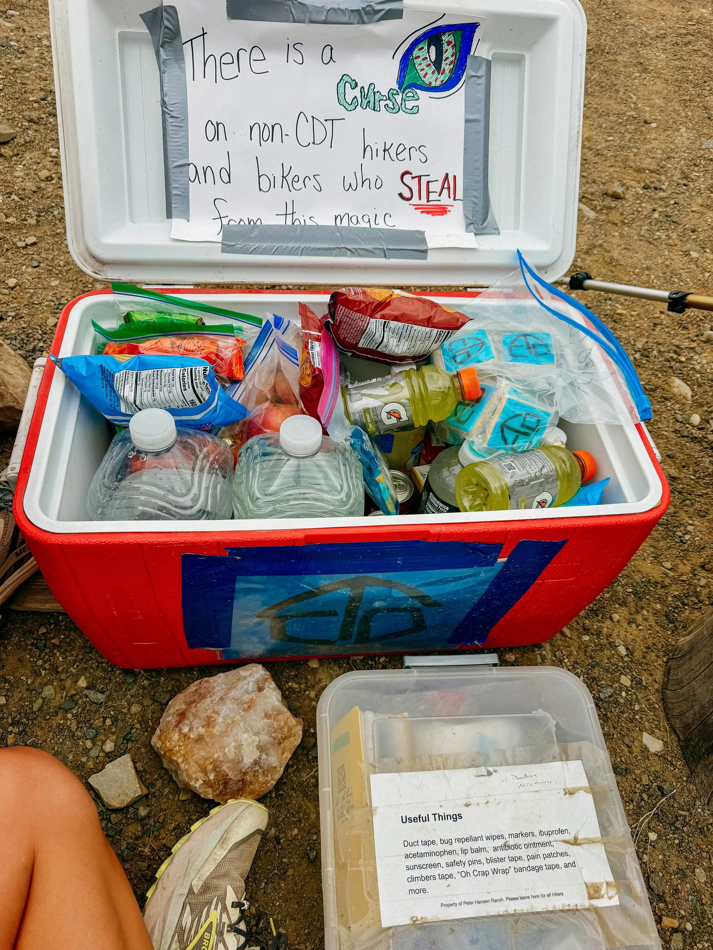
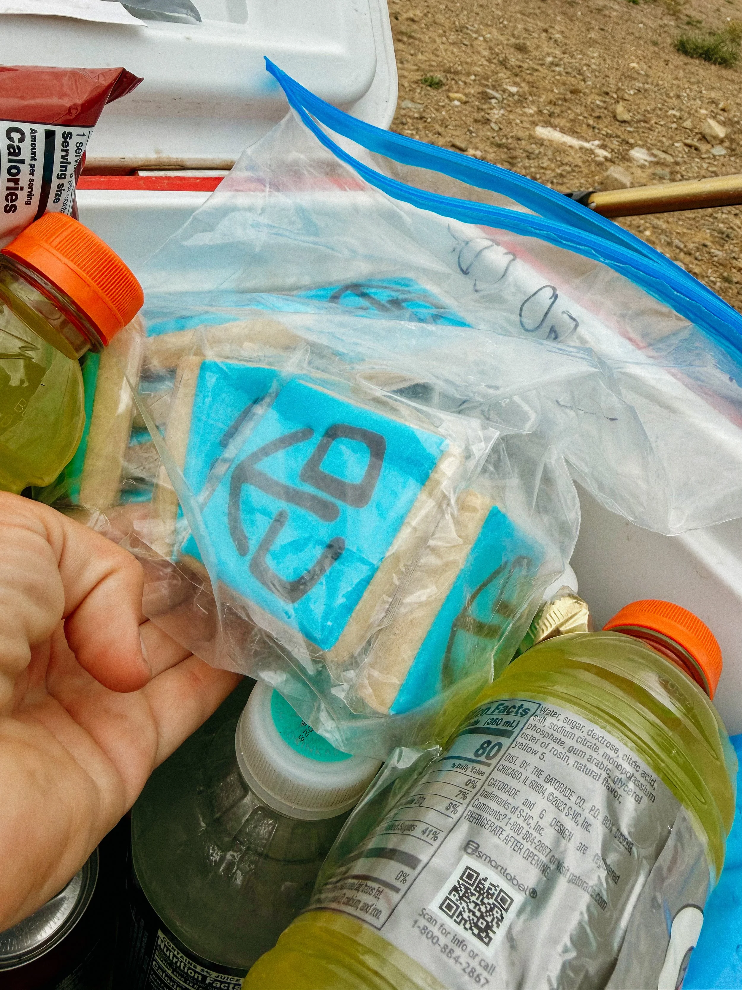
The kindness of Rawlins trail angels for the water caches.
-
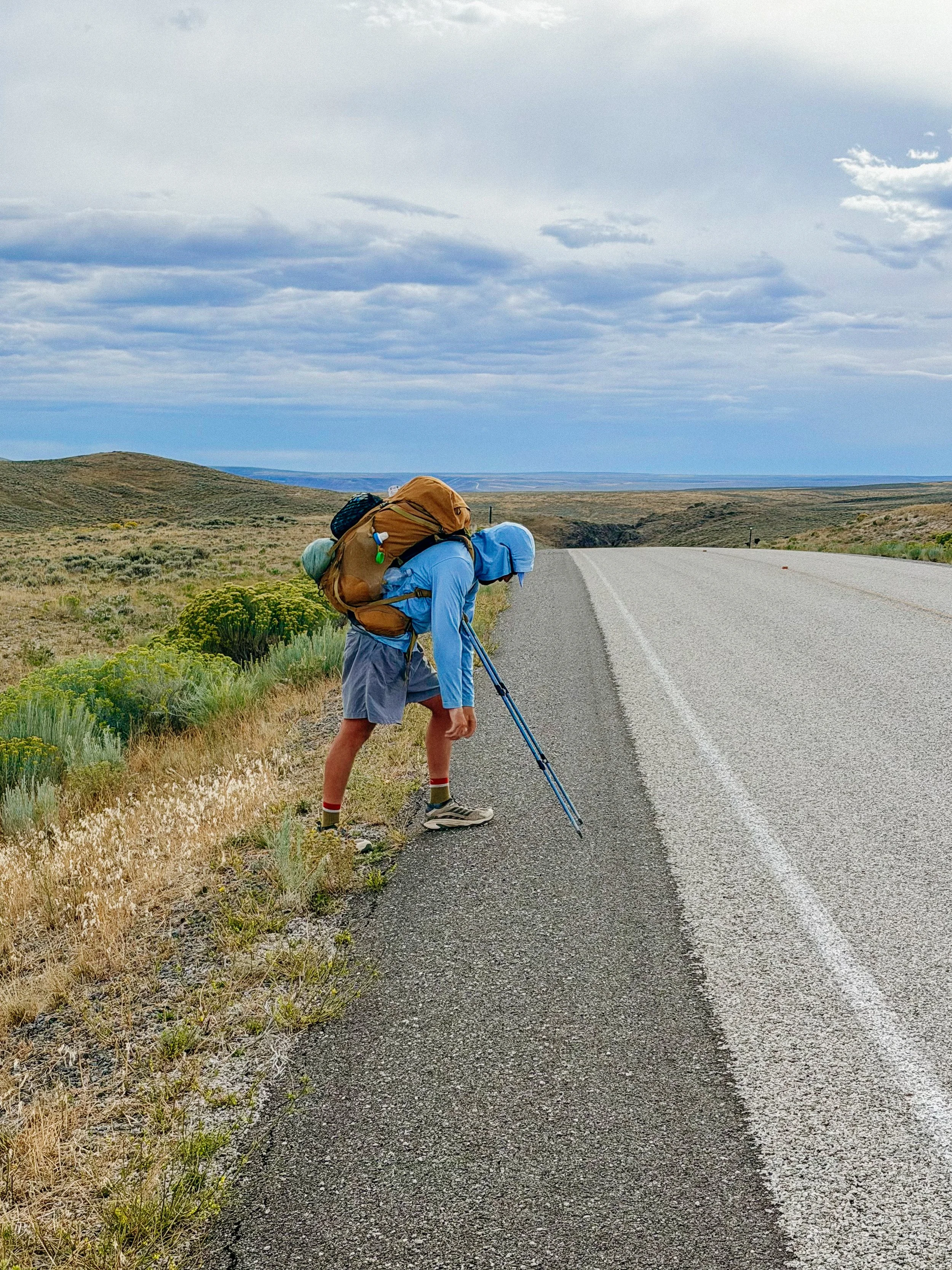
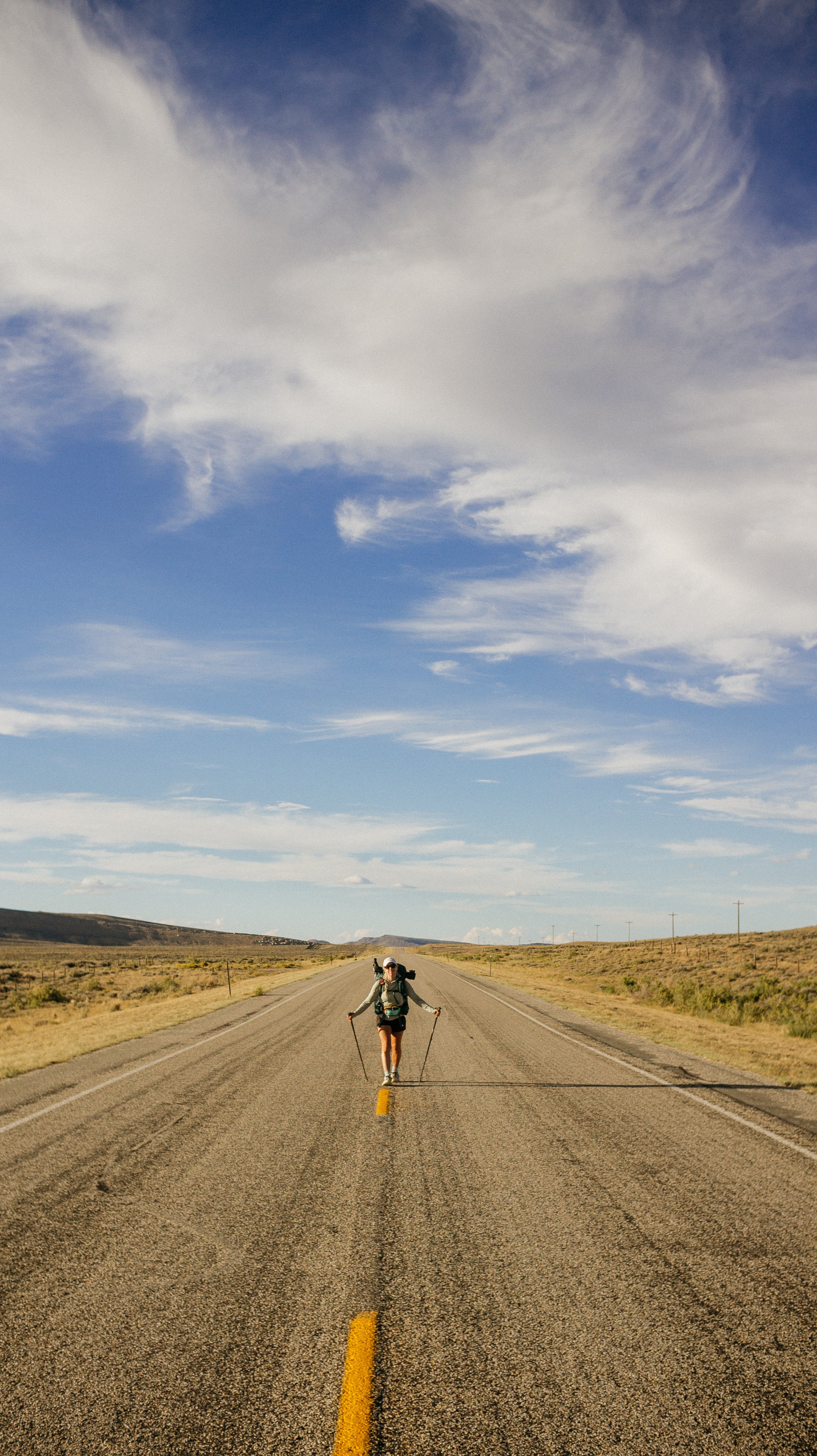
Long roadwalk with unpredictable weather.
One day of constant up and down with wild steepness.
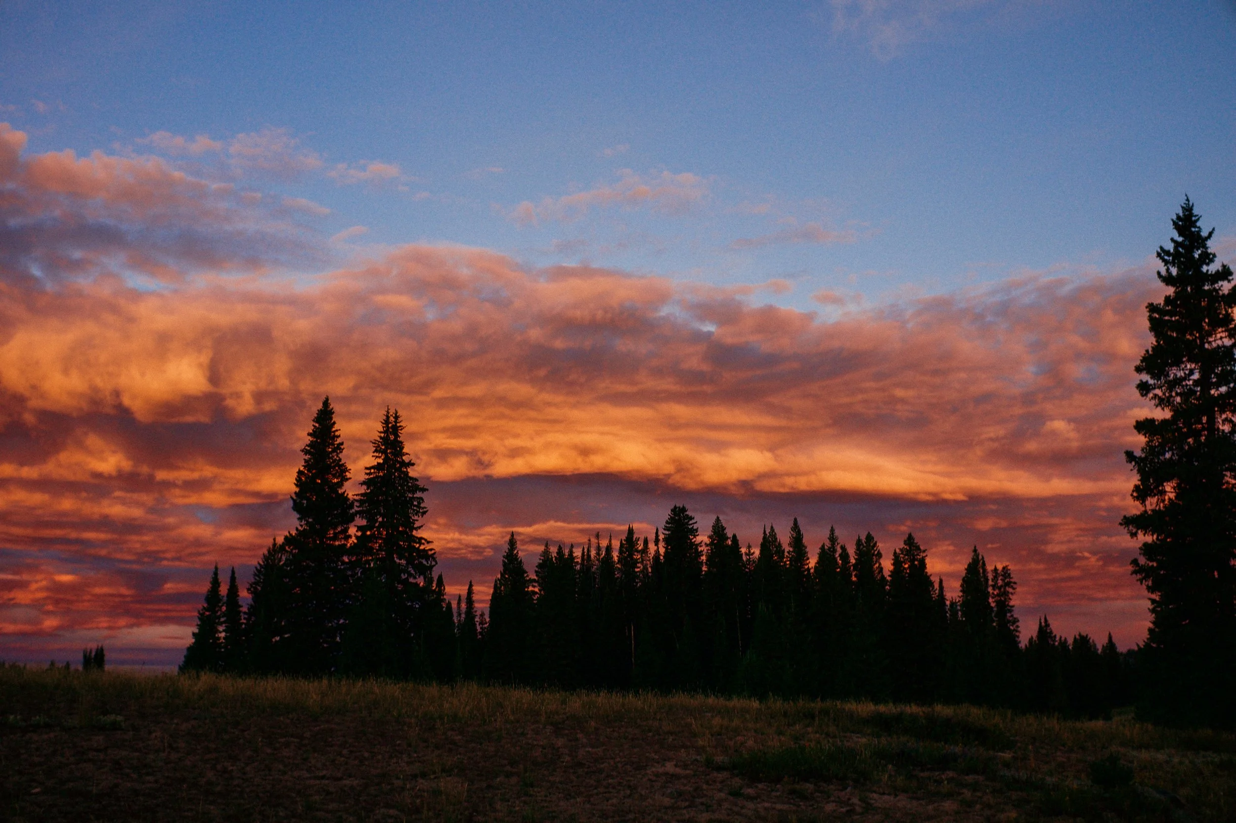
Sunrise
In Depth
-
SLEEP: Camp at Mile 1417.2
MILES: 11.4
ELEVATION GAIN: 935 ft
ELEVATION LOSS: 351 ft
WEATHER: Sun, Heat
OVERVIEW: Water caches and travel vans!
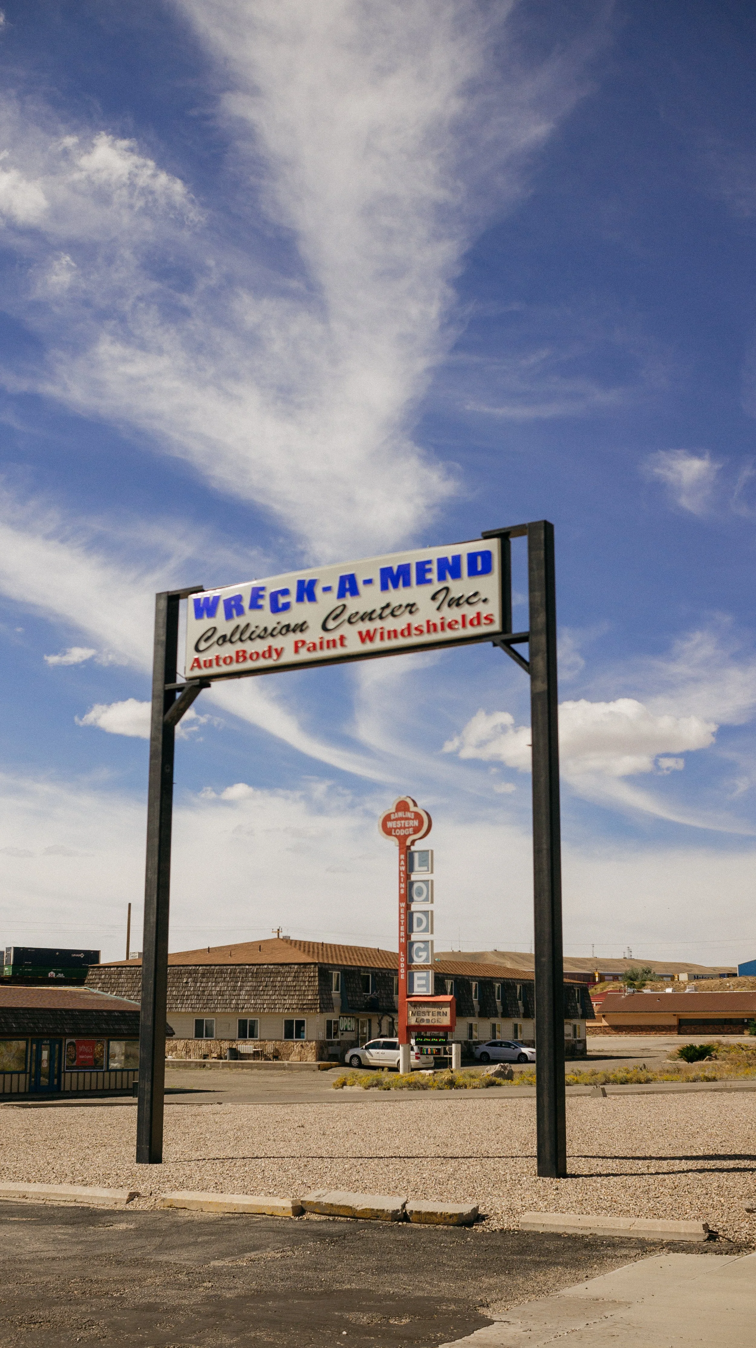
The next section was a roadwalk out of town therefore I did not need to rush to leave as I wasn’t waiting on a hitch. The hotel had “breakfast” but hey I was thankful for the coffee at a minimum.
George and I decided on Thai food again for lunch just before leaving town. My dearest friend Darline, who has been sending me packages along the way, alerted me that the big packages meant for Steamboat Springs were not delivered but returned to sender and being held at the post office. These packages held my cold weather gear, new shoes, my medications, and more. This began 2 hours of logistics that is too exhausting to recount. Summary: booked a place based on their directive that they hold packages, place denied said packages, I cancelled my reservation, booked an air b and b instead, and crossed my fingers the packages would still be at the post office.
During this time, an ethereal fairy of a woman, Mara, came into the restaurant, chatted with us, and was such a calming presence. A small interaction with a big impact.
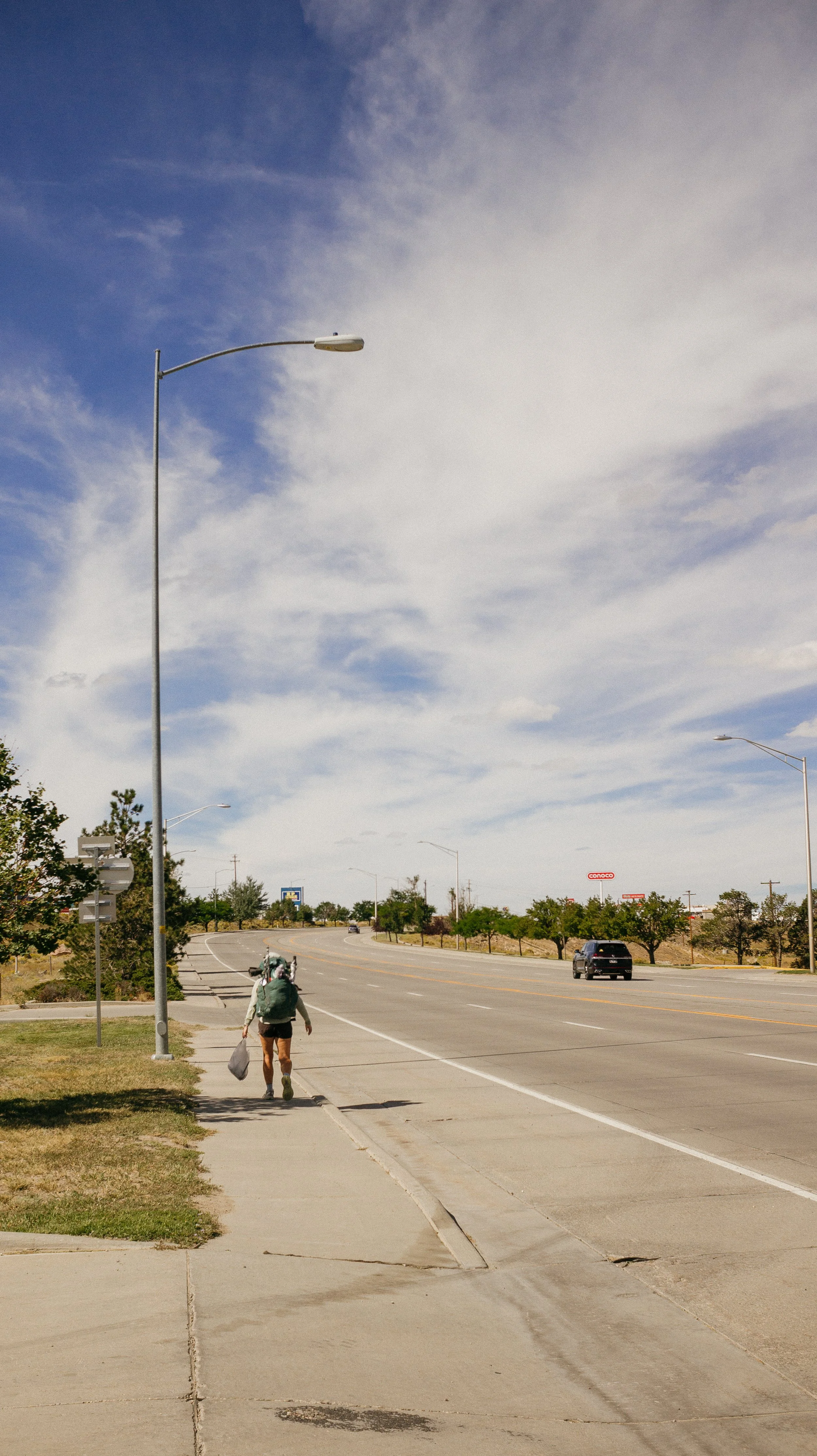
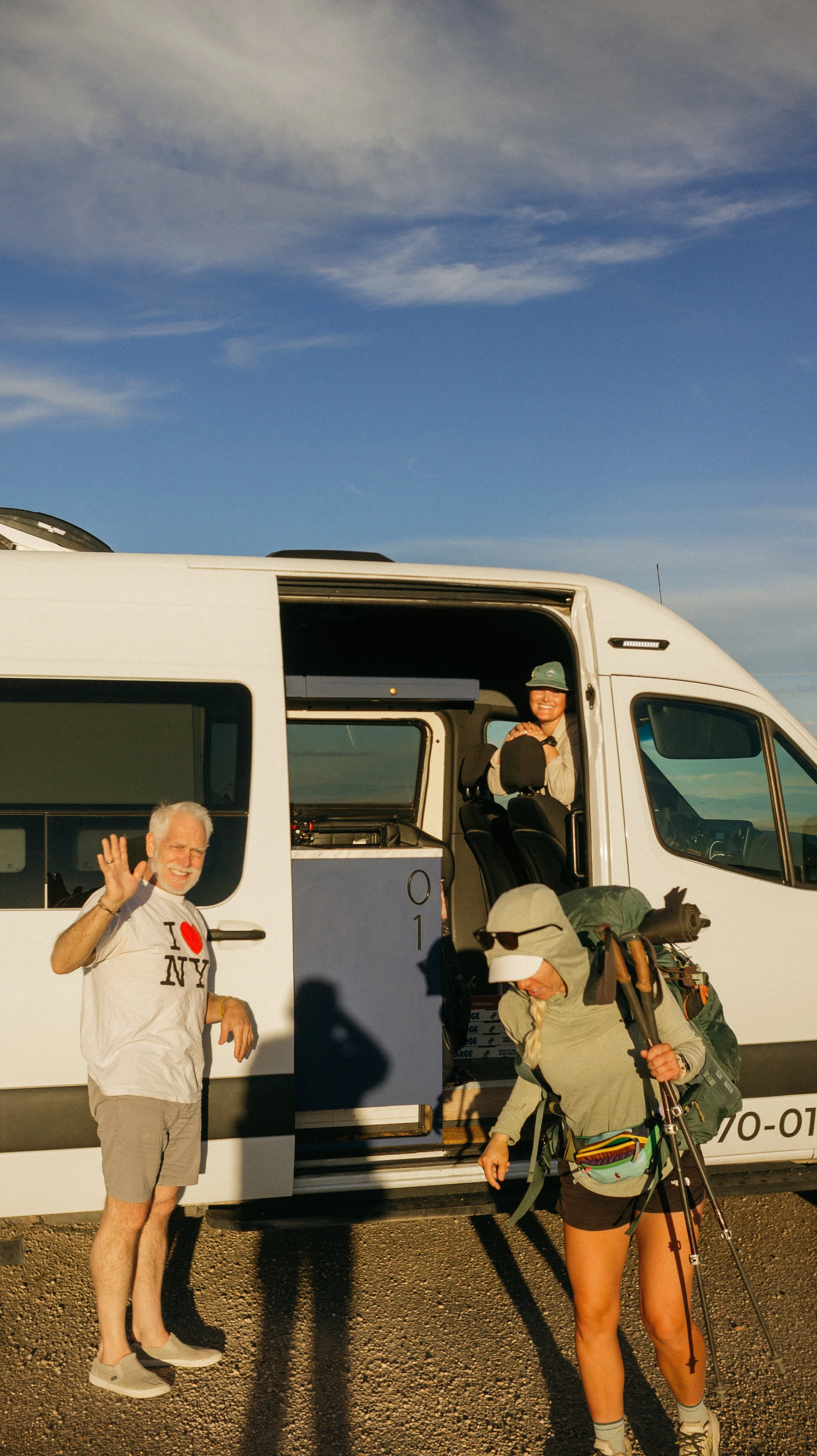
Finally leaving town in the afternoon, I had a minimum number of miles to walk because of the water situation. I began the Sage Creek alternate (a 30 mile roadwalk) when Tumbles and her dad show up in a van. They gave us a ride the last two miles and I couldn’t have been more thankful.
A coyote symphony was my sleeping soundtrack.
-
SLEEP: Camp at Mile 1461.2
MILES: 25.9
ELEVATION GAIN: 2461 ft
ELEVATION LOSS: 1762 ft
WEATHER: Sun, Hot, Thunderstorm
OVERVIEW: Glad to be off that road
This was a long but pretty non eventful day. I continued the Sage Creek Alternate for the entire day and eventually reconnected with the redline trail.
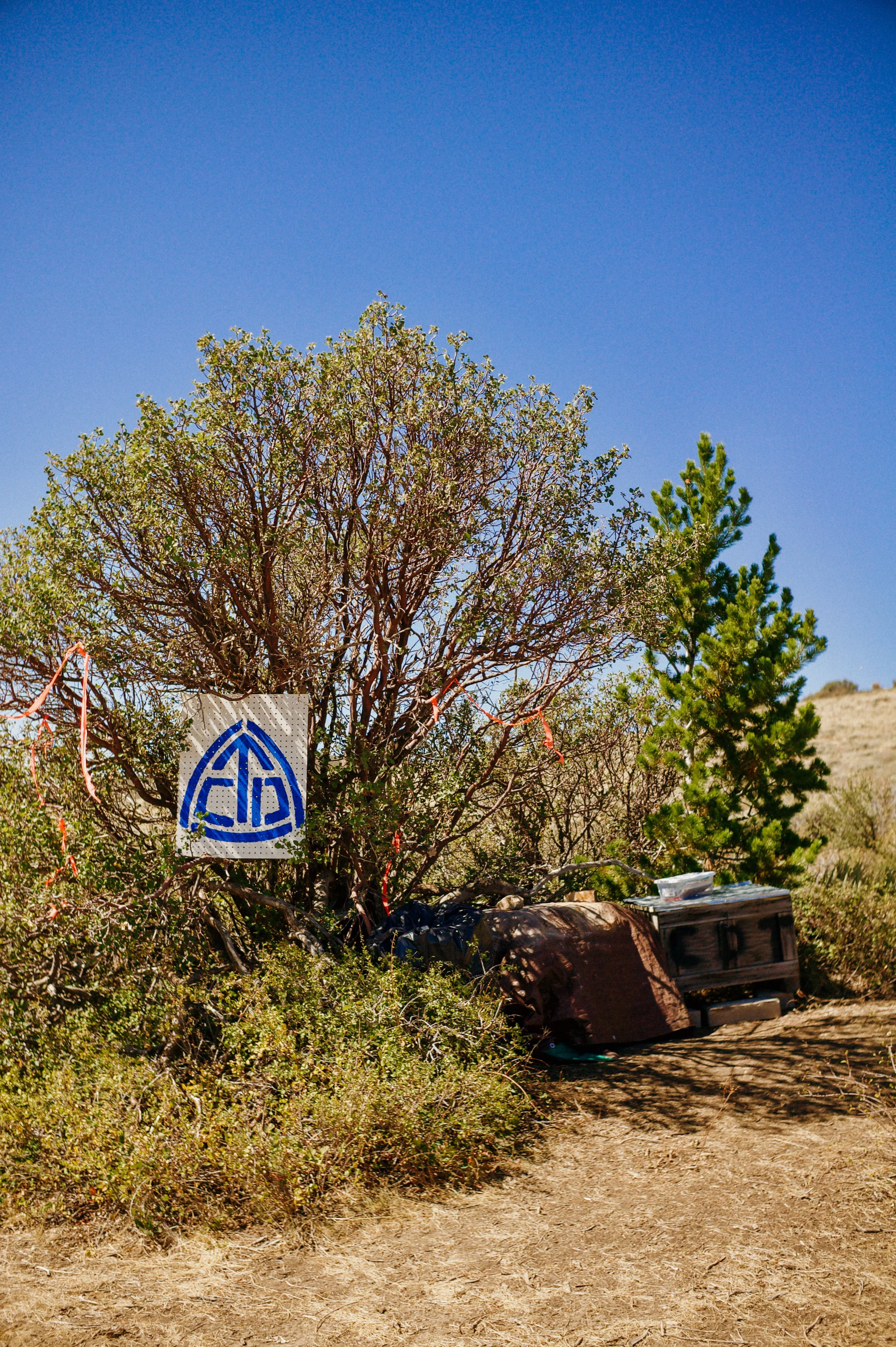
Along the way, there were several water caches provided by trail angels on Rawlins. Without these, I do not know what a water carry would look like. This was a benefit of the road alternate, accessible water. The redline was through sage brush with not much of a distinct line. With the threat of rattlesnakes… I’ll stay on the road.
There were a lot of cars that passed, several offered water, and cyclists. Ups and downs throughout the day meant that it was good for audiobooks to distract from the tedious miles.
Once back connected to the redline, I camped pretty quickly. I’m glad I set up when I did as there was a wicked thunderstorm. Luckily I was tucked in after a long day!
-
SLEEP: Camp at Mile 1486.6
MILES: 24.9
ELEVATION GAIN: 5633 ft
ELEVATION LOSS: 3602 ft
WEATHER: Sun, Thunderstorm, Cols
OVERVIEW: Last day in Wyoming!
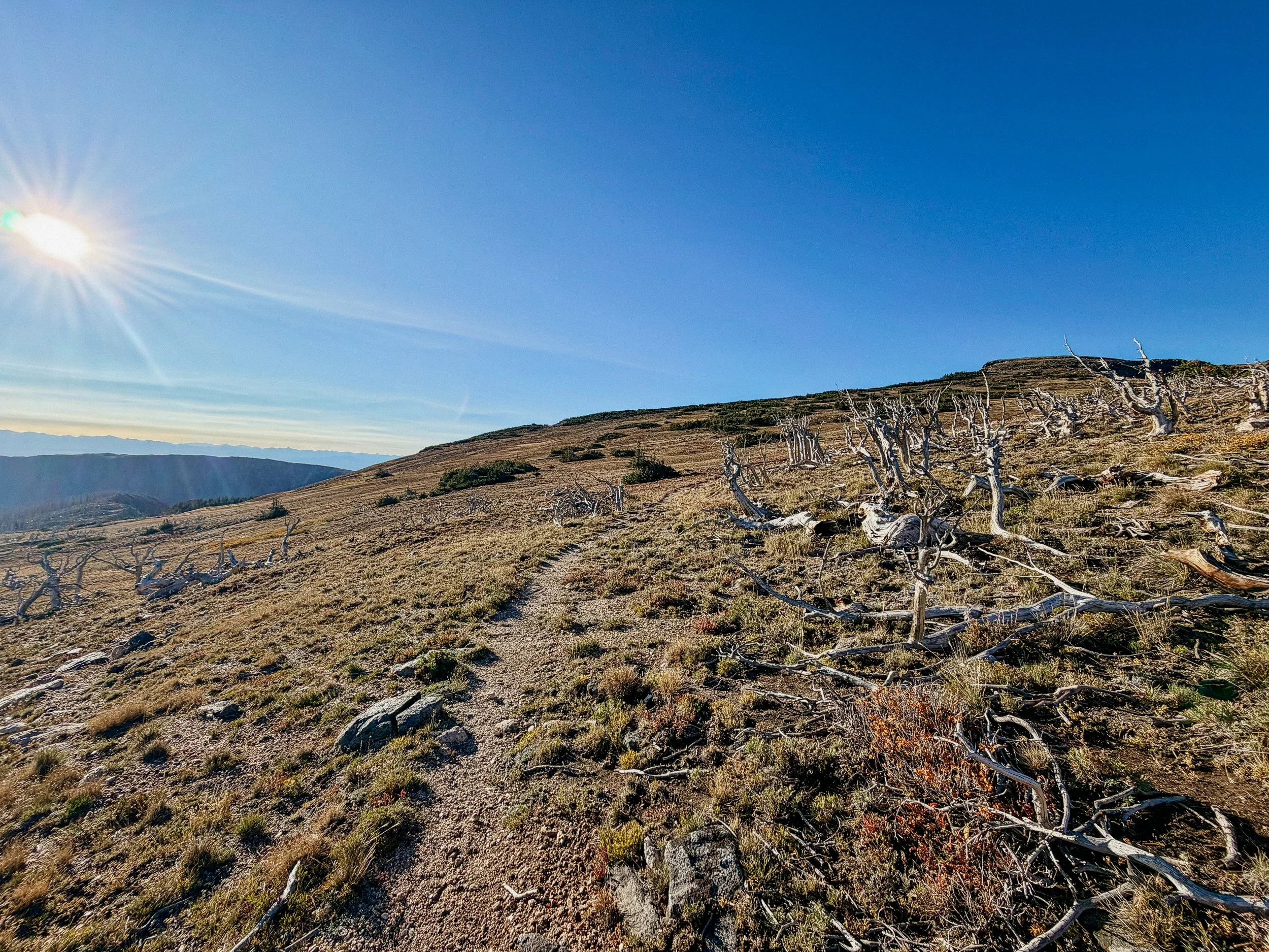
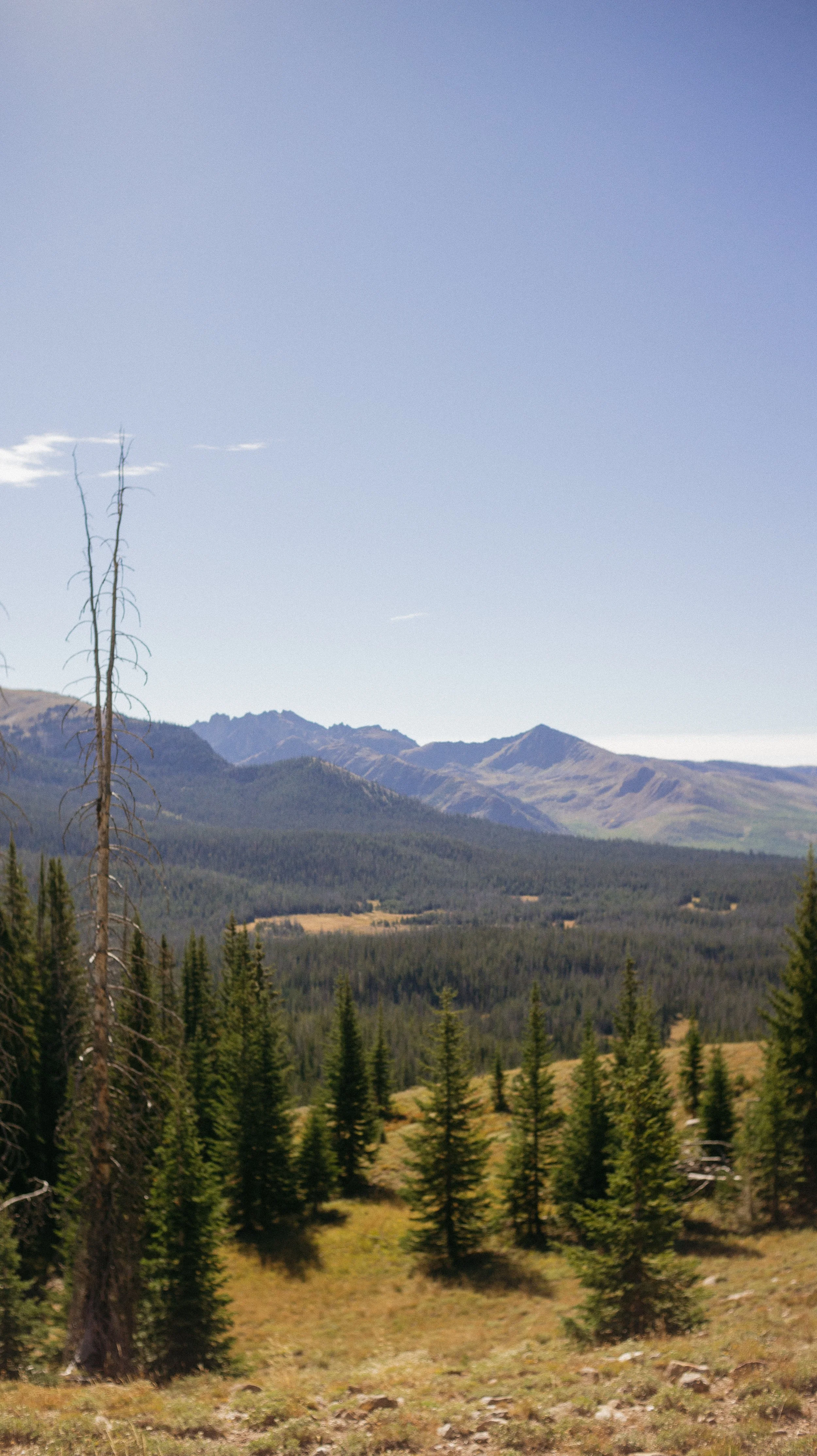
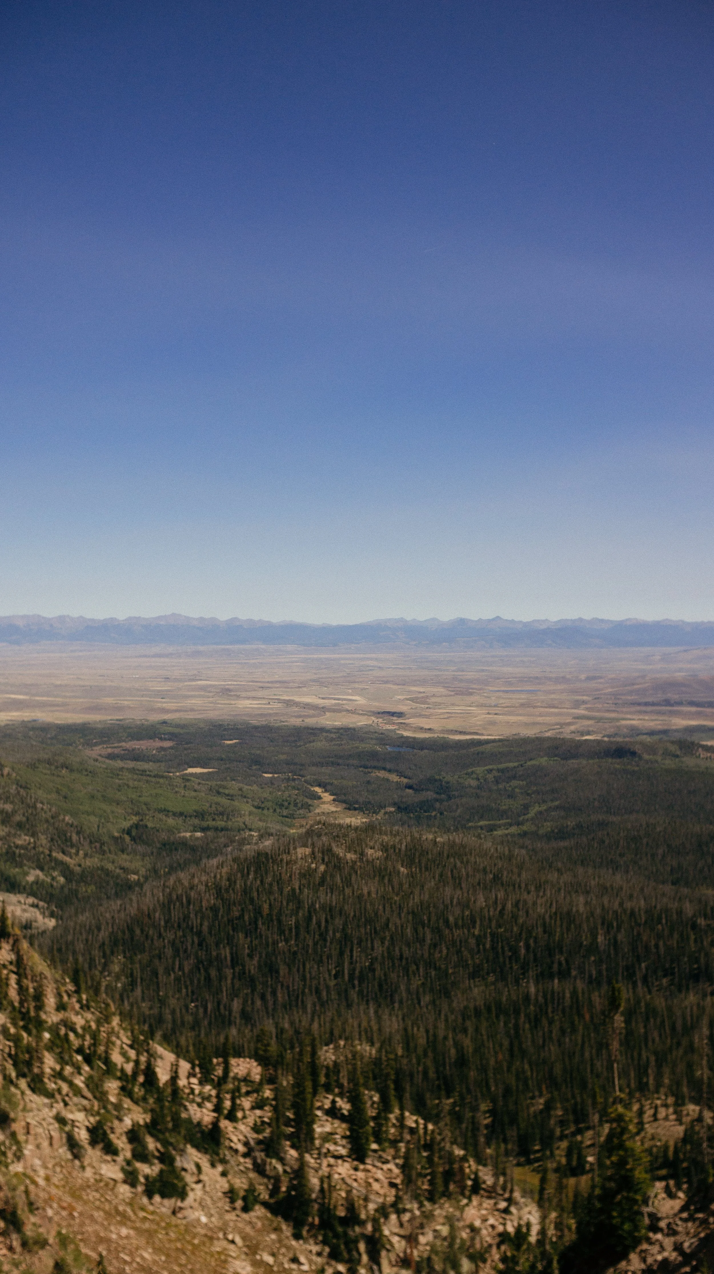
Finally now off the main road, this morning was primarily made up of ridge walks. Lots of inclines and descents that gave me flashbacks to the Southern Montana and Idaho section of this trail. But from the top of these mountains, I could see more distinct peaks in the distance. Colorado.
At one point, I disturbed a sheep herd of over 400 sheep. They kept pouring out of every part of the ridge. George and his family are sheep farmers, so this felt very at home to him. I don’t know if from homesickness or because his body produces and involuntary response and assumes some work must be done.
In the afternoon, I passed Battle Pass which would have been the hitch point to Encampment, Wyoming. This was a planned stop but George and I packed enough food to just push on to Steamboat Springs. There was some trail magic (water!) here and I’m so thankful for all the support.
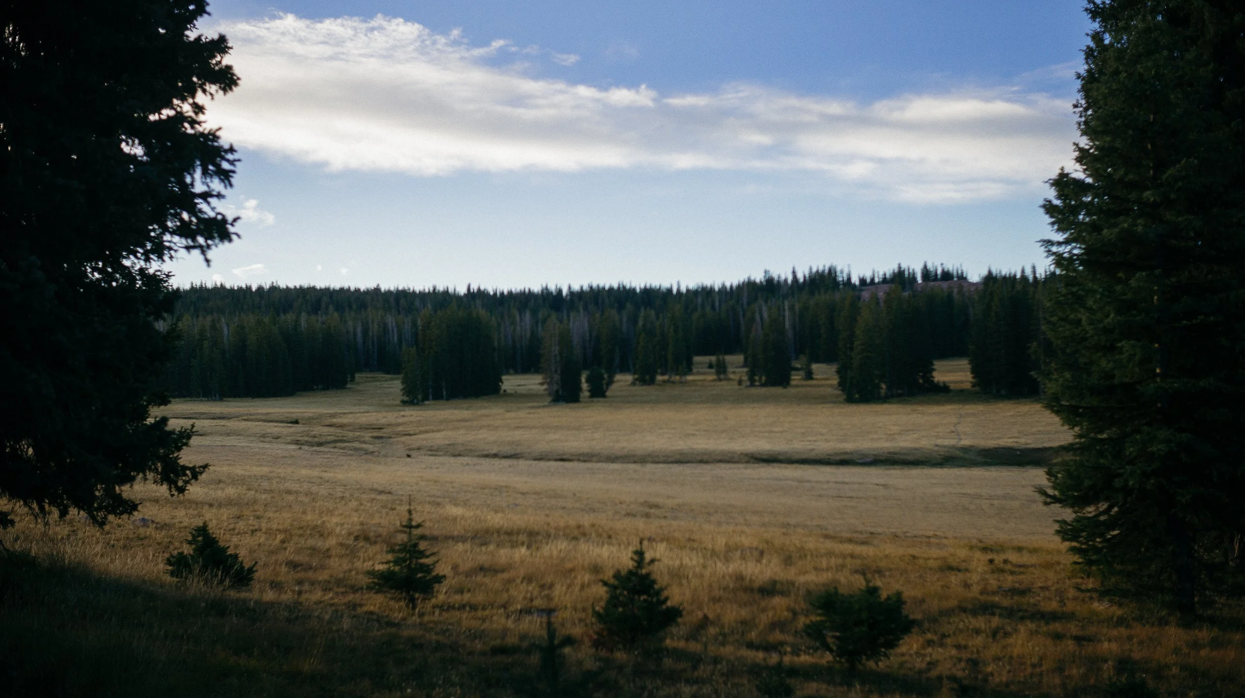
The remainder of the day coasted. A beautiful descent into a valley with plenty of natural water sources. This was also one of my highest campsites thus far - good preparation for the entire state of Colorado!
-
SLEEP: Camp at Mile 1507.7
MILES: 21
ELEVATION GAIN: 3673 ft
ELEVATION LOSS: 3529 ft
WEATHER: Cold, Warm
OVERVIEW: Colorado!
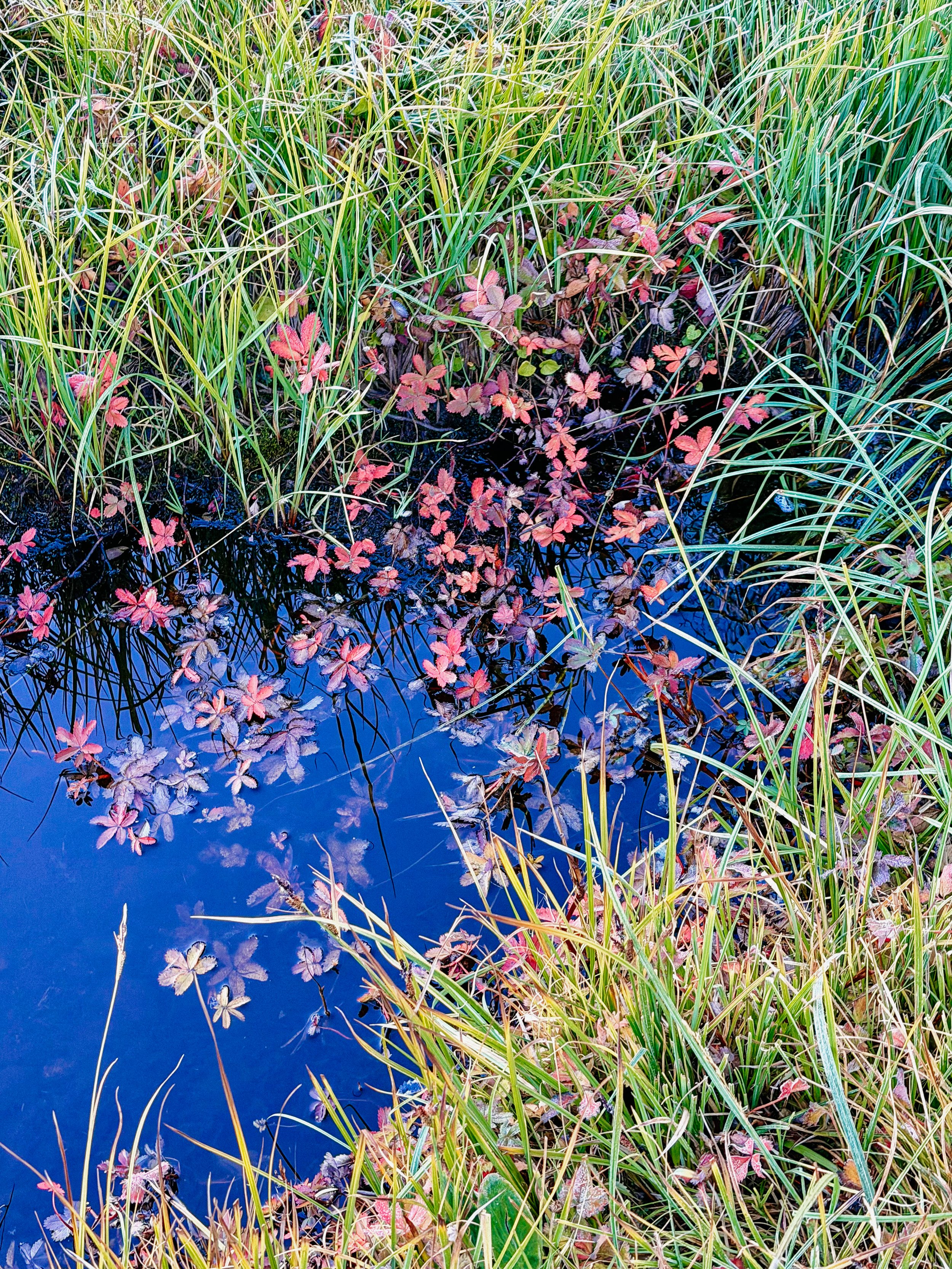
I woke up somewhat encased in ice as there was frost on/in my tent. This would be a sign of things to come. Despite this, I woke up warm because it was Colorado day’
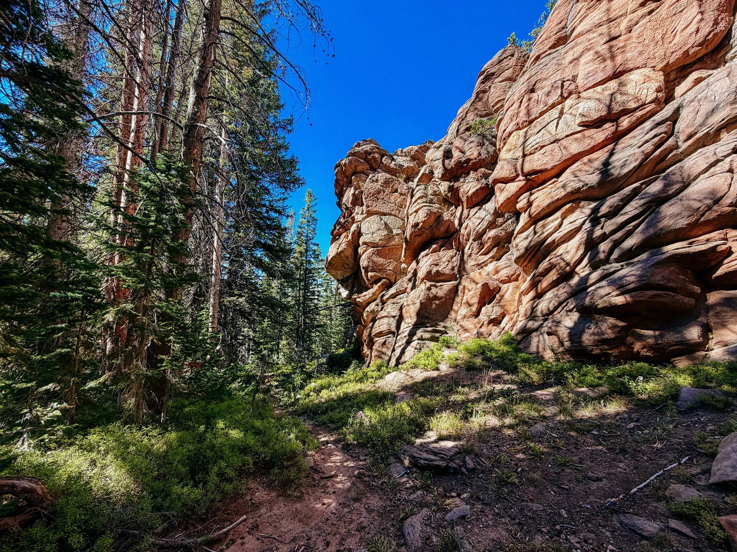
The morning flew by; good rock formations, plenty of water, and cow herds to watch. Just before the stateline, there was several miles of a burn zone. These can get overwhelming and monotonous but seeing the new growth that had literally rose from the ashes is the tiny bit of hope present.
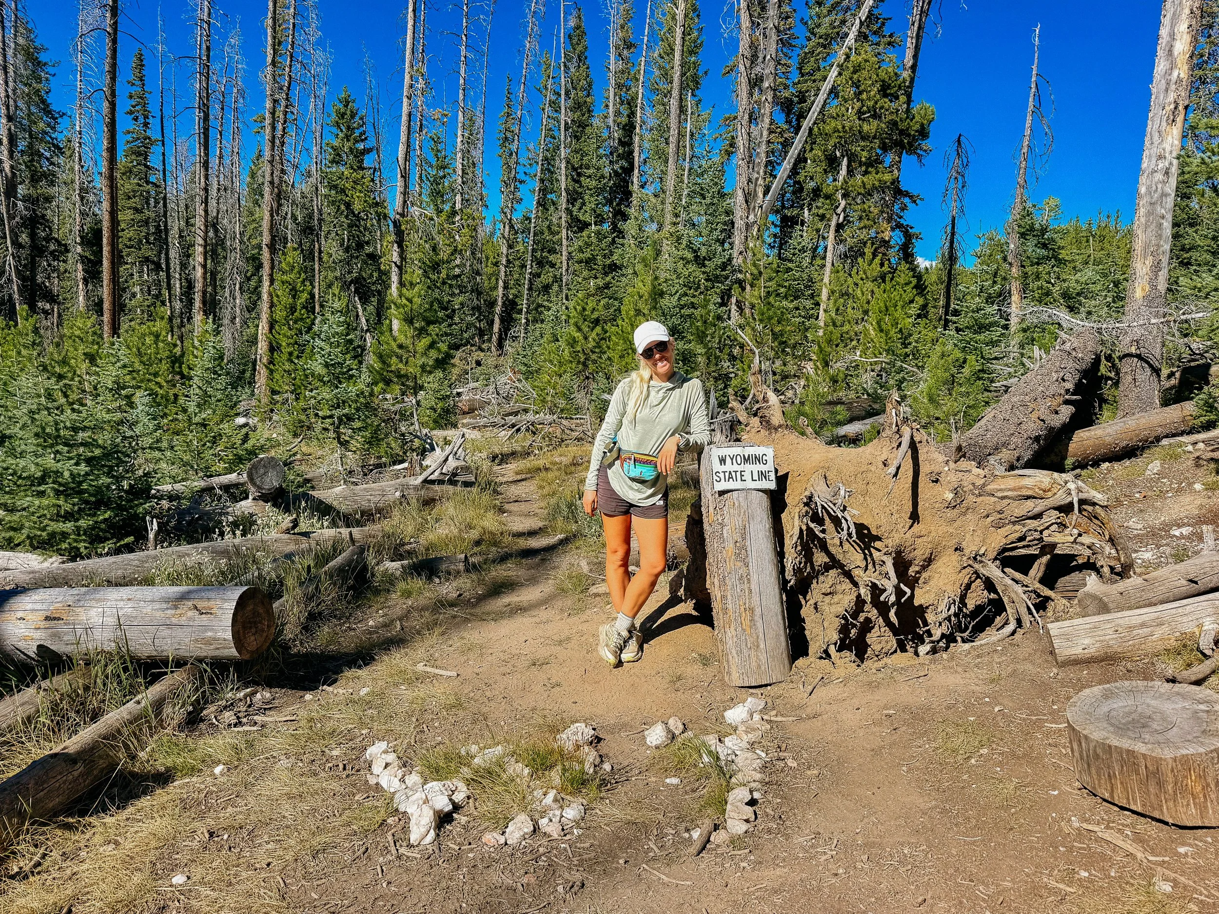
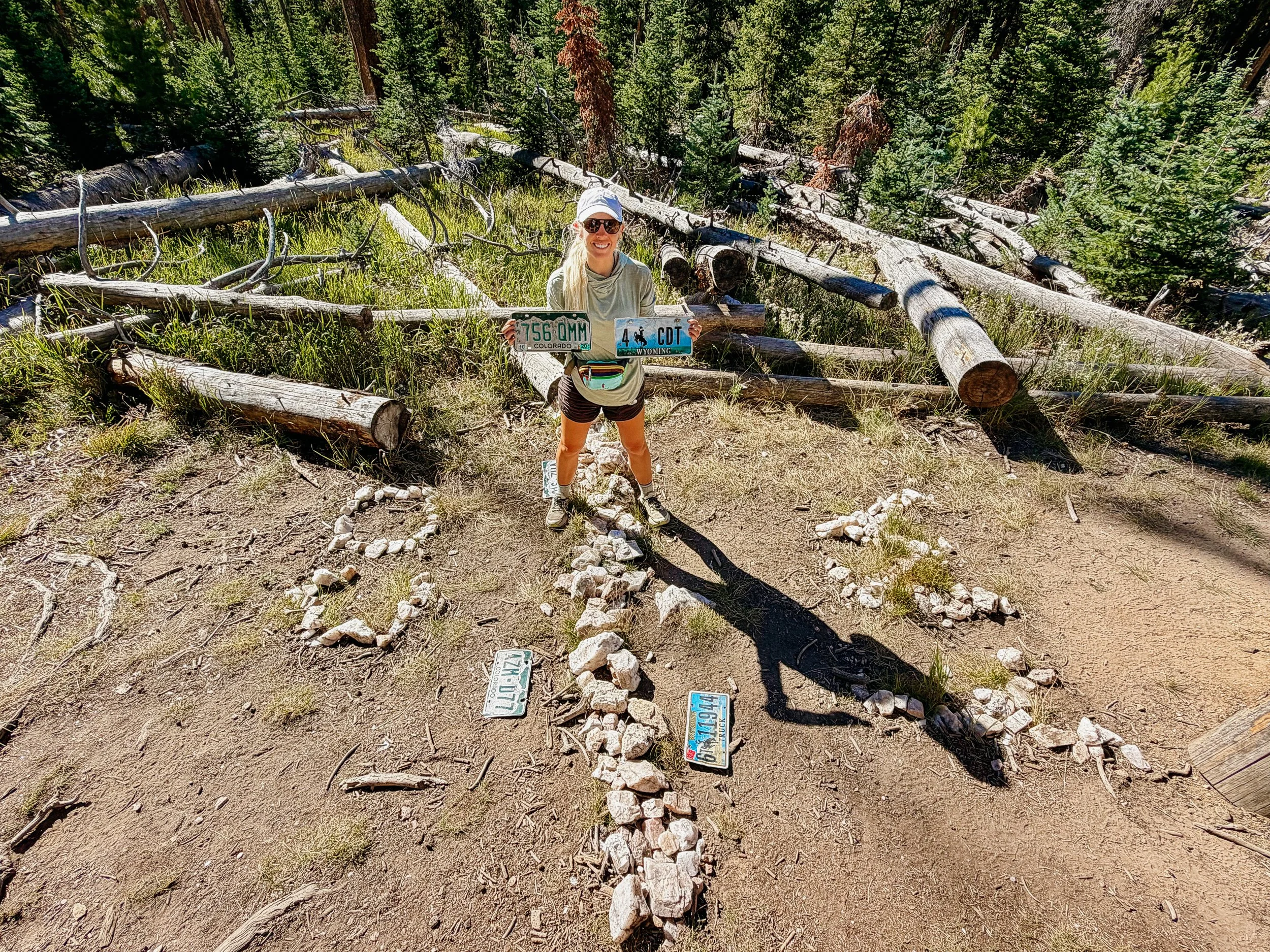
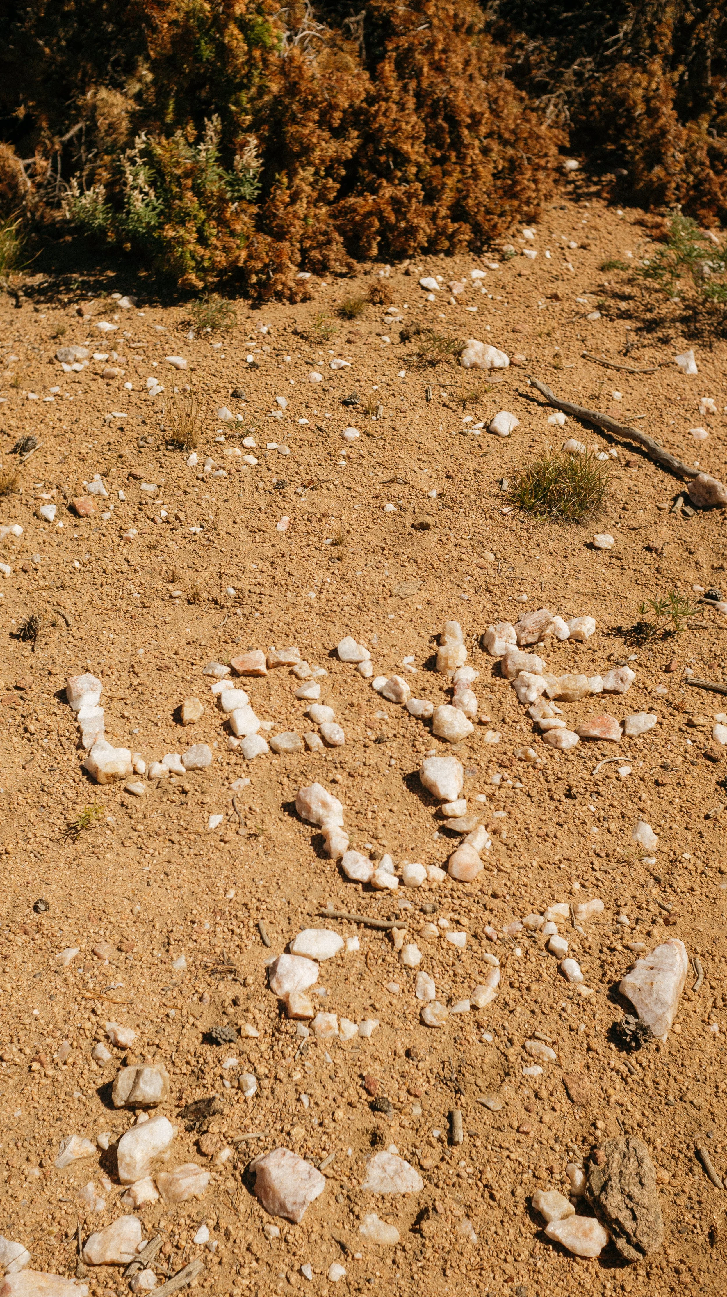
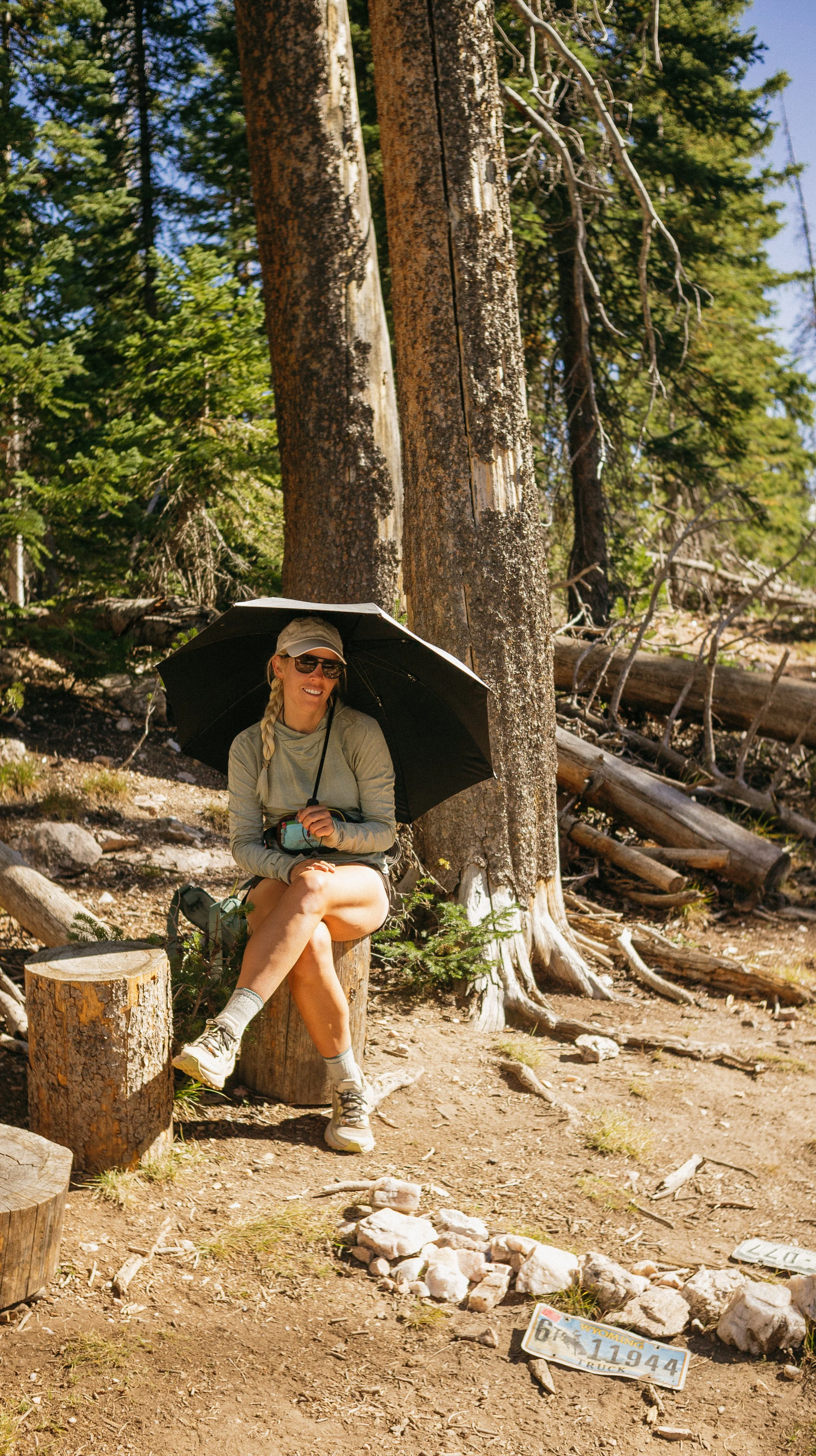
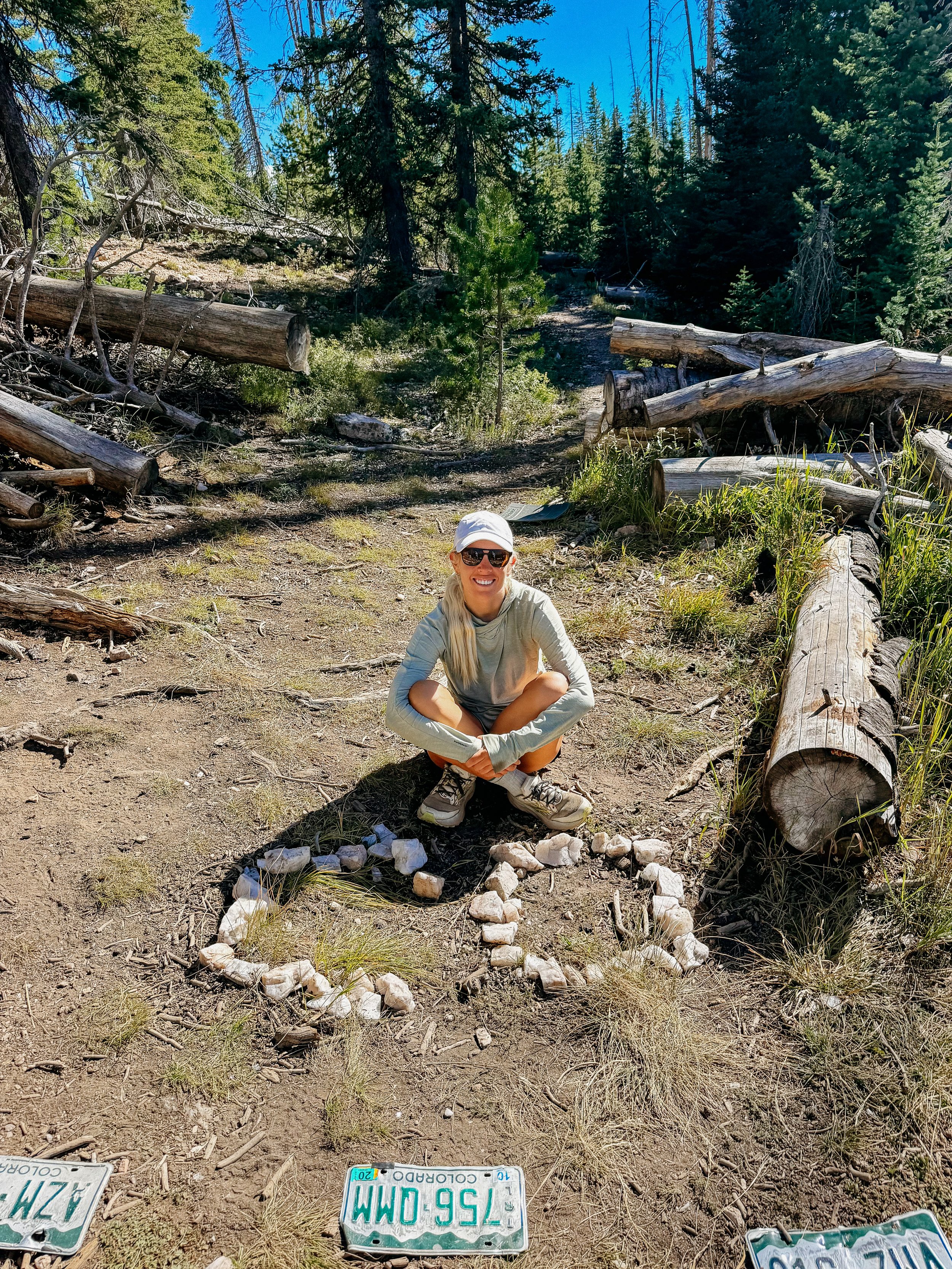
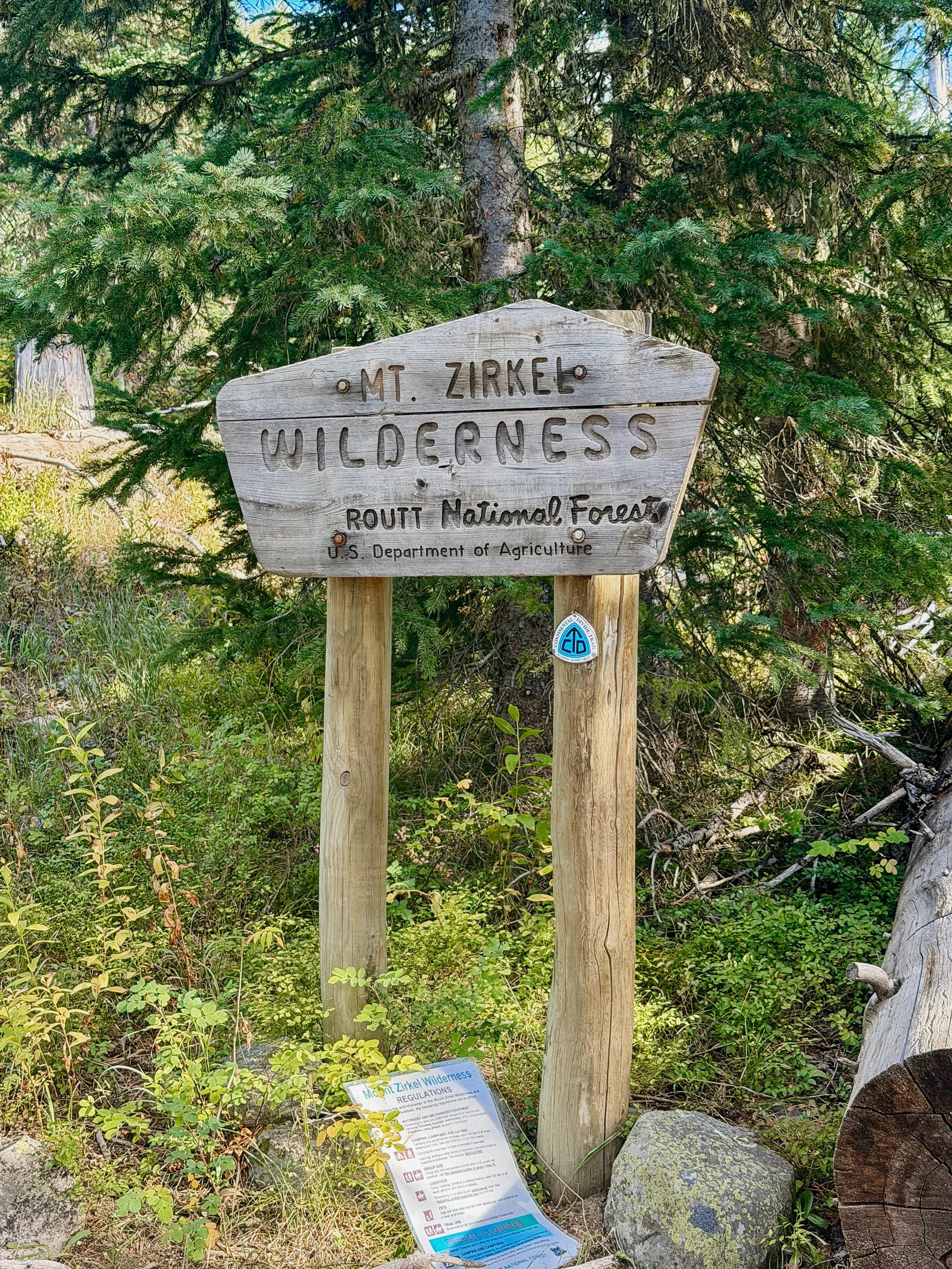
Finally the Colorado line! This was a fun state line to cross for a multitude of reasons. First, the actual crossing is fun. There are license plates from each state and huge rock signs. Second, this was my 21st state of my triple crown attempt. Lastly, I lived in Colorado from 2018-2024. When I left in 2024, it was not my choice. Someone else’s poor decisions forced my hand. I was happy to be back.
I camped only a few miles after the state line as there were some steep grades greeting us. As I was setting up along a dirt road that also served as the trail, I was shocked to see how many hunters on ATVs there were. Tis the season?
-
SLEEP: Camp at Mile 1534. 1
MILES: 26.4
ELEVATION GAIN: 4646 ft
ELEVATION LOSS: 3996 ft
WEATHER: Sun, Rain
OVERVIEW: Llamas on the trail are so cute!
This was somewhat of a bang average day. There was initially lots of dirt road walking along ridges. There was the promise of trail magic in coolers at mile 2 for the day, but they were empty. So sad.
The dirt roads continued until there was a temporary detour because a bridge was out near North Fork Elk Creek. At this point, the detour was more trodden than the redline so it was easy all the way down to my lunch spot near that same river.
The majority of the afternoon was a slight grade down in a beautiful canyon. Though there were some small burn areas, it was stunning. Once down near Seedhouse campground, it was a short jaunt up the road to cross the major river on a bridge. The remainder of the day would entail climbing.
The climb was difficult but broken into a few segments. The first would lead to another road where many hunters were gathering. One group was six strong, all on horseback. A bit of this wove through another burn areas. As I wrapped up the last (and steepest!) segment, I saw a group of hunters with llamas at their camp. They were their pack animals and too cute!
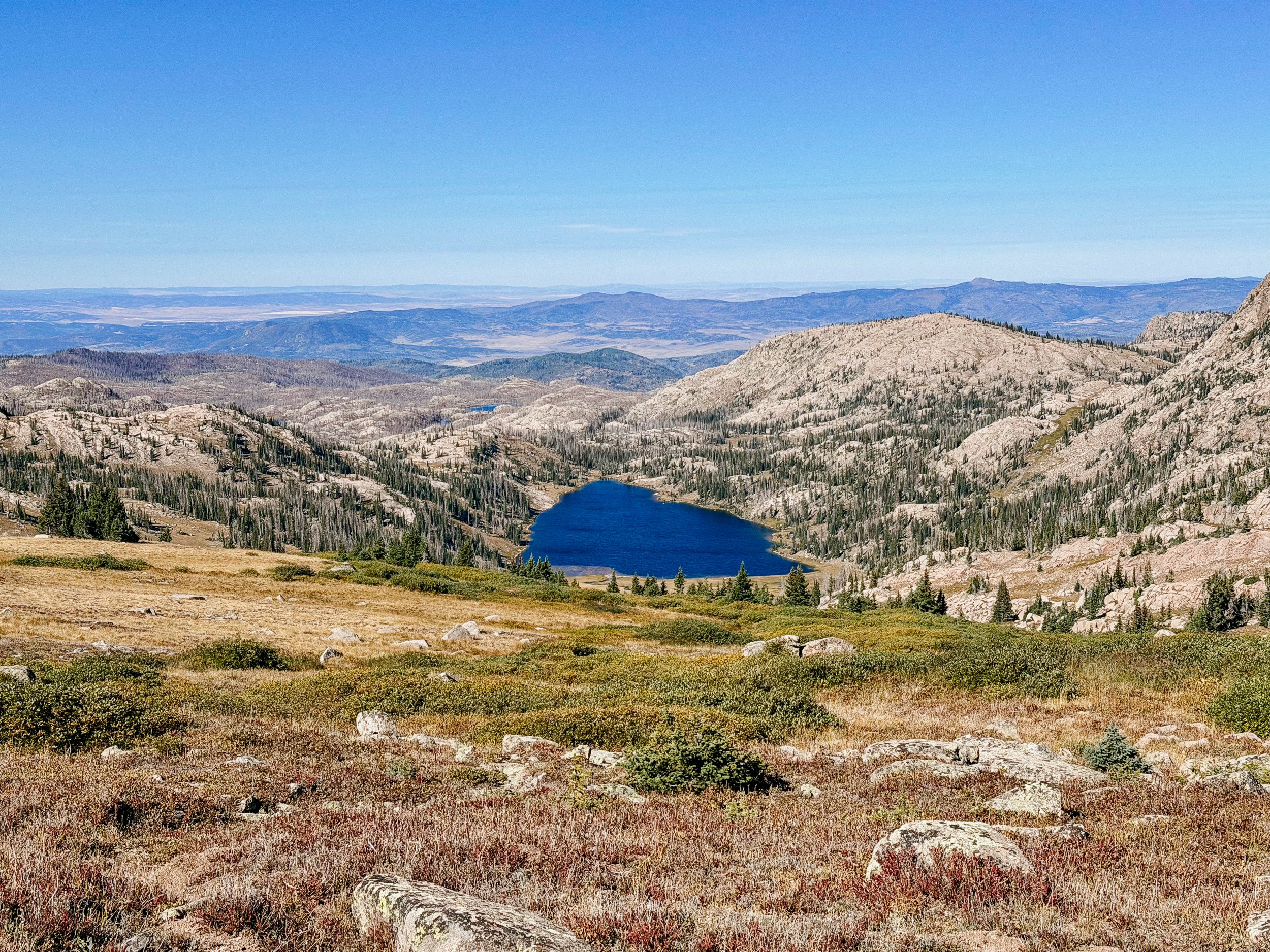
I camped at North Lake, which was stunning. A peaceful lake, though hard to collect water from. This was one of the highest spots George and I camped at so once the sun went down, the temperature precipitously dropped.
-
SLEEP: Camp at Mile 1560.6
MILES: 25.4
ELEVATION GAIN: 3776 ft
ELEVATION LOSS: 4547 ft
WEATHER: Sun, Rain, Cold
OVERVIEW: Nearly there!
This day held much elevation gain and all at high altitudes. Waking up near the lake was freezing with a lot covered in condensation. That’s what I get for wanting water nearby!
The ascents and descents felt like some terrible rollercoaster that I didn’t realized I entered. I hate rollercoasters. We got to above 12,000ft and was provided with beautiful views for our efforts. Until lunch, the day was brutal.
We had lunch near Buffalo Pass, which was memorable to me. When I previously lived in Colorado, I visited this area a few times. I vividly remember not wanting to hike much on the CDT because of how difficult it was. Now, this was one of the easier bits of my day.
The rest of the day cruised on by through both more burn zones and lush forest. Eventually I found camp near another small lake, this time George and I set up our tents under trees hoping to combat some of the cold.
-
SLEEP: Air B and B in Steamboat Springs
MILES: 10.4
ELEVATION GAIN: 777 ft
ELEVATION LOSS: 955 ft
WEATHER: Sun
OVERVIEW: First town stop in CO!
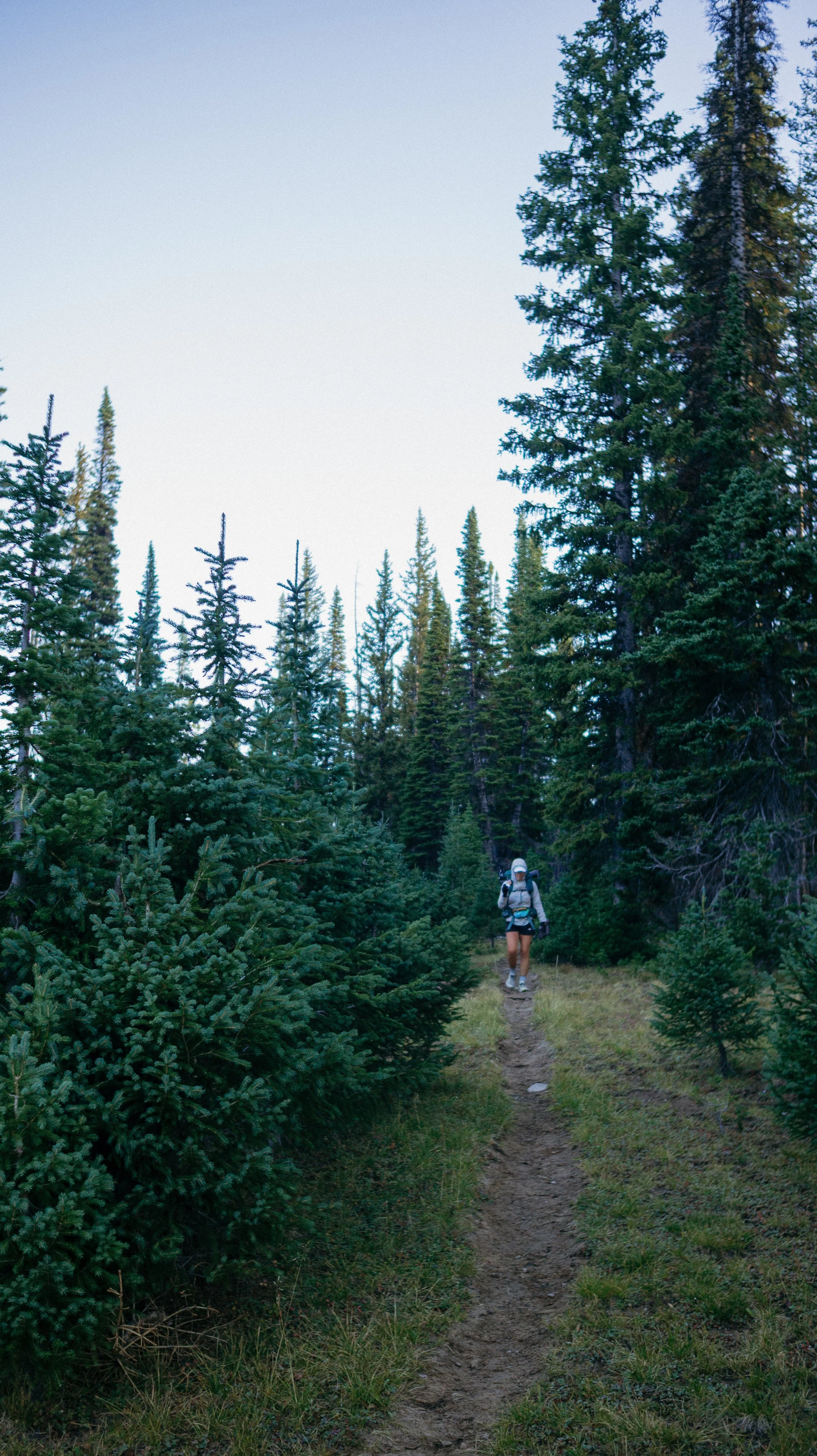
Based on the mileage we had been doing, it was thankfully a short day into Steamboat Springs. I set off before sunrise and was greeted a few miles in to a spectacular morning performance.
The miles came quickly and all of a sudden I was at the road. It is a decent hitch into town but since it was a Friday, I was hopeful. Just as I stuck my thumb out, a car pulled up and dropped off another hiker. She offered to give us a ride back into town! Iceman was the hiker who happened to not just be doing the CDT but a new trail a 2000 mile great Colorado loop. Amazing amazing stuff!
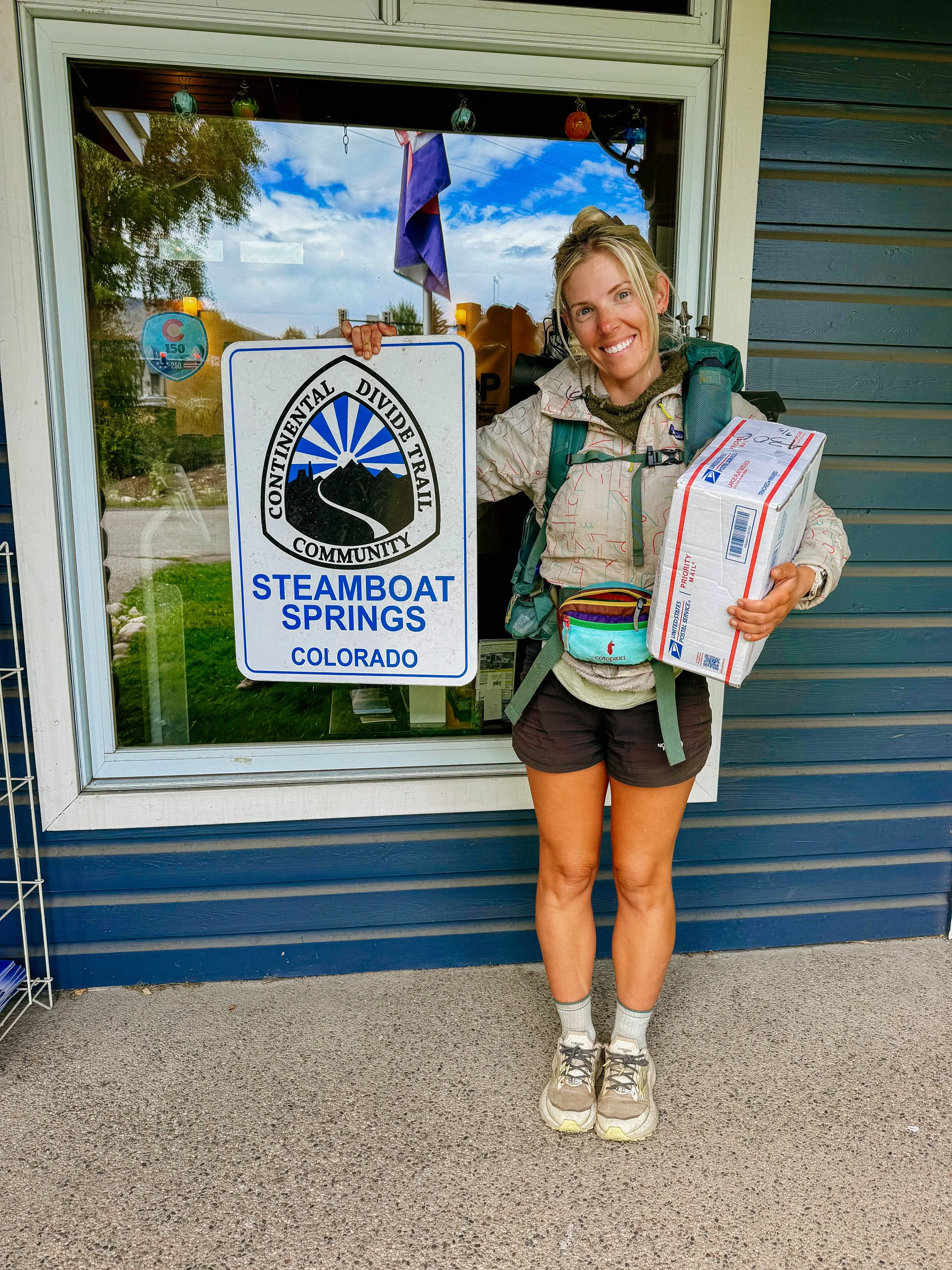
Megan was so sweet, she dropped us off at the post office. After nearly 2 hours of searching for the boxes, contacting the original place that denied our boxes, they ended up being in the original resorts PO Box. Thankfully the Postal worker was kind and understanding.
After that, it was a typical day of chores. Breakfast, work at a coffee shop, visited the visitor center that houses treats for the hikers, small grocery haul for the impending zero day, and finally getting tucked in to the Air b and b. I made a big dinner and gluten free brownies while doing laundry. A treat!
-
SLEEP: Air B and B in Steamboat Springs
MILES:0
ELEVATION GAIN: 0
ELEVATION LOSS: 0
WEATHER: Who knows!
OVERVIEW: Relaxation is nice!
This was like any other zero; sleep in, breakfast, chores, nap, relax, call friends and family. I was thankful for the respite!
GALLERY