Continental Divide Trail: Lander - Rawlins
INTROThe Continental Divide Trail is a National Scenic Trail spanning approximately 3,100 miles from Mexico to Canada (or vice versa) through Montana, Idaho, Wyoming, Colorado, and New Mexico, following the geological continental divide.
NOTE
I am hiking the Continental Divide Trail southbound from Canada to Mexico. This trail will complete my Triple Crown of hiking, which includes both the Appalachian Trail and the Pacific Crest Trail.
Unlike the Appalachian Trail and the Pacific Crest Trail, the Continental Divide Trail is somewhat of a choose your own adventure. Alternatives routes, and A variety of options allows this trail to be more fluid. I will do my best to explain the routes that I take in the detailed section.
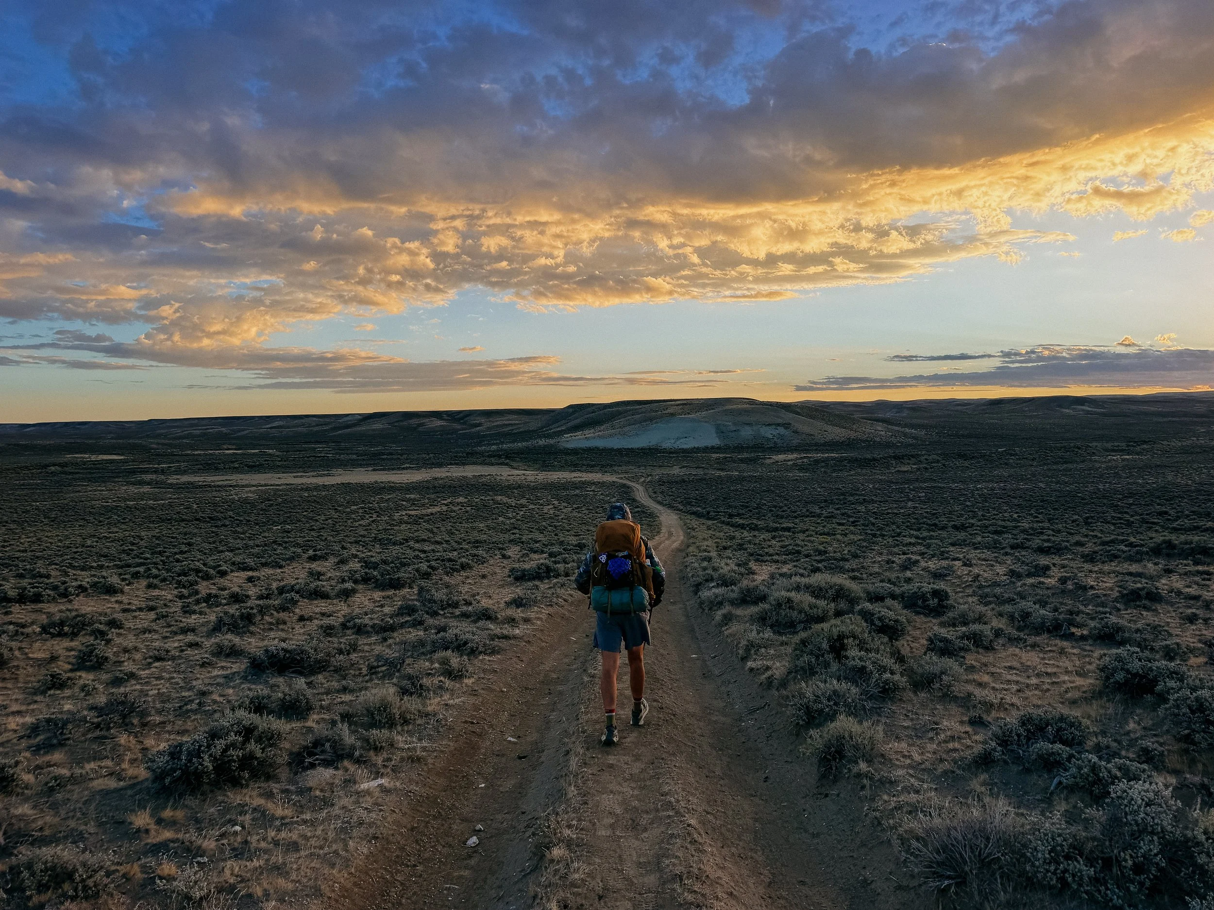
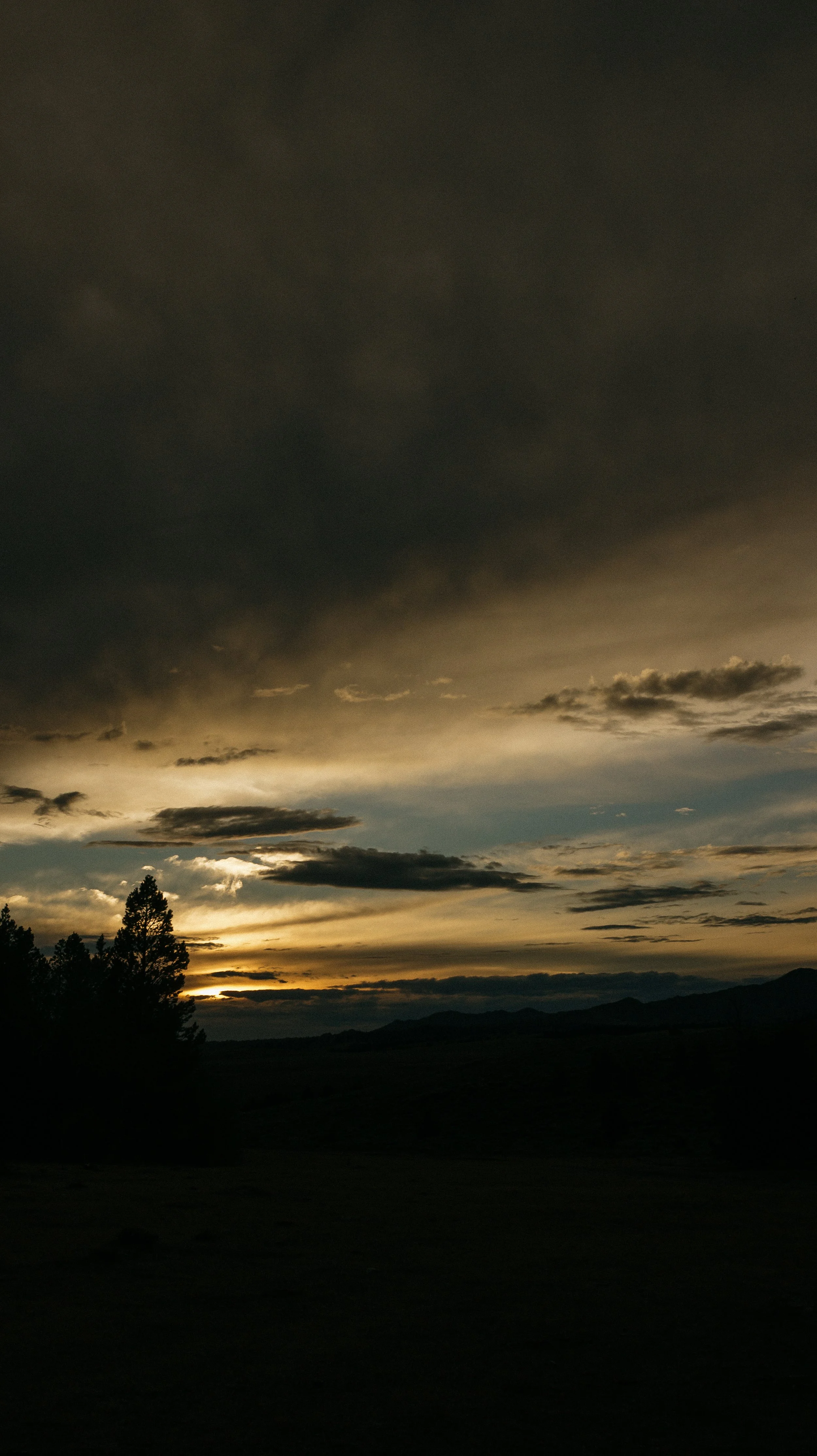
Sunset
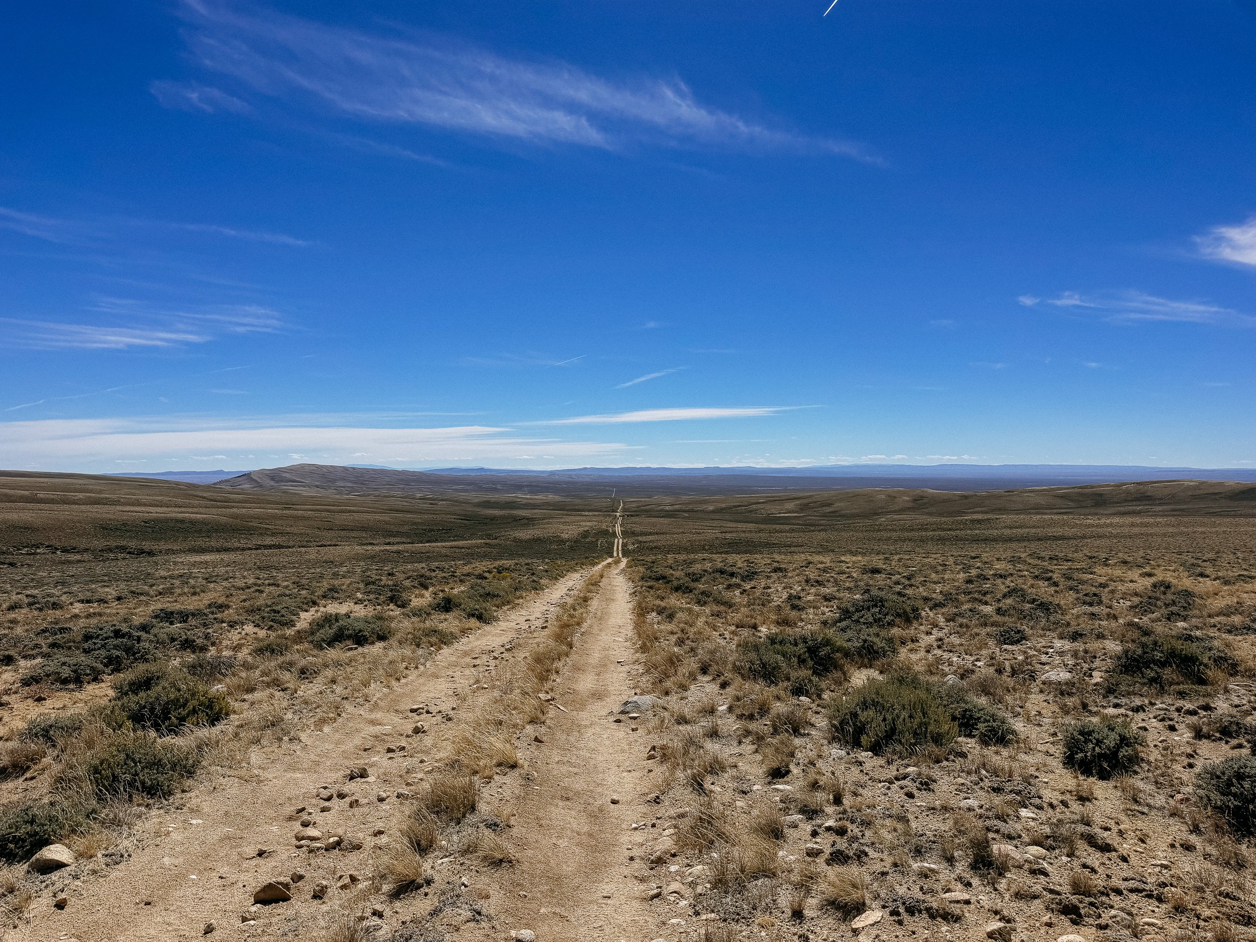
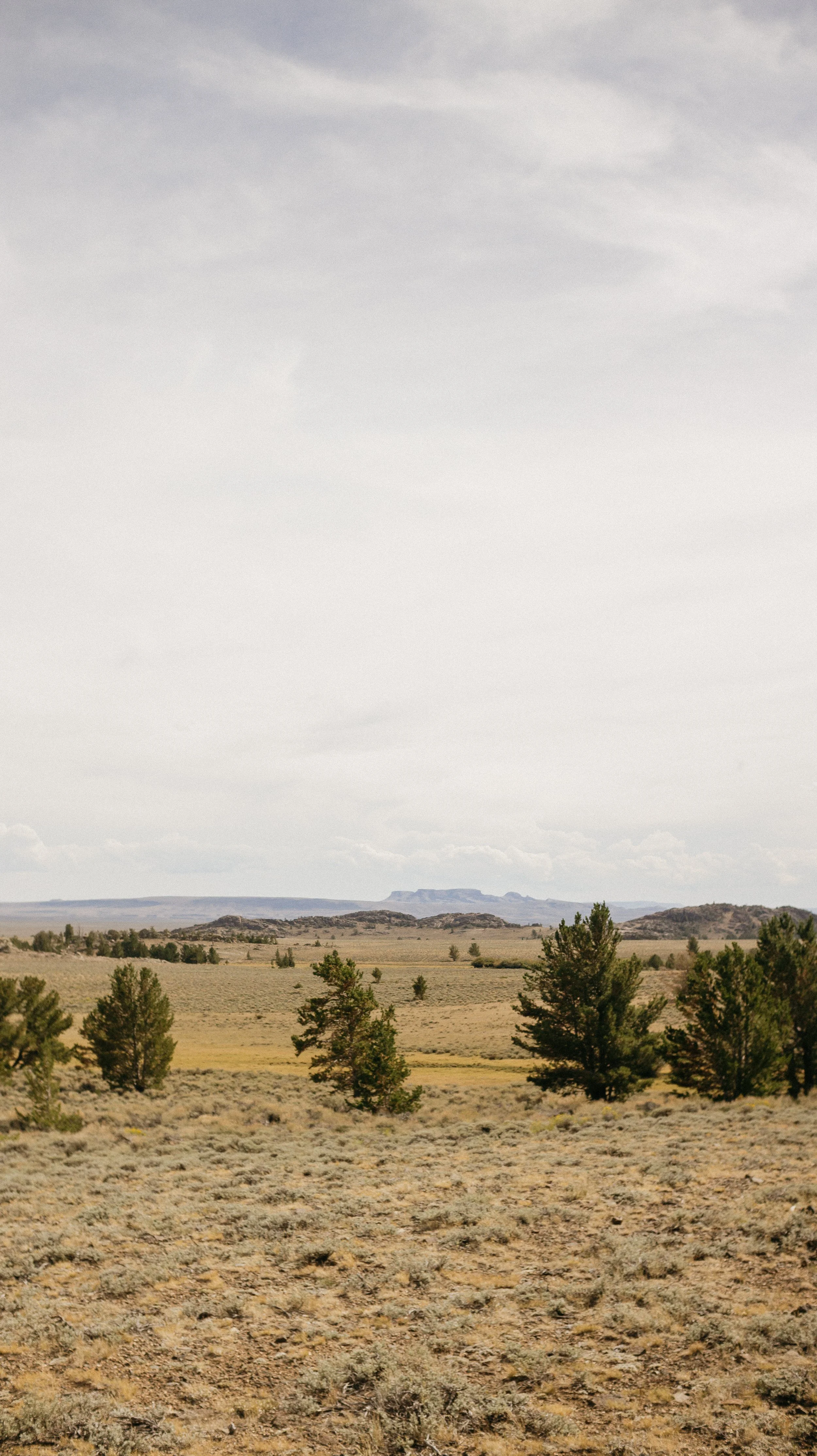
Day 67-71 took me from Lander, Wyoming - Rawlins, Wyoming. This section encompassed the infamous Wyoming Basin. A dry, flatter than the previous section, mostly along dirt roads tempts hikers to do big mileage days. I fell into this trend, doing three over 30-mile days in a row. The Basin was tough in its own way and would have been exponentially more difficult without the care of trail angels! Walking directly into Rawlins, Wyoming felt like a small celebration.
OVERVIEWTOTAL DAYS5
FULL HIKING DAYS3
zeroes0
neroes2
TOTAL ELEVATION GAIN10,072 ft
TOTAL ELEVATION LOSS11,315 ft
MILES COVERED120.1 miles
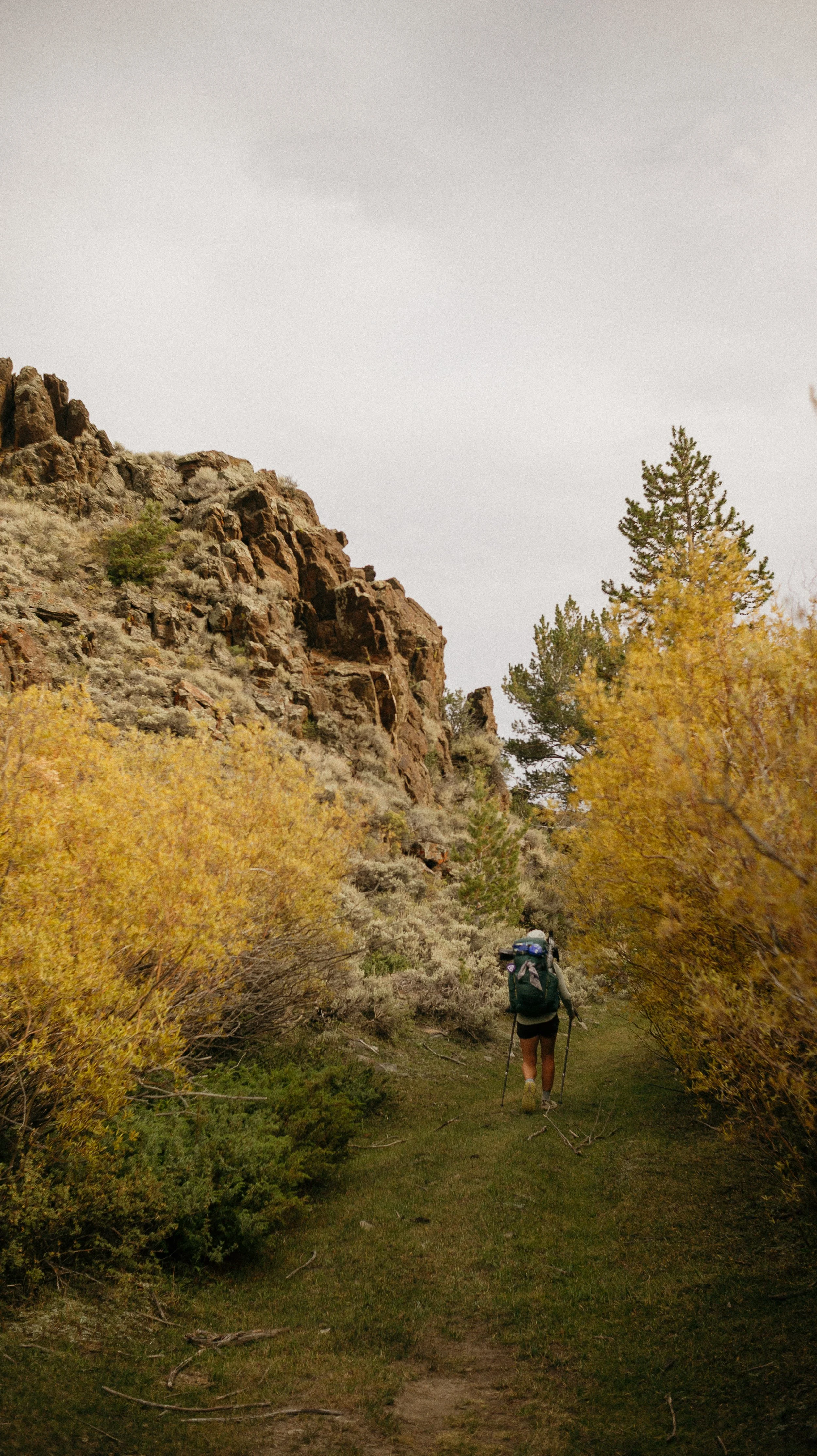
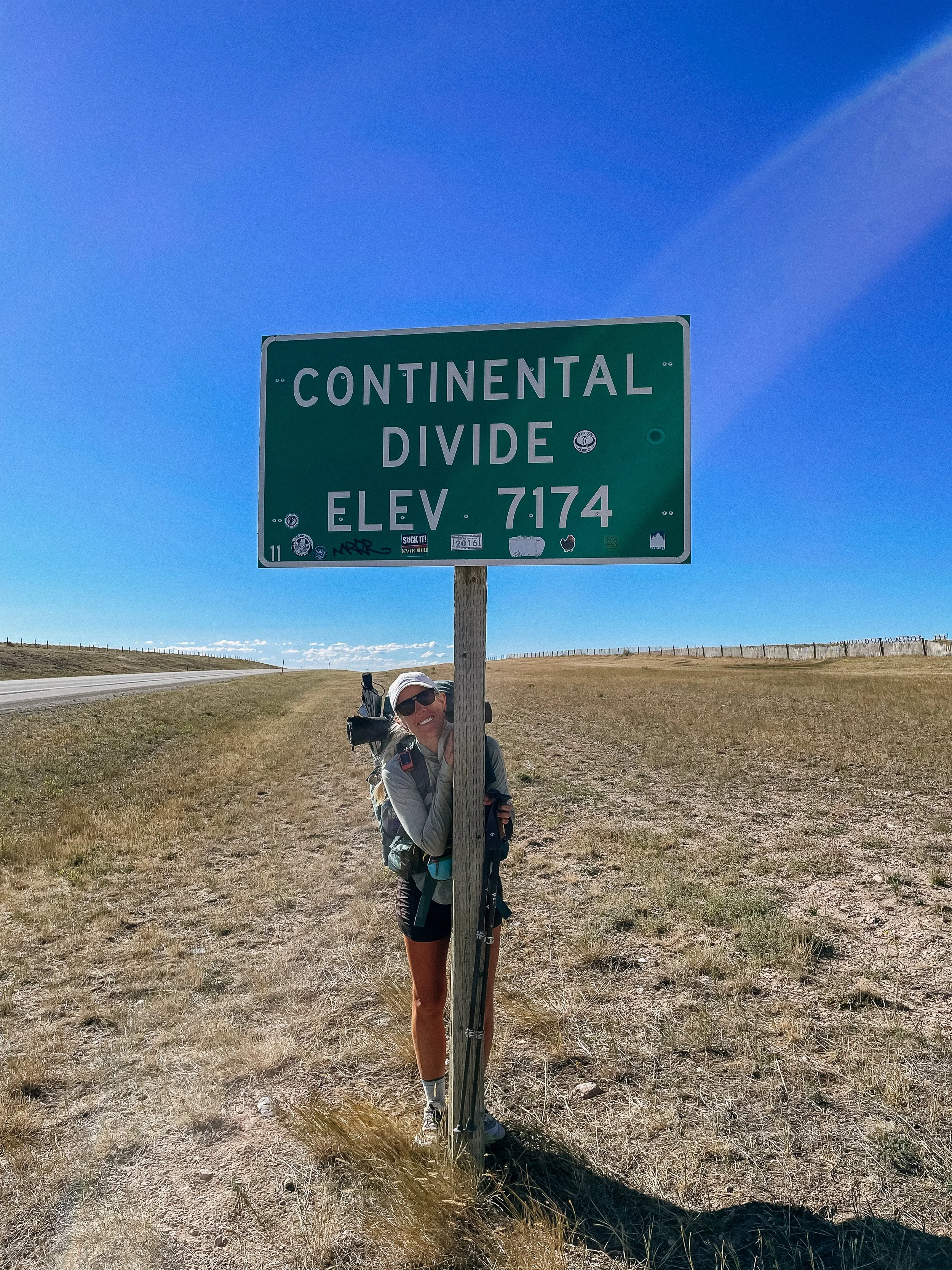
-
Successfully completing the infamous Basin section!
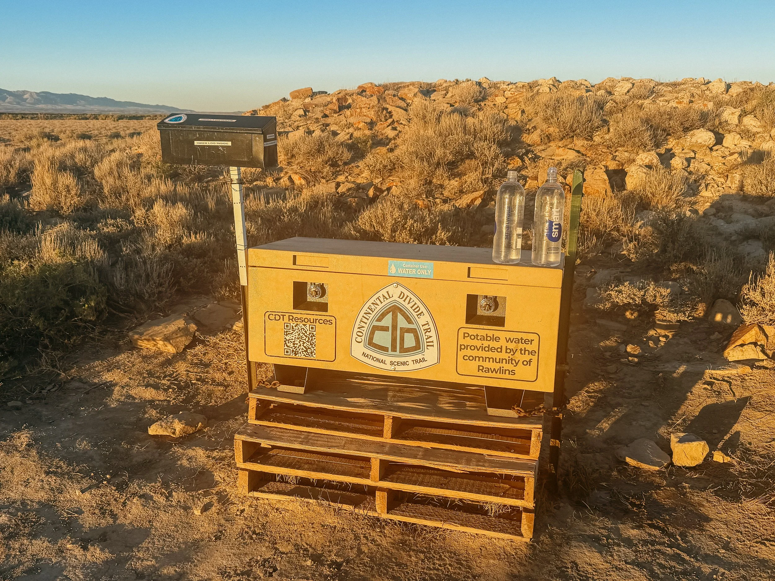
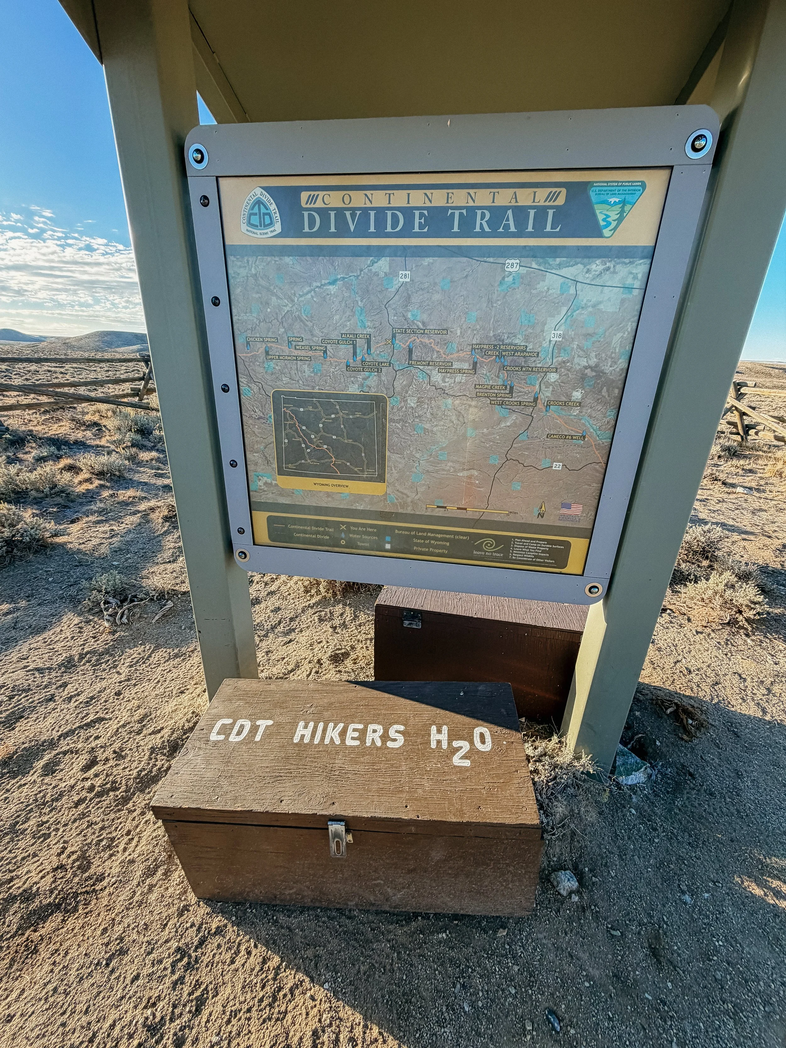
The water caches maintained by organizations and trail angels.
The SOBO bubble that emerged!
-
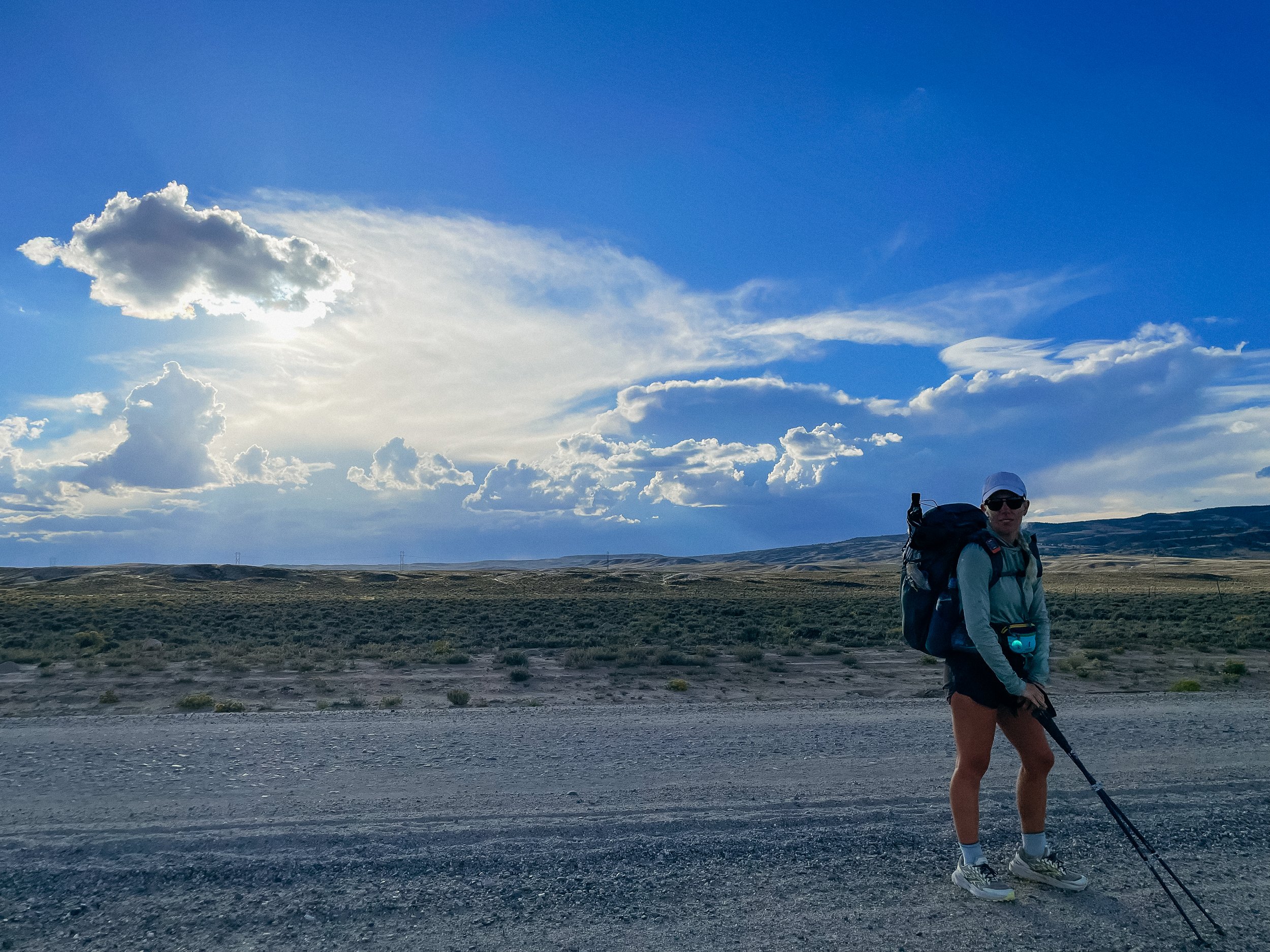
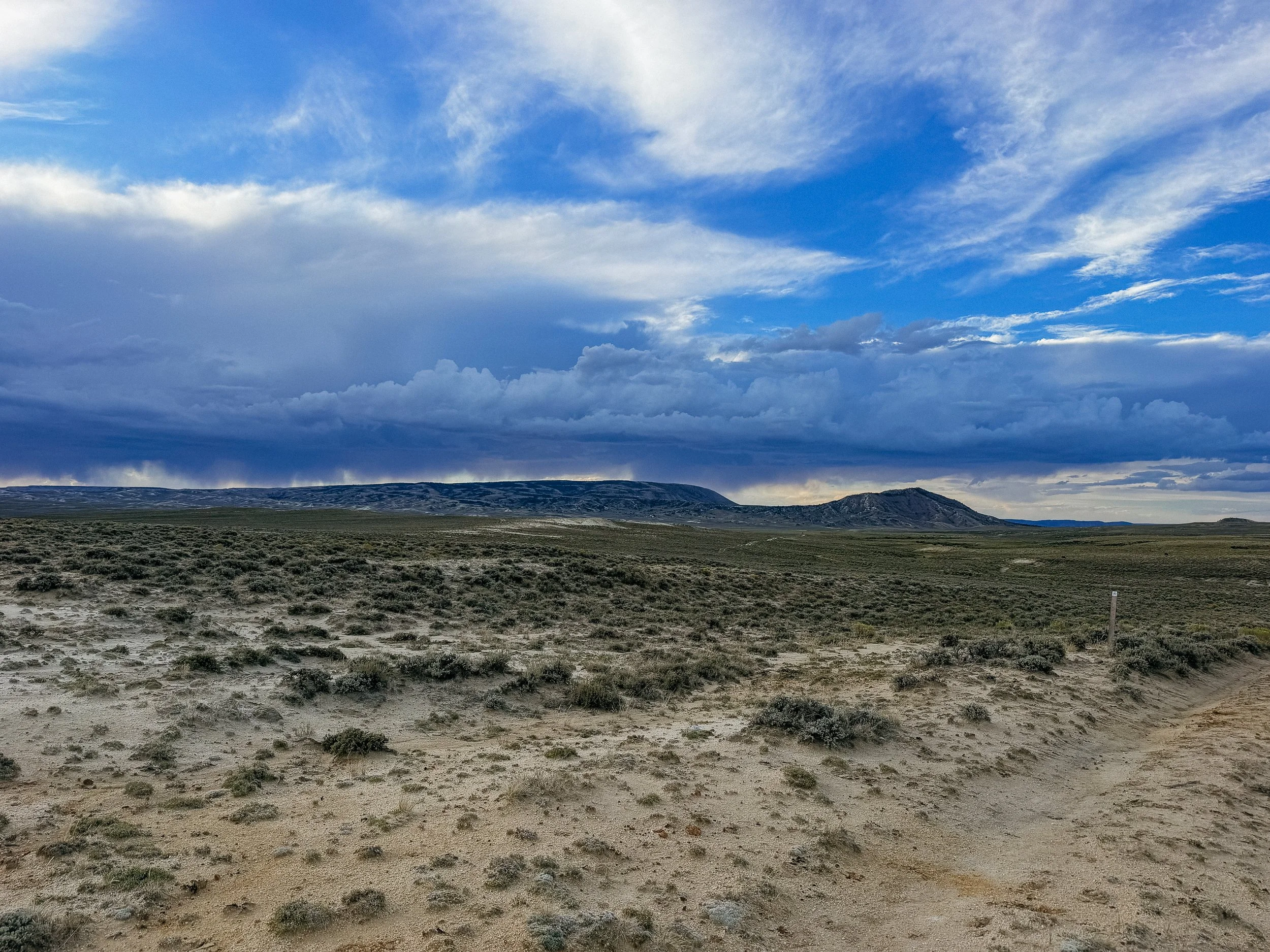
Monsoon season continued and would shape my days.
Rattlesnake country again? Nah.
Sage brush and sand trails.
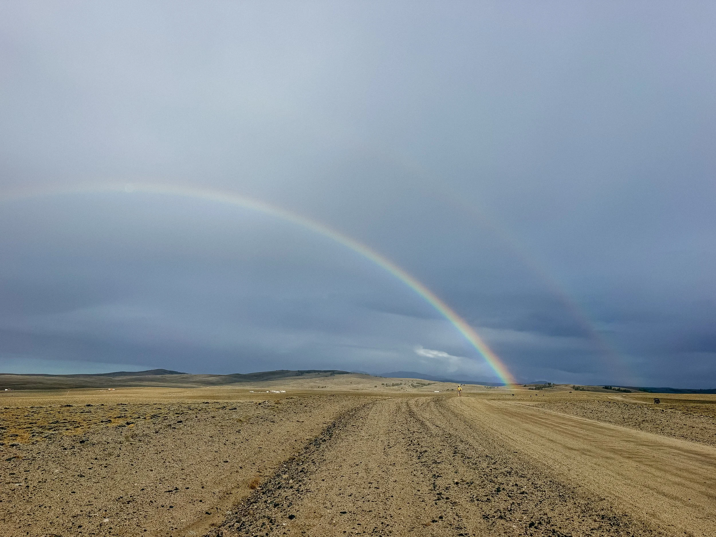
Double rainbow for monsoon season
In Depth
-
SLEEP: Camp at Mile 1285.2
MILES: 5.9
ELEVATION GAIN: 643 ft
ELEVATION LOSS: 600 ft
WEATHER: Sun
OVERVIEW: A real Wild West city!
After zero day in Lander, it was hard to leave town. We didn’t end up leaving until the afternoon because I had a package waiting for me at the post office that I had to get on this Monday morning. After a disappointing time in an average coffee shop, we briefly stood on the corner to attempt a hitch out of town the long way back up to the trailhead.
I hadn’t even stuck my thumb out yet when two cars pulled over immediately to offer us rides. It was easy to tell this was a trail town! While heading back up to the pass, our hitch gave us the history of the area, which was actually very helpful for the coming days.
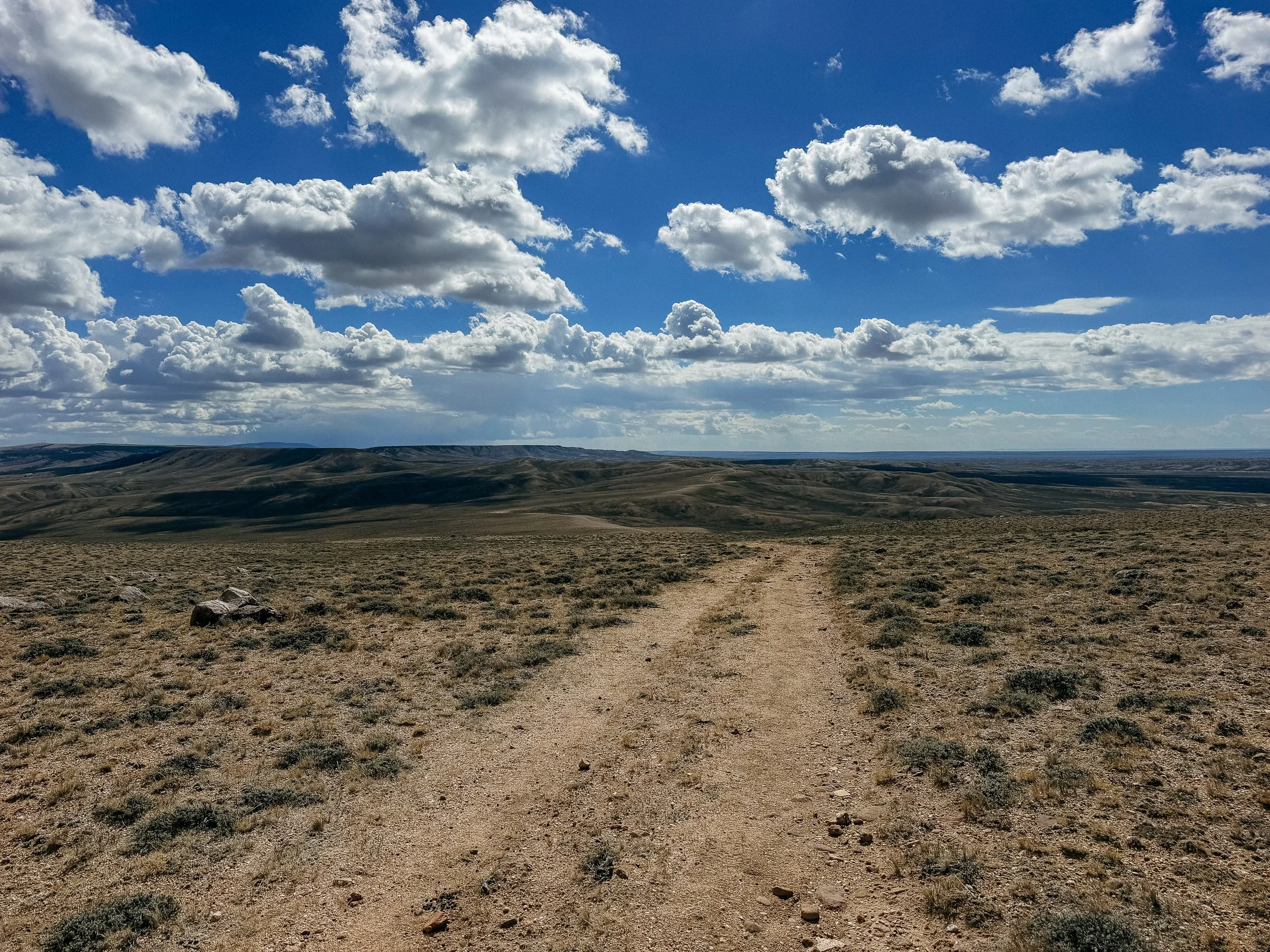
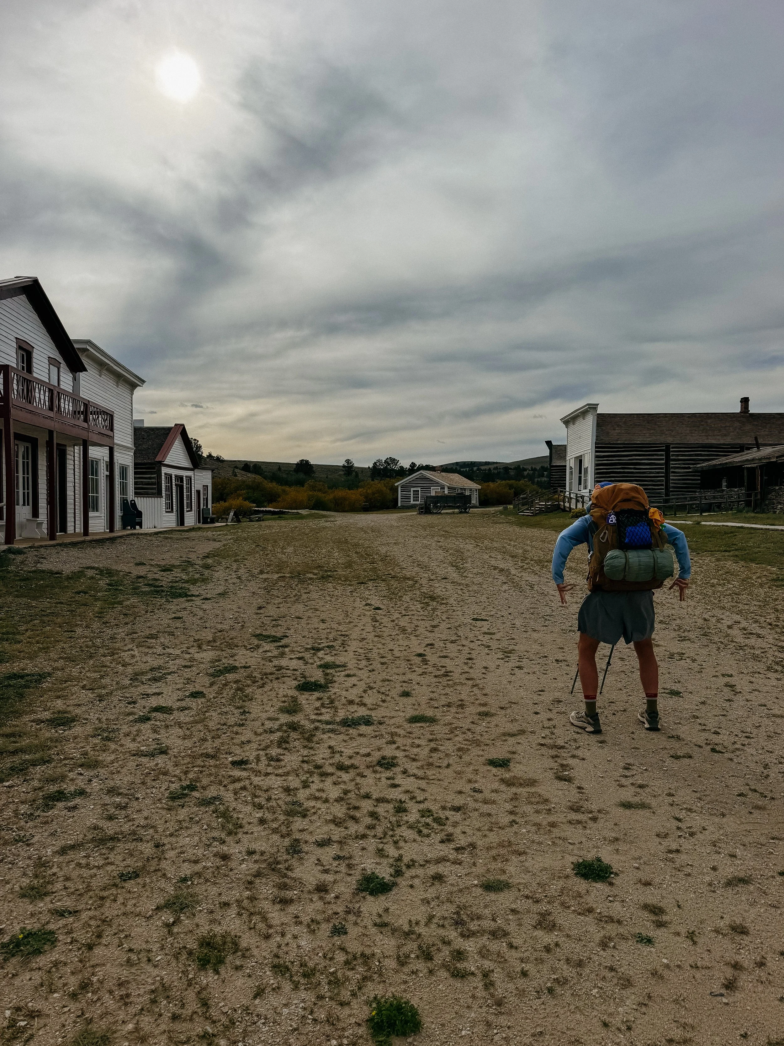
This section is called the Wyoming Basin. It is known for being flat, dry, and at some points… boring. There are a few old mining towns that line in the area, which is the first part that you come to in the day, South Pass City. Though this is typically a spot where there is admission to explore, the trail runs right through it so hikers are allowed.
There is a small gift shop that serves as the cornerstone for the city. A once booming mining town, this relic holds much history. George and I spent over an hour touring buildings and reading every informational placard there was. This town also has such a nice hiker area with outlets, water, bathrooms, and access to WiFi. It was a great community feel.
I camped only a few miles past South Pass City, ready for a big day the following day.
-
SLEEP: Camp at Mile 1317.8
MILES: 32.6
ELEVATION GAIN: 1804 ft
ELEVATION LOSS: 2953 ft
WEATHER: Sun, Monsoon Rain
OVERVIEW: First full basin day!
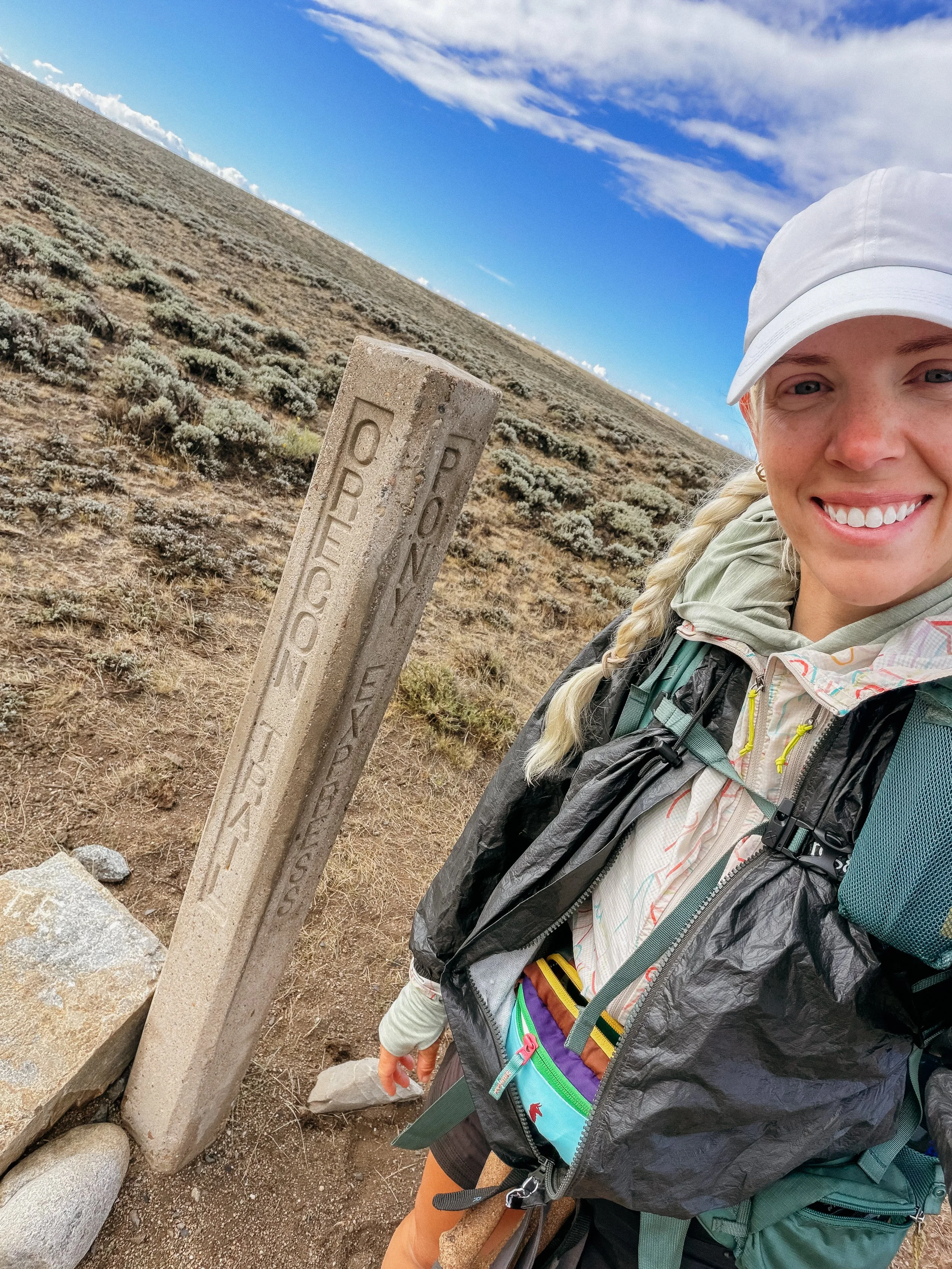
Insert daily journal The first full day of the Wyoming Basin was primarily roadwalks. A lot of gravel and dirt roads weaving through flat land. I crossed the Oregon Trail several times, which was a hilarious throw back to my youth as that was one of my favorite video games!
I realized at over 12 miles in for the day, I had yet to take a ‘pack off’ break, so I did that at a large river - a rarity in the area! Lunch came at 17 miles, our hopeful halfway point for the day.
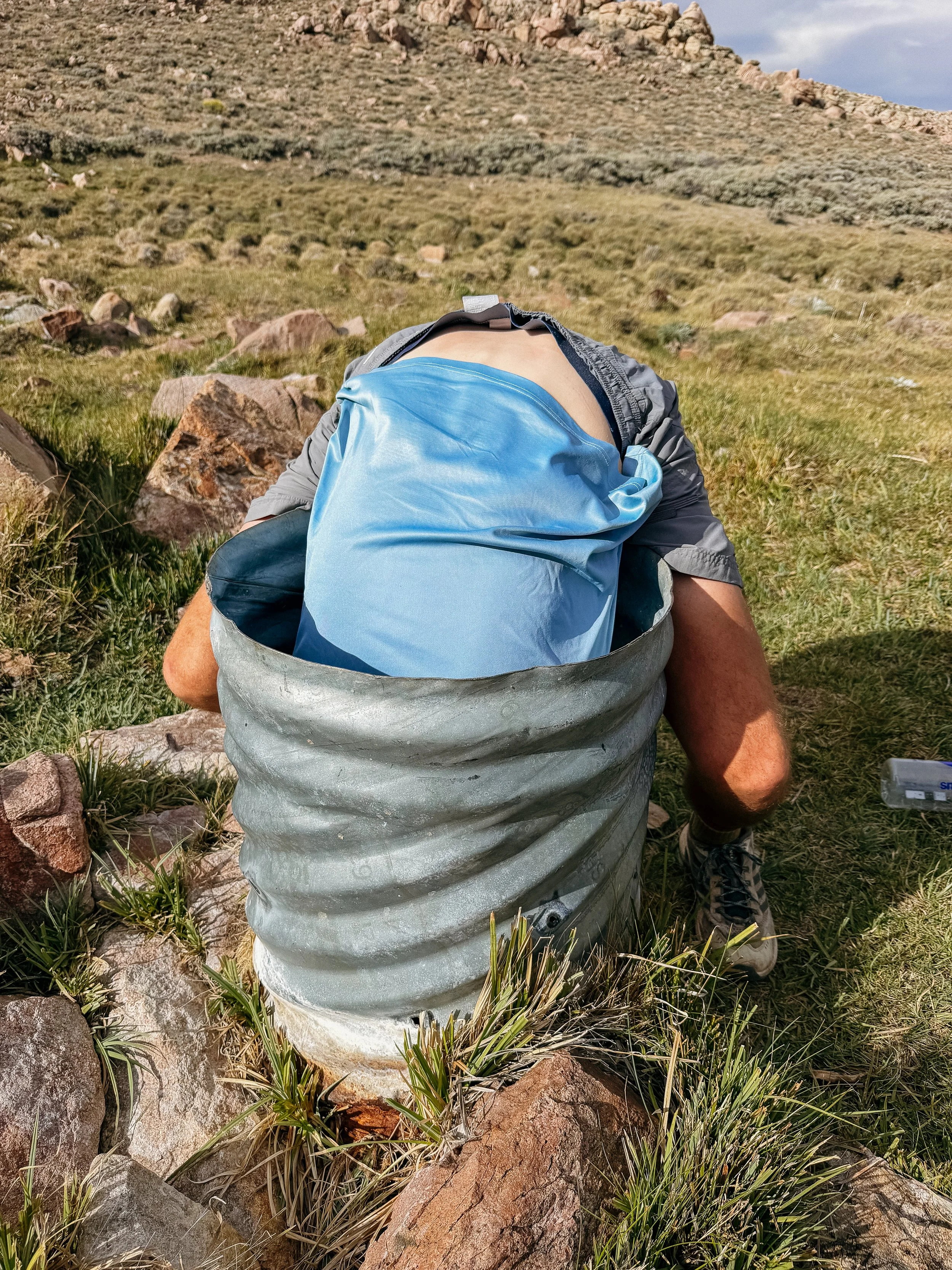
This was a podcast day as the climbs were gentle and the scenery only slowly changed. The last water source of the day was in a spring that was rapidly declining. George had to reach at a comical angle to get water for us - as I couldn’t reach the water at all!
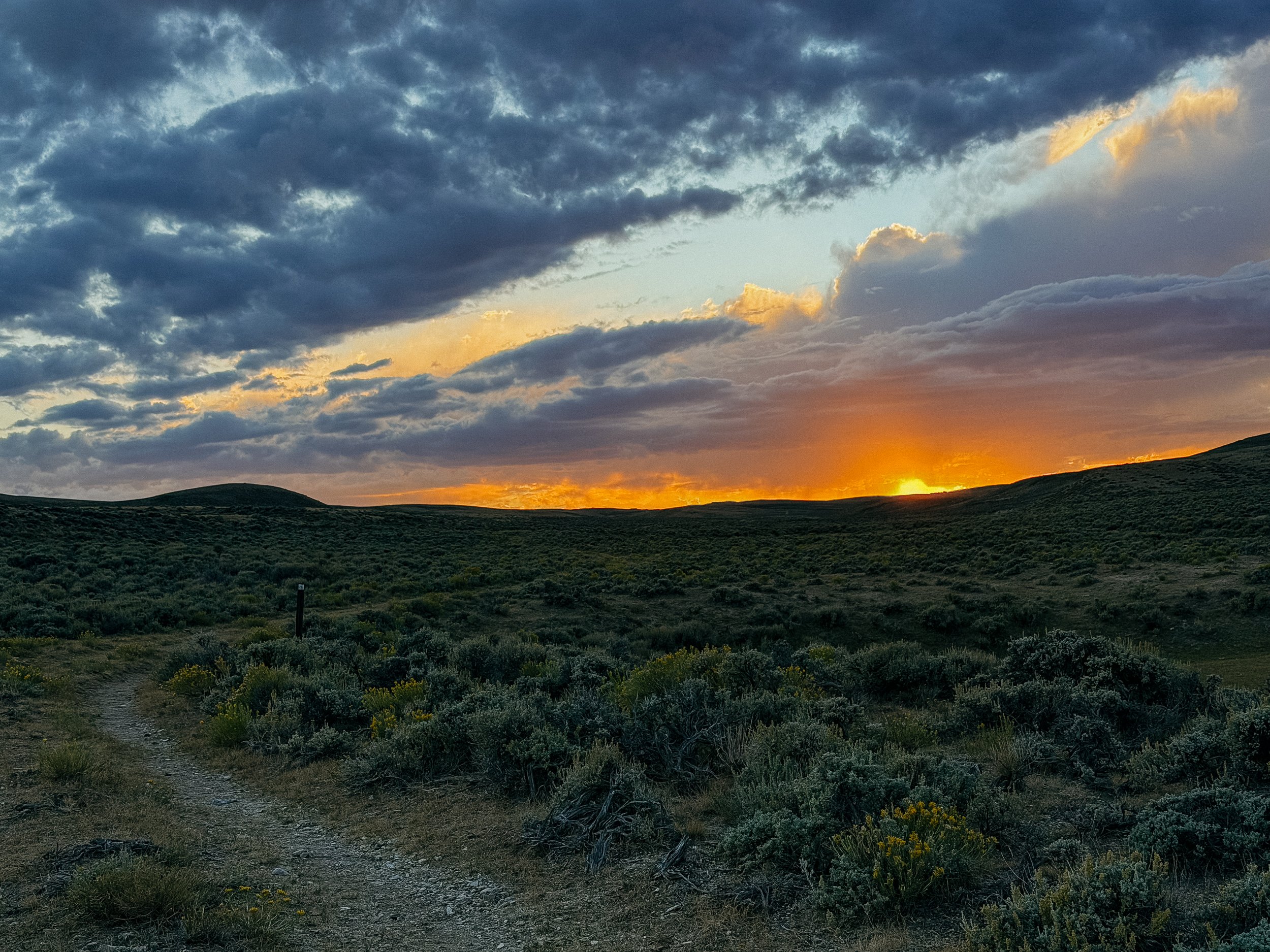
The last miles of the day were tough but made better by a beautiful sunset. A monsoon cloud loomed but it stayed away. This was really the first time I realized that sunset was now before 8:00pm so the days of hiking until 8:30pm were officially done. Unless I wanted to night hike but nahhh. here.
-
SLEEP: Camp at Mile 1349.1
MILES: 30.8
ELEVATION GAIN: 3875ft
ELEVATION LOSS: 3835 ft
WEATHER: Sun, Thunderstorm
OVERVIEW: Monsoon season!
Another long day awaited us as I wasn’t able to make it as far as I originally wanted the day before. Sunrise miles move quickly though and soon I arrived at a water cache that kind trail angels set up for the hikers. I am constantly moved by people’s generosity.
This day was nearly all roadwalks. It was at times tough hiking in sand from washed out areas. There were very few water sources which made my pack a bit more uncomfortable than normal.
More monsoon clouds followed me in the afternoon and into the evening. So much so that George and I opted to set up our tents in early again because the storm was coming directly for us. It was swift but fierce and I was happy I set mine up when I did. It was near a water source which meant I heard critters all night. My favorite was wild cats - probably bobcats - with what sounded like kittens!
-
SLEEP: Camp at Mile 1381.4
MILES: 32.3
ELEVATION GAIN: 2306 ft
ELEVATION LOSS: 2661 ft
WEATHER: Sun
OVERVIEW: Stupid rattlesnake!
Another long day lay ahead with the goal getting as many miles as possible as the following day was a town day! The less miles into town, the better.
The morning was primarily walking in sand. The dirt roads degraded into ruts/pits of sand. This was a frustrating endeavor that lasted longer than desired. But listening to the coyote packs howling to one another while the sun rose made it a little better.
At one of the only water sources of the day, there was a herd of pronghorns nearby. Again, watching them run in a group all together while tackling difficult terrain with ease was something to see. While at the water source, I was greeted by a wild horse. Singular focus of thirst, it didn’t care about our presence.
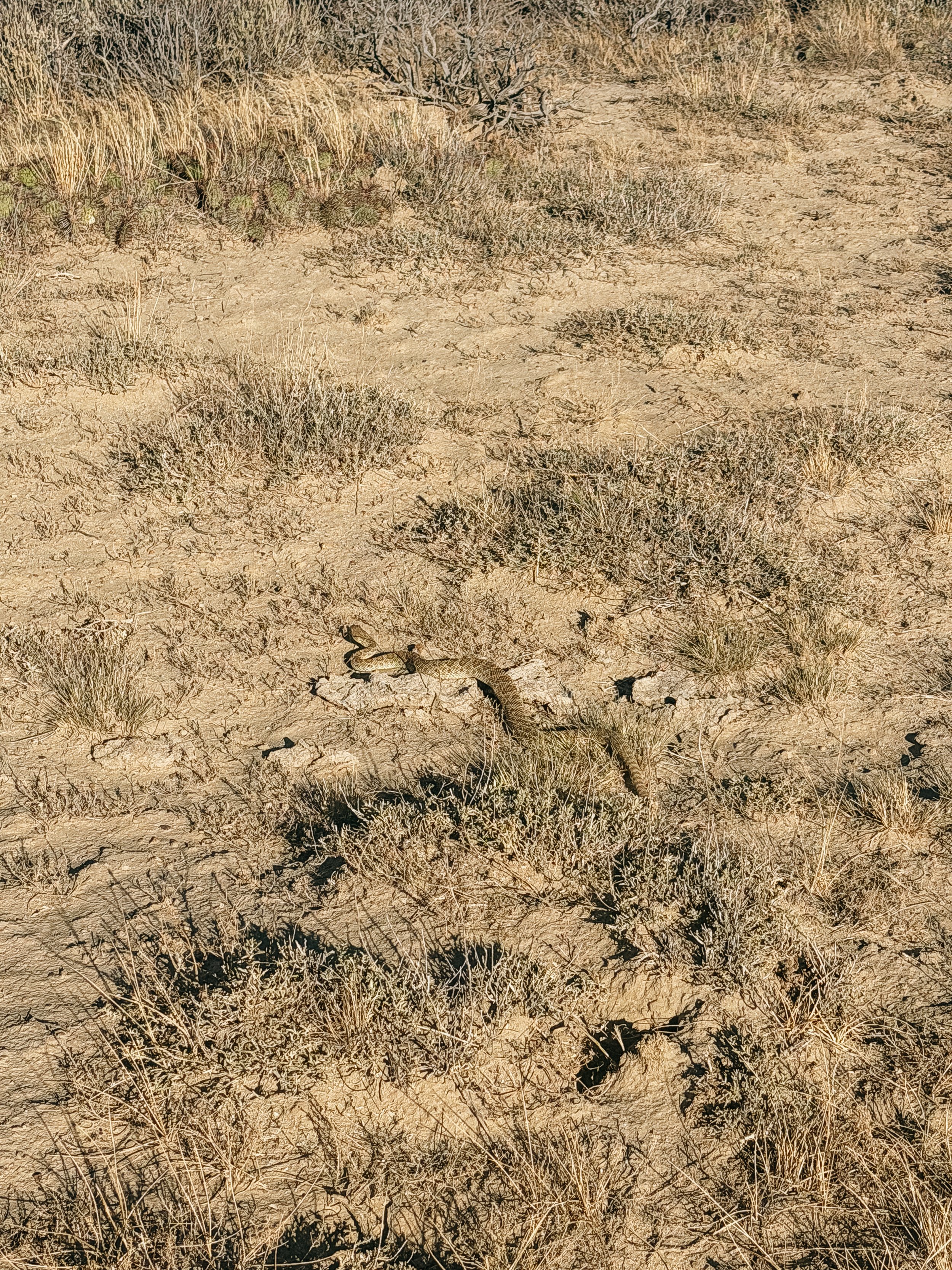
The rest of the day went by both fast and slow. As I was approaching the last water of the day, a water cache put there by trail angels, a rattlesnake greeted me. I knew they were in the area but they had eluded me up until this point. With one quick rattle of his tail, he continued crossing the trail in front of me.
I arrived at the water cache and had dinner with George. The sun was setting so I set up camp not too far from there, leaving a decent chunk of miles for the following day. I looked around for snakes, but thankfully was spared.
The coyotes went wild as I fell asleep.
-
SLEEP: Hotel in Rawlins
MILES: 18.5
ELEVATION GAIN: 1444 ft
ELEVATION LOSS: 1266 ft
WEATHER: Hot, Sun
OVERVIEW: Conquered the Basin!
It was only about 18 miles directly into town, so I set off early. The trail walks parallel to the highway that goes directly into Rawlins, which I opted to take. The trail was all sage brush and risk of rattle snakes. I would take the pavement beating on my legs to prevent any poo interactions.
The roadwalk was long but expected. People were seemingly very confused at what I was doing but that comes with the territory.
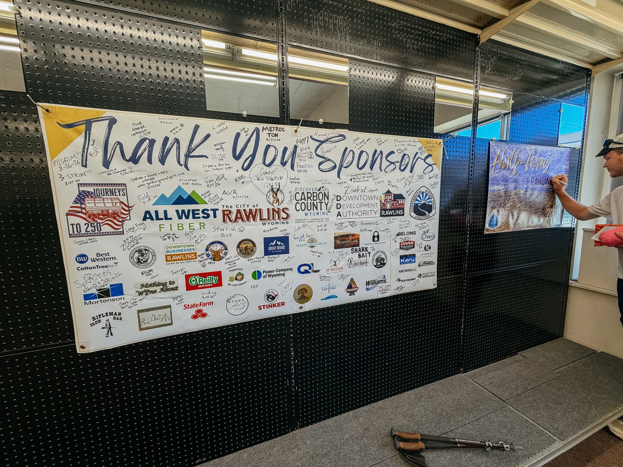
After what seemed like a small eternity, George and I arrived into town. As we were bumbling in, partially limping from the roadwalk, we ran into a huge group do hikers; Ferrari, Tumbleweed, Killjoy, Hoochy, Coyote, Radio, Steady, Caddyshack, Freestyle, 50/50, Indy, and Tumbles dad! We all ate at the Thai buffet and were a happy SOBO group.
Afterwards we all went into Great Divide Outdoor Company and were greeted by Sage, an incredible trail angel. Thank you for all you do!
The rest of the day was for chores but also to celebrate the end of the Basin. It was a quiet evening.
GALLERY