Continental Divide Trail: Dubois - Lander
INTROThe Continental Divide Trail is a National Scenic Trail spanning approximately 3,100 miles from Mexico to Canada (or vice versa) through Montana, Idaho, Wyoming, Colorado, and New Mexico, following the geological continental divide.
NOTE
I am hiking the Continental Divide Trail southbound from Canada to Mexico. This trail will complete my Triple Crown of hiking, which includes both the Appalachian Trail and the Pacific Crest Trail.
Unlike the Appalachian Trail and the Pacific Crest Trail, the Continental Divide Trail is somewhat of a choose your own adventure. Alternatives routes, and A variety of options allows this trail to be more fluid. I will do my best to explain the routes that I take in the detailed section.
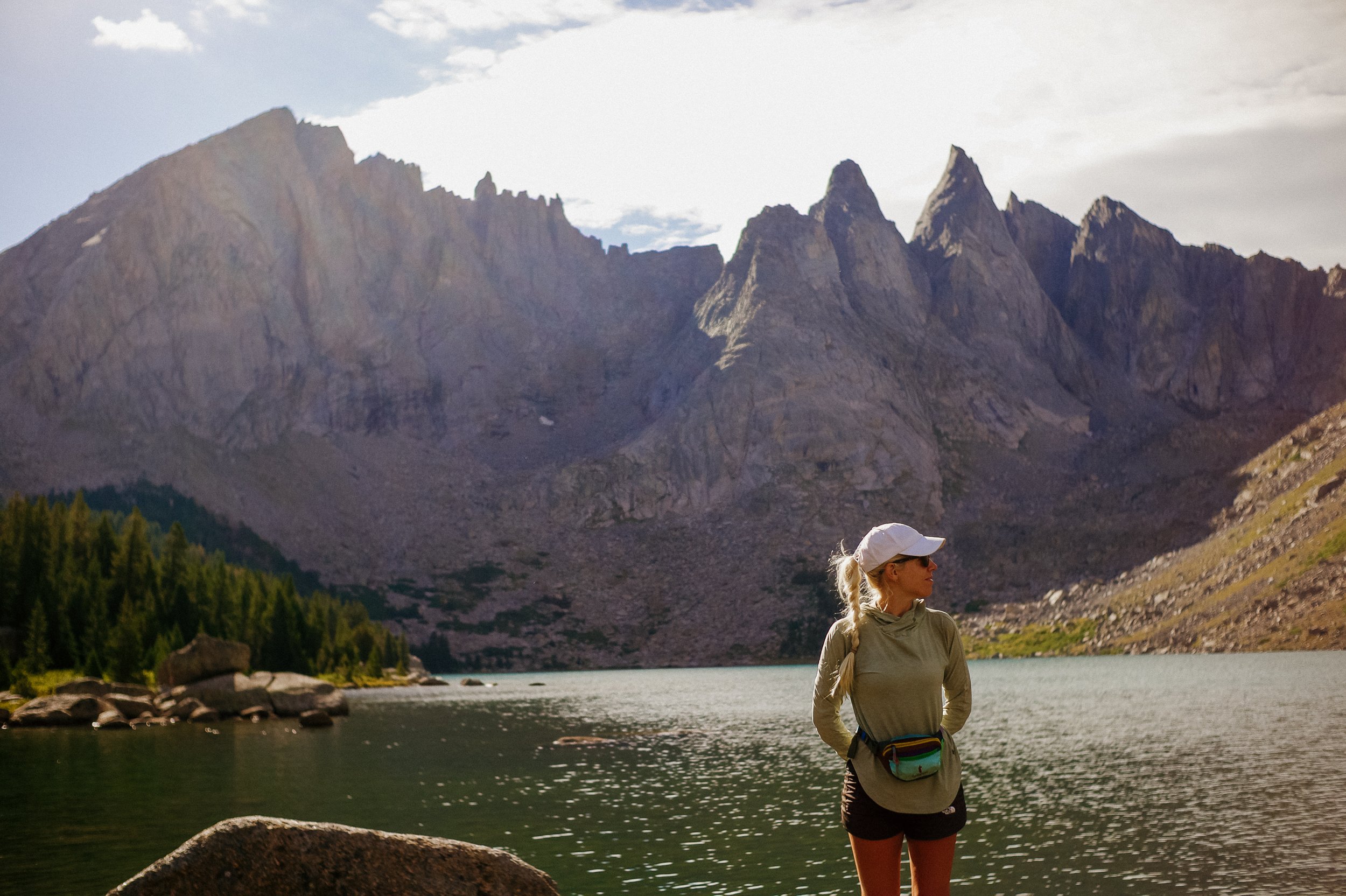
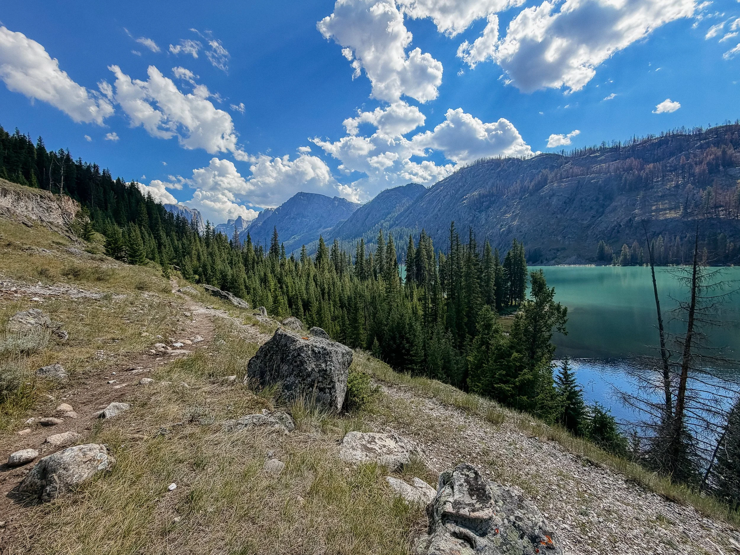
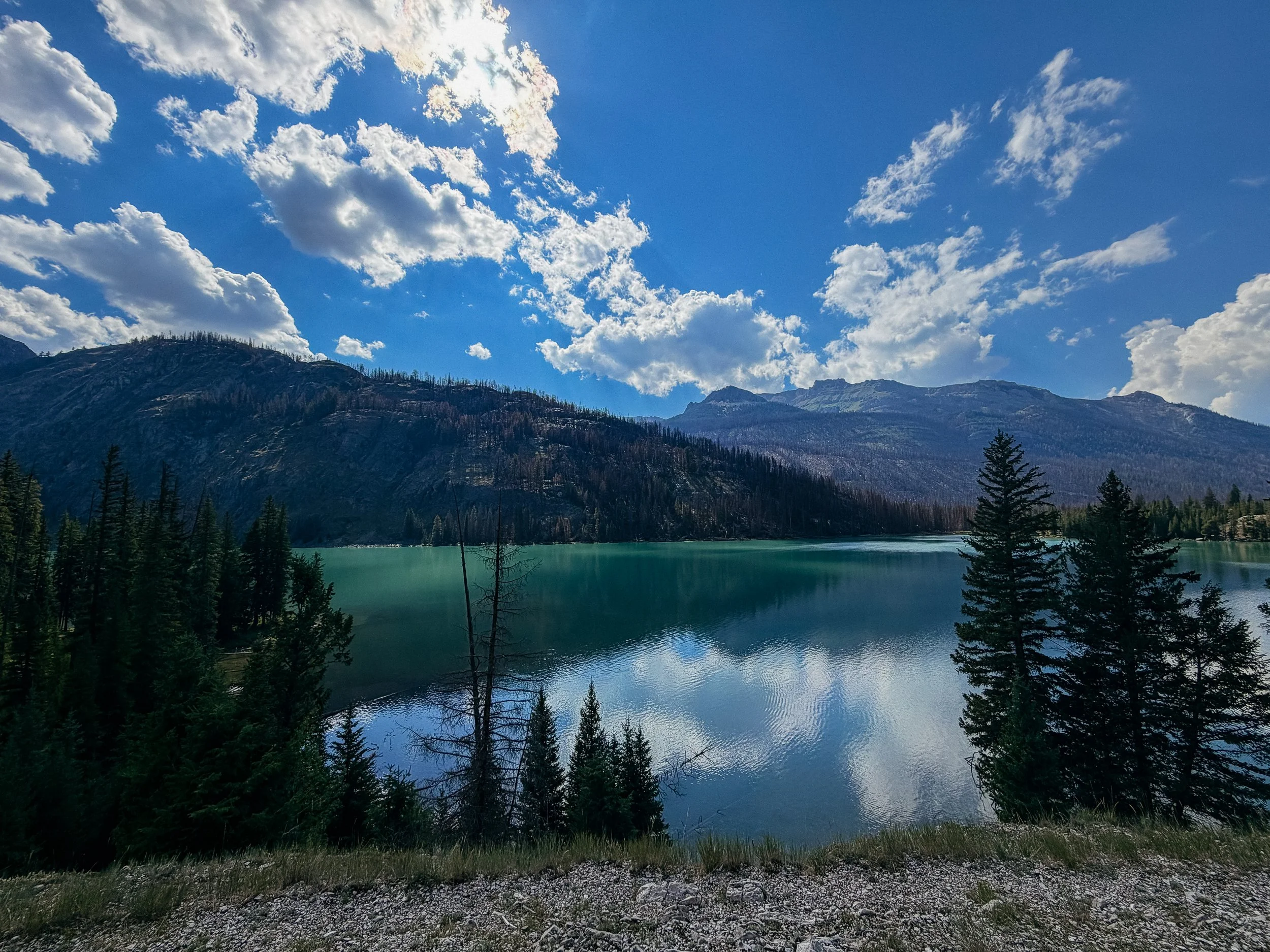
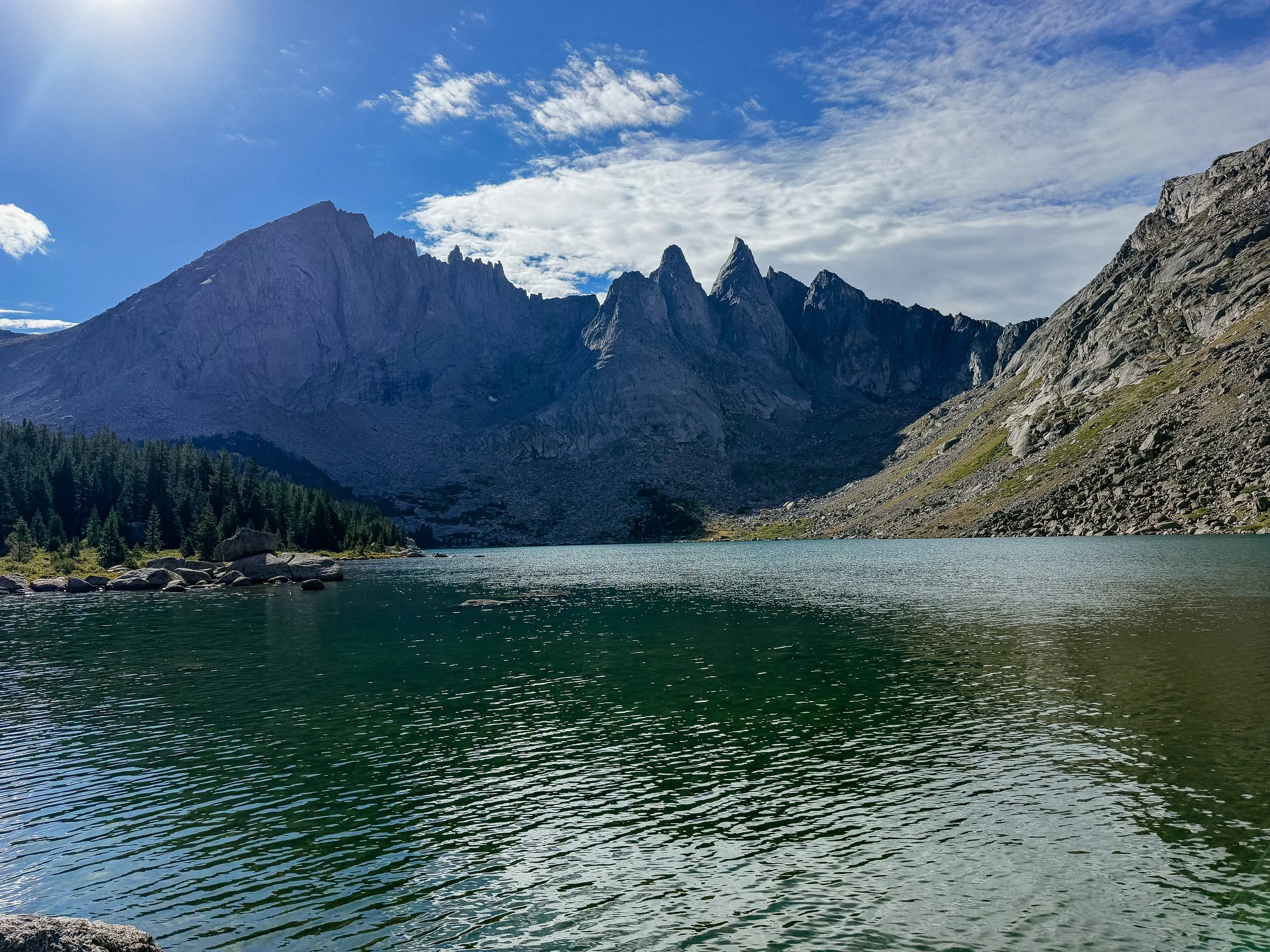
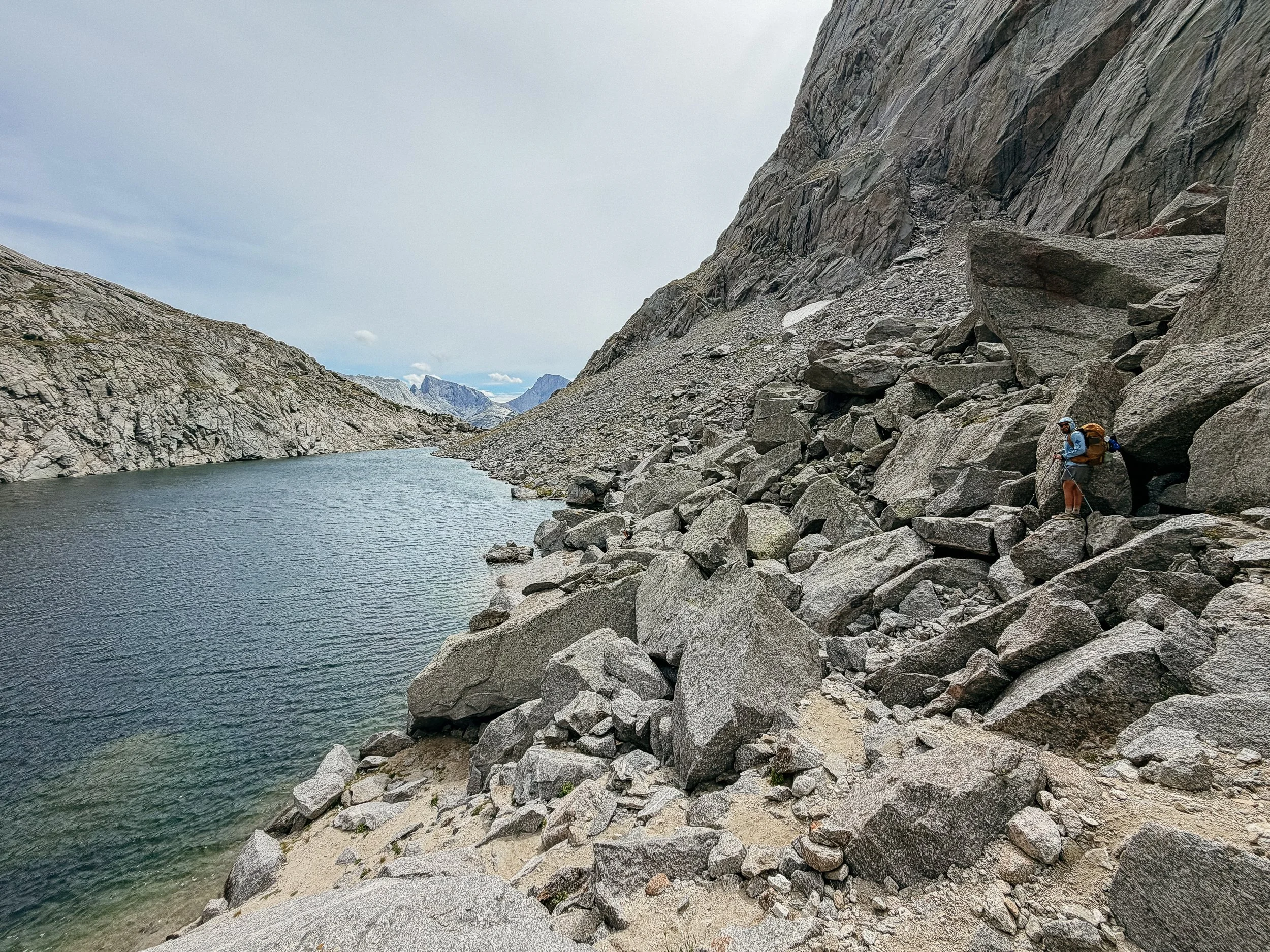
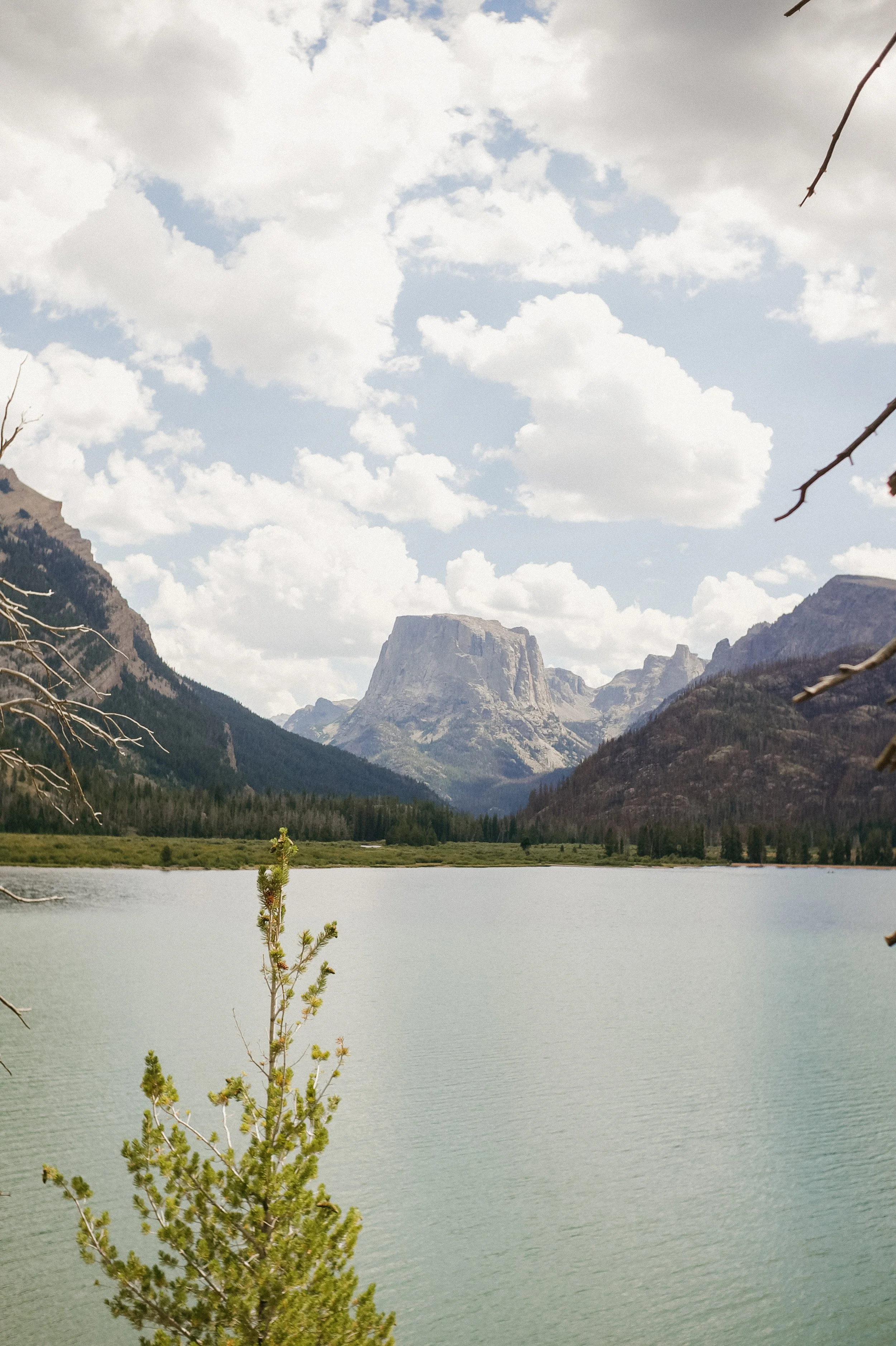
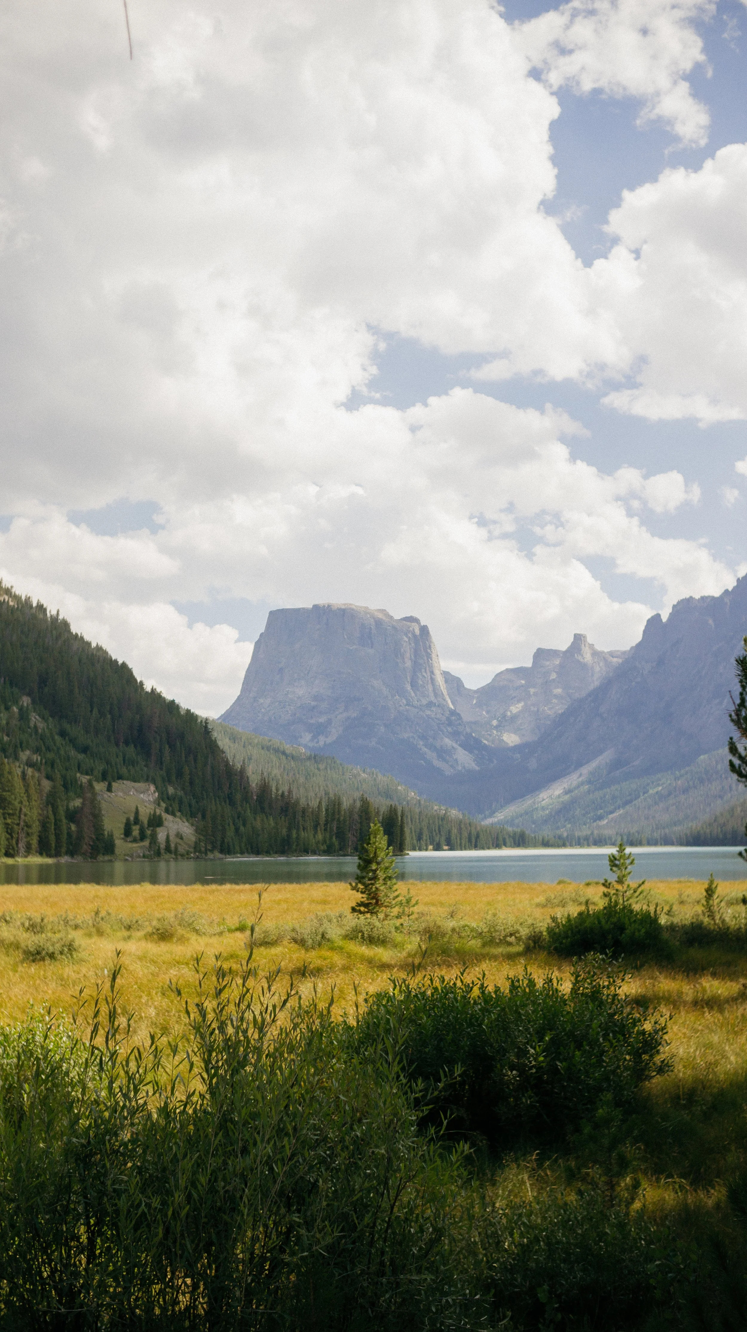
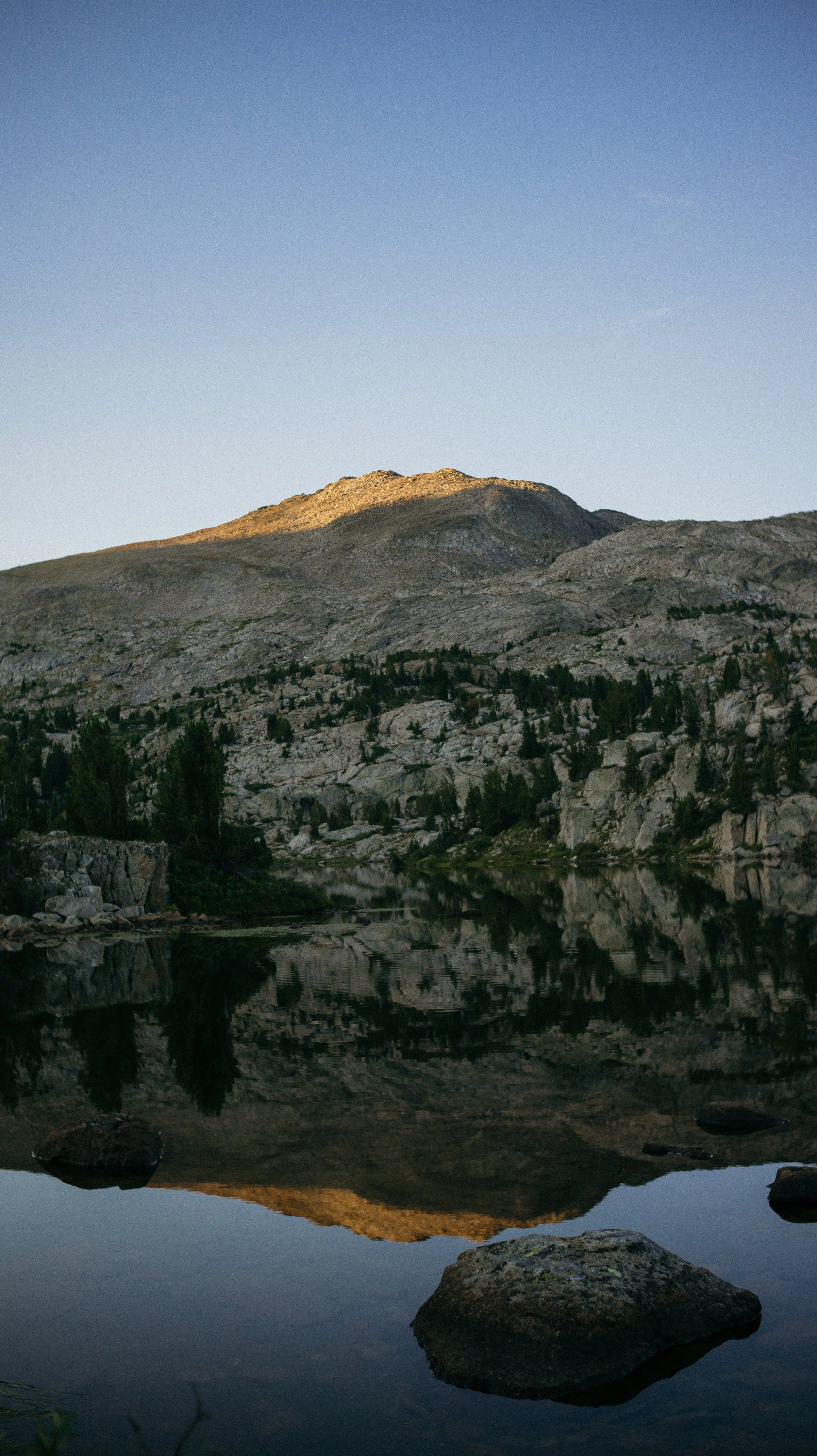
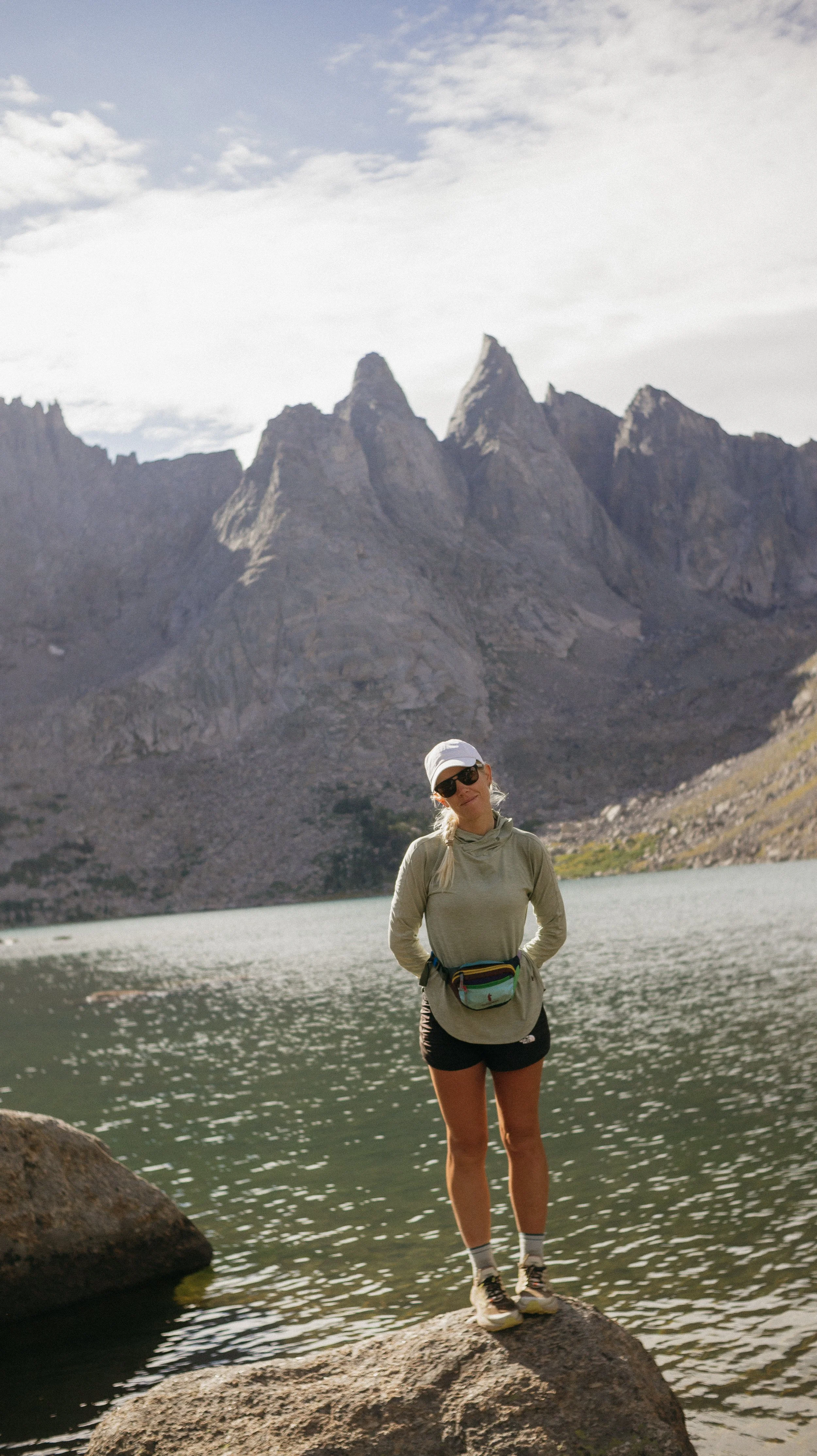
Shadow Lake
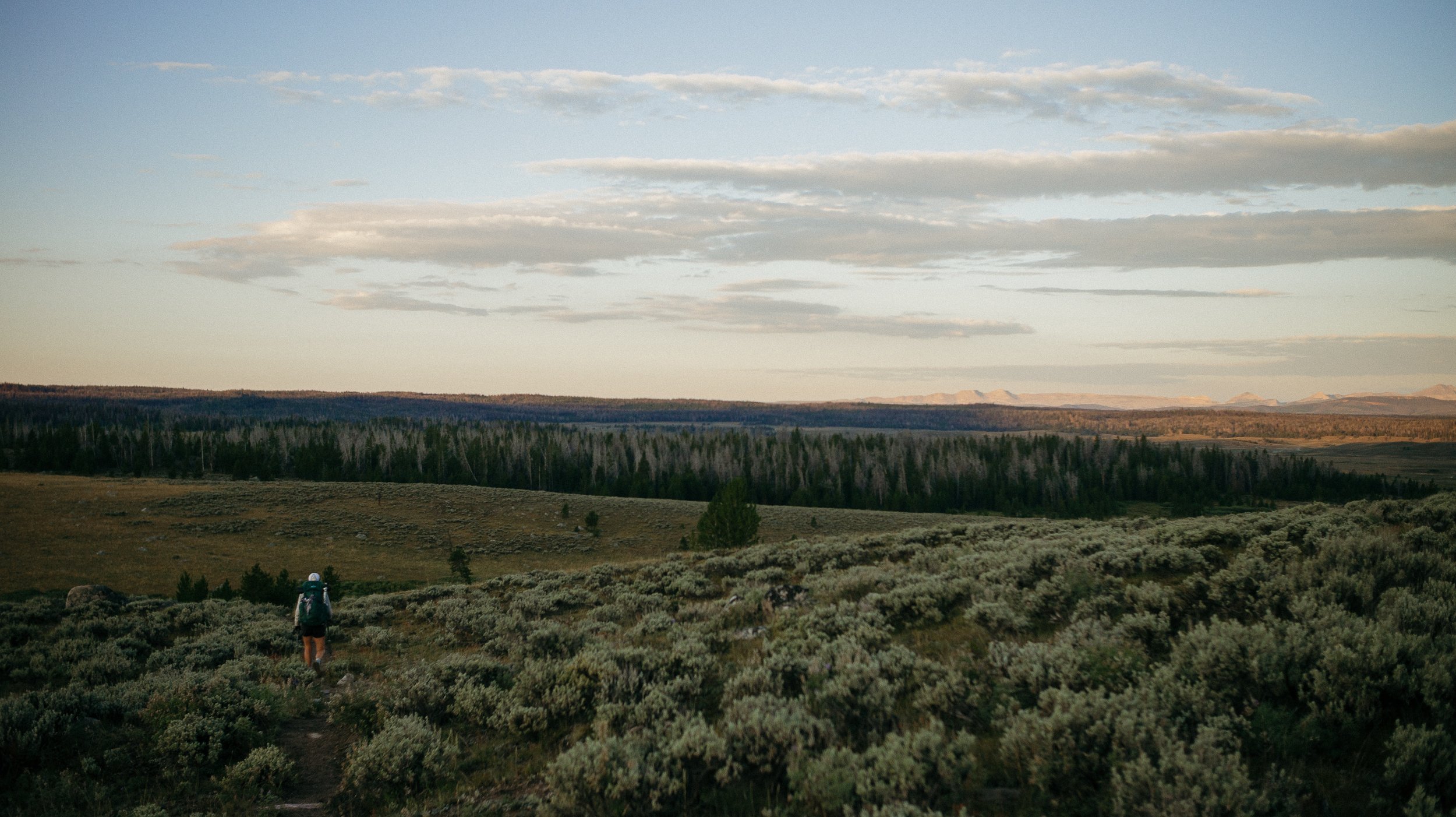
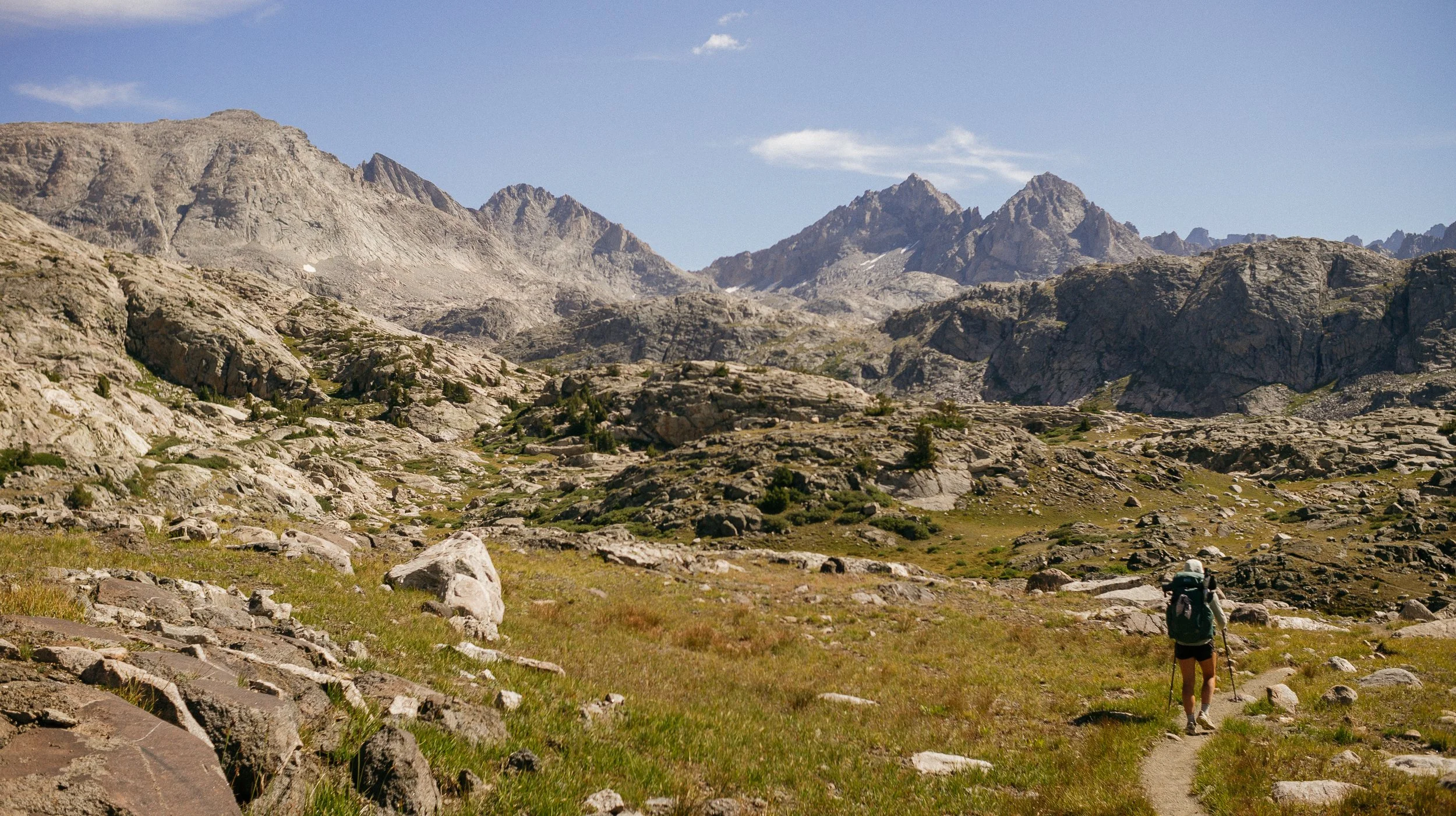
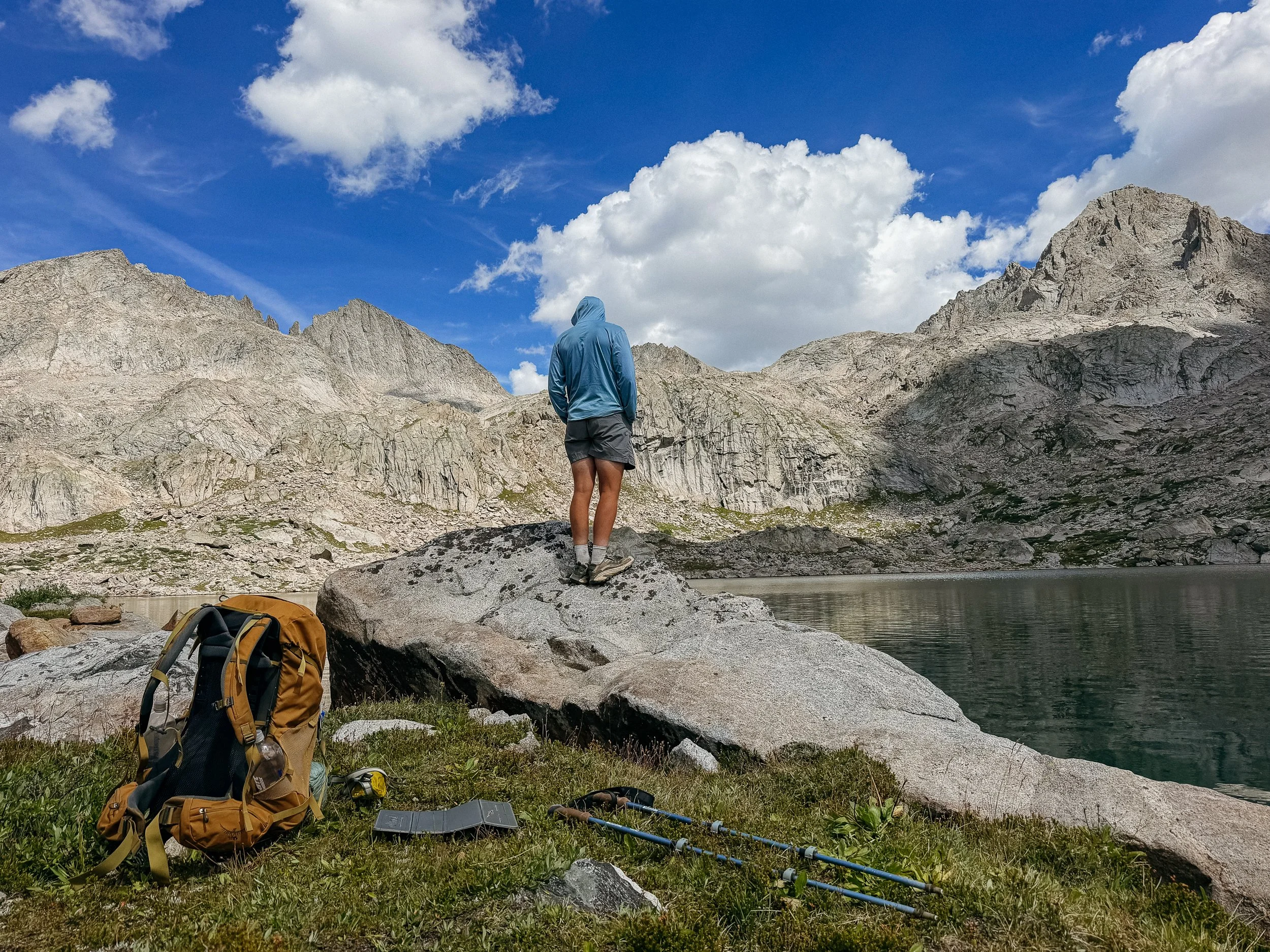
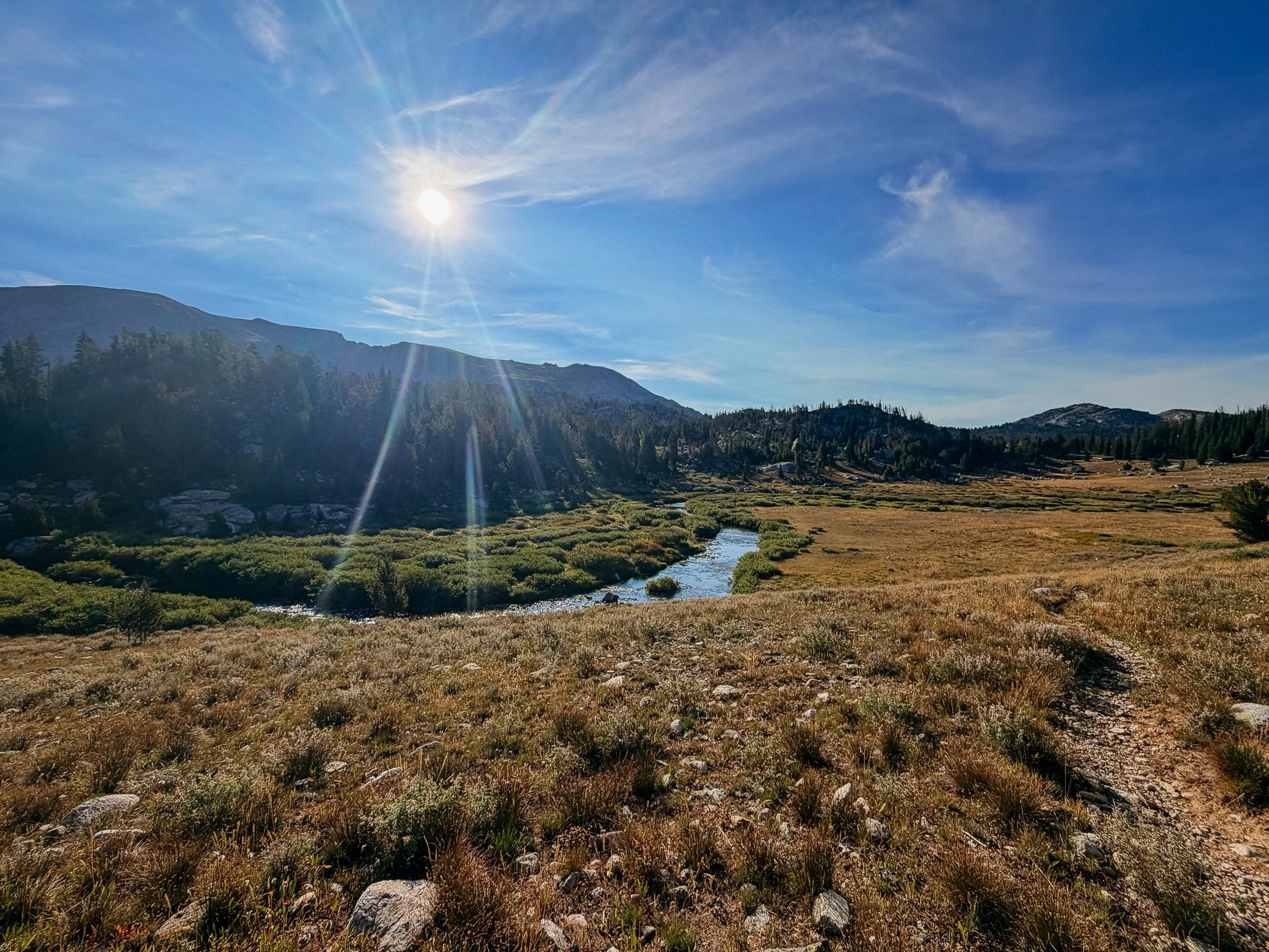
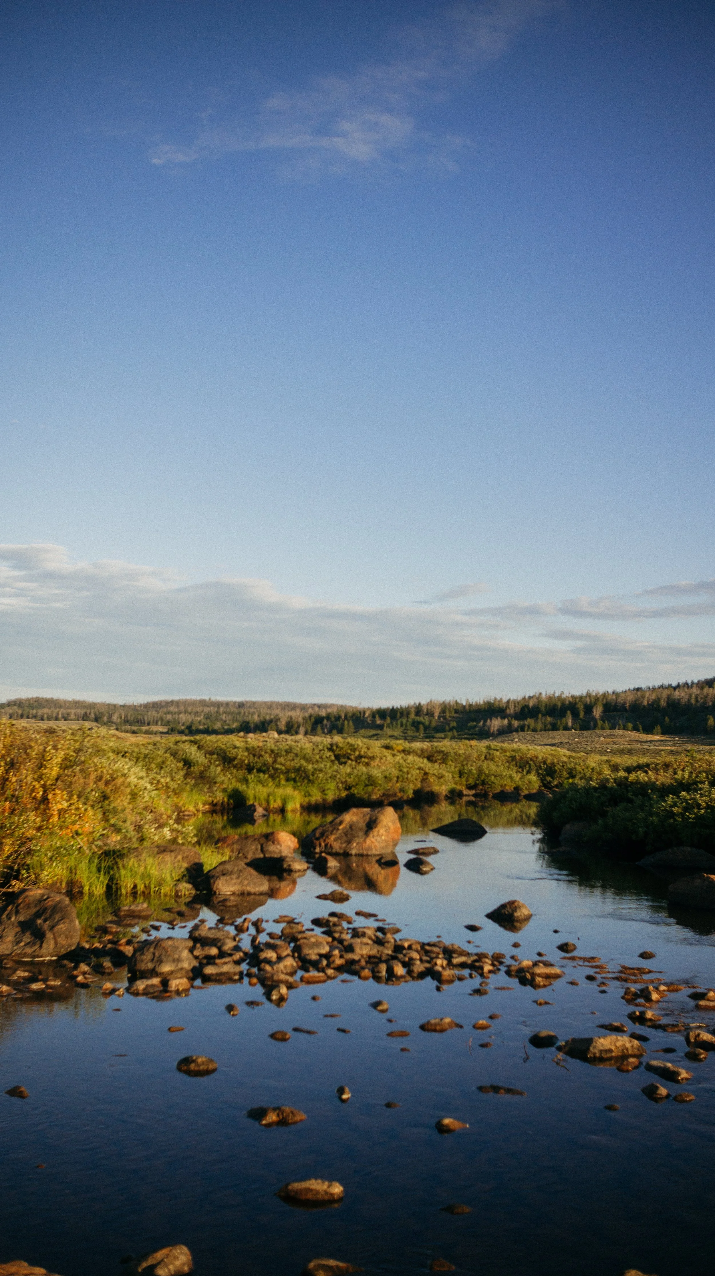
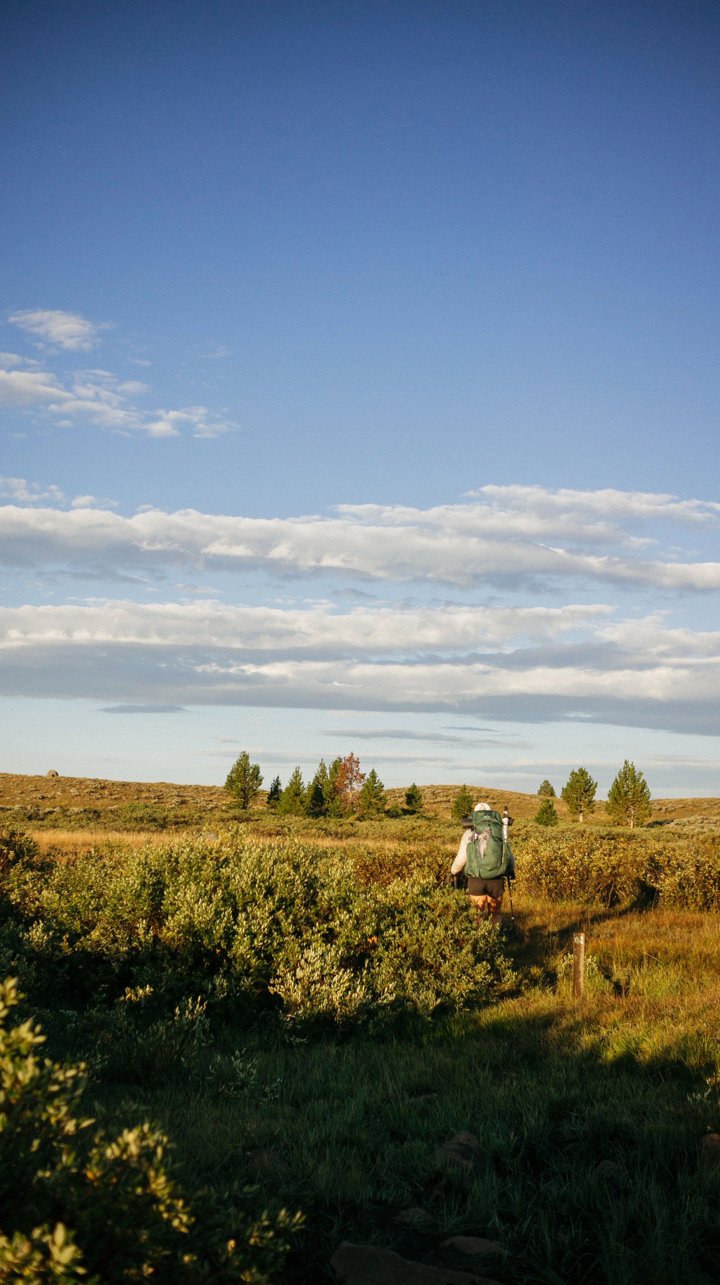
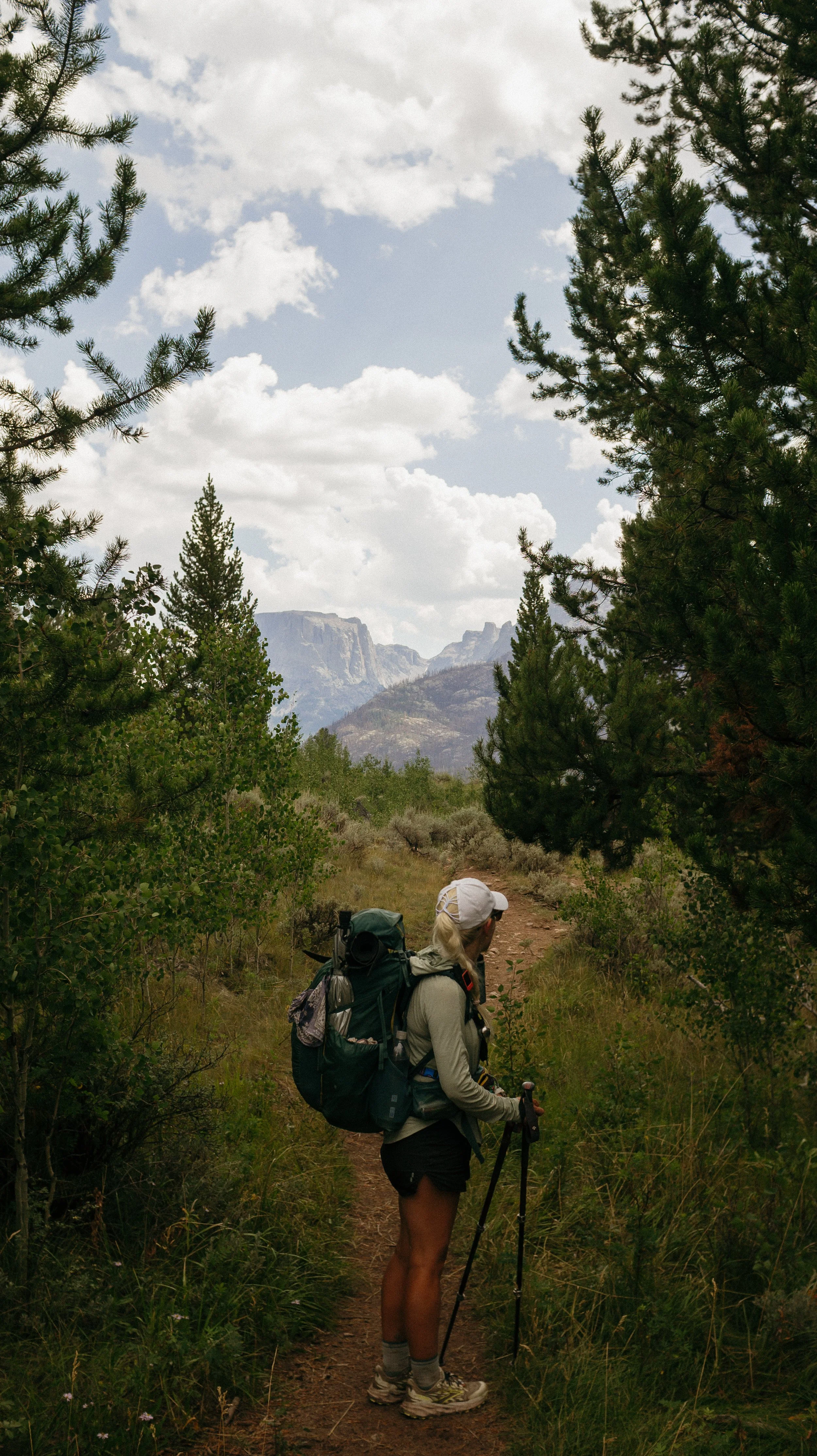
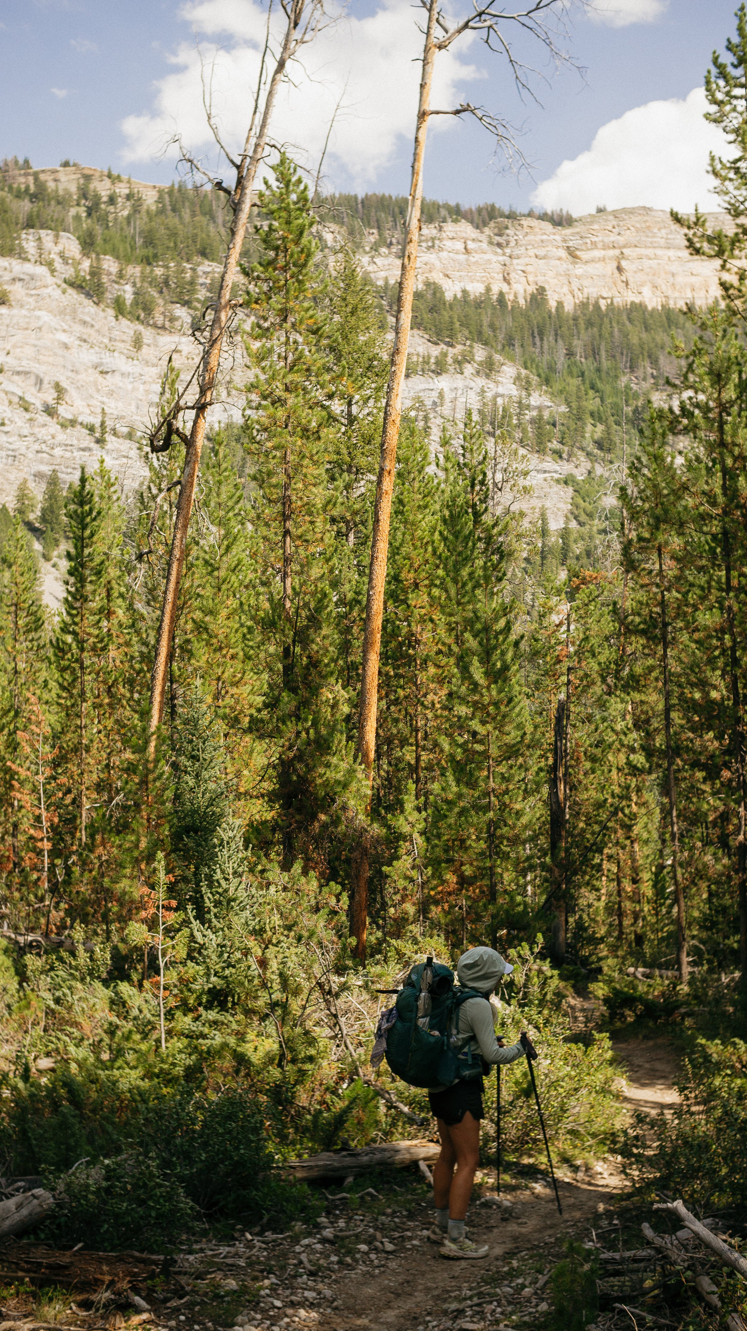
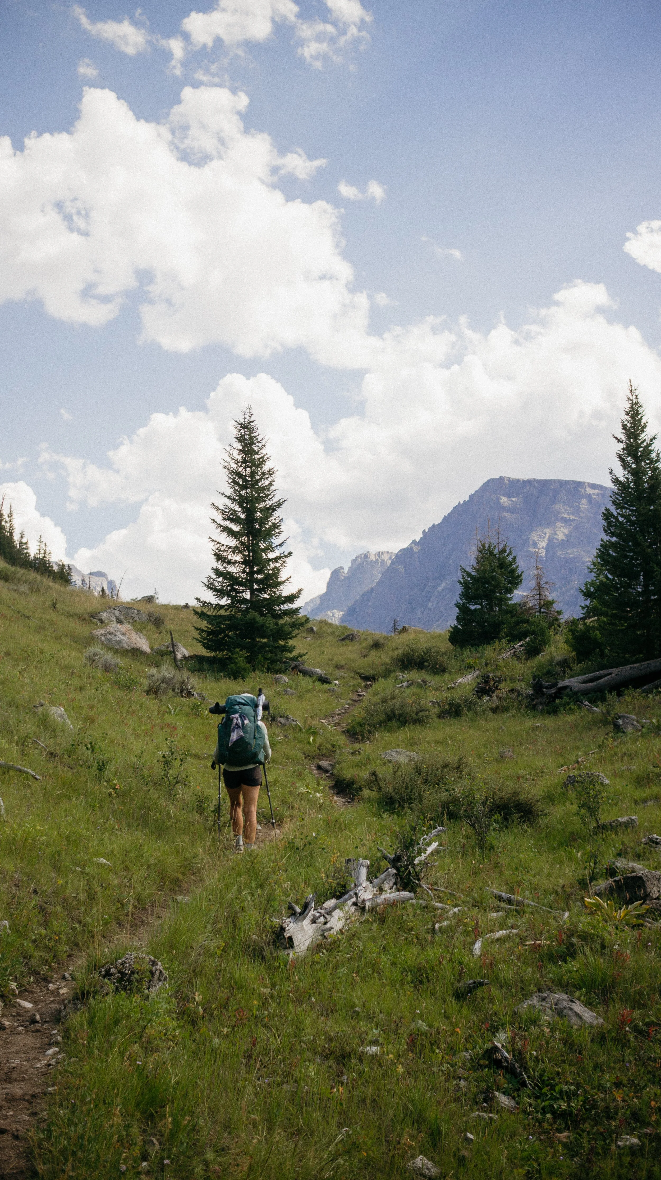
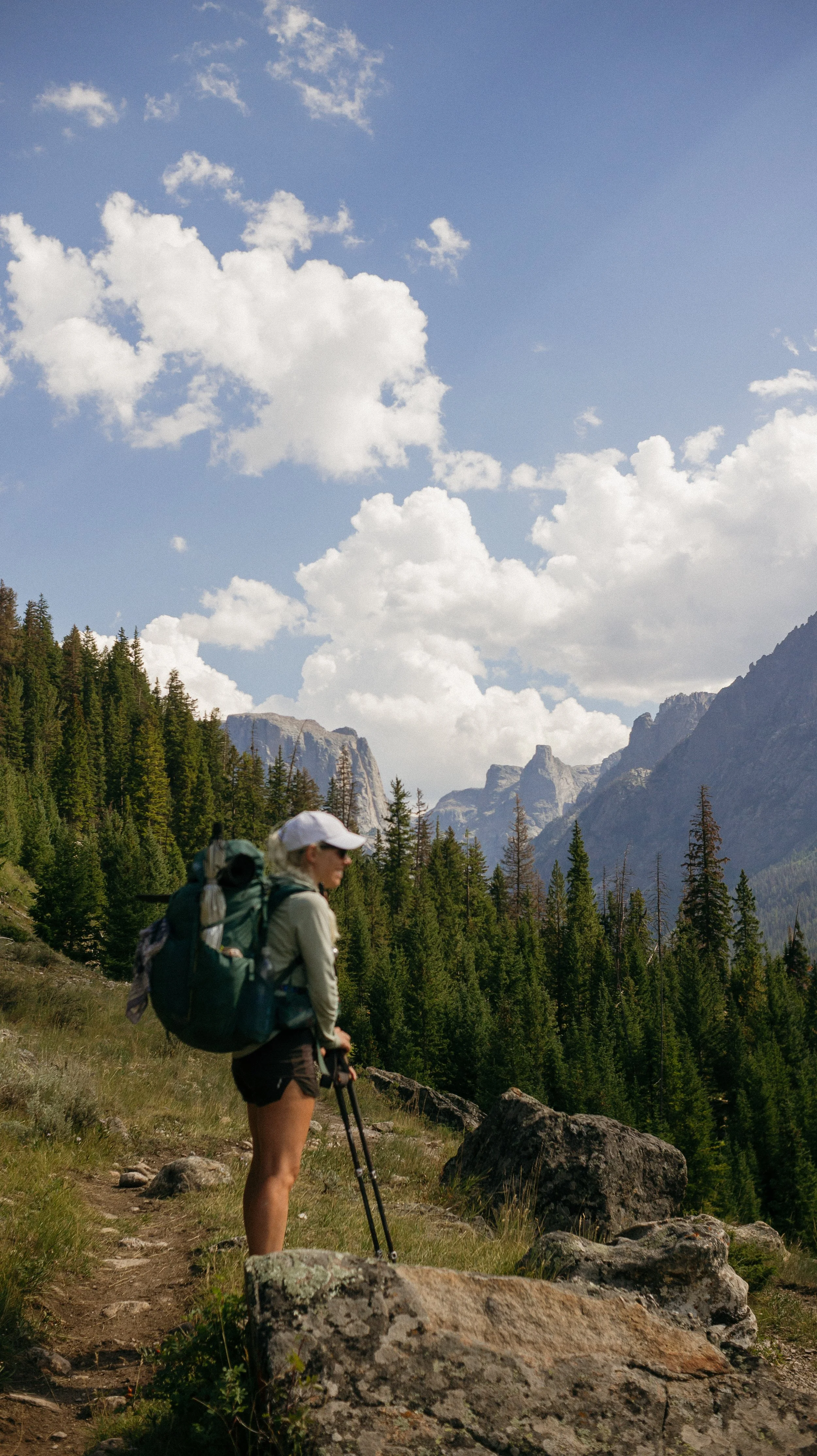
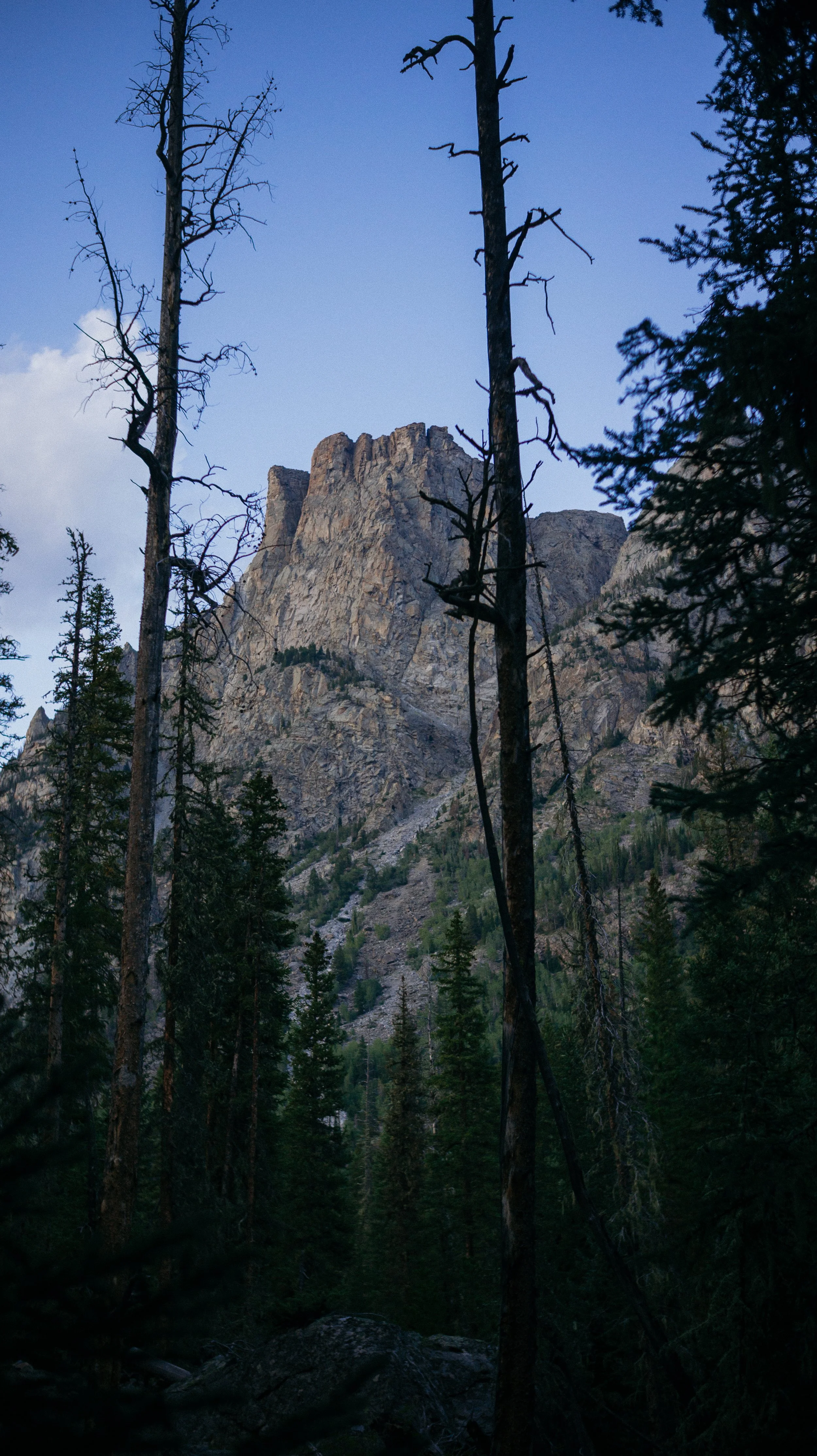
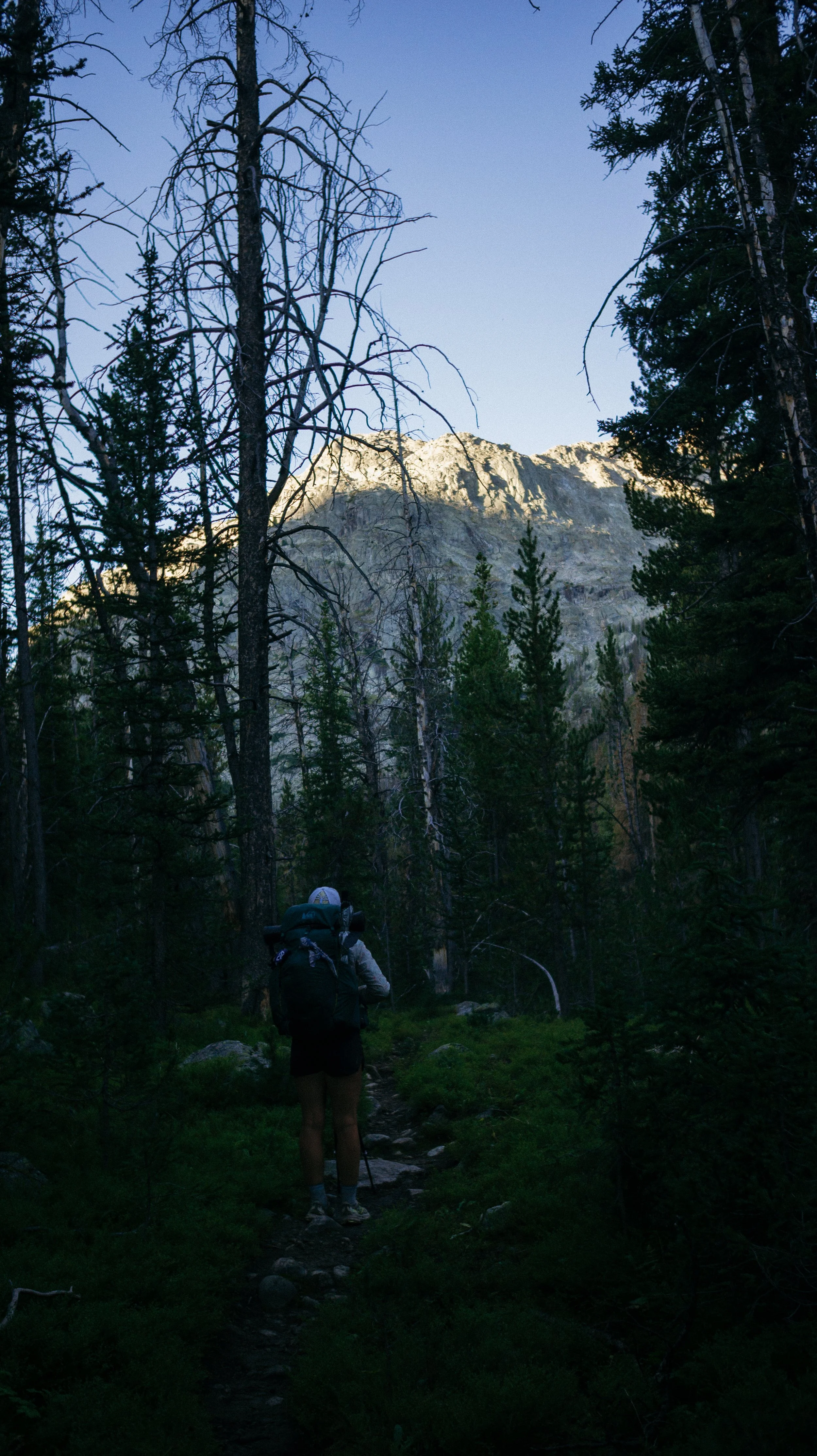
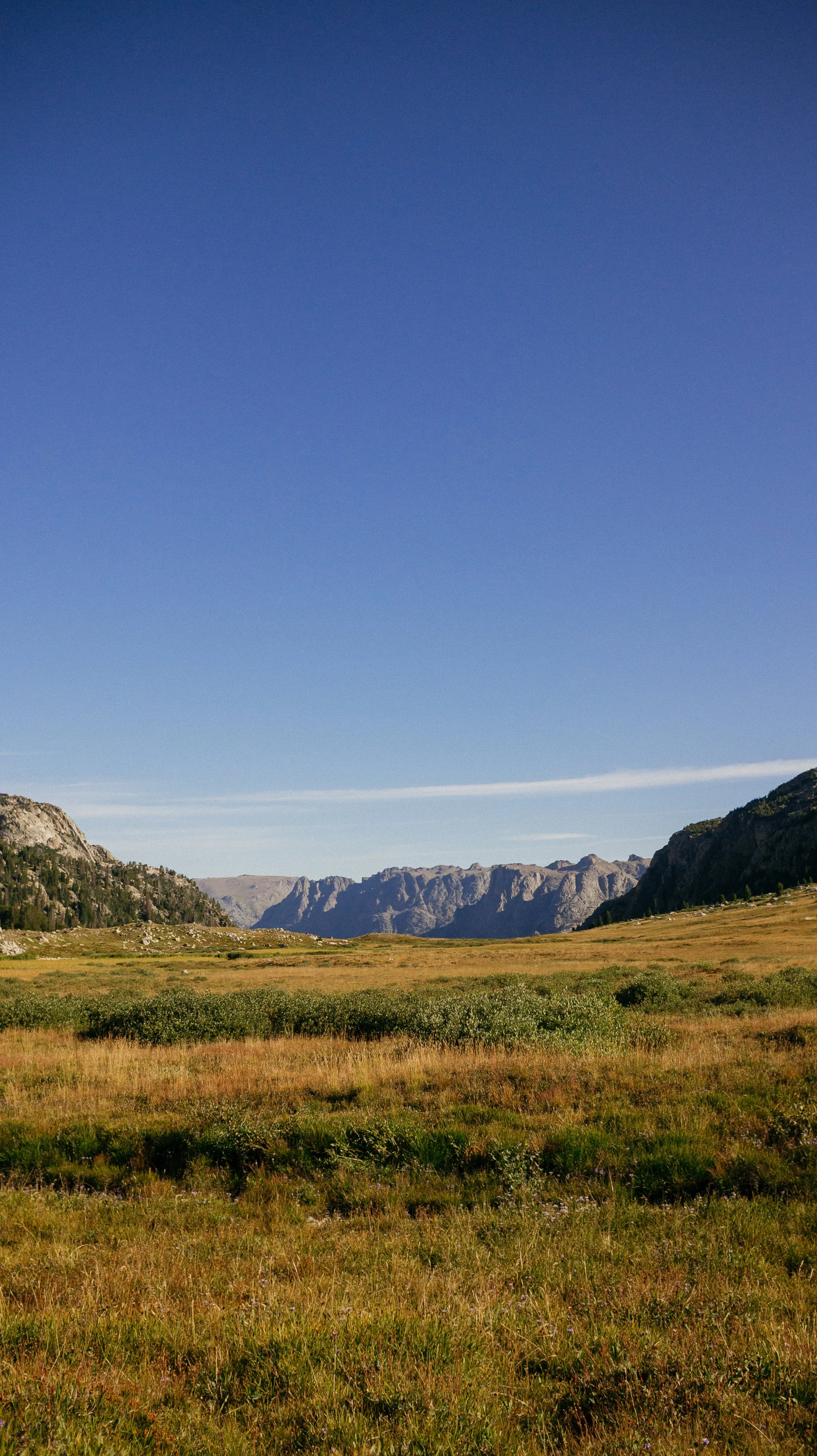
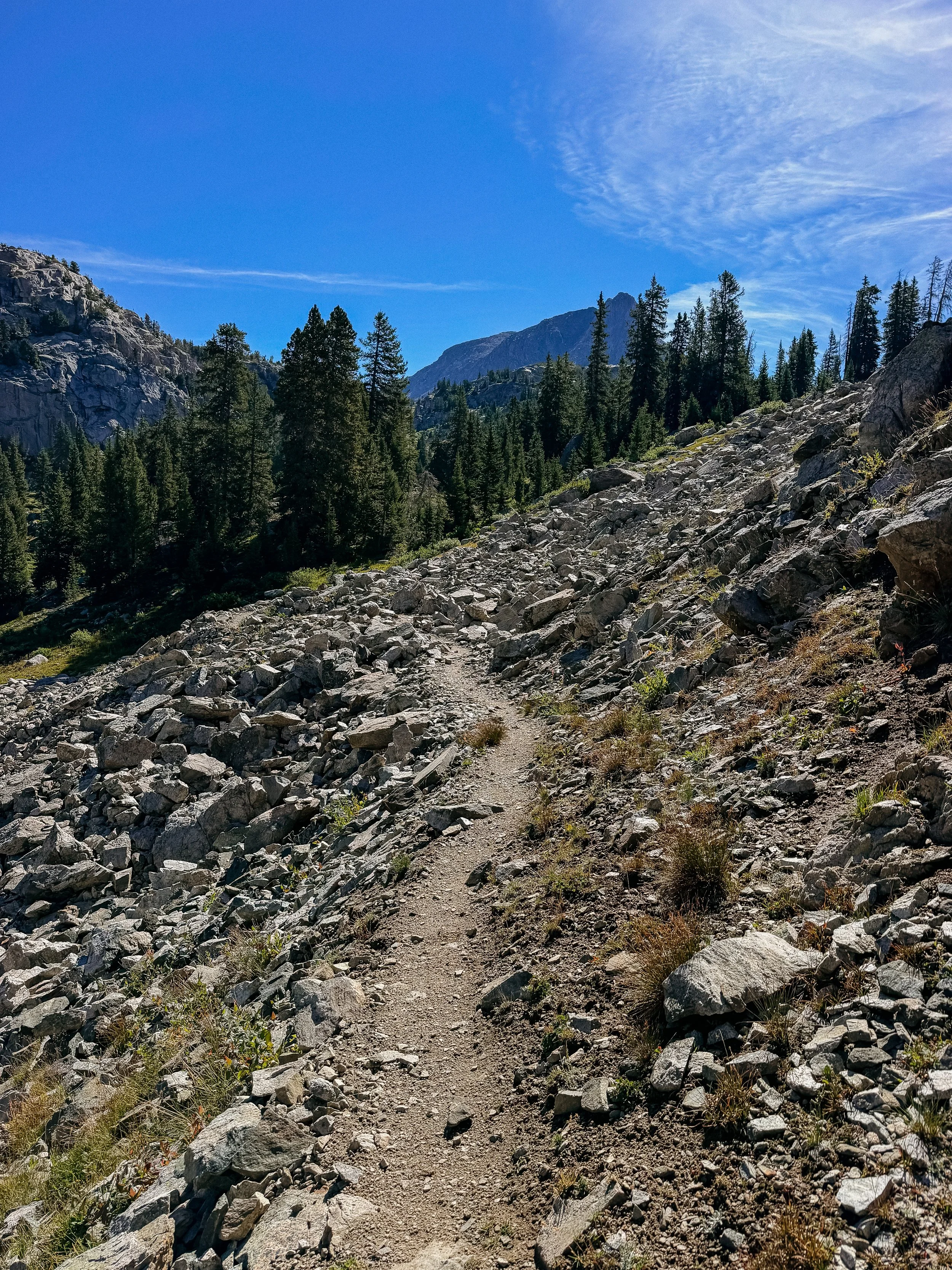
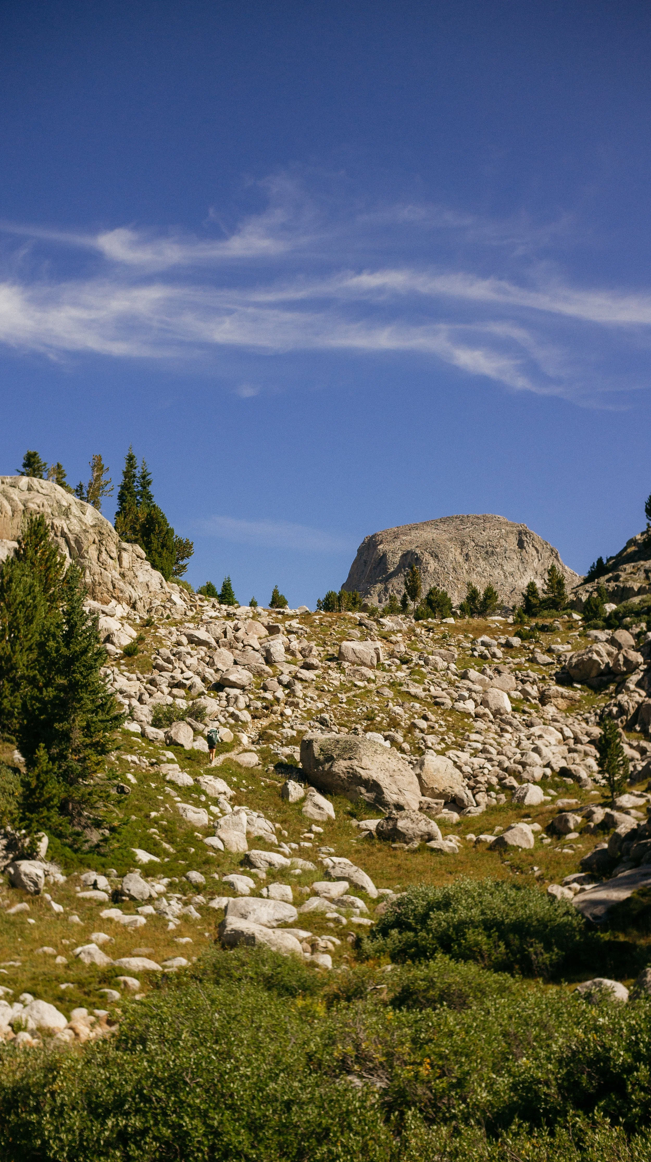
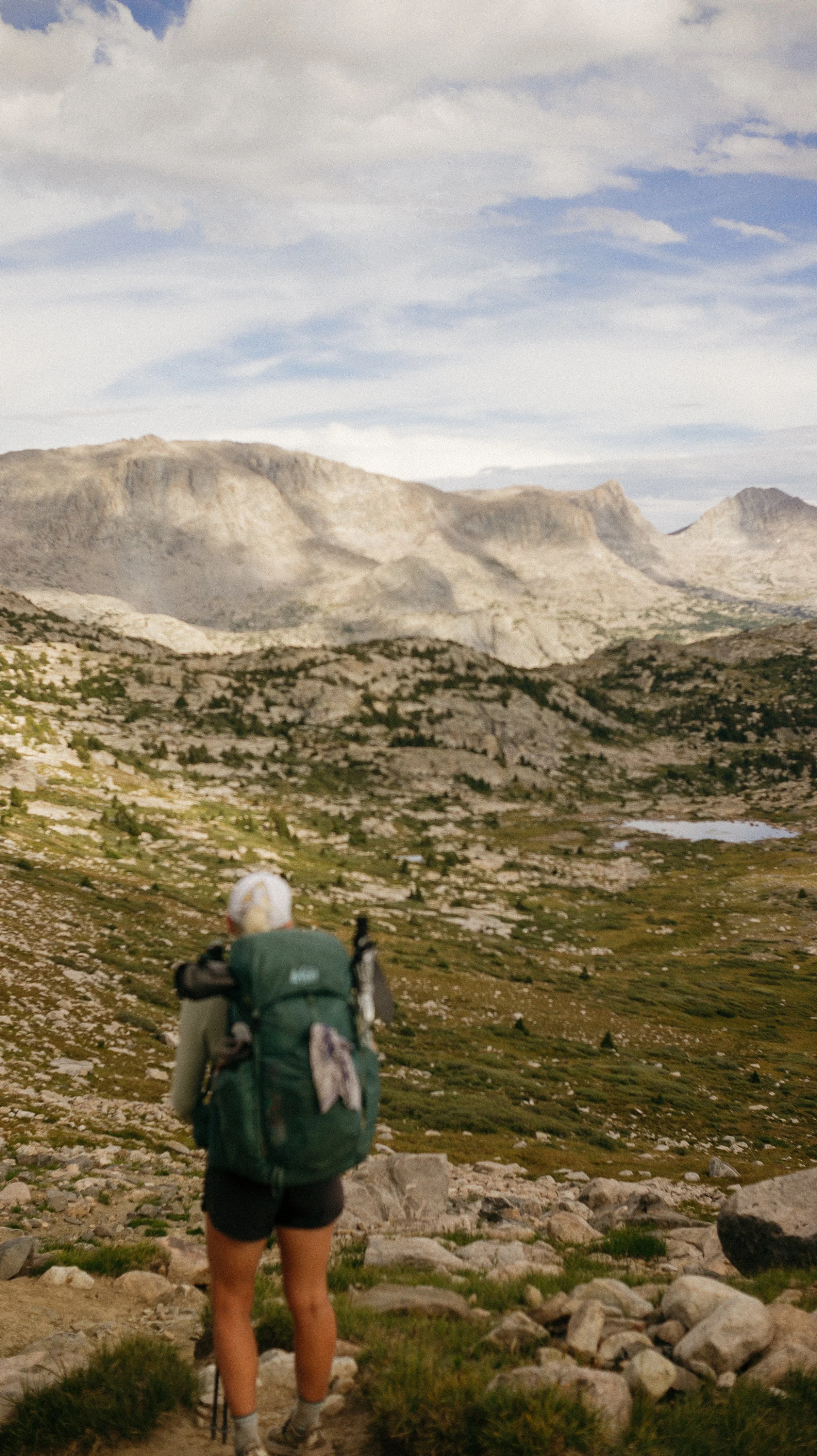
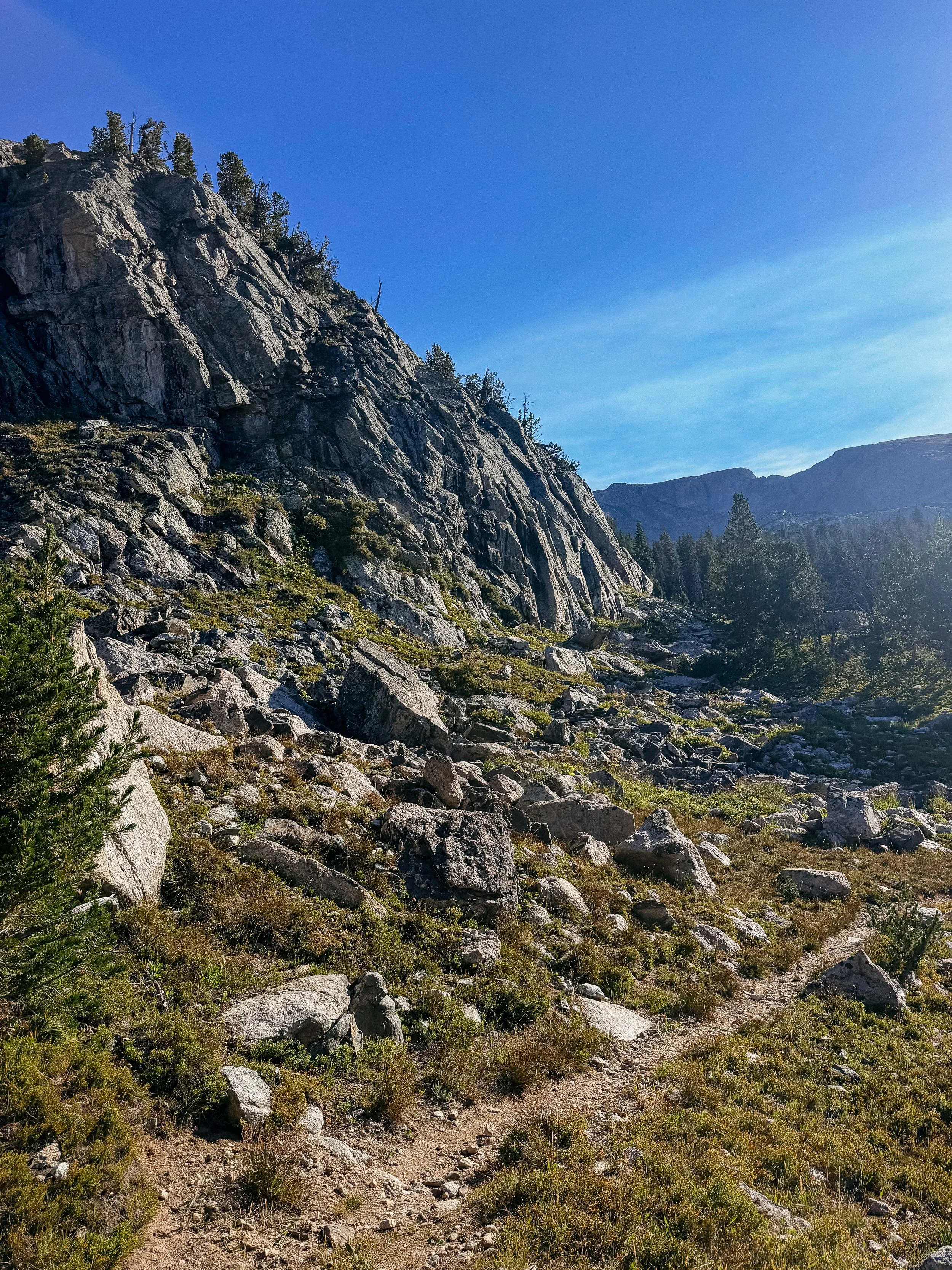
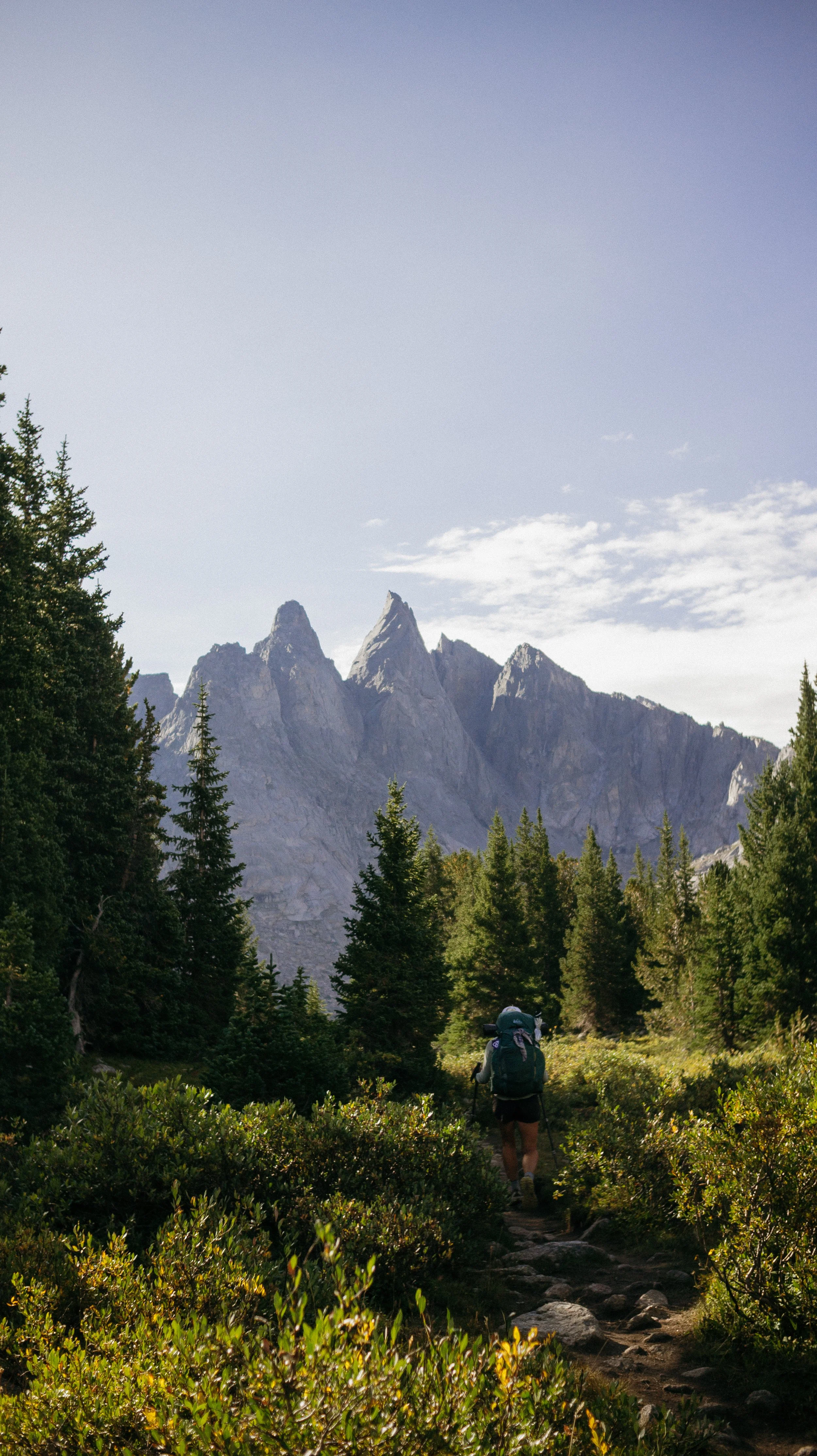
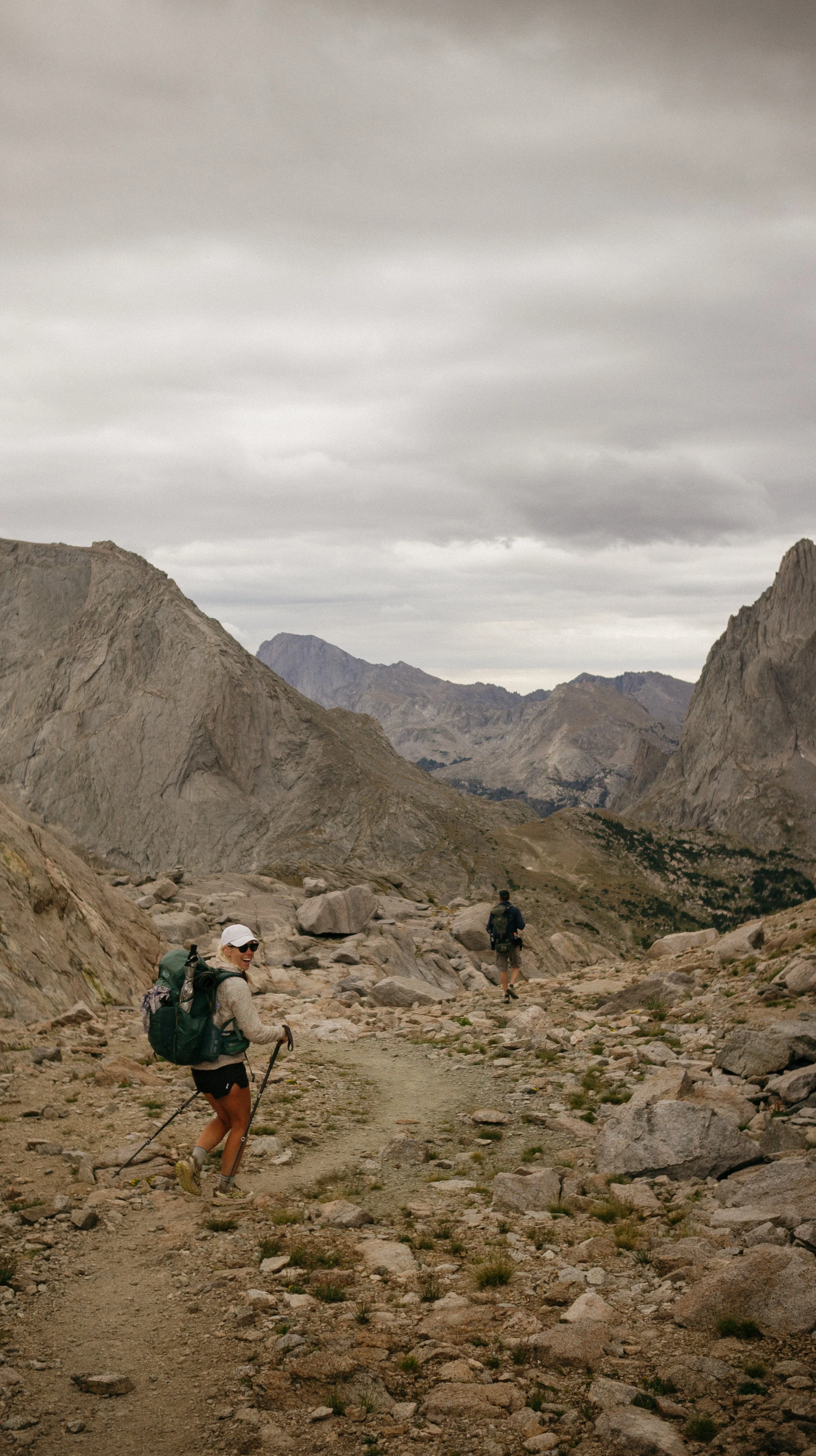
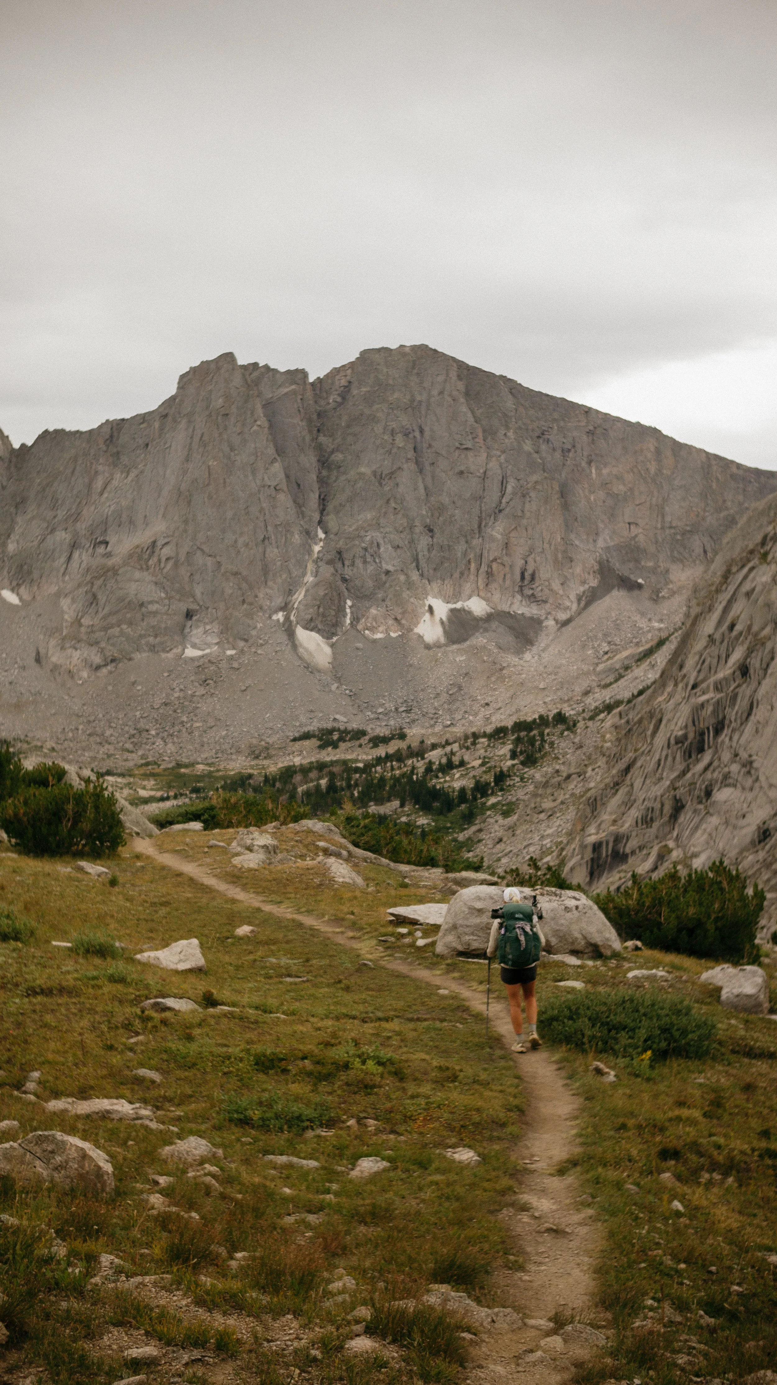
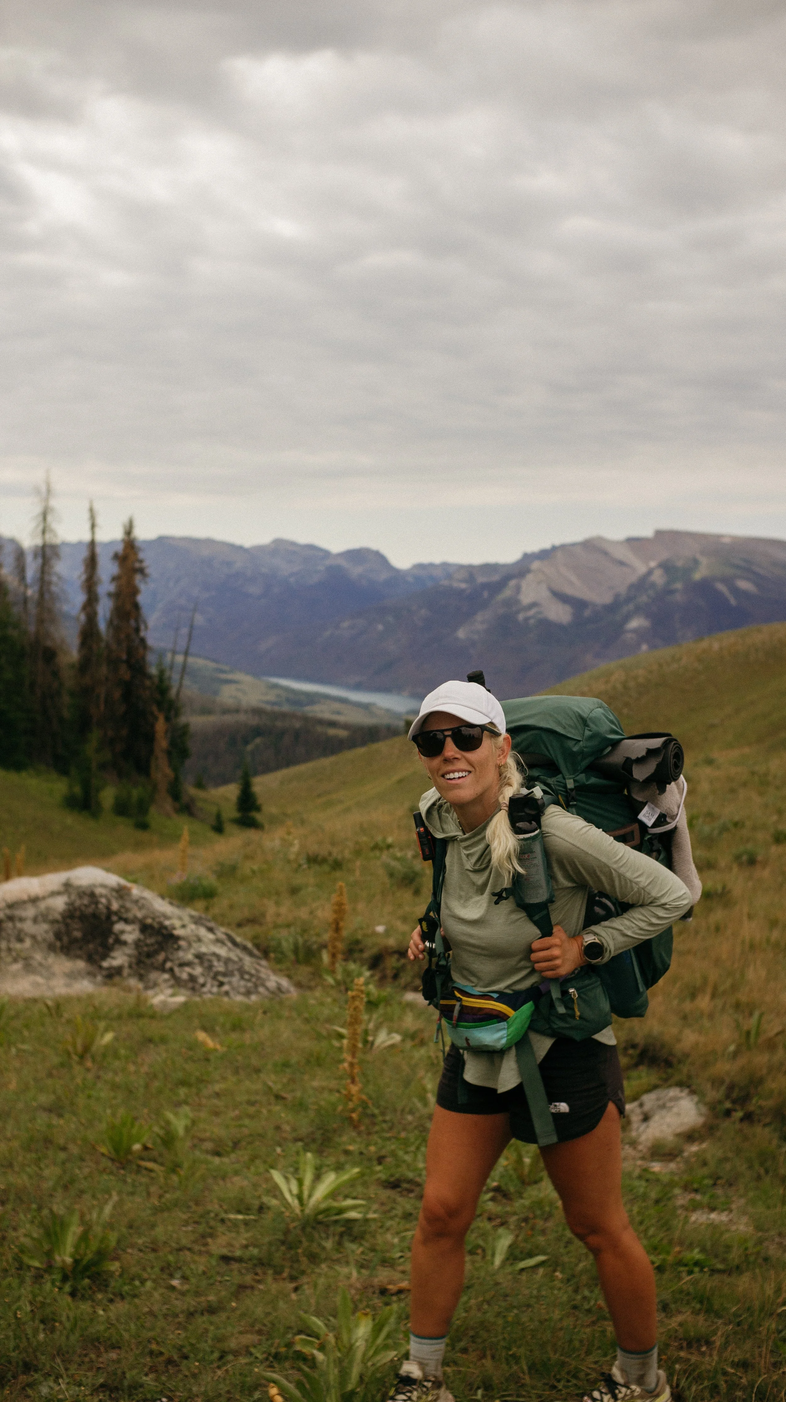
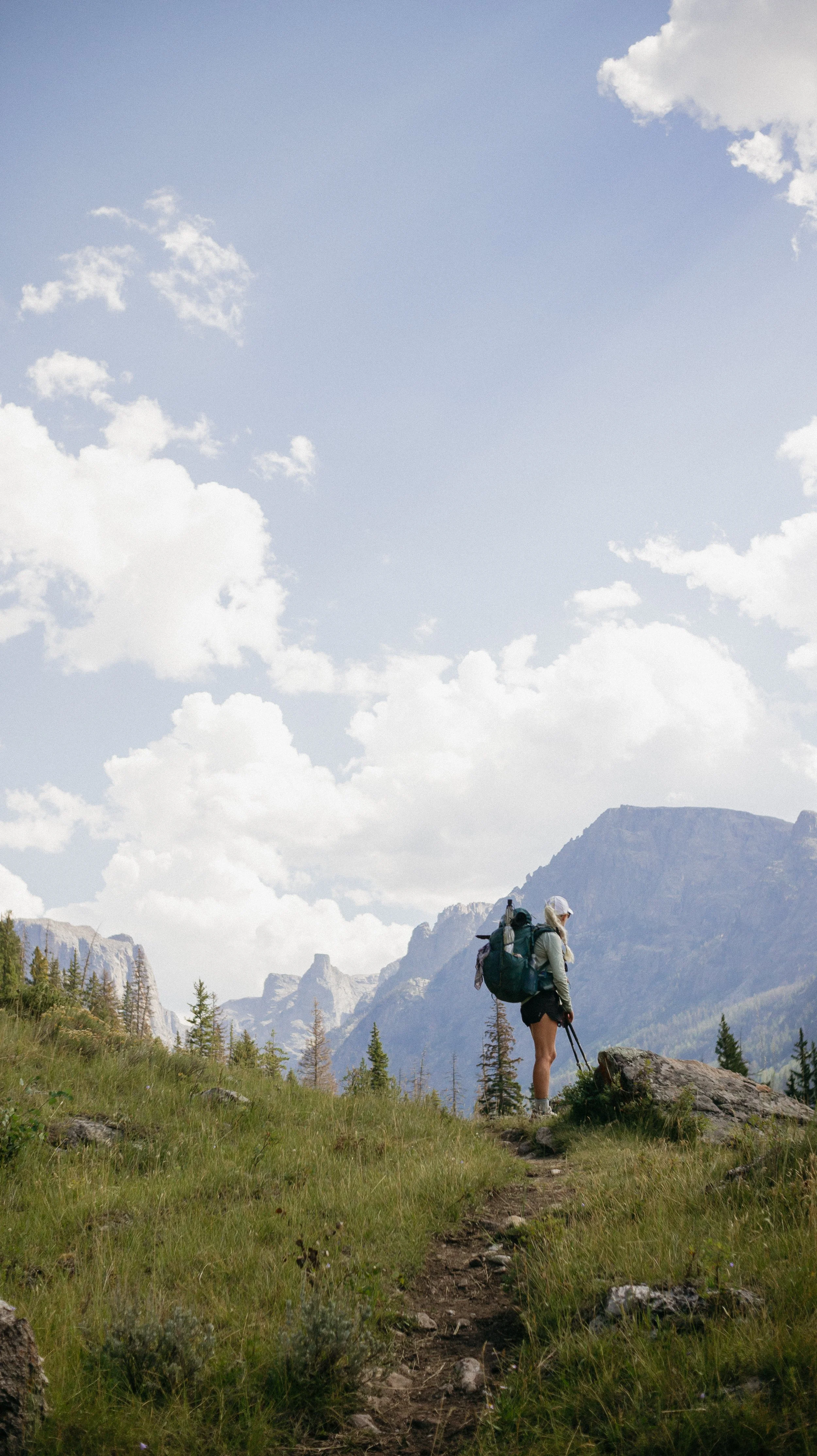
Day 59-66 took me from Dubois, Wyoming - Lander, Wyoming. This section was one of my favorites of the entire trail thus far. The Wind River Range was something special. With granite peaks and a seemingly infinite amount of lakes/streams - it was a mountain playground. I completed the Cirque of Towers alternate (photos from that later!) and it will be a place I come back to again. I’ve never been more thankful for my body’s ability to do this.
OVERVIEWTOTAL DAYS8
FULL HIKING DAYS6
zeroes1
neroes1
TOTAL ELEVATION GAIN24,422 ft
TOTAL ELEVATION LOSS23,986 ft
MILES COVERED142.8 miles
-
Cirque of the Towers was everything I hoped for.
Being surprised by how beautiful the Wind River Range was.
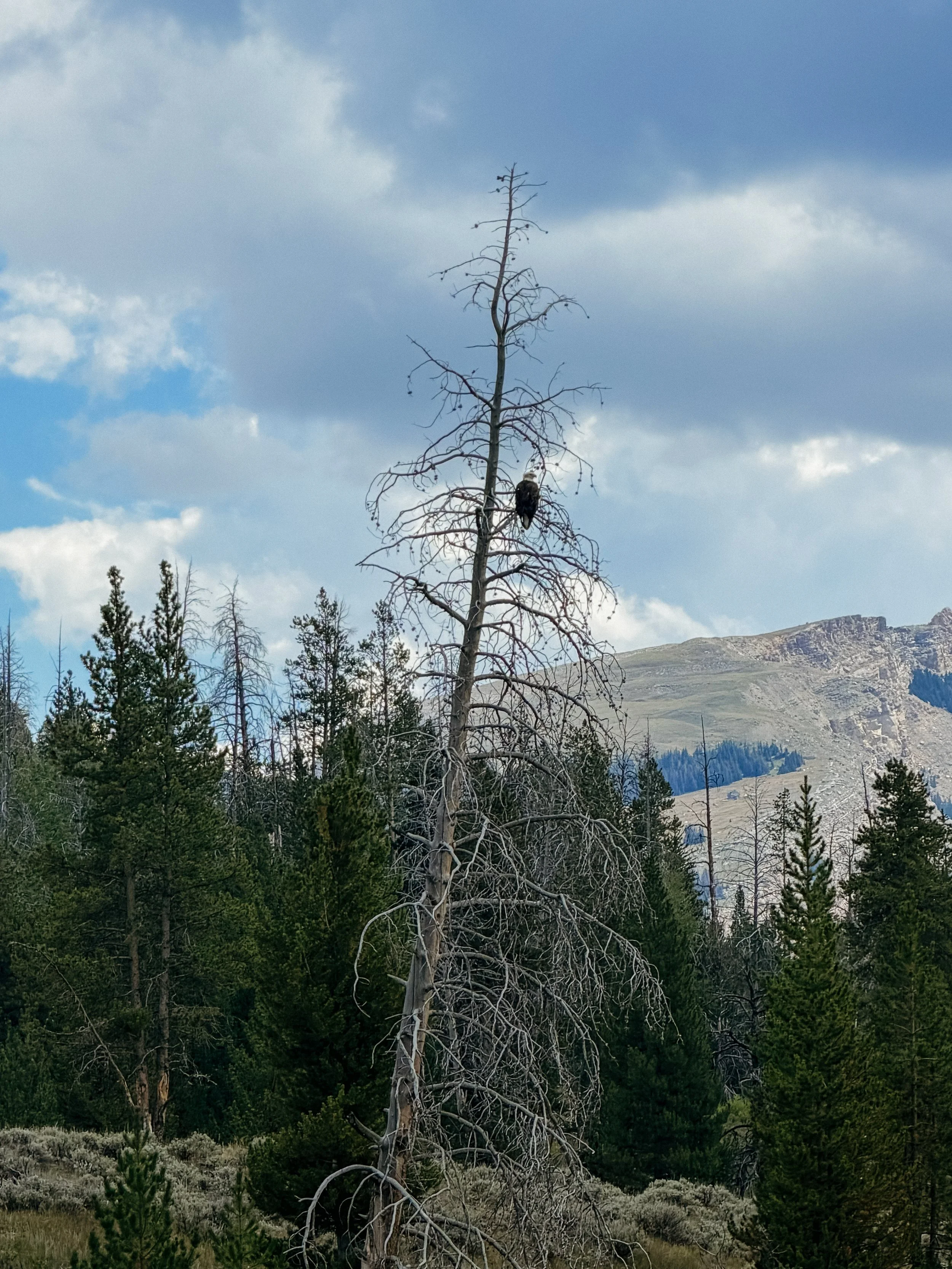
The animal sightings!
Trail Angels!!!
-
Difficult hiking - so steep.
Scary Mountain Lion encounter at night!
Body was very tired at elevation.
Rain the last day was brutal.
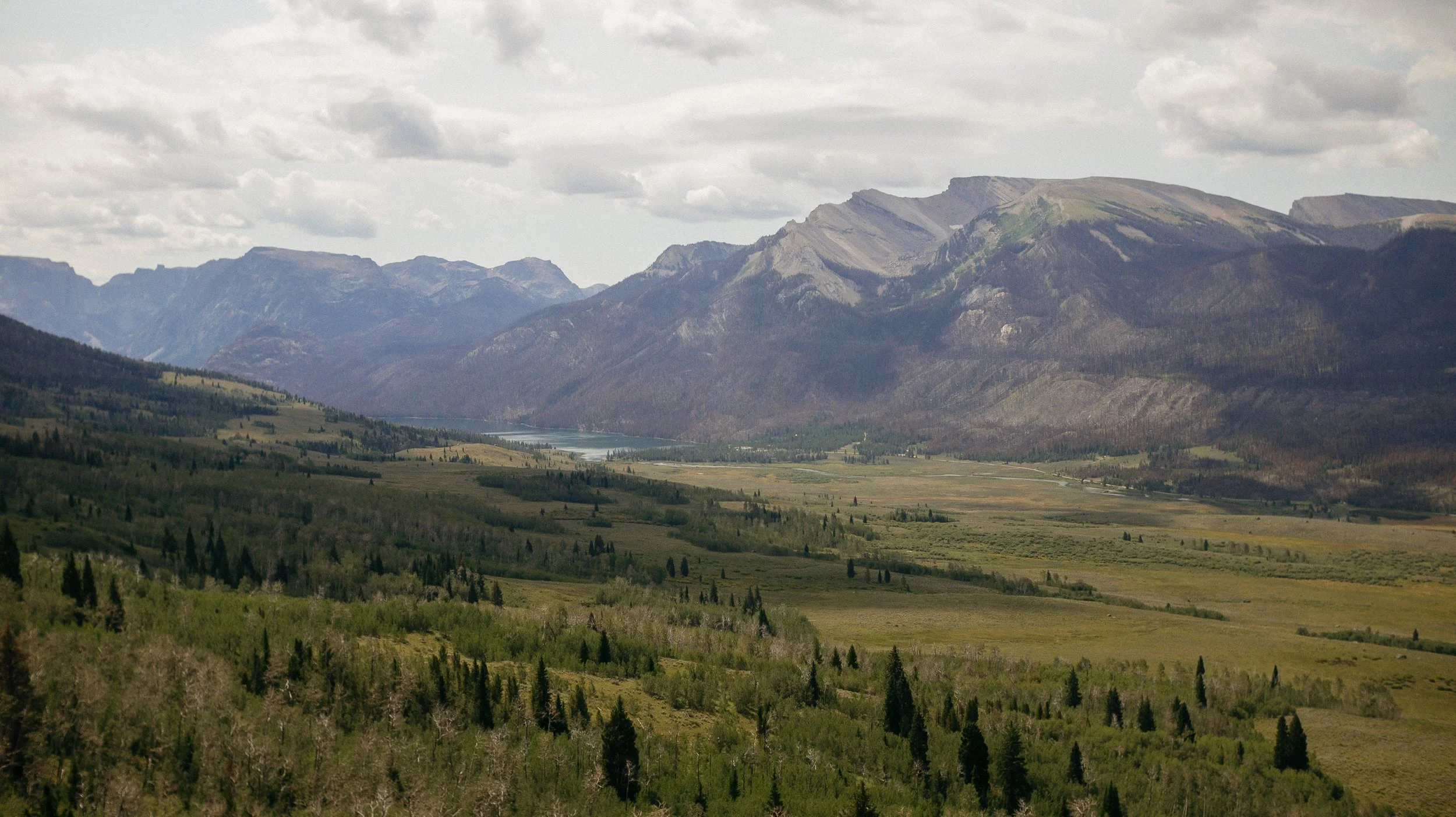
Beautiful landscape
In Depth
-
SLEEP: Old CDT alternate
MILES: 5
ELEVATION GAIN: 688 ft
ELEVATION LOSS: 482 ft
WEATHER: Thunderstorm
OVERVIEW: Trail Angels are the best!
I could not be motivated to leave town. I knew this last grizzly bear section was going to be a tough one solely because of how long it was. George and I opted to go straight through rather than stop in Pinedale which meant I had over 7 days of food. My pack was miserable to hold.
I had breakfast at the Cowboy Cafe and then headed to the popular bowling alley. While we spent time there waiting out some storms and chatting with folks, I was not rushed to get back out.
Finally, knowing we had a bit to hike for the day, we began to hitch and had more trail angels just appear. Bill and Symantha were Saints driving us up as far as possible which really cut our day down. So many fun stories were shared and I’m appreciative of kind people.
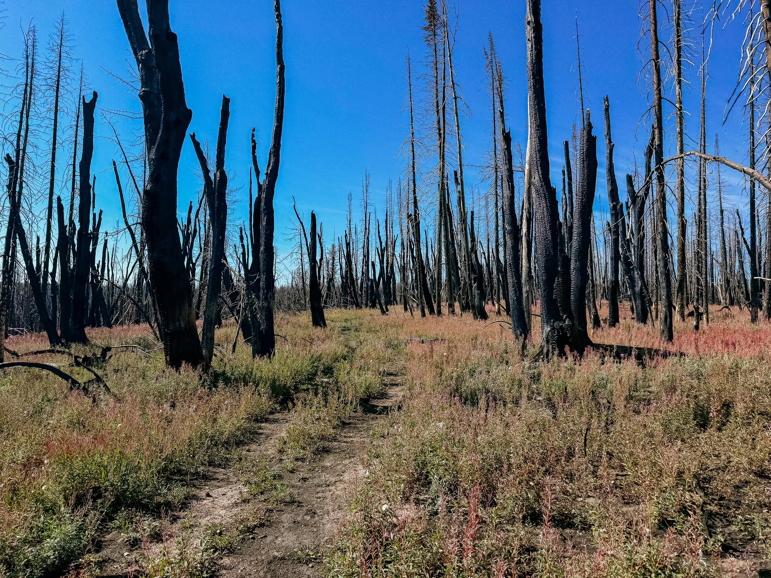
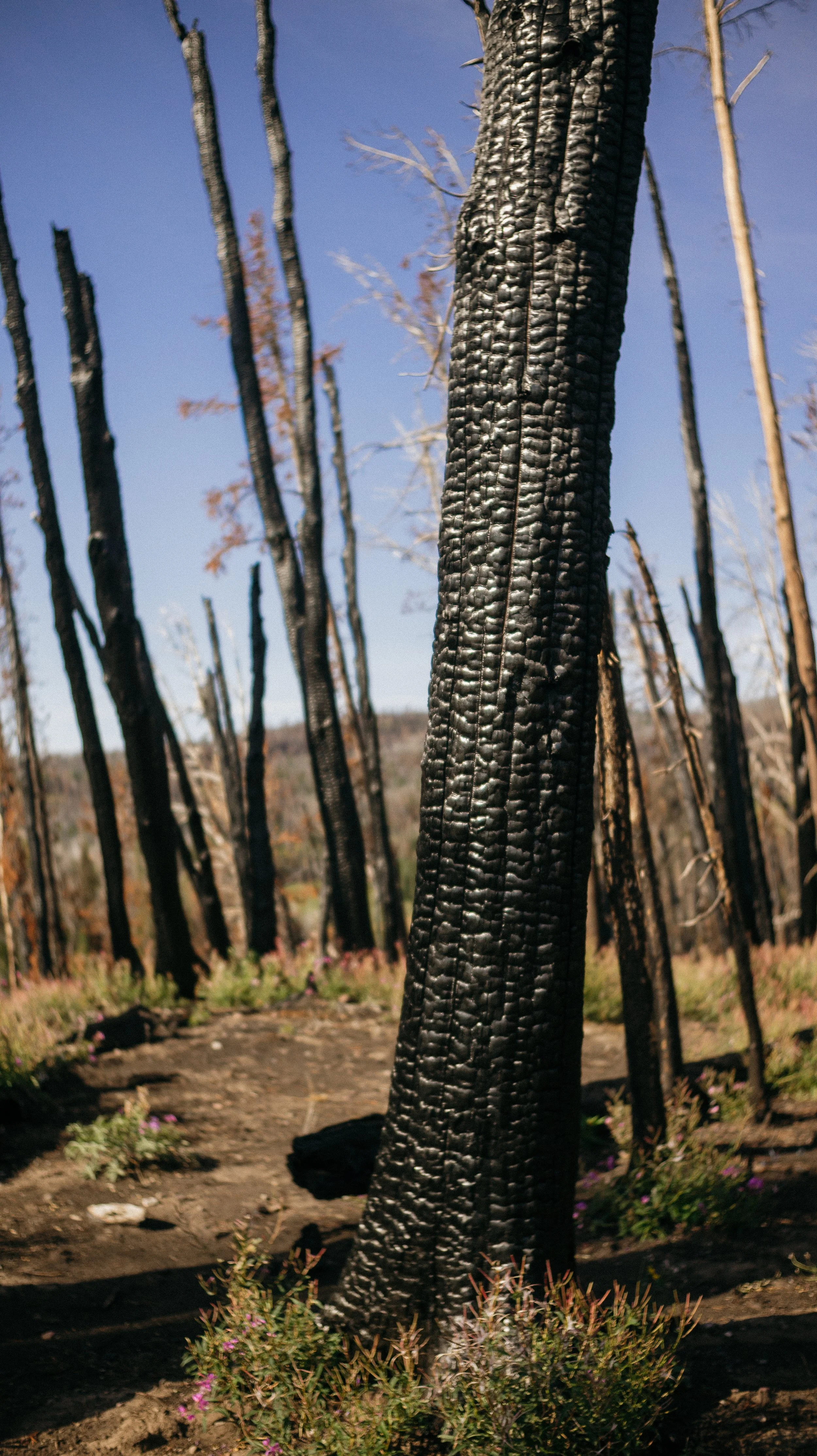
Now with around five miles to go, we set off. It was mostly forest roads that lead to trail winding through a burn zone. I found a decent spot to set up that was far enough away from potential falling trees. Just in time too because it began to pour rain. More scary thunderstorms within this never ending monsoon season.
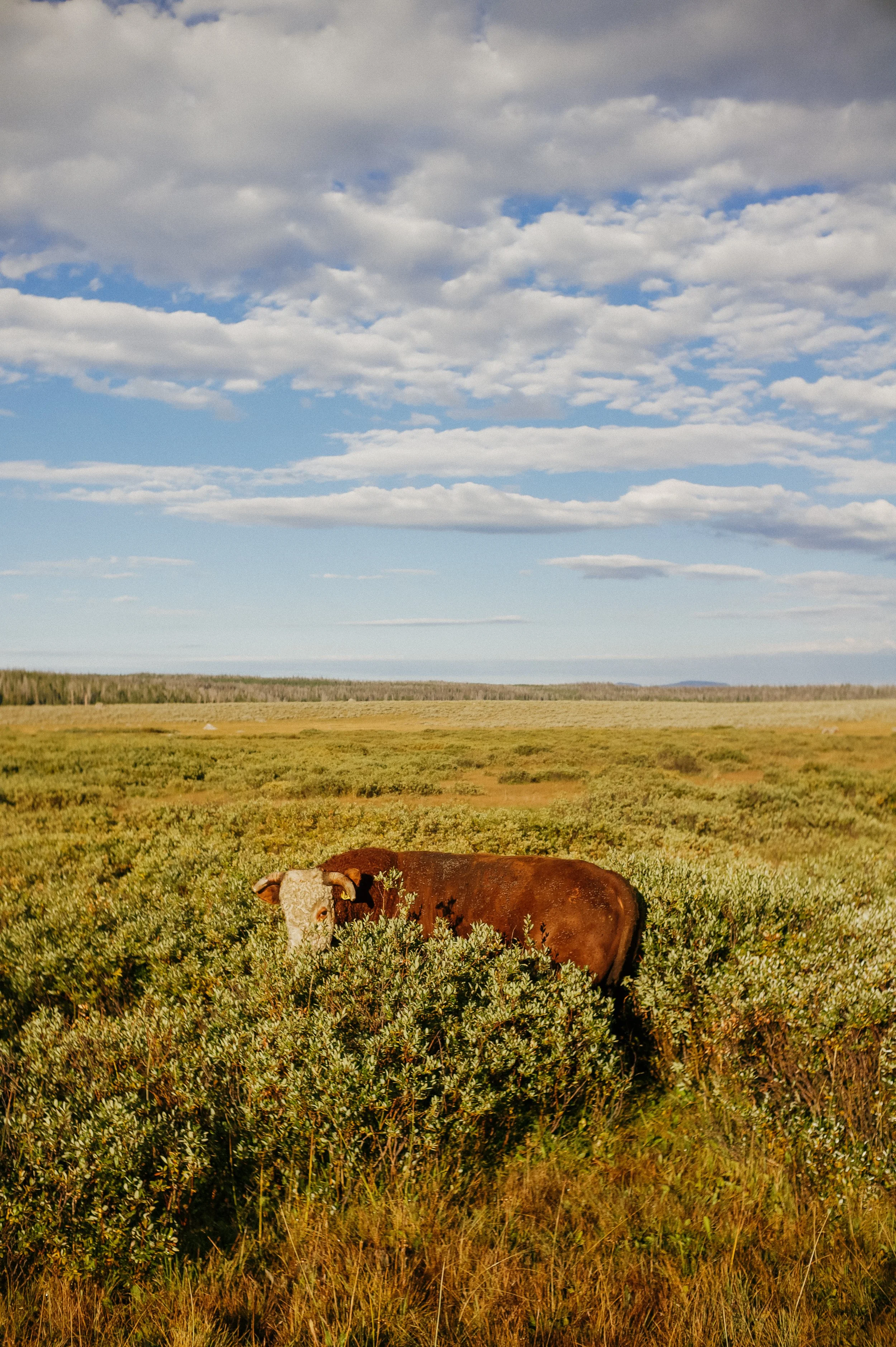
This was a heavy cow area which proved itself correct because I had a whole herd of cows around me all night. It was comforting though as I would imagine that cows wouldn’t hang out in heavily grizzly bear laden areas.
-
SLEEP: Camp at Mile 1150.1
MILES: 23.1
ELEVATION GAIN: 3661 ft
ELEVATION LOSS: 2959 ft
WEATHER: Sun, Thunderstorms
OVERVIEW: Do not love Mountain Lion screams
The cow herd did in fact stay around my tent all night long. They greeted me in the morning with a cacophony of mooing as I exited my tent. I also could hear faint elk bugle in the distance. The Trail Angel from the day prior had warned us there were many elk in the region and this solidified that.
The day was full of cow country, but with a ton of wildlife. At one point, an elk herd of at least 30 crossed in front of our path. Huge male elks with fully developed antlers, cows,and babies of all ages and sizes. I also saw some of my first pronghorn herds. As they are the second fastest land mammal but the one with the most endurance it was absolutely fantastic to see them running through very difficult terrain.
Reminiscent of the Yellowstone, marshes and bogs were present through large pasture/field walks but the trail was literally a bog. As this was a relatively dry area before I got into the main part of the river range, this was shocking. This eventually would come as no surprise as the monsoon season continued, and the late afternoon was spent running away from thunderstorms. Luckily the big, angry clouds that were producing a lot of noise avoided giving me their deluge.
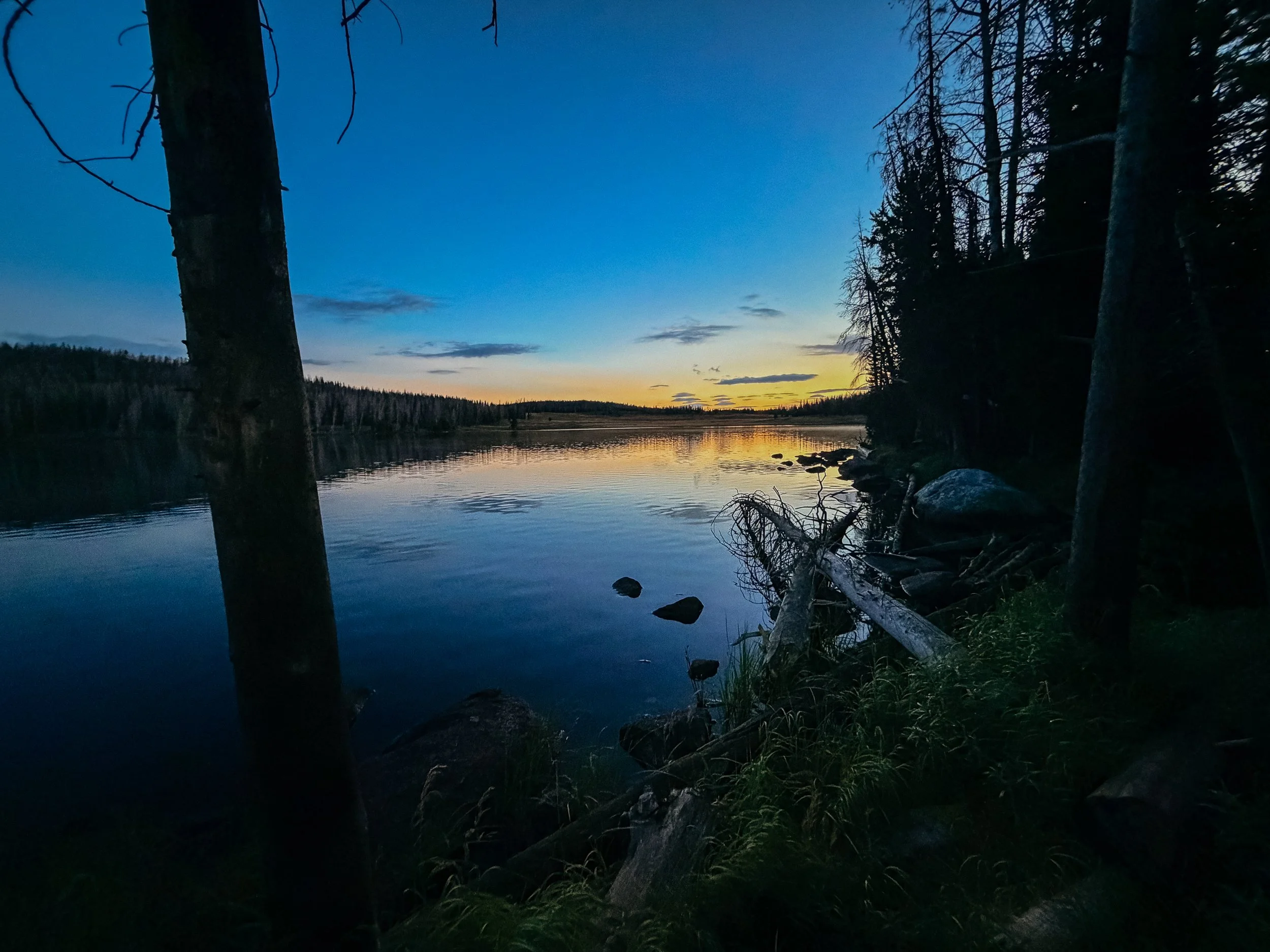
We ended up camping on the room of a lake near some questionable trees. Dead trees around a camping area are called widowmakers and it is nerve-racking to be anywhere near a dead tree. Luckily, this was near the the limit of the tree length rather than camping directly under them. This whole area was a previous burn zone, so it was hard to find any perfectly clear areas.
I got tucked in to my tent just as the thunderstorms I had seen looming came into full fruition. It poured rain for a bit, which was great to fall asleep too.
Around 10:30pm I was woken up by a very strange sound. It sounded like screaming, but definitely not human. It was close by and then a second noise and entity chimed in. It turns out this was a mountain lion perhaps a mother and baby. It took me a while to go back to sleep…
-
SLEEP: Camp at Mile 1179.1
MILES: 28.9
ELEVATION GAIN: 3327 ft
ELEVATION LOSS: 4180 ft
WEATHER: Sun
OVERVIEW: What a view!
This was planned to be the biggest day of the section, so George and I set off very early. I waited until there was at least first light after the mountain lion scream from the night prior, I was not particularly excited about hiking in the dark. Also, this was a prime grizzly bear section, so I also didn’t want to stumble in to a grizzly bear as the sun was rising.
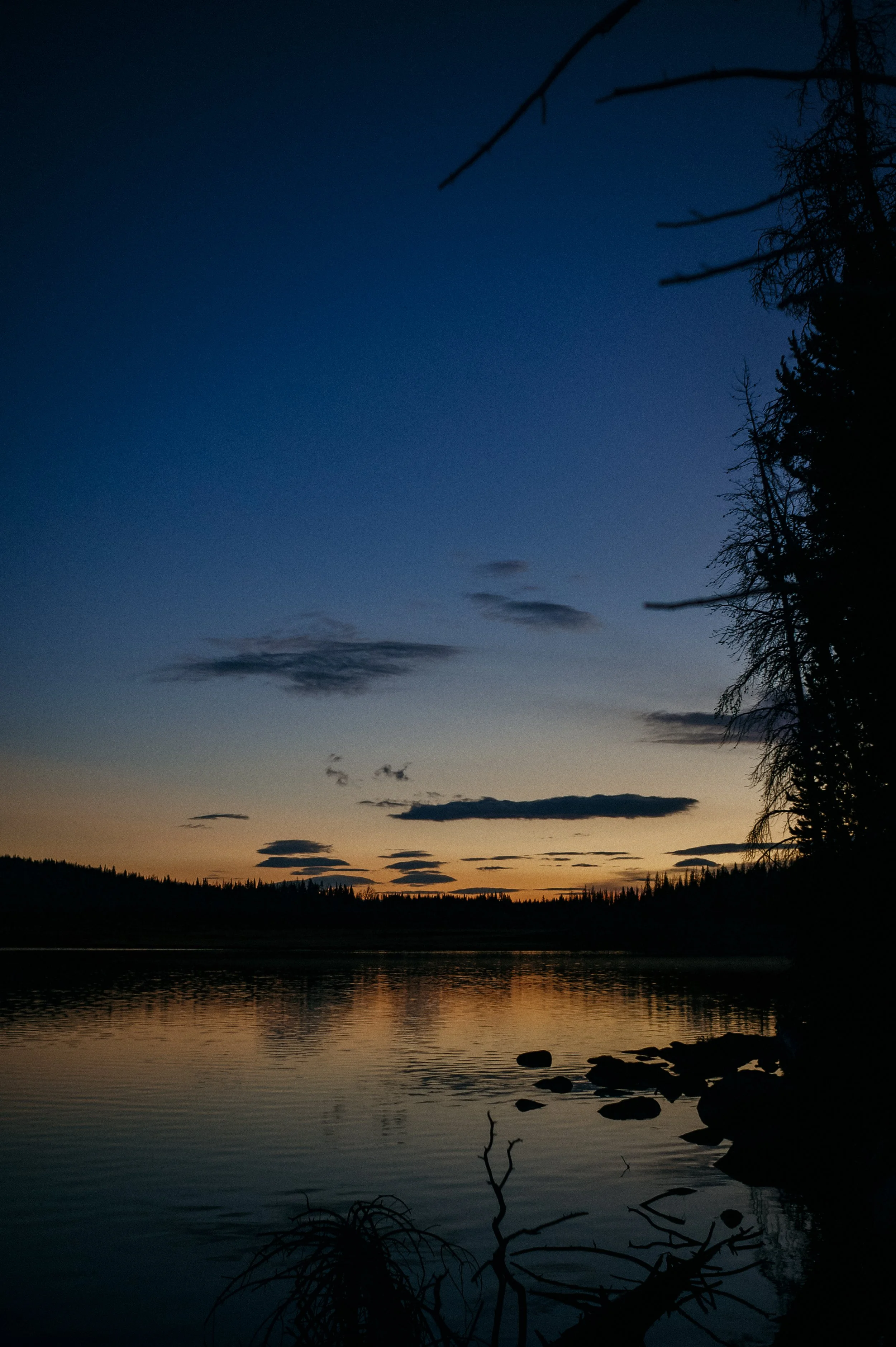
There was a beautiful sunrise on the lake that I was camped at. It was a perfect set off for the day.
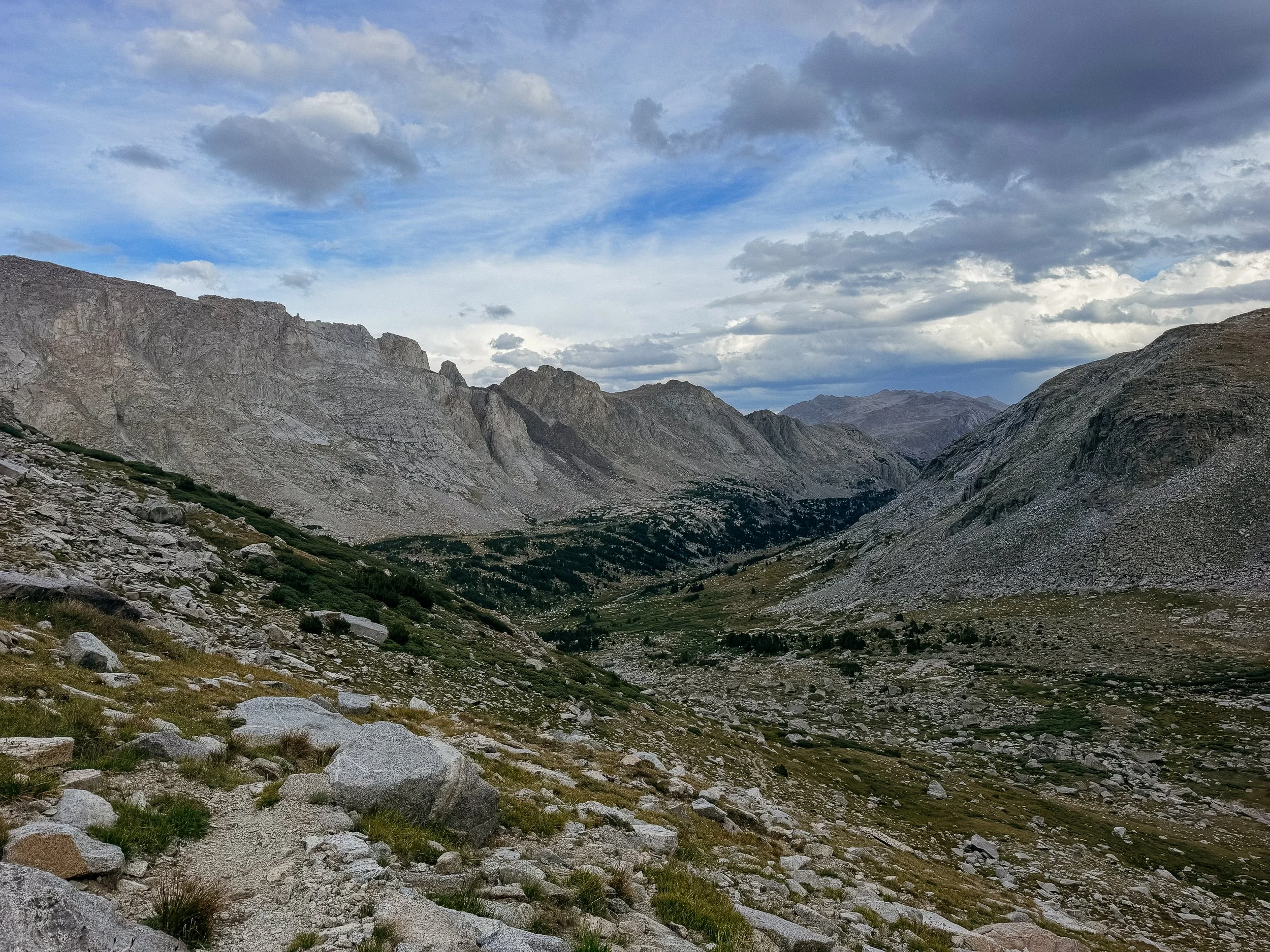
The morning went by quickly through cow pastors and as I climbed up a very gradual climb called Gunsight Pass. I believe that anytime you go over a pass you’re unlocking the new canyon or a new view. And this view was amazing. It opened up to the Green River Lakes area that really began the view of the Winds.
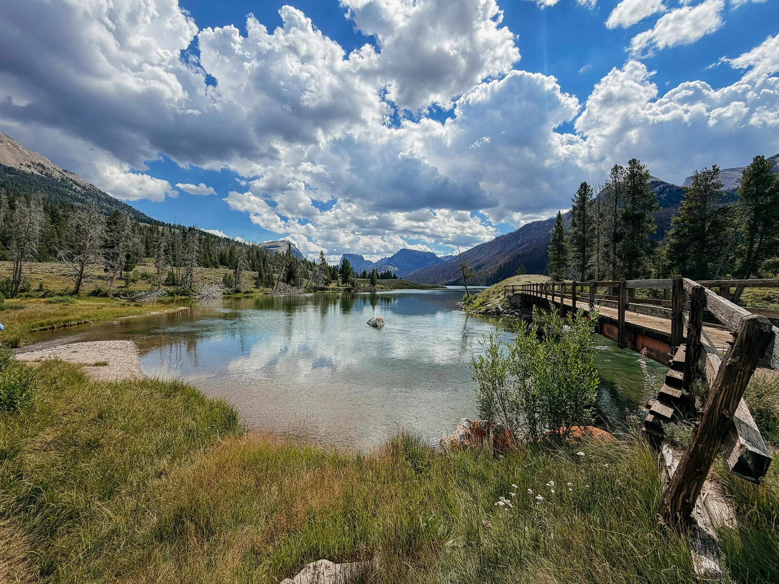
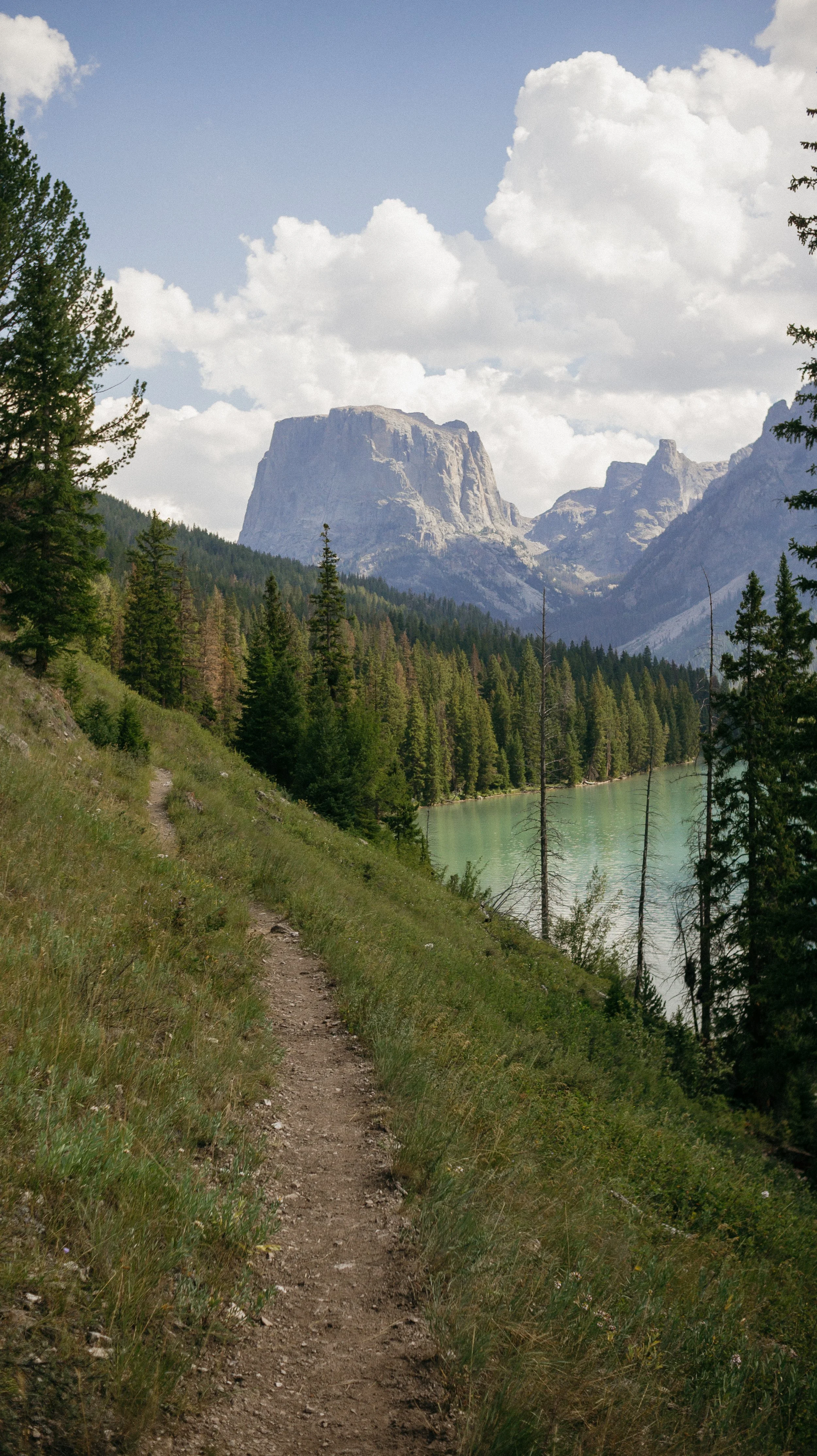
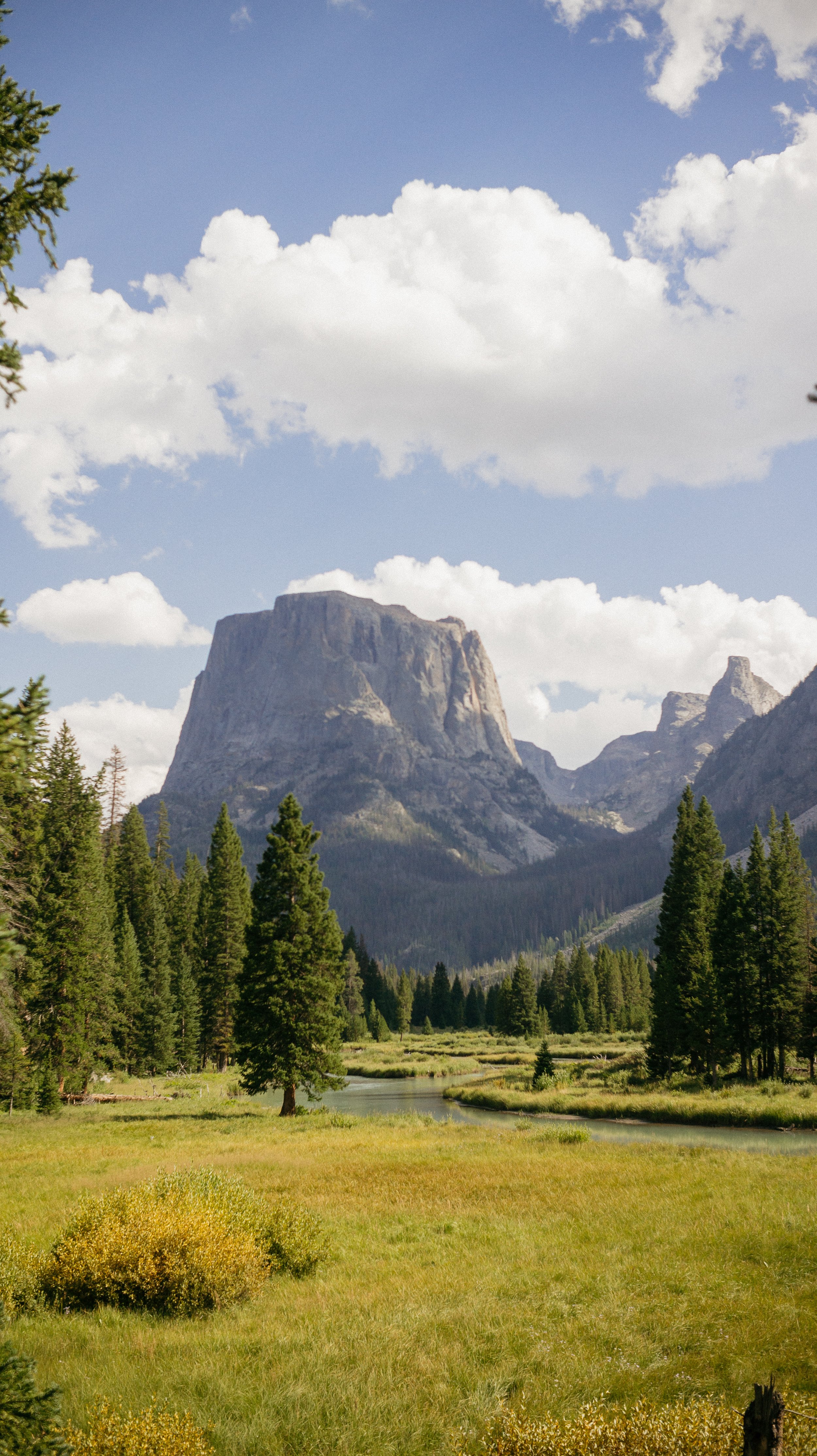
This was a popular trailhead so many day hikers, weekend backpackers, and families were out enjoying the area. The trail wound around the large lake, and it was a feast for the eyes. In the background, there was a Squaretop Mountain, who sat perfectly in between the canyon. The Continental Divide Trail continued on the long lake and then continue going along the tributary rivers. All while walking around Squaretop Mountain.
The last several miles of the day were beautiful, gradual trail that crossed over several different small streams. I finally chose a camping spot that had an incredible view of the mountains.
-
SLEEP: Camp at Mile 1202.0
MILES: 23
ELEVATION GAIN: 5184 ft
ELEVATION LOSS: 3468 ft
WEATHER: Sun
OVERVIEW: 11,000 ft!
One of the reasons why the day prior was so long was because there was a lot more elevation than other days in this section. I started my ascent up to Summit Lake early. It was a gradual climb and with every switchback it opened up more views of the Winds. At the top at Summit Lake, a very small snow melt lake, there was a Search and Rescue helicopter flying over. This is never a good thing to see because it means somebody in the area is in distress. A few days later, I found out that the person they had been looking for was missing hiker and they found them safely! A happy ending.
The afternoon continued to climb up and through lot of small alpine lakes and big boulders. It was the first time that the trail got over 11,000 feet which felt like an accomplishment. We had lunch at Upper Jean Lake, which was absolutely beautiful. The rest of the day was more of the same. Lots of water features, huge beautiful, jagged peaks, large rocks, and just everything you think of when you think beautiful mountain scenery.
The day had a lot of ups and downs so by the time we got to Pole creek, I was done. This would be a little short of our original goal, but sometimes you need to listen to your body.
-
SLEEP: Camp at Mile 1227.4
MILES: 25.4
ELEVATION GAIN: 4767 ft
ELEVATION LOSS: 4252 ft
WEATHER: Sun
OVERVIEW: The Towers + Full Moon
This is another day of climbing, which should come as no surprise because that felt like what the Winds were like. There were three major climbs in the morning that just went straight up and then straight down. Temperature was cool and the weather complied so this was a productive, tiring morning.
We ran into a section hiker who was doing a large loop of the Winds who happened to work at a gear shop near the Appalachian Trail. His name is Todd and we ended up chatting with him for over a half an hour. Amazing that when you only have one thing come with a person it opens your world up. He is working on writing a book for a guide to help older folks backpack; “Backpacking for old guys”. He was doing shorter days in order to write on this trip. Inspiring!
Lunch was on a beautiful lake where we had stopped to talk to forest service workers. This was a wilderness area so they were out cleaning some blow downs up, which I thoroughly appreciate. The only bad thing about this lunchtime was that I lost my knife. That was a somewhat camping specific knife/multitool that I had since PCT. It was so heartbreaking to know that it fell out of my hip pocket.
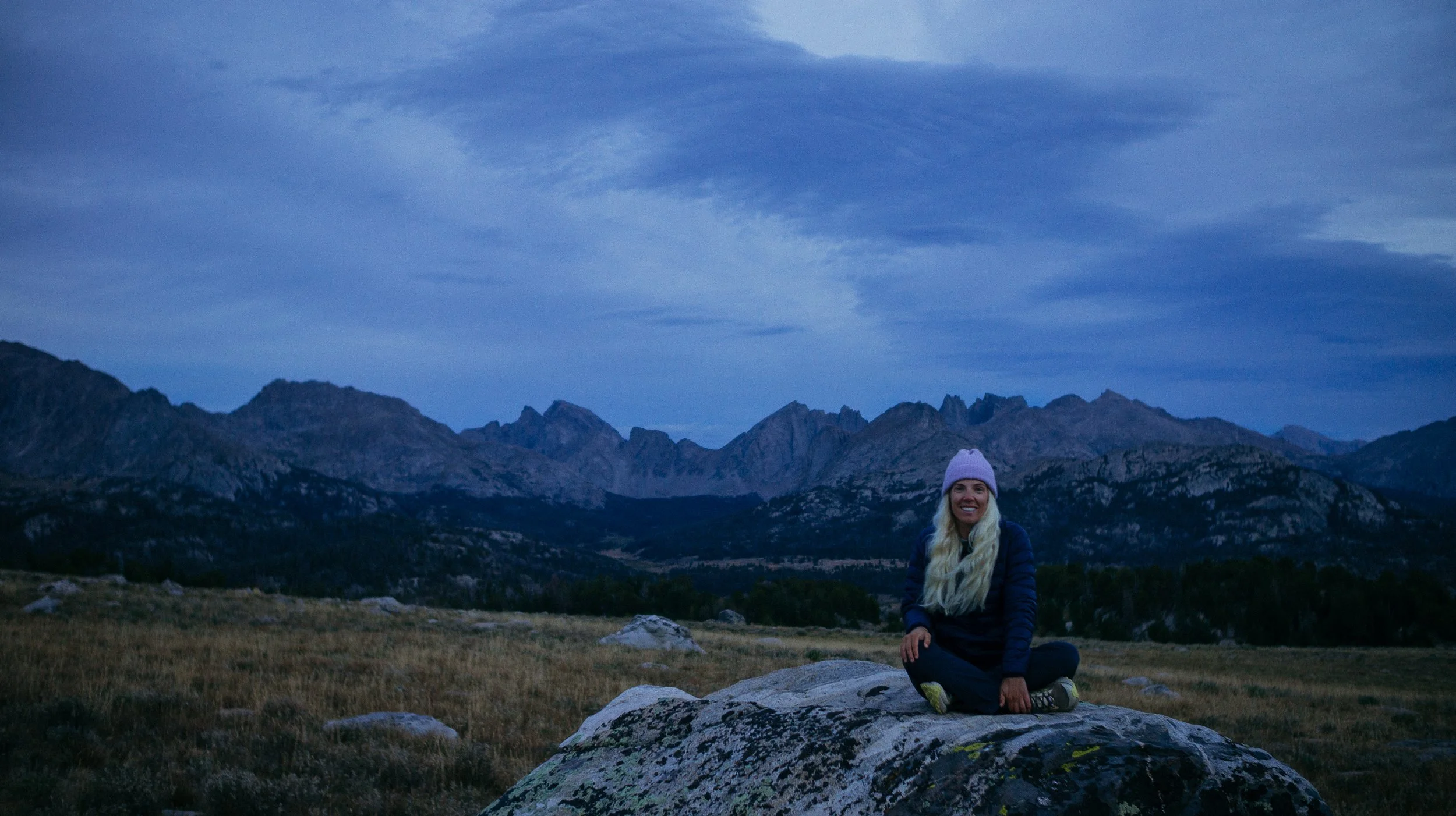
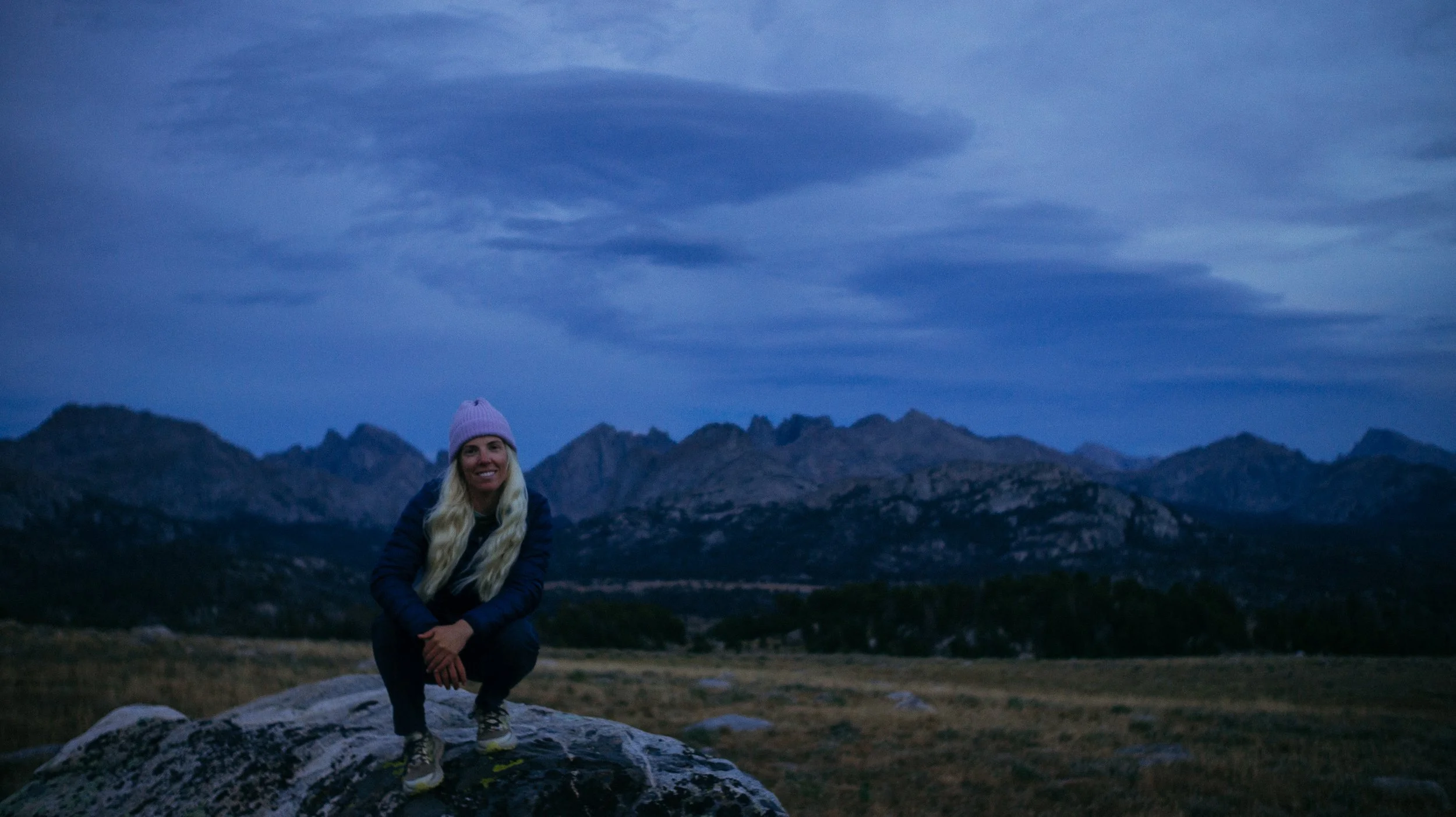
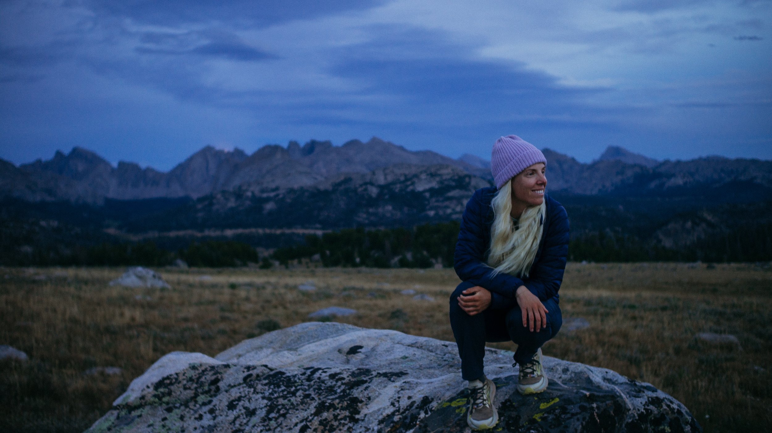
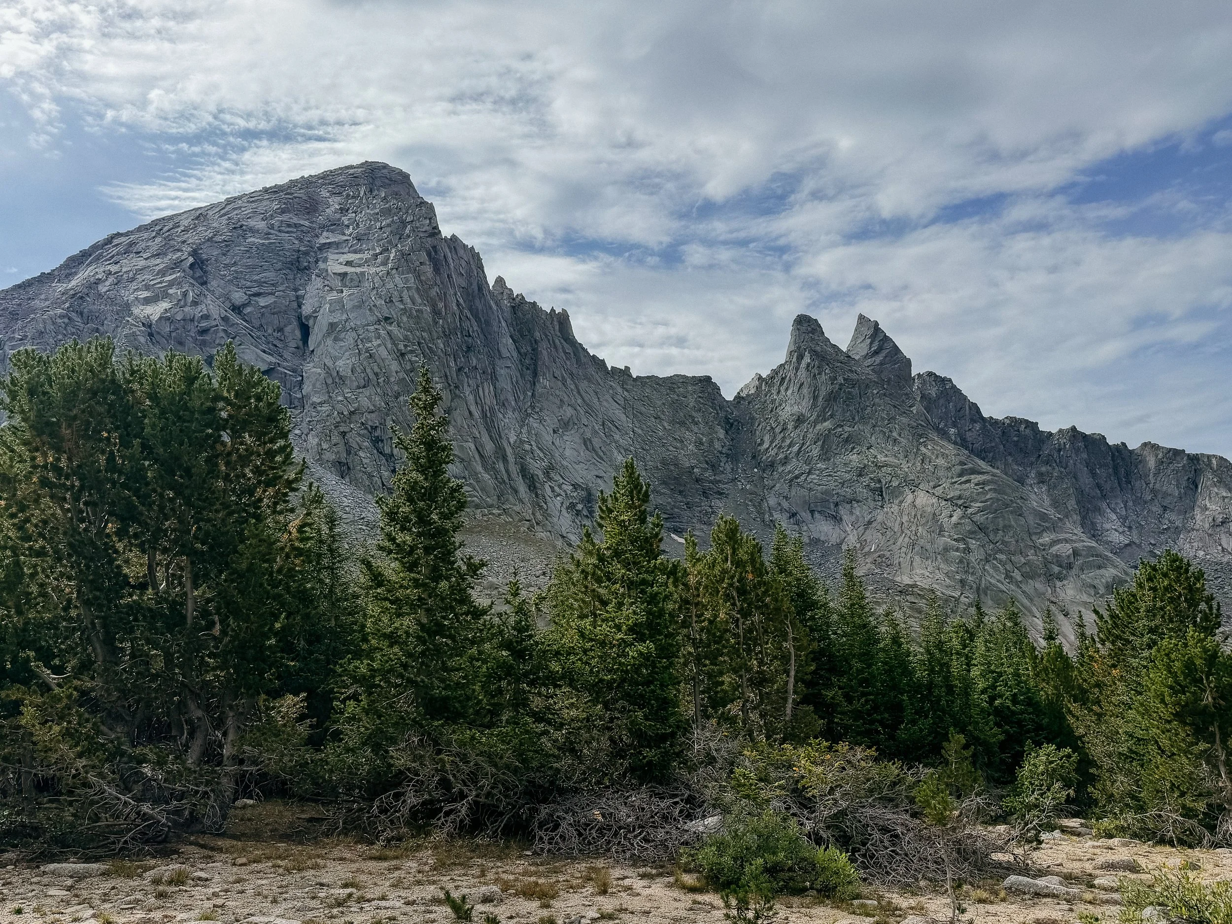
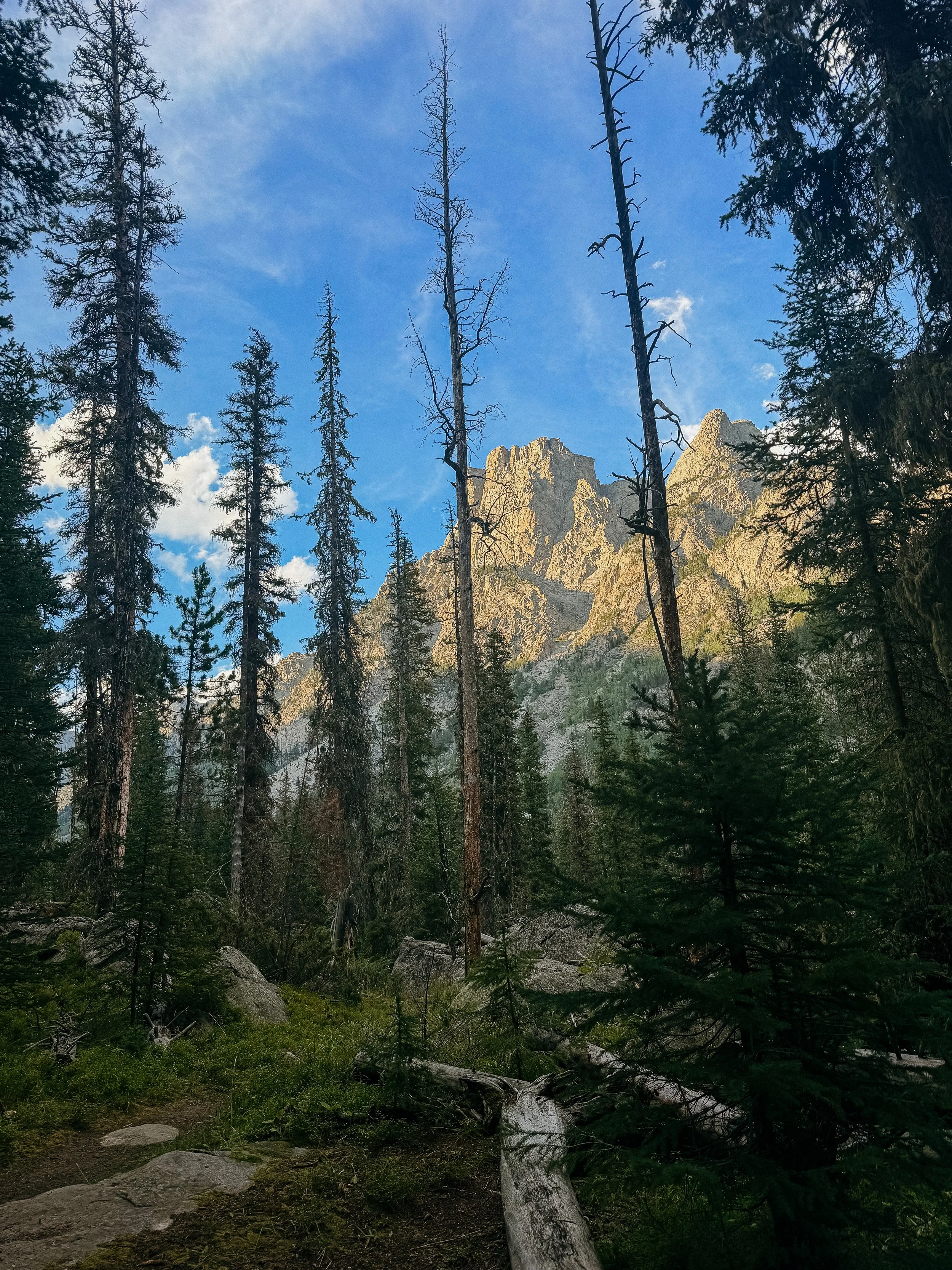
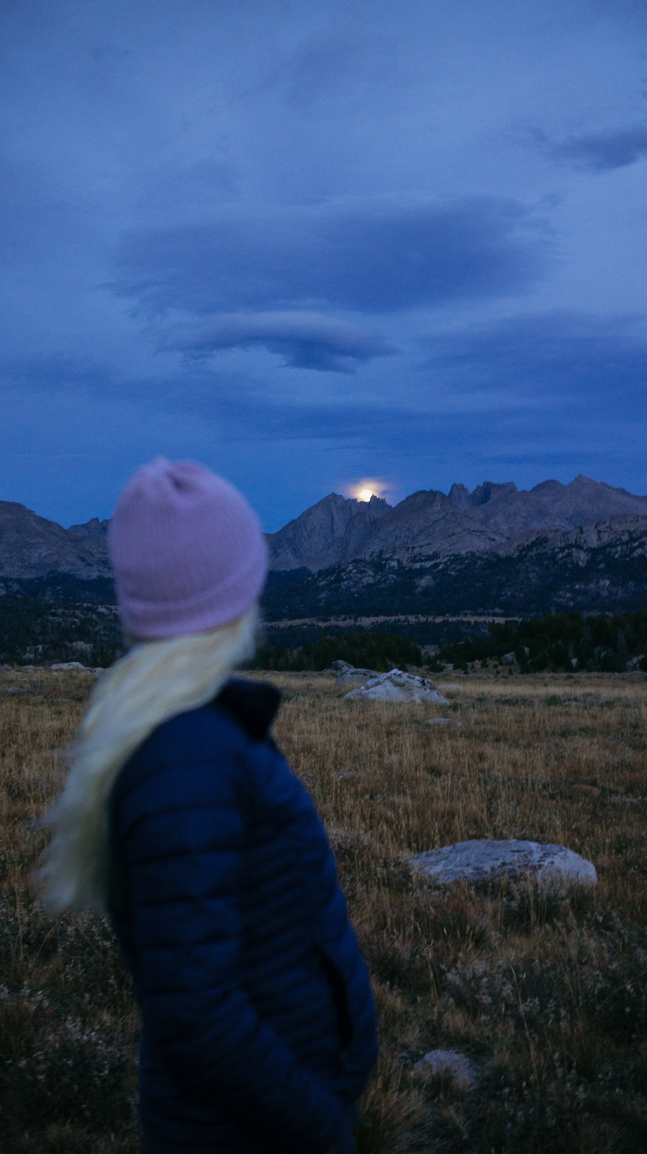
The afternoon went by in a blur. After the final climb of the day, I was greeted with panoramic views of the Towers. The Towers are a specific section of the Wind River range that has mountain peaks that… look like towers. With this backdrop, it was easy to want to take some photos. But while taking some photos, the moon popped up over the main section of the towers. It happened to be a full moon as well, so it’s shown very brightly. It was a treat as I was heading in to do the Cirque of the Towers of all day.
-
SLEEP: Camp on Cirque of the Towers alt
MILES: 18.7
ELEVATION GAIN: 5010 ft
ELEVATION LOSS: 5203 ft
WEATHER: Sun, Rain
OVERVIEW: The Cirque was a dream
It was an exciting day. The Cirque of the Towers alternate had been something I had been looking forward to since before the trail began. I had heard of this section of the Wind River Range for years and it was finally time.
Beautiful gentle grades greeted me for the first several miles until I got up the Shadow Lake. This was comically picturesque. The towers hovered in the background over a bright blue lake. I had my morning snack here before continuing on to the first pass. This was a much busier section than expected so I chatted with some folks along the way. Some flew in from North Carolina just to do this loop!
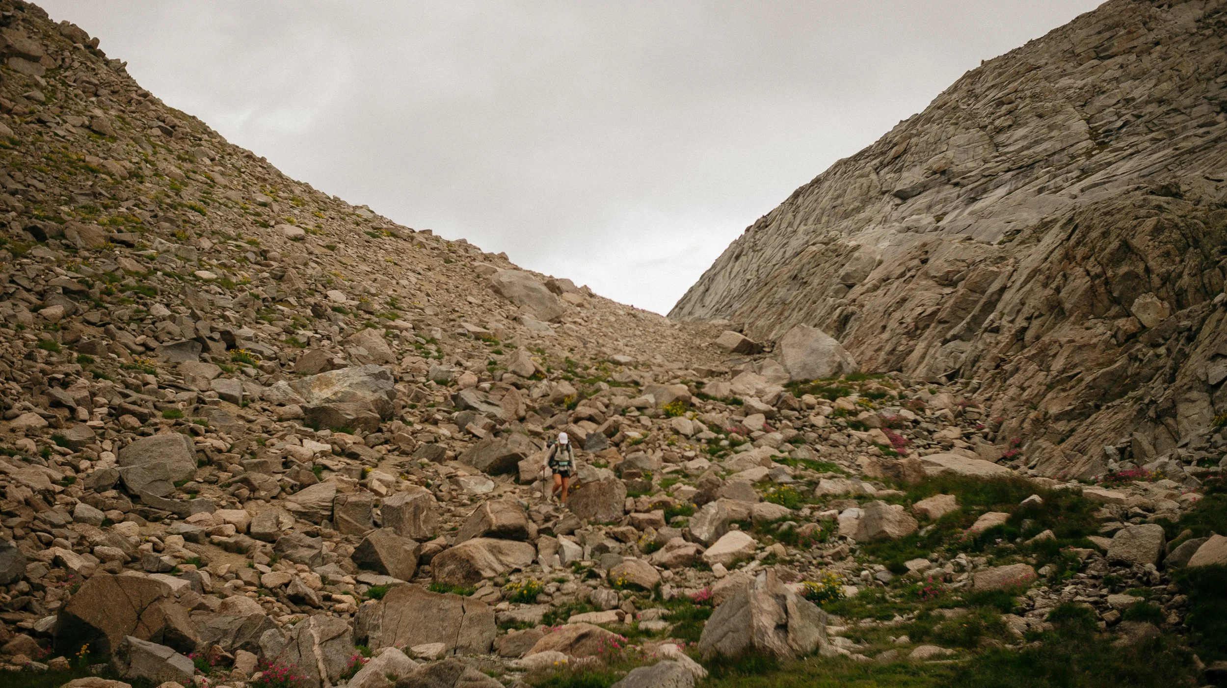
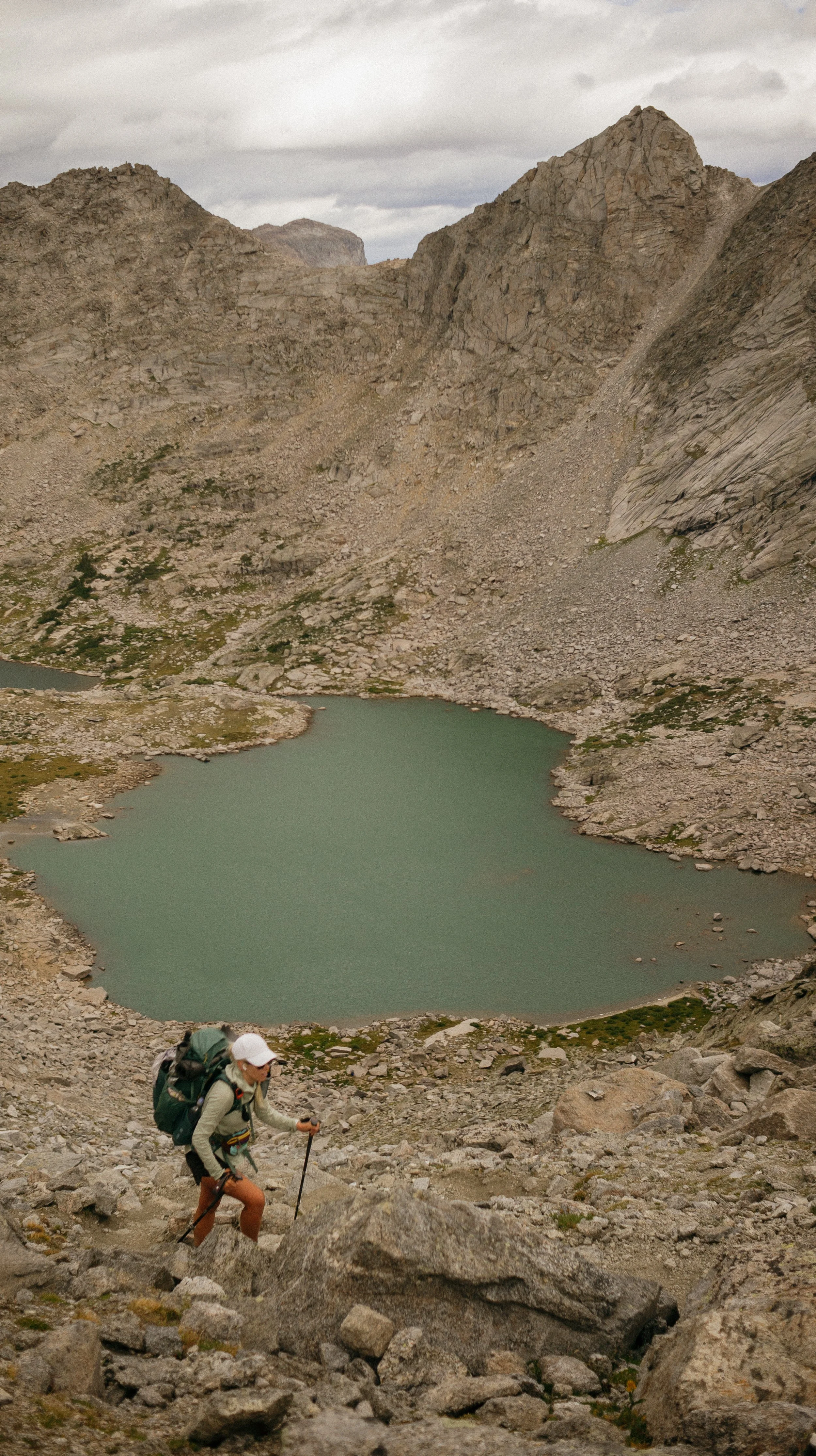
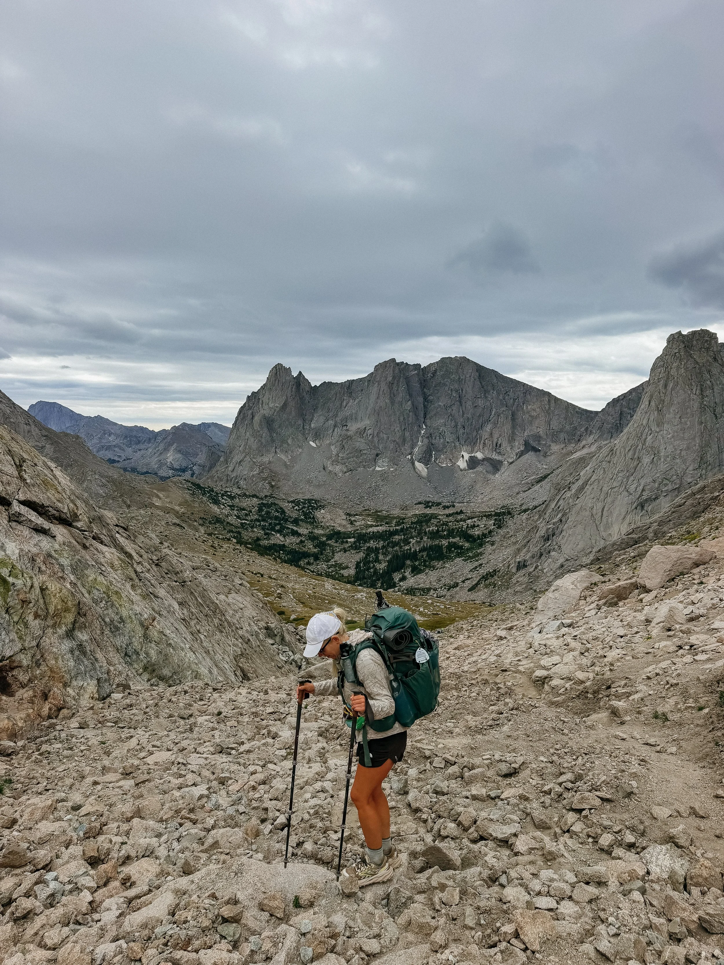
Texas Pass loomed over Texas Lake. Once I saw the grade, level of rock scramble, and then tiny figures hiking up - I knew this was going to be unlike anything I had ever done. At 1300ft/mile, it was one of the steepest things I had climbed and mostly made up of boulders. I ran into an Australian lady at the bottom who was having a hard time because she was concerned about storms rolling in within two hours. It was best to get up and over the pass then rather than get stuck, but she seemed unconvinced.
I giggled as I climbed because it felt like an adult playground. This was also going to be the highest in elevation that I had gotten thus far on trail! I quickly realized that I may be fitter than I give myself credit for. George was waiting at the top with other seasoned hikers and I was so proud of myself to arrive.
The wind was ripping so it was time to descend, which proved more difficult than the ascent. I ran into a group of 12 20-something guys who were going the opposite direction and beat. Hated to tell them how steep their descent was. My downgrade continued through a small but charred burn zone that kicked up much soot.
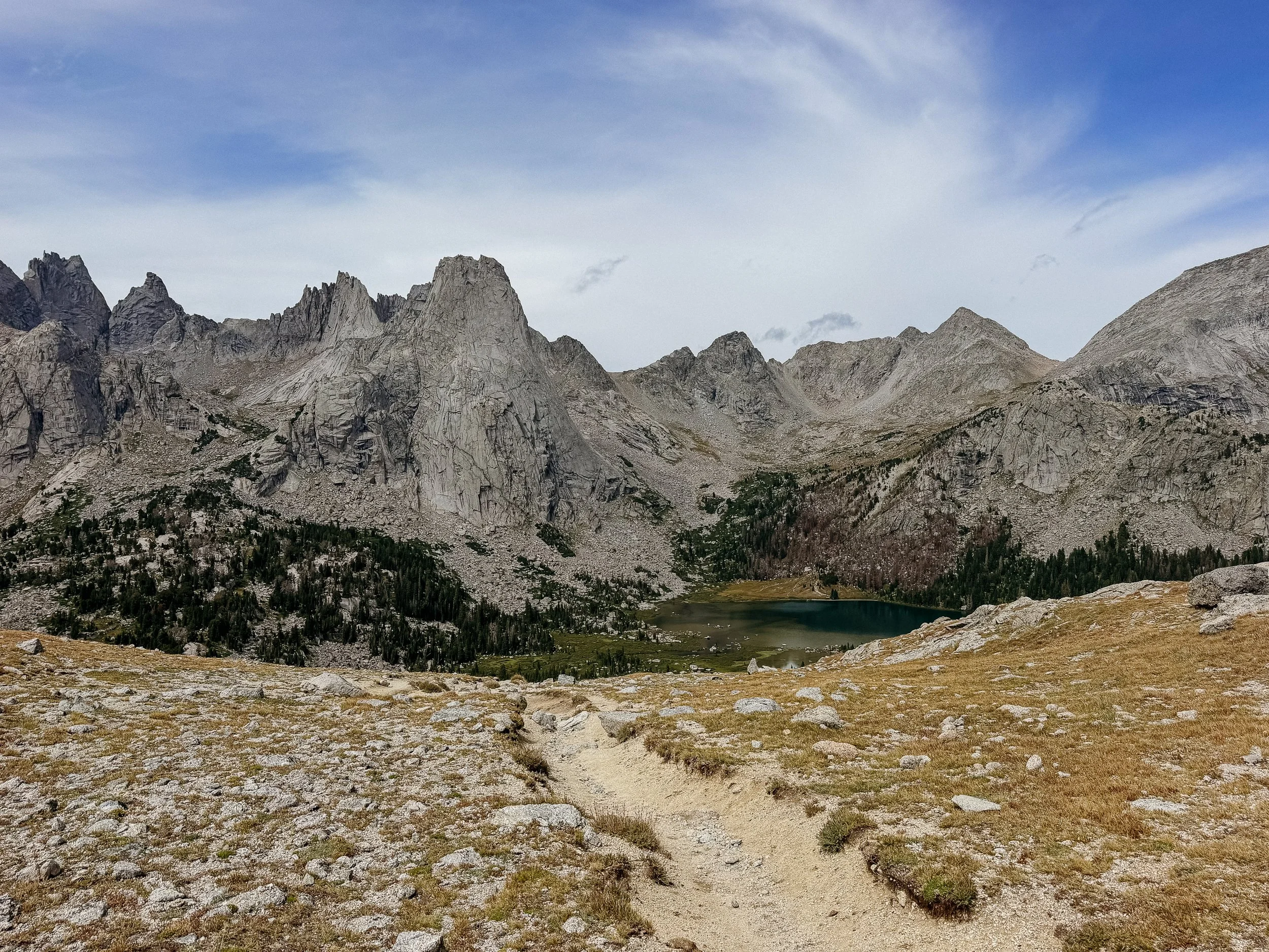
Once down at the lake, we had a quick lunch while the weather blew in. There was nothing we could do but head up the next pass - Jackass Pass - which was much milder. The sun came out again and we descended yet again.
I ended up taking the climbers route around arrowhead lake which gave Mahoosuc Notch vibes from the Appalachian Trail. It was fun route finding and a full body work out!
The trail continued along more lakes and more crowds were showing up! It turns out there is a relatively close access road that people come in on.
The last pass of the day, Temple Pass, was an absolute doozy of a climb. The longest ascent of the day and the one I was just ready to be done with. This climb was broken up into a few parts; all steep. The real challenge came when it was the final ascent, also at around 1300 ft/mile. The weather once again turned and the wind picked up. I got blown against the rocks several times which was one of the scarier moments I have experienced… until I heard rocks falling around me and into the lake below. I hurried up as fast as possible to the top.
The descent was a bit chiller and I was just looking forward to a camping spot in a clump of trees. George and I found a spot big enough for both of us and we tucked in. I was so very thankful for the tree coverage as the wind was unrelenting even with those barriers.
A tiring but rewarding day.
-
SLEEP: Hotel in Lander, Wyoming
MILES: 18.7
ELEVATION GAIN: 1785 ft
ELEVATION LOSS: 3442 ft
WEATHER: Rain, Wind, Sun
OVERVIEW: Thankful to be in a town
I woke up after a rough night sleep due to the weather. There were times I wasn’t sure if my tent would hold against the wind gusts. It poured rain for most of the night but turned into a drizzle when I broke down camp, luckily.
This was some of the worst weather I have ever hiked in. Wind gusts and the sustained winds had me leaning forward to walk all while getting pelted with hail and rain. The temperature was barely above freezing so even in my layers, the wind bit because of the dampness.
I was still on the Cirque of the Towers alternate and although the rest of the trail had been great - this part of the trail was nearly impossible to find. Cue George and I getting taken out by the weather all while attempting to look at our phone maps. What a mess.
This continues on even after we get back on to the main CDT trail. There are tree blowdowns galore in addition to the other obstacles. At one point, I began to laugh rather manically because it was so ridiculous.
We passed a trailhead as the downpour continued and there was another backpacker there getting into his Subaru (classic) and took pity on us. We hopped in and got a ride all the way to Lander. The roads were horrible but John from Fort Collins was a pro and got us there safely. Dropped at a Thai restaurant and I have never been more thankful for a trail angel.
While walking through town, we burst into a bubble of hikers! Ferrari and Tumbles were there along with Coyote, Radio, Indy, Steady, Raindance, Grandma, and many more. It felt good to see other folks as I had been inbetween bubbles thus far.
I got settled in for the night at a hotel and was shocked what a strenuous 7-day stretch could do to my body. No wonder I was both hungry and tired. Thankful for everything she does for me!
-
SLEEP: Hotel in Lander, Wyoming
MILES: 0
ELEVATION GAIN: 0 ft
ELEVATION LOSS: 0 ft
WEATHER: Sun, Hot
OVERVIEW: A zero day
Because of the shorter day the previous day, it was a surprise zero day because I had packages waiting at the post office and it was Sunday. The day was filled with both chores and relaxation. I was able to give my bear spray to some weeklong hikers and save them some money and me some pack weights. Can’t complain!
GALLERY