Continental Divide Trail: Old Faithful - Dubois
INTROThe Continental Divide Trail is a National Scenic Trail spanning approximately 3,100 miles from Mexico to Canada (or vice versa) through Montana, Idaho, Wyoming, Colorado, and New Mexico, following the geological continental divide.
NOTE
I am hiking the Continental Divide Trail southbound from Canada to Mexico. This trail will complete my Triple Crown of hiking, which includes both the Appalachian Trail and the Pacific Crest Trail.
Unlike the Appalachian Trail and the Pacific Crest Trail, the Continental Divide Trail is somewhat of a choose your own adventure. Alternatives routes, and A variety of options allows this trail to be more fluid. I will do my best to explain the routes that I take in the detailed section.
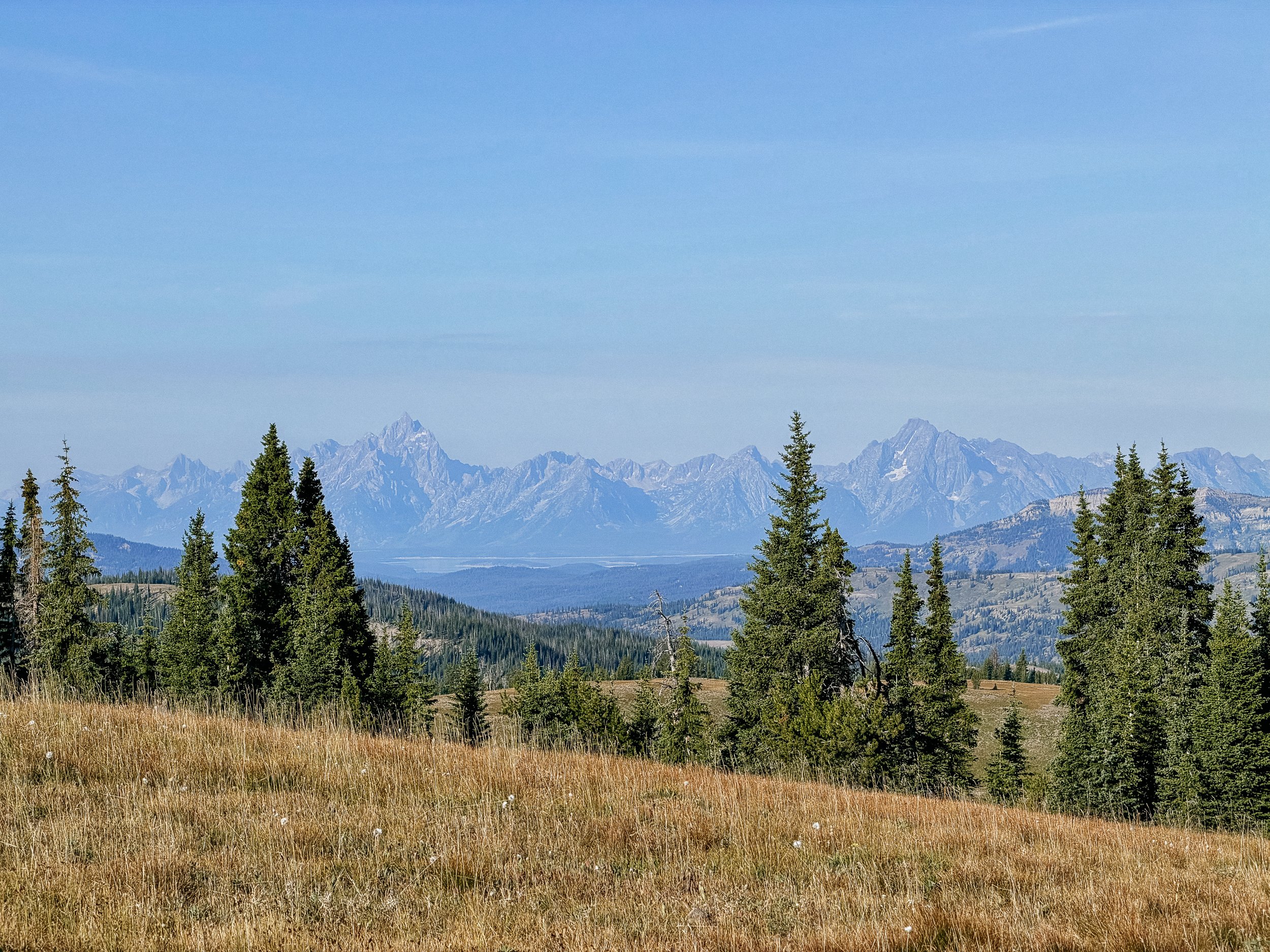
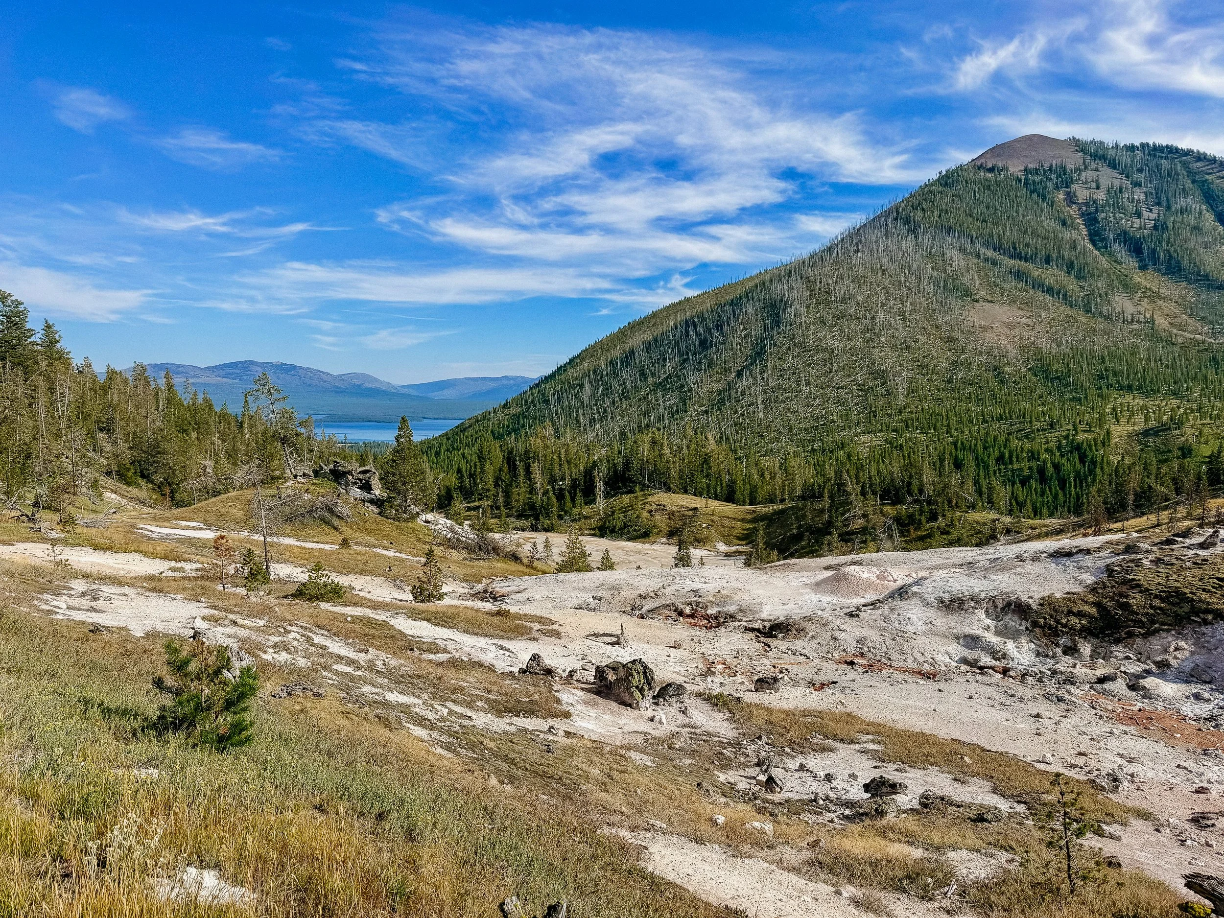
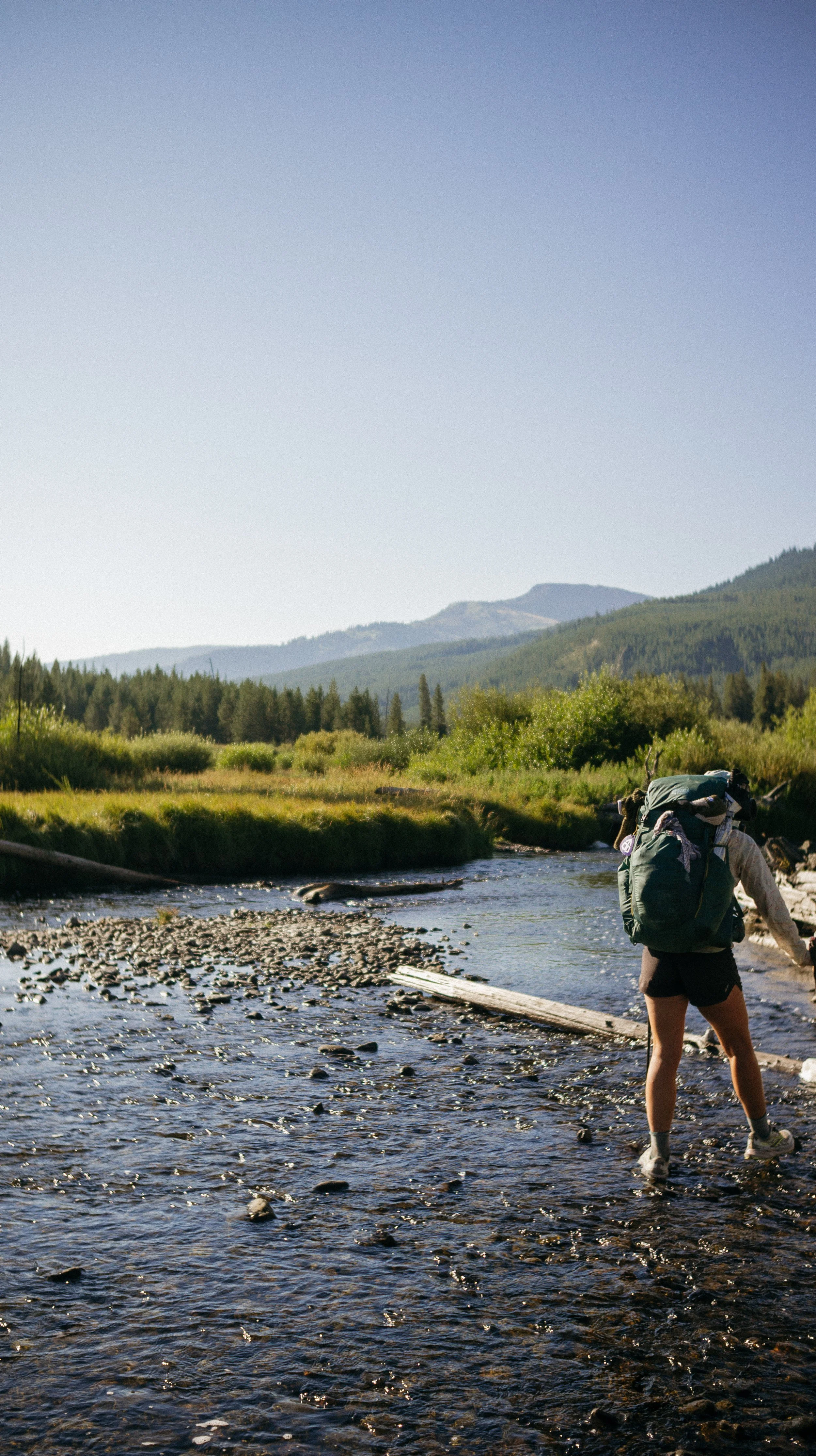
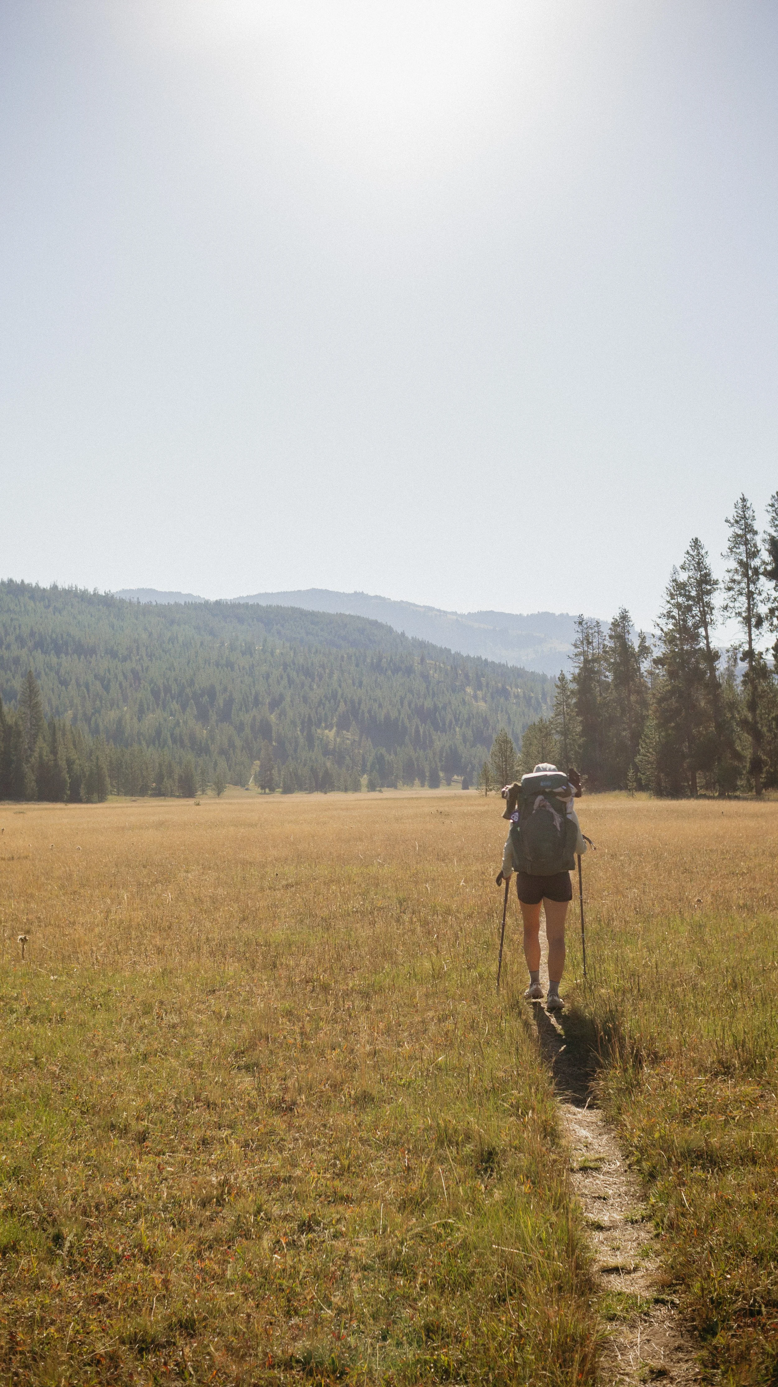
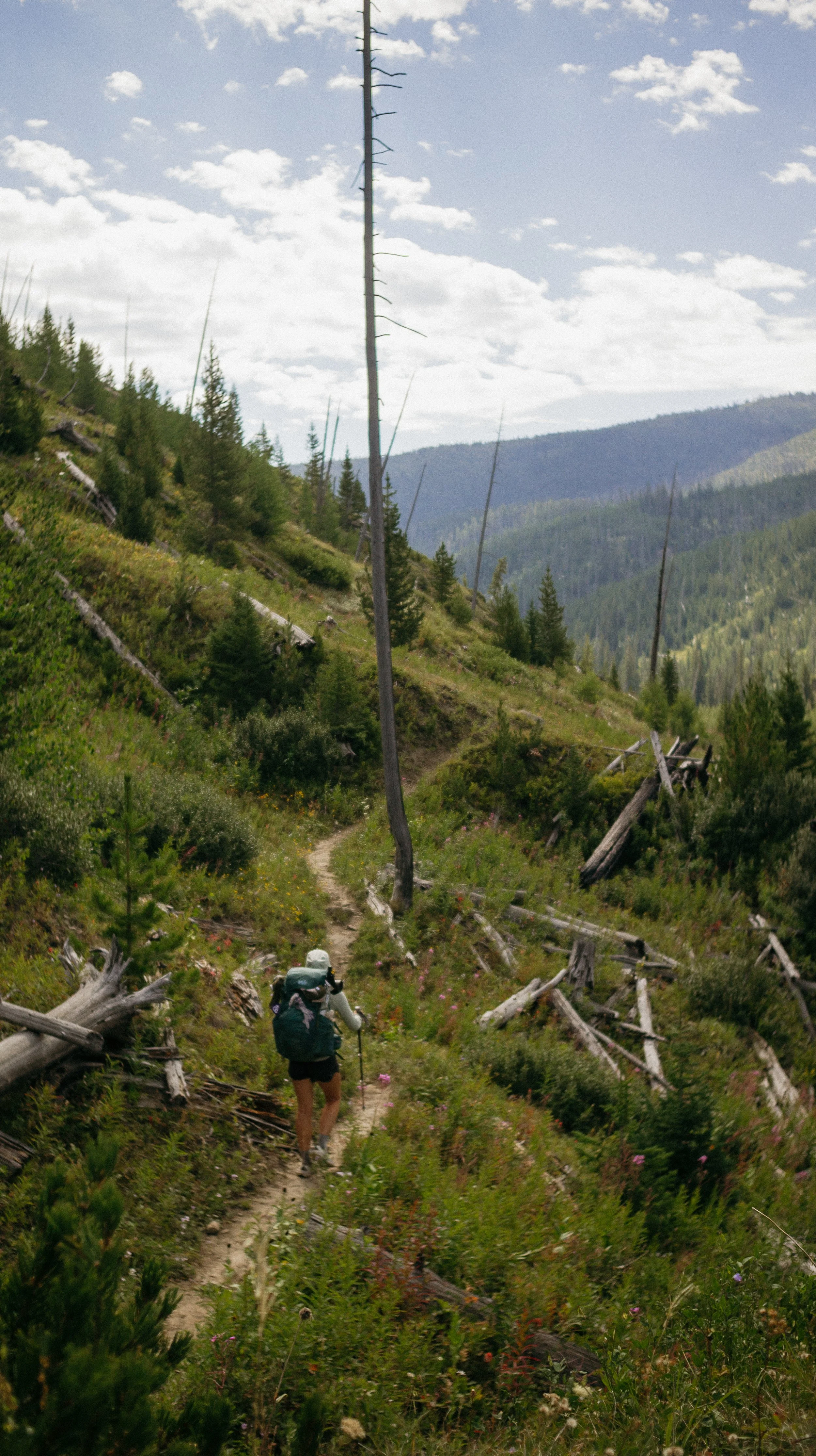
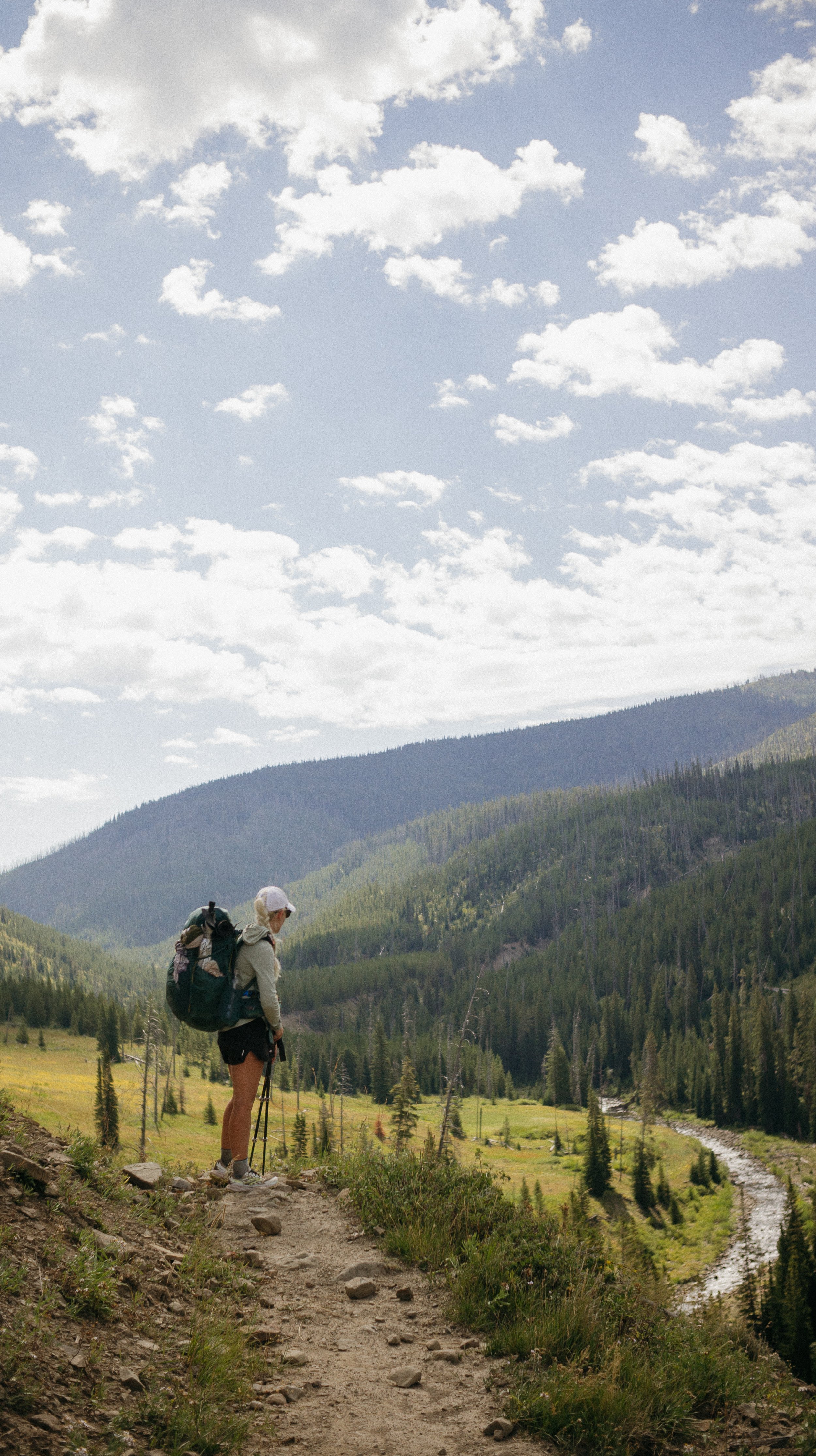
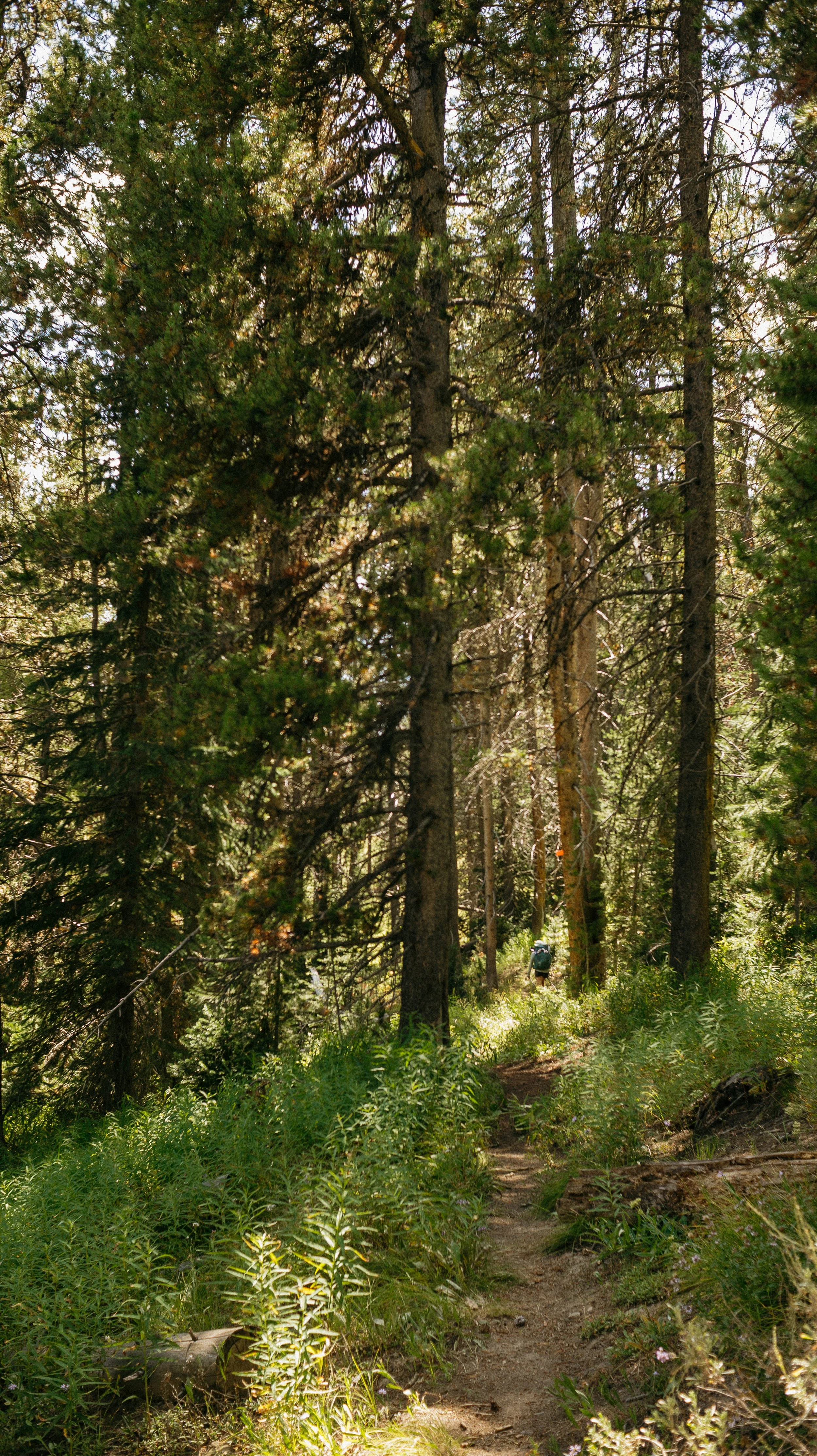
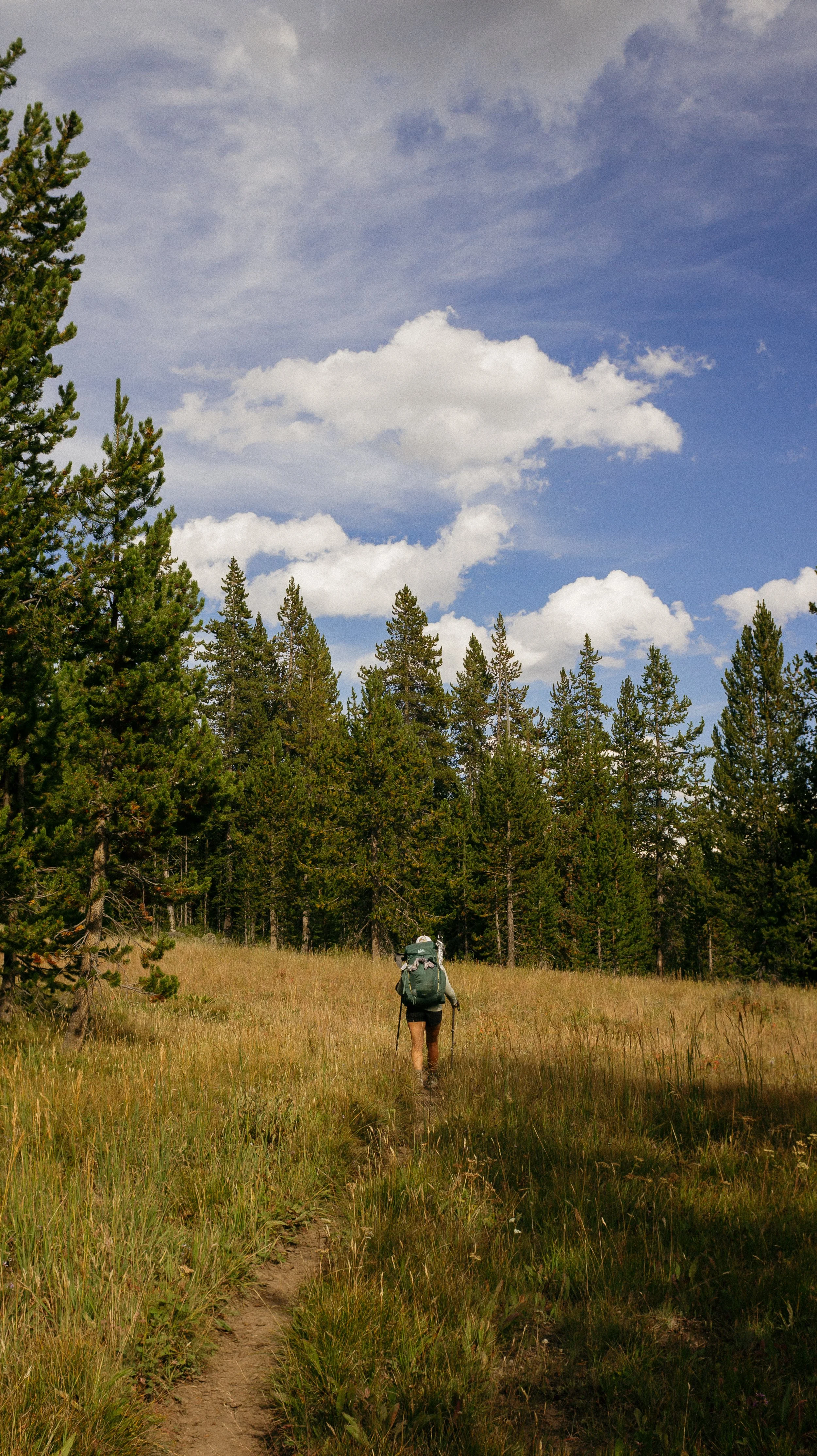
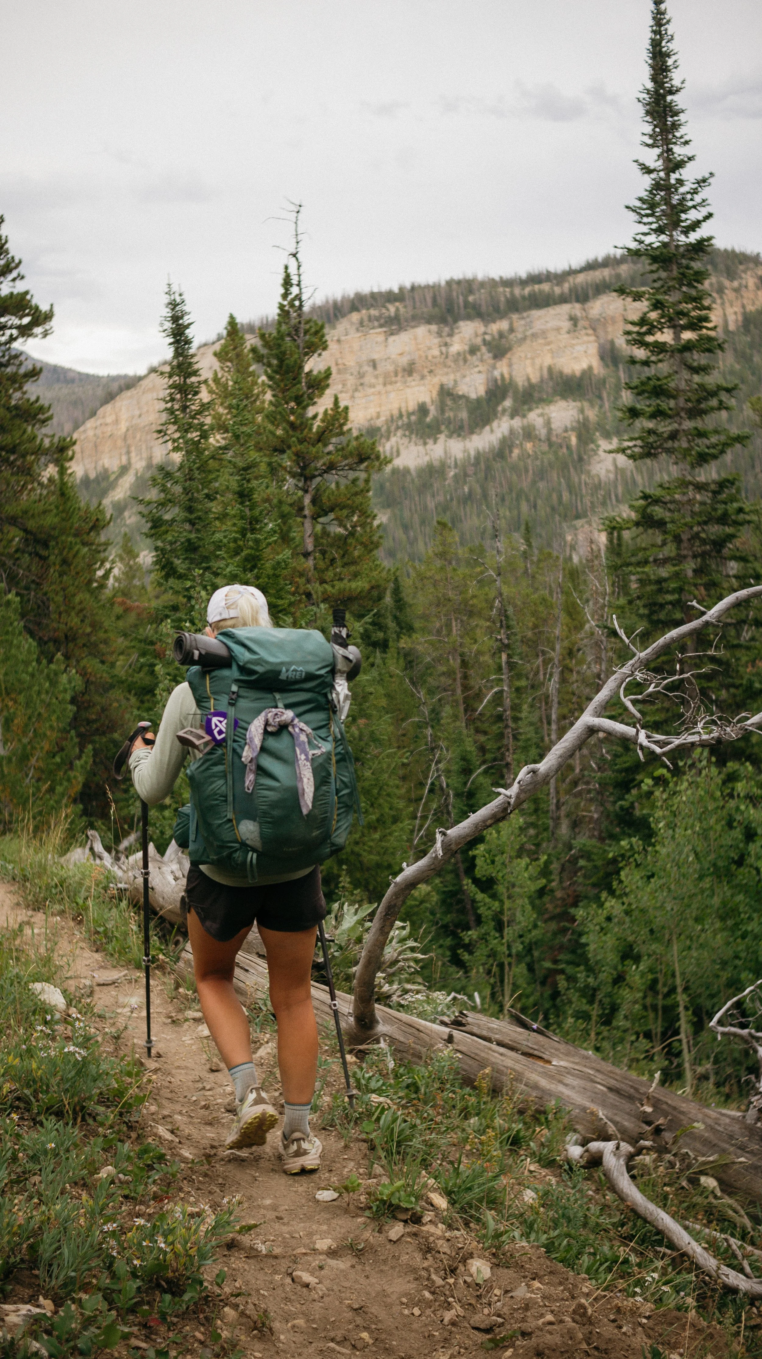
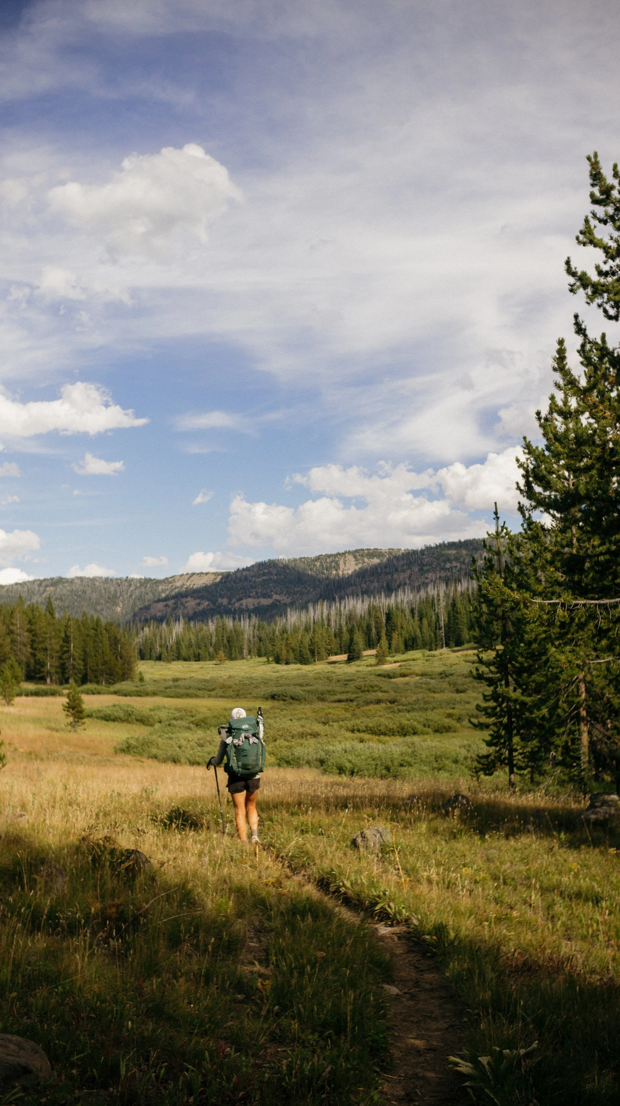
Day 55-58 took me from Old Faithful in Yellowstone National Park, Wyoming to Dubois, Wyoming. This section was short and sweet! The backcountry hiking of Yellowstone National Park was littered with geothermal features while being much flatter than the previous few weeks. Moving into the Bridger Teton Wilderness gave panoramic views of the Teton range despite staying on the redline. This was such a treat!
OVERVIEWTOTAL DAYS4
FULL HIKING DAYS3
zeroes0
neroes1
TOTAL ELEVATION GAIN14,527 ft
TOTAL ELEVATION LOSS13,330 ft
MILES COVERED99.7 miles
-
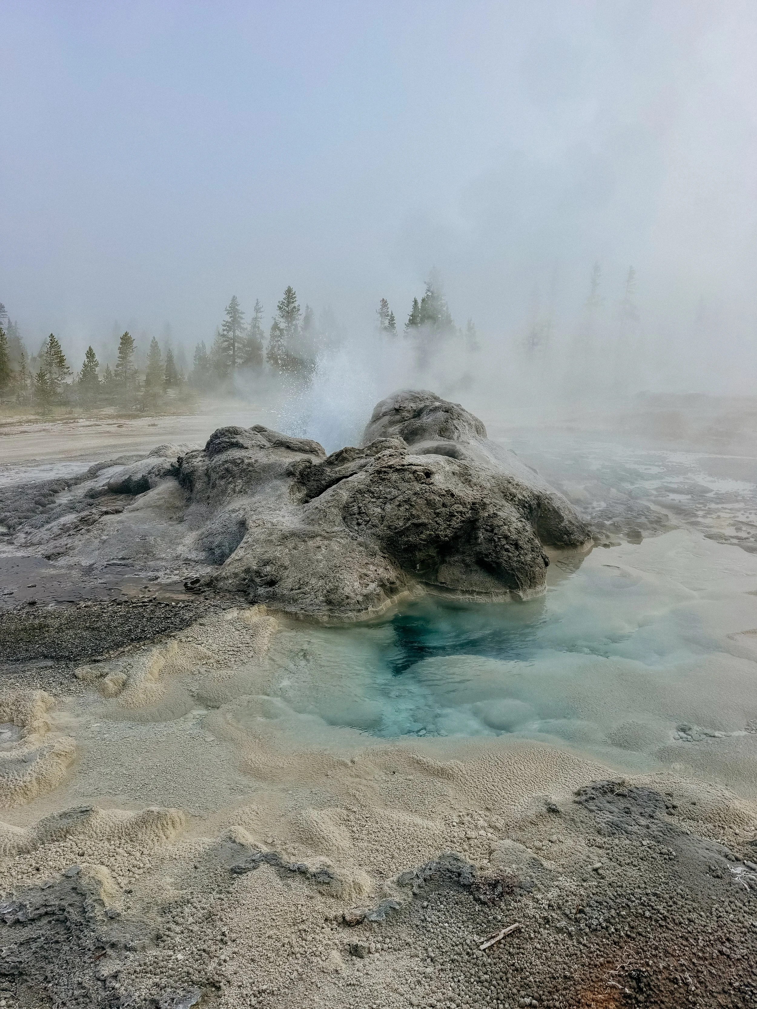
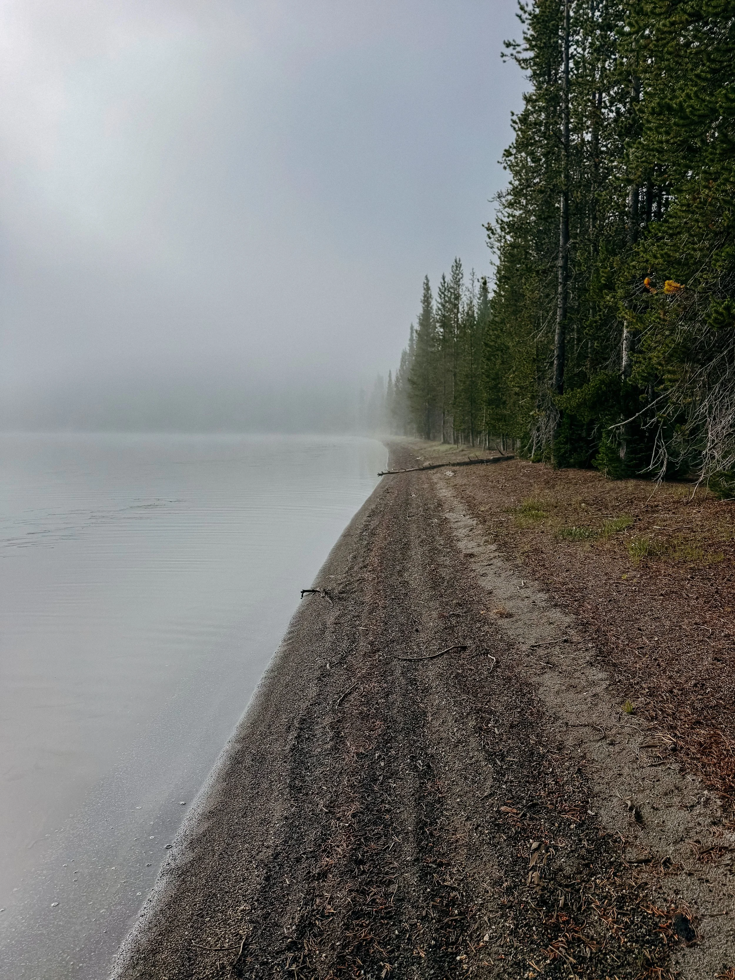
Hiking through Yellowstone backcountry with the sights and geothermals!
Views of the Teton range.
Meeting a Calendar Year Triple Crowner - Bubblewrap!
-
Thunderstorms continued the monsoon season.
Frustrating trail entering into Dubois, Wyoming.
Hotels in Dubois monopolies lead to an expensive 1 night stay
In Depth
-
SLEEP: Camp at Mile 1042.2
MILES: 30.1
ELEVATION GAIN: 3333 ft
ELEVATION LOSS: 3520 ft
WEATHER: Cold, Damp, Sun, Warm
OVERVIEW: First 30 miler of the trail!
Despite the late bedtime for the night prior due to hikers arriving late, this is one of my earliest days for wake up because I had 30 miles or more planned. It felt initially poor but eventually good to get up and out of camp by sunrise.
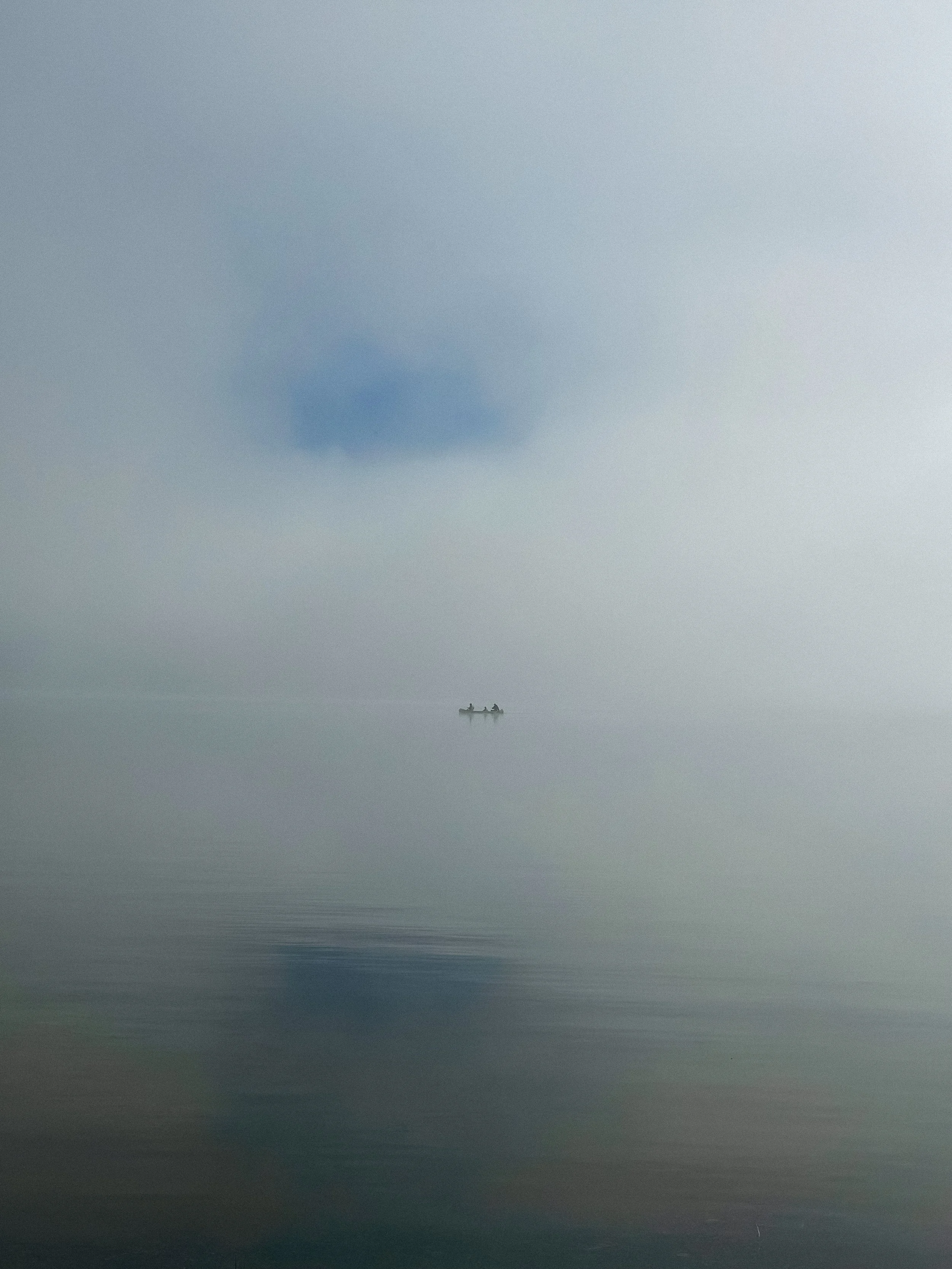
The morning was cold and misty which again left everything damp. But it was supposed to be a sunny day, so I hoped that I could dry some of my things out over a long lunch.
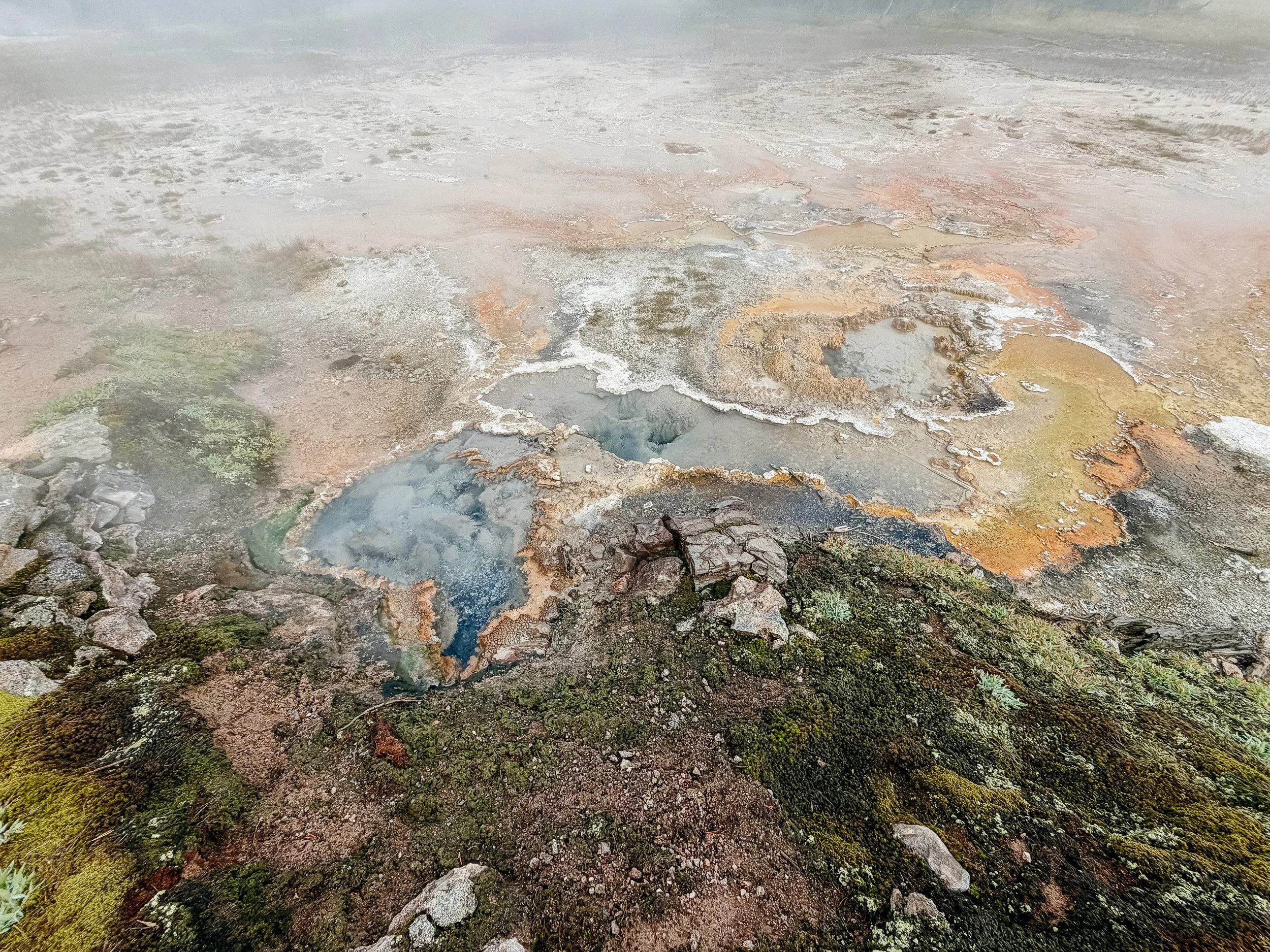
This ended up being one of my favorite days thus far on the cDT because hiking in the backcountry of Yellowstone was such a solitary experience. Whereas when you are visiting the park in a car, you see the main geothermals, like old faithful. There is seemingly always a crowd, a queue or a boardwalk around it. But the Continental Divide Trail walks you directly next to the geothermals. Obviously stay a safe distance away from them, but to get a little bit closer and different views than the traditional boardwalks was a treat. Particularly around Shoshone Lake geyser basin was special and some geysers were going off as we were there!
There unfortunately was also a lot of bogs and marshes. No way around them but to go through them - up to my shorts line. RIP to my brand new shoes.
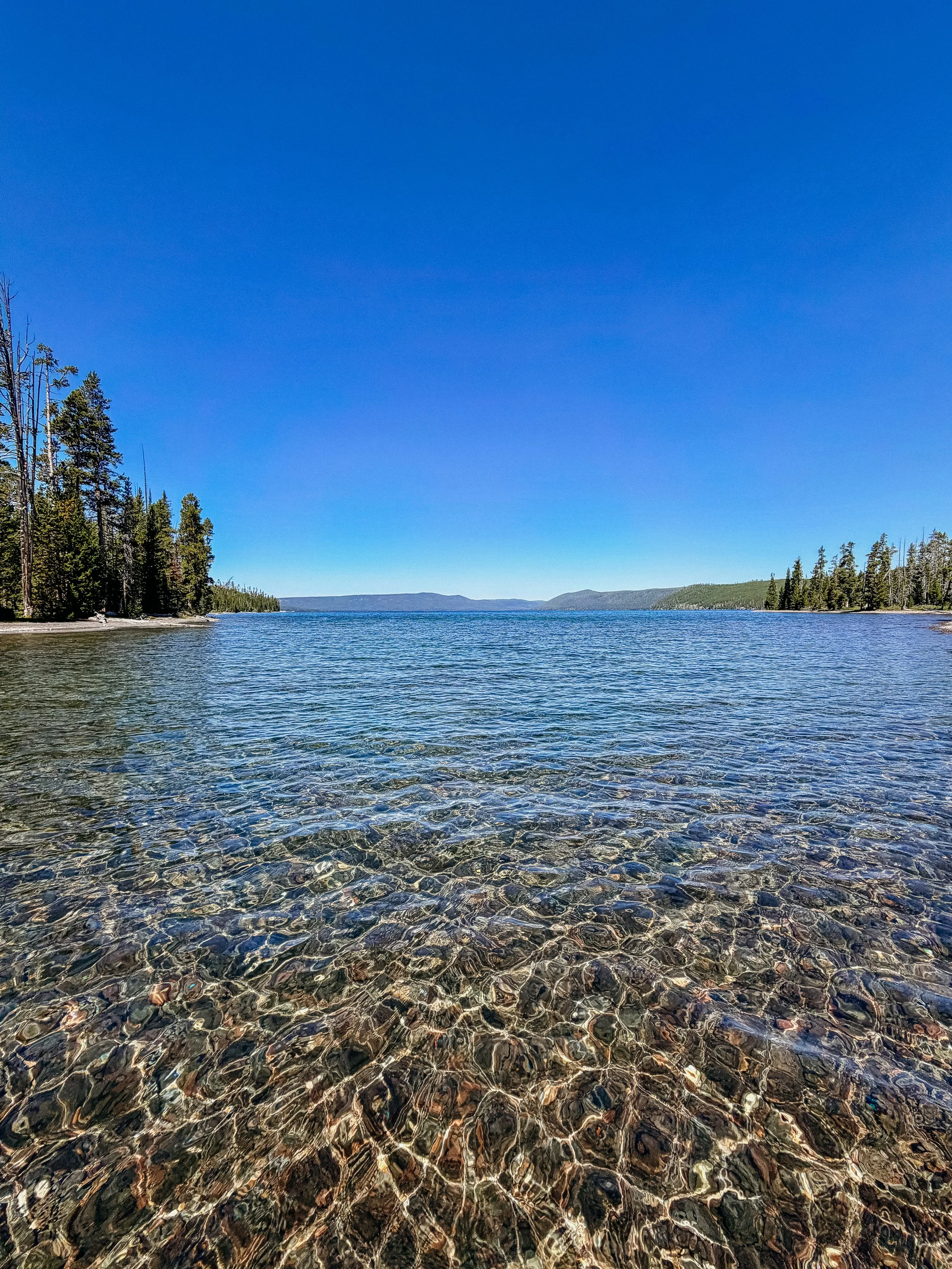
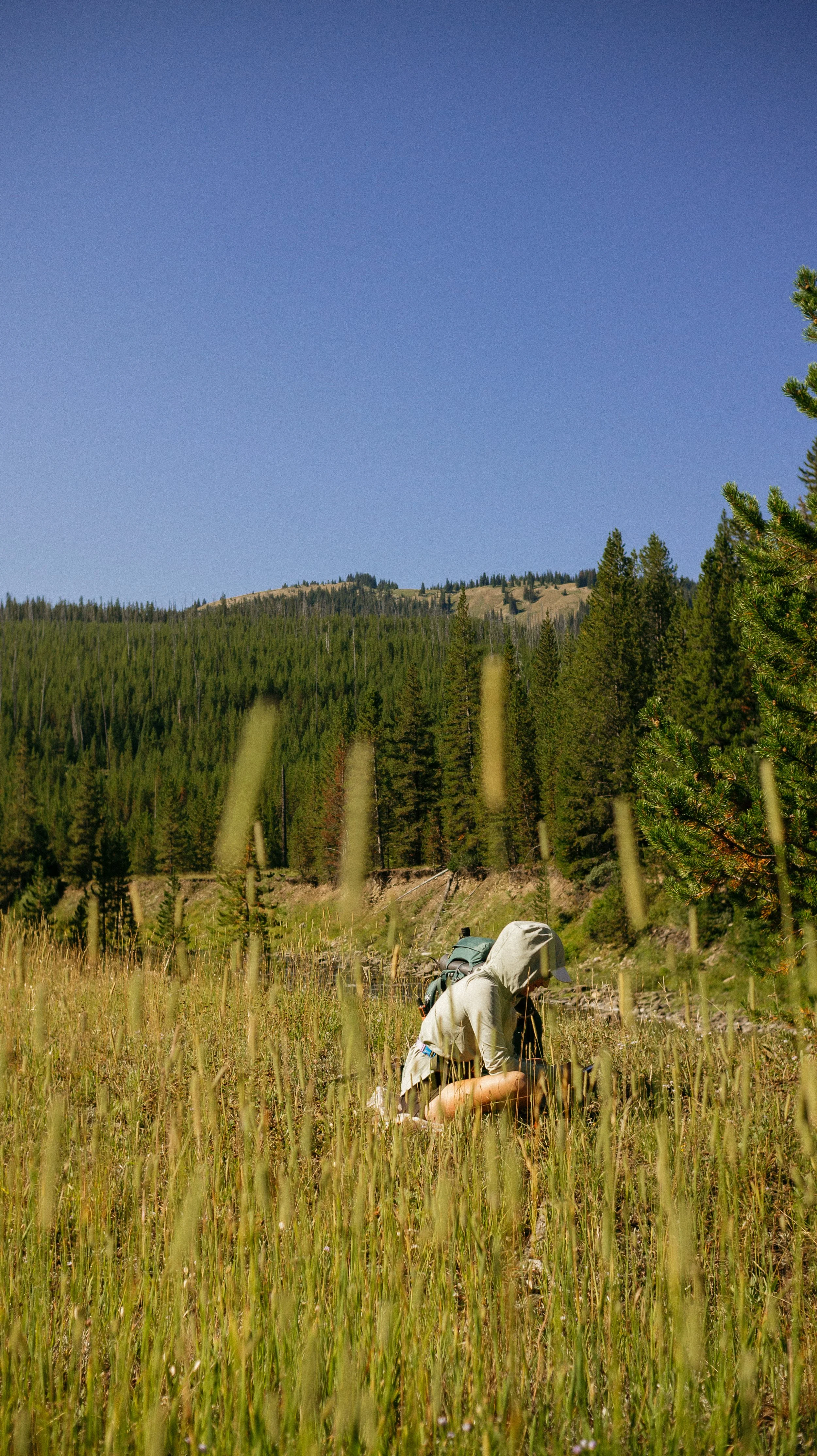
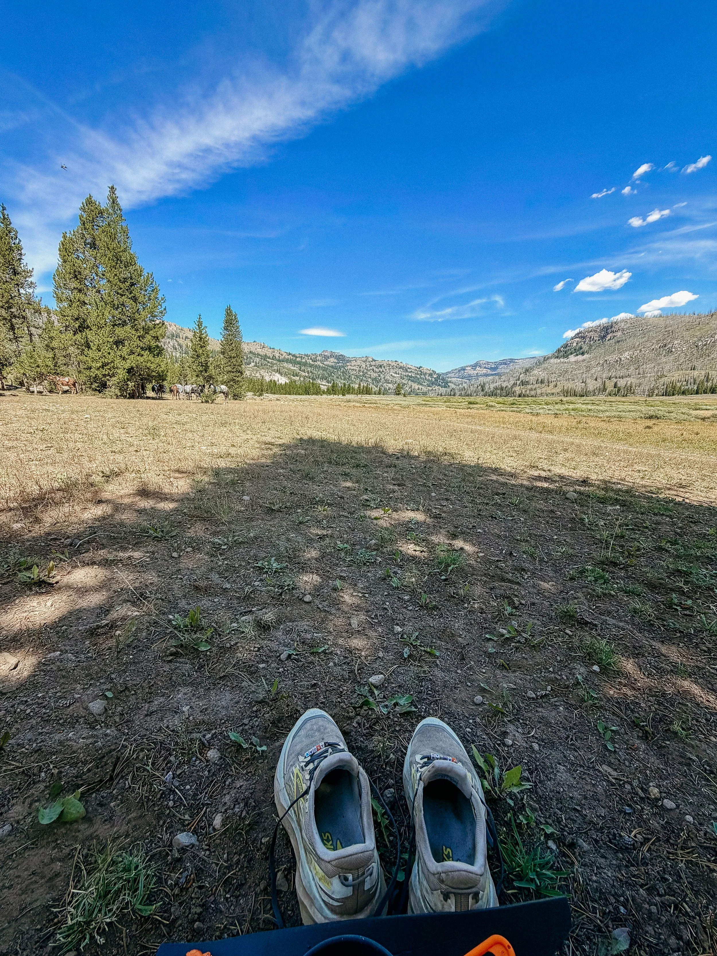
Lunch on the banks of Lewis Lake was a dream. It turned into a sunny afternoon, which meant a yard sale of tents, sleeping bags, and clothing to dry from the damp morning. An hour lunch may have been unwise with such a big day in the plans but it was nice.
Indian arrived just as we were heading out and she took our lunch spot that served us so well.
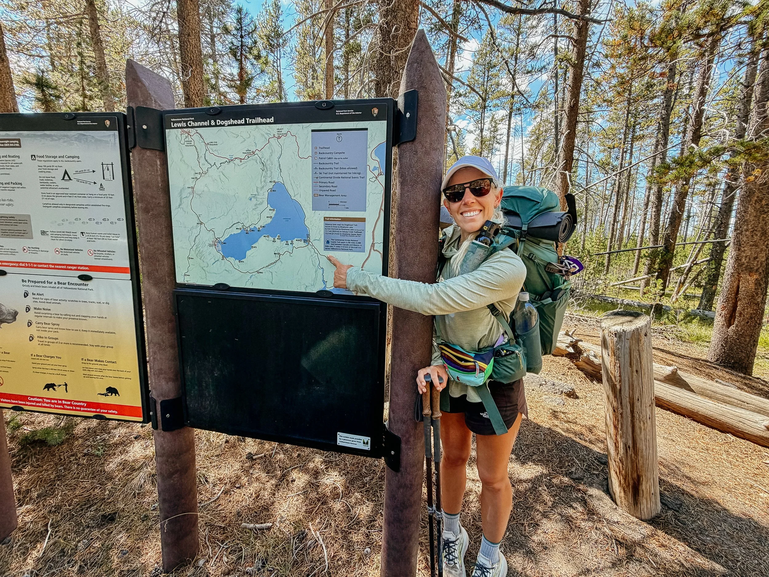
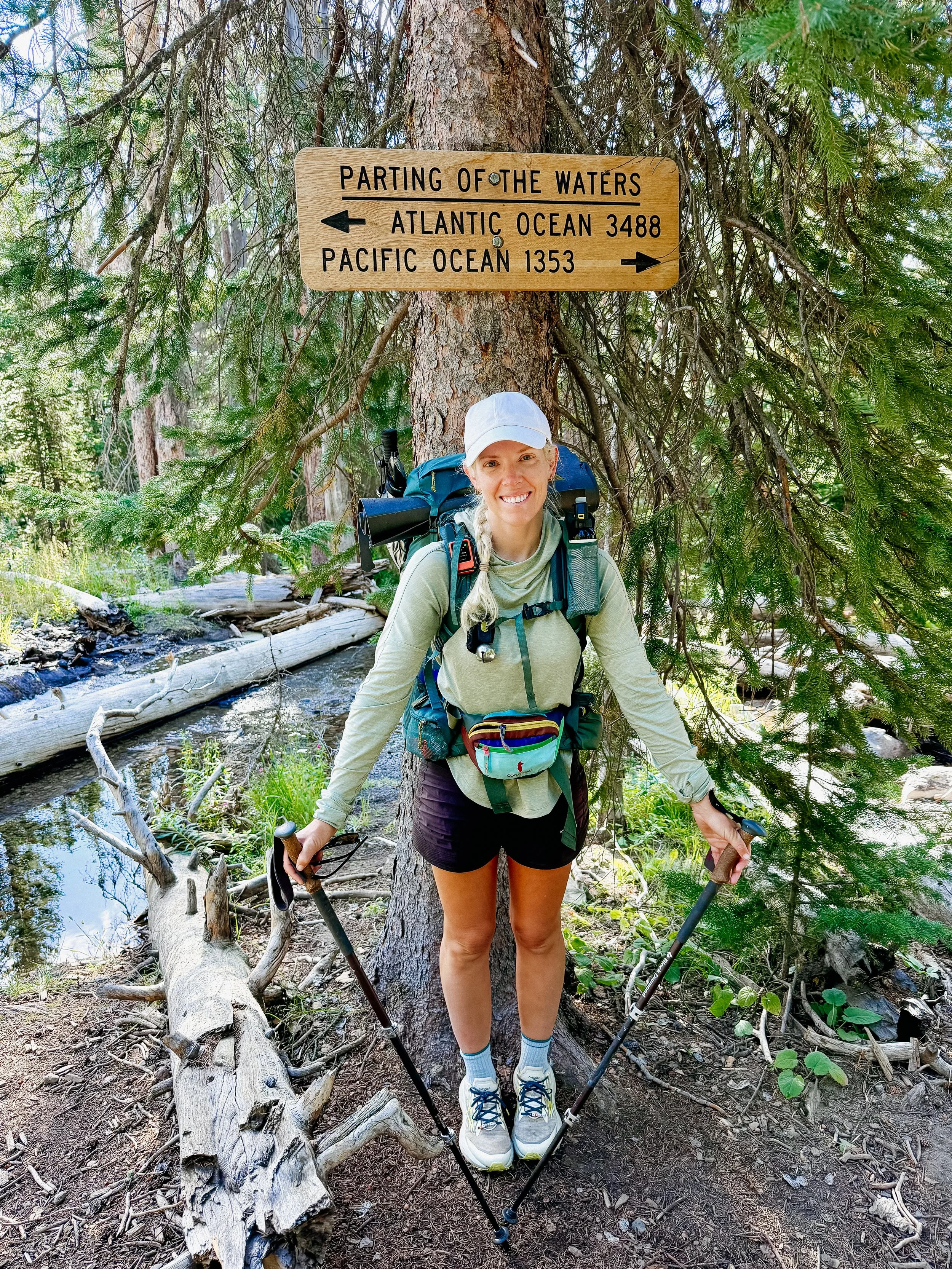
I quickly got to the main road crossing near Heart Lake. I took a picture with the CDT sign last year for comparison purposes, pictured below. Ran into a few other hikers near there and chatted with them - including a 2025 SOBO hiker.
More geothermal features greeted us just before the Heart Lake ranger station. We ate dinner on the banks of the lake and chatted with the ranger. It was a short distance to where we camped for the night! After such a long day, sleep greeted me quickly.
-
SLEEP: Camp at Mile 1065.4
MILES: 23.8
ELEVATION GAIN: 3691 ft
ELEVATION LOSS: 2392 ft
WEATHER: Sun, Perfect
OVERVIEW: Stunning hiking day
I woke up to the sound of a male elk bugling. It was early in the season for this, but I didn’t complain as I heard it rake over the meadow. It was another long day today as I exited the National Park.
I finished the hike around Heart Lake which then lead to a relatively flat section along the Snake River. It was a sunny, beautiful day on the cliffs overlooking this formidable body of water. Our lunch spot for the day was alongside this - a small beach front experience.
Soon after, I exited the National park and entered Bridger Teton Wilderness. This is also known for its beauty and wild nature. The last few miles flew by as we ran into other hikers. NOBO Plankton was a hoot just as we neared camp. A couple was already set up in the main tenting area but there was plenty of space. After a quick dinner down by the river, I tucked into my tent absolutely enthralled by the show of stars in the sky.
-
SLEEP: Camp at Mile 1094
MILES: 28.8
ELEVATION GAIN: 4186 ft
ELEVATION LOSS: 5322 ft
WEATHER: Sun, Thunderstorm
OVERVIEW: Canyons and Triple Crowners!
It was slated to be a full day of hiking so I got up and going early. There was a large climb immediately after crossing the rock hoppable Mink Creek. Though I typically dread inclines, getting it done right away in the morning makes it easier.
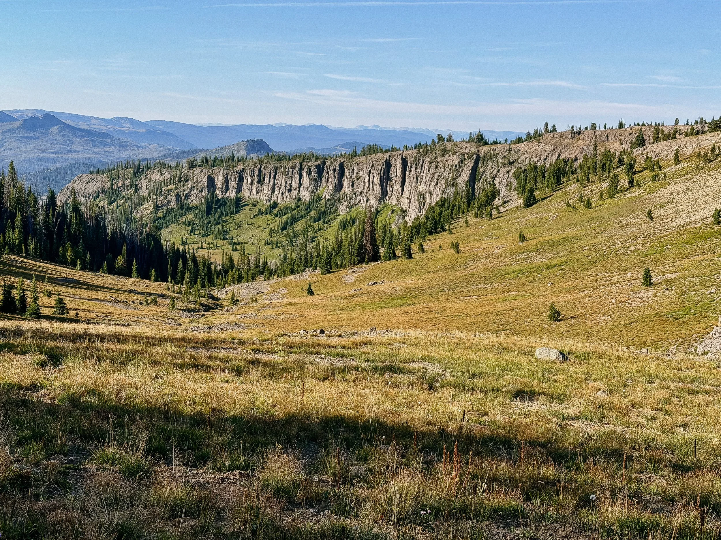
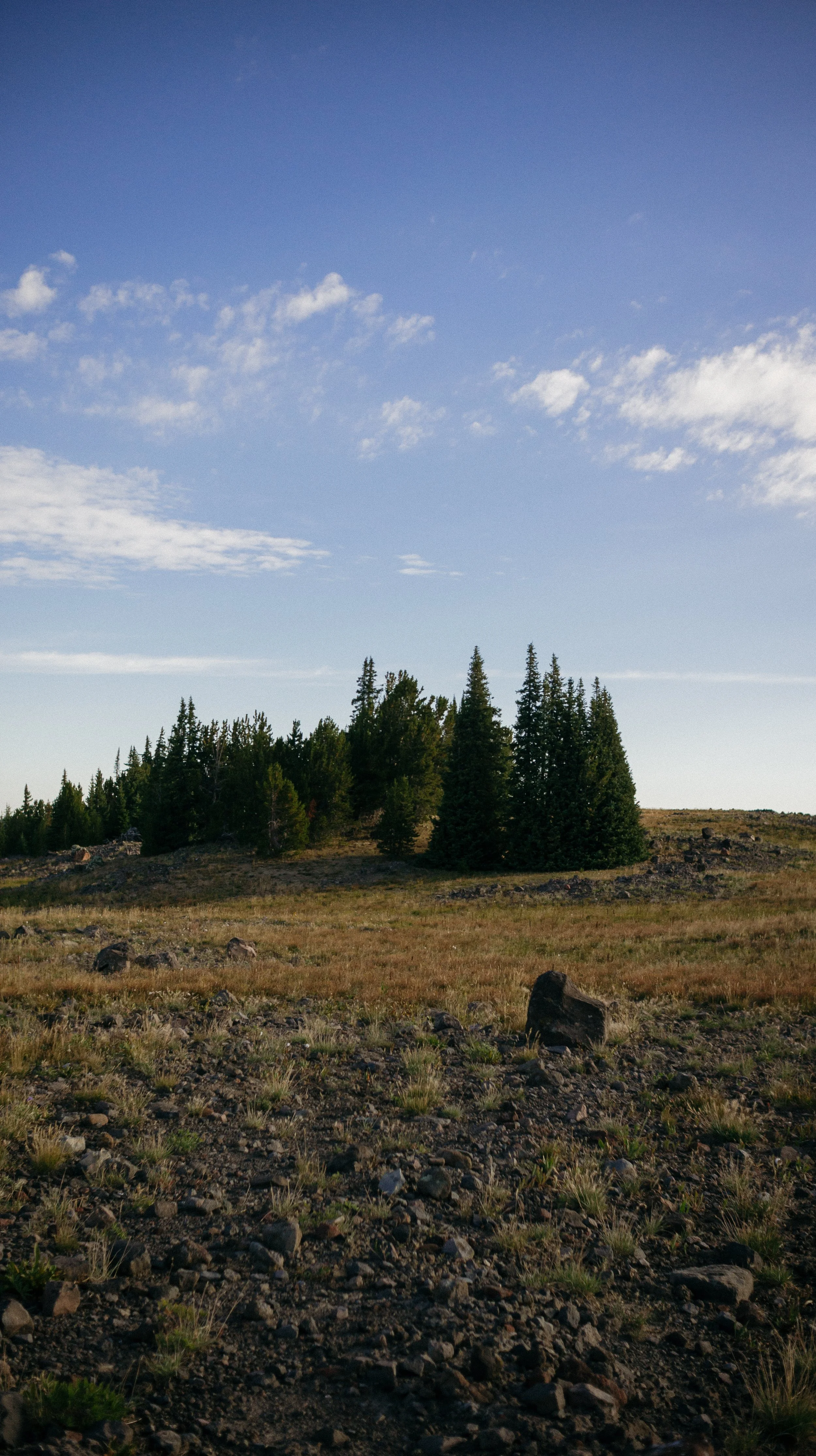
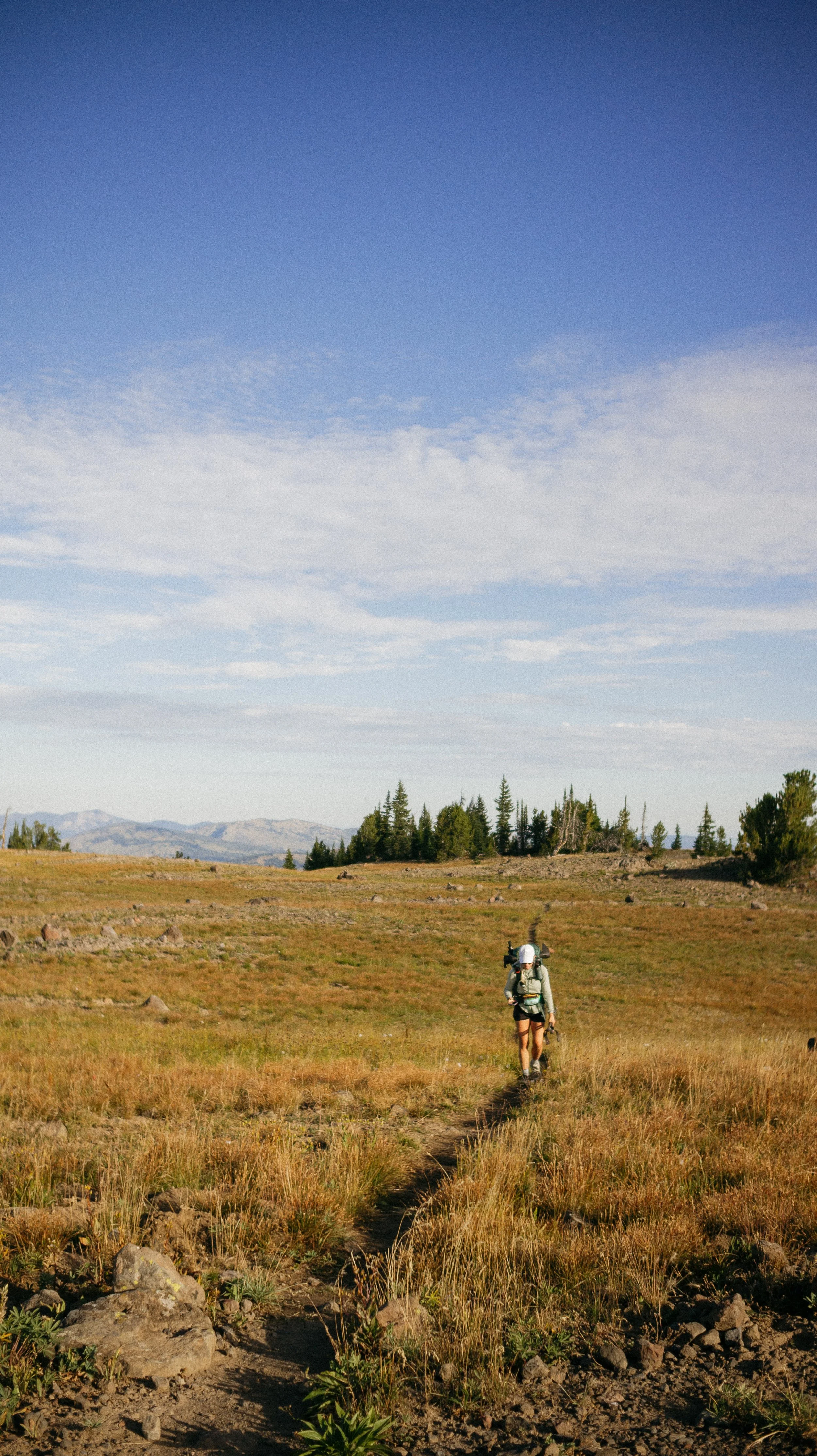
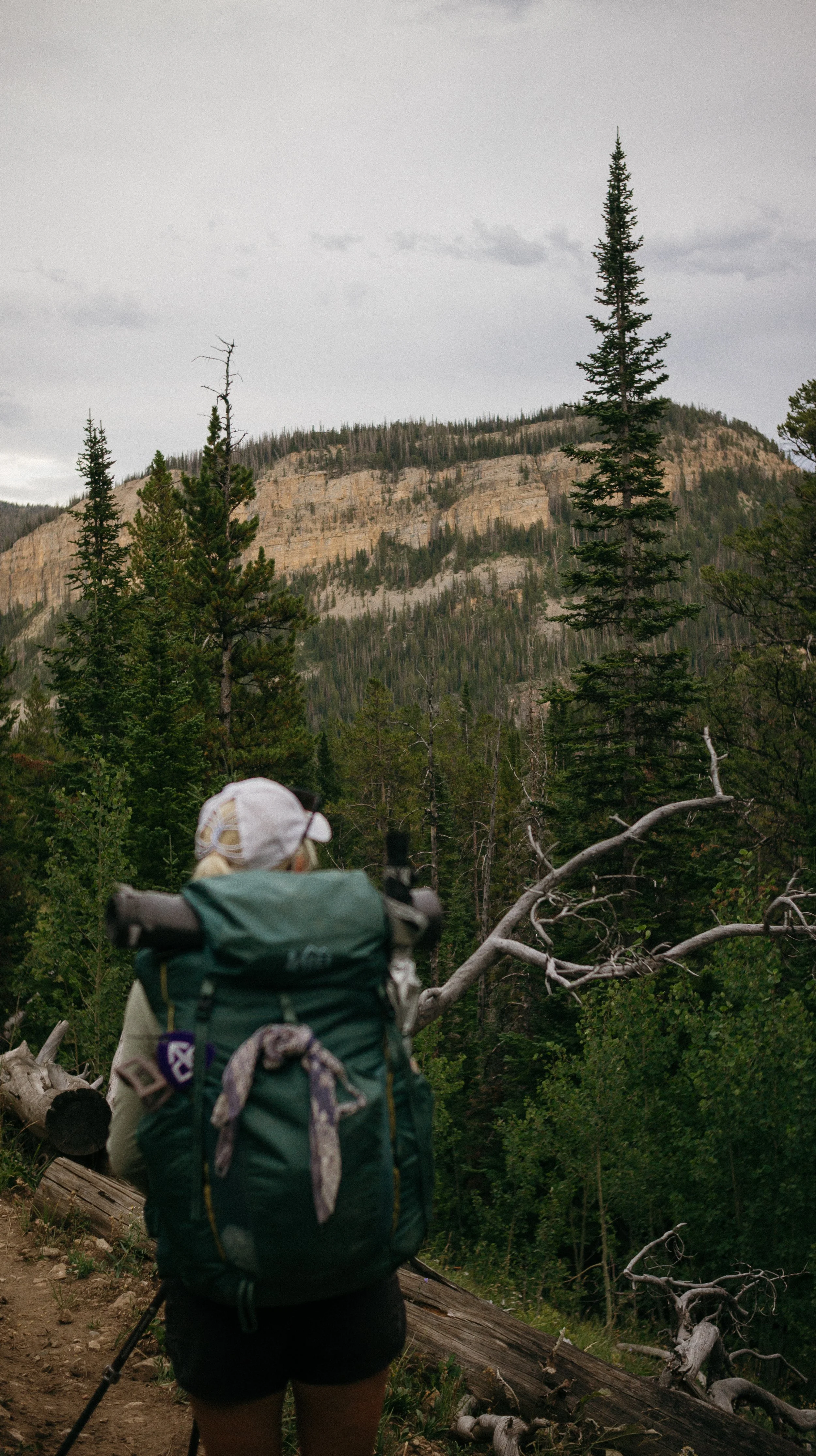
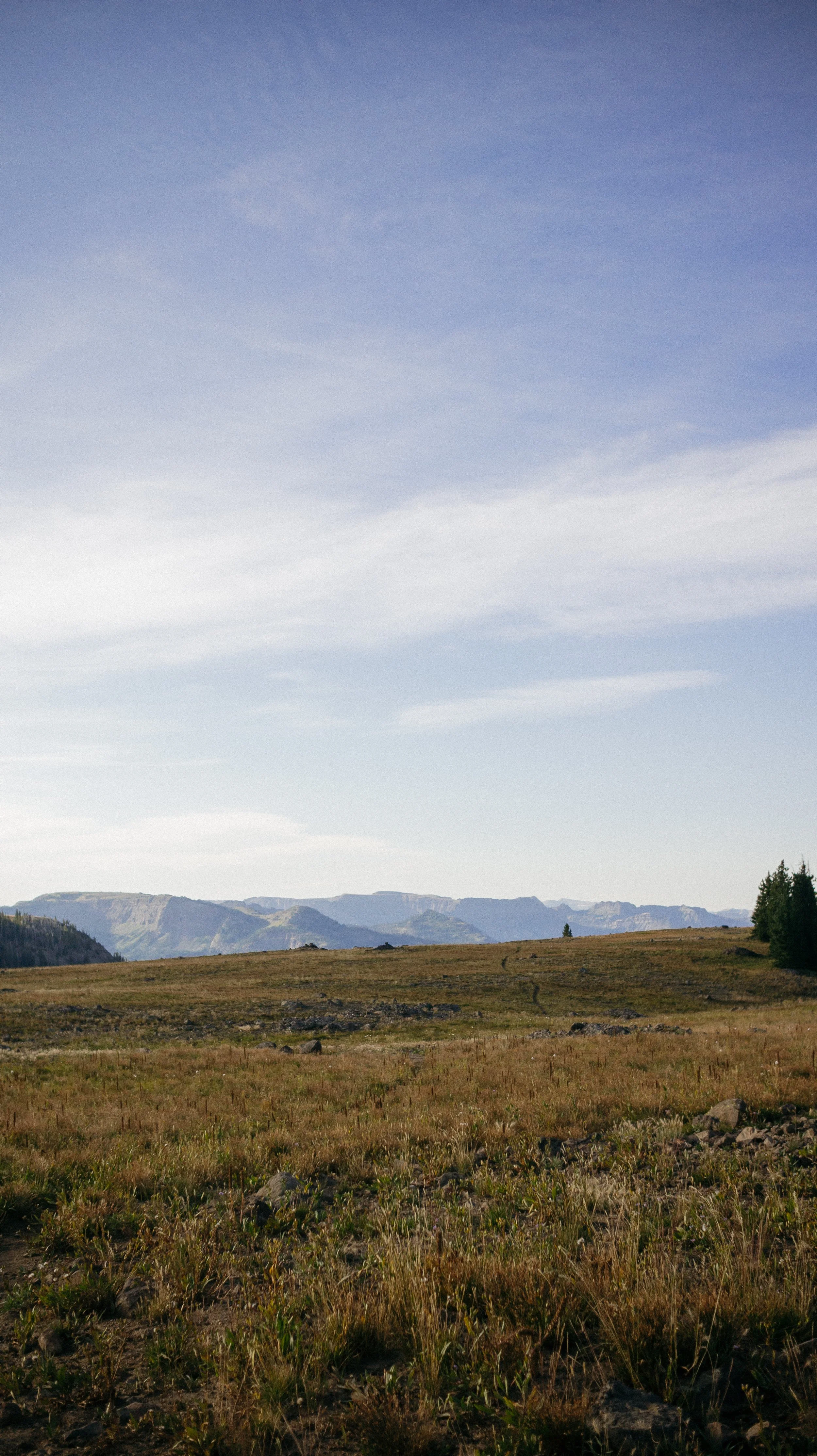
The climb dumped George and I out on to a bald reminiscent of the Appalachian Trail. There were expansive views from all sides including a panoramic view of the Grand Teton mountain range. There are many alternates that people take along the Tetons, but from the official CDT - views are beautiful! This was the first time hitting over 10,000ft in elevation as well.
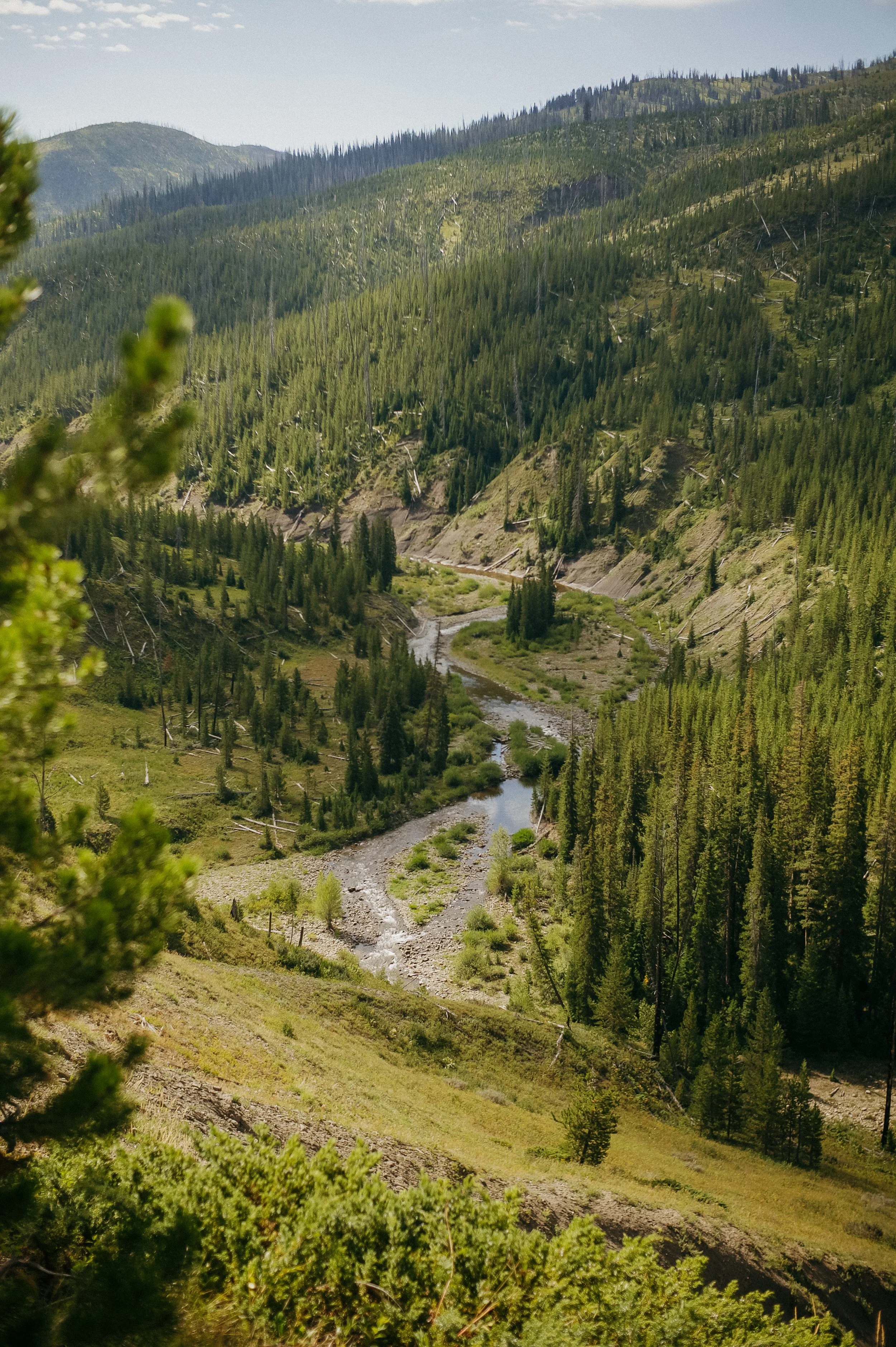
As if to undo all the work I just did, there was a steep descent into a meadow within a new canyon. We quickly ran into Fire Husband who was looking for their friend Bubblewrap. We hadn’t seen her but we would later!
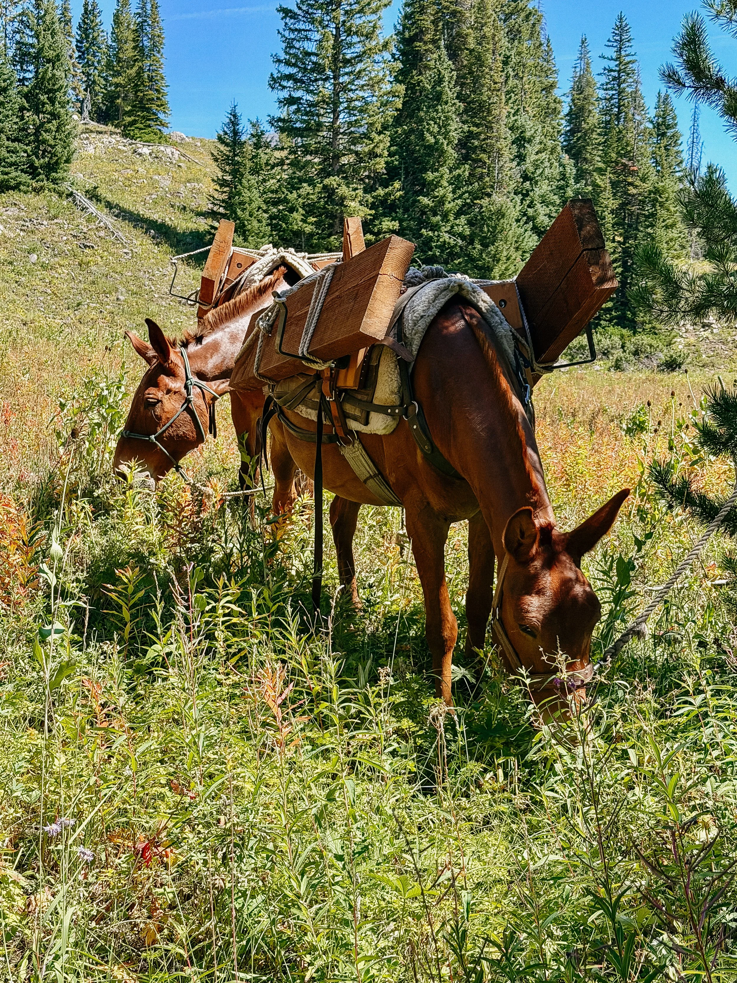
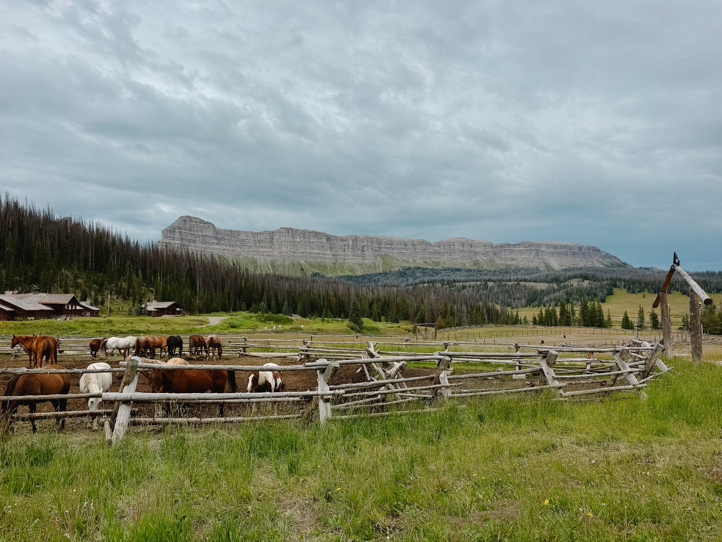
This canyon was frequented by horse tours and mule trains carrying building supplies. I ended up having lunch with a group of horses and mules which provided much entertainment.
The next bit was through a burn zone which is almost always depressing. I understand that wildfires are necessary but these huge blazes cause such destruction.
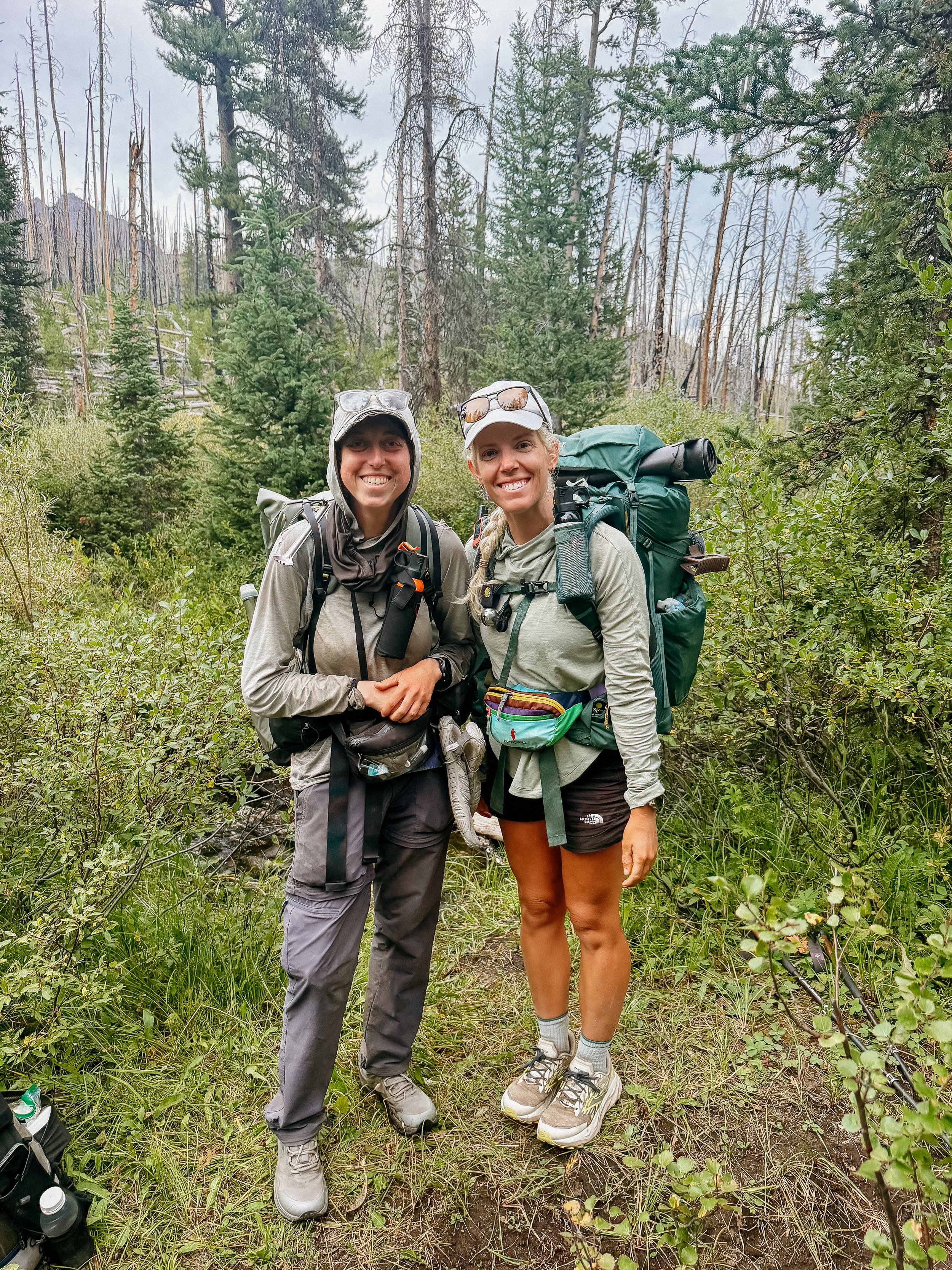
While at one of the last water sources of the day, Fire Husband and Bubblewrap arrive. Turns out she is doing a Calendar Year Triple Crown! I asked probably an annoying amount of questions but this is such an amazing feat that I had to know more. I appreciate them taking the time!
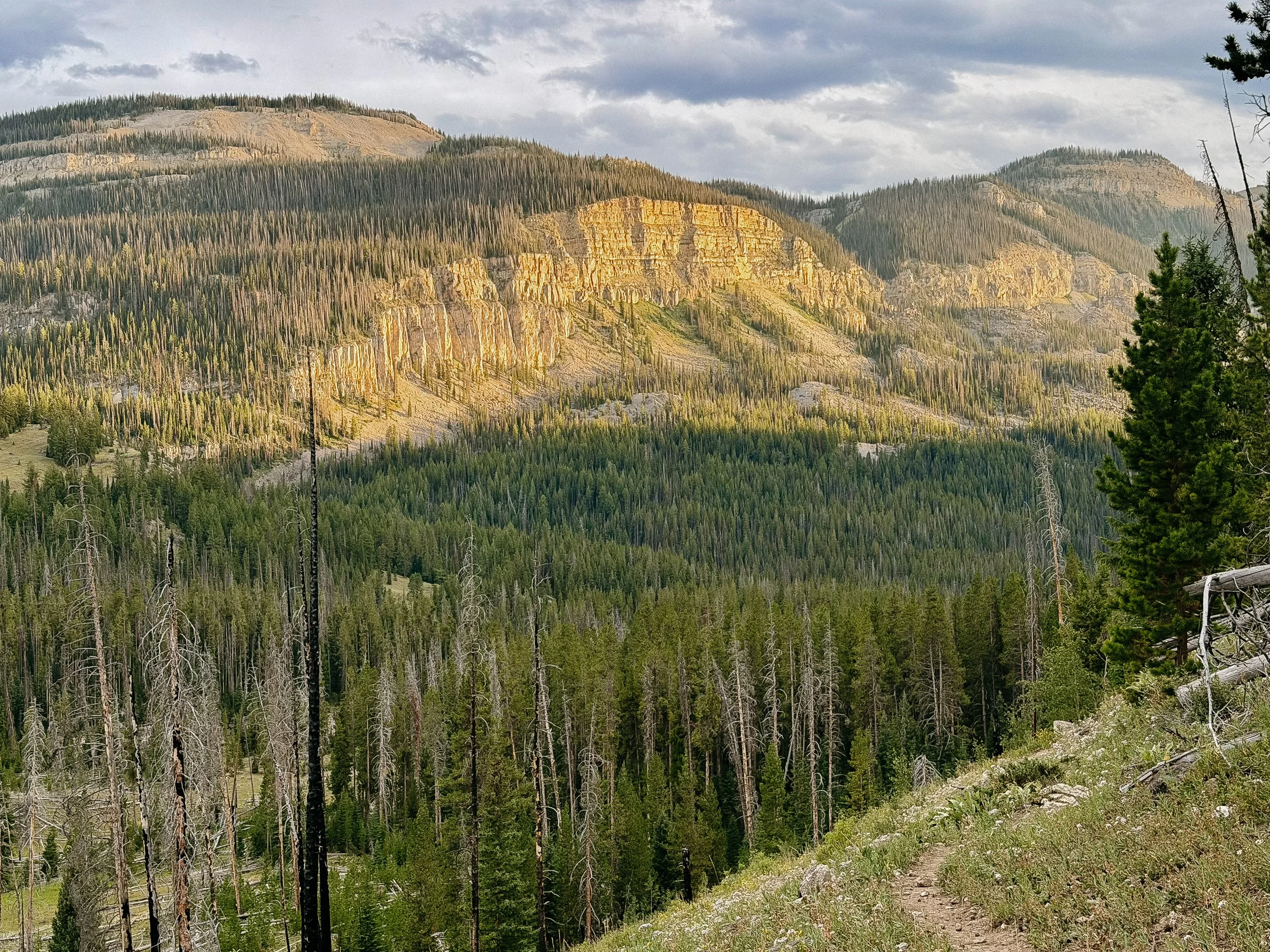
Sunset towards camp was in yet another canyon that was breathtaking. The last rays painted the sides in such golden colors, I had to just stand and stare. Delayed my arrival to camp but completely worth it.
-
SLEEP: Hotel in Dubois, Wyoming
MILES: 17
ELEVATION GAIN: 3317 ft
ELEVATION LOSS: 2096 ft
WEATHER: Sun, Hot, Thinderstorm
OVERVIEW: Hallelujah town day!
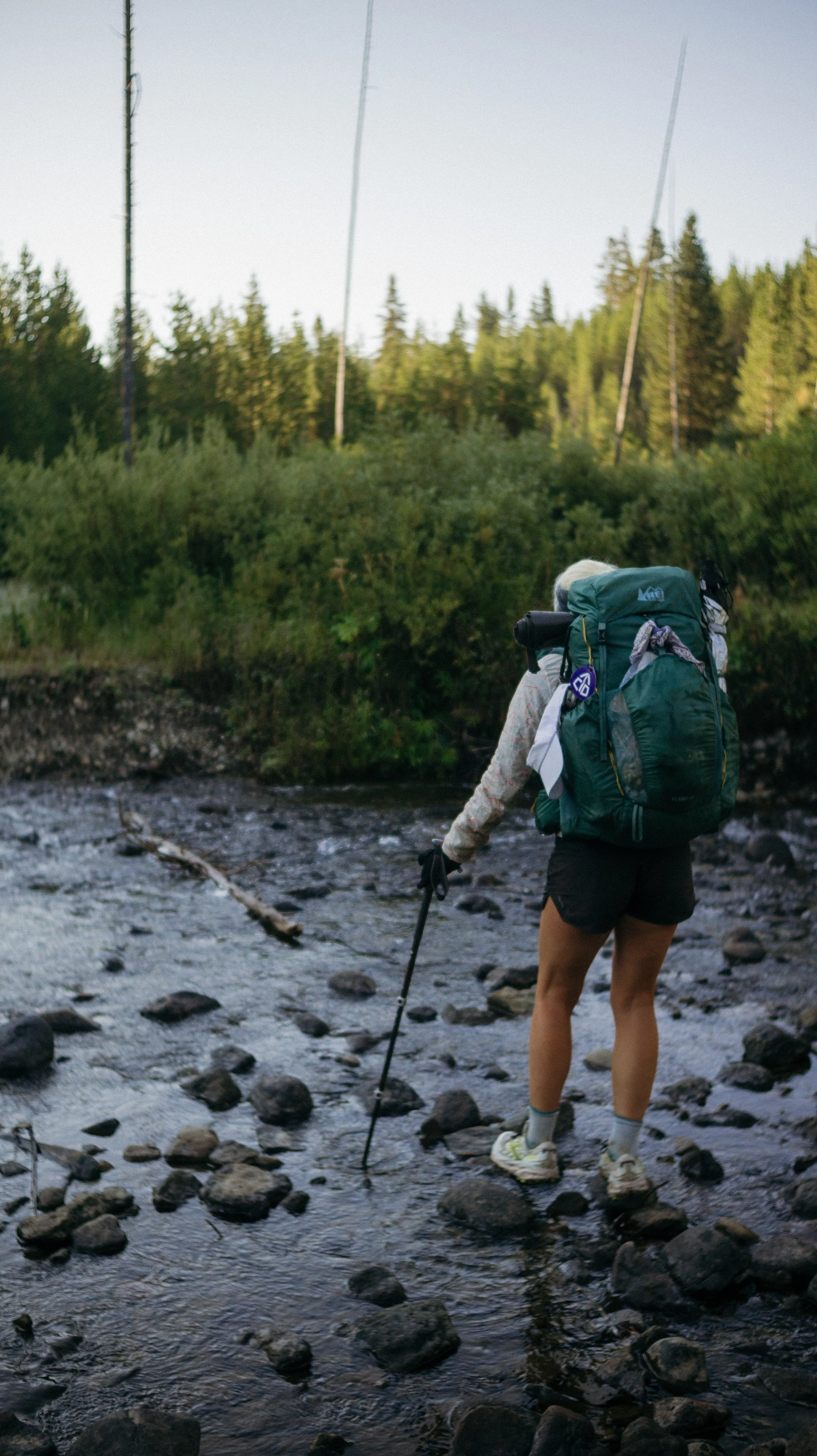
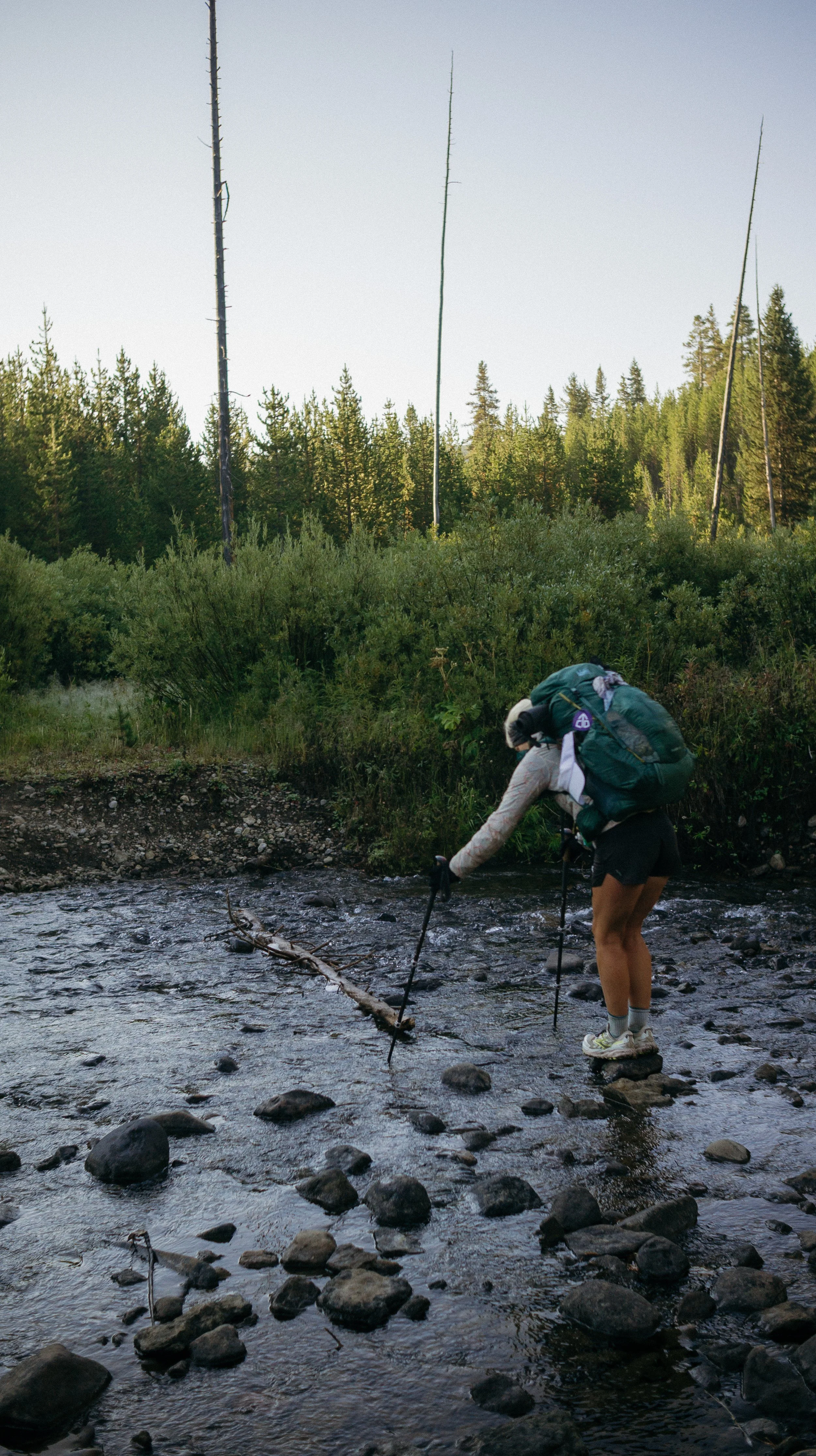
A twin to yesterday morning’s climb, this climb had the same elevation and grade. This began after a river crossing that I had to take my shoes off for. Just on the other side, I discovered more campsites… should have gone there instead.
The climb went smoothly and it popped me out to the Brooks Lake area which was covered in day hikers! We stumbled out of remote wilderness near a lodge that hosts many folks. Though I was going into Dubois, this would have been a great option for a resupply box if you were short on time! The rock formations in the area were stunning.
Once (finally!) at the highway, we got a hitch with Pat who was oh so kind! He dropped us off in town and I quickly inhaled a gluten free pizza. Accommodation in town was more expensive than I thought but it of course happened to be a Saturday in the summer so what else did I expect?
Storms raged on and off much like the monsoon season continued to do. George and I were stuck at the grocery store for a bit to let a deluge finish up before the long walk back into town.
I would have had a great nights rest but Lord of the Rings was on TV…
GALLERY