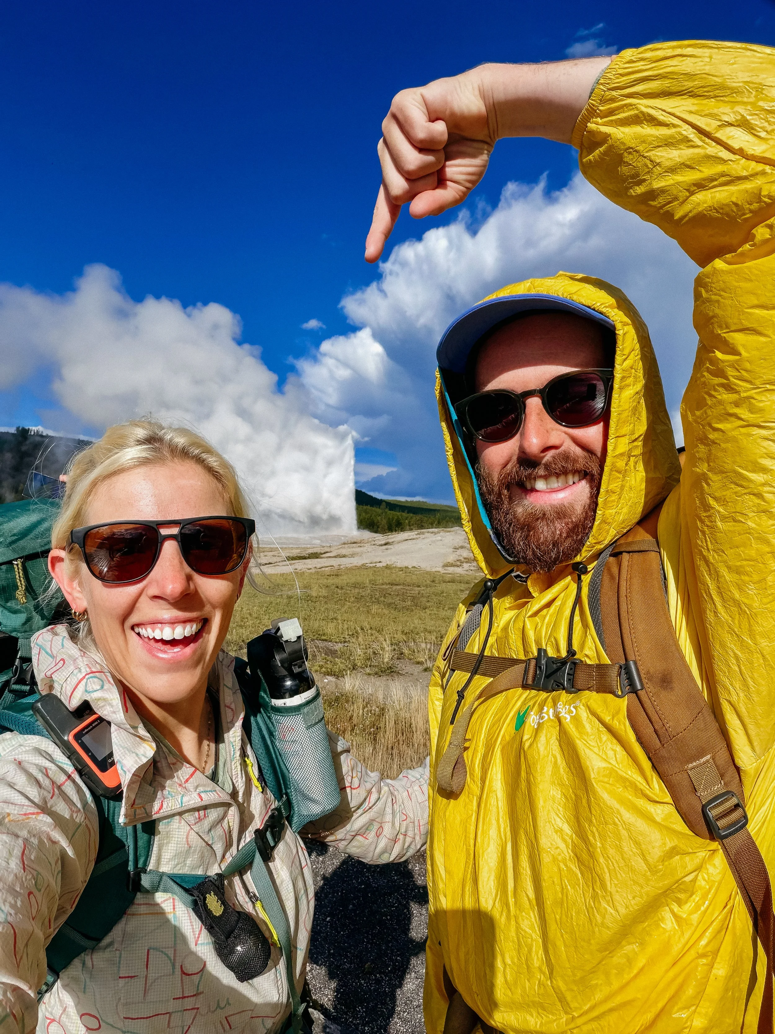
Continental Divide Trail: Lima - Old Faithful
INTROThe Continental Divide Trail is a National Scenic Trail spanning approximately 3,100 miles from Mexico to Canada (or vice versa) through Montana, Idaho, Wyoming, Colorado, and New Mexico, following the geological continental divide.
NOTE
I am hiking the Continental Divide Trail southbound from Canada to Mexico. This trail will complete my Triple Crown of hiking, which includes both the Appalachian Trail and the Pacific Crest Trail.
Unlike the Appalachian Trail and the Pacific Crest Trail, the Continental Divide Trail is somewhat of a choose your own adventure. Alternatives routes, and A variety of options allows this trail to be more fluid. I will do my best to explain the routes that I take in the detailed section.
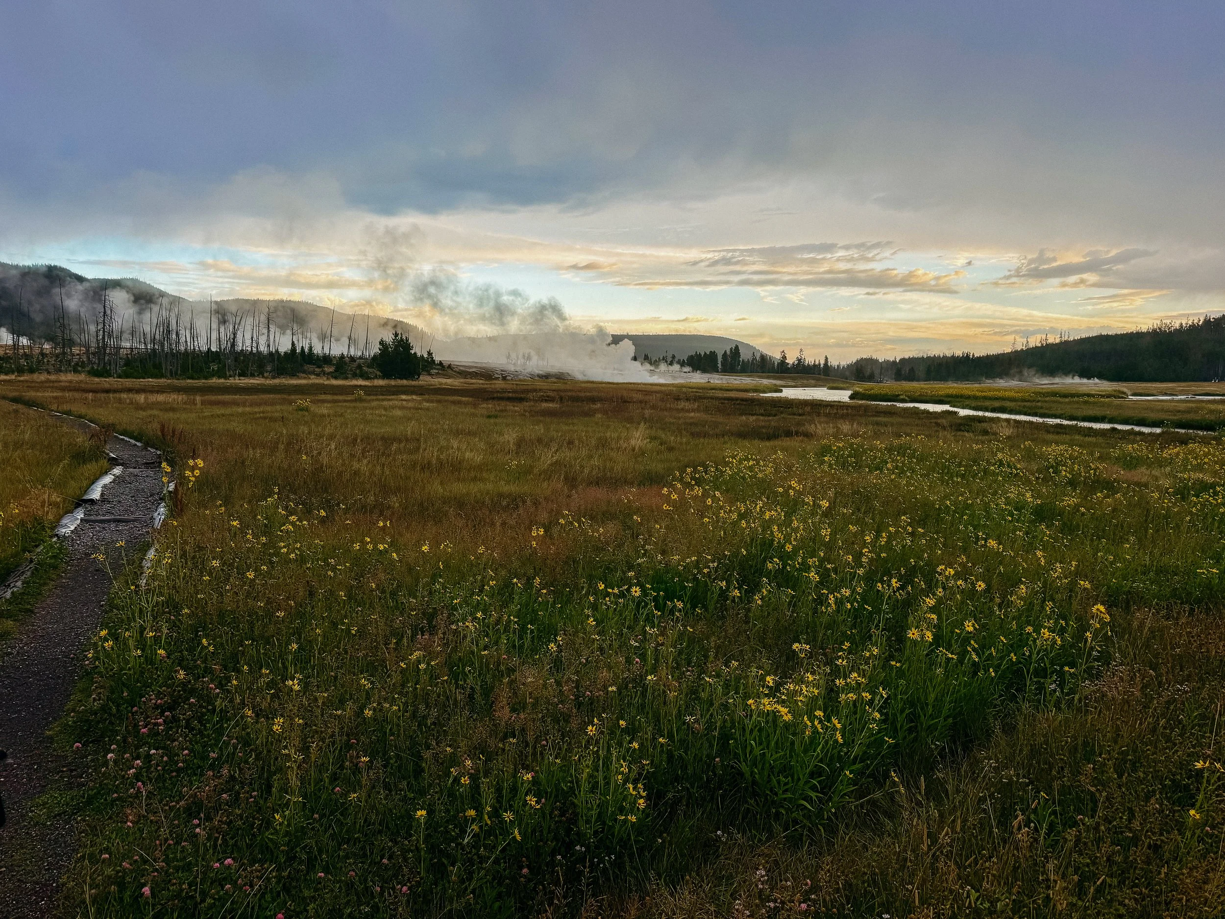
Sunrise over geothermals
Day 49 - 54 took me from Lima, Montana to Old Faithful, Yellowstone National Park in Wyoming. This section will be remembered for all the times I had to run on a ridge from a thunderstorm or shelter from a deluge. A few large milestones as well like crossing into Wyoming, hitting 1000 miles, entering Yellowstone National Park, or embracing the Old Faithful Lodge breakfast buffet. This was a transitional part of the trail and it felt brand new.
OVERVIEWTOTAL DAYS6
FULL HIKING DAYS3
zeroes0
neroes3
TOTAL ELEVATION GAIN16,574 ft
TOTAL ELEVATION LOSS15,466 ft
MILES COVERED96.1 miles
-
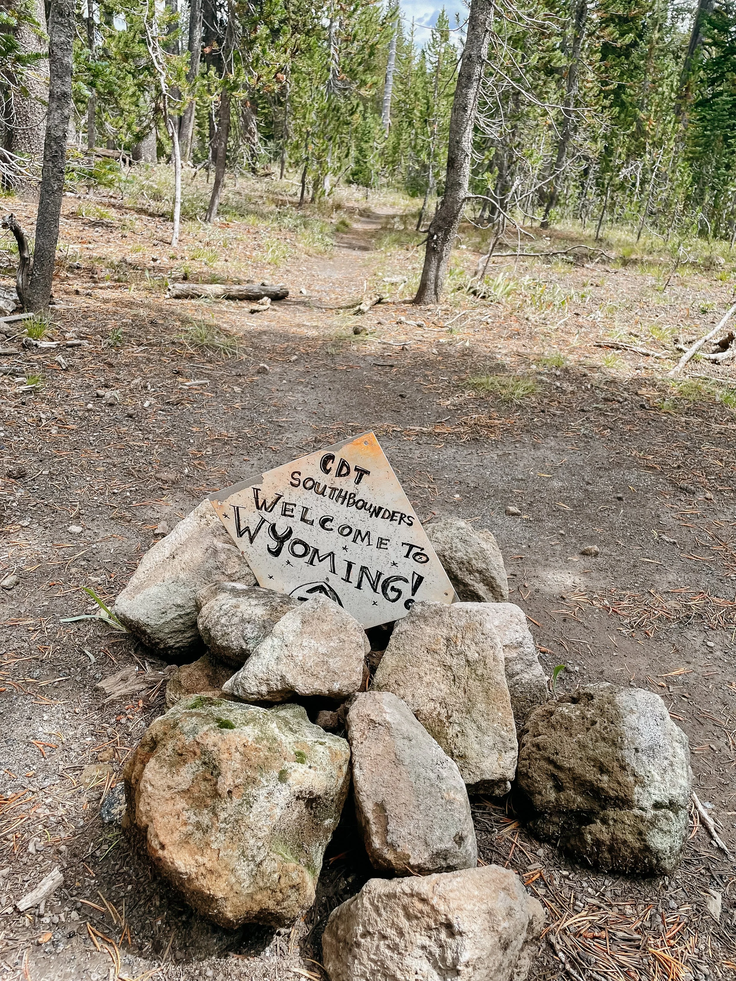
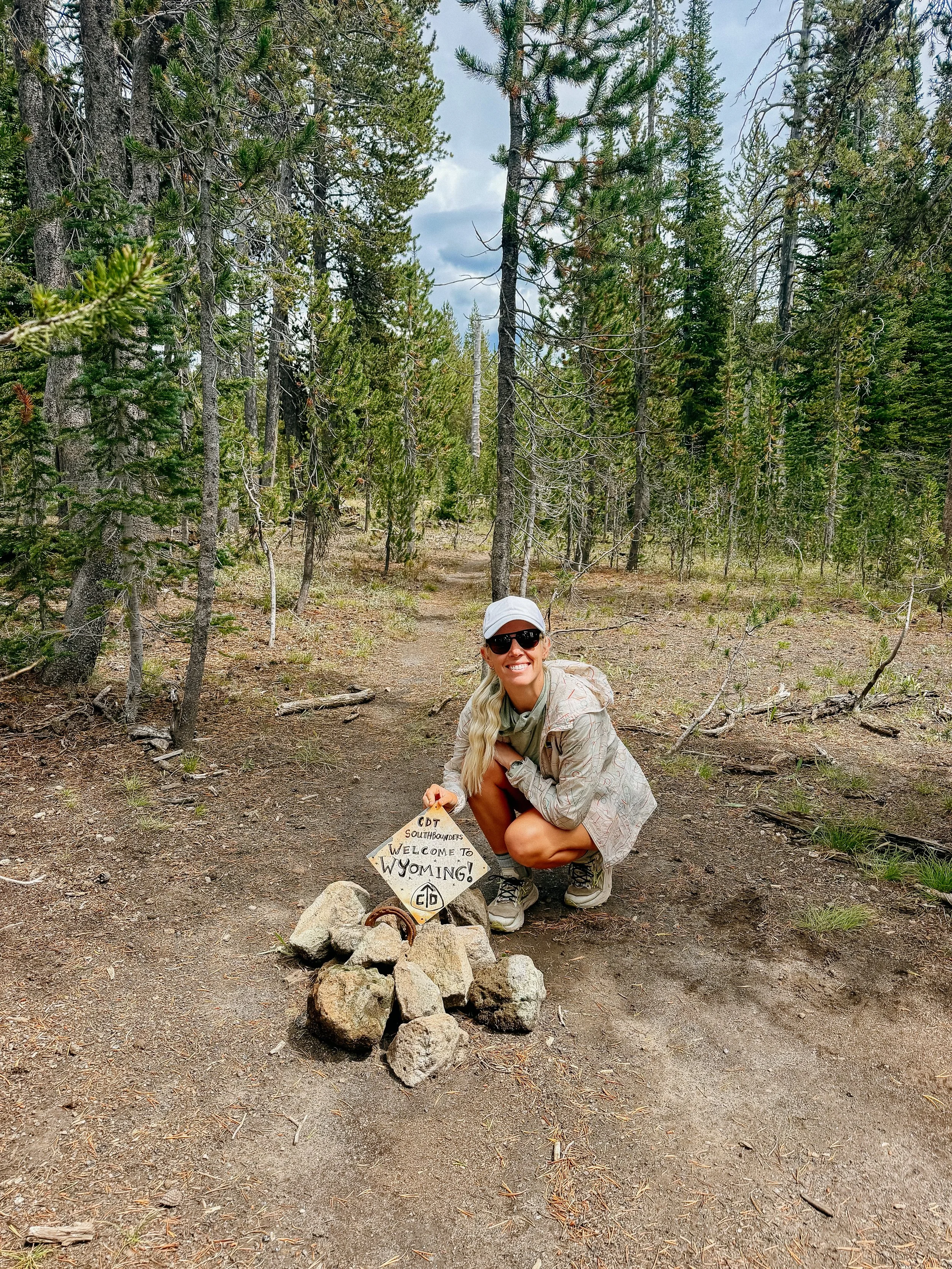
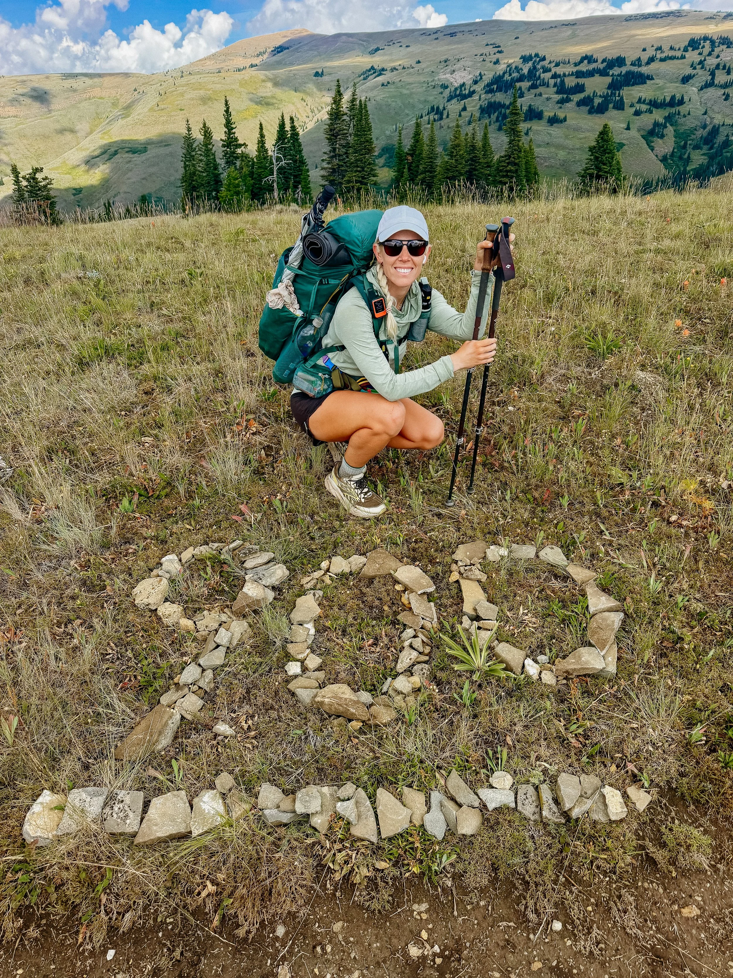
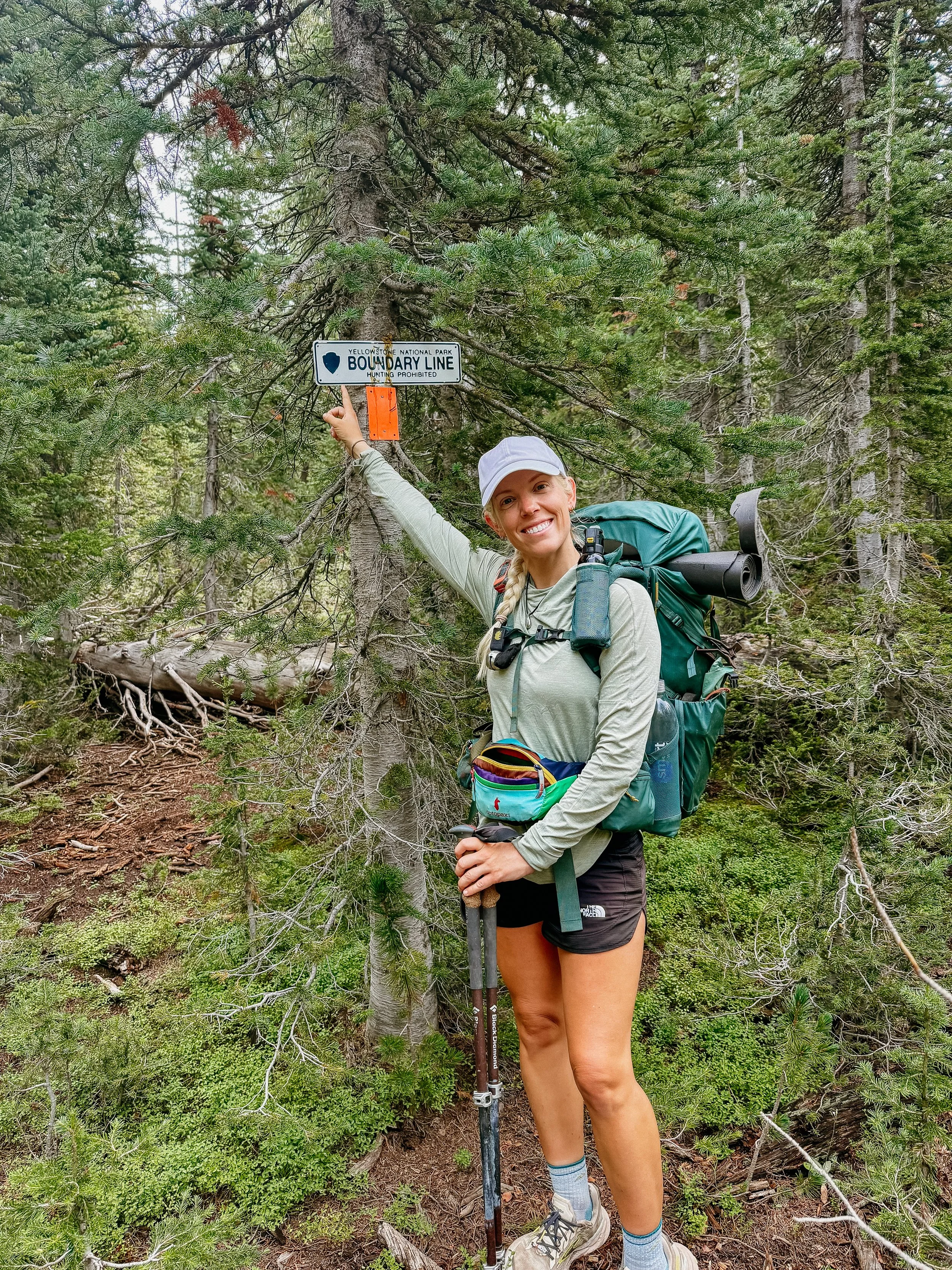
Crossing into Wyoming and hitting 1000 miles!
Whole day at Old Faithful area - yellow breakfast buffet!
Trail Angels continuing to prove there are kind humans in the world.
-
Constant storms meaning gear is always wet.
Frustrating disappearing trail.
Loud other hikers not respecting hiker midnight (9:00pm)
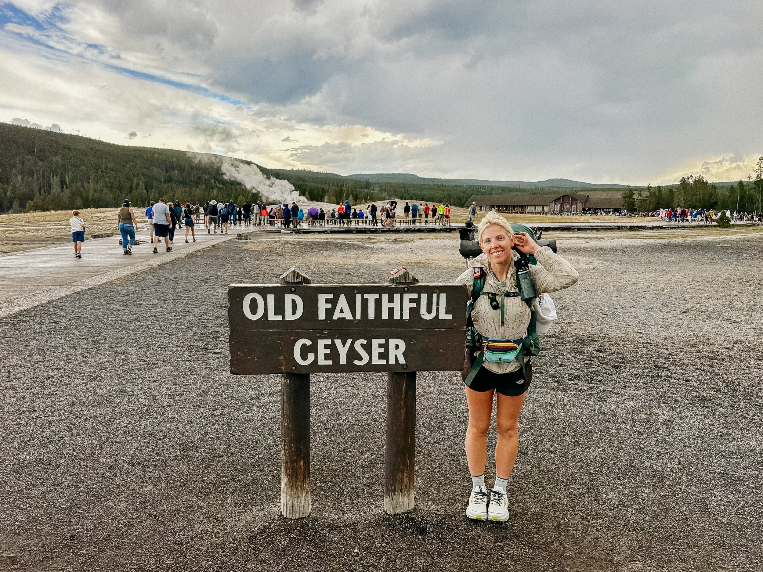
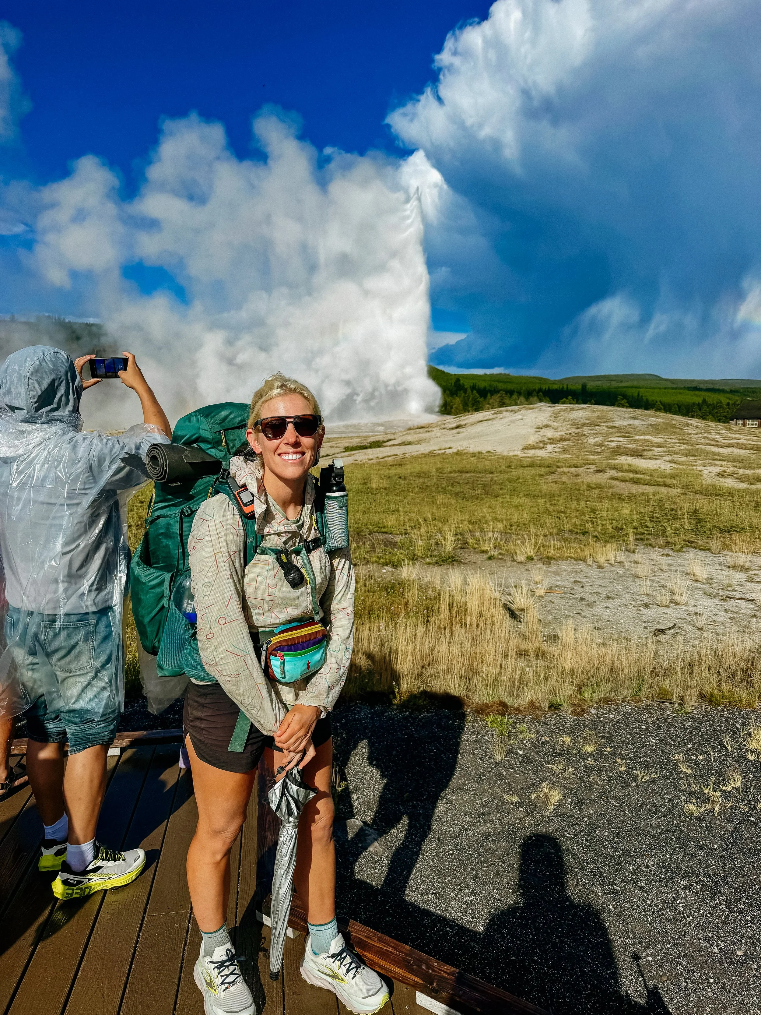
The CDT goes in front of Old Faithful
In Depth
-
SLEEP: Camp at Mile 867.7
MILES: 7.4
ELEVATION GAIN: 1673 ft
ELEVATION LOSS: 344 ft
WEATHER: Storm, Rain, Cold
OVERVIEW: Trail Angels are literal angels
Waking up in Lima, I was still pretty nauseous. But after a quiet morning, some oatmeal, and a lot of hydration I started to perk up a bit. I exited the room directly at checkout time and made my way to the lobby. The mother of the owners of the hotel was there and she was too kind. She gave us an apple and fun stories about the trials and tribulations of refurbishing and owning a motel.
Another customer just checking in came in named JoAnne. She was gregarious and all too kind as well. She offered a ride back to the trail, which he said yes, and that she would be back in an hour to come grab us. In that time, while she was getting ready for a family reunion, she managed to collect me gluten-free snacks. On the ride was a great time to hear all about Lima, which is a small community. She told us stories of some of the residents there and how intertwined everyone is.
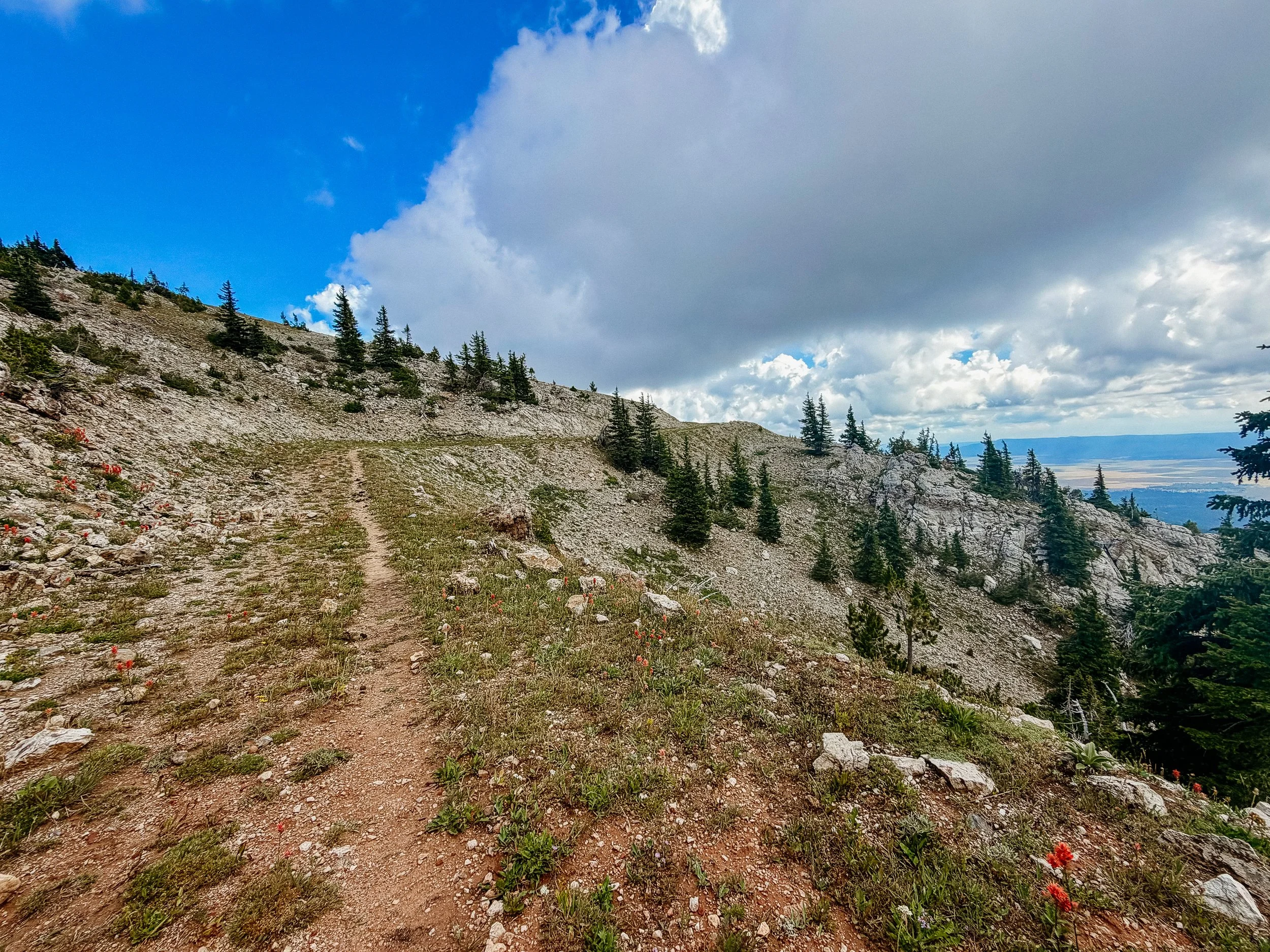
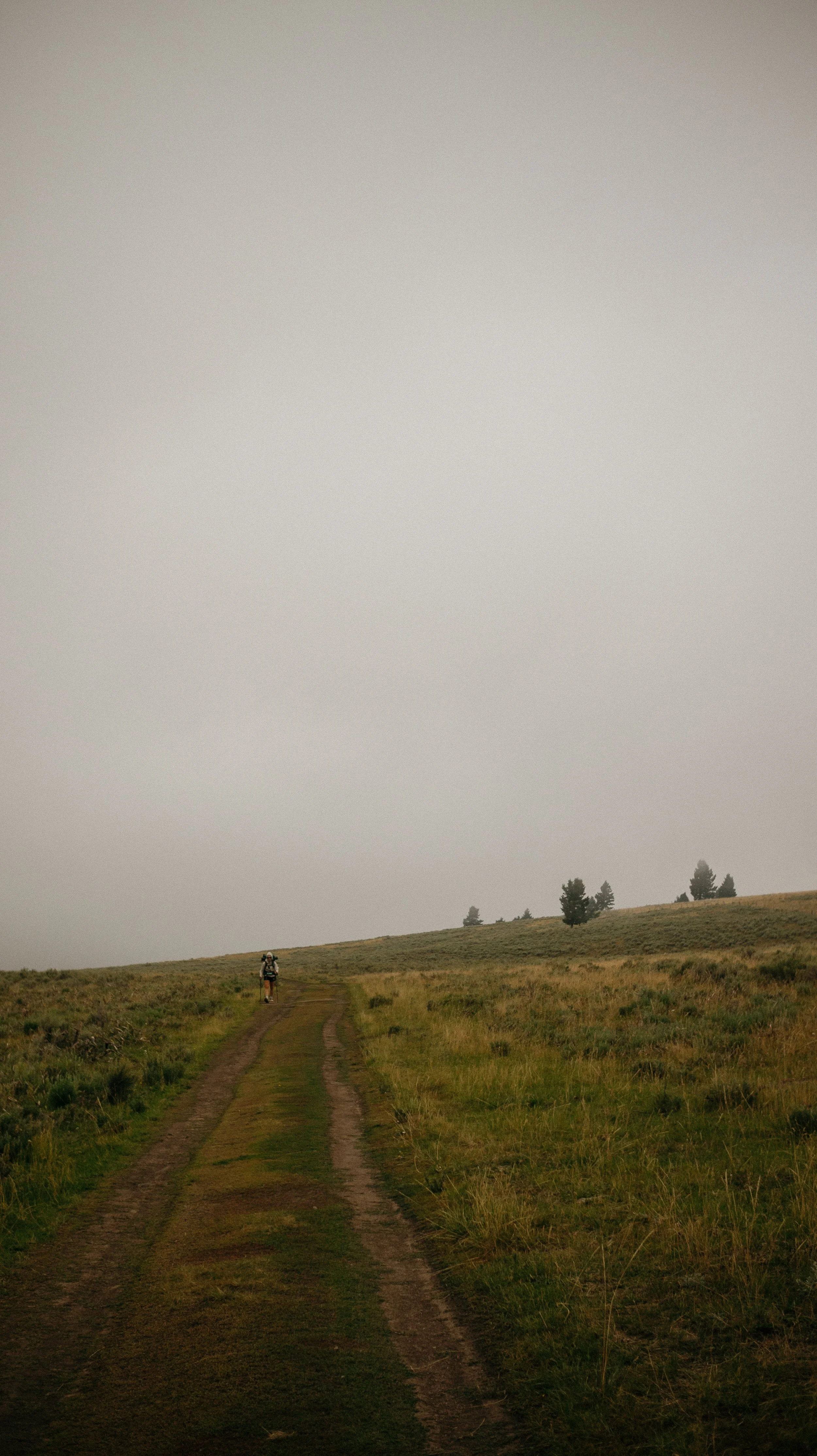
George and I continued on the trail (currently was a road) and there were some steep bits. The monsoon season continued to deliver afternoon and evening storms. Though it was a short day, we decided to set up our tents earlier than we originally planned. At elevation we were at, the trail was in a cloud with sincere wind. I did not want to start this section completely wet and cold so early set up was required.
I was thankful for this as somewhat soon after I finished dinner while in my tent, the rain really came down.
-
SLEEP: Camp at Mile 891.5
MILES: 23.5
ELEVATION GAIN: 5007 ft
ELEVATION LOSS: 6155 ft
WEATHER: Storm, Rain
OVERVIEW: Elevation + Rain?
The weather had cleared up overnight and though I was still in somewhat of a cloud, it was much more agreeable hiking. The day held a lot of elevation gain and little water for the first half of the day. Morning miles always seemed to be easier than afternoon miles so I pushed to get those initial climbs done quickly.
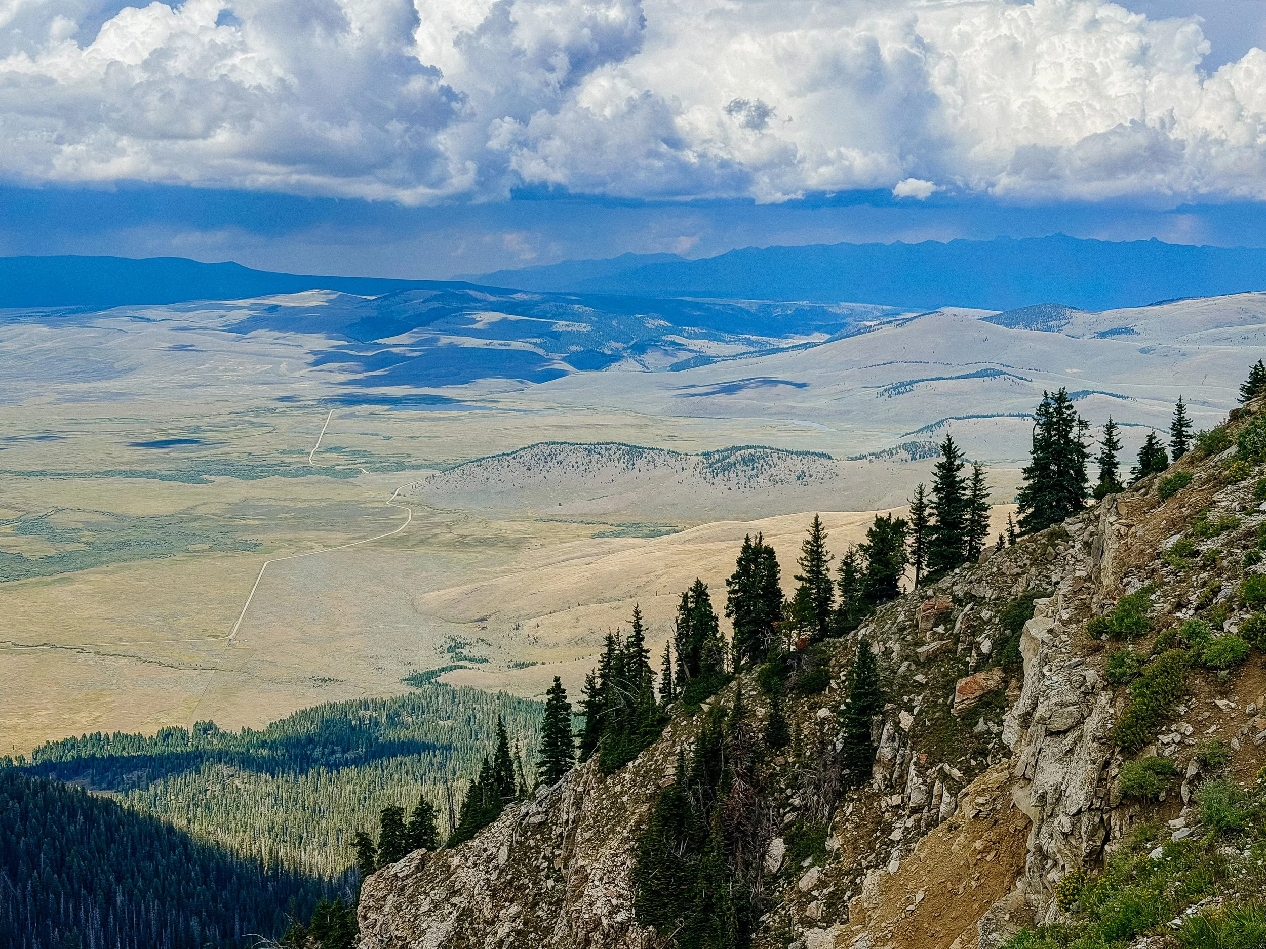
After running into several northbound hikers, I found myself at a water source with an expansive view where I could start to see more severe rain/clouds for me. I had a bit more climbing to do so I hurried over a climb that led into a large new canyon or valley. The raincloud that I had seen on horizon turned into thunderstorms so I had to hunker down. George was some ways ahead of me, but both of us knew what to do when a thunderstorm hit in high elevation.
I tucked into a clump of trees with my rain jacket, pack cover, and umbrella as I waited out the storm. It seemed to dance on top of the canyon I was in for some time. In total, I stopped and waited for an hour and a half. The storm also produced hail so I’m thankful that I had an umbrella is even with the clump of pine trees covered - it was painful. I guess this was monsoon season?
A break in the storm came and I packed up quickly and within a mile and a half found George. He had set up his tent and hid from the storm there cause he had less tree coverage at that point.
There was one final climb for the day that was on an exposed ridge with another impending storm coming in. The rest of the day afterward would be a descent to a trailhead that had a pretty bathroom that I could sleep in to save me from the hail and rain. George and I essentially ran up this last climb with thunder and lightning around us and I soon got into the trees on the other side. This storm persisted for some time and we gave up all pretense of trying to stay dry as the rain poured. The thunderstorm continued, but because I was in trees it was safe to hike. A nice deluge came just as we were getting to the trailhead and camping area.
As I could see the privy in the distance, I also could see that there were other people already in the privy.
Dimps and Sunsine from all the way back from Bob Marshall wilderness and glacier were there tucked into inside the bathroom. George and I then also tucked in underneath the covering at least to have dinner. We caught up with stories how the trails been treating us and got tabs on other hikers we both knew.
Other than the constant rain that we had to set up tents, I knew we were gonna get wet overnight with it was actually a fun evening.
-
SLEEP: Island Park Alt
MILES: 24.4
ELEVATION GAIN: 5262 ft
ELEVATION LOSS: 4541 ft
WEATHER: Storm, Rain, Heat?
OVERVIEW: More hail? lol
Rain persisted throughout the night and everything was wet. Tents, sleeping gear, and all of our clothing was wet. This does not bode well for staying safe ie dry and warm later on.
This day held a lot more elevation gain, but a few of the climbs were appropriately graded. There was also some changes in the rock formations initially, looking like sections of a Utah desert. Then at the top of the climb a rocky outcropping that looked like peaks much higher than we were actually in elevation.
Near the top of the climb, I could see another thunderstorm coming far away, so George and I picked our lunch spot again in a clump of trees. Thunder boomed seemingly on top of us. But because I was having lunch, this didn’t feel like too much of a event that caused a time constraint.
On the opposite side of the mountain after we summitted, I ran into many northbound hikers. They gave some good trail Intel for the Yellowstone section that was coming up in a couple days.
About an hour away from camp I got caught in another thunderstorm/monsoon. This one unlike earlier in the day provided a lot of hail. Though I have a sun umbrella primarily for sun, it has been very helpful in rain on the Appalachian Trail and hail on the Continental Divide Trail. This storm lasted for about 45 minutes which really set back the arrival time.
This was the point where the trails split into the red line traditional route or the blue line that was marginally shorter, but had a lot less elevation. I opted for the blue line to catch up some time because I was already thinking about winter hitting southern Colorado.
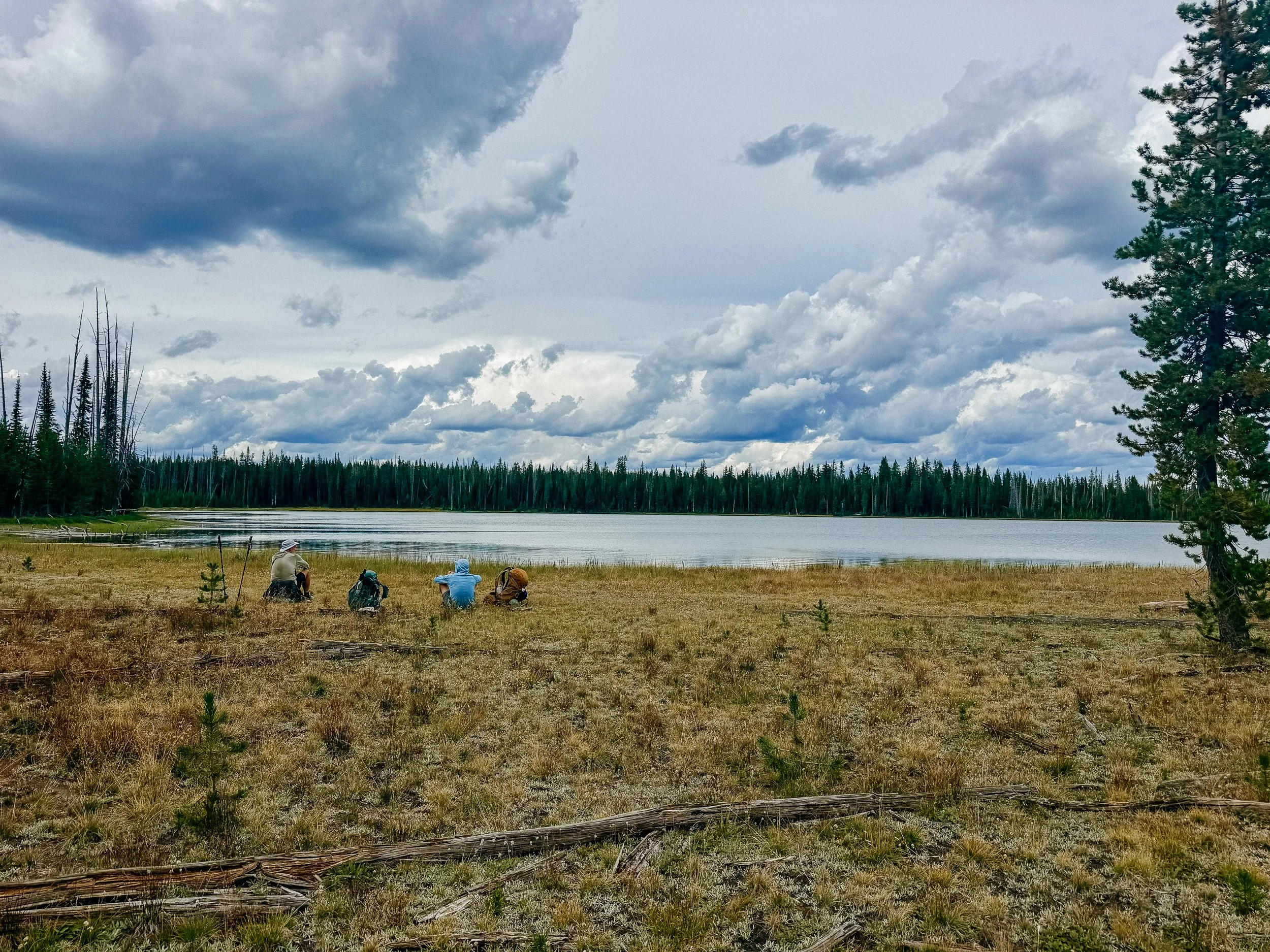
I camped near a lake and set up camp just of course, as it began to downpour again.
-
SLEEP: Island Park Alt
MILES: 10
ELEVATION GAIN: 1985 ft
ELEVATION LOSS: 1785 ft
WEATHER: Rain, Sun
OVERVIEW: More perfect trail angels
Everything was wet. Not only had it rained on and off throughout the night with the level of condensation being set up in grass next to a lake is a recipe for a rain shower inside my tent. It also has to be very cold, which added to the day.
I was on the blue line (alternate) for Island Park/Macks Inn rather than the red line going to West Yellowstone. I’ve been to West Yellowstone a few times and would just prefer to get into Yellowstone National Park proper.
It was only about five and a half miles to get to the road walk portion of this hike and this was some of the toughest five and a half I’ve ever hiked. The trail appears at one point and becomes a full foliage. Because it rained all night everything wet so I am running myself to a car wash. The climb for the trail was steep and kept disappearing.
Nearing the top of the climb for the road walk we began to see weekend hikers. I met two perfect Australian shepherds that made me miss my sweet Roo girl more than I could handle. By the time we got to the road, I had average less than two mph. With a planned 29 mile day… yikes. George and I decided that we would walk a few more miles at least and then on this not super well trafficked road stick out of thumb and see if we can get into town a little bit early. There was a Mexican restaurant calling my name.
For some reason, the stars aligned and we did not stick out our thumb to hitchhike for the first few cars. It just didn’t feel right. But we did for the following car and they stopped and these were lovely Trail Angels. A family out for a Sunday drive, took into wildly wet and smelly hikers into their Subaru (of course!) and completely turned our day around.
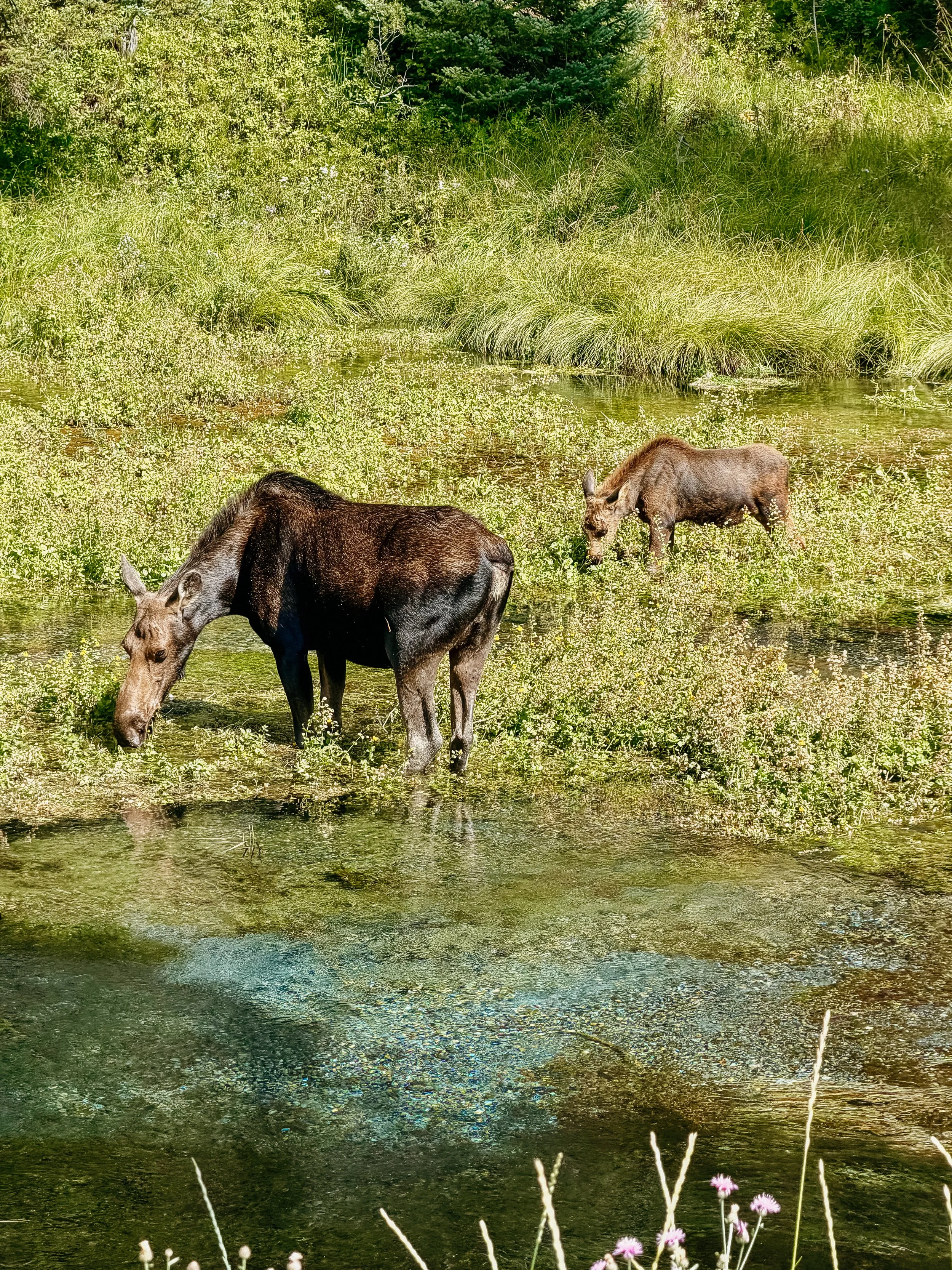
They have a cabin in Island Park, which they offered to let us shower and do laundry while we were eating Mexican food. And then they would take the time out of their day to drive us as far down the road as possible as they could to cut out some more of the road walking. We were able to hang all of our stuff out to dry because it was a sunny day aka all sleeping gear was dry within an hour. Then along the drive out of town, they took us briefly sightseeing where we saw a beautiful mother and baby moose very close. Along the road we picked thimbleberries as we giggled about the next adventures coming up. Then they dropped us off as far as they could leaving less than a mile left in our day to get to the water source where I plan to camp. The Somsen family, a family of angels.
I arrived to the spring and filled up water. Ate a relatively early dinner and fell asleep quickly once I heard rain on my tent. Because everything had been dried out overnight, my sleeping gear was dry and I was very cozy.
-
SLEEP: Camp at Mile 998
MILES: 20.8
ELEVATION GAIN: 1781 ft
ELEVATION LOSS: 1312 ft
WEATHER: Sun, Rain
OVERVIEW: Wyoming!
I woke up very excited for the first time in a while, my fatigue be damned. Today I would be entering Wyoming state and Yellowstone National Park! Because it was a somewhat shorter day I decided to sleep in a little bit. I also had had extra oatmeal packets from my time sick in Lima, so for the first time on the entire trail, I had a proper breakfast.
George and I sat out around 9:00am and only had about 3 miles left on Blue alternate route to get back proper red line. This went quickly and when we rejoined the red line was only a few miles to go before the next milestone of the day. Just before reaching the Yellowstone border, we bumped into another hiker. Marty have some fantastic stories we ended up hiking together hearing all about Australian expeditions.
The trail was flat and cruising, which was such a joy after the elevation roller coaster that was Idaho/Southern Montana. The three of us had lunch at the Wyoming and Idaho border. And this was a sincere celebration because we were approaching the 1000 mile mark and it felt like a breath of fresh air to get into a new state. And although we entered Idaho coming from Montana, because the divide rides the state line we had been swerving in and out of the states so I never knew which state I was in. But this Wyoming line was final and we were headed south.
We all have permits for Summit Lake Campground backcountry site in Yellowstone. We ate dinner there with other hiker, Forerunner who has a fantastic story. He did the PCT last year in 2025 and remains strong hiking the CDT this year. Side quest (Gila Monster) showed up and we had not seen him in a very long time. He informed us that several more people were coming that we had originally started in Glacier National Park with.
We found our spots despite the afternoon monsoons and tried to get to bed early-ish because it was going to be a very early morning trying to get to Old Faithful for the breakfast buffet.
-
SLEEP: Camp at Mile 1012.5
MILES: 10
ELEVATION GAIN: 866 ft
ELEVATION LOSS: 1329 ft
WEATHER: Sun, Storm, Hail
OVERVIEW: The Breakfast Buffet!
Excited me woke me up like Christmas morning for a child. Today was Old Faithful day, the 1000 mile mark, epic views in Yellowstone, and spend a lot of time at the breakfast buffet.
It felt like a quick walk to the boardwalk that was the preamble to the feast. Of course it was already storming on and off on this walk, but George, Marty, and I hurried along. We began to see geothermal features already, and smelled the noticeable sulfur smell of these. Just before Old Faithful, the trail winds near a geyser basin. Though the biscuit basin area was closed due to an extreme explosion in 2024, the reroute and trails before the old faithful in passed by other geysers. We saw Daisy or Comet geyser go off even though that is much less frequent than Old Faithful, which felt like a good omen for today.
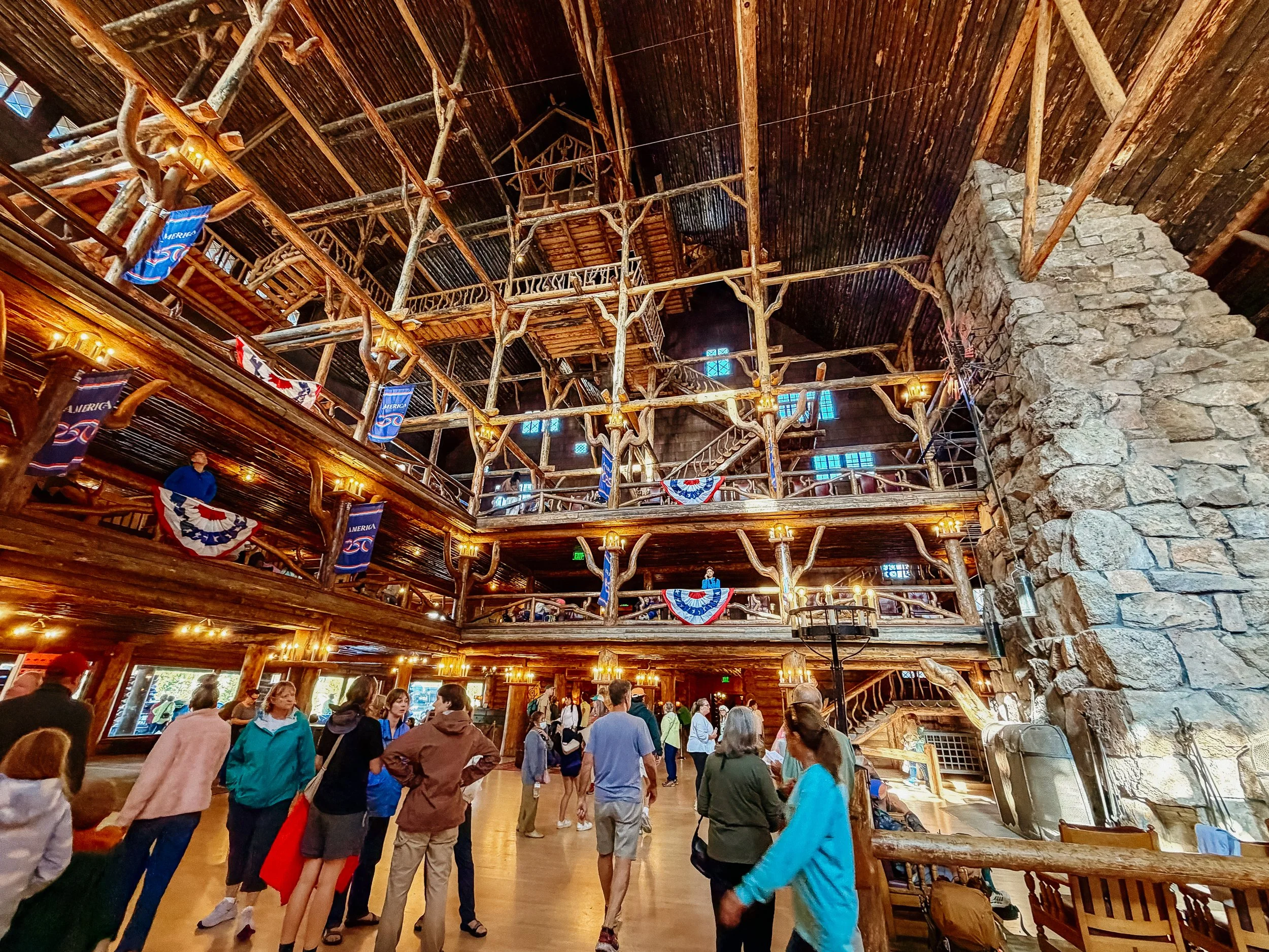
Upon arriving at Old Faithful Lodge, I became a bit emotional. I went on a road trip in 2025 after the Appalachian Trail as I headed out to finish a section of the Pacific Crest Trail that I missed in 2024 due to wildfires. The Continental Divide Trail is the boardwalk around Old Faithful so last year I knew I would be arriving to this exact spot celebrating the 1000 mile mark. So much can happen in a year – I am so much did – that I was unsure if I was going to make it. To be able to stand 13 months after I had last visited and the place I hope to be it was a proud moment.
The three of us entered the restaurant just after we deposited our very wet packs with the front desk who obviously had seen thousands of thru-hikers at this point. And the buffet was exactly what I hoped. Many gluten-free options for me, kind staff, and many hours to spend there. We spent nearly 3 hours at the breakfast buffet. I ate enough where I felt satiated, but not ill, which is hard to do when as a hiker you are constantly hungry.
After breakfast, it was time for chores. The Old Faithful Snow Lodge has laundry available so we all headed over there and did laundry while using Wi-Fi and charging. The Inn also has free showers available to thru-hikers and provides us a towel and soap. Again, I’m just so thankful that this stop seemingly was catered to CDT hikers. We also caught up with Blondie, FreeFlow, Dimps, Side Quest, Forerunner, and more who had also arrived at Old Faithful at the same time.
After somehow spending the day doing chores and eating, I realize that I had not yet seen Old Faithful go off officially. So just before all of us headed out, we stood on the boardwalk and got absolutely pelted with hail and rain while waiting within a half an hour time frame that the geyser’s predicted eruption. Just as Old Faithful began to go off suddenly, it was a bit sunny and rainbows formed. It was an insane switch off during monsoon season.
It was a short hike to upper firehole campground, where all of us were staying. The monsoon season continued, and the rain poured just as if we were arriving to camp. Luckily it stopped as I was setting up my tent, and having my last snacks of the day. There were about 15 tents at this site and unfortunately, some of the other through hikers thought it okay to hang out and chat loudly until about 11:00pm...
GALLERY