Continental Divide Trail: Leadore - Lima
INTROThe Continental Divide Trail is a National Scenic Trail spanning approximately 3,100 miles from Mexico to Canada (or vice versa) through Montana, Idaho, Wyoming, Colorado, and New Mexico, following the geological continental divide.
NOTE
I am hiking the Continental Divide Trail southbound from Canada to Mexico. This trail will complete my Triple Crown of hiking, which includes both the Appalachian Trail and the Pacific Crest Trail.
Unlike the Appalachian Trail and the Pacific Crest Trail, the Continental Divide Trail is somewhat of a choose your own adventure. Alternatives routes, and A variety of options allows this trail to be more fluid. I will do my best to explain the routes that I take in the detailed section.
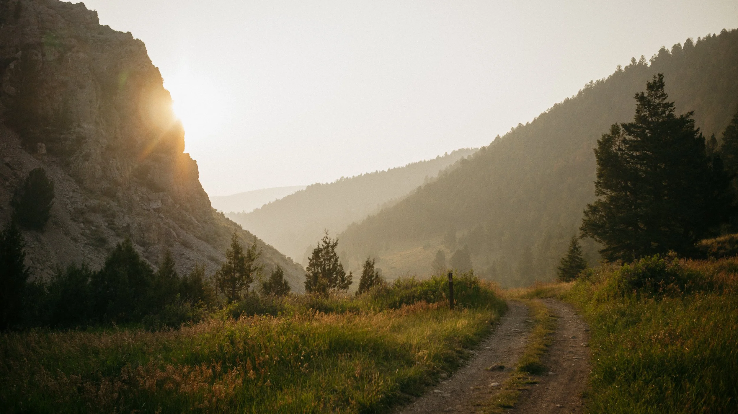
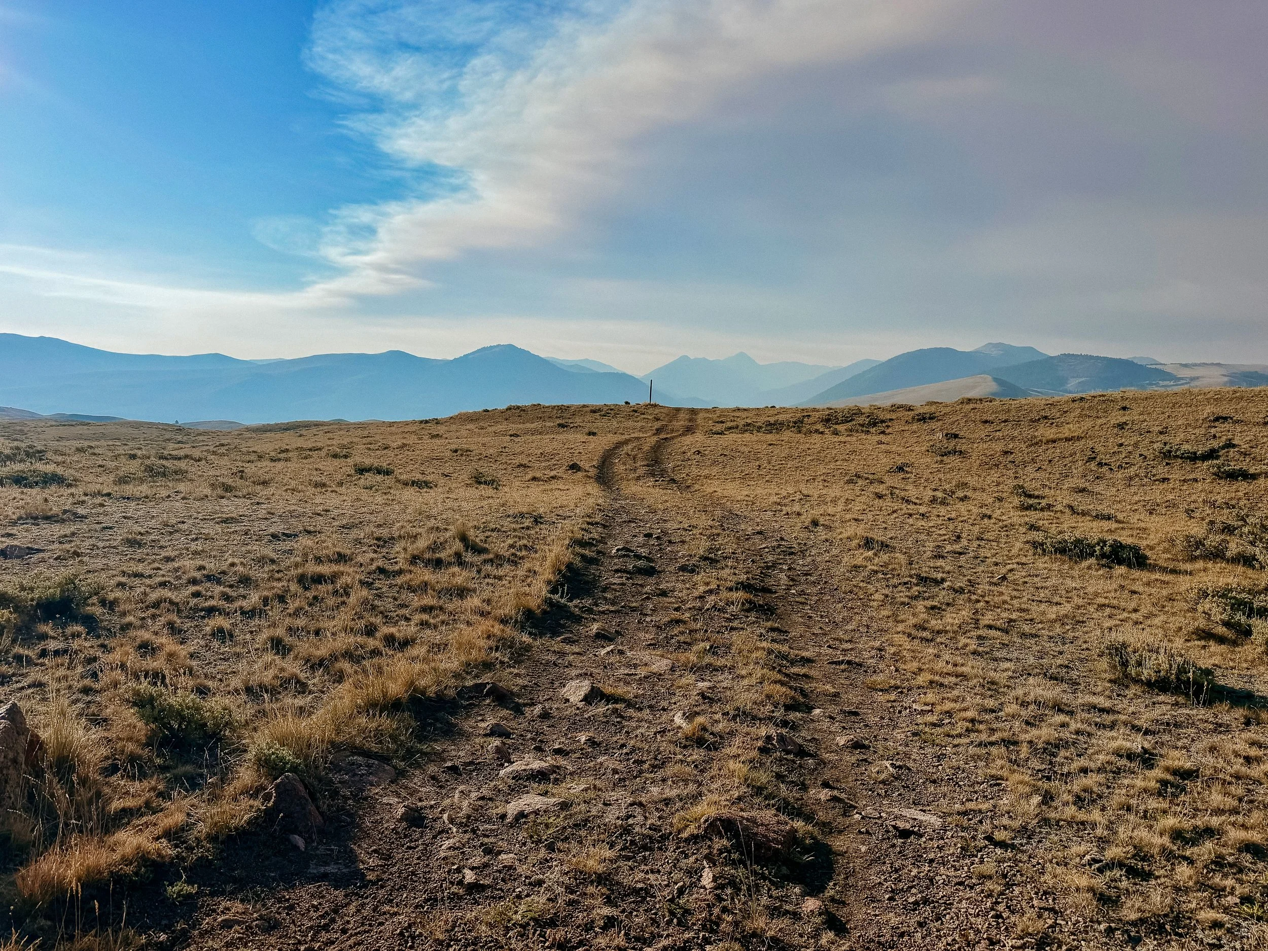
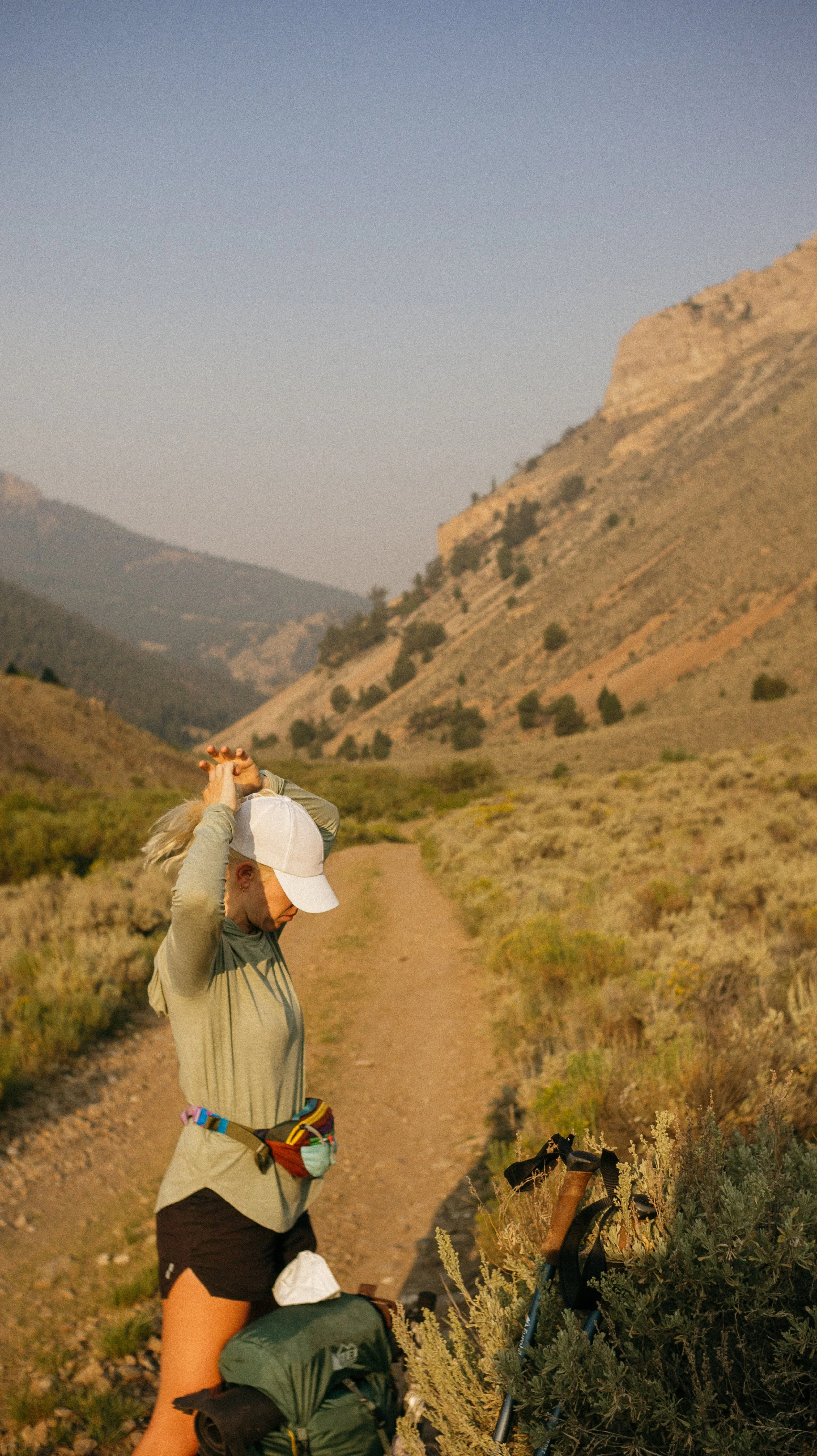
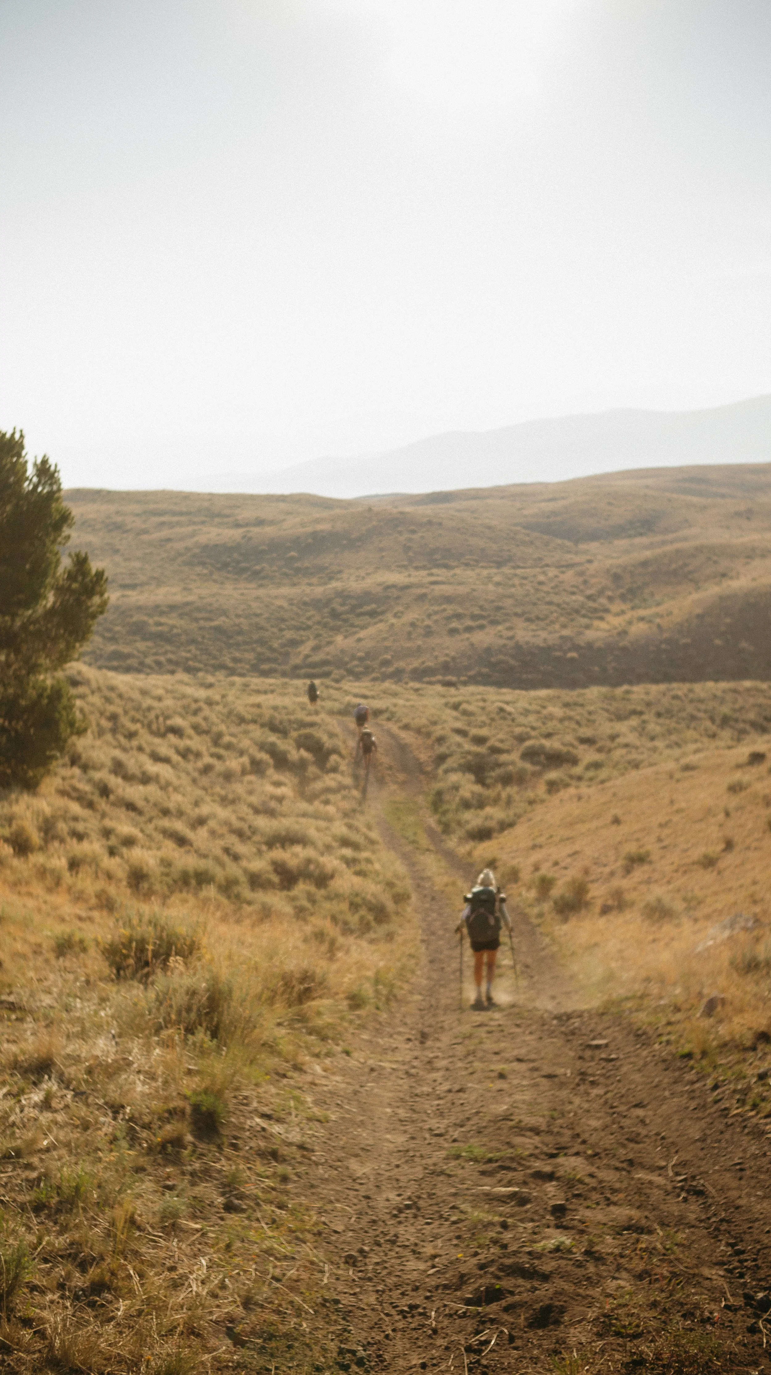
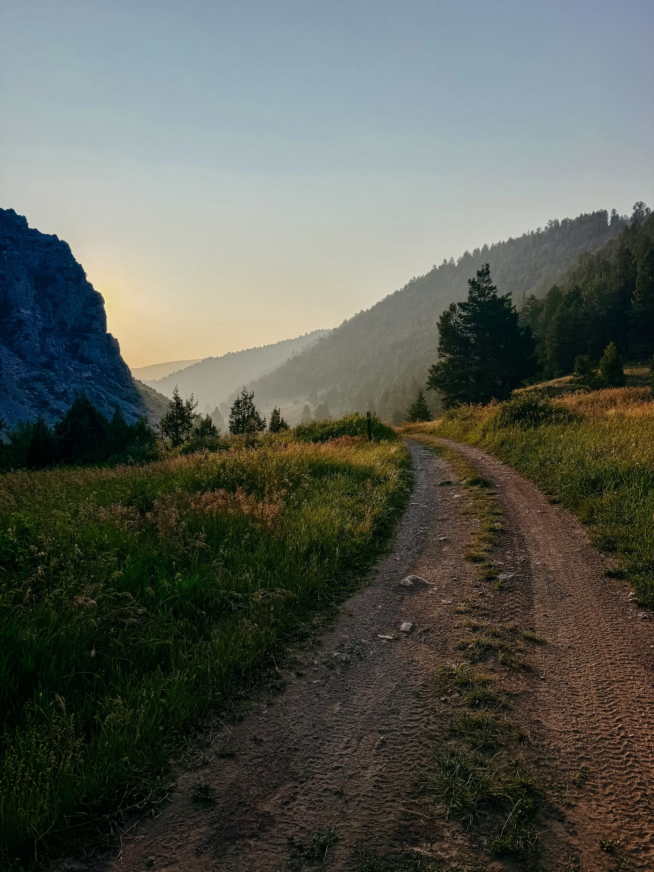
Sunrise in the smoke
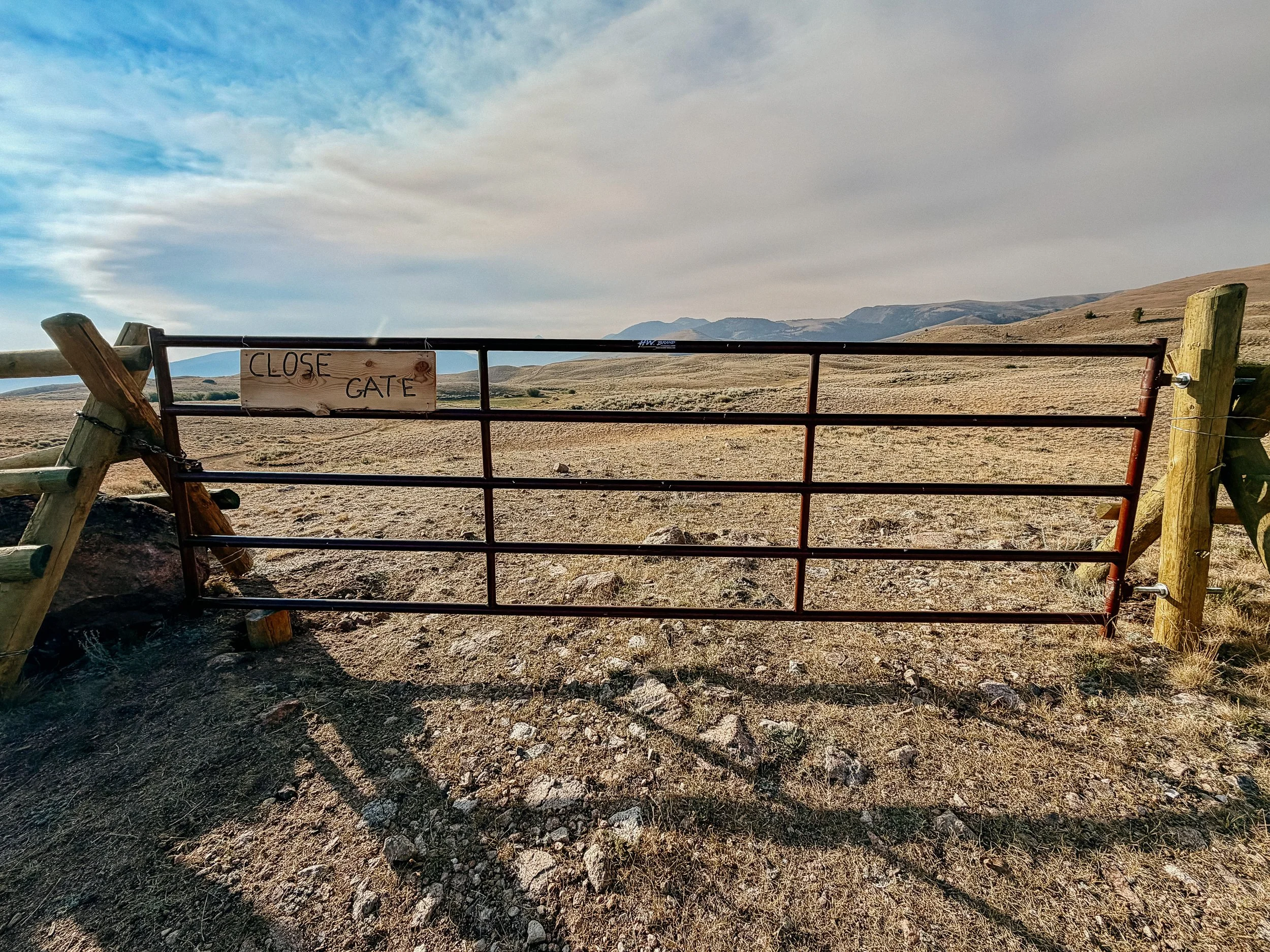
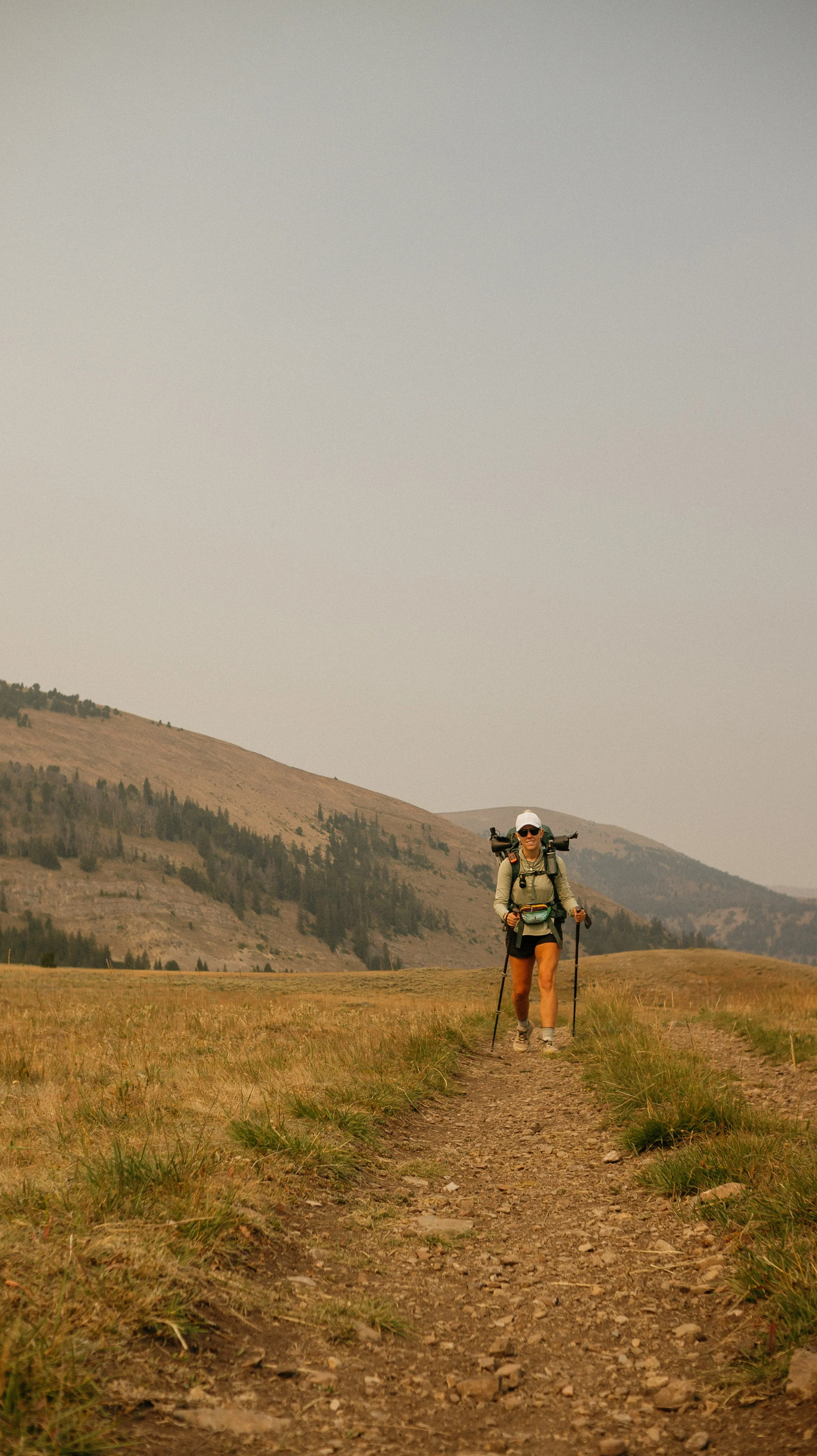
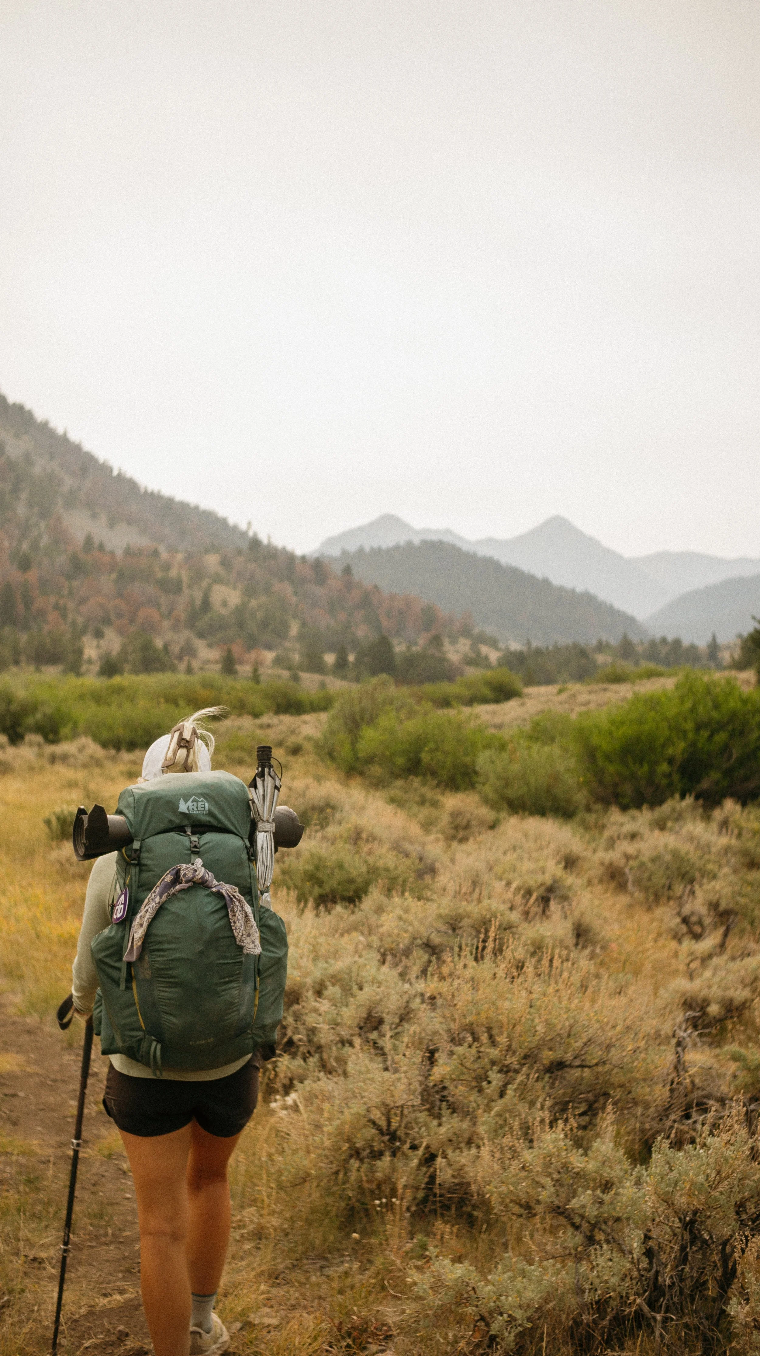
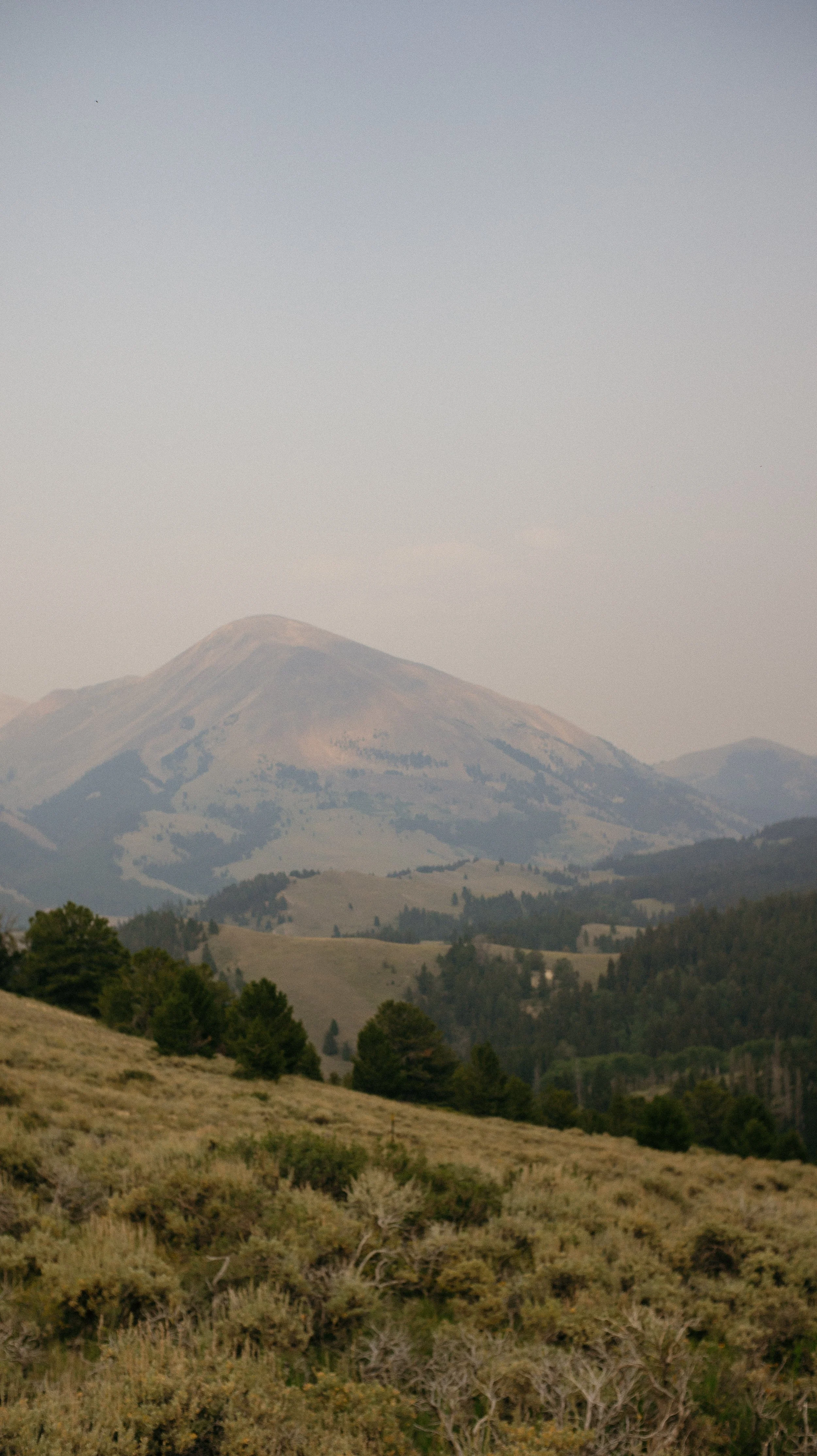
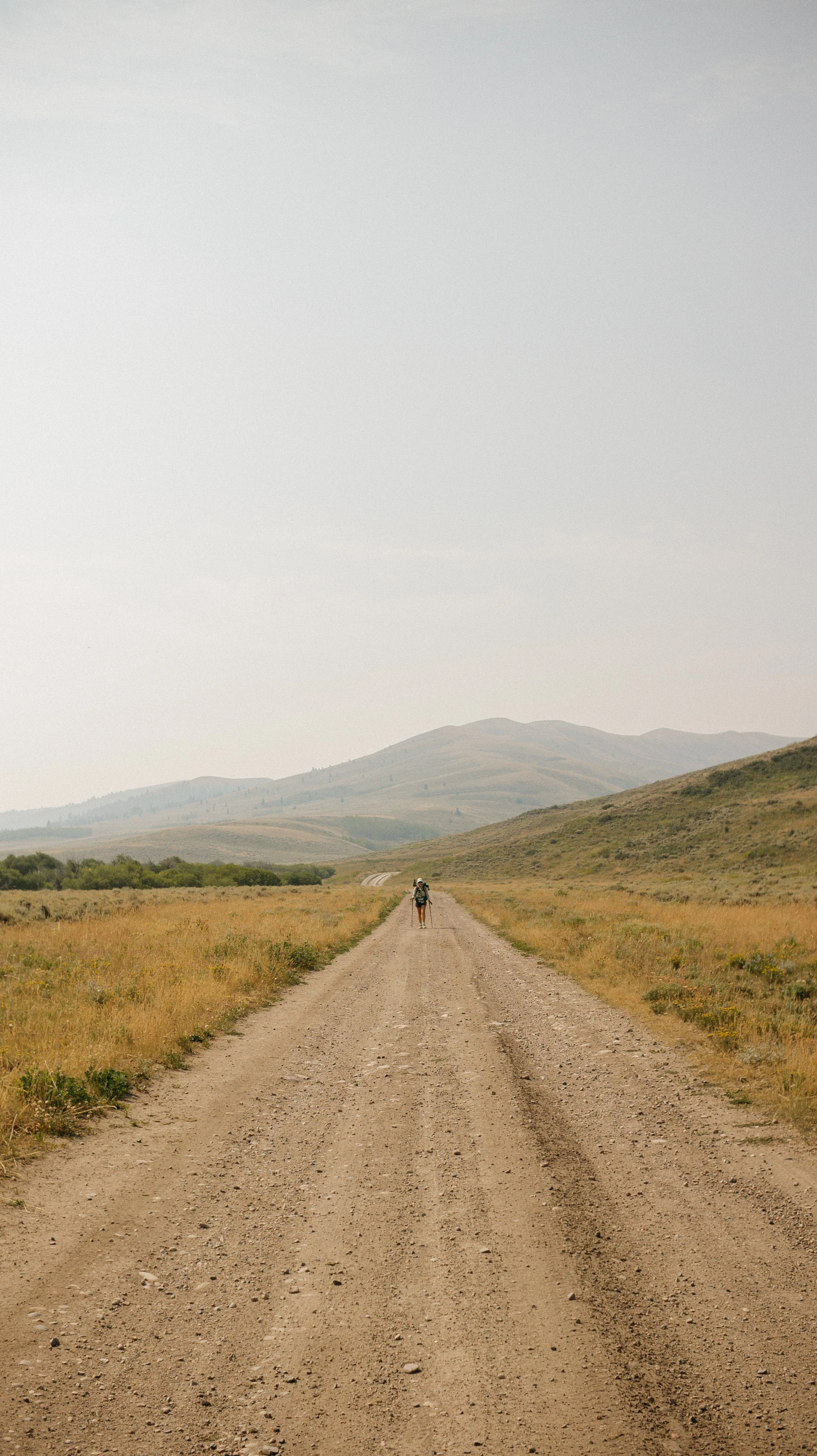
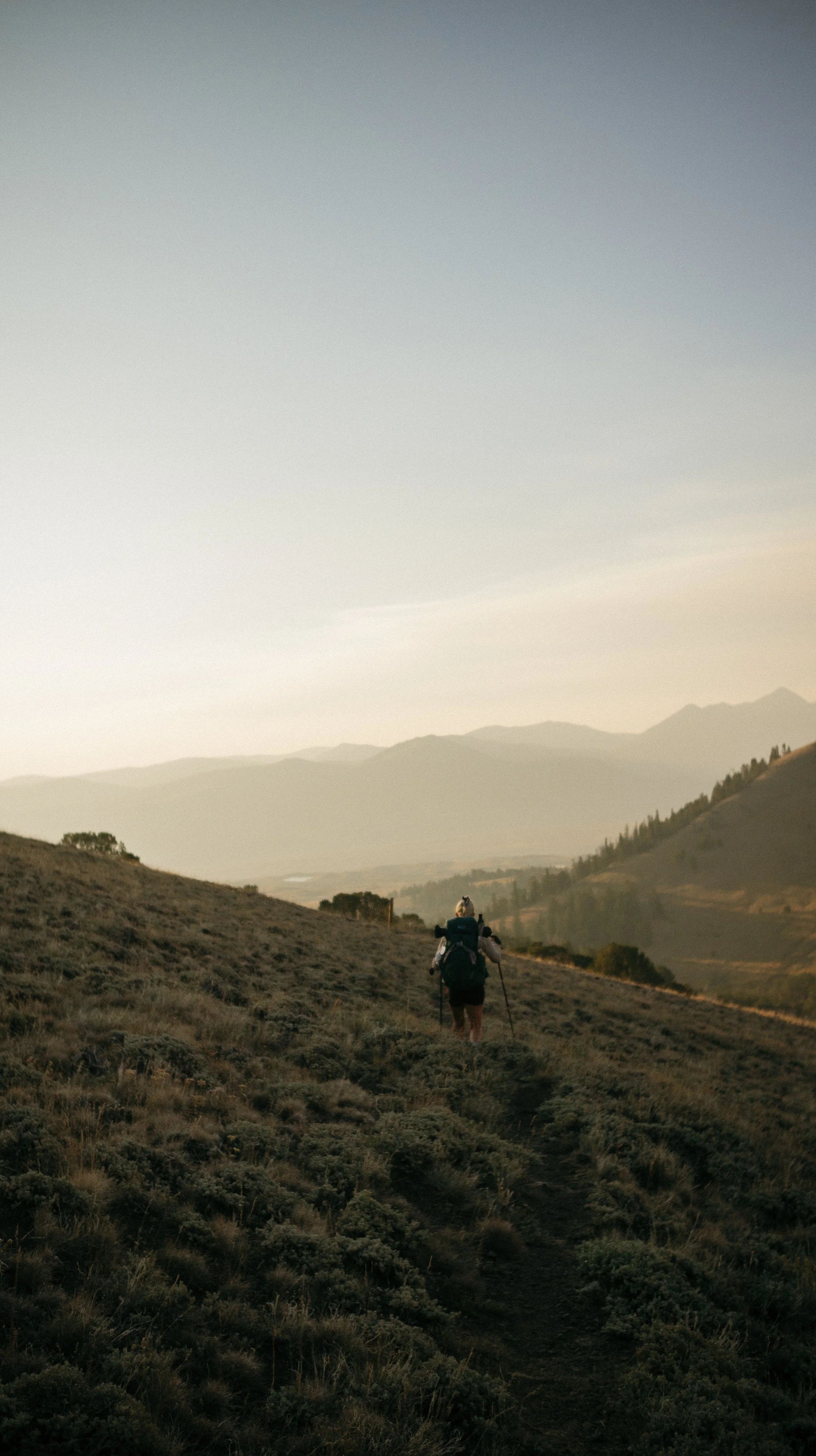
Day 43-48 took me from Leadore, Idaho to Lima, Montana. This section was filled with ridge line walks, cow herds, wildfire smoke, and steep ascents/descents. Water was a bit more scarce and took some planning around. For some unknown reason, I ended up getting a 3-day wave of nausea that prevented eating other than the bare minimum which forced a zero day in Lima, Montana.
OVERVIEWTOTAL DAYS6
FULL HIKING DAYS3
zeroes1
neroes2
TOTAL ELEVATION GAIN18,402 ft
TOTAL ELEVATION LOSS17,733 ft
MILES COVERED97.3 miles
-
Nearly 30 mile day felt great!
Many hikers, both northbound and southbound, meant a good amount of socializing
Good alternate getting back to the trail from Leadore, Idaho
Great hitch in Lima!
-
Nausea took over for a few days and forced a zero day in Lima, Montana
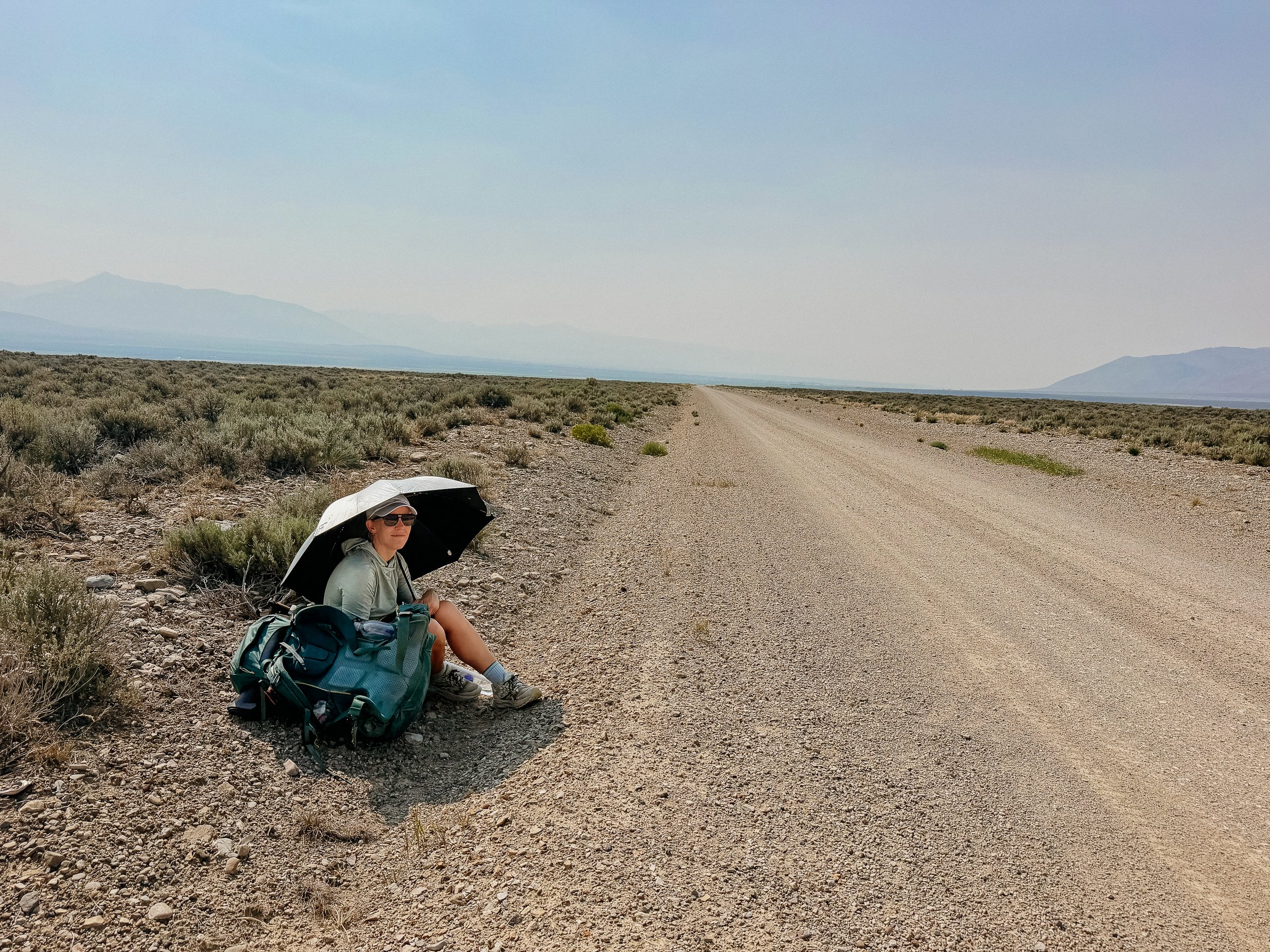
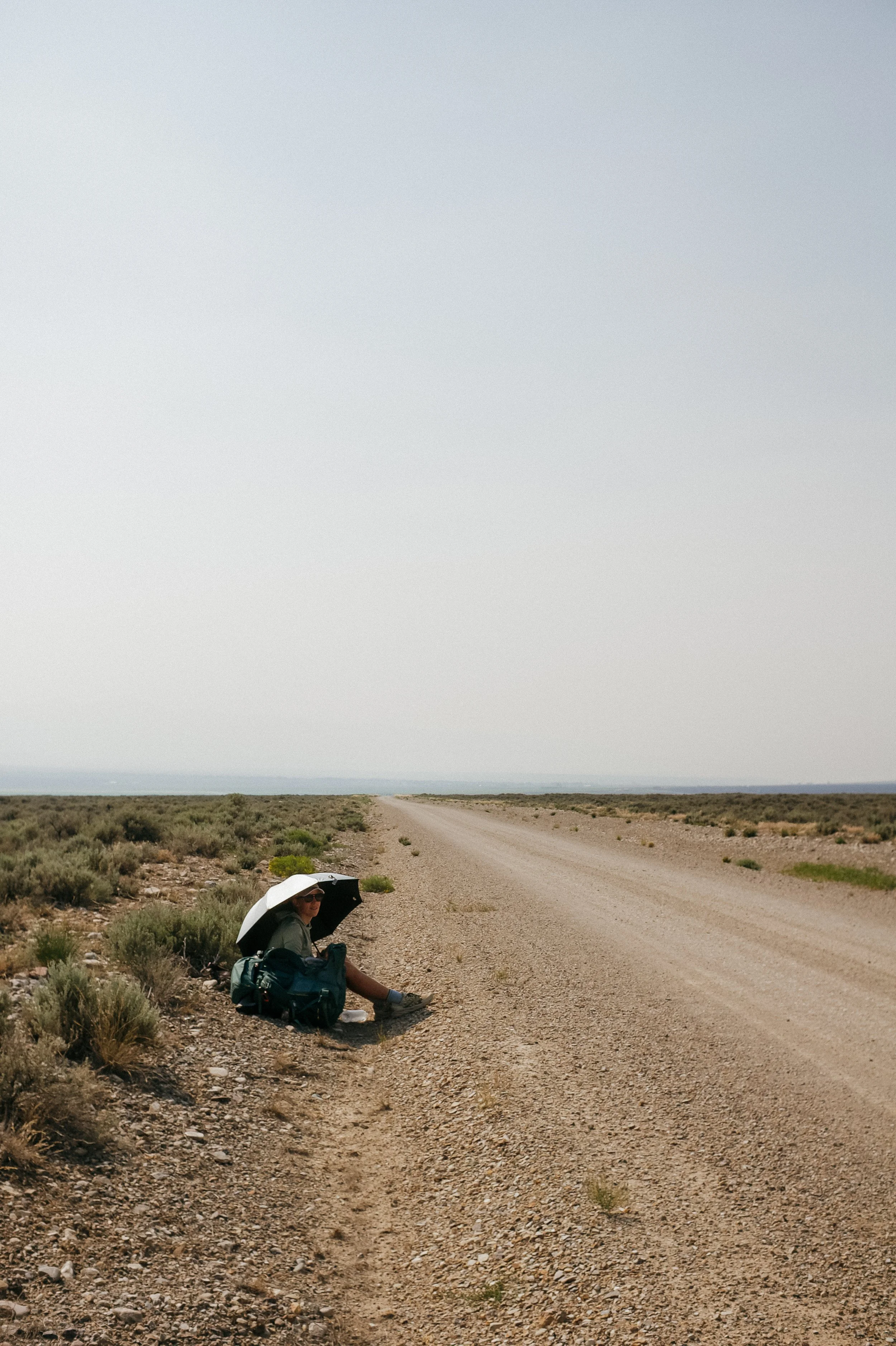
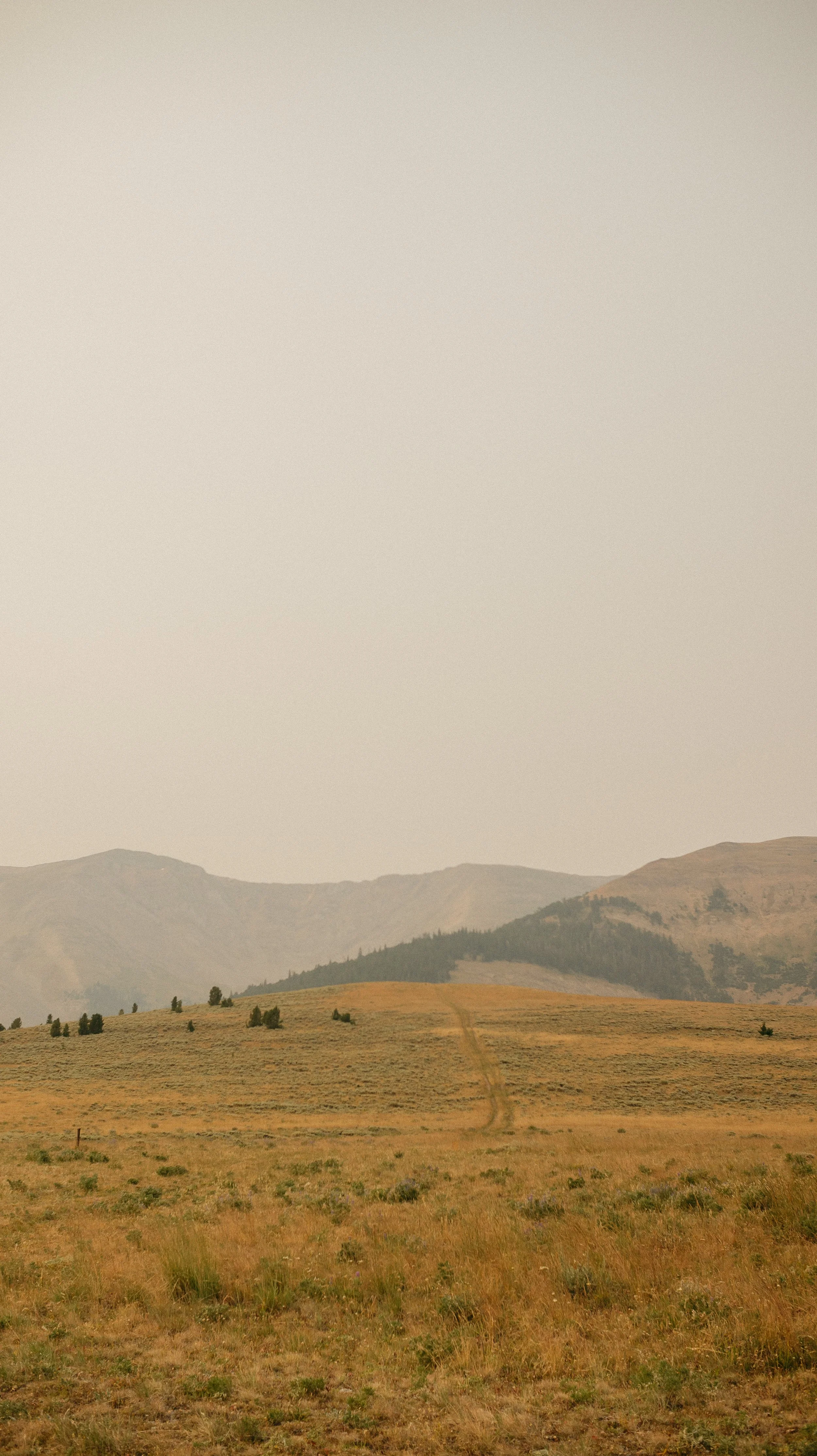
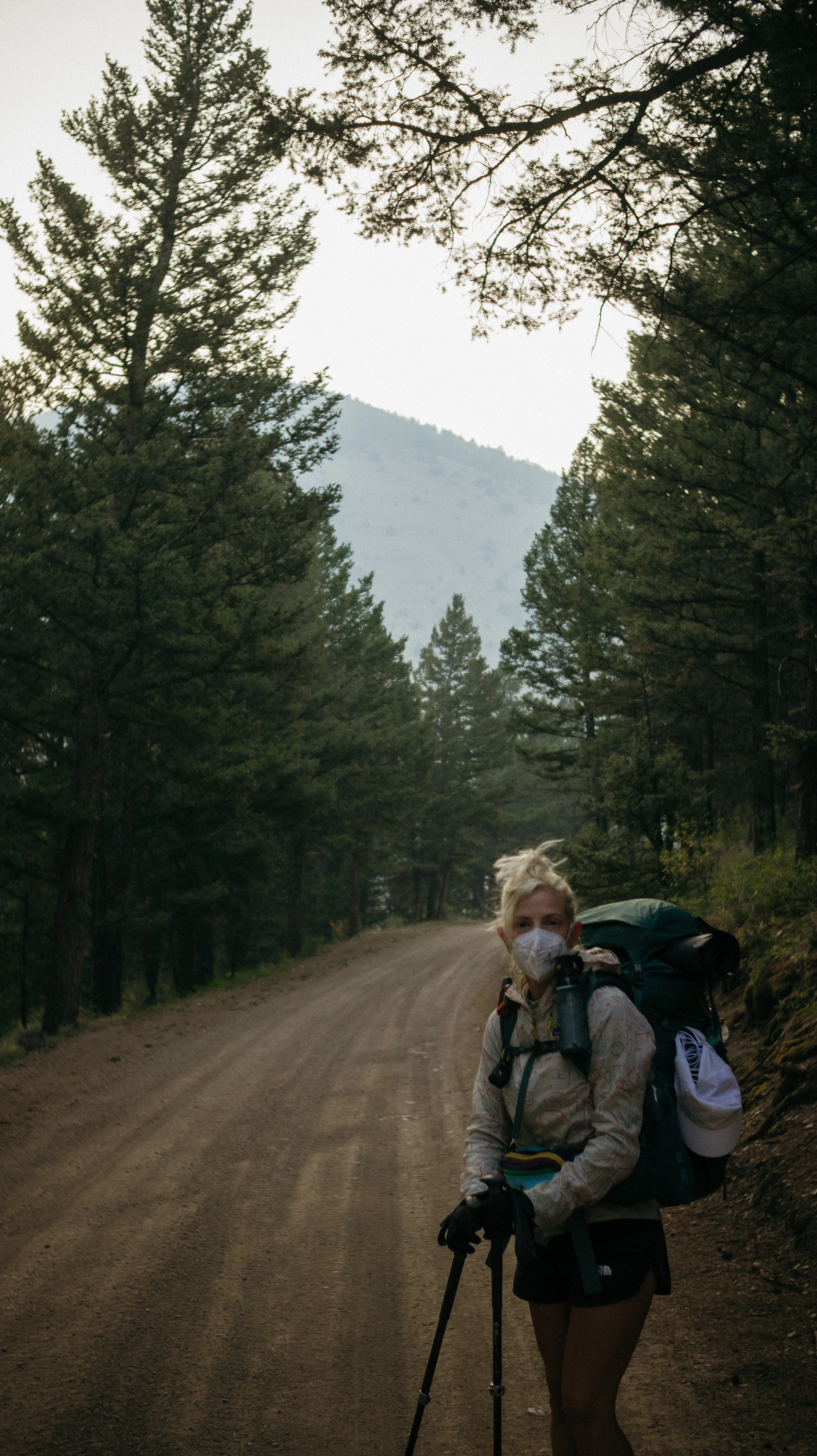
Wildfire smoke was present the whole section
The last few days of ridges were tough hiking with little water sources
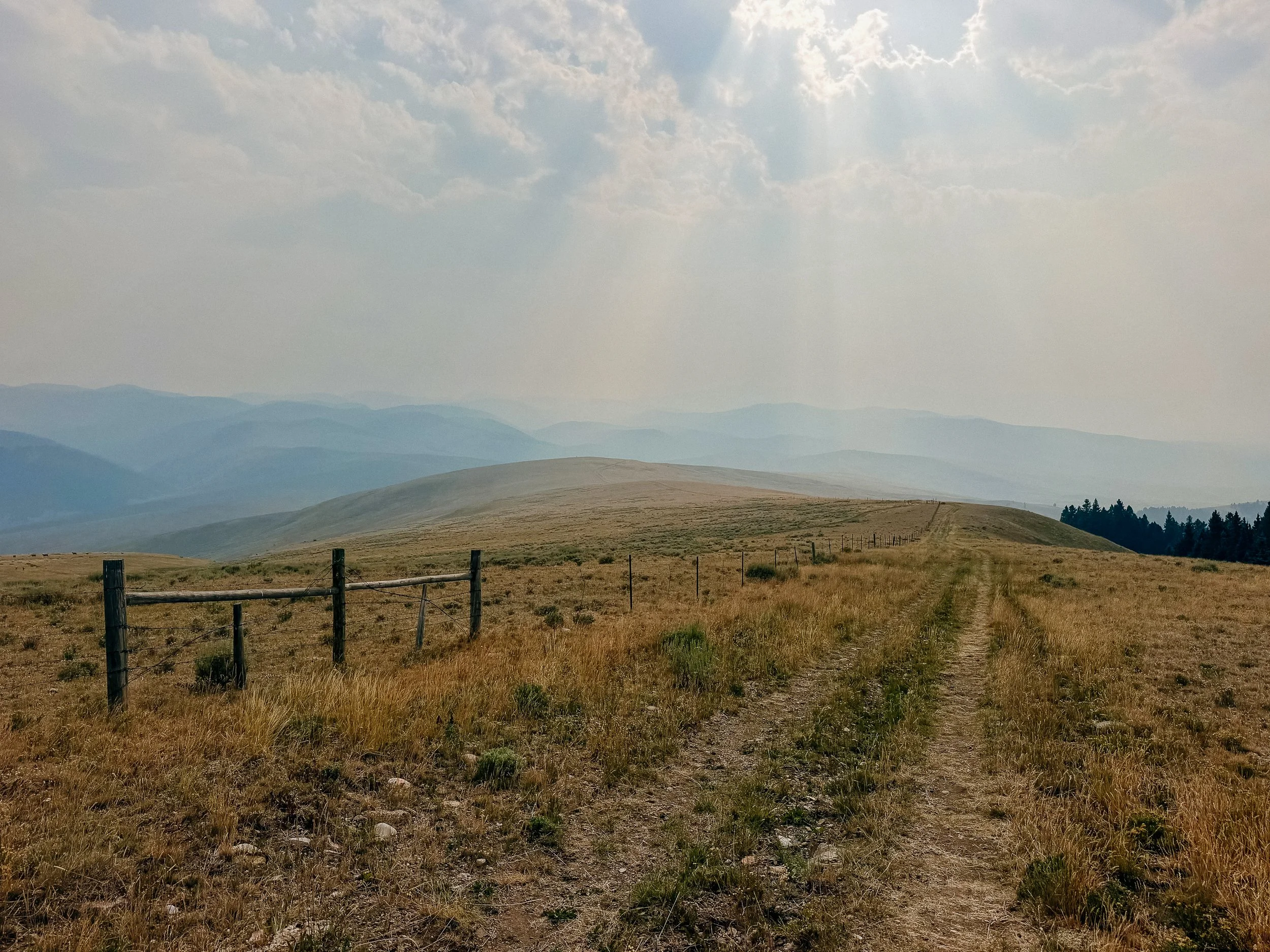
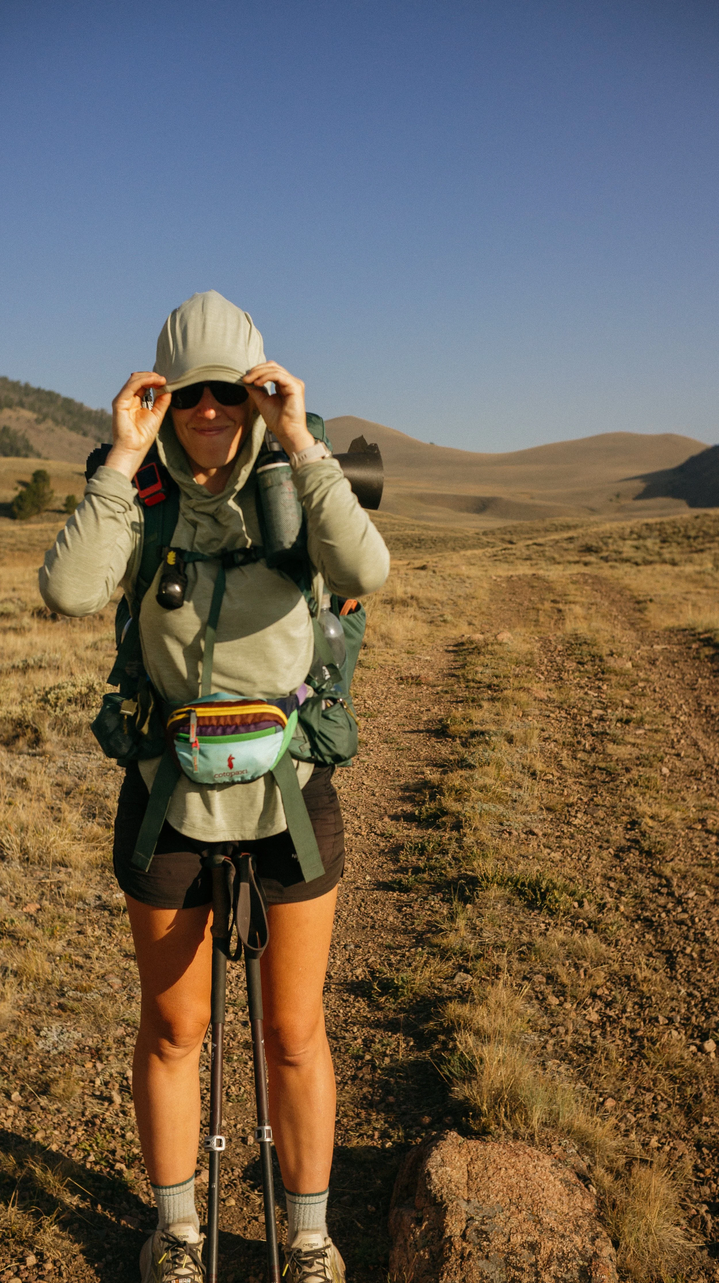
Sunshine
In Depth
-
SLEEP: Camp at Hawley Creek Campground
MILES: 9.4
ELEVATION GAIN: 738 ft
ELEVATION LOSS: 23 ft
WEATHER: Hot, Sun, Smoke
OVERVIEW: Everyone’s poor lungs 😞
After sleeping in, I opened the window to discover the wildfire smoke had increased overnight. This added to my apprehension for hiking out of town. I didn’t plan to leave town until the afternoon so I would pack and make a decision then.
Of course there was an in town breakfast along with a small resupply of anything my shipped box didn’t cover. There was only a convenience store in town, so I am thankful to have had a box sent because my gluten free self would have been a bit out of luck.
The smoke cleared a bit in the early afternoon due to some warm winds blowing through. Leadore is a bit off trail and though there is a shuttle service, it is $20 per person. George and I thought we could save some money by taking an alternate out of town. This was also mostly flat which saved my lungs a bit from the combination of wildfire smoke and cardiovascular activity.
More hikers poured into town and the accommodation was all full for the next night so we really had no option other than to leave. This was a huge convergence of both northbound and southbound hikers!
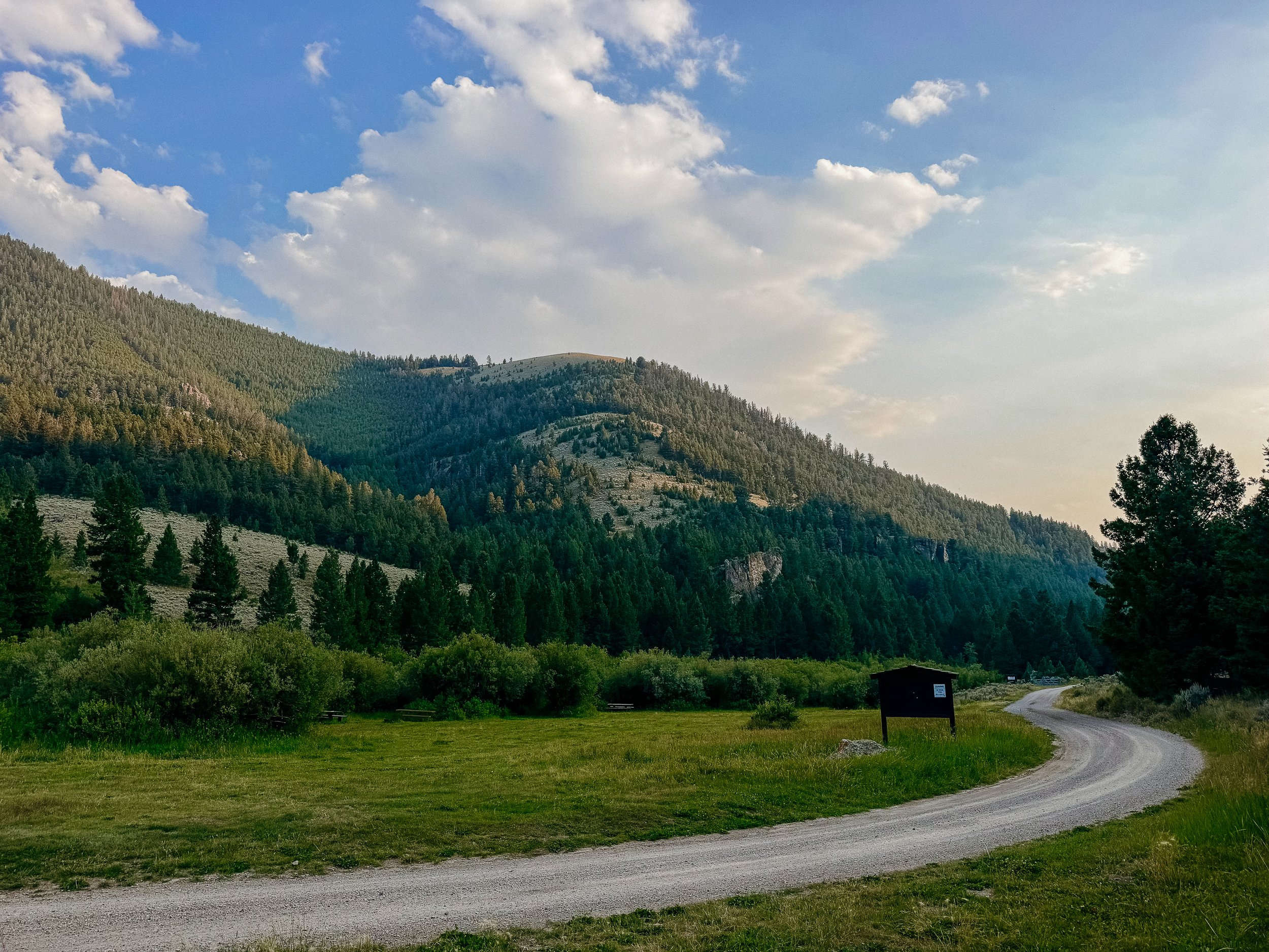
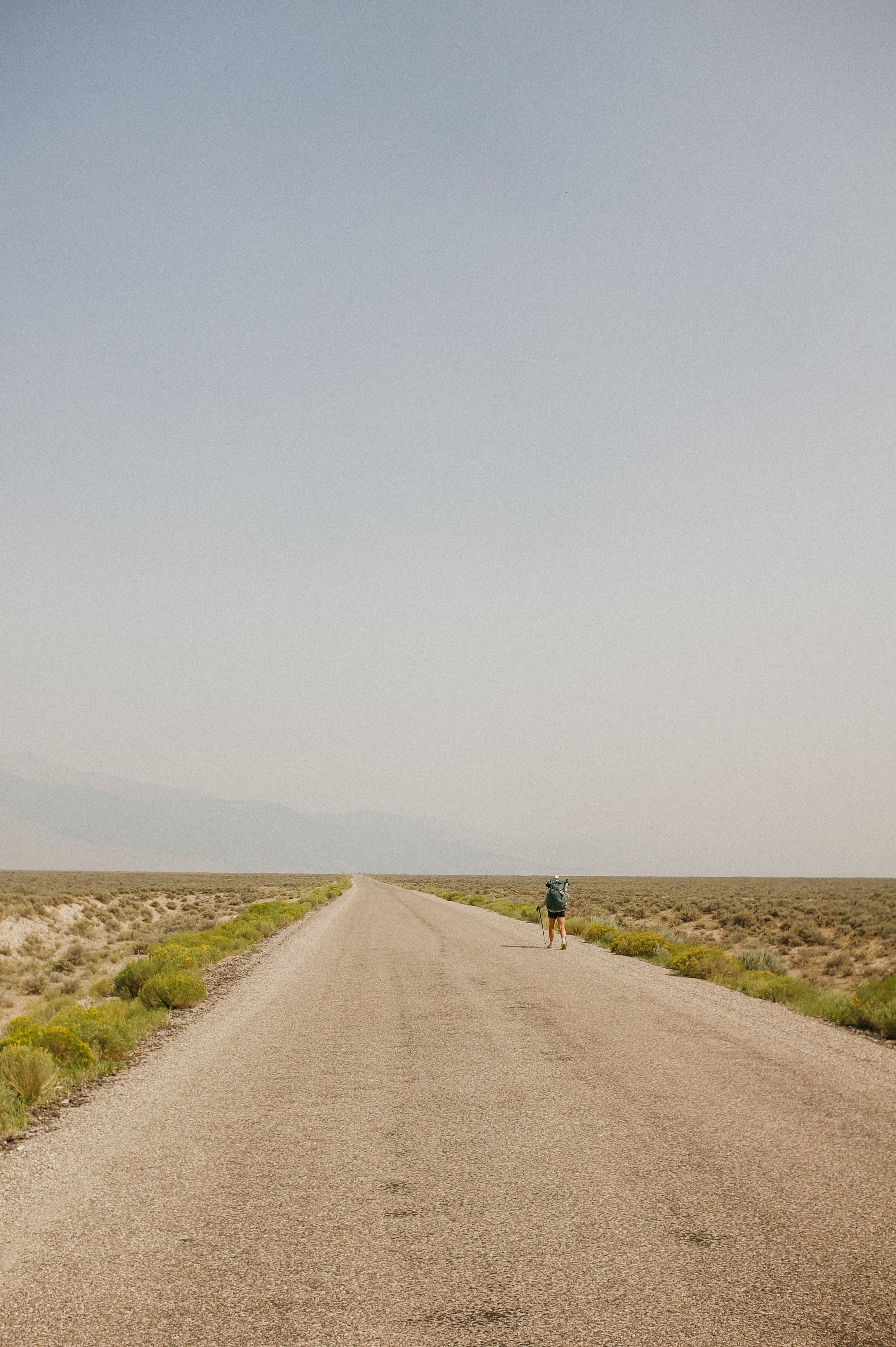
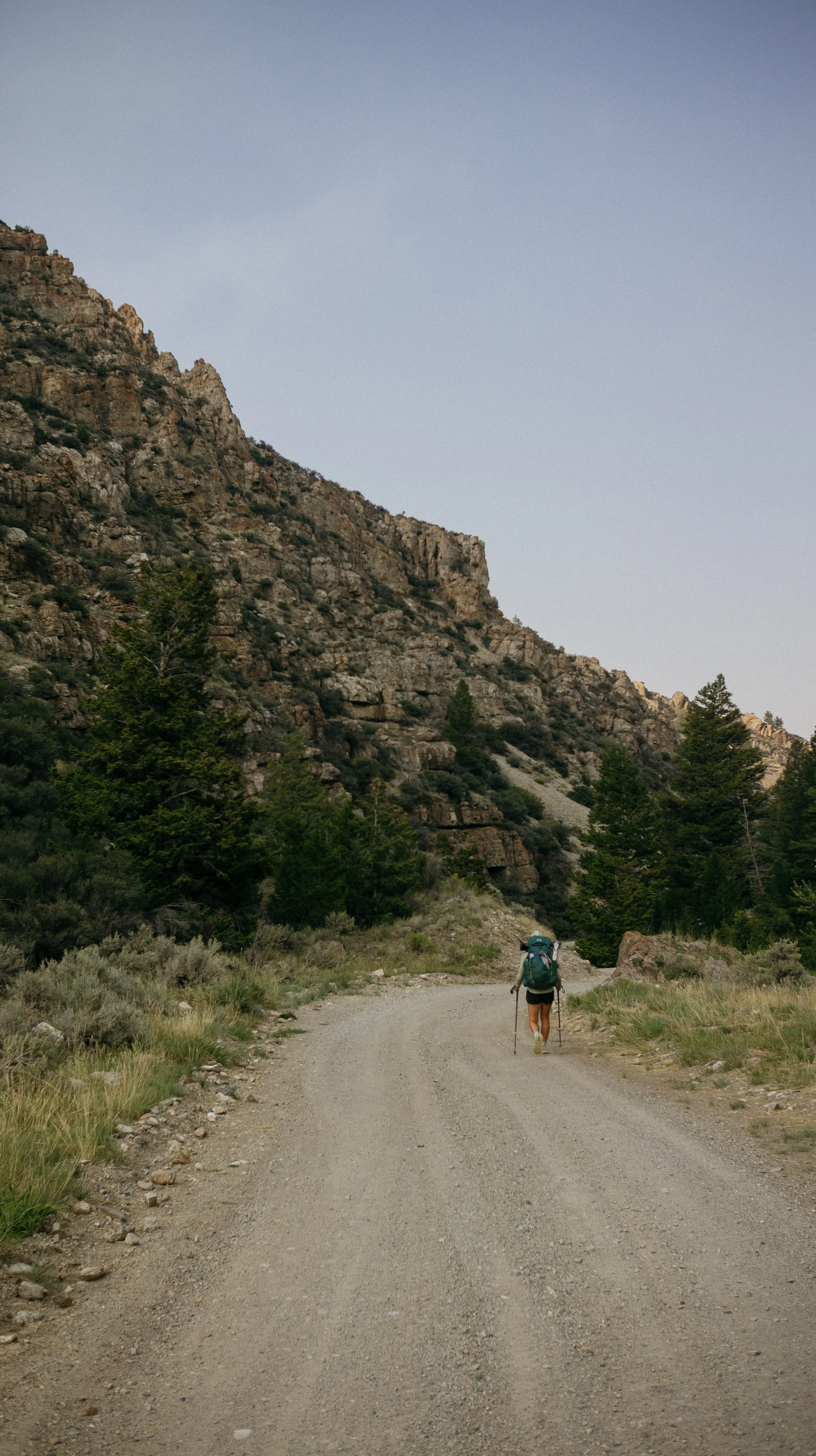
We walked the road to Hawley Creek Camping area, under 10 miles for the day. There was a beautiful lush grassy area between tall rock walls along a river. I set up my tent and appreciated the picnic table available to me!
-
SLEEP: Camp at Mile 794.9
MILES: 25.3
ELEVATION GAIN: 5758 ft
ELEVATION LOSS: 3740 ft
WEATHER: Hot, Sun, Smoke
OVERVIEW: Gosh I hate running from ridge thunderstorms
The day had a lot of elevation in store so I got rolling pretty early. The smoke remained thick but I had to hike - the amount of food one carries dictates this. I hiked with a mask on for a bit to help cut the smoke through some initial ascents. The day was slated to be warm so if I could use my mask during the chill morning hours, I wanted to.
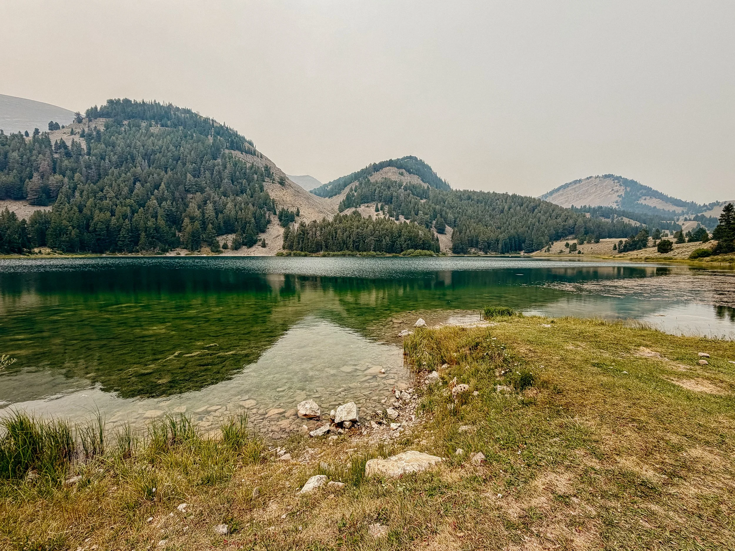
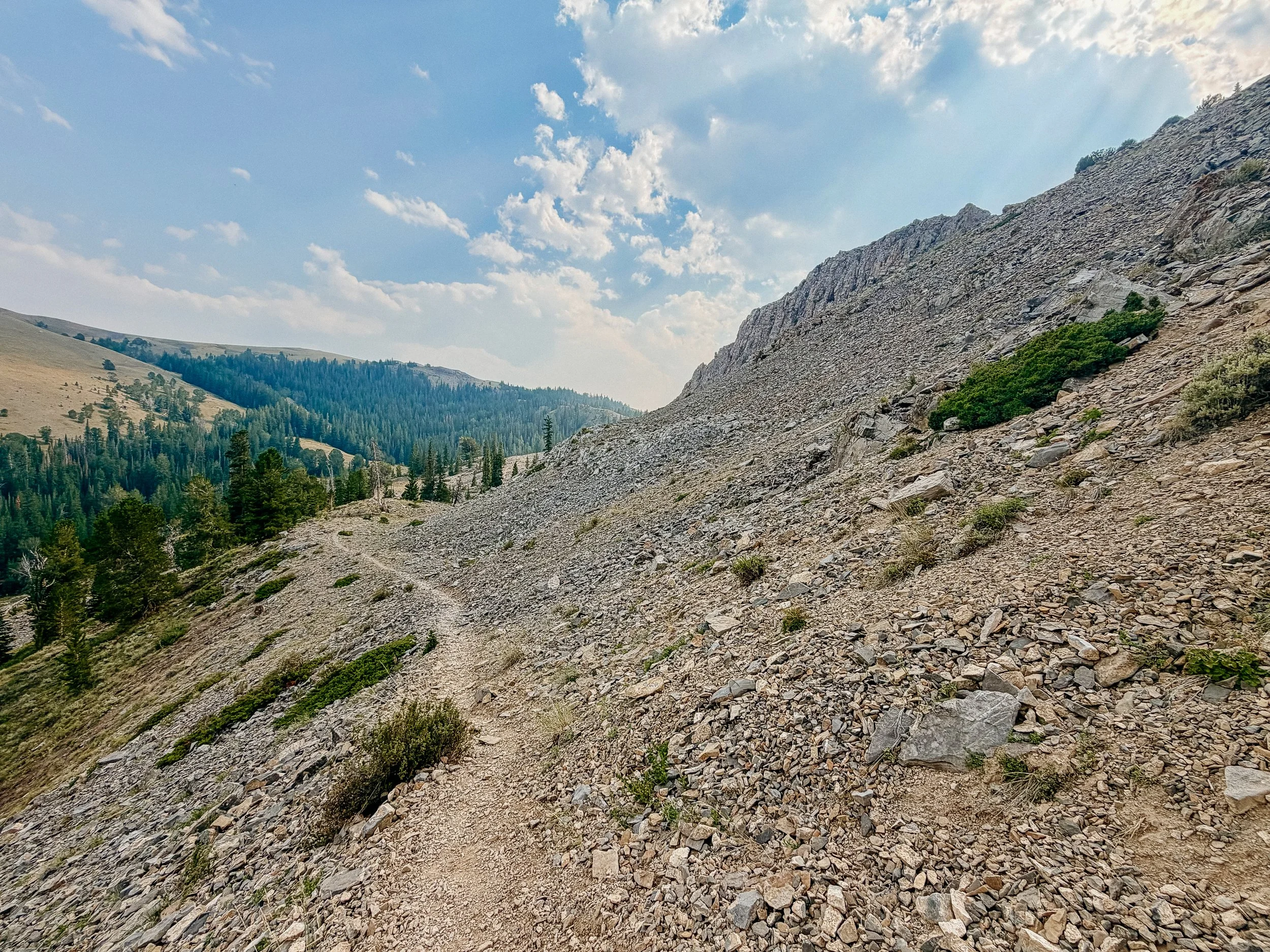
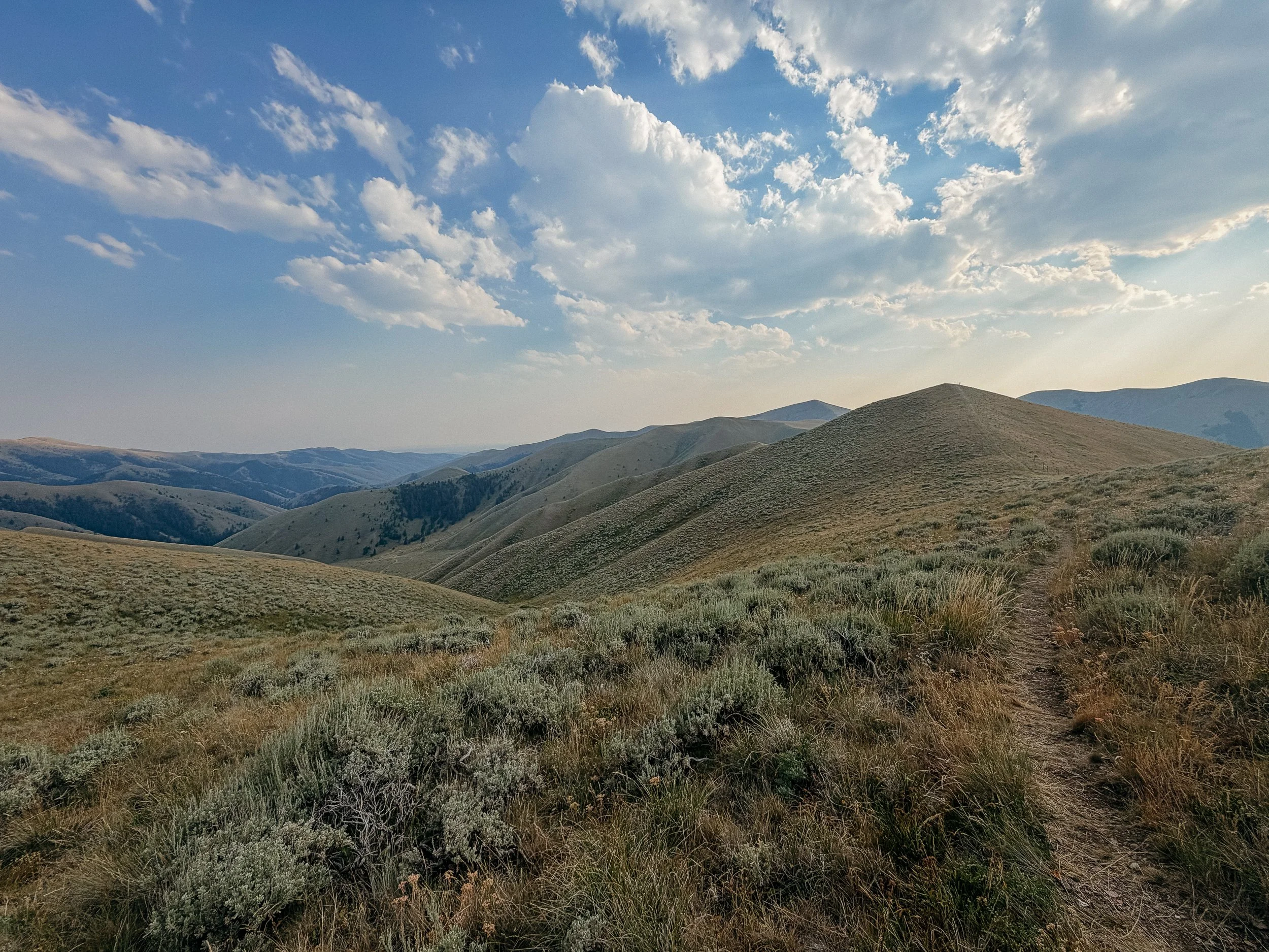
George and I arrived back at the redline and were greeted with sweeping views, more smoke, and an innumerable amount of ridge climbs and descents. We had lunch at a beautiful lake that had more people around it than I thought could access it. With the increase in ATV side by side units, most trails are accessible now.
The afternoon was filled with more ridges, herds or cows, and eventually storms. The last climb of the day was comically steep. In fact, a group of four that I had been hiking around (Golf Ball, Boujee, Sun Dial, and Ambassador) was on the descent of a pointless up and down climb while I was on the ascent. The descent was technical and the ascent was steep. So they had to watch me slowly heading up the mountain while they knew what was coming.
When I crested the false summit (sigh), there was a thunderstorm waiting for me. As I was the tallest thing around, I had to get down. I ran as much as I could up and down the last ridge while lightning and thunder was just ahead of me. The trail was confusing and unclear so picture me running from a thunderstorm while looking at my map on my phone. Chaos.
Eventually I got to the peak and ran down. Luckily there were a group of trees not too far down the final descent. From there it was only a few minutes to camp. I arrived and George was already set up in his tent. While I was running for my life, he had gotten absolutely rained on while in camp. These storm cells were crazy!
-
SLEEP: Camp at Mile 825.4
MILES: 29.2
ELEVATION GAIN: 4757 ft
ELEVATION LOSS: 5928 ft
WEATHER: Hot, Sun, Smoke
OVERVIEW: Biggest day of the year yet!
In direct contrast to the day prior, there was less elevation today over a long period of miles so we opted to do a big day.
Honestly, this day went by quickly with little disruption. There were large climbs but for the most part, things were graded better. The wildfire smoke was still present but had dissipated slightly. This was a great audiobook day as the views were open with no worry of grizzly bears.
The last few miles were relatively flat as well which lead to quick hiking. The ground was uneven and had been called “ankle breaking” but luckily I avoided that affliction.
I arrived in camp only about 20 minutes after George which rarely happens. I felt great, strong, and ready for the next days.
-
SLEEP: Camp at Mile 844.3
MILES: 19.4
ELEVATION GAIN: 4967 ft
ELEVATION LOSS: 4646 ft
WEATHER: Hot, Sun
OVERVIEW: What was that?!
My alarm went off slightly later than normal because I had 10 less miles for the day. After nearly a 30 mile day the day prior, that felt great. I woke up more groggy than ever even with a solid night sleep. George said there was a loud deer causing chaos outside the tents for some time but I completely slept through it.
The miles were slow, the morning was hot, the trail was inexplicably steep. It took an obscene amount of time for us to hit nine miles, where we had lunch. George took off and I continued to sit in a small oasis stunned that at 2:00pm, only nine miles had happened. 10 more to go.
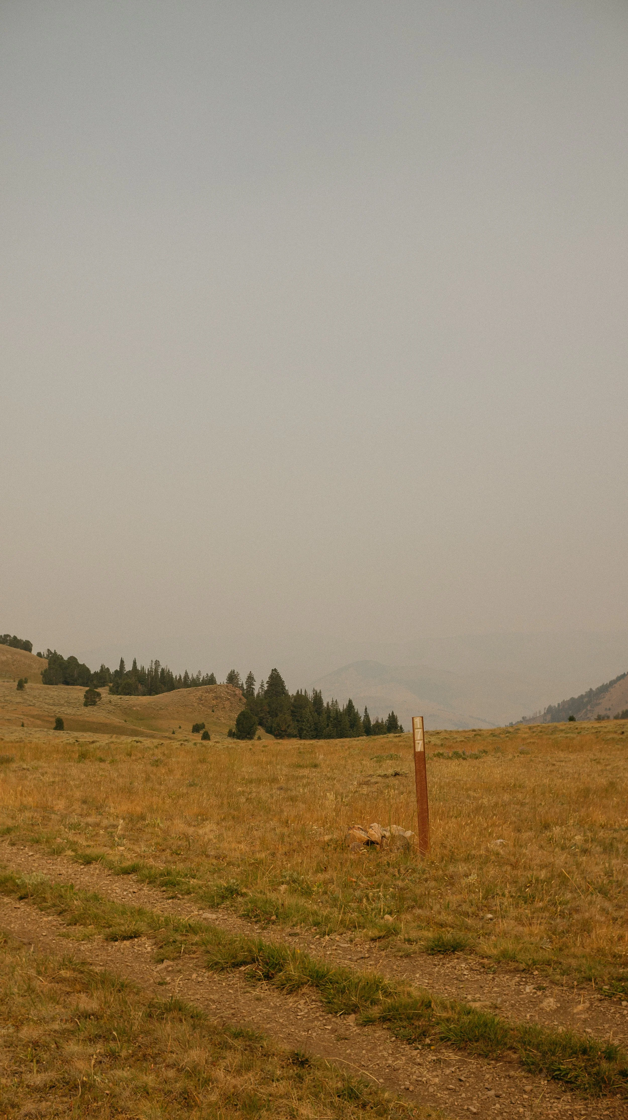
The remaining 10 continued on the same pace. In fact, I took a wrong trail at one point because this section was lacking a lot of signage. After 0.5 miles, I realized that I should be going more on an incline than I was and oops I was not on the CDT. Adding an extra mile to the afternoon was not great.
The evening carried on along ridge lines that you could see for miles. Typically I like to see where I am going vs a tunnel of trees. But I could see only wild inclines awaiting me. It once again felt like I was in the twilight zone where the miles I was doing took exponentially longer than they should. I’m out of breath/hauling and only am accomplishing 25 minute miles?
I arrived at camp around 7:45pm nearly in tears but George was there with three northbound hikers so I put on a brave(r) face and socialized. Tucking into my tent, I feel terrible nauseous for no real reason?
-
SLEEP: Sleep at Beaverhead Inn in Lima, Montana
MILES: 14
ELEVATION GAIN: 2182 ft
ELEVATION LOSS: 3396 ft
WEATHER: Hot, Sun
OVERVIEW: Thankful for a night in a bed to recover.
After a horrible night sleep because I was either on an angle or ate too late, I was nauseous the entire night. I remember unzipping my tent several times to maybe puke, but never did.
I reluctantly got up and had a short day into Lima. There wasn’t too much elevation gain but based on the day prior, I knew it still was not going to be fun. Saying ‘goodbye’ to the three northbound hikers was bittersweet as they were so kind!
Hoping for an early arrival time in town, George and I set out just after sunrise. Good thing we did because the hiking was a snails pace. Both the inclines and descents were similarly steep; stopping to breathe heavily and skating down the hill on tiny rocks, respectively. The smoke from wildfires was again terrible which could have been adding to my illness.
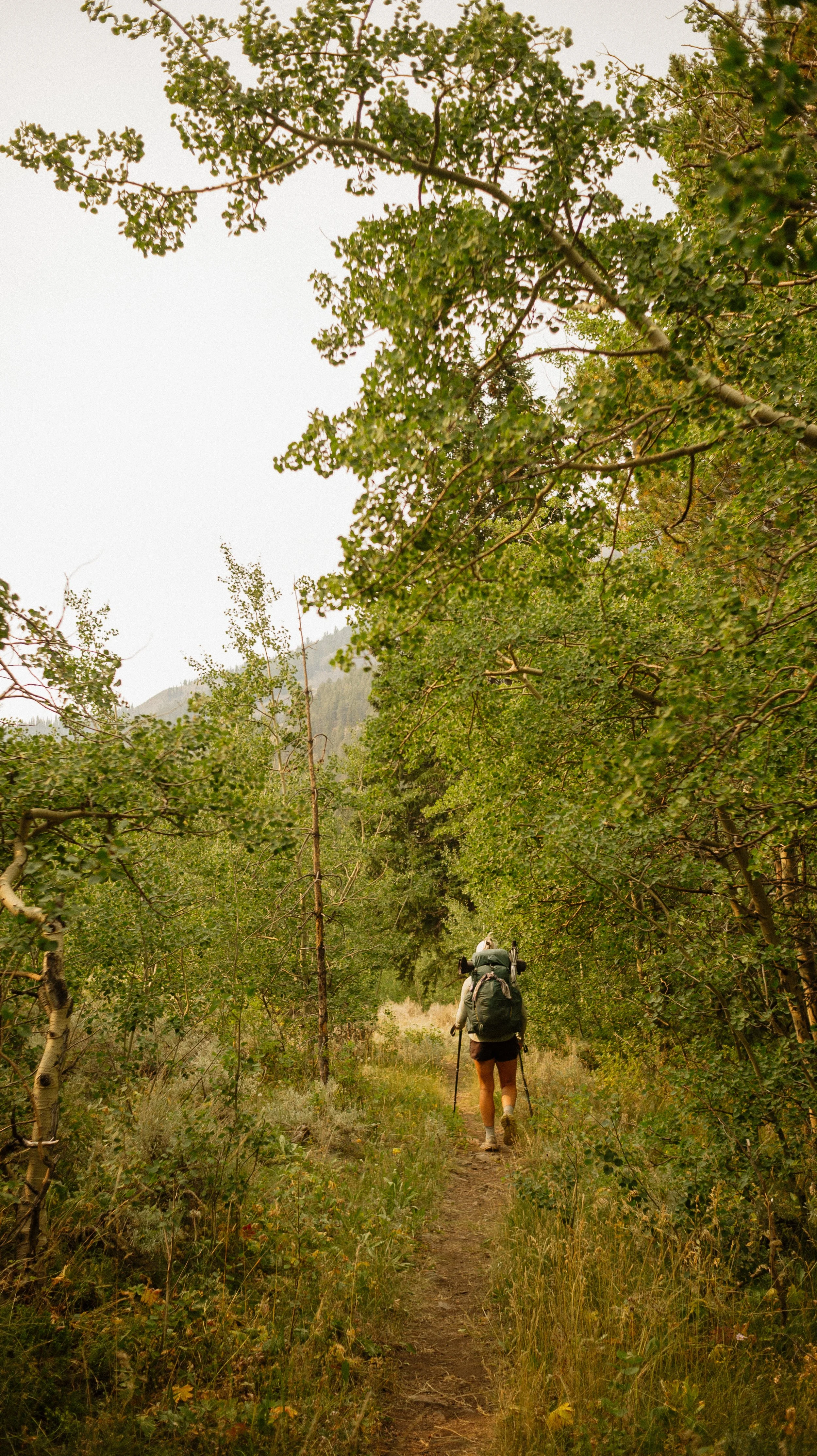
Just before the merciful roadwalk portion, I scared a large bull moose out of an aspen grove that was in the middle of cow country. I have no idea how this poor moose got there because I was definitely not in a moose spot.
The roadwalk went as fast as it could while I was gagging at every snack I attempted to eat. George was waiting at the highway and the official crossing was about three miles further down the road. My stomach forced me to jump the fence, cross the highway, and attempt a hitch. After 15 minutes, a dear man Nyle picked us up and gave us a ride to our motel in Lima.
Luckily my room was ready early so I showered and immediately tried to nap to settle my stomach. Turns out I could barely eat anything in town because me being gluten free and there being limited options in Lima. I had an apple, oatmeal, and fries from the gas station. None which agreed with me.
Indian came to my hotel room for a quick shower as she was just camping in town. In addition, there were so many fun hikers at this motel that I wanted to spend time with but my nausea! It was an early bedtime for me as well.
-
SLEEP: Beaverhead Inn in Lima, Montana
MILES: 0
ELEVATION GAIN: 0
ELEVATION LOSS: 0
WEATHER: who knows? I was sleeping.
OVERVIEW: A surprise zero day is always nice.
I woke up still nauseated and tried to sleep away the morning. By mid morning, the call was obvious that I needed a full day of rest before I should head out on the trail. When you cannot consume calories, you should not be hiking big mileage days.
I slept on and off throughout the day and ate basic foods. There were no restaurants open or prepared food available in the town so I relied on gas station options of mostly oatmeal.
I fell asleep early that night too.
GALLERY