Continental Divide Trail: Darby - Leadore
INTROThe Continental Divide Trail is a National Scenic Trail spanning approximately 3,100 miles from Mexico to Canada (or vice versa) through Montana, Idaho, Wyoming, Colorado, and New Mexico, following the geological continental divide.
NOTE
I am hiking the Continental Divide Trail southbound from Canada to Mexico. This trail will complete my Triple Crown of hiking, which includes both the Appalachian Trail and the Pacific Crest Trail.
Unlike the Appalachian Trail and the Pacific Crest Trail, the Continental Divide Trail is somewhat of a choose your own adventure. Alternatives routes, and A variety of options allows this trail to be more fluid. I will do my best to explain the routes that I take in the detailed section.
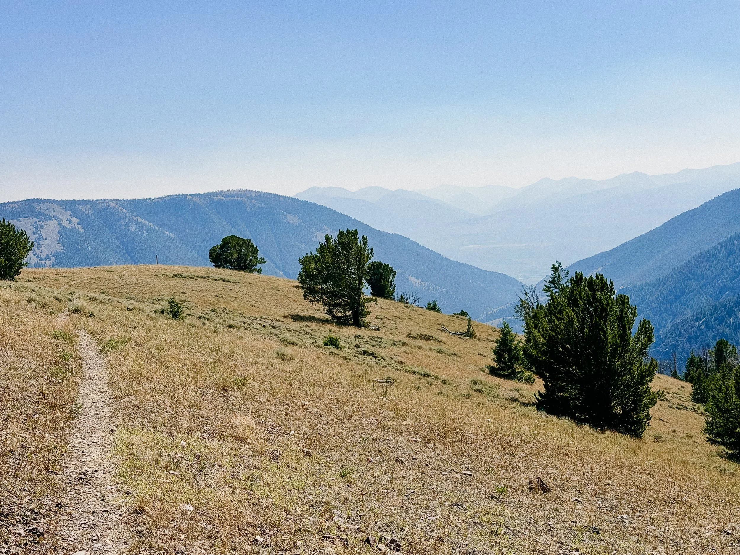
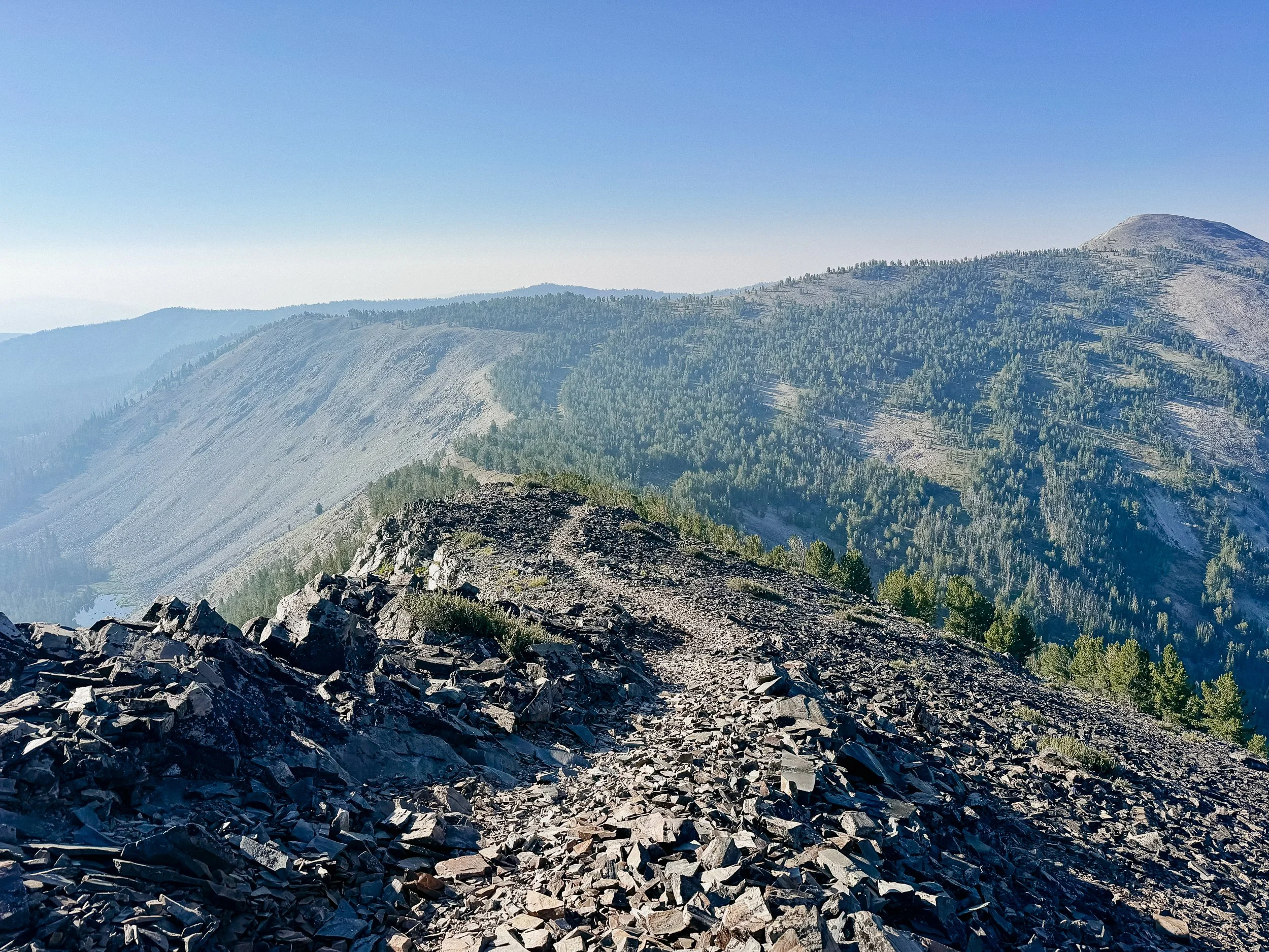
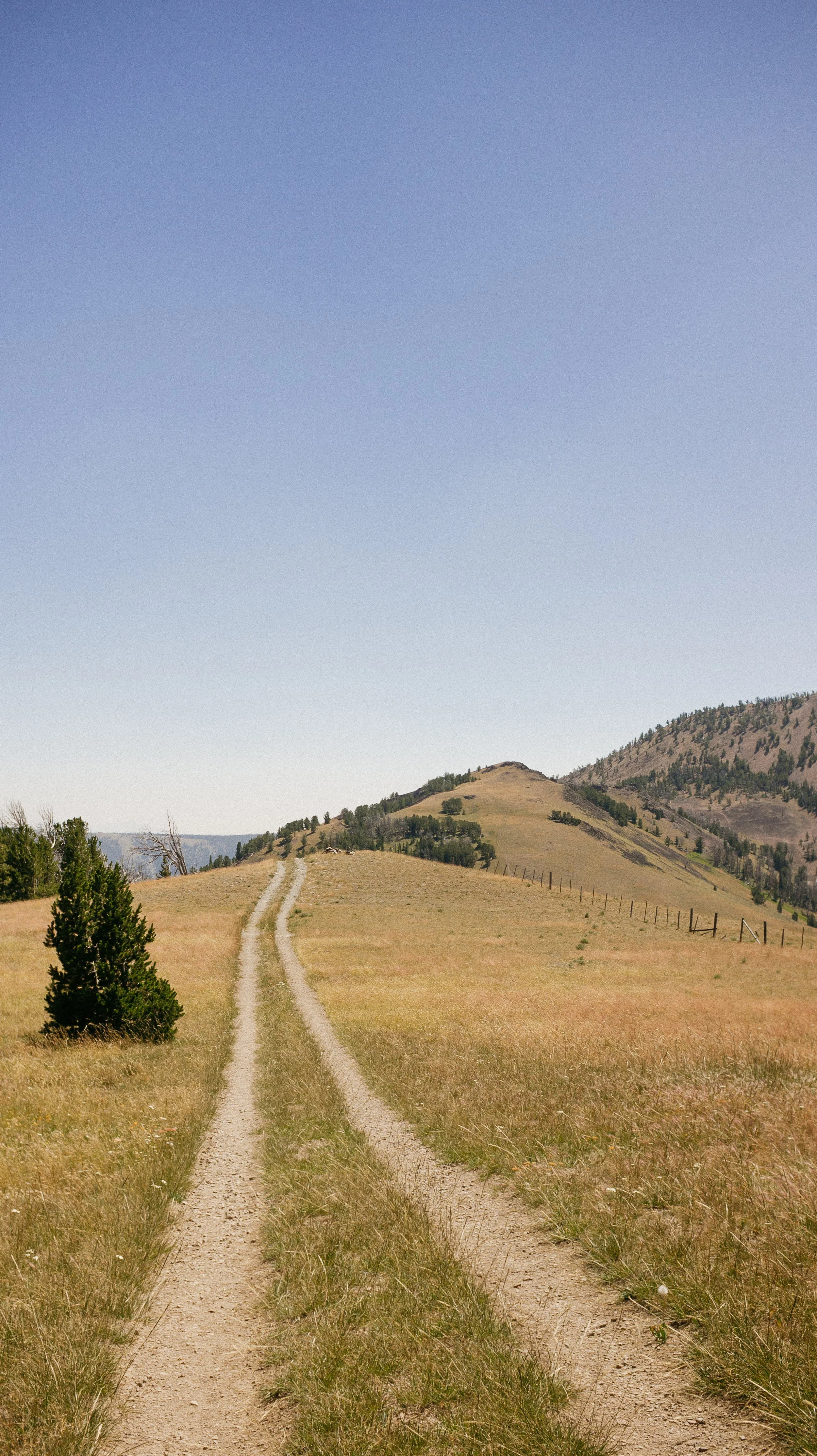
Open ridges
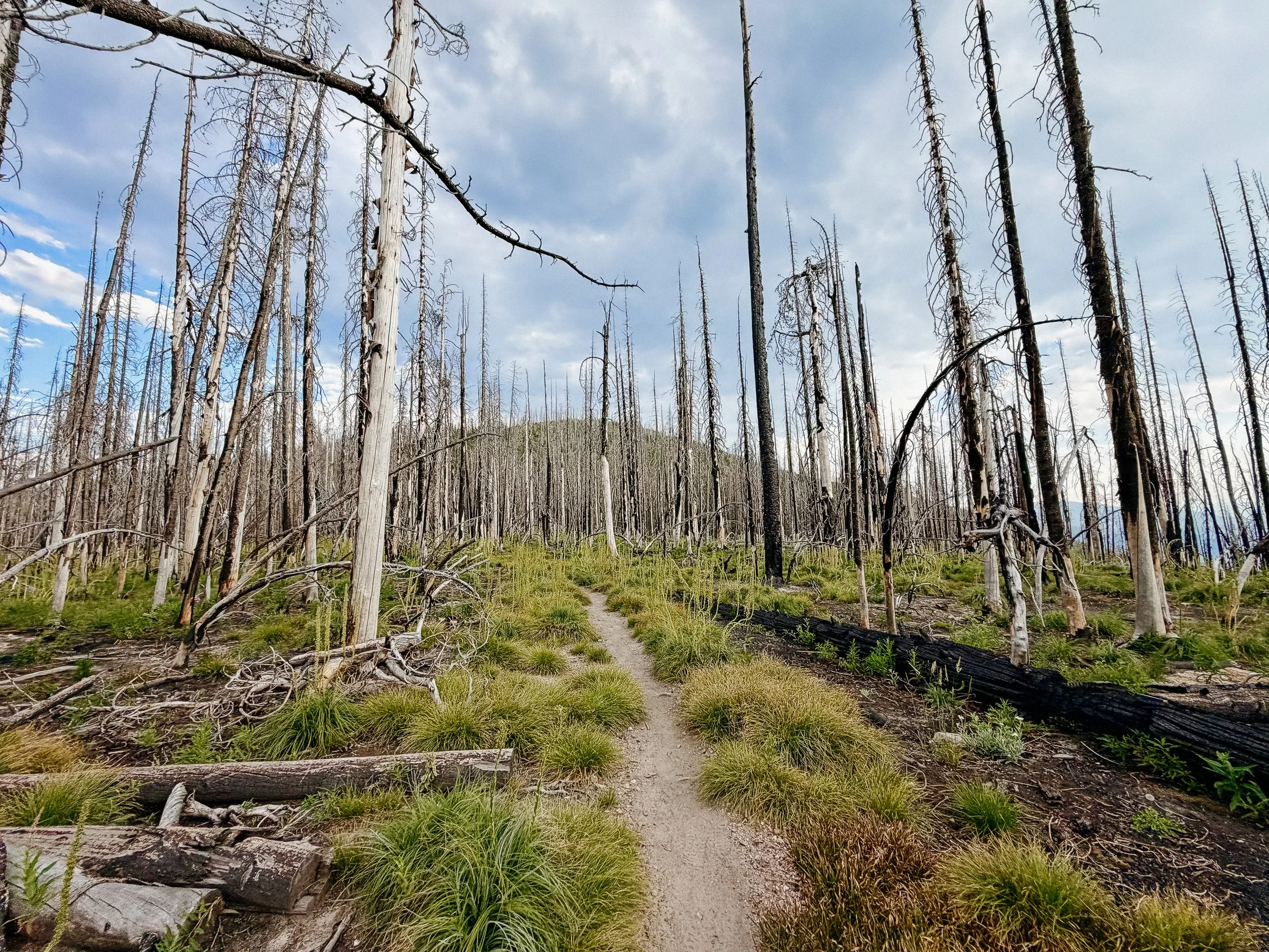
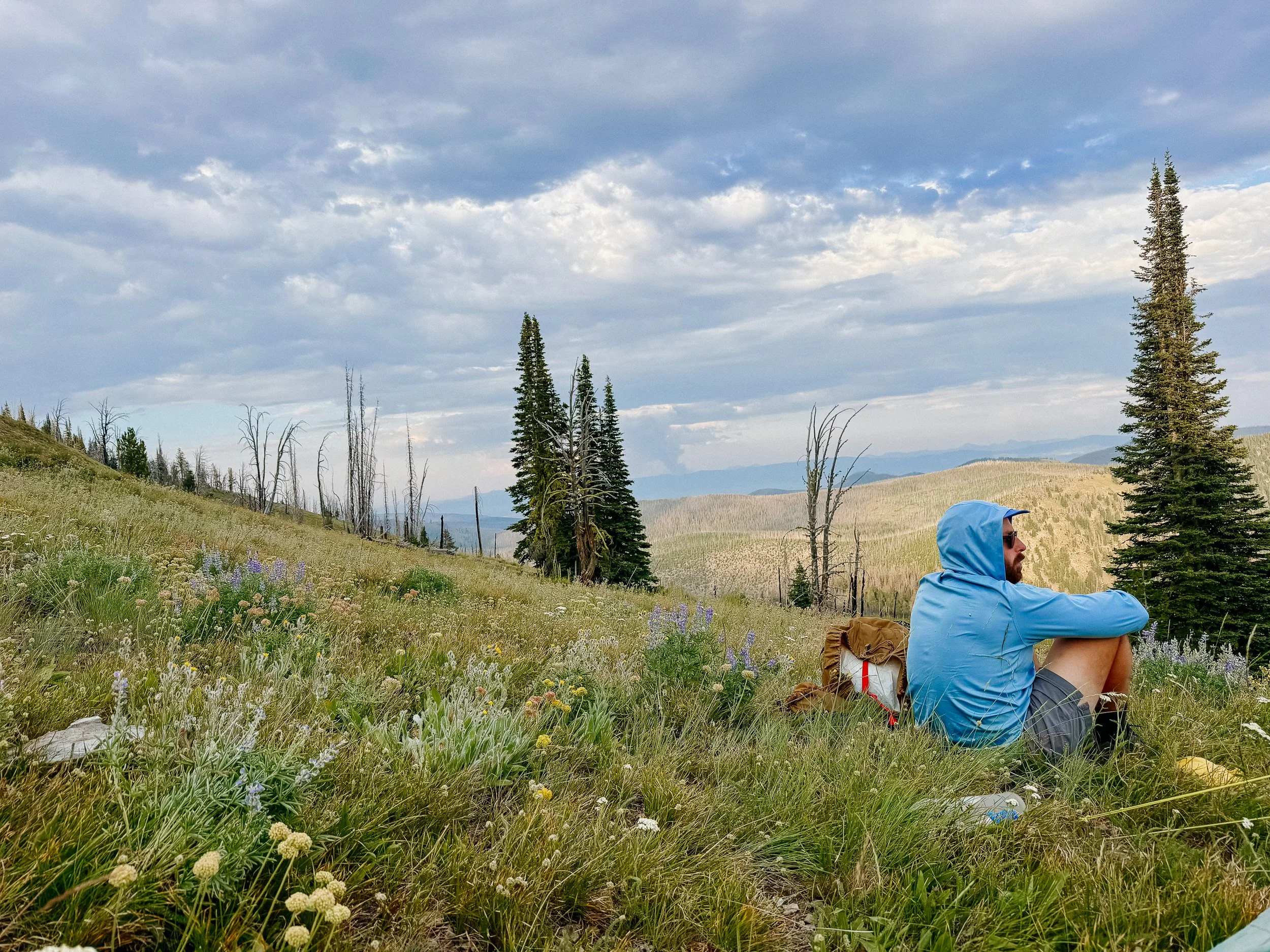
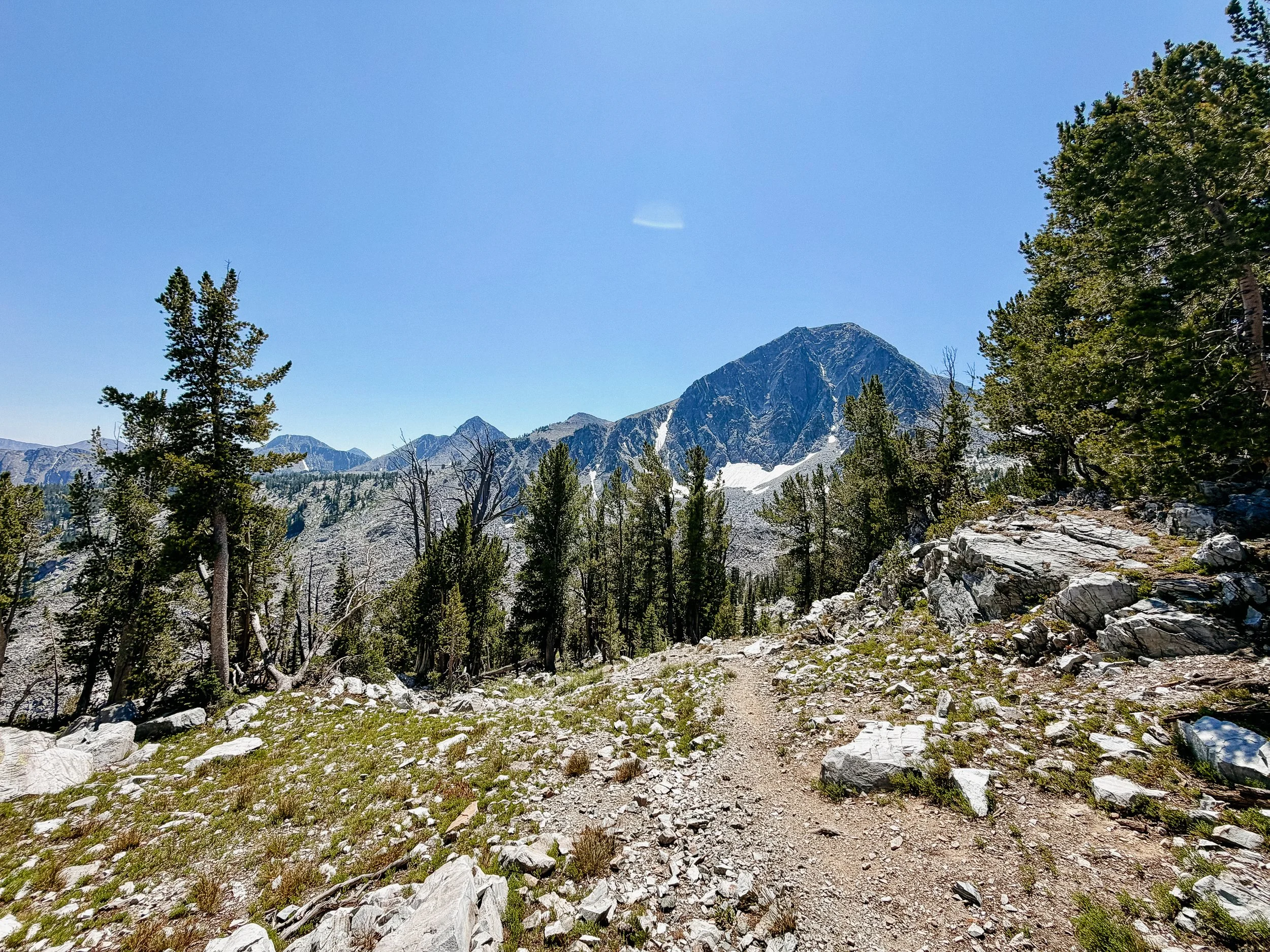
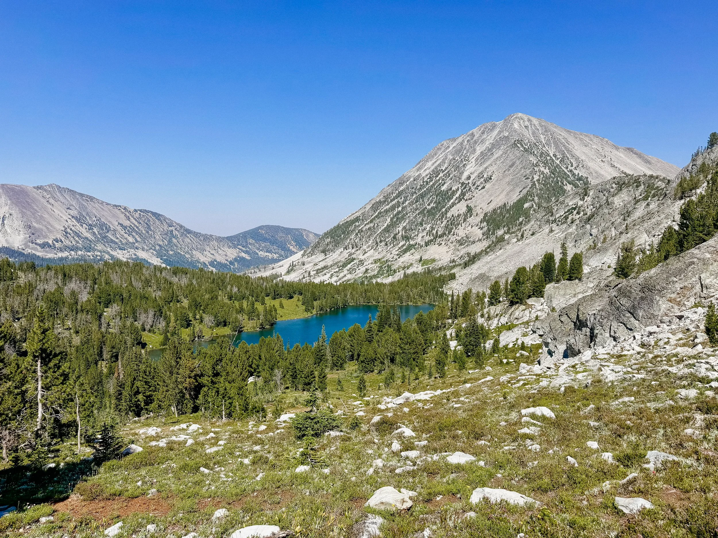
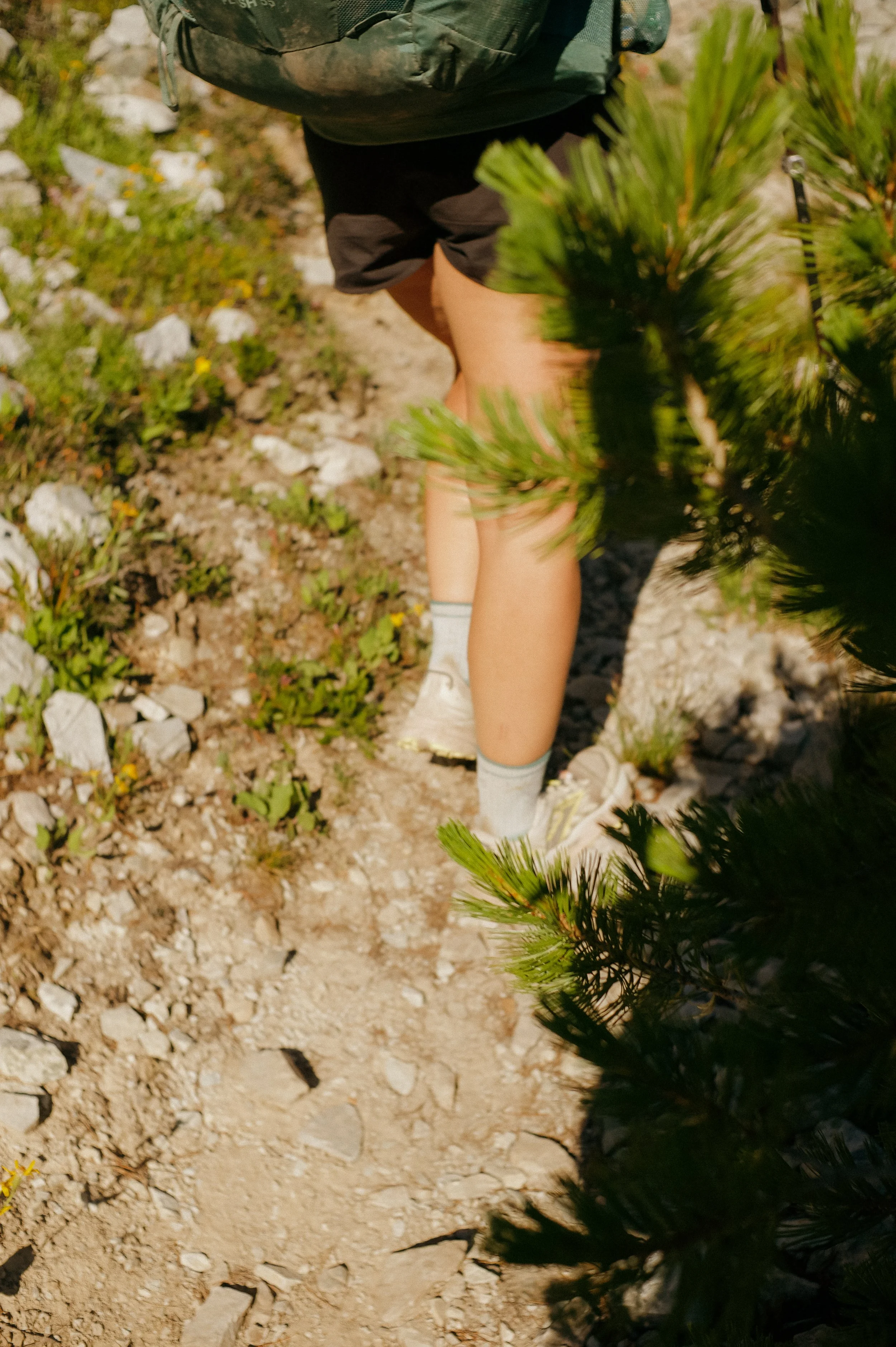
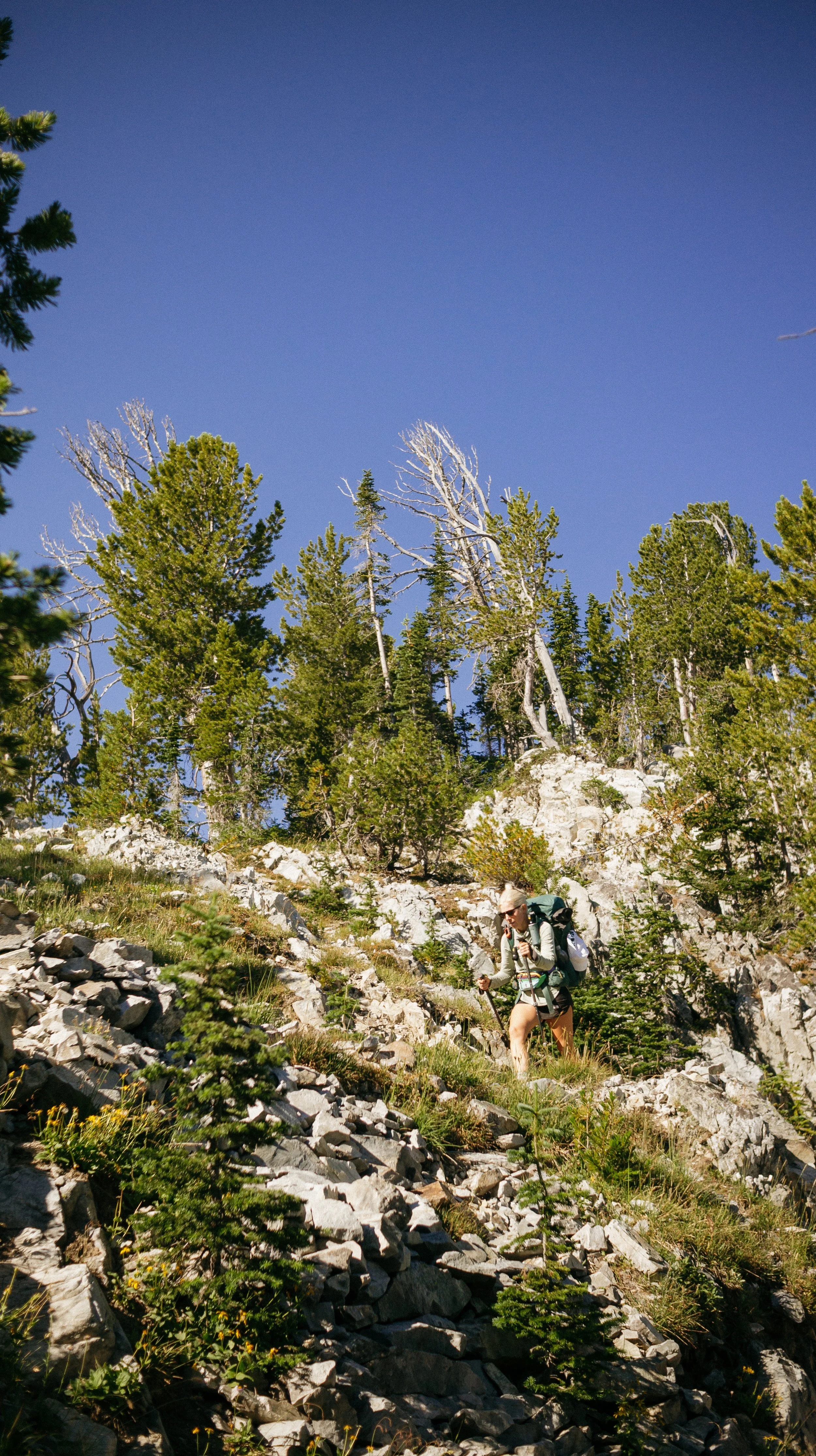
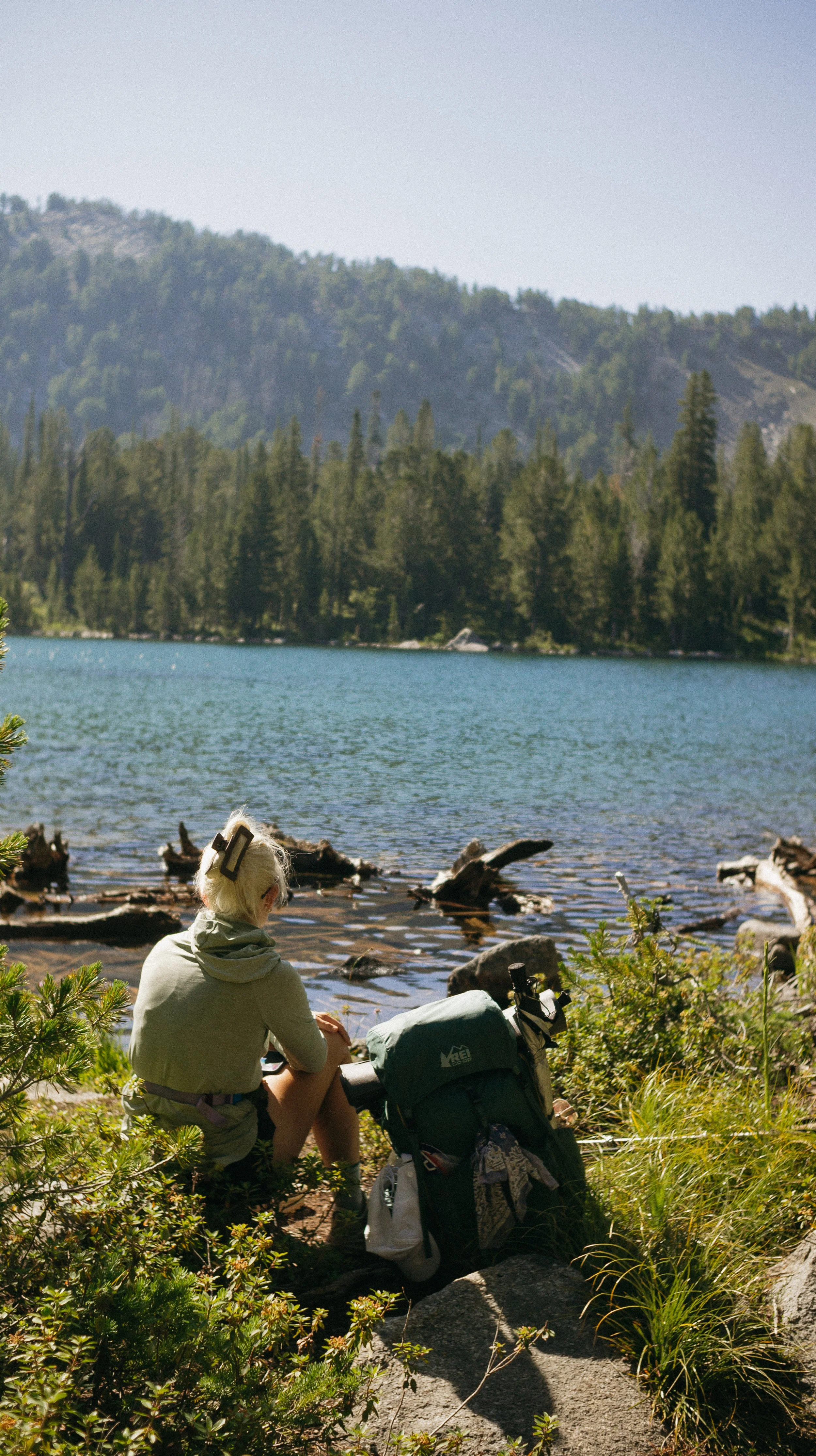
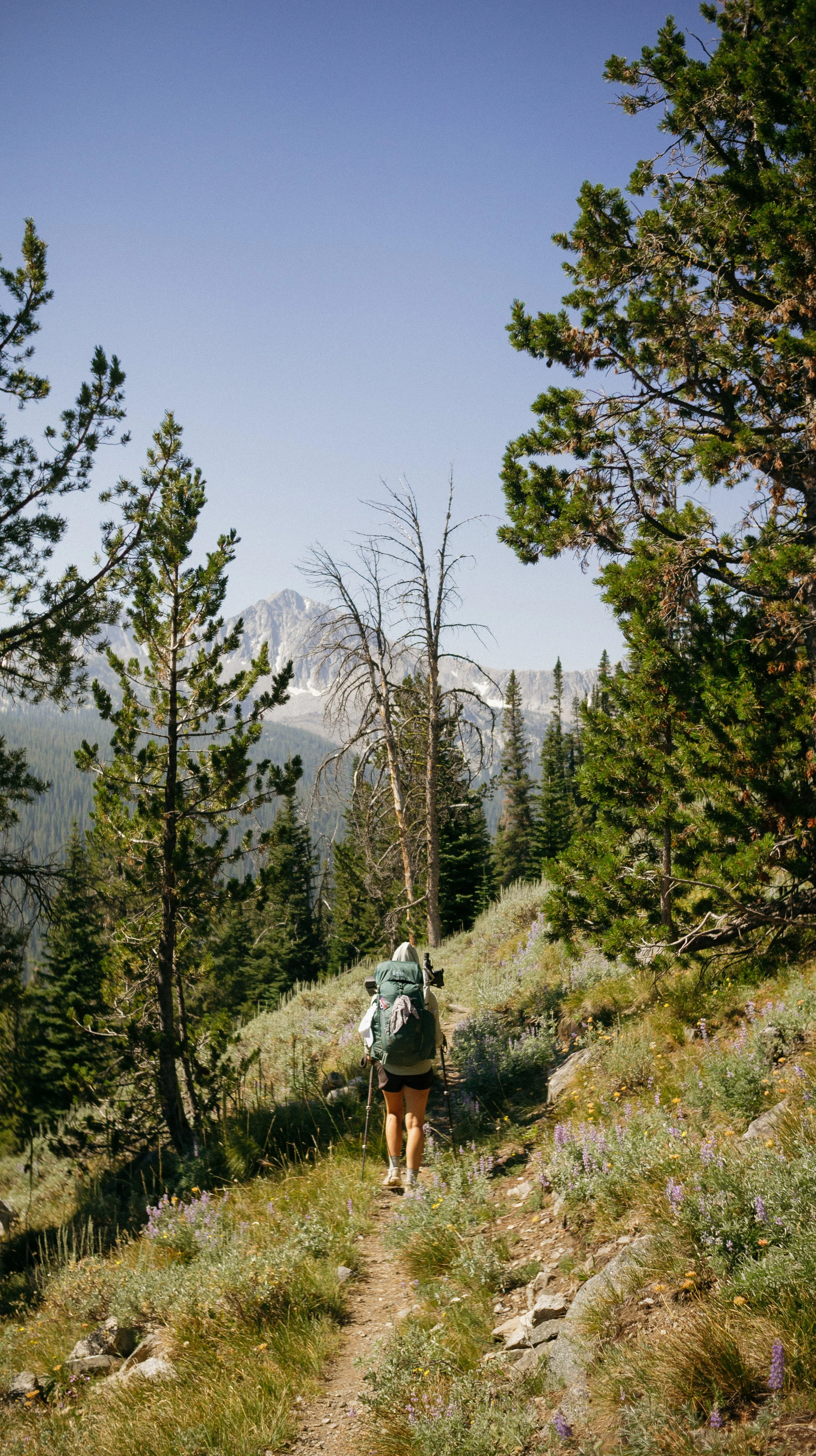
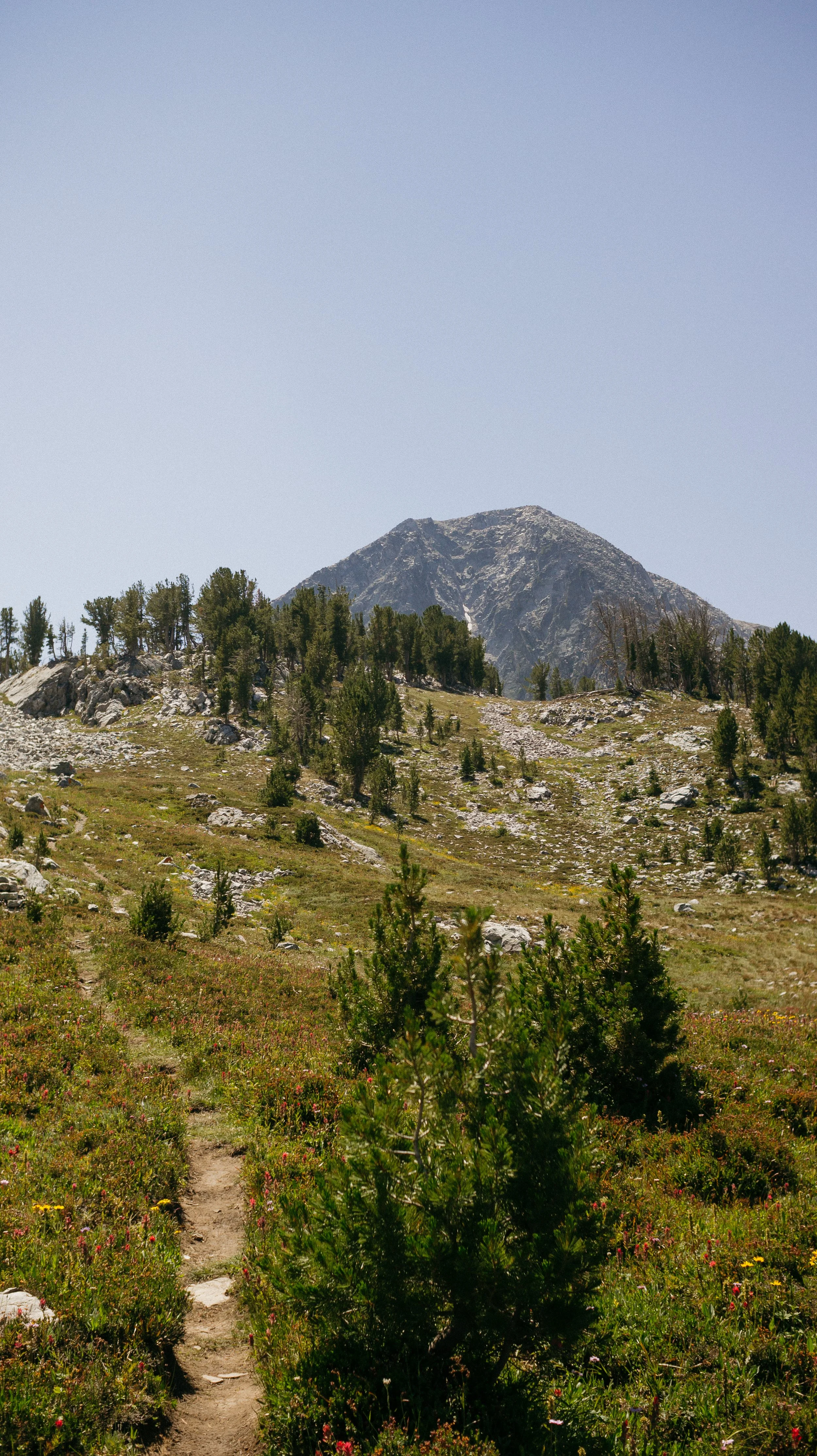
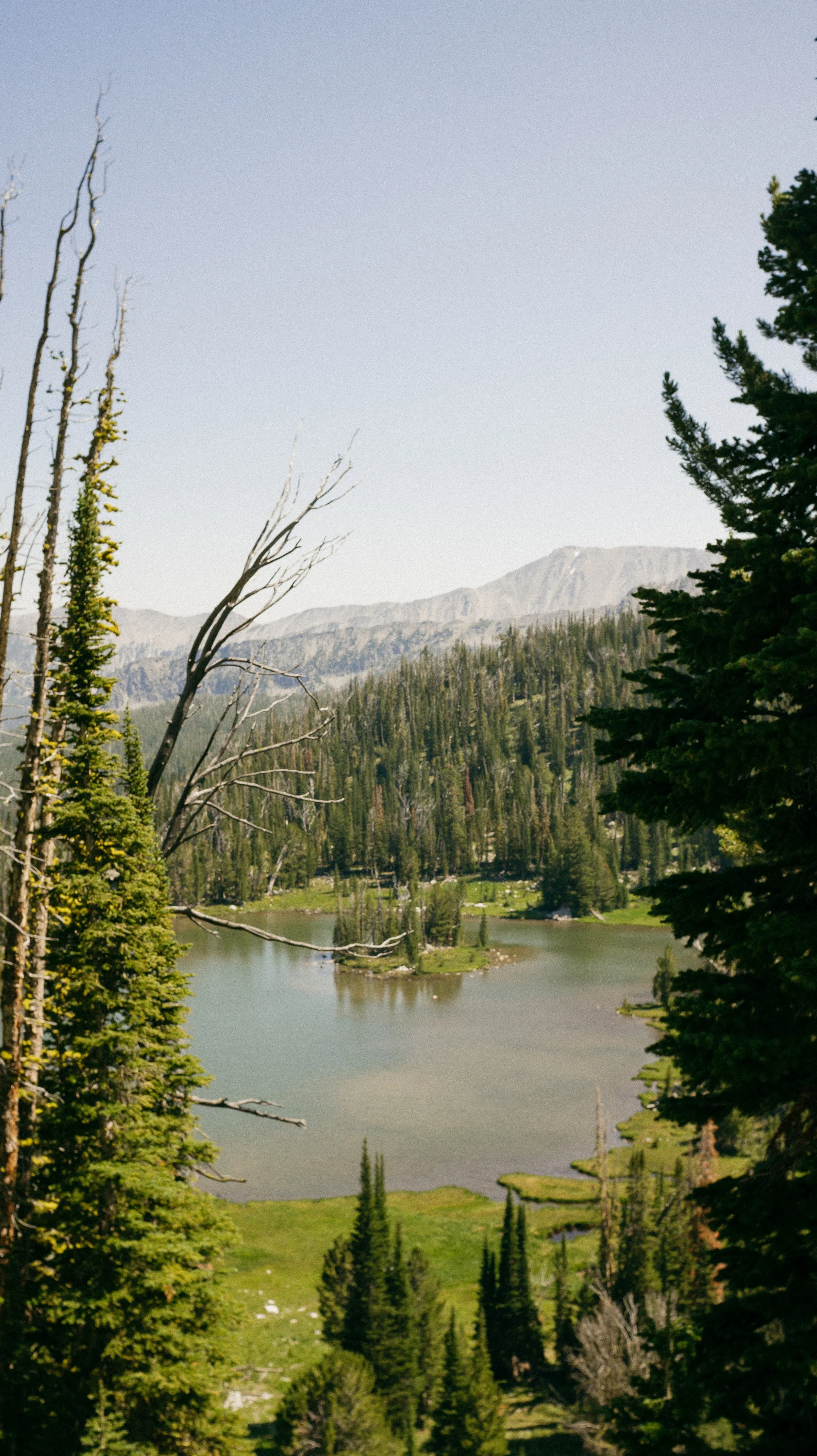
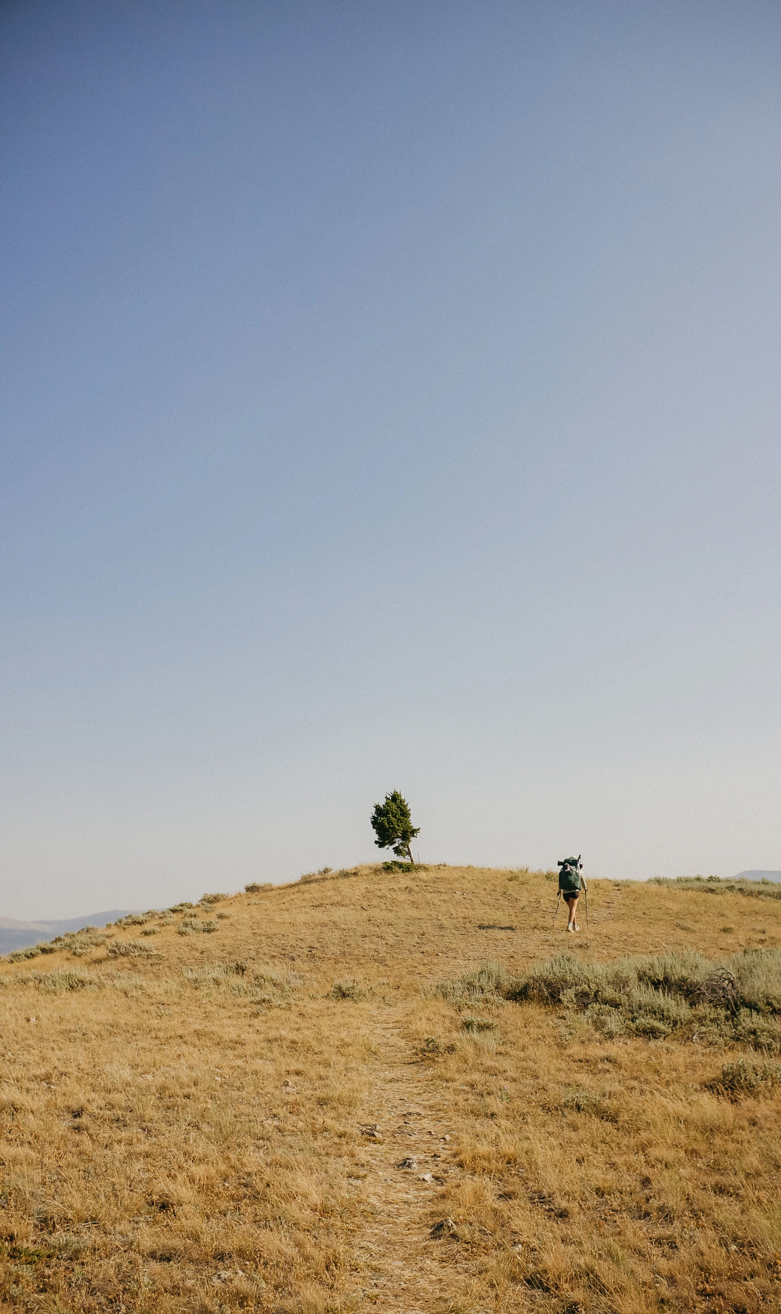
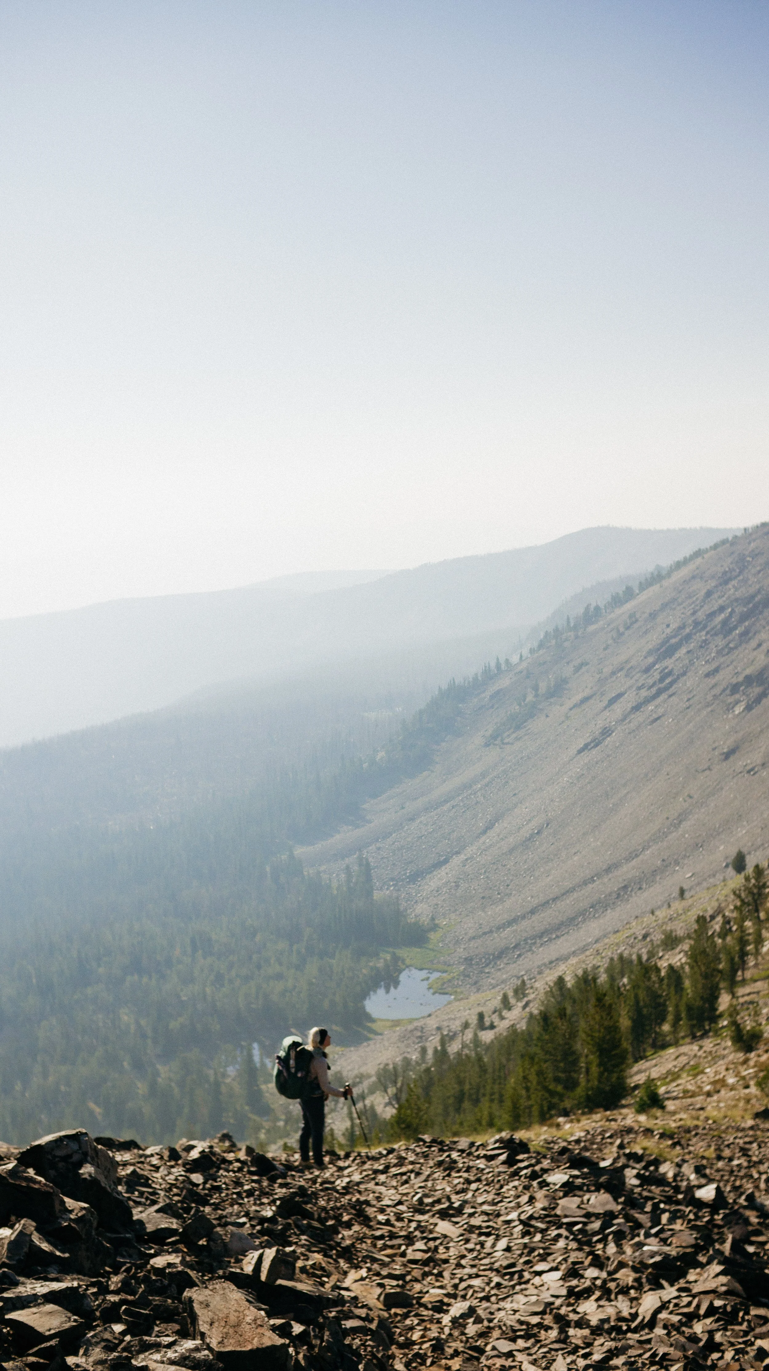
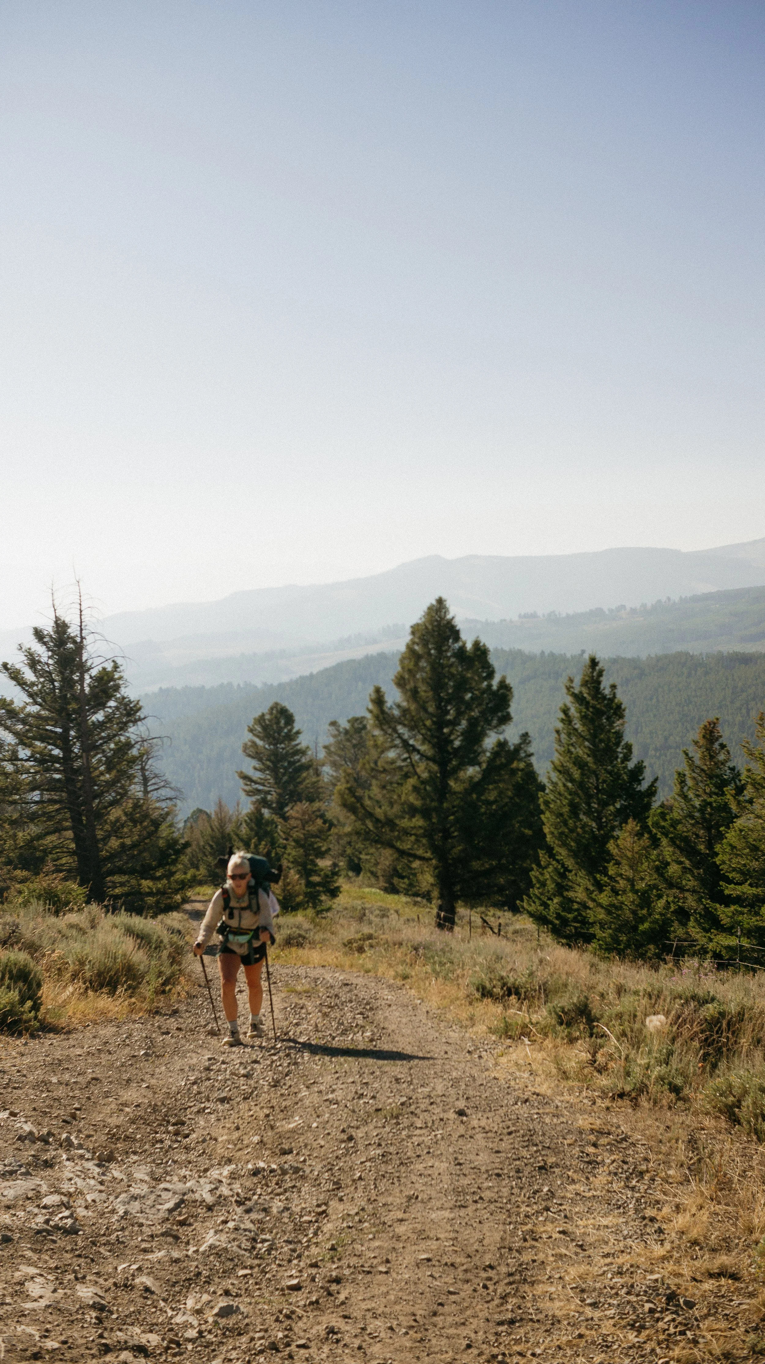
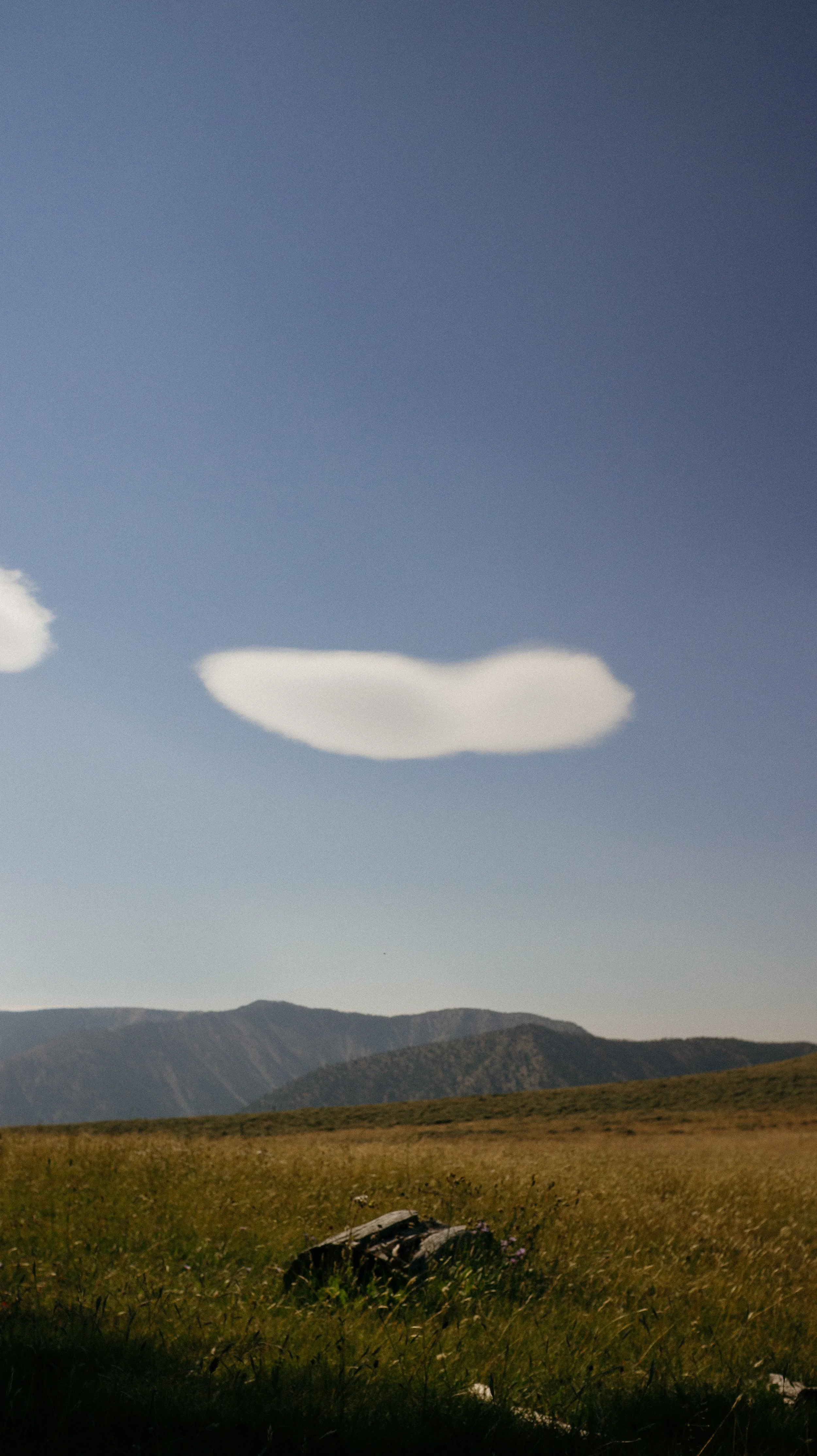
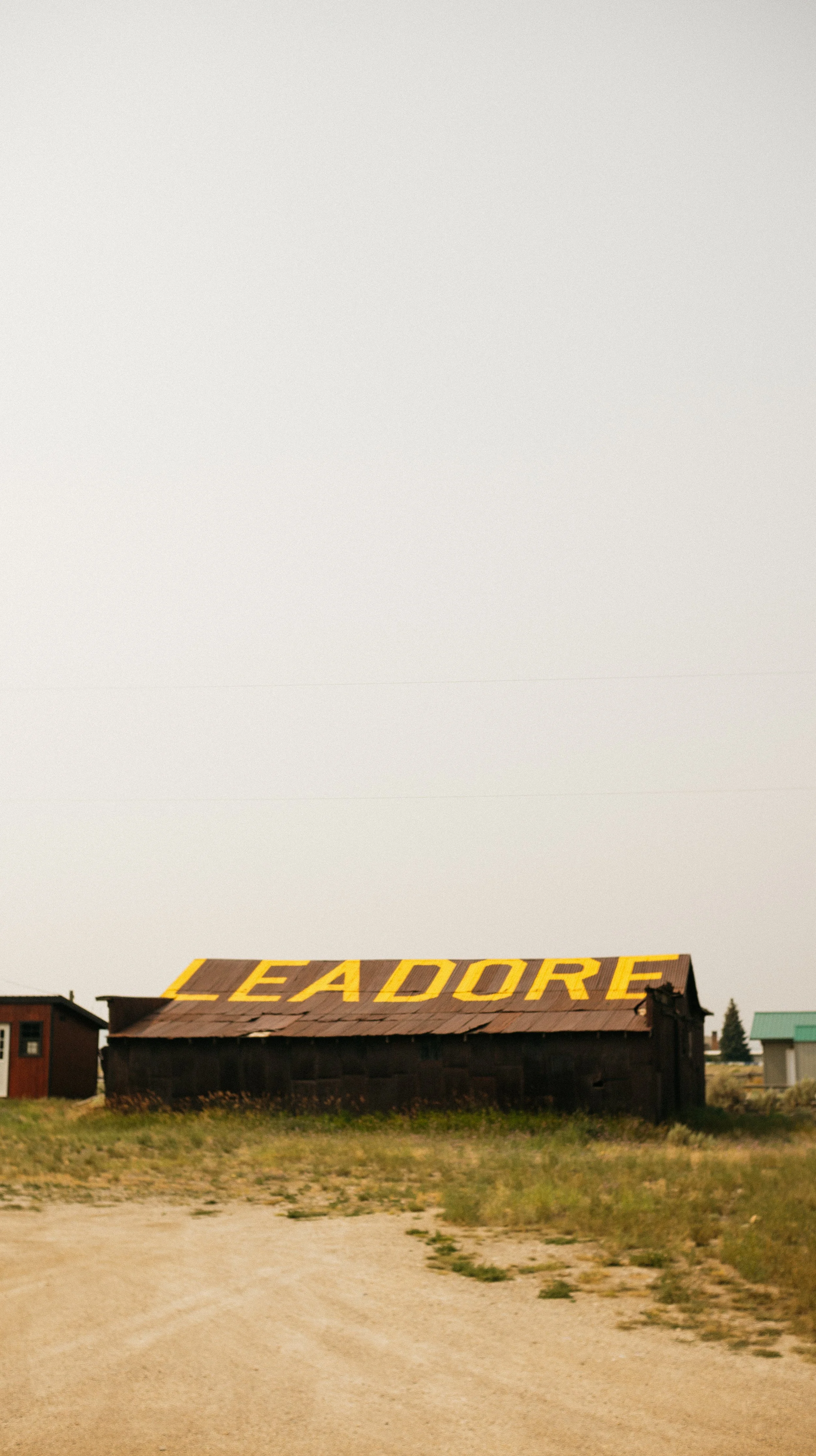
Day 36-42 took me from Darby, Montana - Leadore, Idaho. This section was longer and tougher than I originally anticipated. At times the steep climbs mixed in with heat and wildfire smoke seemed to slow my pace to a crawl. I took an extra day to complete this one, so always bring a little extra food! There was a perfect mix of high Rocky Mountain tops, perfect lakes, and open vistas over cow country that there was always something to look at!
OVERVIEWTOTAL DAYS7
FULL HIKING DAYS5
zeroes0
neroes2
TOTAL ELEVATION GAIN24,549 ft
TOTAL ELEVATION LOSS24,333 ft
MILES COVERED125.9 miles
-
Continuing to complete miles even though this was a tough section
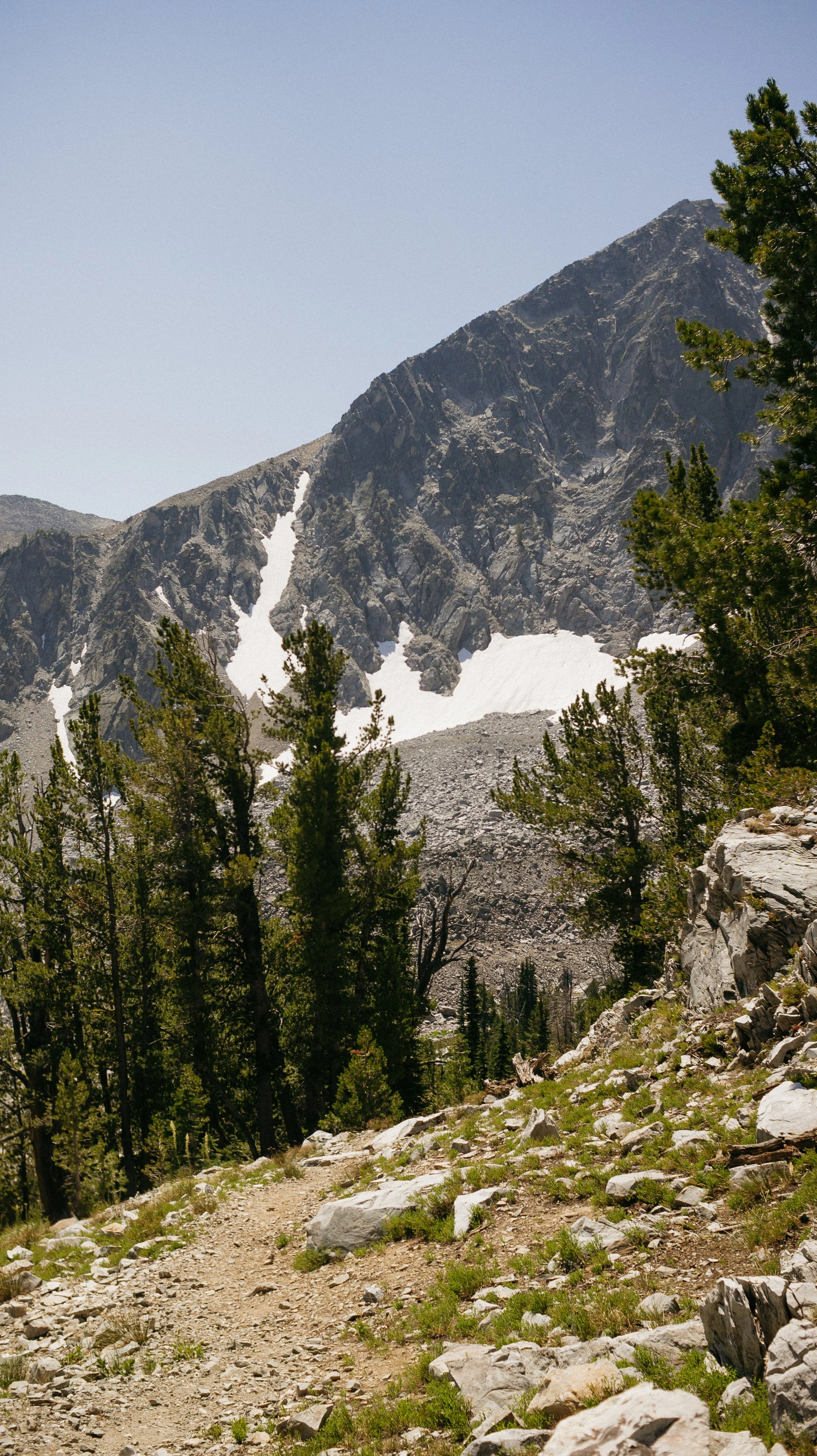
The variety of landscapes; Rocky Mountains, steep pastures, glacier, wildflowers
Seeing a Pacific Crest Trail friend on the CDT, Margarita!
-
Got behind a day of schedule because of difficulty hiking leading to questions of competence and fitness
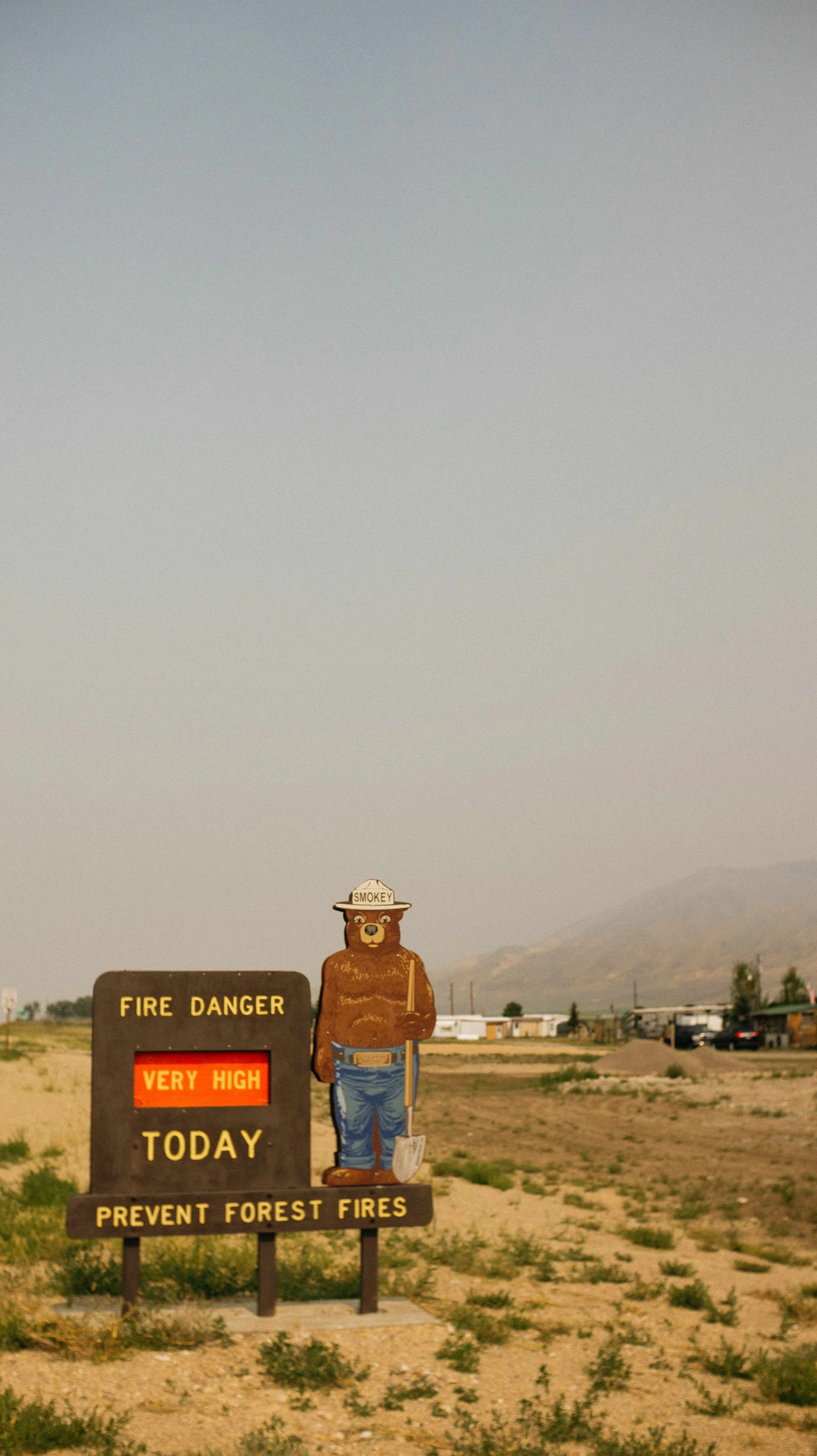
Smoke in the air is tough to hike in but tougher on the communities and first responders
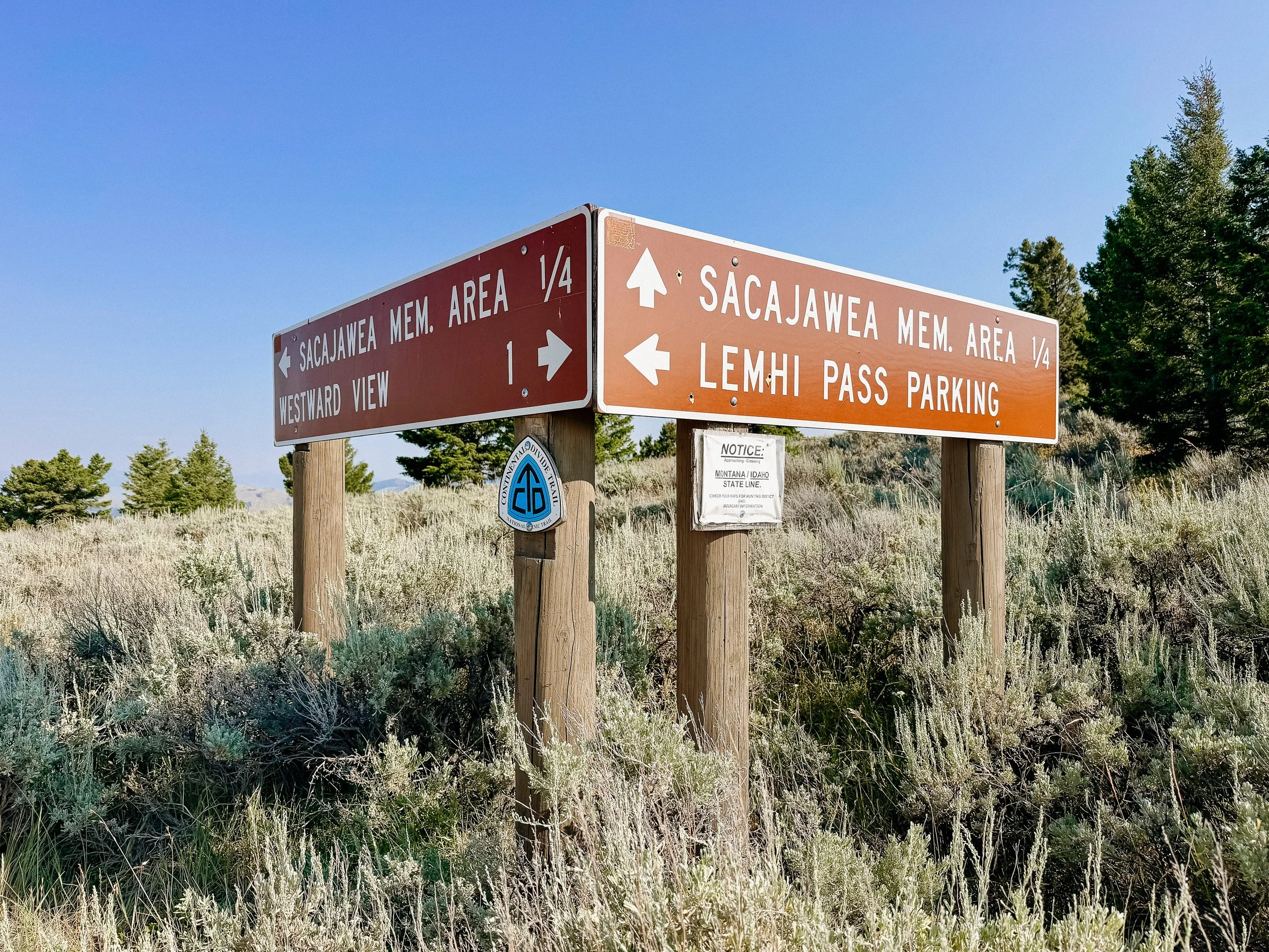
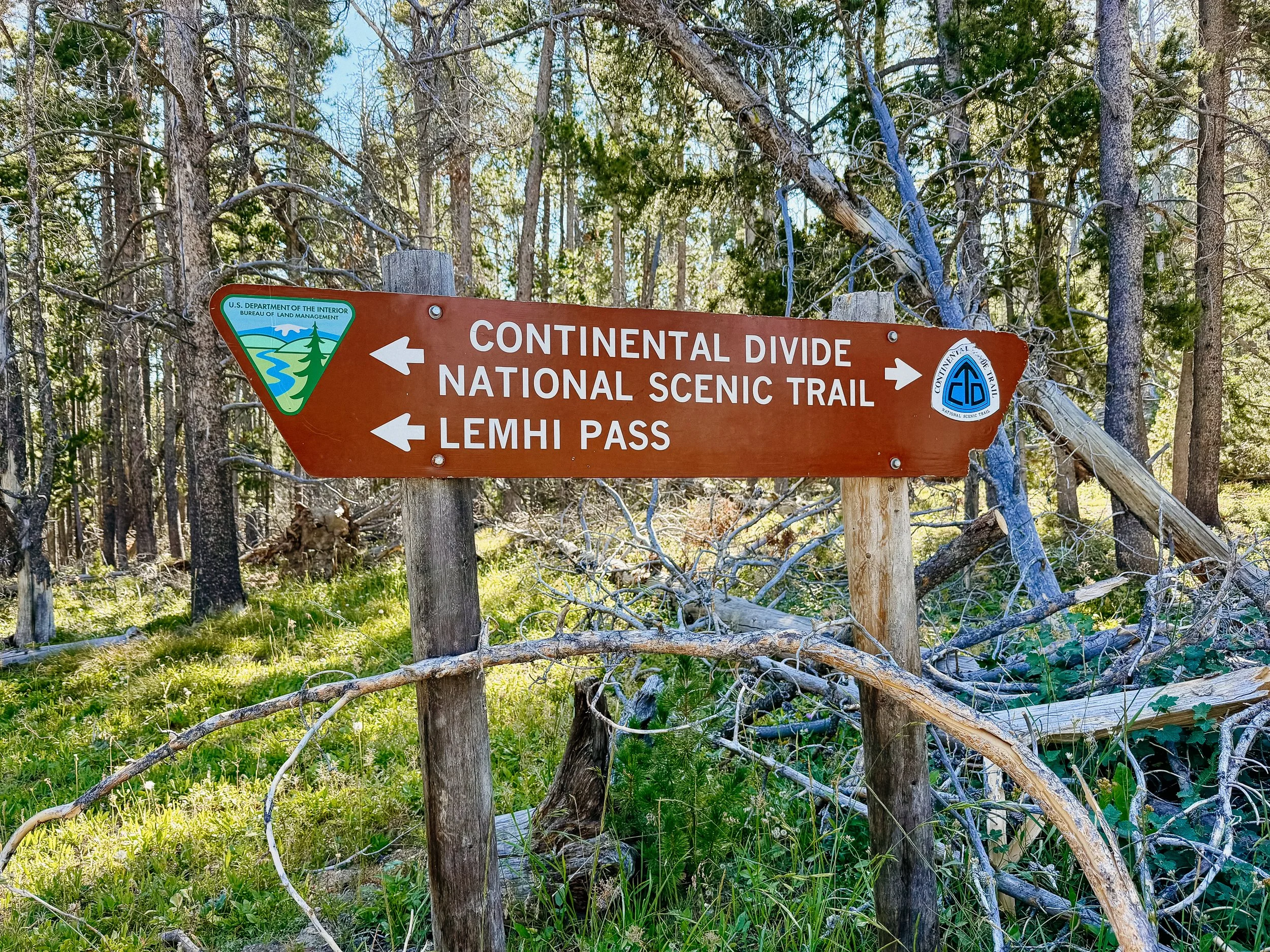
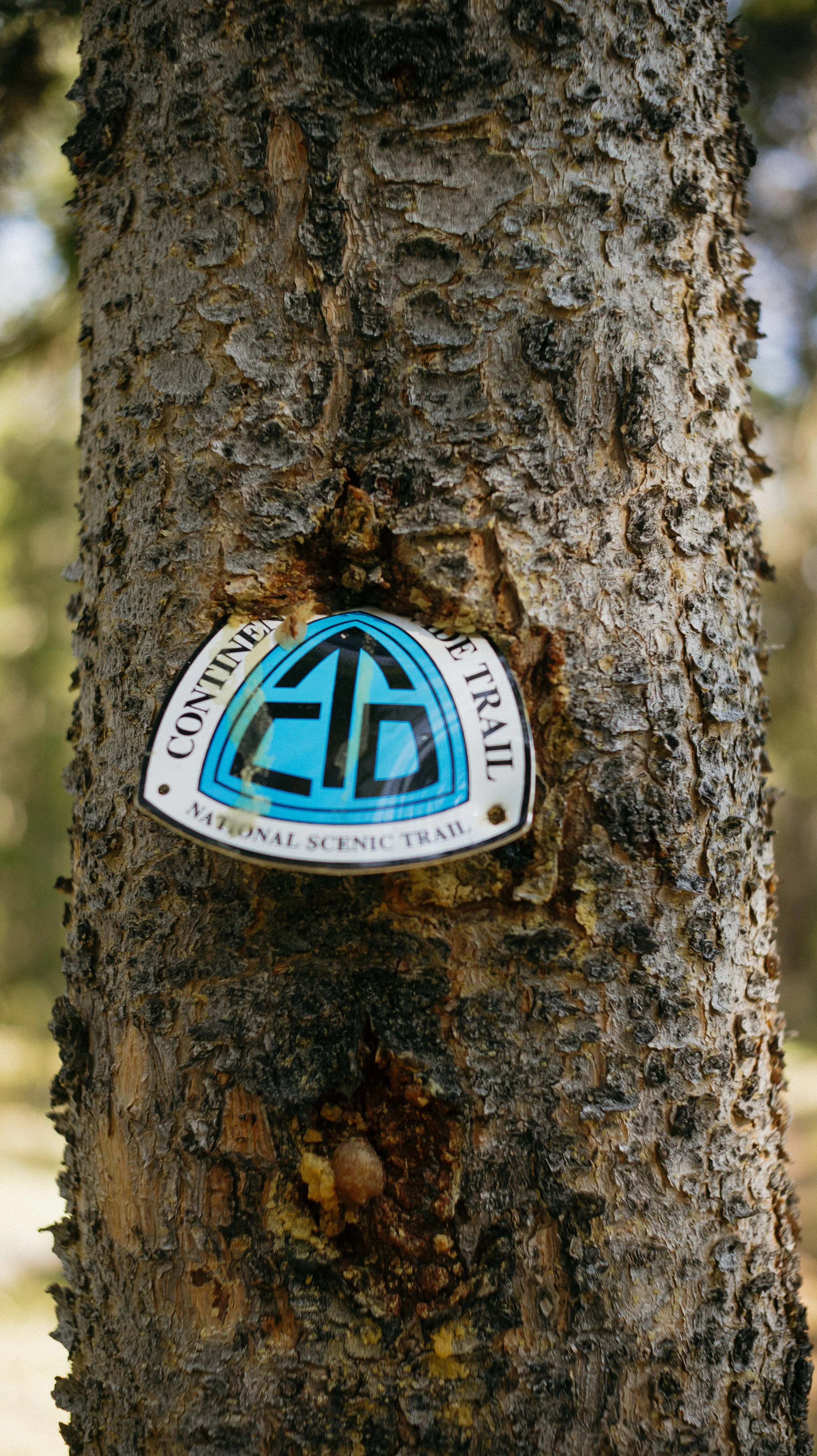
Signage
In Depth
-
SLEEP: Camp at Mile 643.4
MILES: 11.1
ELEVATION GAIN: 2369 ft
ELEVATION LOSS: 1562 ft
WEATHER: Hot, Sun, Smoke
OVERVIEW: Ill on the trail! No!
Like any town stop, I soak in the amenities and do not move quickly. A slow morning in the beautiful accommodations of the Darmont Inn came to a close. I softened the blow by going back to the Montana Cafe and having another lovely giant breakfast.
While at breakfast, George and I began chatting with a son and father duo, Chris and Wendall, that were about to embark on a 6 day rafting trip. They were a wealth of knowledge about the area but the biggest highlight is that Wendall had worked for the forest service and was integral in the CDT trail system being completed. It was great to hear stories about the trail in its infancy. They offered to give us a ride back to the trail, which we happily accepted.
At Chief Joseph Pass, I began a steep and more arduous than expected dirt road walk. My stomach was acting up so I went a fair bit slower than my normal pace. It was a hot day again with limited water, but around the midway point I met back up with George and I drank a copious amount of water. I sat around for awhile after that waiting for my stomach to settle but it never did.
The remainder of the day is a blur. Though short, it felt extremely long. I ended up vomiting three times on the side of the trail along the way. The mapping application hadn’t taken into consideration new switchbacks on the trail that ended up making the actual miles a bit longer. And I was so nauseated when I reached camp that I couldn’t eat dinner.
George had picked a beautiful spot for our tents with expansive views. Unfortunately, I saw a smoke plume in the distance and knew it was officially wildfire season.
-
SLEEP: Camp at Mile 664.7
MILES: 21.6
ELEVATION GAIN: 4780 ft
ELEVATION LOSS: 4255 ft
WEATHER: Hot, Buggy
OVERVIEW: Am I even a hiker?
Tired from the night prior with no dinner and a sensitive stomach, I was sort of dreading the day. There was a lot of elevation gain and with the heat and wildfire smoke in the air, it would make for a long one.
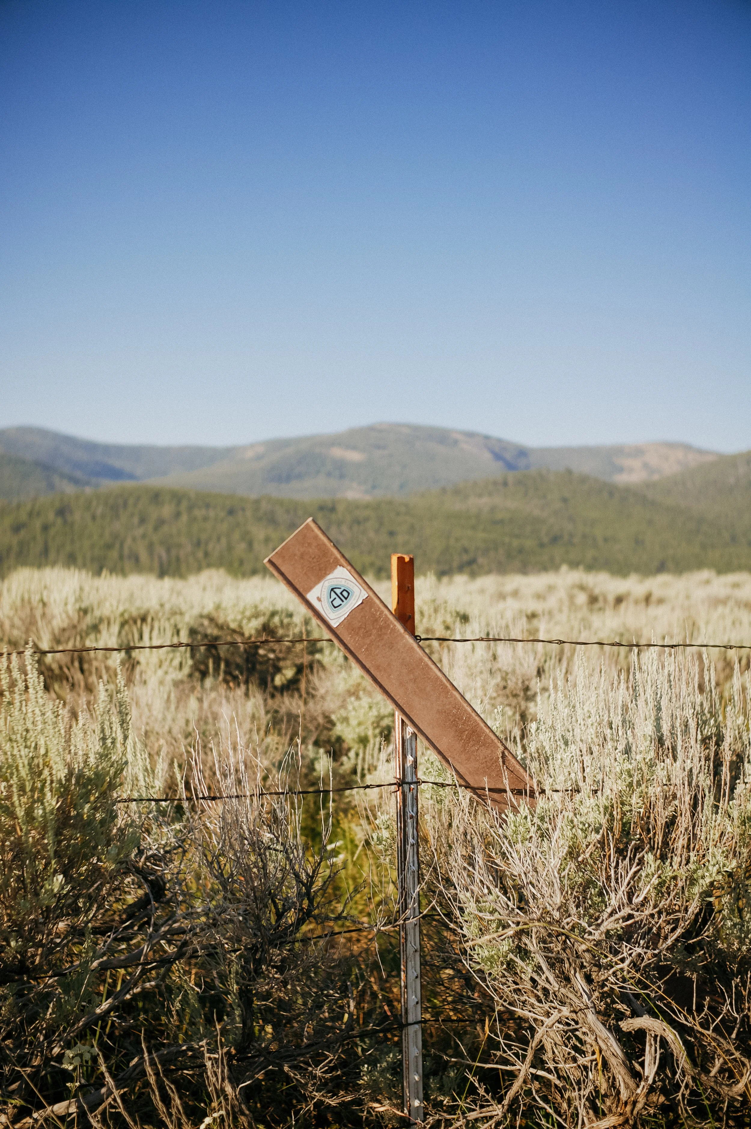
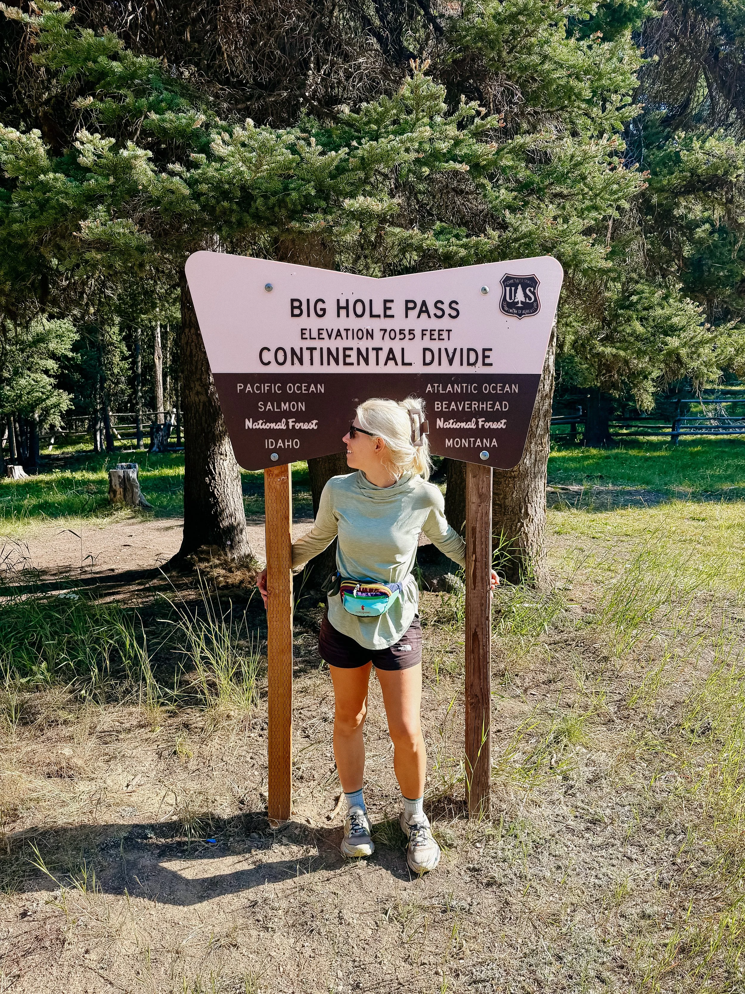
In contrast to the Bermuda Triangle of the day before, this time the trail was slightly better than what was marked. Based on the “new” trail, it cut off 500 feet of elevation gain within the first few miles. This was exciting! In addition, I would truly begin switching in and out of Montana and Idaho. There was a great sign that showed the forest delineation (pictured below).
There was one giant climb for the day of over 3000 feet. After lunch, George and I tackled it separately because I am historically a much slower hiker on inclines. The day was hot and the climb was steep. I needed to stop for rests frequently because of this which meant my pace was abismal.
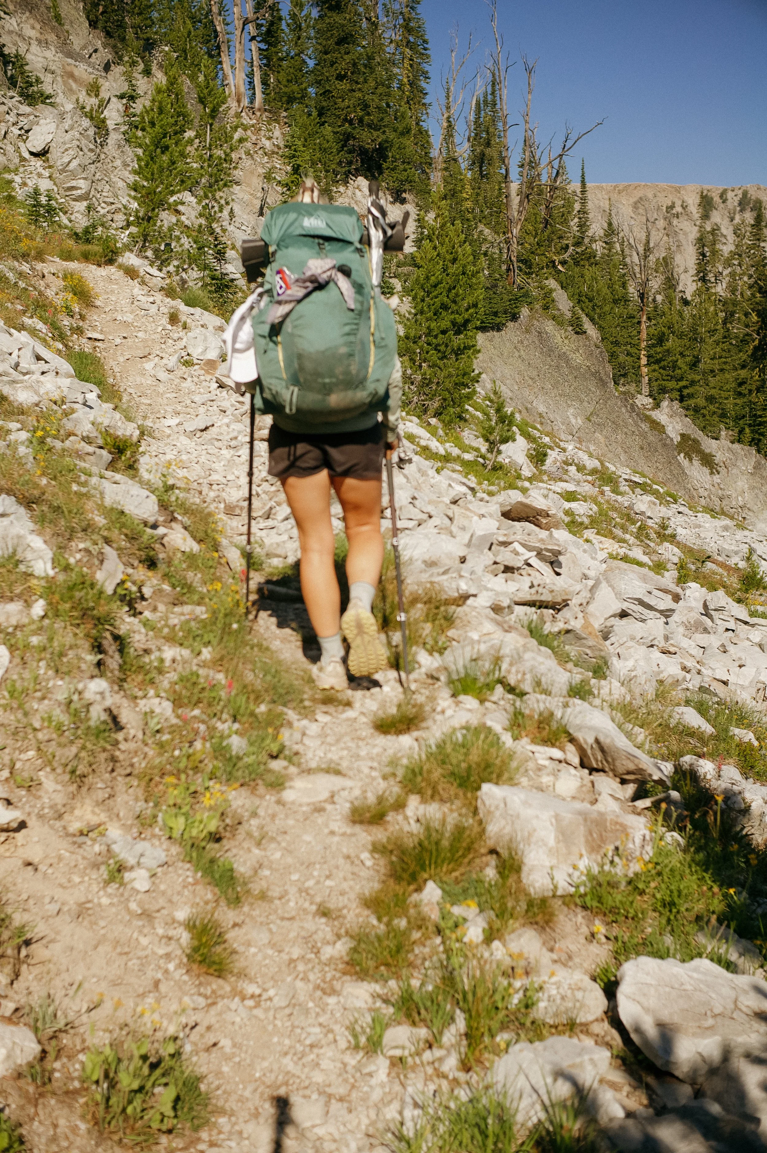
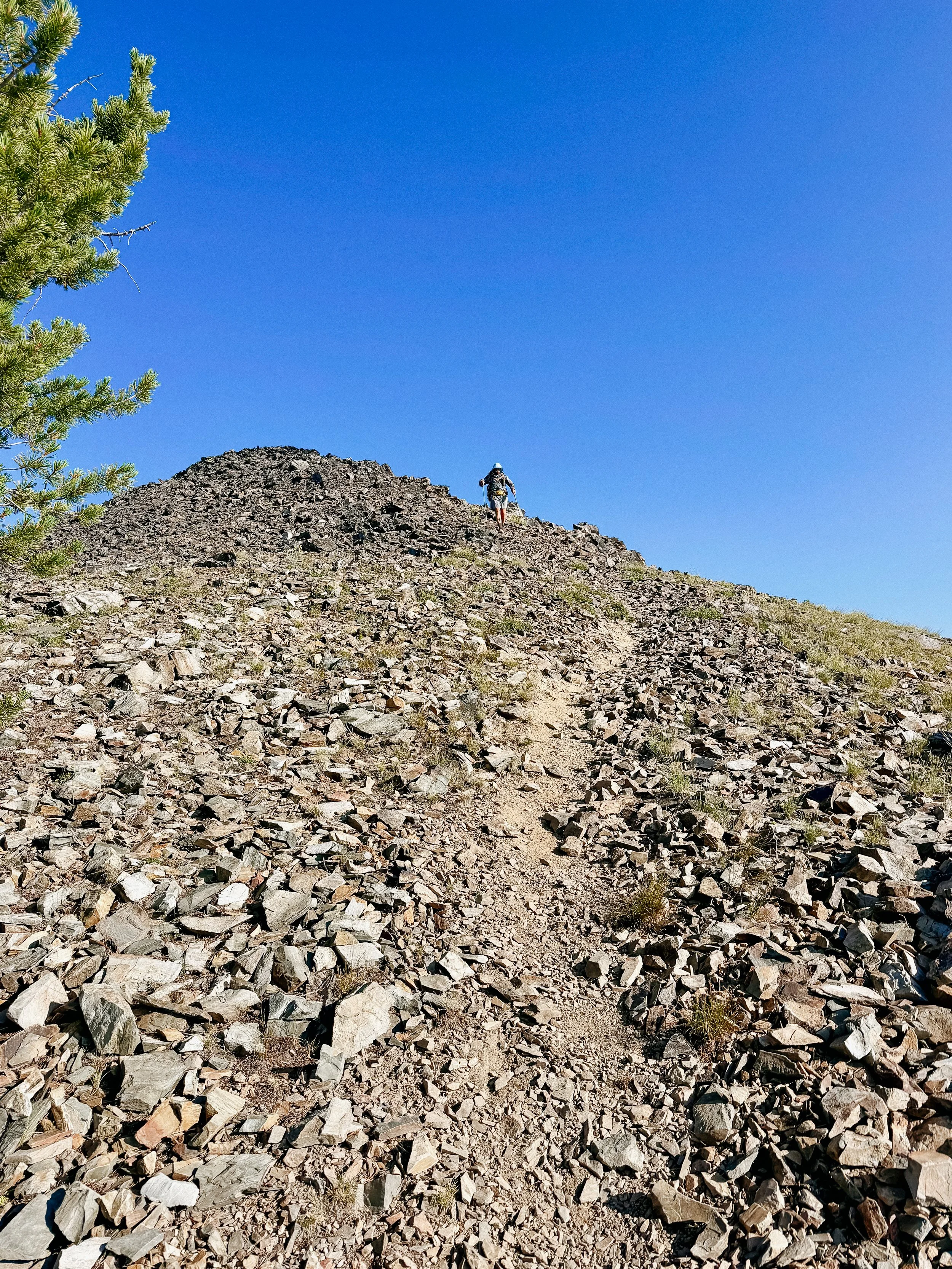
The top was completely a rock trail. It was cut appropriately and not a scramble but was difficult footing. Finally at the top, I cried. That was one of the more demoralizing climbs I had thus far on the CDT and it felt like I had not gained any fitness. The fact I still had around 5 miles to go for the day meaning a nearly 9:00 pm arrival time at my pace added to this.
I listened to an audiobook to distract me from a few miles, which did make an improvement. The difference in mindset once there has been radical acceptance that a late arrival is my fate - the better.
With just about 3 miles to go, I spot George. He is all set up and eating dinner. He had an equally frustrating day and decided to give up. So I gave up too. I had dinner short of my goal but listened to pikas ‘eep’ which drastically improved my mood.
-
SLEEP: Camp at Mile 688.4
MILES: 25.1
ELEVATION GAIN: 5033 ft
ELEVATION LOSS: 6043 ft
WEATHER: Hot, Sun, Bugs
OVERVIEW: Yay Margarita from the PCT!
An early start to make up for lost miles from the day before. It was this morning that I knew that the section would last an extra day. And this is why all backpackers should bring an extra bit of food.
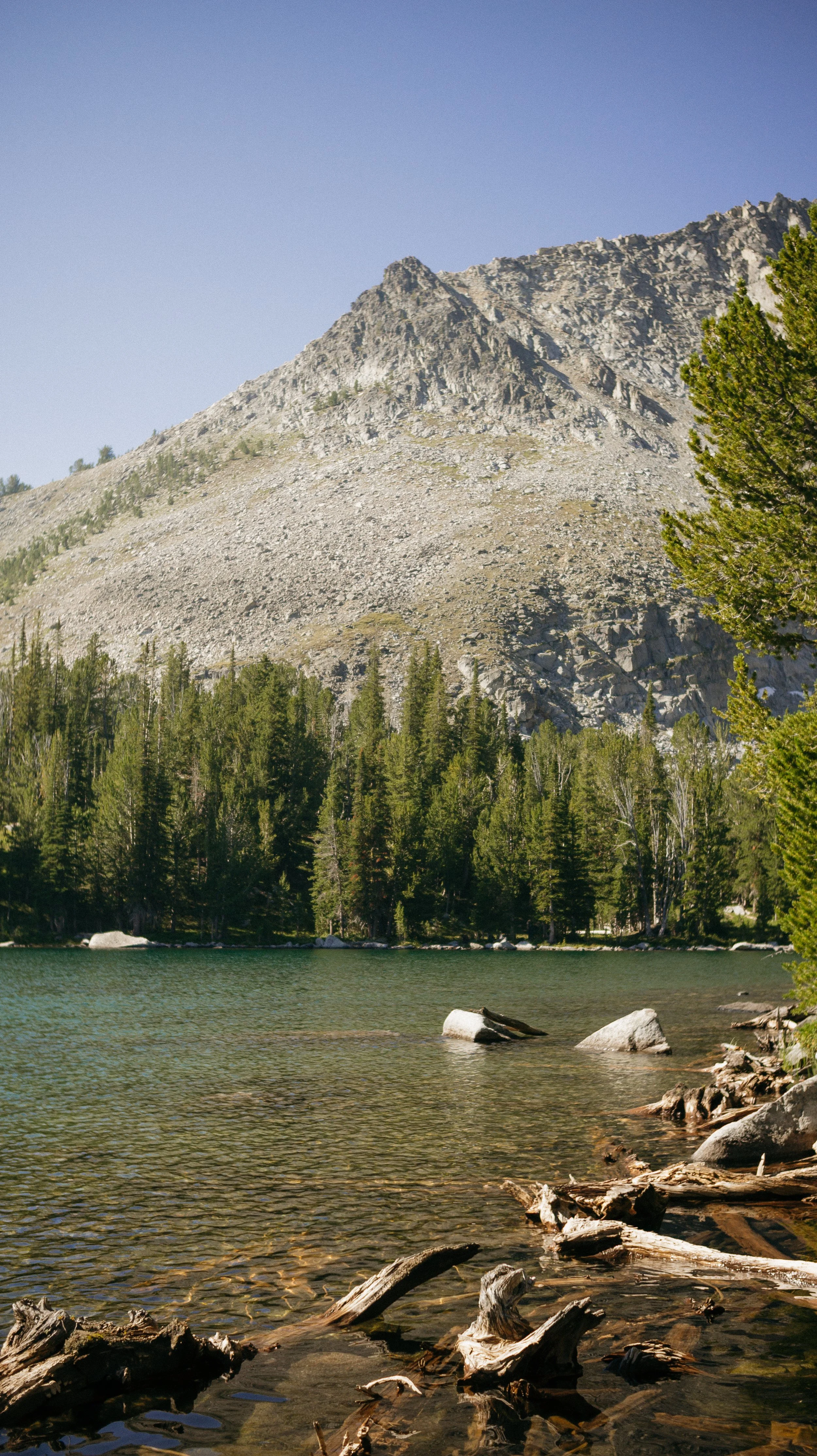
There were stunning lakes throughout this day. Crystal clear water with reflections of the mountains surrounding. There was a solid amount of elevation before lunch including a few comical sections that had me curious if the trail creators had ever hiked before.
At lunch, it was a dragonfly show. They had air supremacy over any other flying insect. This bodes well for George and I regarding mosquitos because the dragonflies would swoop around us and proactively get mosquitos that would have potentially been our vampires.
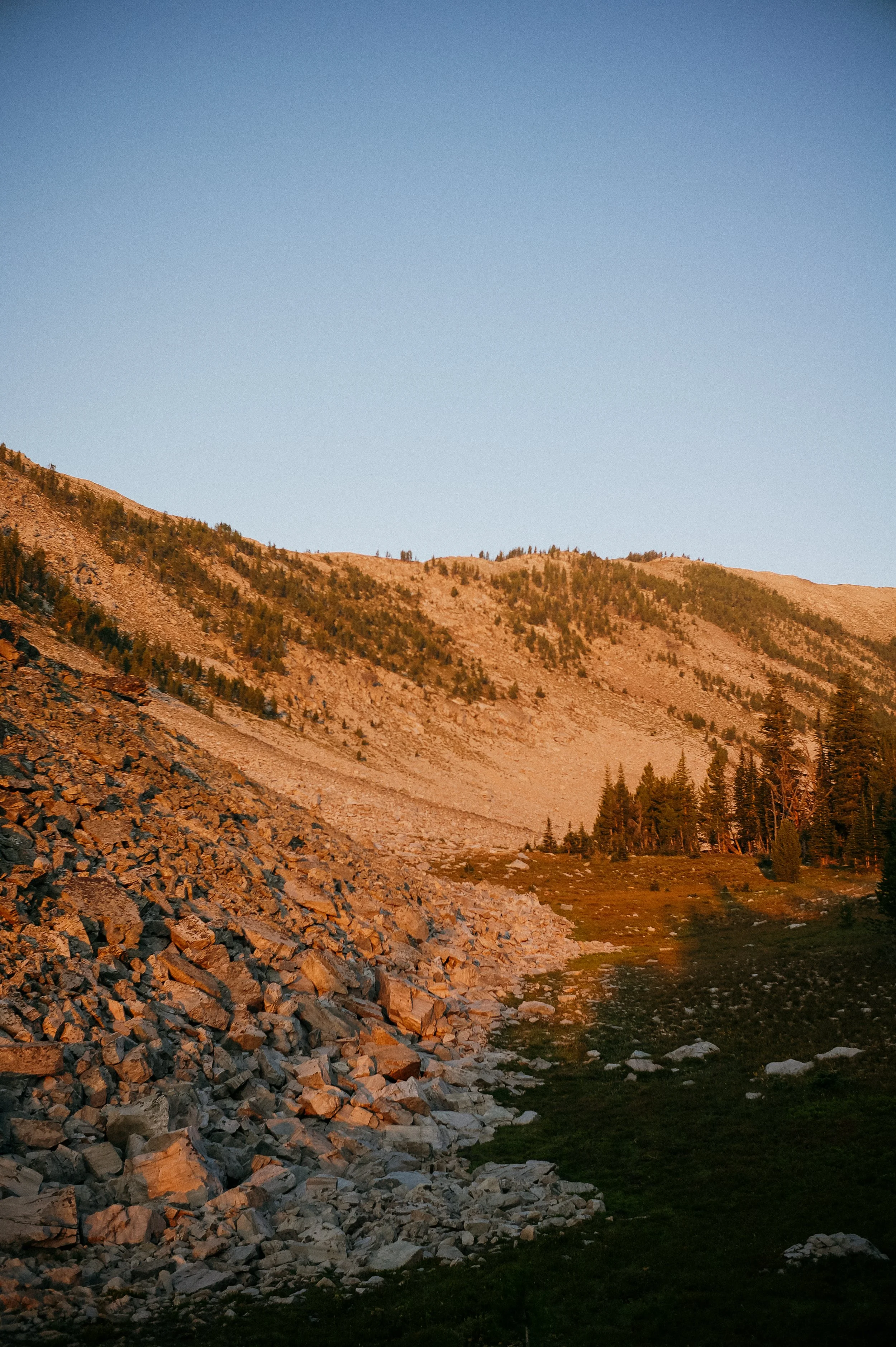
The afternoon continued to deliver both great views and steep inclines. The major gorge I climbed through wove through giant fields of wildflowers while still holding on to a bit of snow (some in glacier form). The rocky top of the climb quickly descended into cairn chaos as the trail was hard to find.
At the bottom of the descent, just before another climb, I see a familiar face, Margarita! She hiked the PCT in 2024 as well and our groups leap frogged one another for thousands of miles. I knew she was northbound on the CDT and we were looking forward to the day when we could high five along the way. We chatted for much longer than I expected about life and trail intel, which was such a nice treat after a tough day. With a 1100 foot climb to go and several miles, we bid farewell. I just adore other strong women in the outdoors.
The last climb was brutal. I thought it was 500 feet but it was 1100 feet. Then after the climb, my mileage was not adding up. I was in a terrible twilight zone of miles on my watch/legs but slow on my maps. Turns out I was not the only one as George stopped early again. He too was thrown by the mileage. As it approached 9:00pm, we would have to catch up the mileage another day.
-
SLEEP: Camp at Mile 708.9
MILES: 21
ELEVATION GAIN: 4324 ft
ELEVATION LOSS: 2913 ft
WEATHER: Cold, Hot, Smoke
OVERVIEW: Tired of wet/painful feet
It was a chilly morning — one of the coldest thus far. This makes it all the harder to get out of my sleeping bag and get the day rolling, but alas.
This was a rough morning. George’s shoes, and therefore feet, were just not right. As someone who rarely complains and has a smile on 99.99% of the time, it was significant to see him so upset. Excruciating pain radiated from his feet that ibuprofen was not touching. It improved once he switched to his sandals therefore we knew it was his shoes.
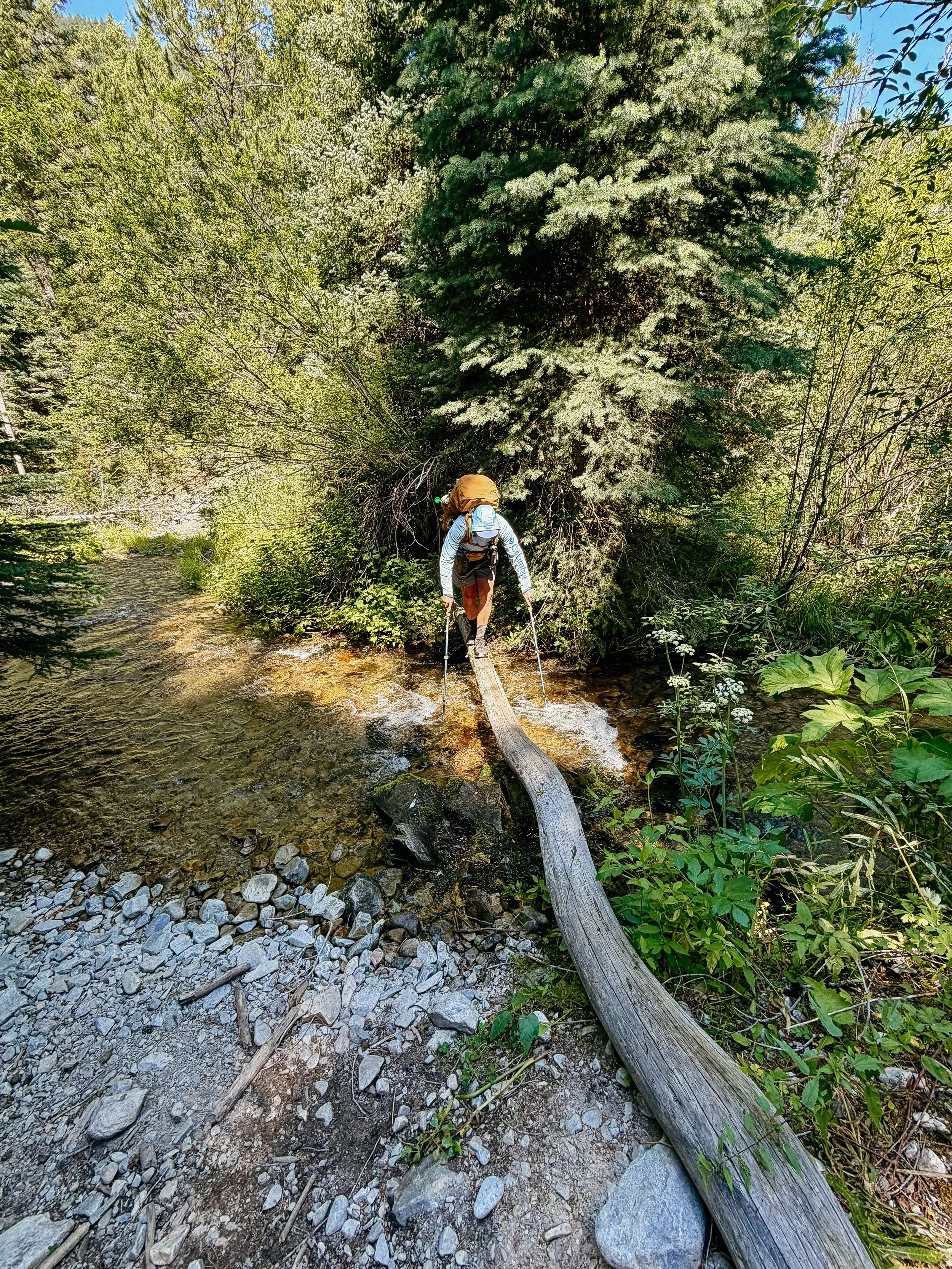
There were a lot of streams and wet feet stream crossings early in the day that would all dry up later for the afternoon. Many more northbound hikers stopped to chat which slowed my pace but filled up my cup.
The day dragged on as the climbs seemed to never end. It got very rocky/shale with short but steep near stairs. I was a bit out of breath when I realized there was not only a layer of wildfire smoke but also I was nearing 10,000 feet. This was the highest I had been thus far on the trail so no wonder breathing was difficult!
Once I arrived at the predetermined spot, I grabbed water from an annoyingly long off trail steep road walk into a meadow for water. Afterwards, myself, George, and a northbounder Mr. Tidy had dinner together at Goldstone Pass. Again, great intel for the following sections!
The temperature was already precipitously dropping so I quickly snuggled into my tent.
-
SLEEP: Camp at Sacagawea Memorial Site near Mile 728.4
MILES: 19.9
ELEVATION GAIN: 2828 ft
ELEVATION LOSS: 4700 ft
WEATHER: Sun, Hot, Smoke
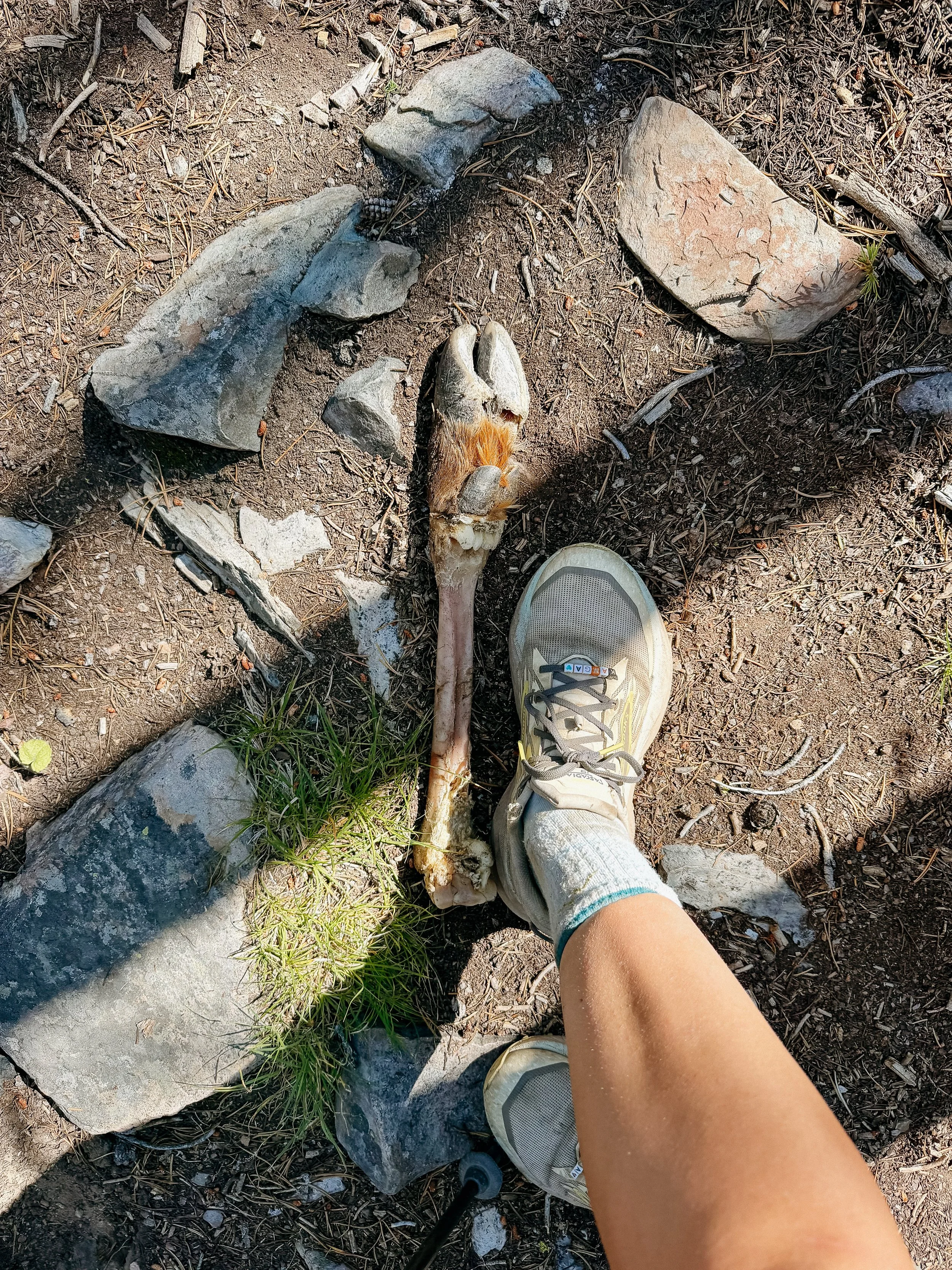
OVERVIEW: Thankful it was only deer
My word, the first few miles of the day were an absolute joke. Completely vertical and rocky, it was a rough way to warm up the legs. As it was again very cold, I guess I was not cold for long.
Unfortunately, overnight the wildfire smoke only increased. Being up as high as I was, it was clear to see the haze that hung in the air. Considering there were several fires around the area, it was difficult to pinpoint a direction that it was coming from. All I knew is that this was making it even harder to breathe.
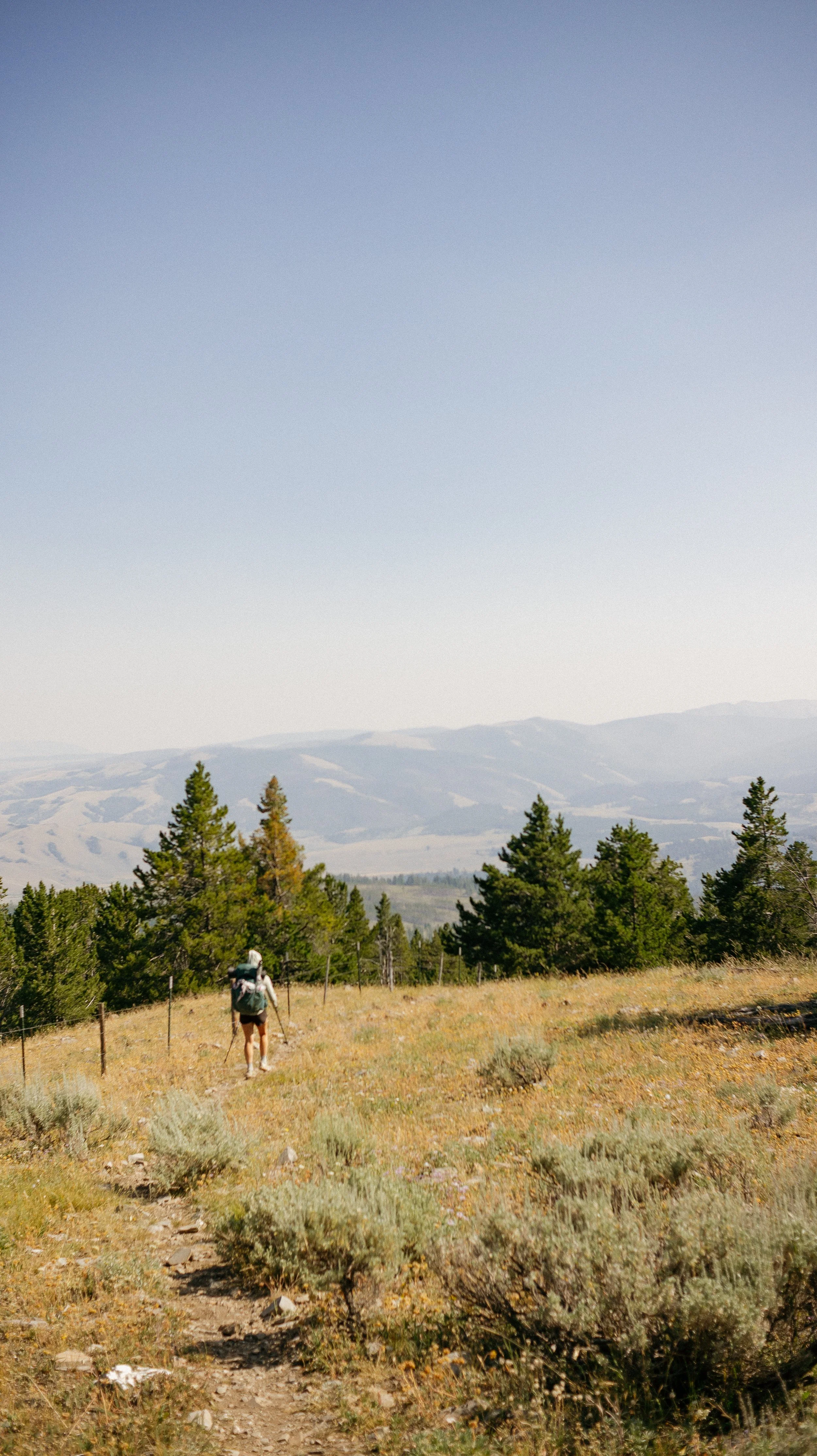
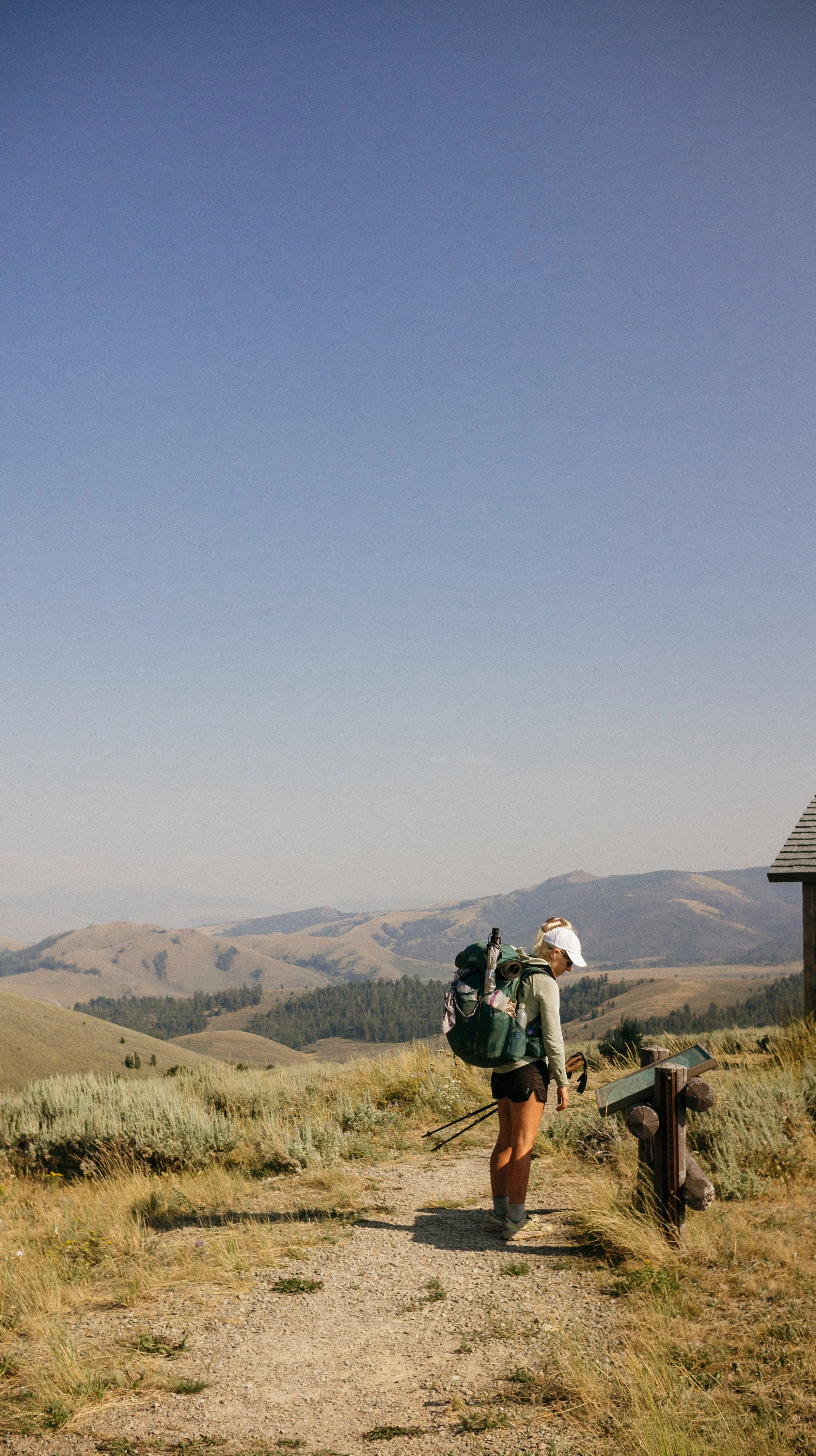
Once the trail dropped down into some trees, the terrain changed completely. After a bit in the forest, suddenly the area became open, cow pasture. Beginning to hike on ATV tracks was an indication that something was a bit different.
The goal for the day was the Sacagawea Memorial Site. There was limited water in this section, so camping near it seemed like the right move. I had been listening to many podcasts about the Lewis and Clark expedition so it felt like a full circle moment. Great water, great site… except for the brave and bold deer that came tromping through the campsite in search of urine.
-
SLEEP: Camp at Mile 751.4
MILES: 22.8
ELEVATION GAIN: 5105 ft
ELEVATION LOSS: 3550 ft
WEATHER: Sun, Hot, Smoke
OVERVIEW: A cow highway?
I slept soundly once the deer parade left. Though it was a shorter mileage day, it had a lot of elevation gain. We quickly met Indian while she was filtering water and she warned us it was a lot of road walking for the day.
It was in fact, mostly road and ATV two track walking. It was steep. Like 1000 feet/mile steep. Appalachian Trail steep with rolling rocks for footing? But once at the top of the big climbs, the Lemhi mountain range could be seen and it was epic! It was jagged like I imagine the Sawtooth mountains are. It was stunning to look over while ridge walking and see these behemoths in the distance.
This was an audiobook sort of day for the afternoon as George took off and I hiked alone. I prefer hiking alone but haven’t been able to do it much while in grizzly bear country - it is safer to hike in numbers. Indian was around as well and we kept (and would continue) to run into her.
The day went by smoothly with much more gentle climbs. There were some stunning views of open vistas of farmland that had not yet been on the trail. Eventually I made it to the spring where George was already set up near.
As we ate dinner, cows began rolling in. Large groups of them. We had to end up moving our tents out of the direct area because it was safe to say this was their evening drinking spot. I thought the chorus of ‘Moo’s’ would decrease at some point, but it turns out I just chose a spot that was on a giant herd of cow highway.
-
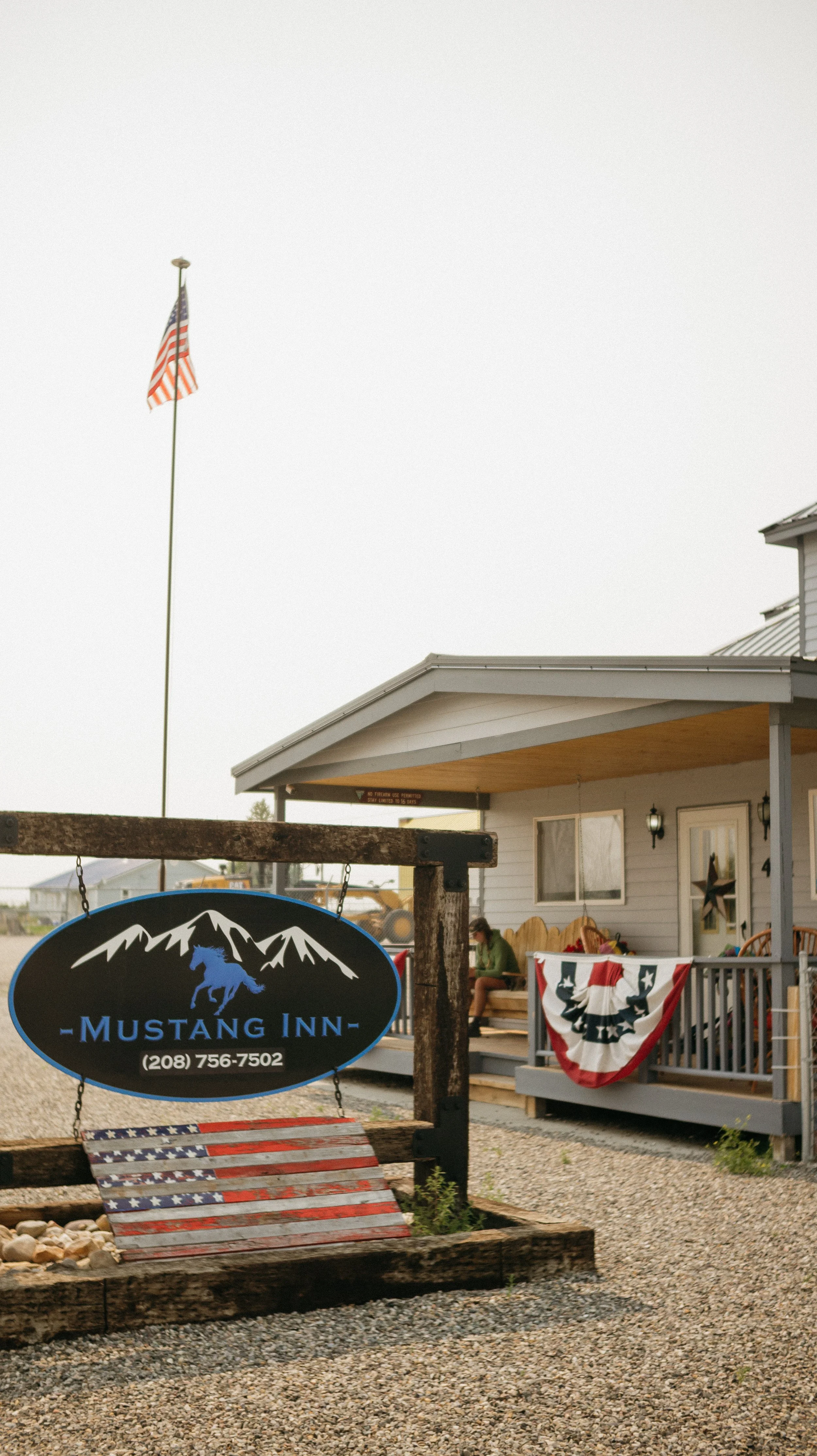
SLEEP: Room at Mustang Inn
MILES: 4.4
ELEVATION GAIN: 110 ft
ELEVATION LOSS: 1210 ft
WEATHER: Hot, Smoke
OVERVIEW: So many hikers!
After a not so great night of sleep due to the constant symphony of ‘mooing’ from insomniac ridden cows, I was ready for a town day. It was a quick 4.4 miles to Bannock Pass where we had prearranged a shuttle from our accommodation for the night, the Mustang Inn. Right on time, Jen picked us up! I was happy to have a short day because the wildfire smoke increased in sincerity overnight
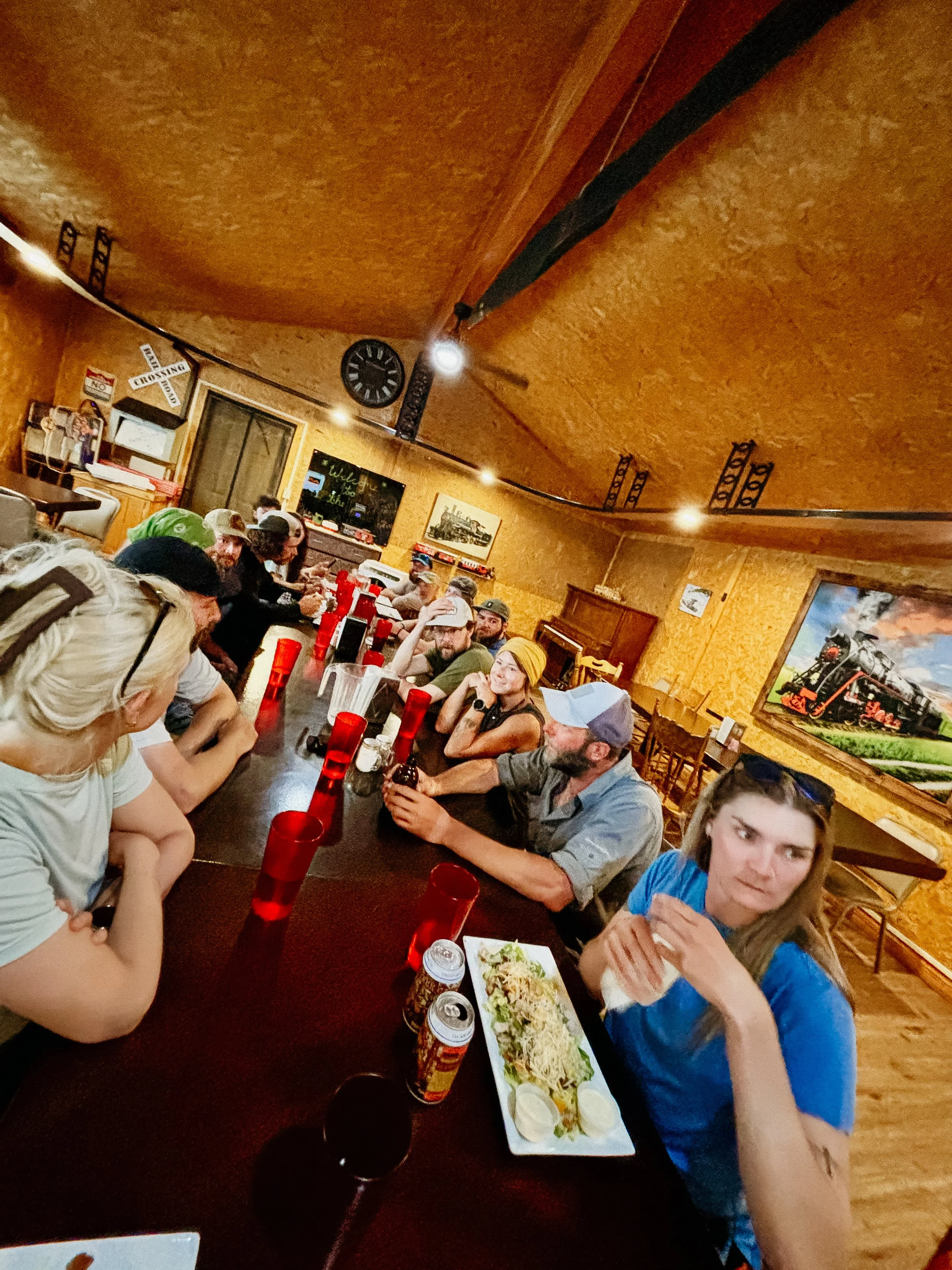
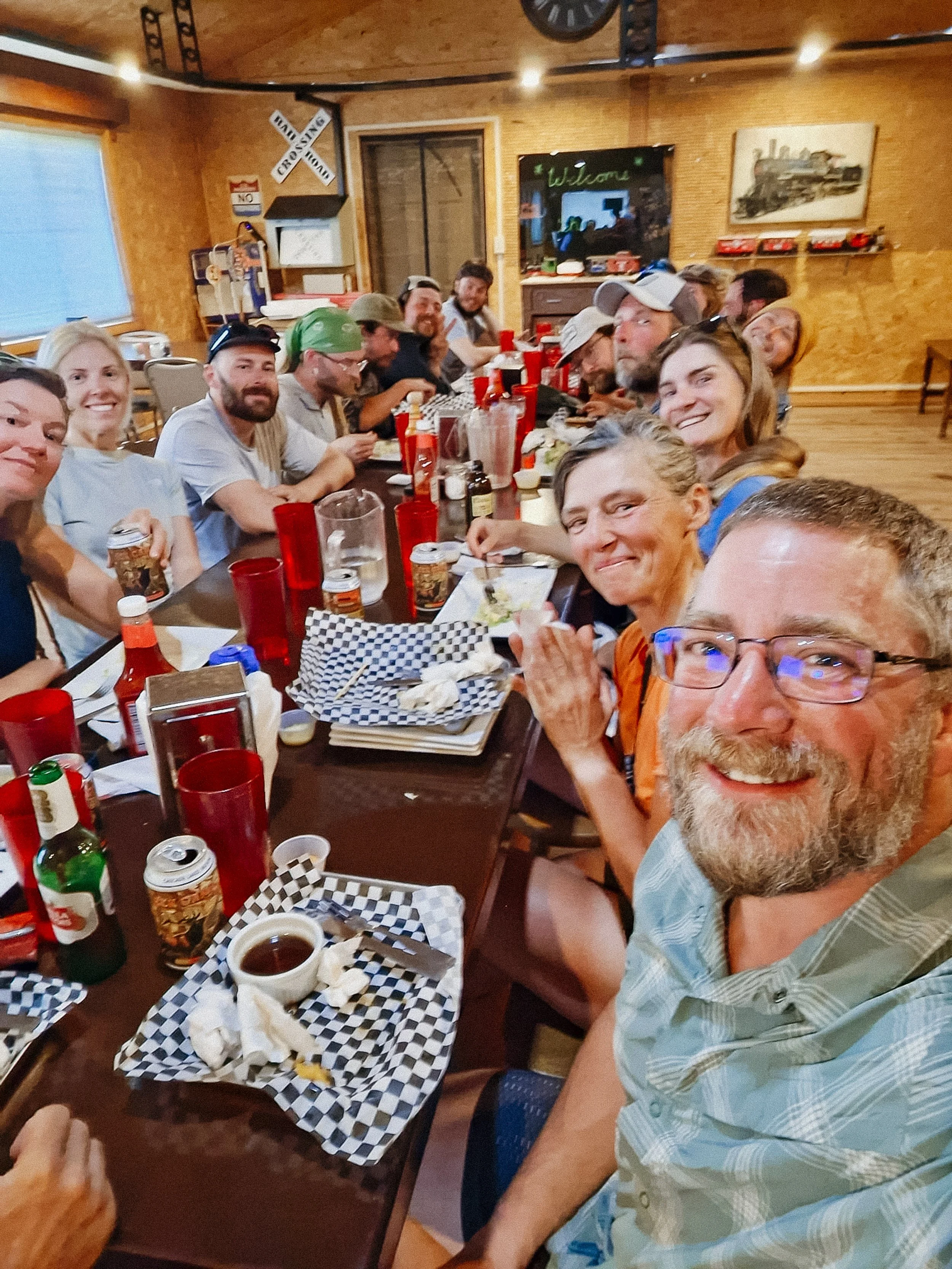
Per usual, I immediately went to breakfast upon arrival to the only restaurant in town, The Depot. There was a huge table with around 10 northbound hikers having breakfast so we joined. Indian from the past few days was also there helping increase the southbound numbers. We chatted extensively about conditions to come on either side of our journeys.
My room at the Mustang Inn was available a bit early so I was able to begin my chores; shower, laundry, resupply. A box was waiting for me at the hotel (thank you, Darline!) which was 95% of all my resupply needs for the next section.
Dinner was at The Depot again and this time there were even more hikers! Probably a total of 20 of us had dinner together. This trail is much more solitary than the others so this was an absolute treat.
I went to bed full, clean, and happy - though seriously concerned about the condition of the wildfire smoke that only increased throughout the day.
GALLERY