Continental Divide Trail: Canada - East Glacier Park
INTROThe Continental Divide Trail is a National Scenic Trail spanning approximately 3,100 miles from Mexico to Canada (or vice versa) through Montana, Idaho, Wyoming, Colorado, and New Mexico, following the geological continental divide.
NOTE
I am hiking the Continental Divide Trail southbound from Canada to Mexico. This trail will complete my Triple Crown of hiking, which includes both the Appalachian Trail and the Pacific Crest Trail.
Unlike the Appalachian Trail and the Pacific Crest Trail, the Continental Divide Trail is somewhat of a choose your own adventure. Alternatives routes, and A variety of options allows this trail to be more fluid. I will do my best to explain the routes that I take in the detailed section.
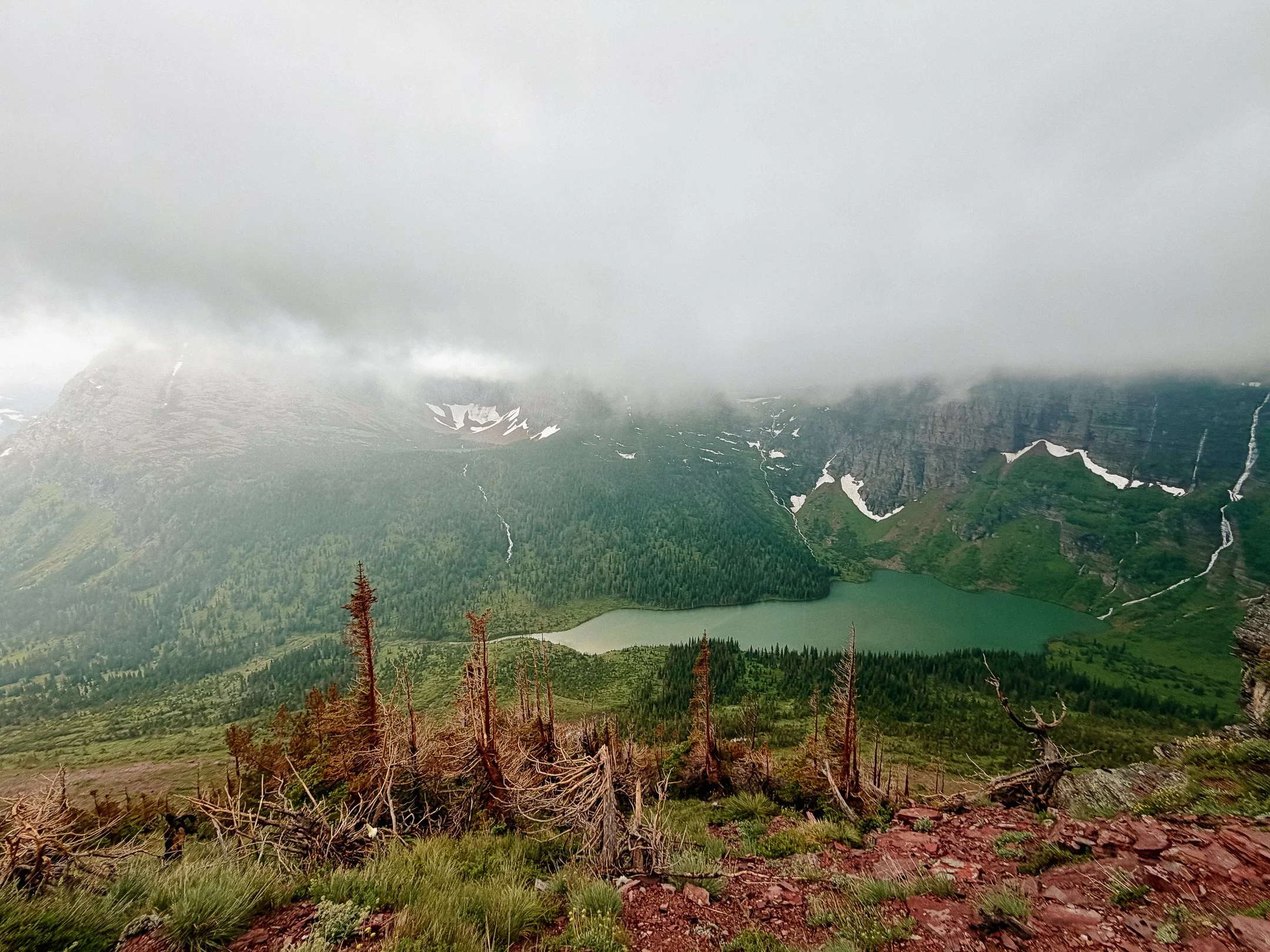
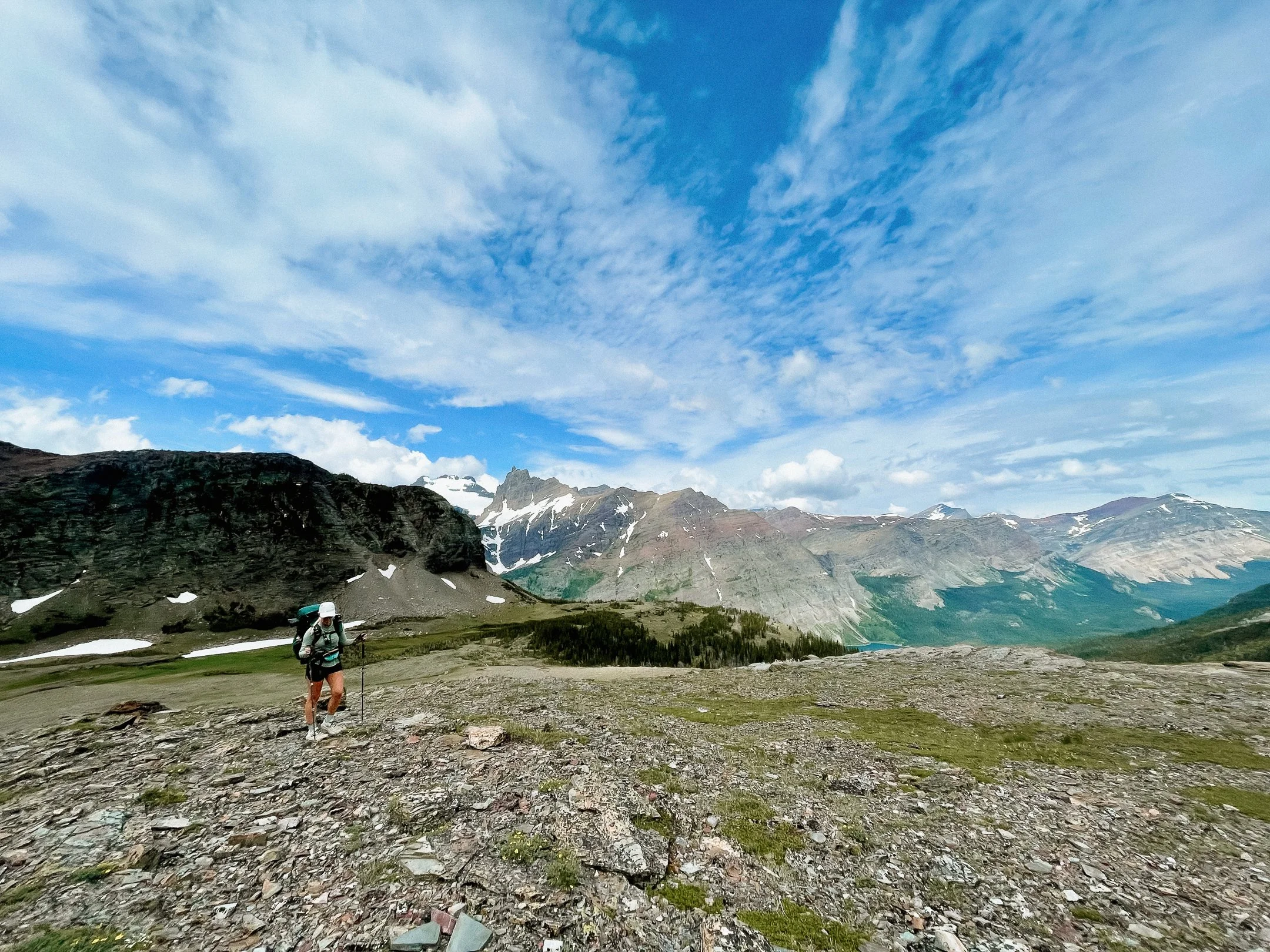
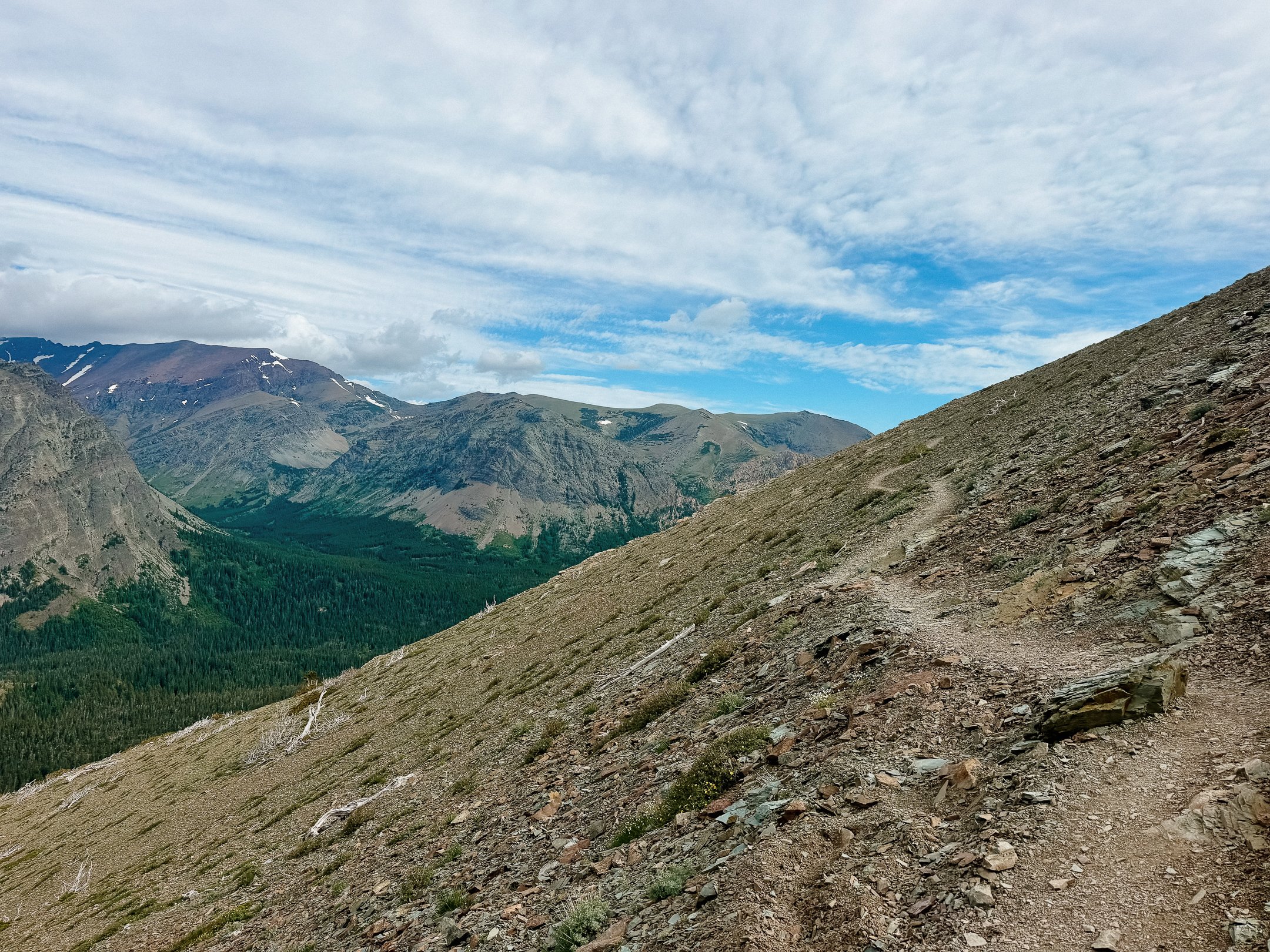
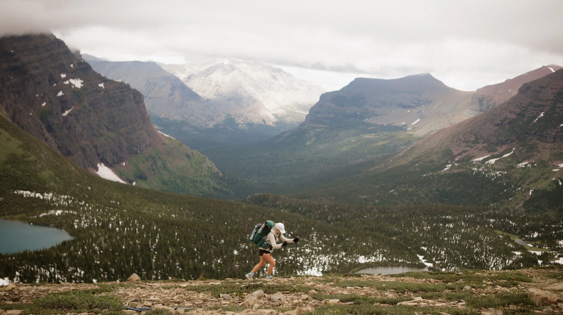
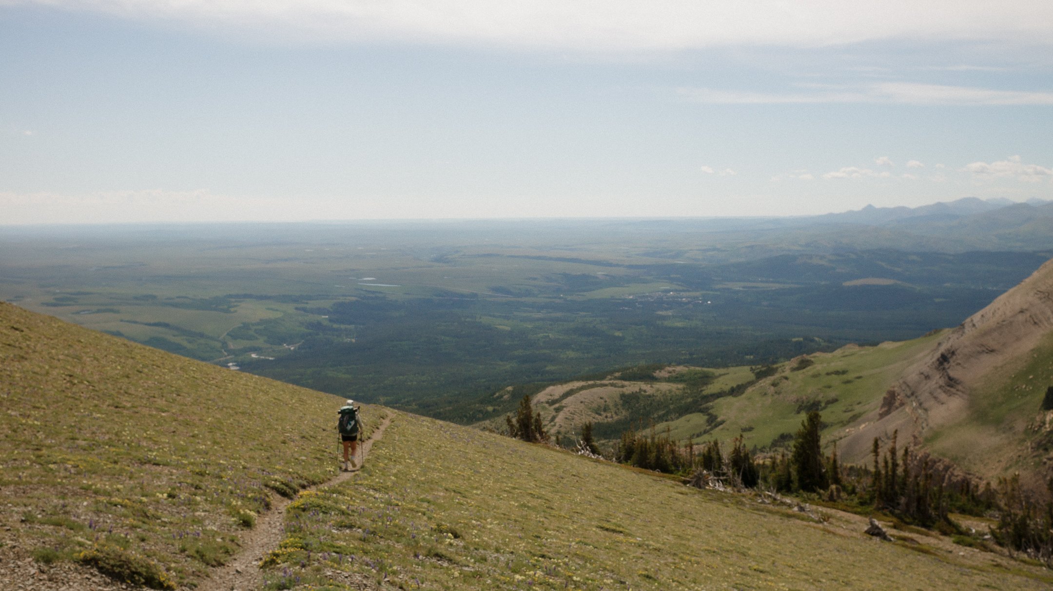
Descent from Triple Divide Pass
Day 1-8 took me from Canada to East Glacier Park.
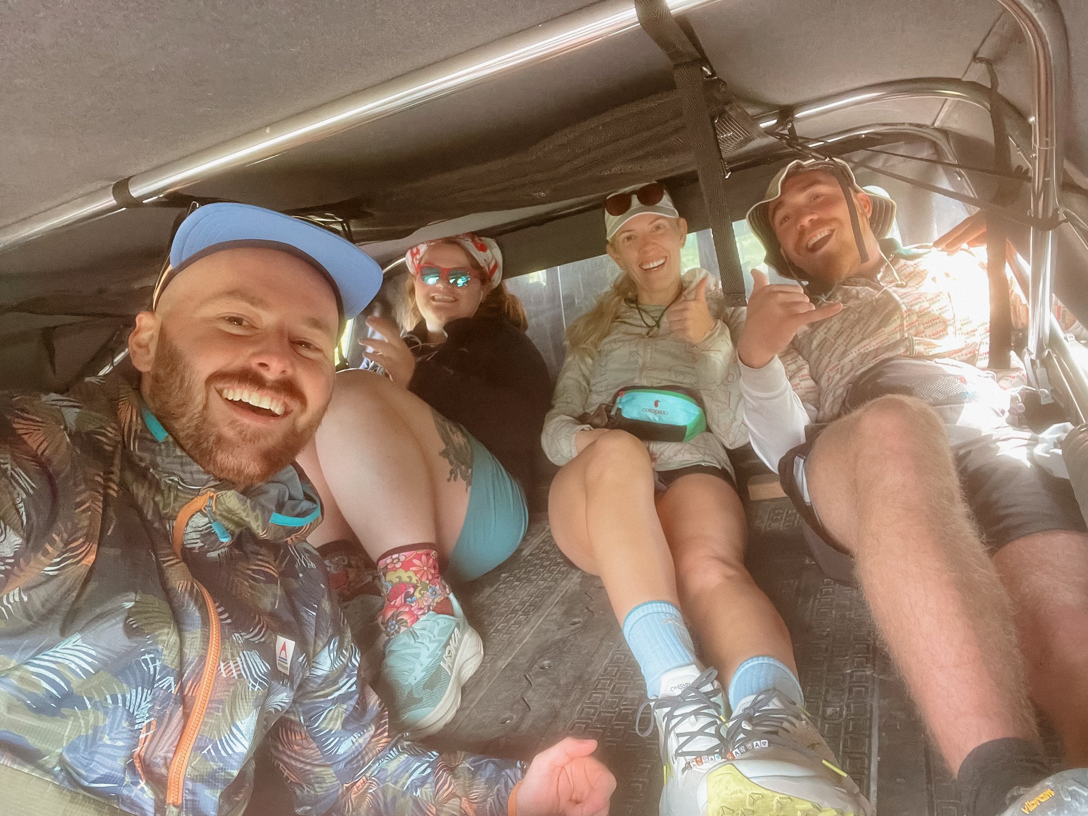
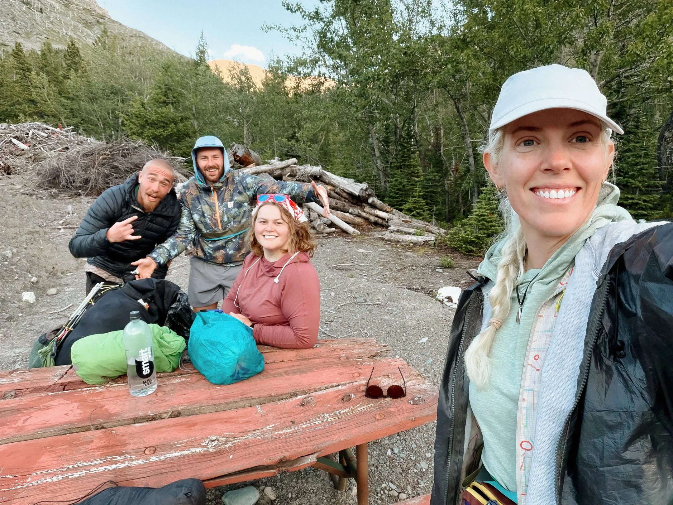
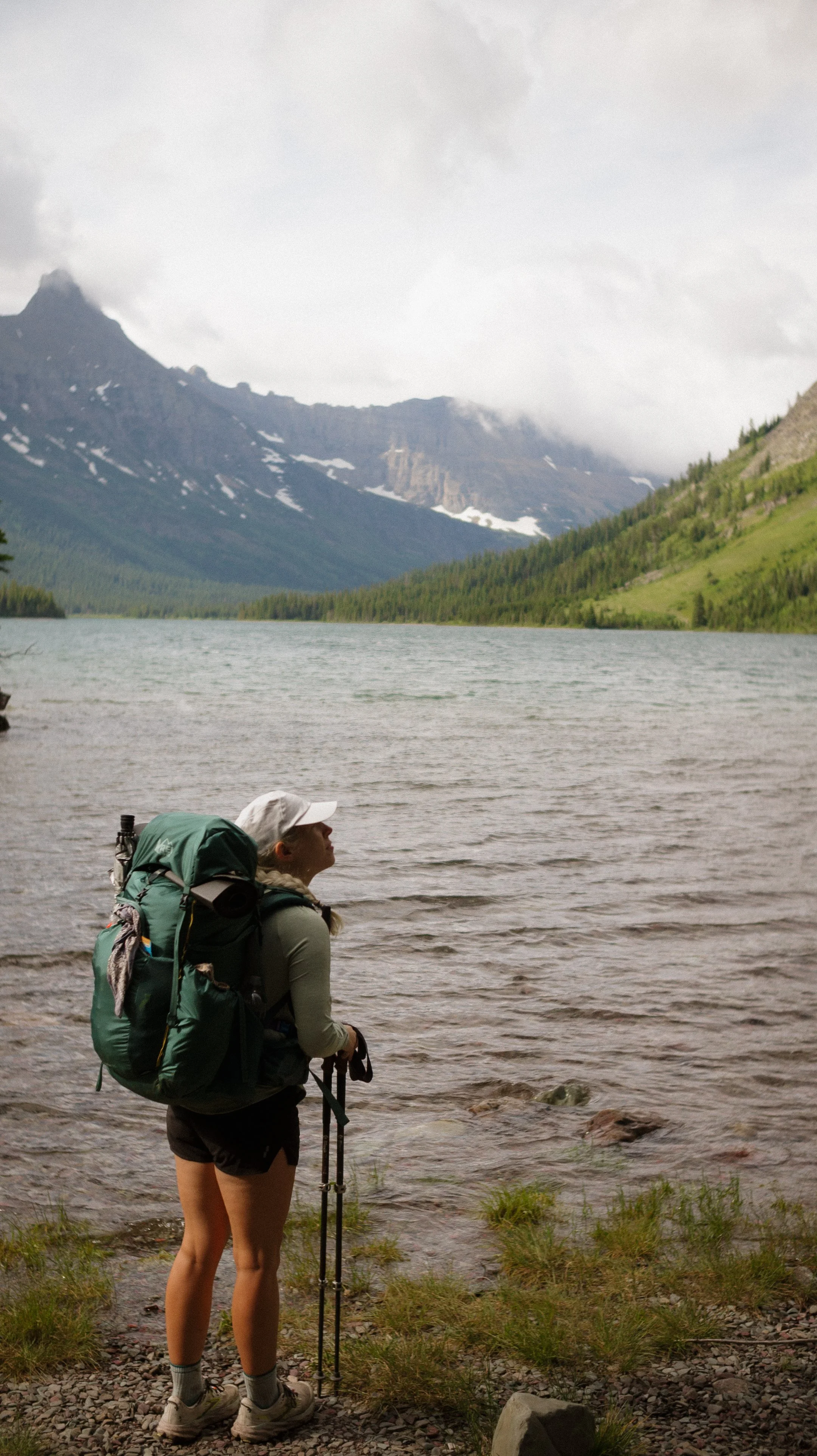
This first section brought me through Glacier National Park. The hiking and camping is completely metered by the wilderness permits you get, so I chose none of the hiking distances. My Appalachian Trail friend George is joining me for portions of the CDT along with two other folks, Millie and Foggy, who I met on the Amtrak train to East Glacier. Four people are allowed to be on one permit, so this is the group I am referring to.
OVERVIEWTOTAL DAYS8
FULL HIKING DAYS5
zeroes1
neroes2
TOTAL ELEVATION GAIN19,538 ft
TOTAL ELEVATION LOSS19,482 ft
MILES COVERED106.1 miles
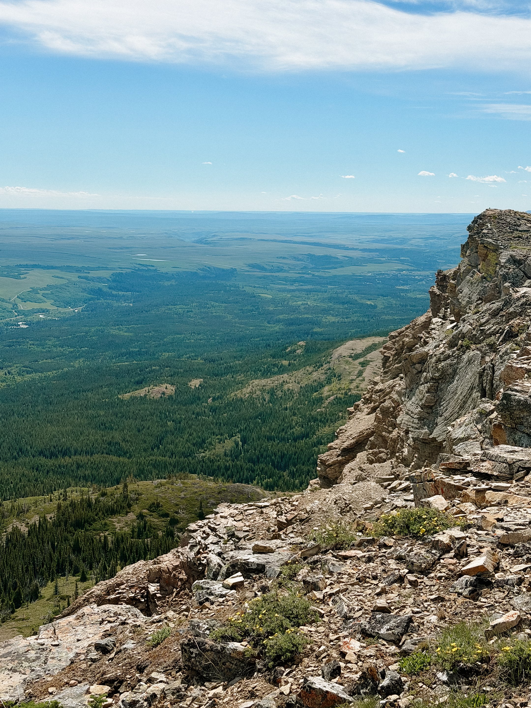
-
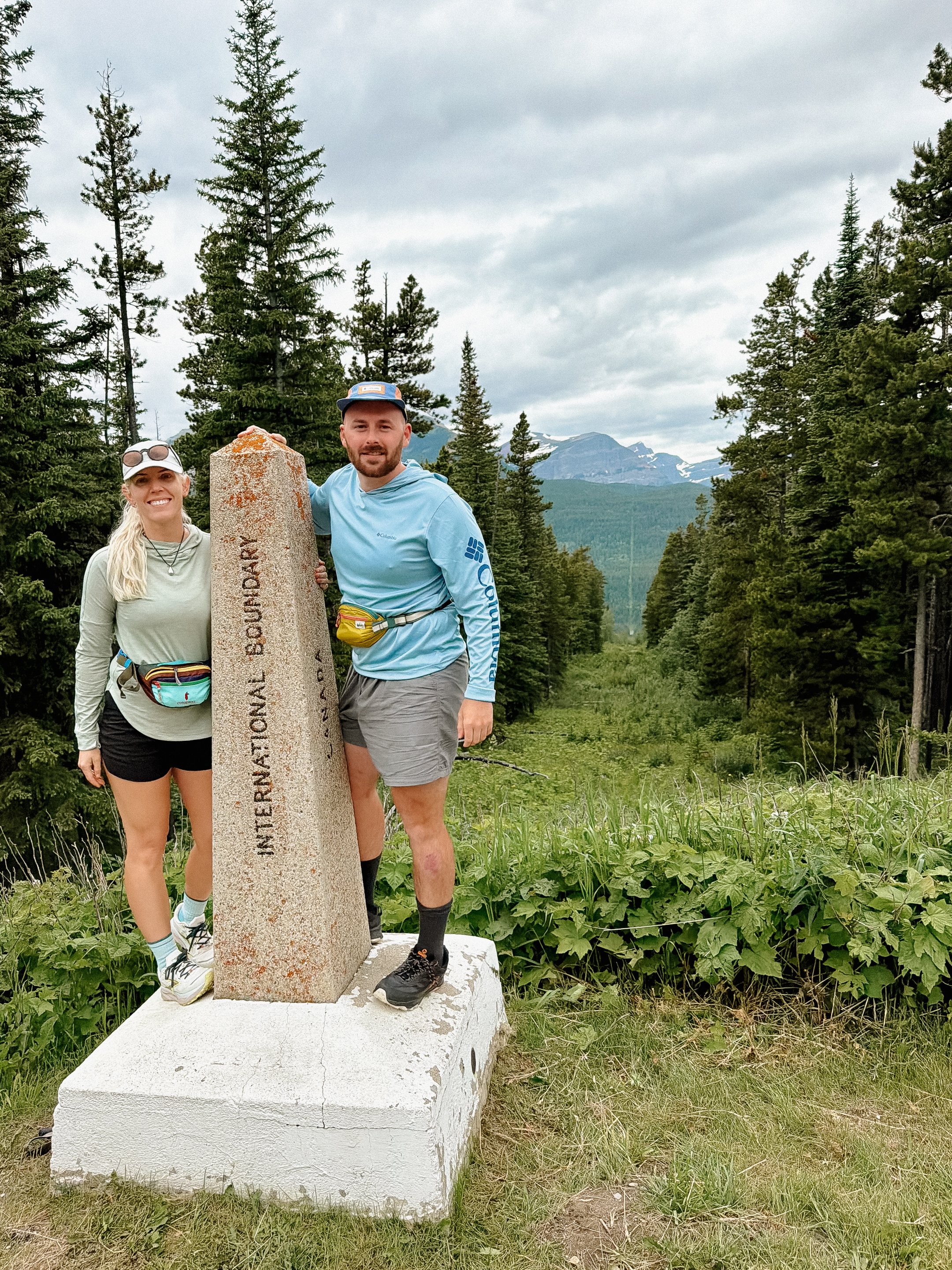
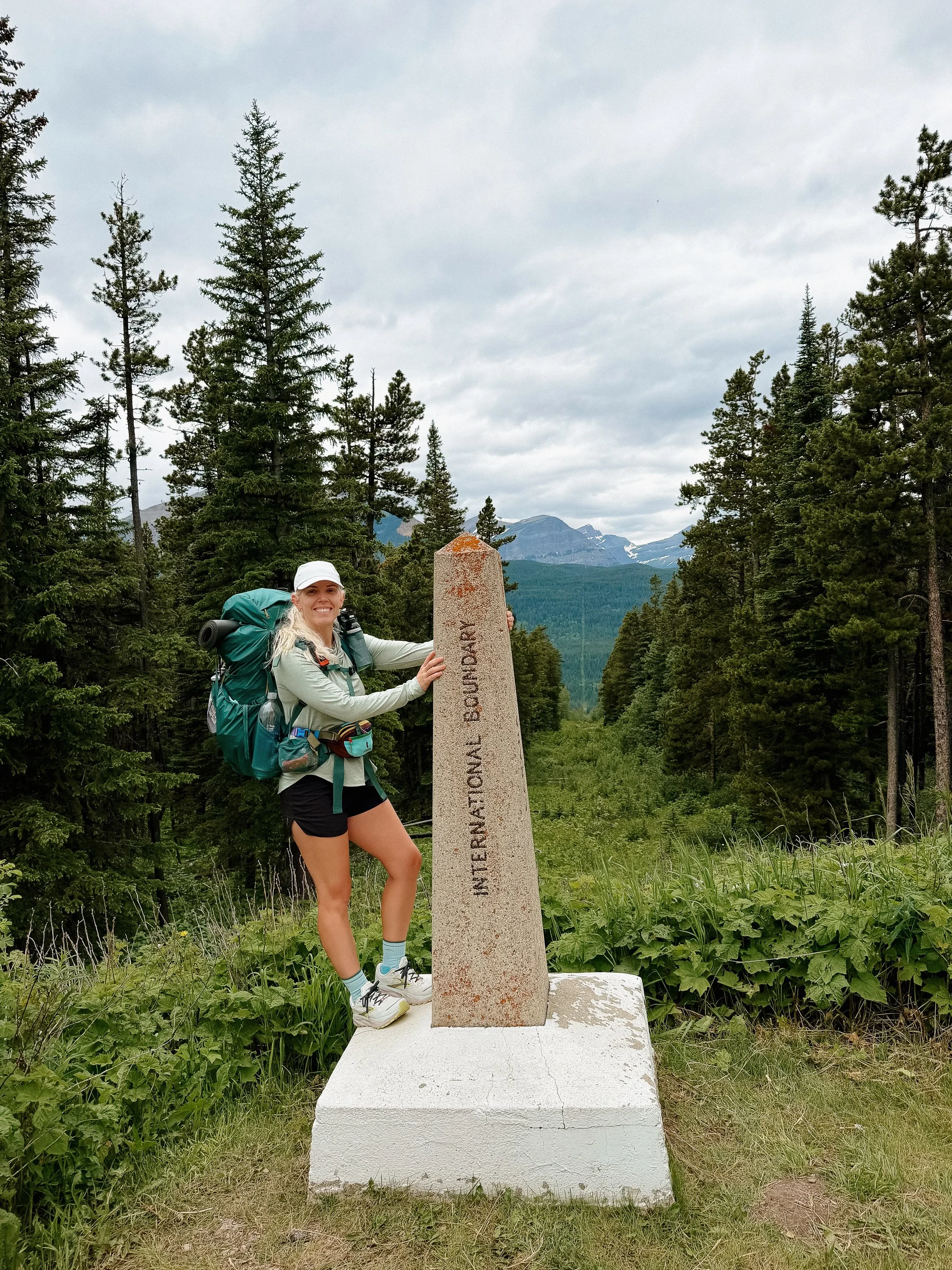
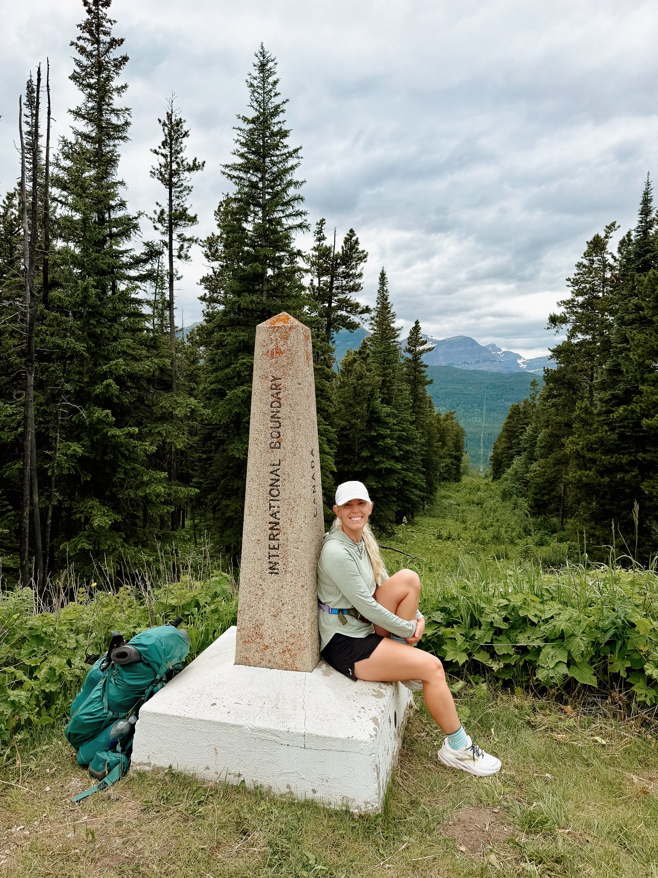
Beginning the Continental Divide Trail at the Canadian border to hopefully complete my triple crown of hiking!
Meeting a wonderful crew to go through Glacier National Park with - thanks Amtrak!
Spending time with Trish and Brian, whom I had met on the Camino del Norte. Also them saving me from hypothermia.
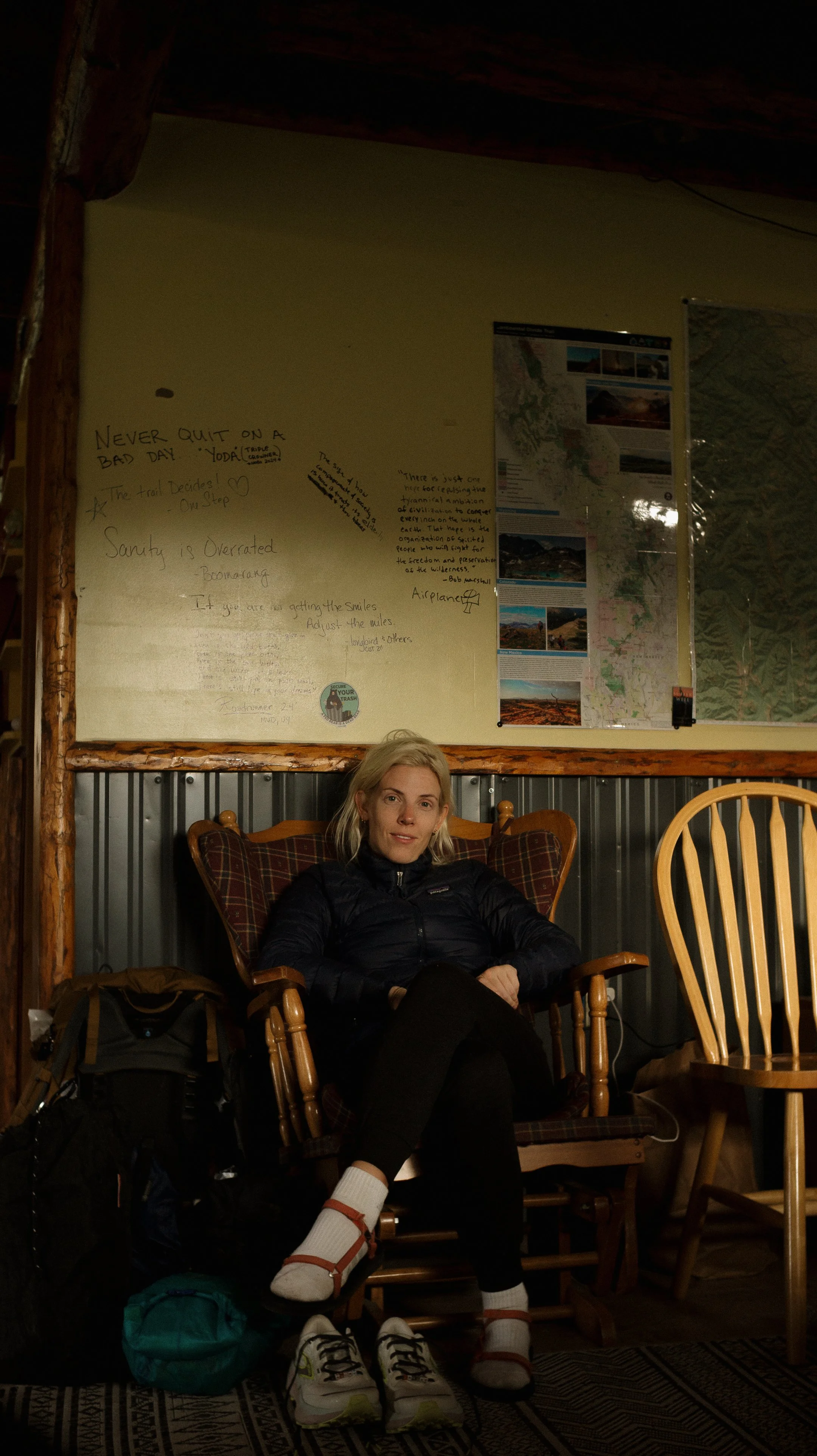
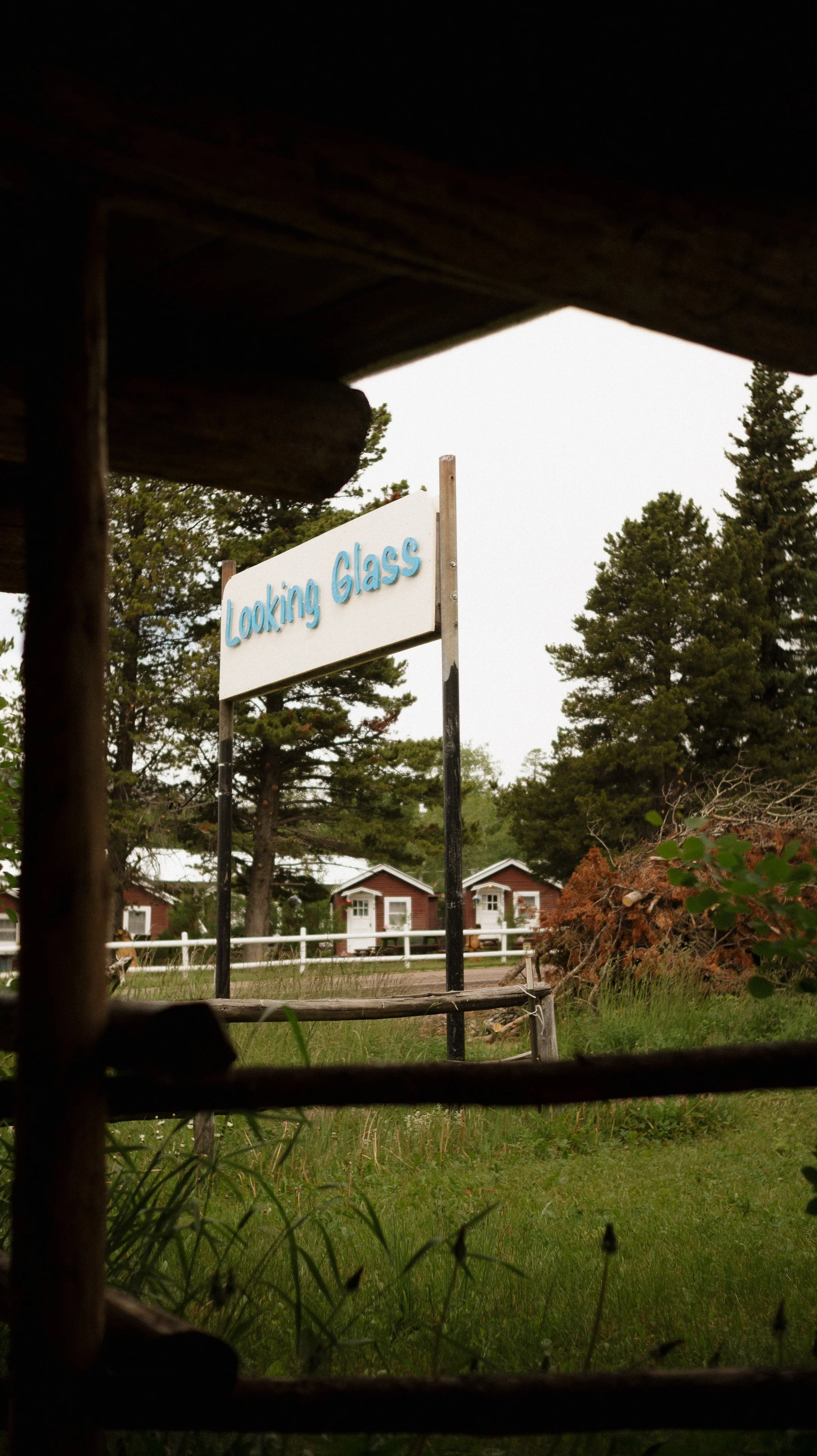
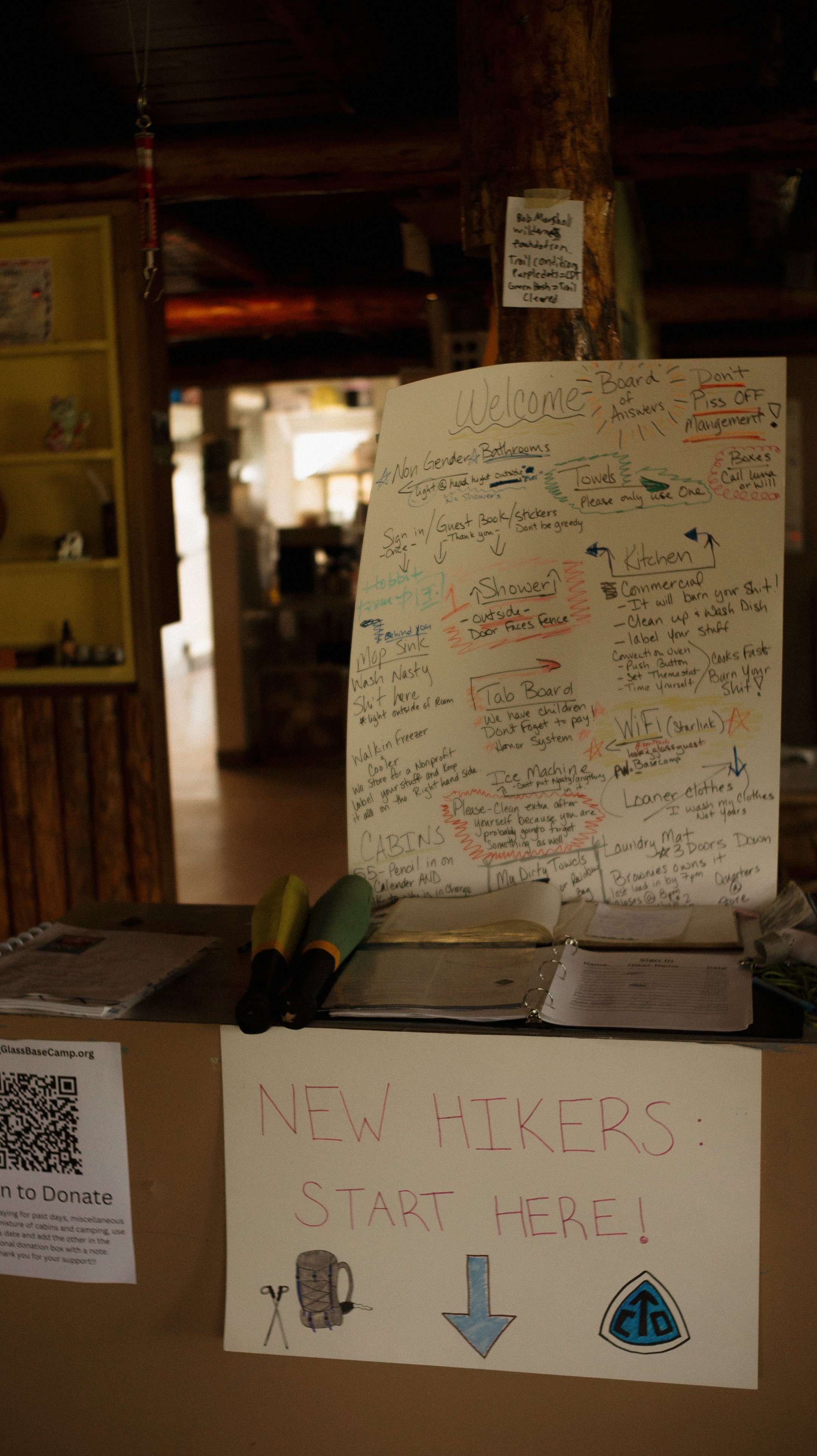
Luna’s Looking Glass Hostel was such a treat - Luna is a gem that created a lovely space for hikers.
-
The 3 day storm event that lead to hypothermia and a loss of a lot of important gear.
Difficult hiking to begin a thru-hike with.
An on foot close grizzly bear encounter
Disappointing interaction with NPS ranger.
Gear fails; George’s phone, George’s pack cover, my headlamp, my pillow, and more
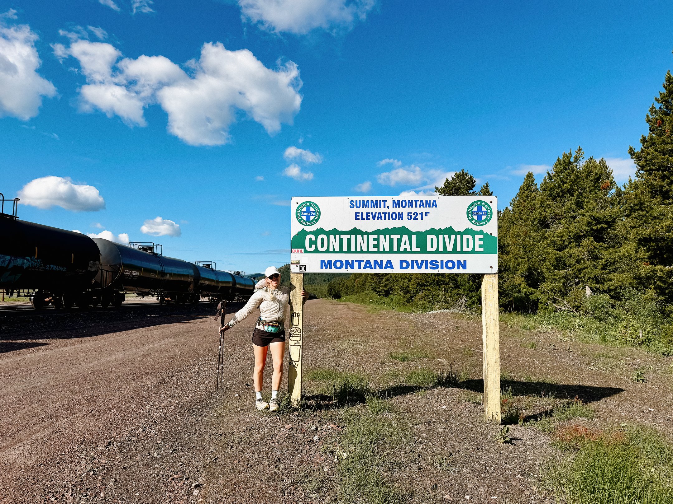
Marias Pass
In Depth
-
Sleep: Camp at Mile 6.2, Gable Creek
Miles: 6.2
Elevation Gain: 440 ft
Elevation Loss: 1112 ft
Weather: Cloudy, Drizzle
Overall Day Sentiment: Overwhelmed with gratitude to begin the last trail of my Triple Crown
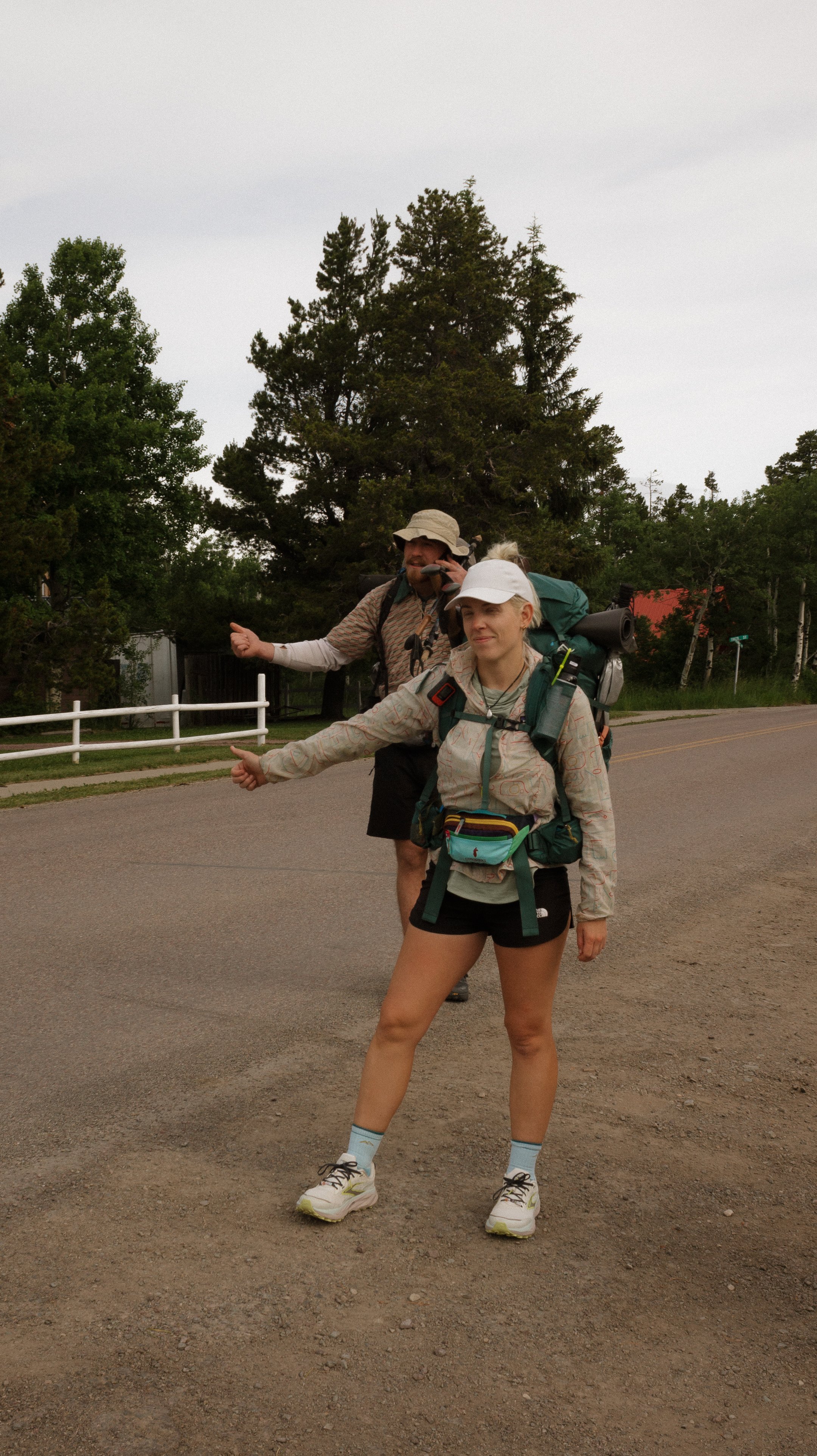
The day began with quiet excitement as I woke up in my tent at the Looking Glass hostel in East Glacier Park. Because the Glacier National Park permits dictates our groups’ mileage for each day, we were in no rush to begin hiking. George and I grabbed a quick breakfast, packed up, and the four of us (George, Millie, Foggy, and myself) parked on the curb and began attempting to hitchhike to the Canadian border.
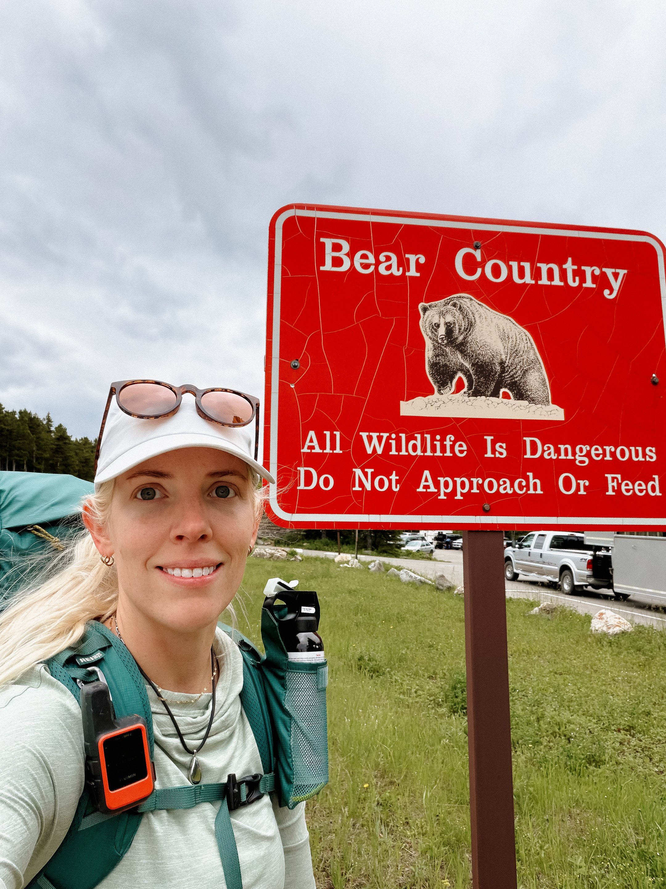
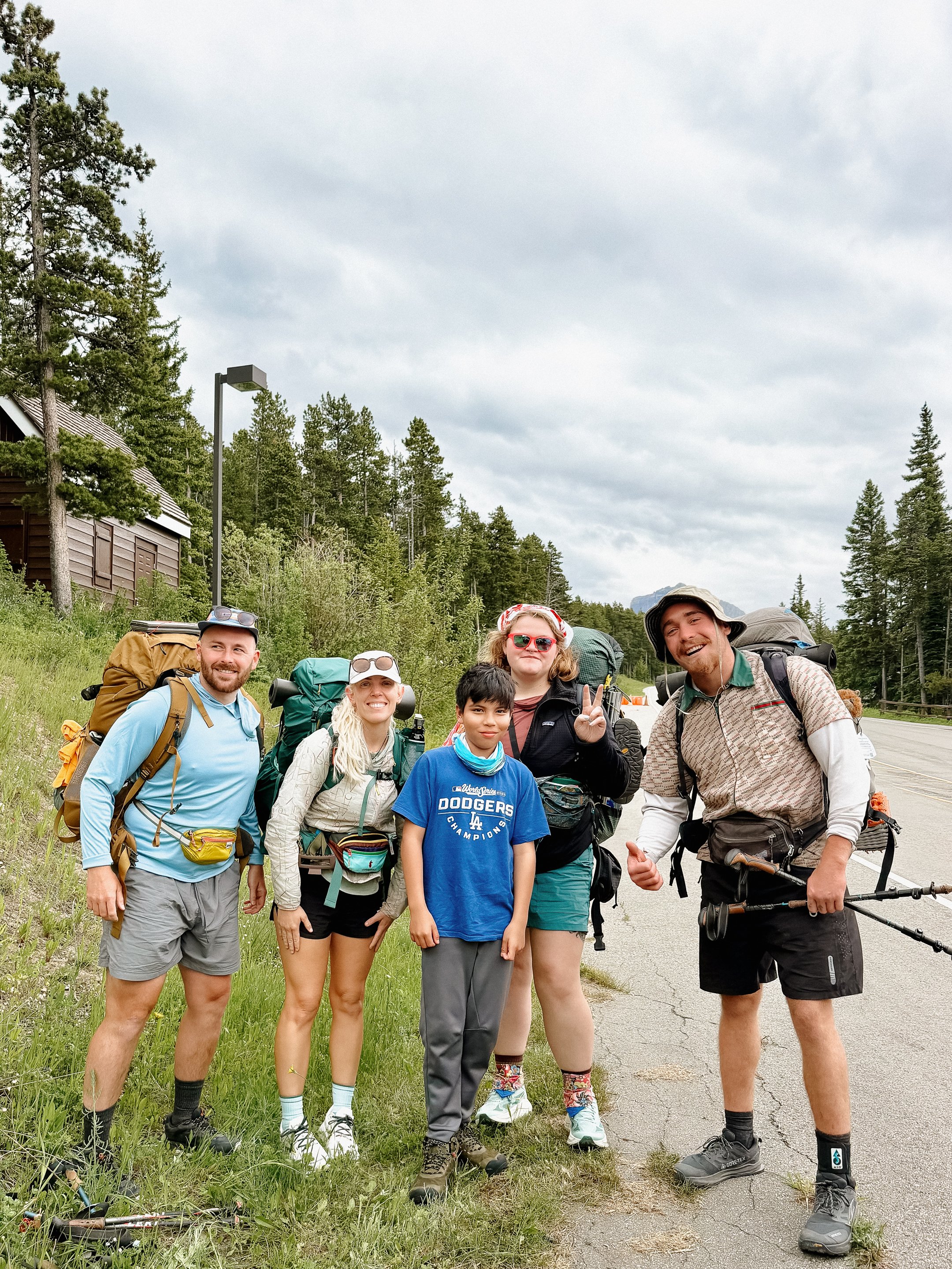
We got a ride from a lovely young couple in the back of a pickup truck part way to Kyiyo, which was at the main highway junction. After only waiting about 30 minutes, we got a perfect ride from Tia and Cooper; mother and son from California. Not only did they give us a ride up to St. Mary, but they decided to head to Canada too after an awesome stop at the St. Mary Visitor Center. Cooper was a cool, inquisitive 11 year old and they were an absolute joy. Also, while driving with them, a young grizzly bear crossed the road in front of us. It was a good reminder that the bears are here and our extensive precautions are a good thing.
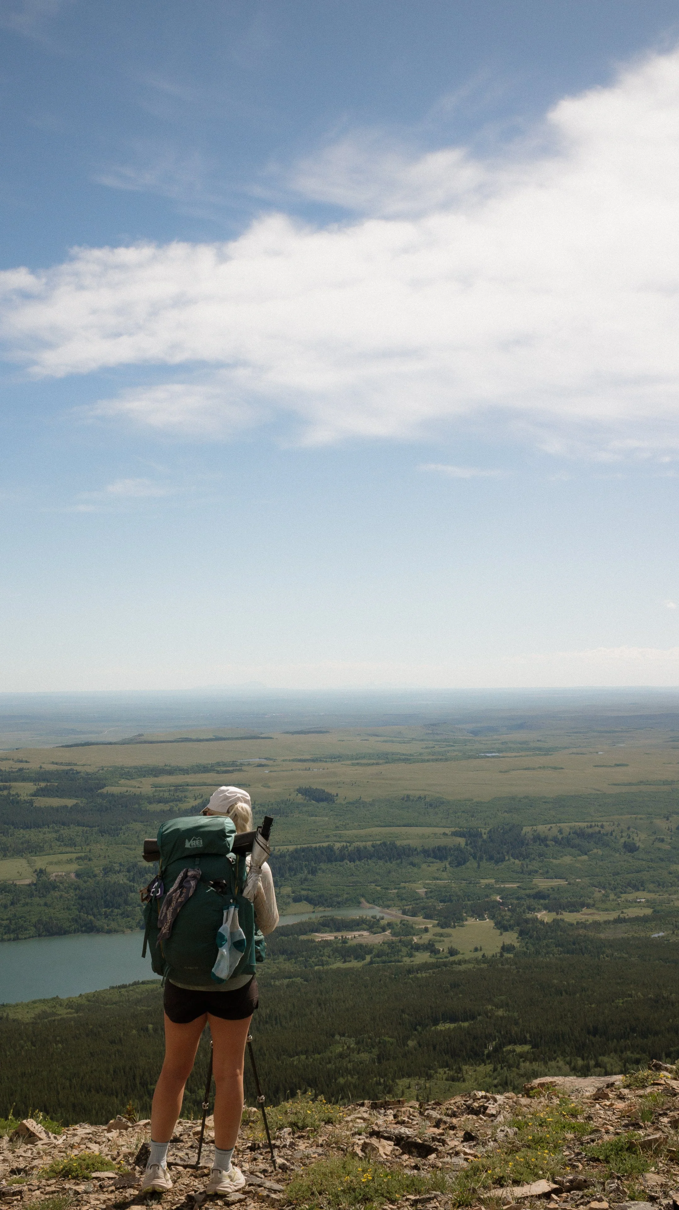
Once at the border, I became overwhelmed with emotion. I never thought that I would be able to do any sort of endurance athletic endeavors. Yet here I was, 2.25 years after beginning the Pacific Crest Trail setting out to complete something < 1000 people have recorded doing - becoming a Triple Crowner.
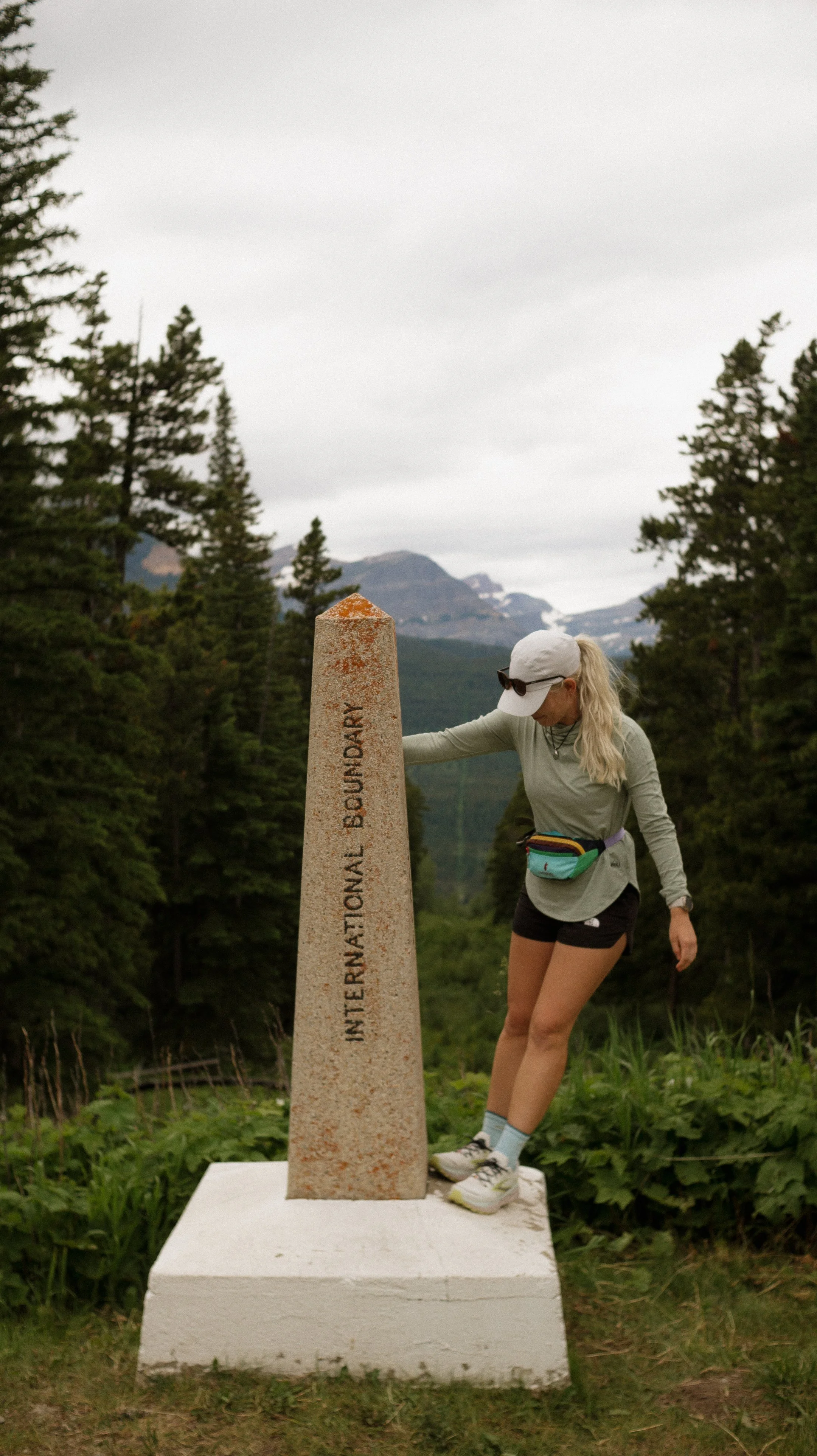
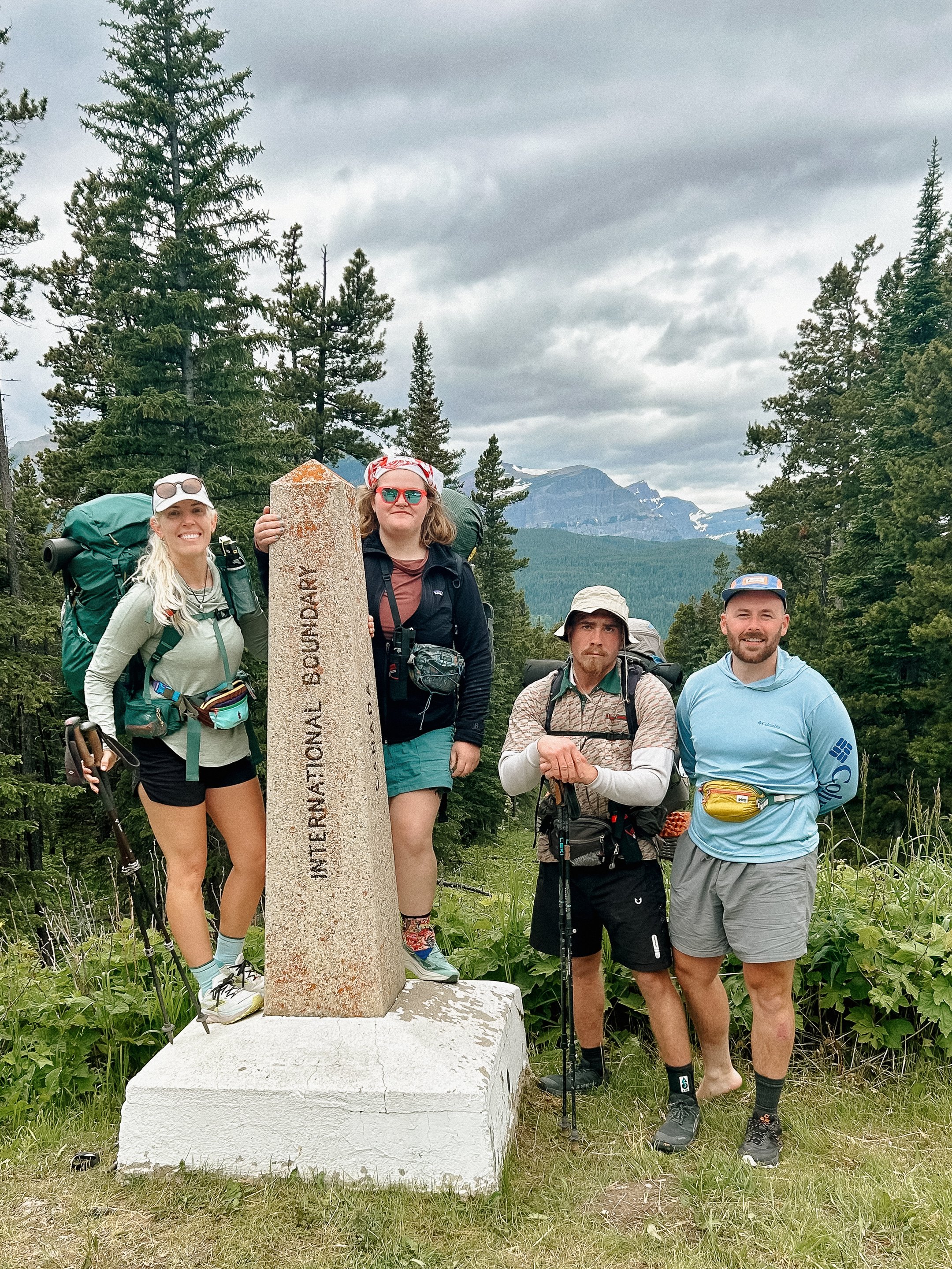
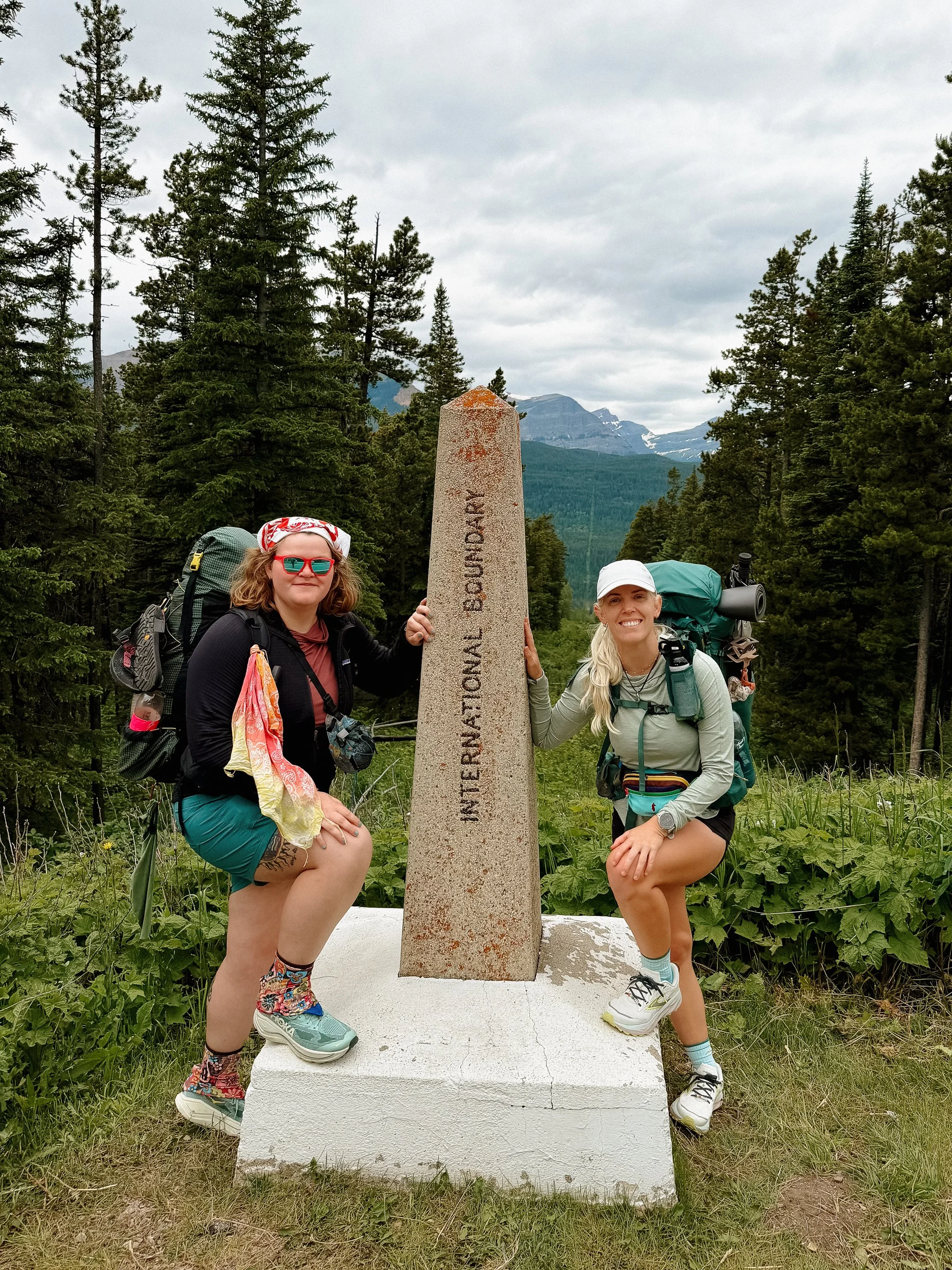
Our group took photos at the border monument and stood in awe of what we were about to do. Foggy is also working on completing his triple, so him and I were particularly excited to be there. Millie and George have both completed the Appalachian Trail, so our group has some miles under their feet!
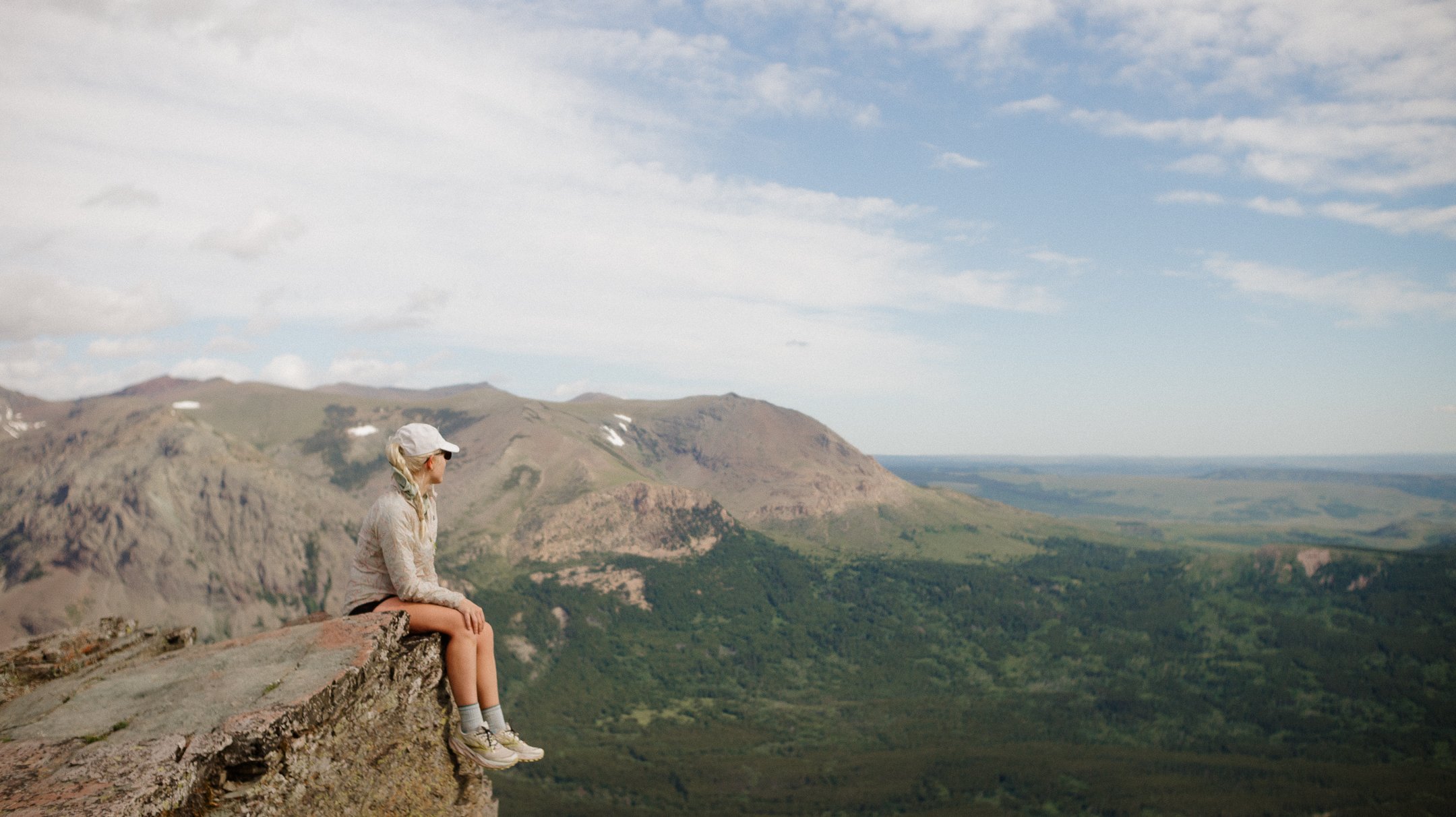
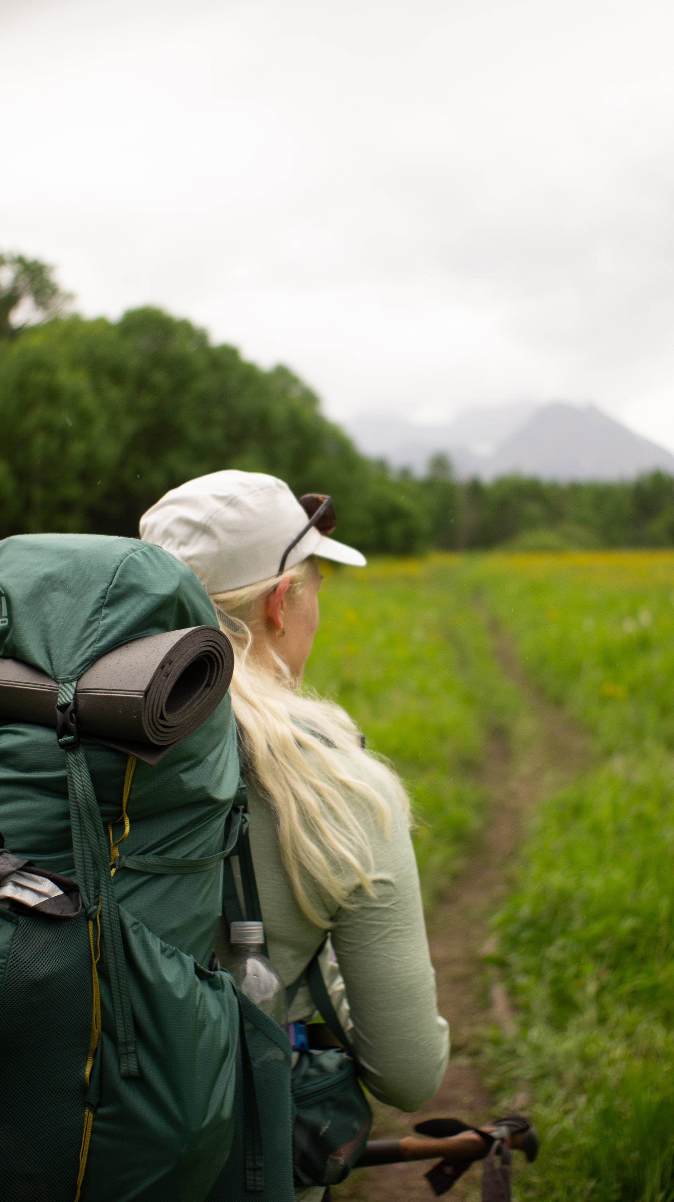
The trail was an easy 6.2 to our campsite. Primarily it dropped down into a valley surrounded by stunning peaks with snow still lingering at the end of June. There were many other people out on this trail as it is currently early peak hiking season in Glacier. It is comforting to see folks out and keep the trails populated with such large animals around.
Once my tent was set up and water was filtered, I took an accidental nap - which is the best kind. After I woke up, it was dinner time! In the National Park, the campsite are very structured; food hanging area, eating/cooking area, and campsites. No scented items go to your sleeping area, ever.
Everyone at the campsite was sitting and chatting in the cooking area and finishing up dinner. There were other hikers there that had been at the Looking Glass hostel the night prior as well; Lucas, Numbers, Wren, and Mia. Again, experienced hikers. It seems like a consistent trend to run into hikers that have previously done a thru-hike.
I tucked in shortly after that because the following day would be robust…
-
Sleep: Camp at Mile 34.6, Many Glacier
Miles: 22.3
Elevation Gain: 4301 ft
Elevation Loss: 4072 ft
Weather: Sun, Warm
Overall Day Sentiment: Beautiful but brutal climbing
Because the campsites in Glacier National Park were chosen for us, the group had a long day ahead. The majority of campers from the night prior were in the eating area (separate from the sleeping area) when I got moving. A quick breakfast and an electrolyte drink and I was off!
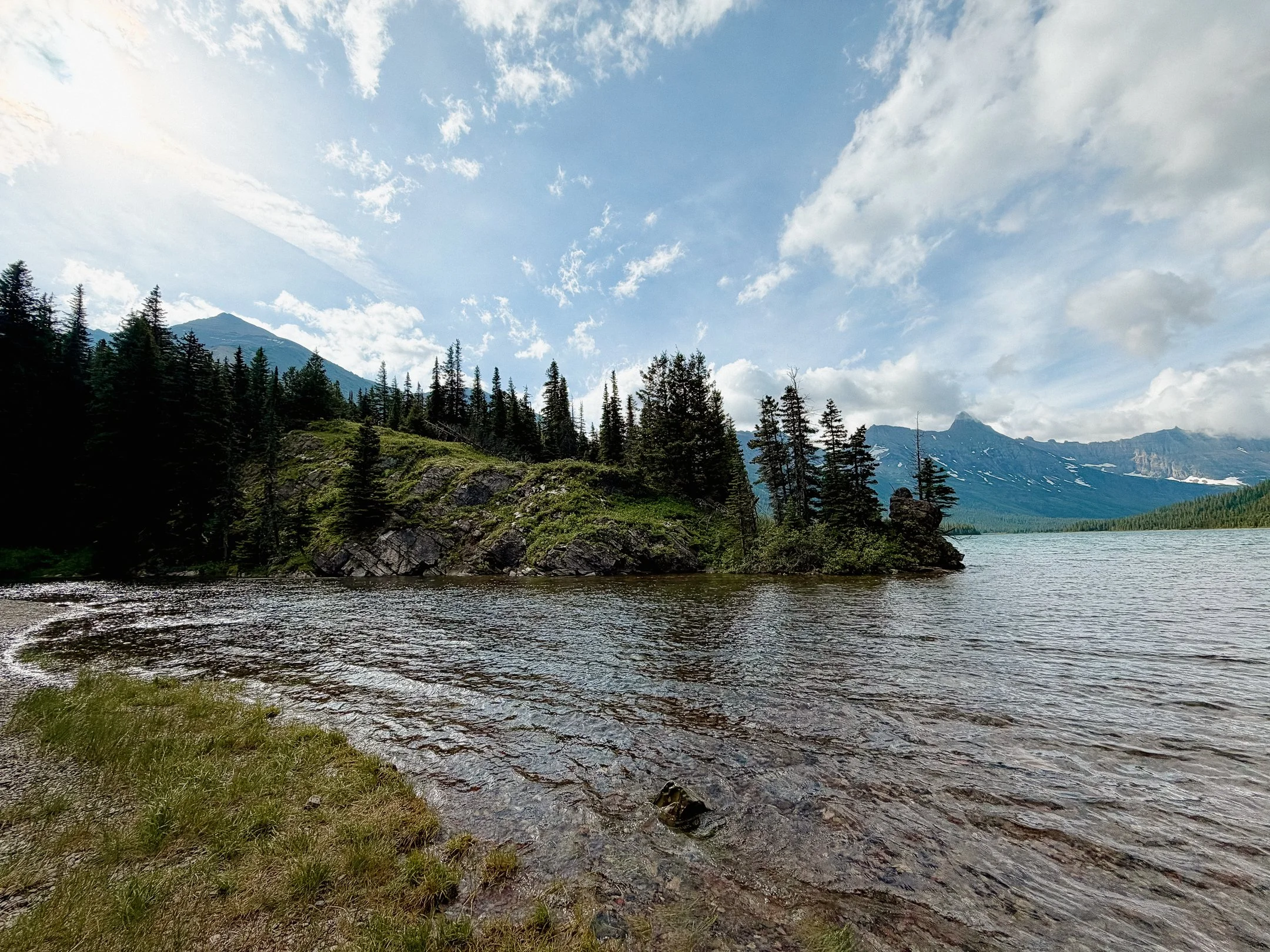
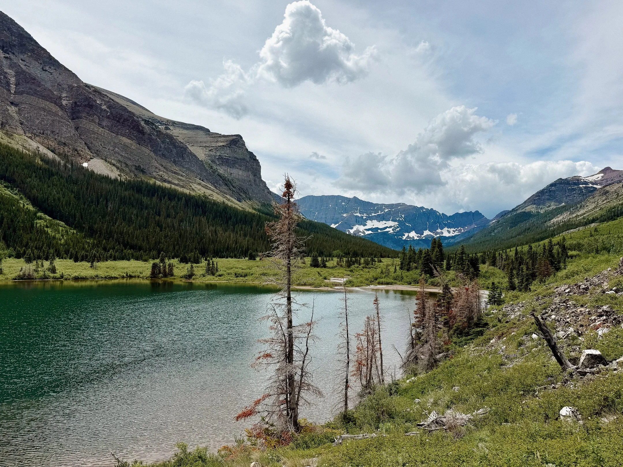
There was great scenery immediately upon returning to the trail. It wound through some ridges in forests featuring Dawn Mist Falls and then ending up at Elizabeth Lake. I had a snack there, along with Millie and George… and a bold chipmunk. The views from the lake were insane and such a good reminder of the absolute dream location I was in.
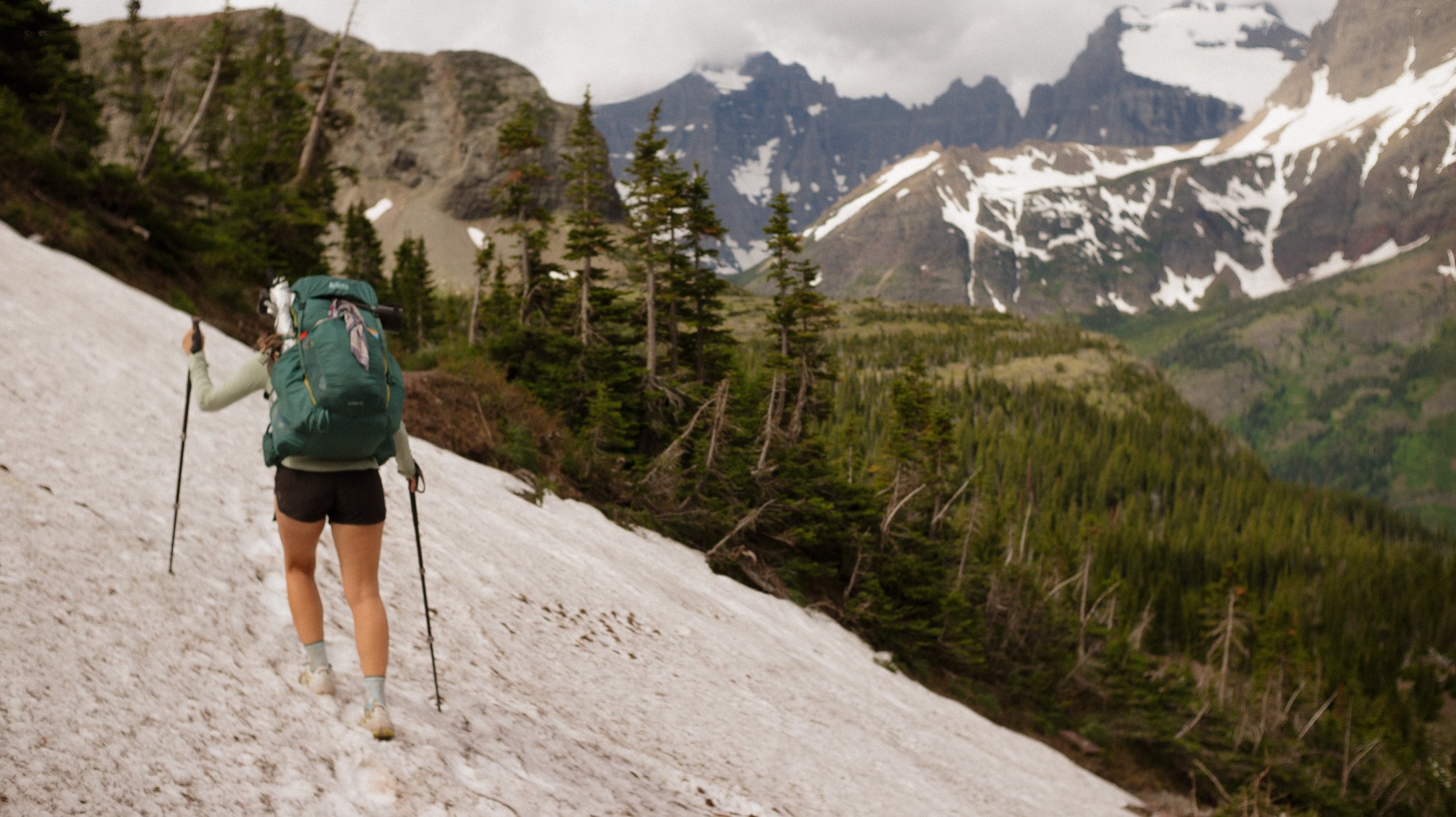
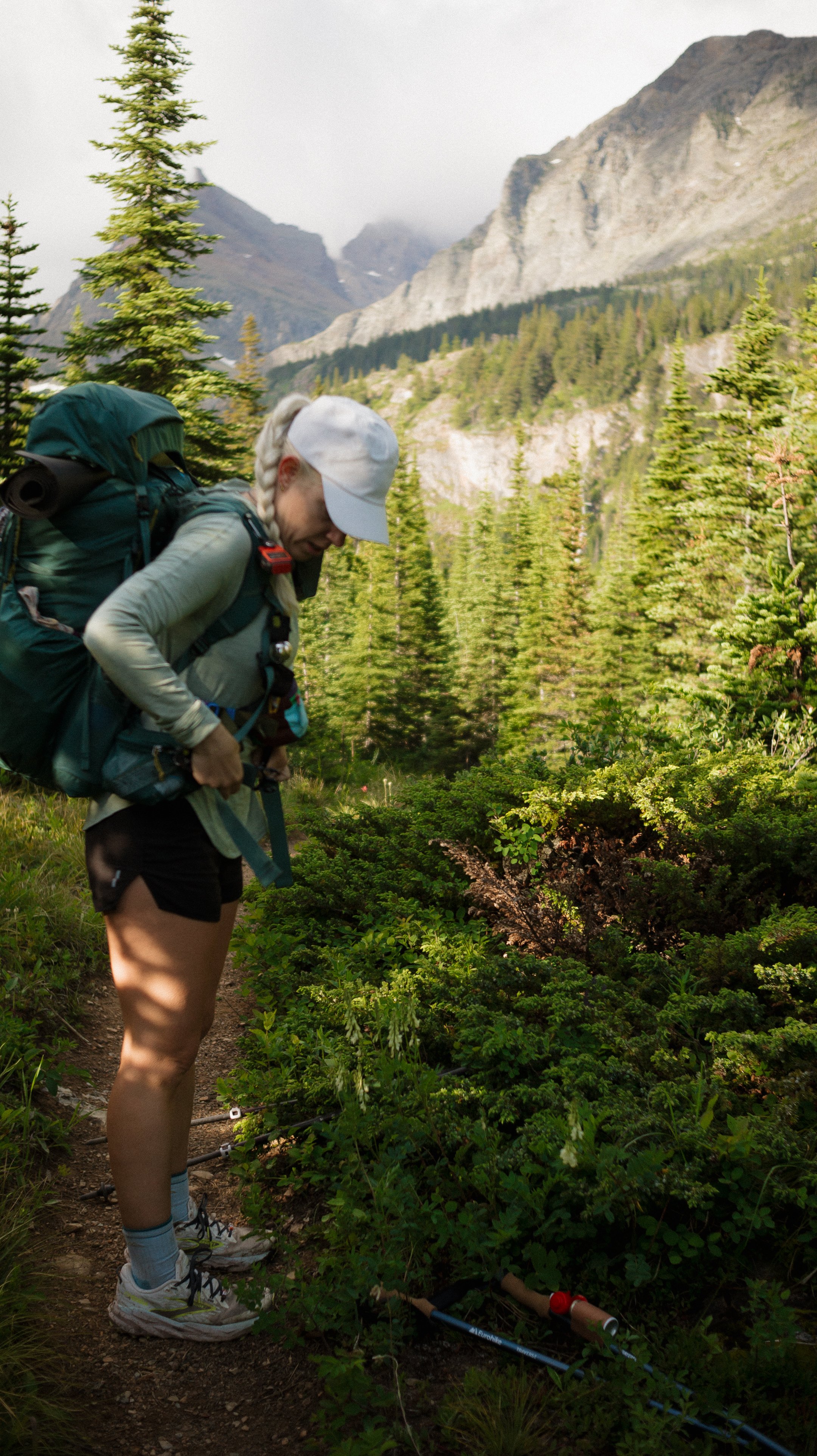
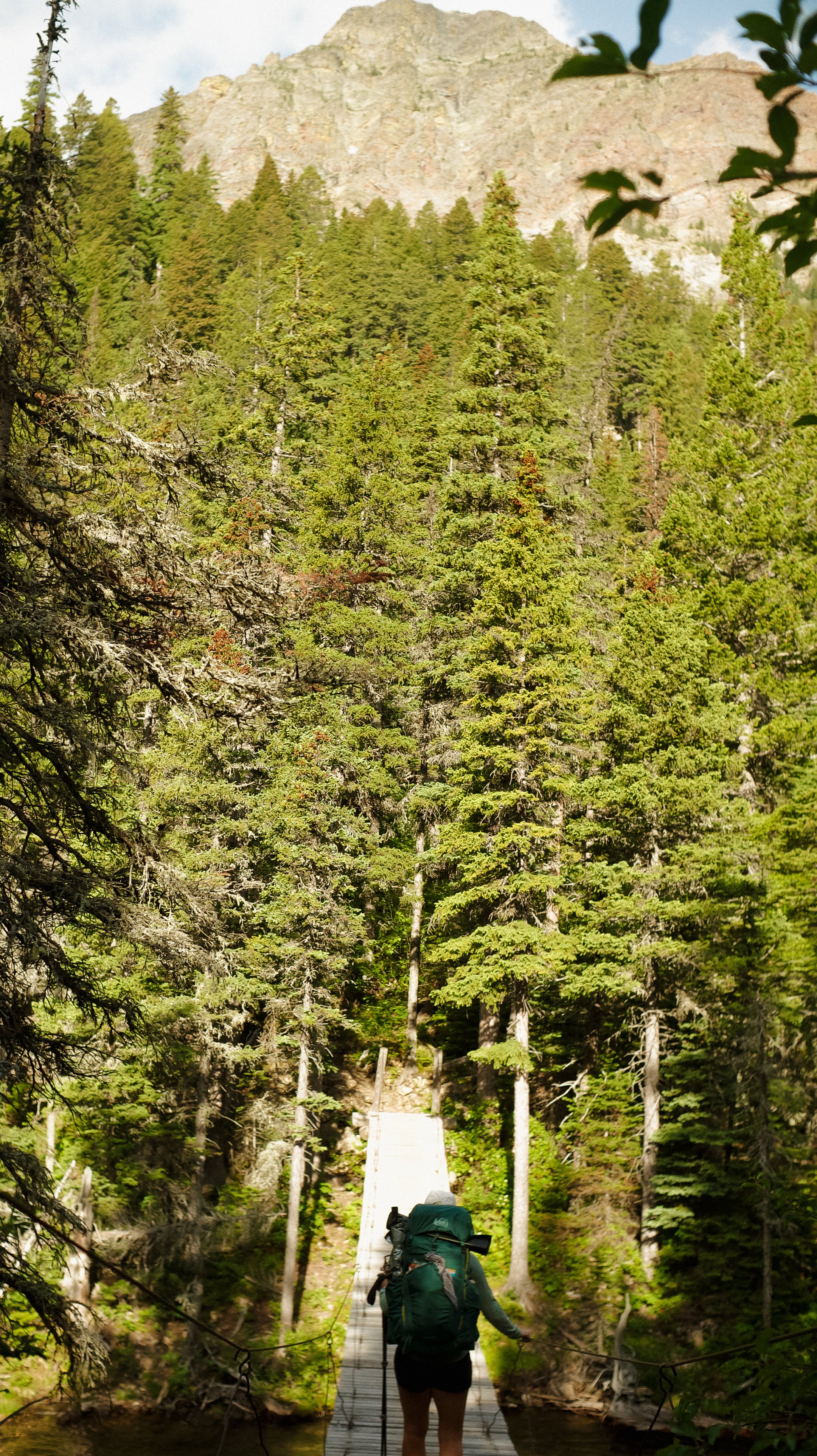
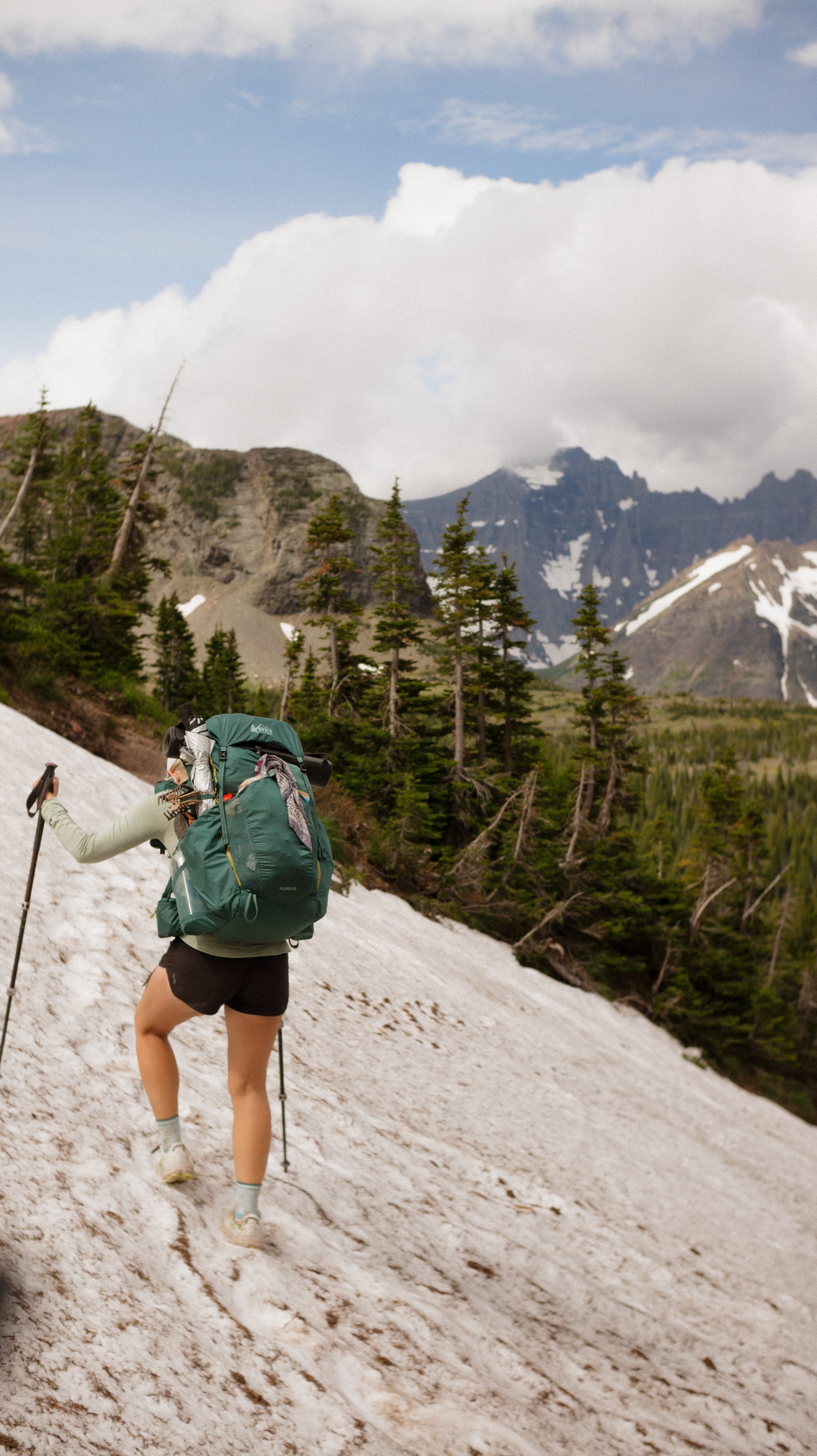
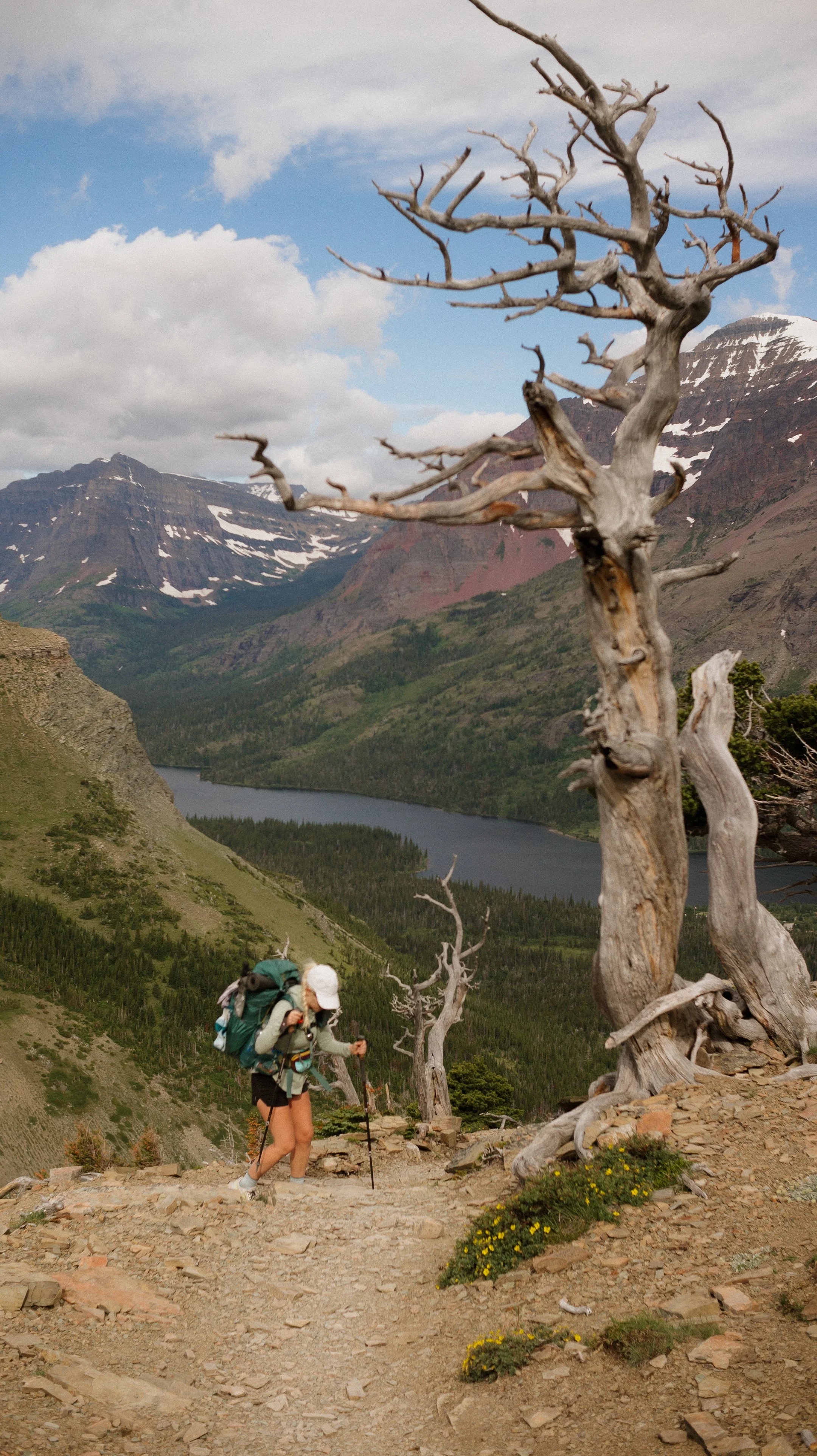
There were several suspension bridges throughout the park, which took a little bit of time to get used to as the center wobbled vigorously. After the next bridge, the climb to Red Gap Pass began in earnest. The climb was steep made more difficult by my pack carrying six more days of food. As I got higher, the elevation also hit a bit as I had come from sea level. Add in a few snow patches/traverses to contend with and it was a formidable first challenge.
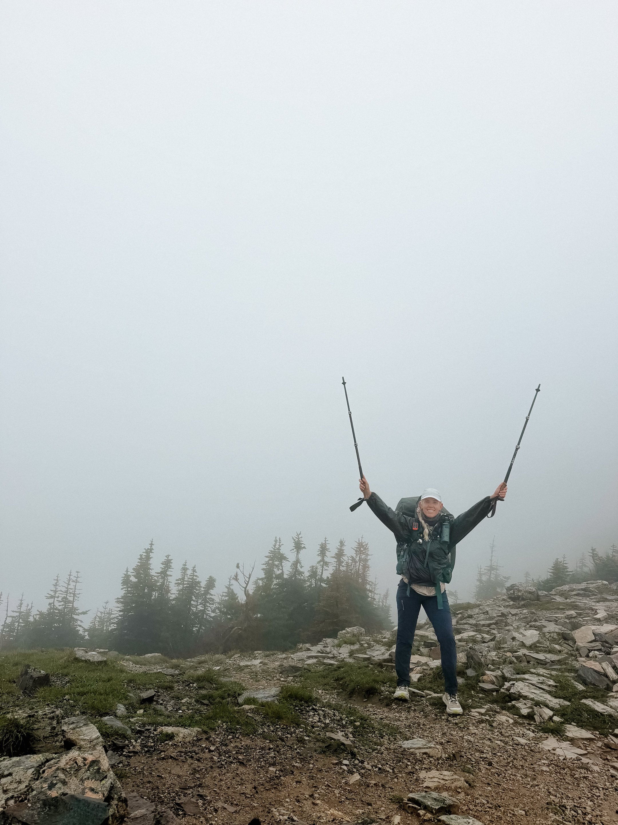
The pass was stunning! I had a windy and quick lunch with Foggy and George before rapidly making my way down. More snow would greet me and briefly make me lose the trail. Luckily the Sierra on the Pacific Crest Trail prepared me and I navigated down.
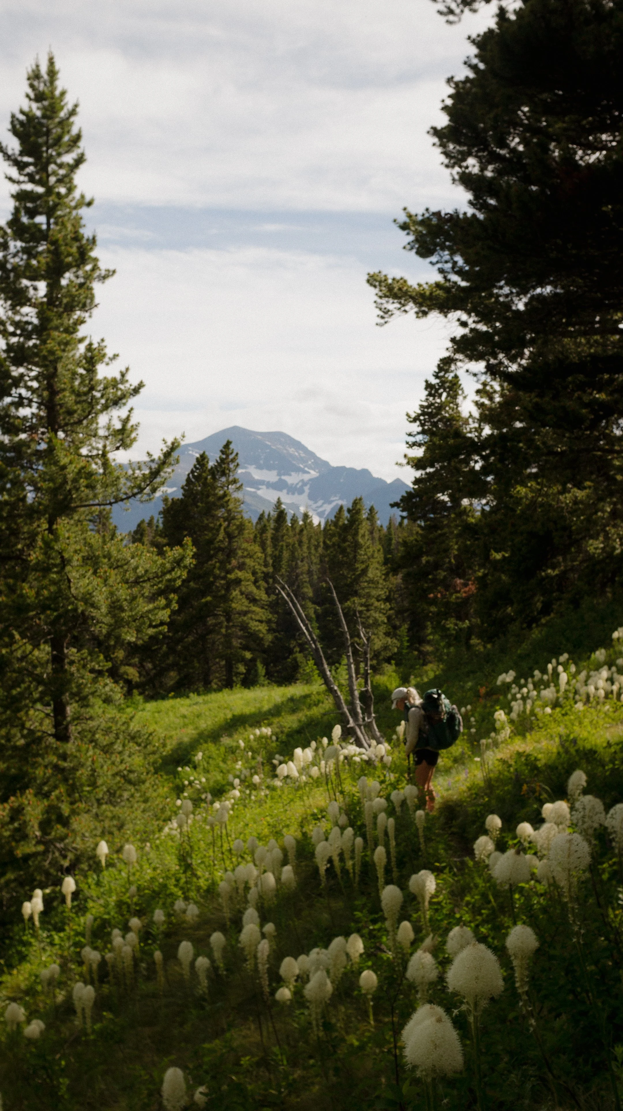
Once down, there was a beautiful lake and camping area (Poia) that I took a rest and snack break at. There was one more climb for the day and it proved steep! It was not as much elevation gain as the one prior but because my legs were tapped out… this one was difficult. The descent was hard but walked through valleys of tons of bear grass!
I arrived at Many Glacier campsite with George and Foggy was already there. I set up for the evening and eventually Millie came through too. She had just had a grizzly bear run in which was fascinating to hear about. Gila Monster, Dimps, and more were also in the backpacking site which made the night enjoyable.
Except for the part where my camping pillow popped due to baffling blowing out. Rough day 2.
-
Sleep: Friend’s House, St. Mary
Miles: 14.5
Elevation Gain: 3212 ft
Elevation Loss: 2815 ft
Weather: Rainy, Cold, Hail, Storm
Overall Day Sentiment: Hypothermia this early?
The day began with some excitement as I was heading to the Ranger station where I would pick up my CDT hang tag! This will dangle from the outside of my pack for the duration of the hike. I have my PCT and AT tags saved so this will be the perfect trifecta. We all knew some weather was slated to come in but the ranger showed no concern, so I didn’t have much haste either.
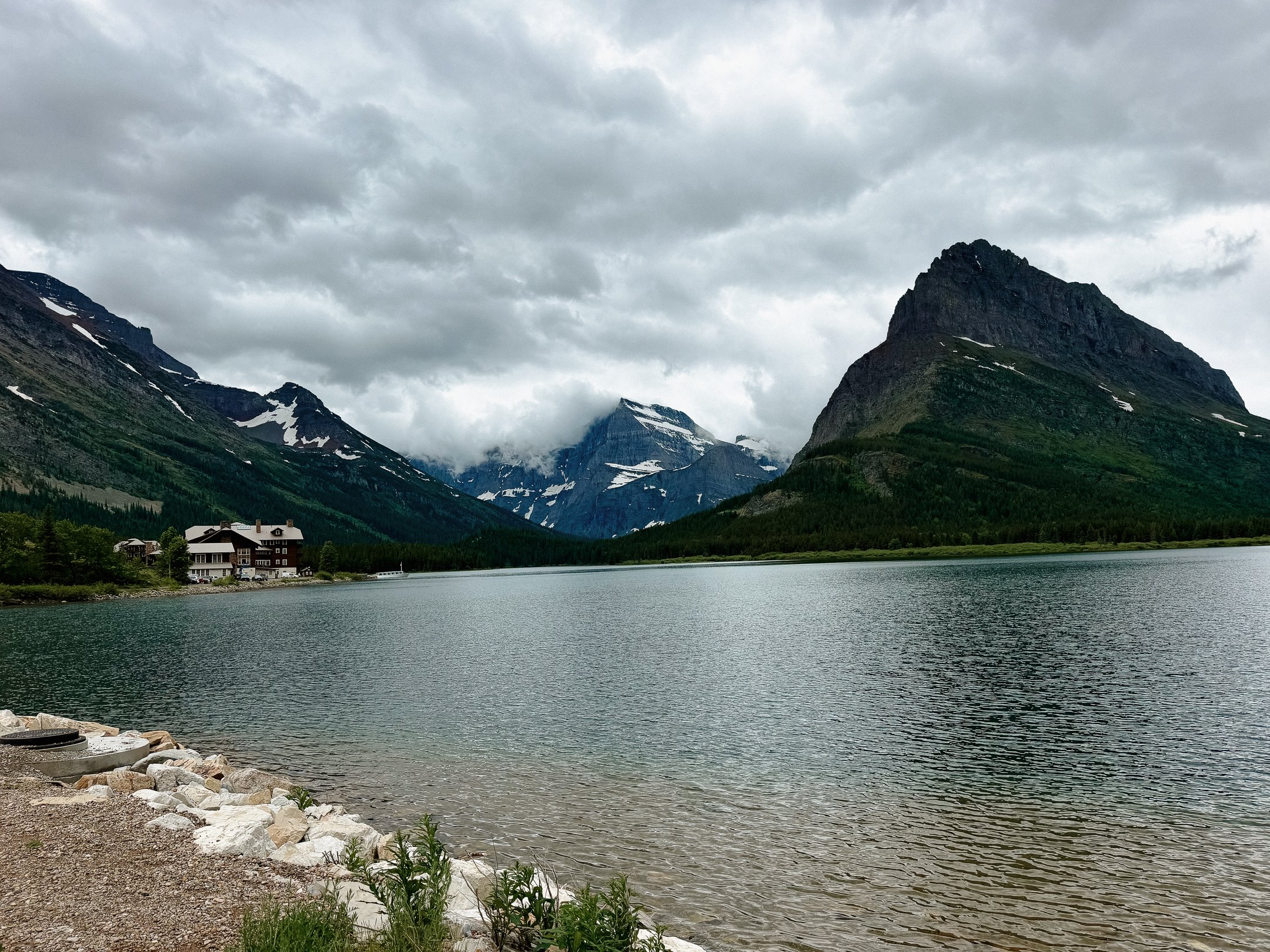
Both George and I stopped at the Many Glacier lodge for coffee (me) and snacks (him). It was a stunning building with buzzing energy from the tourists. More talk about the weather but nothing too serious.
George and I set out, met up with Millie for a bit, and then continued on. There was a big climb this day up to Piegan Pass but several flat miles before then.
We were just chatting along the way and it happened. A grizzly bear around the corner, while I am on foot. I immediately stopped and alerted George of the bear by not so calmly whisper shouting “Bear bear bear”. We popped our head around the bed again, this time with bear spray to watch its moves.
It was bumbling along and crossed over the trail in front of us. We both continued to chat to it with calm “hi bear” and more for it to know our presence. It was just chomping on some bushes when George moved to get a better look. When George made eye contact with it, the bear stood up on its back two legs. Still was not aggressive in any way but wanted to see us better too. We backed up again and continued to chat to it.
It then sat down on the side of the trail as it was particularly interested in a specific bush. During this time, Dimps and Leatherfoot, along with two day hikers found us and we stopped their forward progress. The bear got up and moved - the group waited a few minutes. We continued as a group of six for awhile, safety in numbers, and found a smaller bear next to the trail a bit up the way. We moved through safely and all held our breaths.
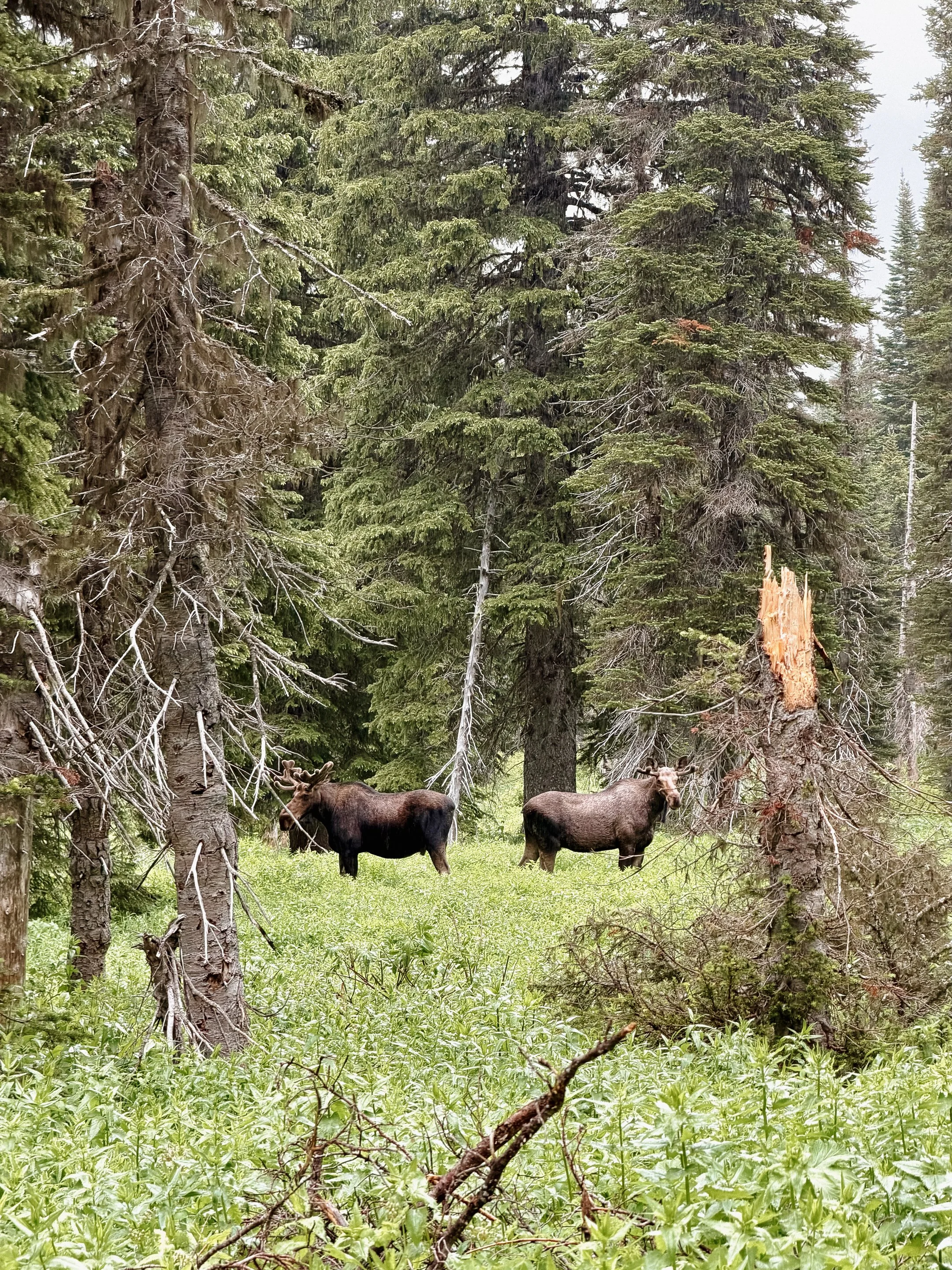
Finally upon reaching an open meadow, we ran into two bull moose! It was now beginning to rain, so the moose were in their element, while I prepared myself for precipitation.
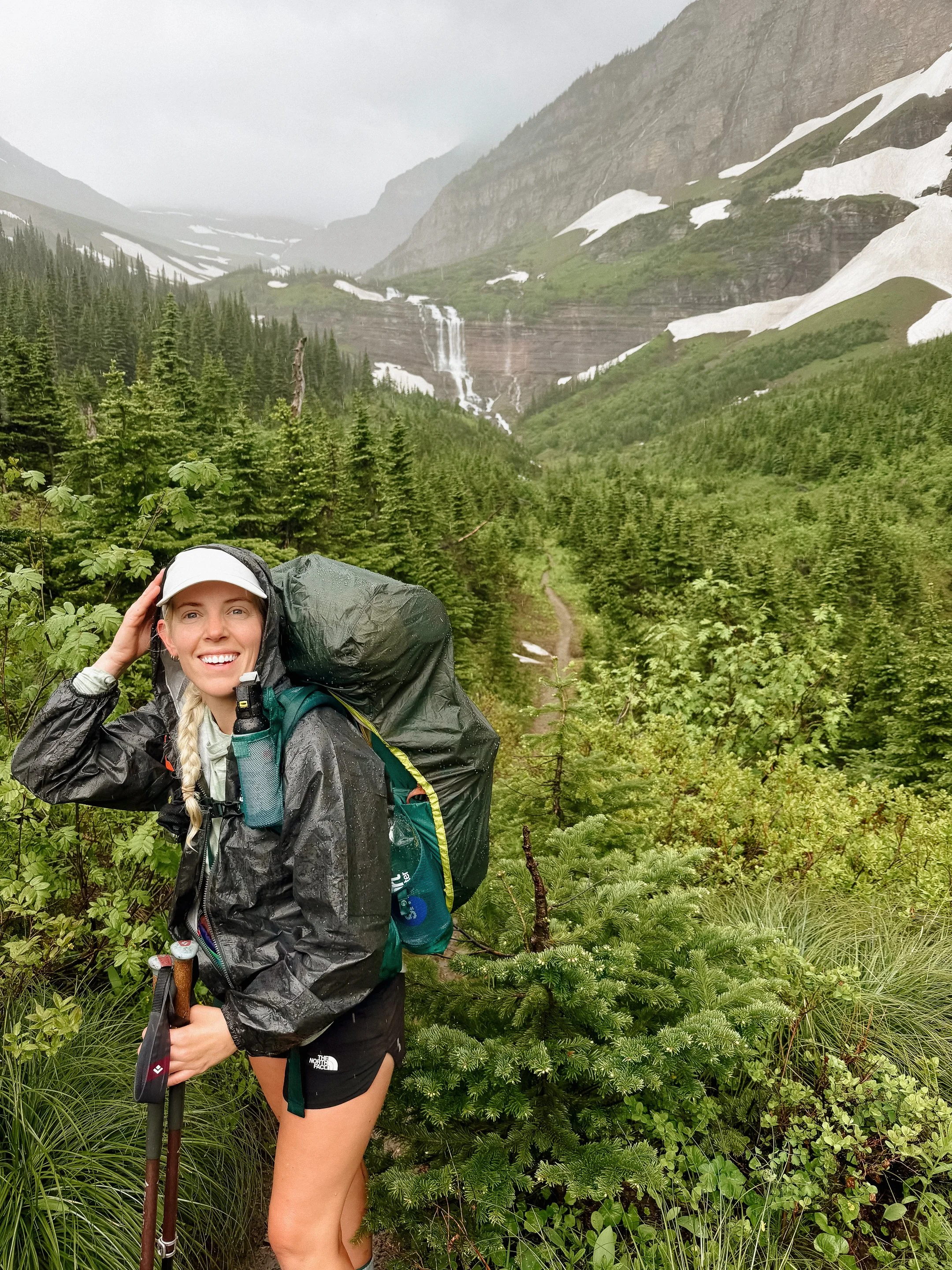
The group eventually split up, primarily due to a knee high river crossing. It began to rain in earnest now which complicated the snow traverses. As we climbed higher and higher, no surprise but it was getting colder and colder. Adding in an extra layer during a deluge was necessary but uncomfortable.
This is where the day got dicey. The pass seemed to go on forever, the rain continued to increase in velocity, temperature dropped precipitously, hail appeared, winds also made and entrance. Georges pack cover got ripped off while I ducked into a ball to not get pushed off the mountain by the force. I cried my way to the top.
Once at the top, it was a race to get down as I was getting foggy headed and I knew that was the sign hypothermia was setting in. George shoved a granola bar in my mouth to try to get my body heat up, but there was little to be done.
The descent would have been difficult on any day, let alone in these conditions. The weather was exponentially worse than the weather or rangers predicted so we wanted to get down. There were ample snow drifts to slip down in between trees, which is what I did. At one point, George got out his phone to check the trail because it was so snowy (this would prove a bad move).
Eventually we both made it to the Going to the Sun road where anything above this junction had been closed due to inclement conditions. We were so so so lucky that it was still open at this point because otherwise it would have been a six mile roadwalk at a minimum. Nate and his dogs (Rocket and Echo!) was the first car to drive by us and pick our weary selves up. So thankful for a trail angel.
He dropped us off at the Saint Mary Visitor Center where my friend Trish, from the Camino del Norte, would be picking me up later. I shook uncontrollably upon arrival and I knew that I had just made it out of the situation in time. While both George and I changed into mercifully dry clothing, he discovered his phone was dead. The ziplock bag he had it in failed. Day 3 and his main navigation tool/lifeline in a foreign county was gone.
Trish and Brian picked us up and took us in like their own. I dried out my things, took a warm shower, and had a lovely meal with Trish’s family. The storm continued to rage on through the evening and I could not have been more thankful for a structure.
At the same time, I heard from Millie and Foggy that they were safe and camped in the bathroom at the campground. I was also so thankful for their safety because it was such poor conditions - you never know what could happen.
As I laid in Trish and Brian’s guest bed, listening to the storm on the roof - I wondered where I would be without the Camino (hiking) connection.
-
Sleep: Friend’s House, St. Mary
Miles: 0
Elevation Gain: 0
Elevation Loss: 0
Weather: Rain, Thunderstorm, windy
Overall Day Sentiment: Thankful for a structure and trail angels!
The storm from the day prior continued into the day with no signs of slowing. I woke up to the news that the Many Glacier area was closed; campground, all trails, even the lodge was being evacuated! In addition, the Going to the Sun Road was also shut down much further down than it was when I hitched into town yesterday.
Trish and Brian continued to be all star trail angels and offered for Foggy and Millie to join George and I at their cabin. This would allow everyone to dry their things and start the remaining bit of Glacier Park right. Brian drove George and I to town; we ran some errands (hello, new headlamp) and then the four of us arrived back.
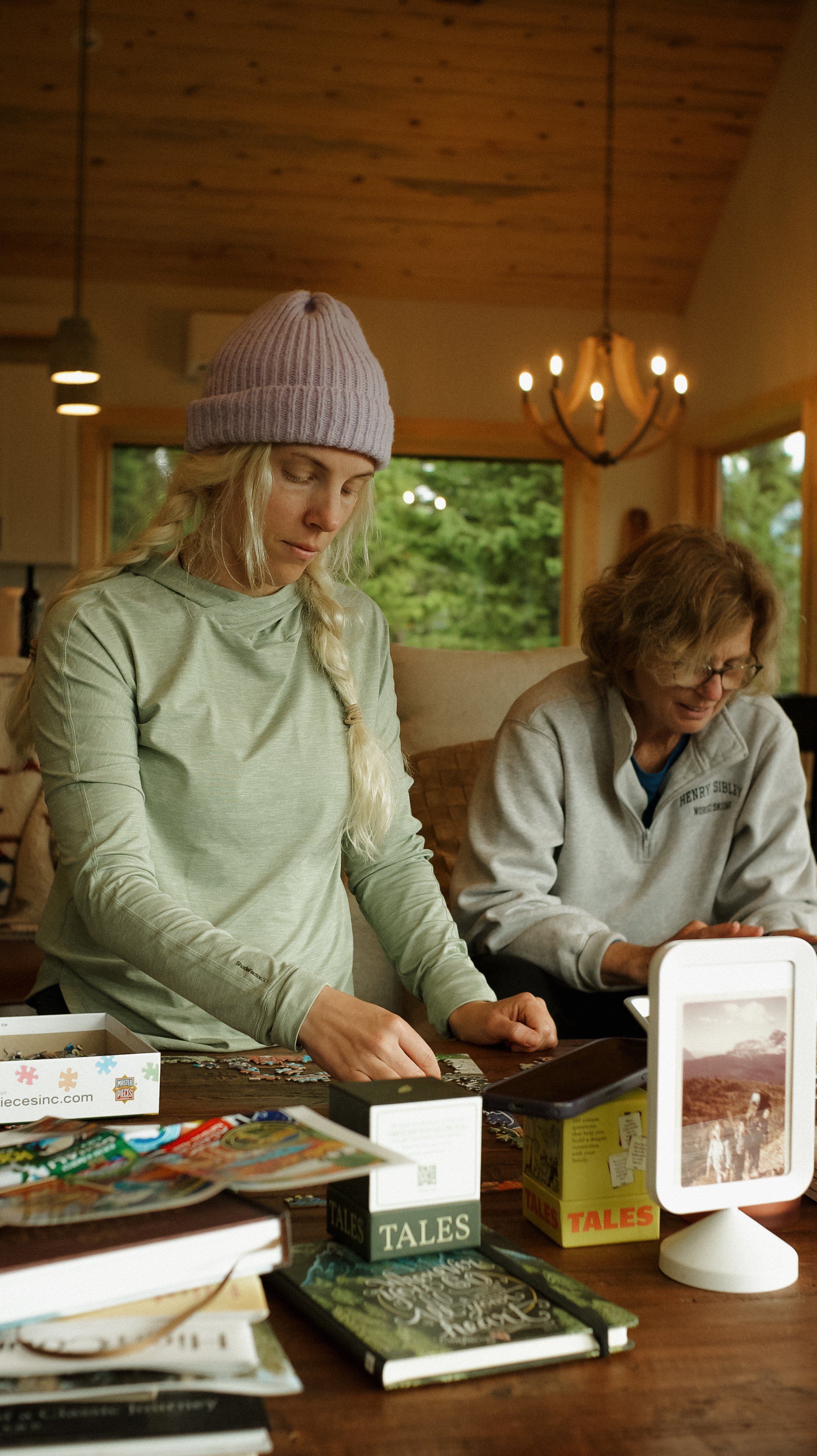
The evening was relaxed with puzzles, trip planning, chores, dinner together, and more. It was a dreamy evening for everyone after such a stressful day before.
It rained and stormed into the night.
-
Sleep: Camp at Mile 74.8, Atlantic Creek
Miles: 19.8
Elevation Gain: 4199 ft
Elevation Loss: 3304 ft
Weather: Intermiten clouds and sun, drizzle
Overall Day Sentiment: Back on trail!
The four of us woke up and got ready early while staring at a mostly clear sky. Trish made us breakfast and coffee, which was a perfect way to start the day. Brian then drove us to the St. Mary trail connector trail that would meet back up with the CDT in a few miles. Grateful doesn’t begin to cover it.
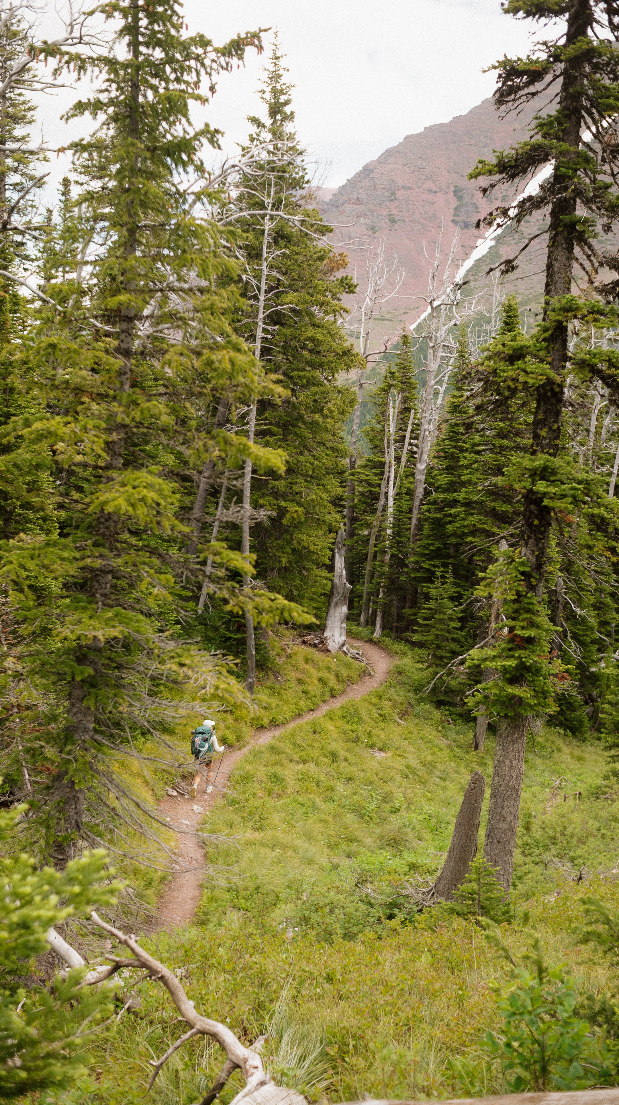
The first part of the day was through a large burn scar. There was a variety of smaller plant and animal life taking over the gaps the large trees had left. In this section, I also saw many bear prints in the mud and became hyper vigilant in checking for bears everywhere.
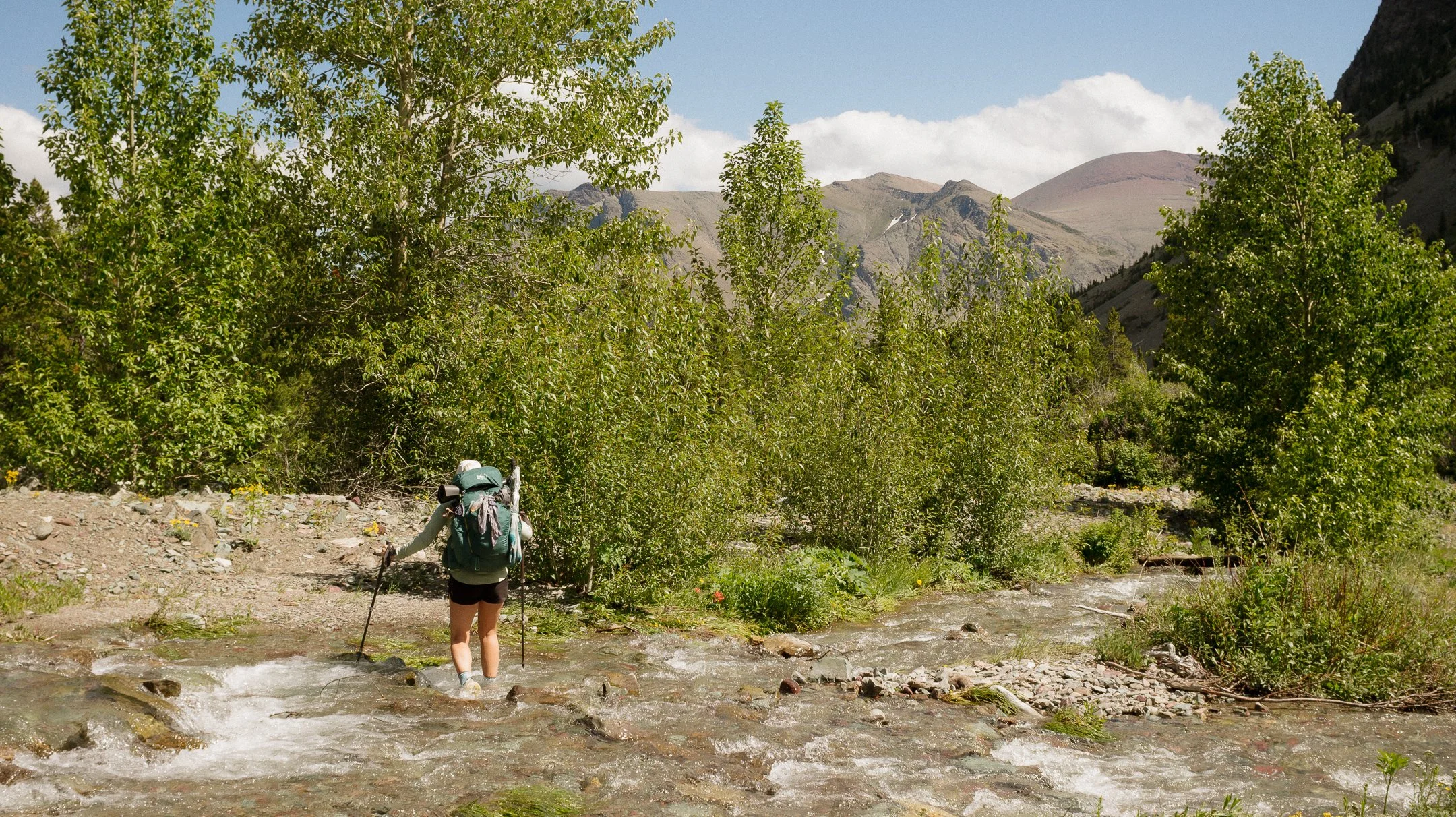
The nonstop rain from the days prior had turned the trail into a mud pit and the streams into raging rivers. There was one river crossing that gave me intense Sierra Nevada flashbacks. Though there was a bridge, it didn’t cross the whole span. Because it was clear that the second part never flooded… ya know until there was a storm of a decade. Around 5 inches ended up dropping in the area in 48 hours.
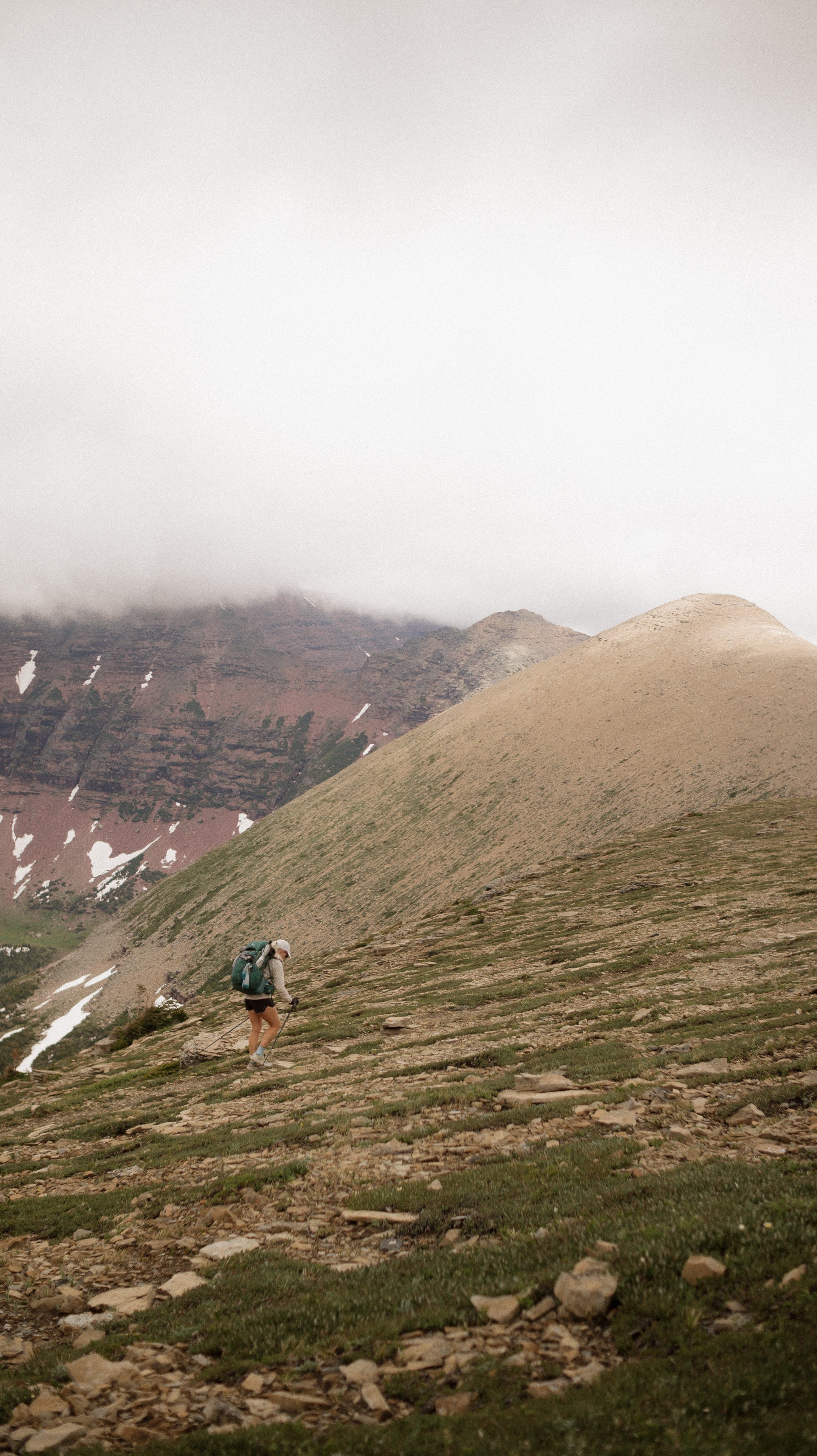
The day became a bit cloudy but never precipitated. The climb up to Triple Divide Peak was tough but moderate after a day off. I was in much better spirits climbing this pass as compared to two days prior. This pass is where the CDT splits into three divides with water going every direction. I peed at the top to contribute to all sources.
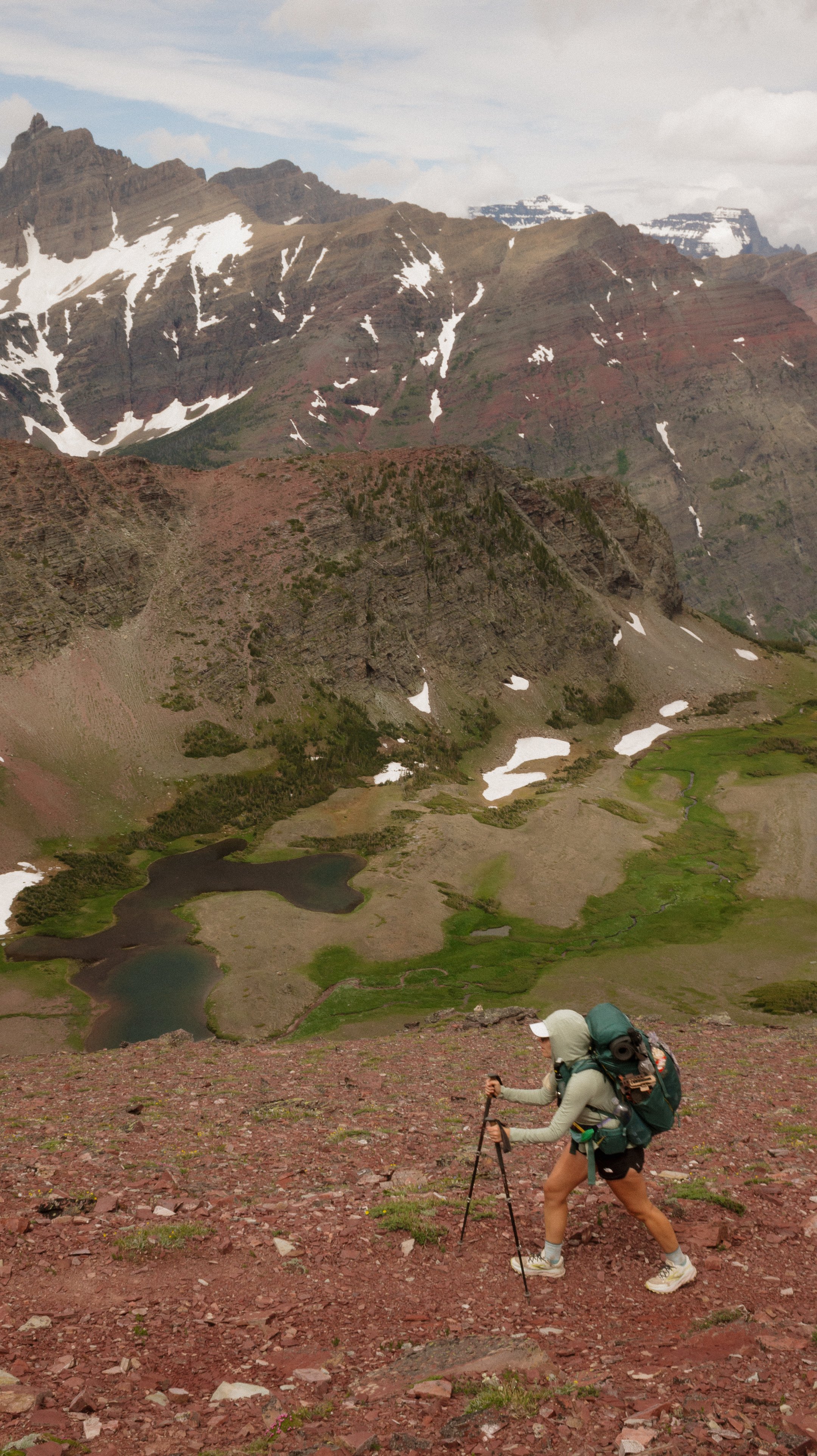
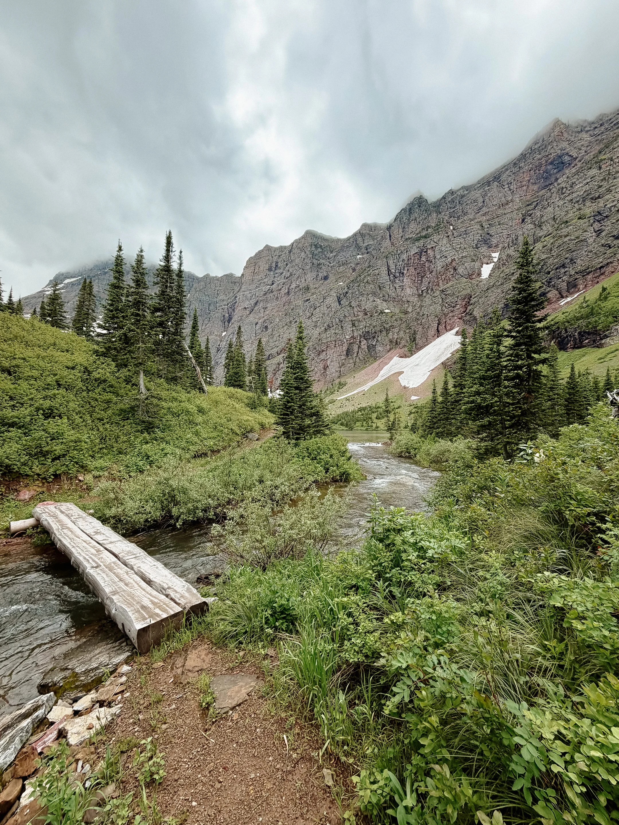
This descent was epic. It felt cinematic, surreal, and any other word from the thesaurus you could think of. This quickly became one of my favorite passes I have ever hiked.
It continued for a few miles where I finally reached our campsite. George and Foggy were already there getting dinner ready. I was buzzing with excitement from the day and remember this is why I love thru hiking. Millie eventually rolled in and peppered hilarious stories around which was a welcomed way to close out the evening. My favorite included her falling into a waterfall that covered trail and she was turtled in it. Pure comedy.
-
Sleep: Camp at Mile 90, Two Medicine Temporary Wilderness site
Miles: 15.8
Elevation Gain: 3035 ft
Elevation Loss: 3156 ft
Weather: Sun
Overall Day Sentiment: What is this campsite? Dump site??
Because this was a relatively short mileage day and the day prior had been a decent one, I could hardly be moved. Got going late but I remained positive.
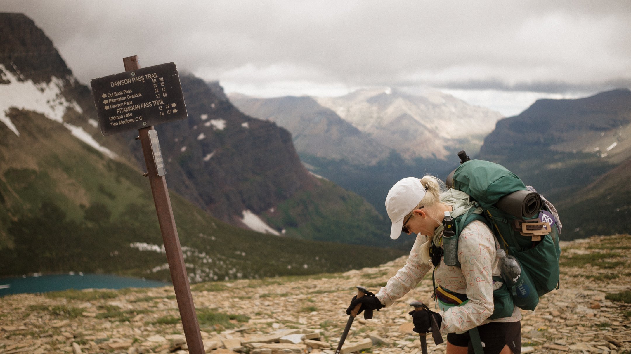
The climb for the next pass started nearly immediately - as did the stream crossings that got my new socks wet. The majority of this ascent was through a fantastic valley that was so dense with forest that it was hard to know if you were making any progress. That was until I popped up above some treeline and realized how far up I had come.
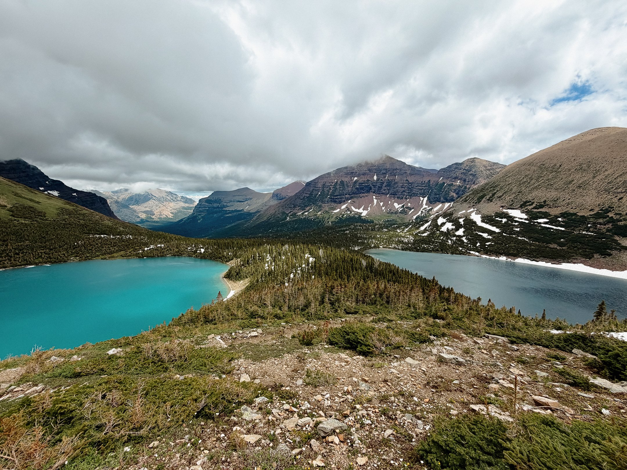
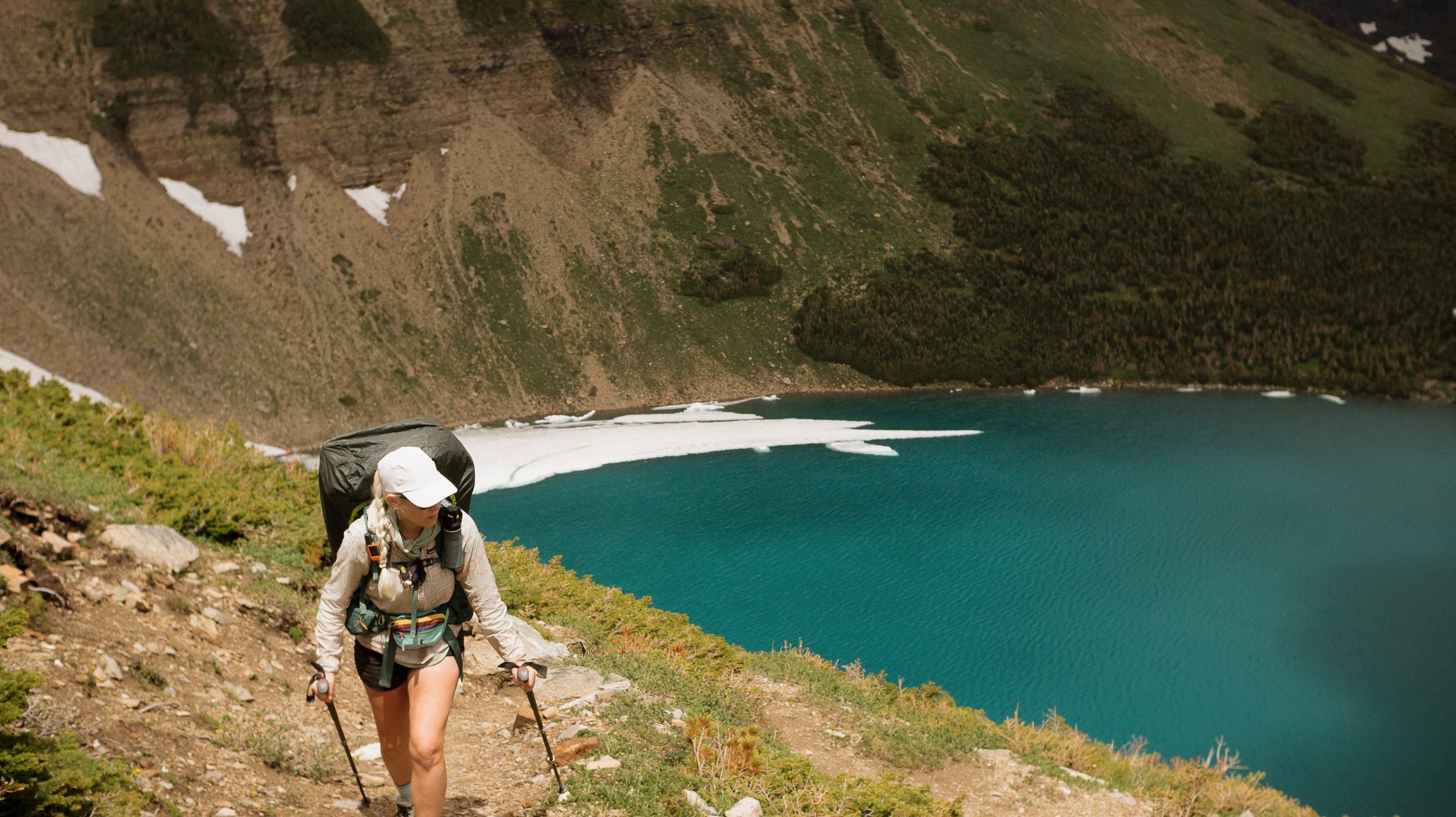
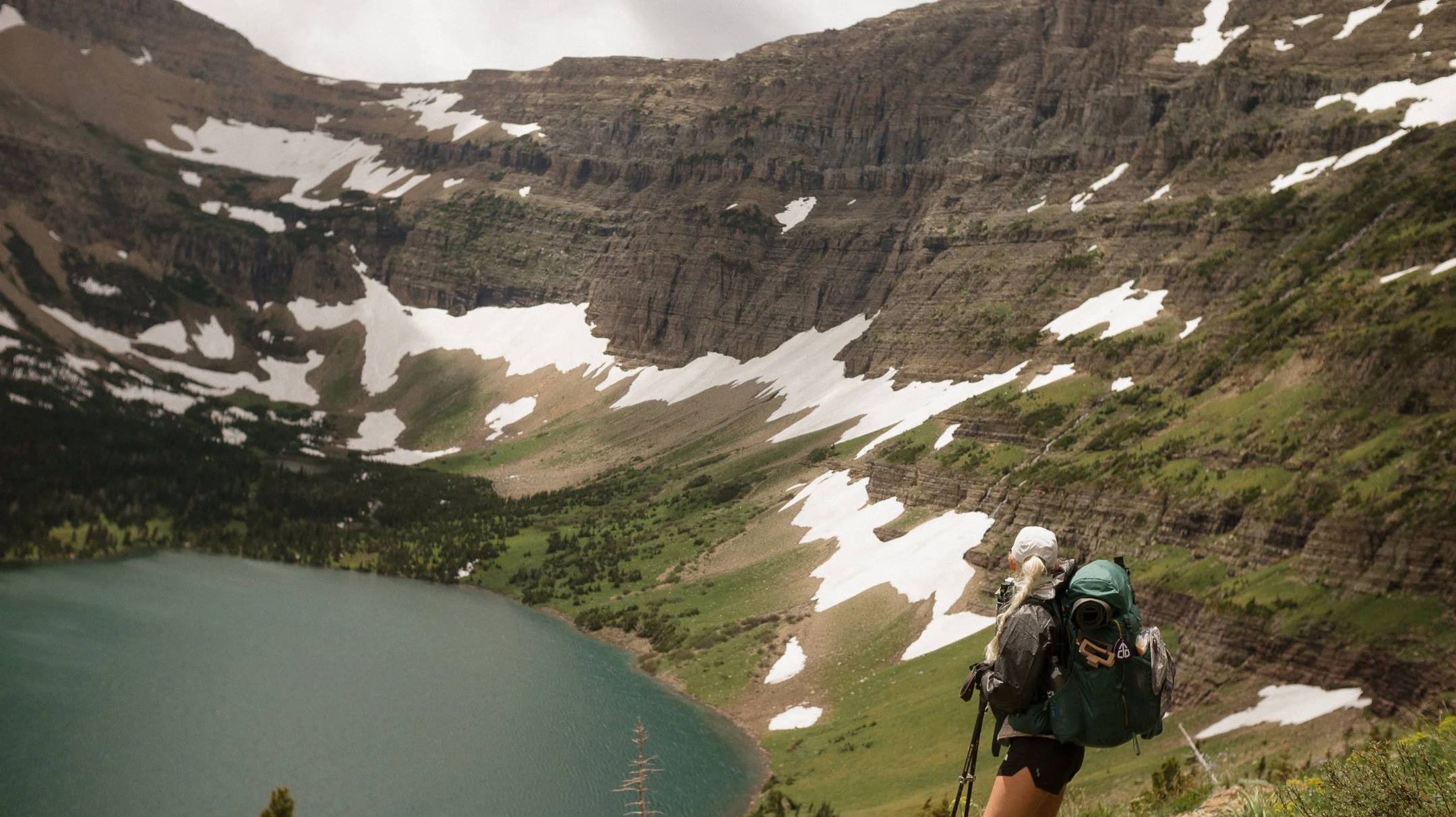
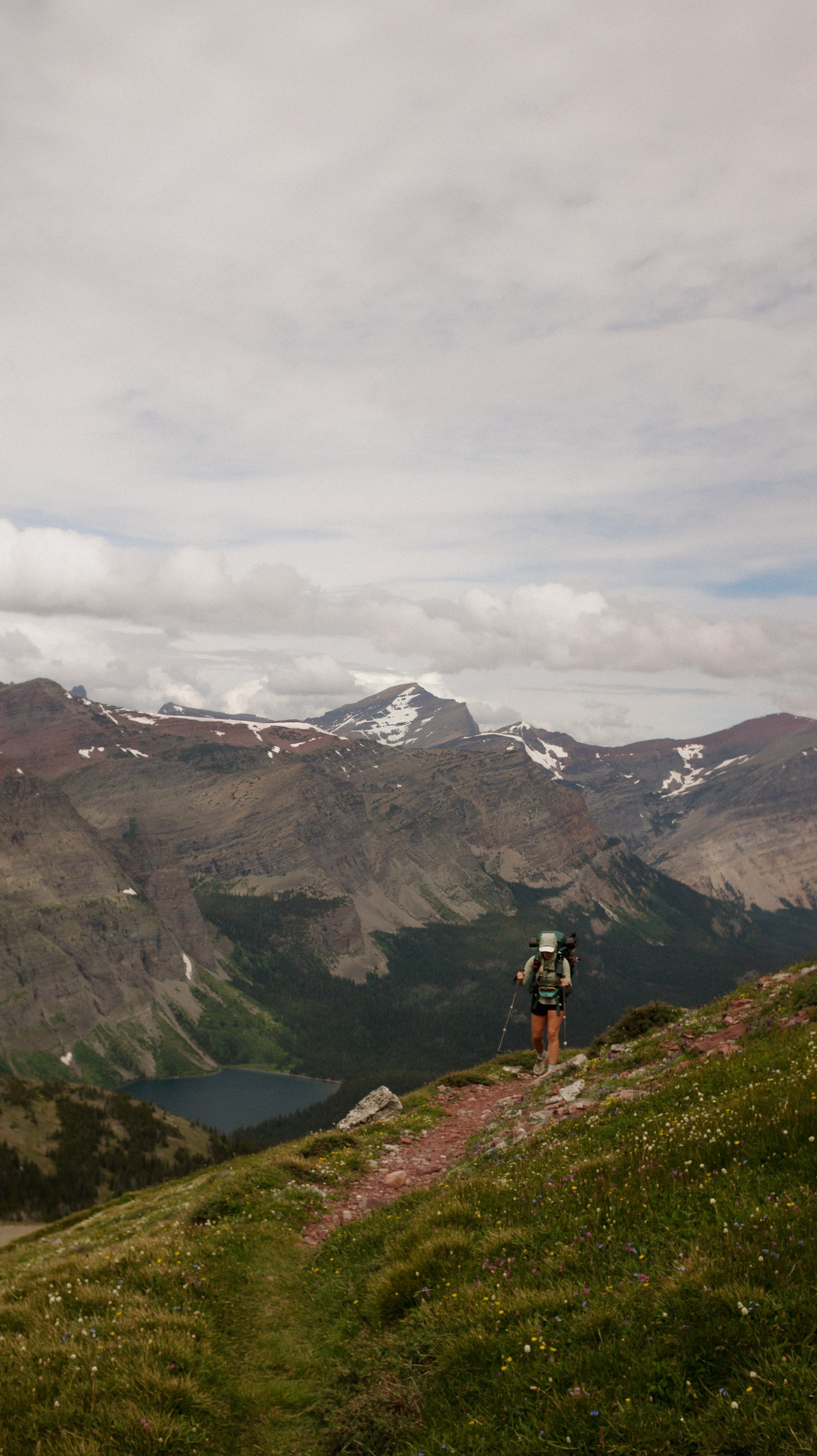
There was a solid amount of non-solid snow in this section through the sporadic trees. Some of the climbing felt like snow stairs with small tree well snow free landings. At the treeline for this pass, there were two absolutely breathtaking twin lakes side by side. They had a land mass in between them but were roughly the same size. Despite this, they were completely different colors. Hard to grasp on camera but the juxtaposition was stark.
I finally made it up to Pitamakan Pass and had lunch with George at the top. The ground squirrels in the alpine zone provided ample entertainment.
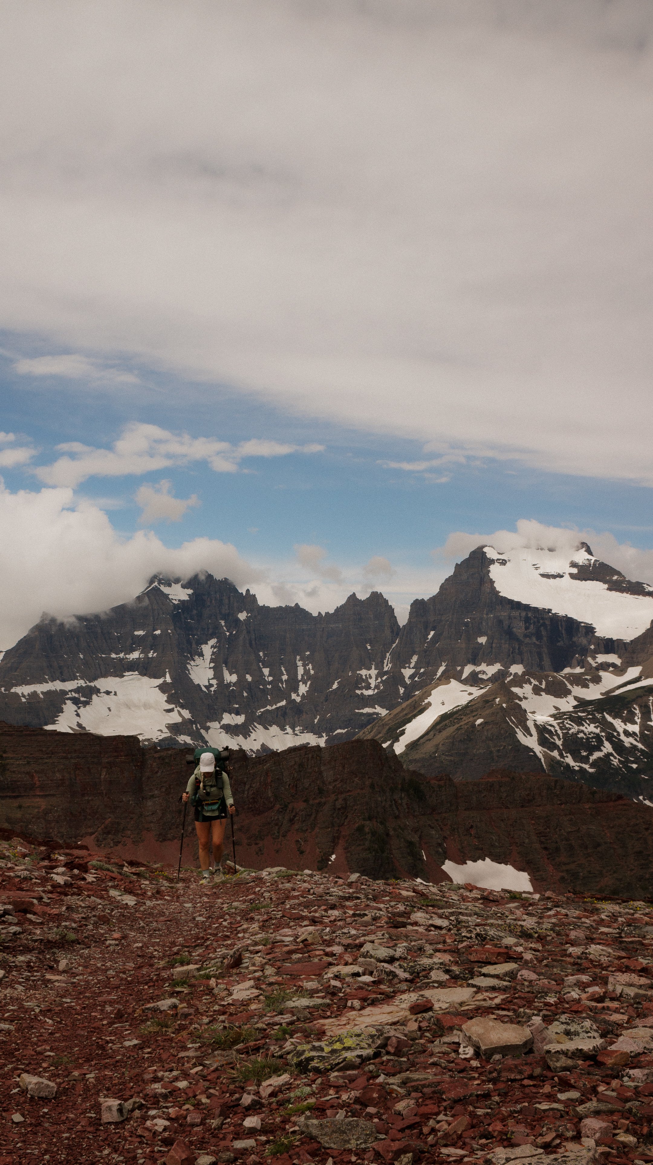
The descent was initially steep and reminiscent of a knife’s edge but eventually widened out. The rock formations in this area were like nothing I have ever seen before. The layers of rock were indicative of a lot of sedimentary action that was then chiseled out by glaciers. This place took an incomprehensible amount of time to create.
The remainder of the descent was through and open valley that made the miles go by quickly. The last bit was through shoulder/head height foliage and which makes the trial near impossible to see but I didn’t roll my ankle therefore it was successful. The last bit of the day ended with a National Park Service reroute that required a mid-thigh river crossing. Interesting.
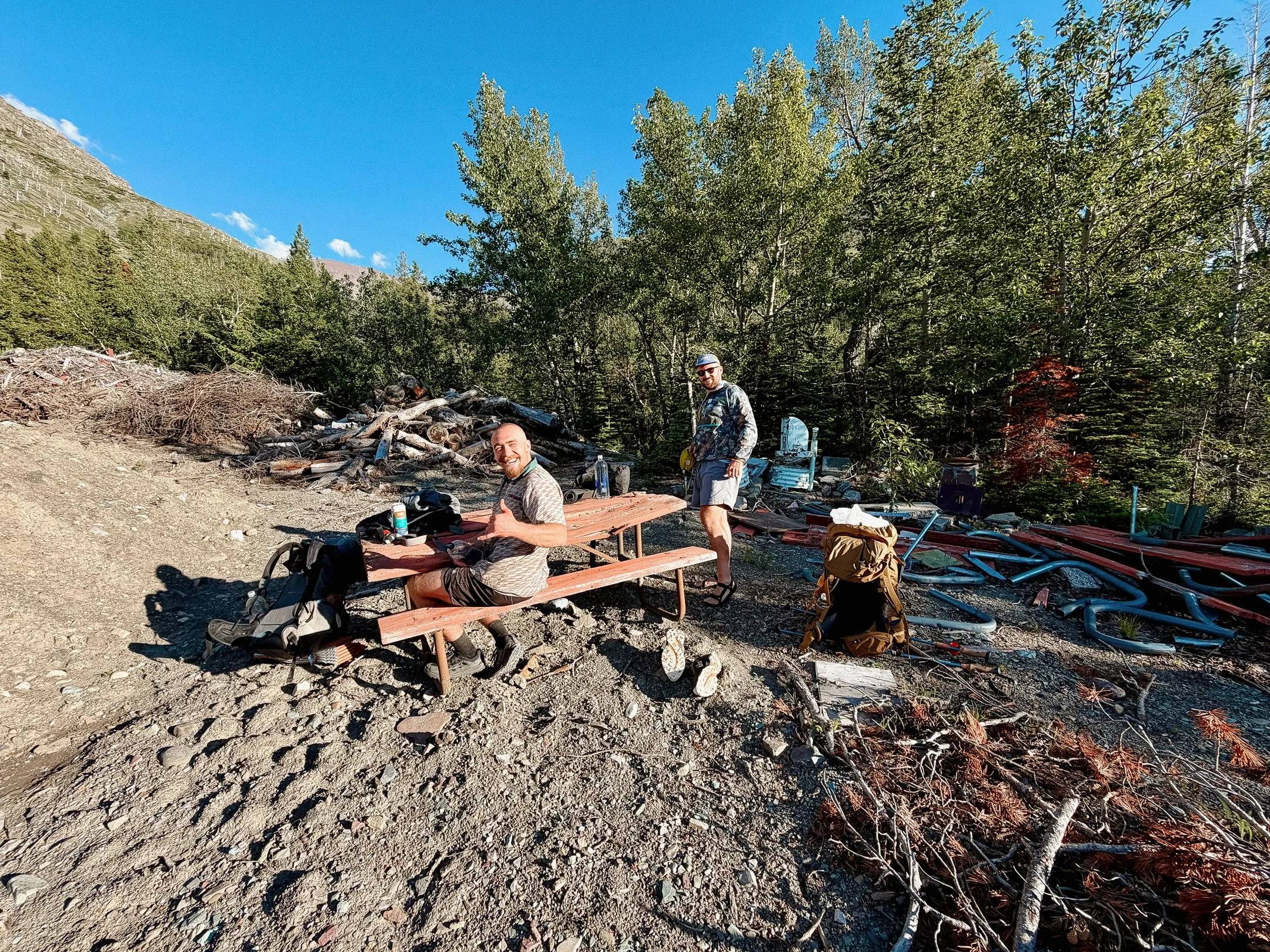
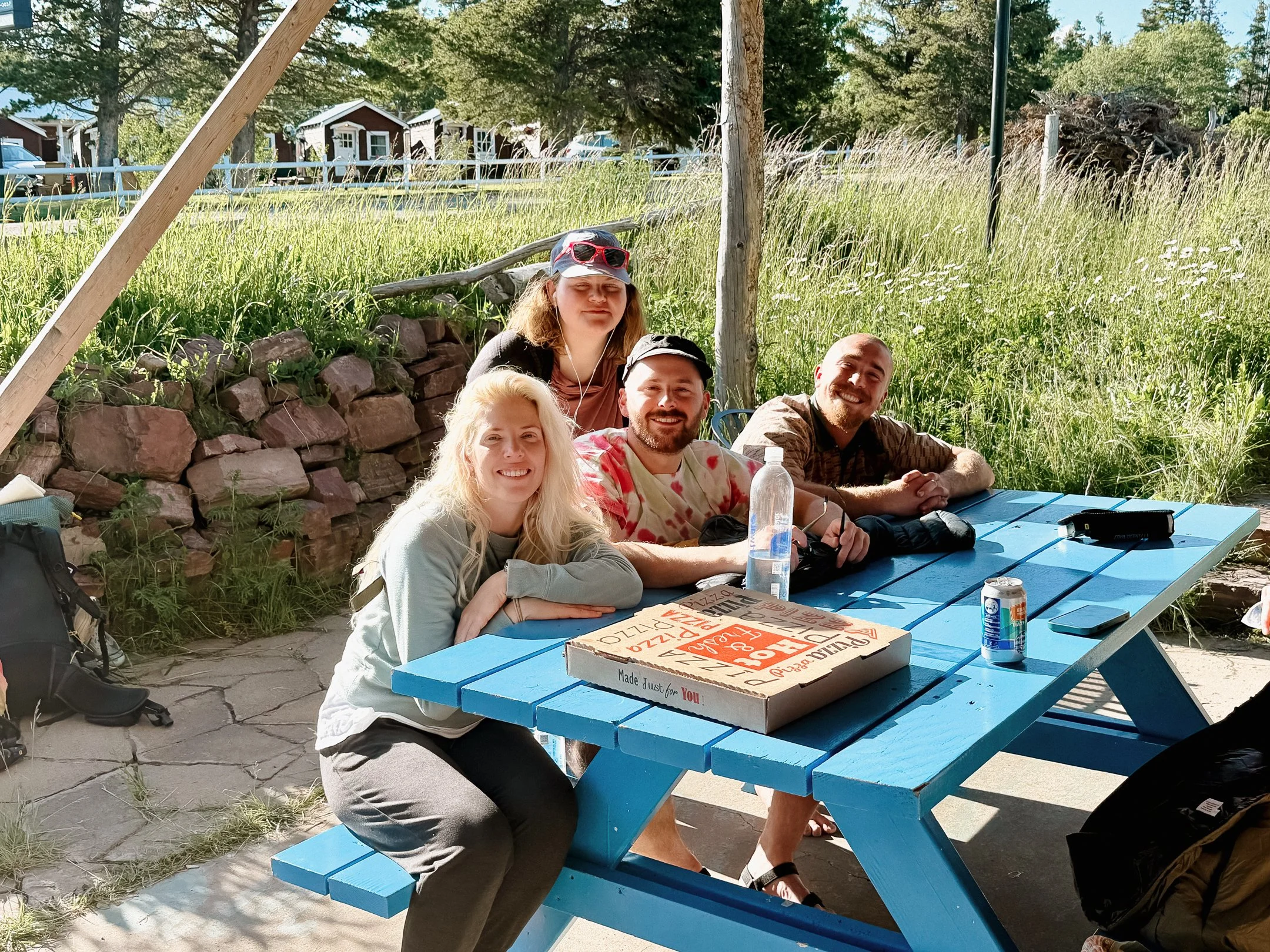
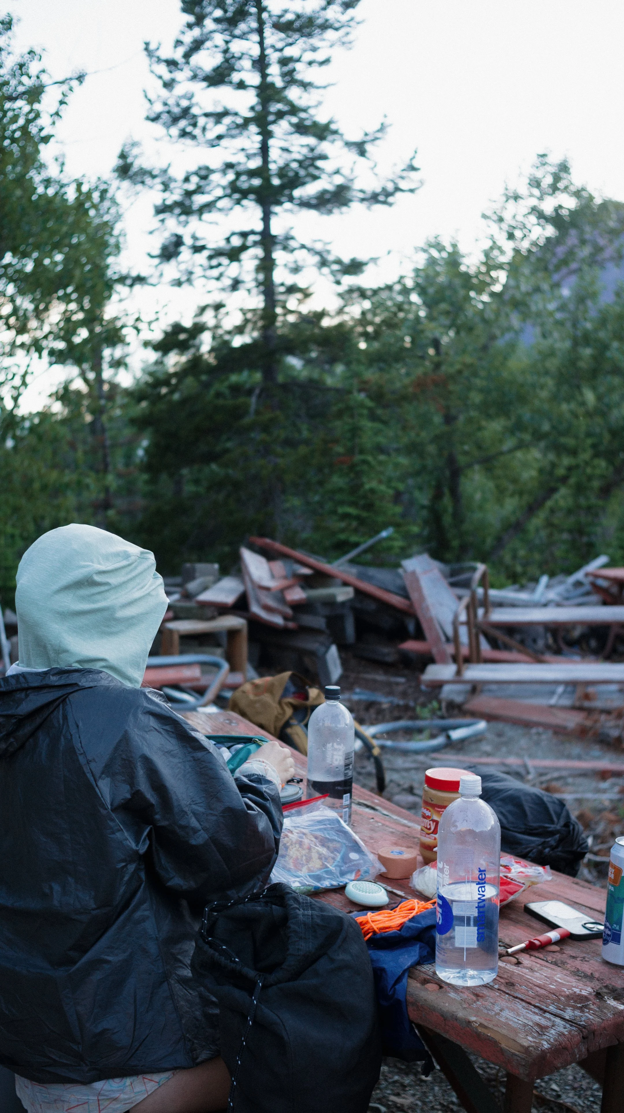
George and I met up with Foggy at the General Store where we planned to hang out for a few hours. The typical Two Medicine campground was closed and there was a temporary one set up which I was not excited to get to. The afternoon flew by and the three of us made our way to the literal dump. It was a dump. The behind the scenes of the park.
We turned over a picnic table from the pile of discarded tables to give ourselves an eating area. A ranger came by and chatted with us for a bit and apologized that the map of the temporary campground was not accurate and there was supposed to be an eating area.
Millie arrived and we four rejoiced at a successful, though tumultuous, time in Glacier was complete! As one of the last groups to complete the park in its entirety with the Many Glacier area closure.
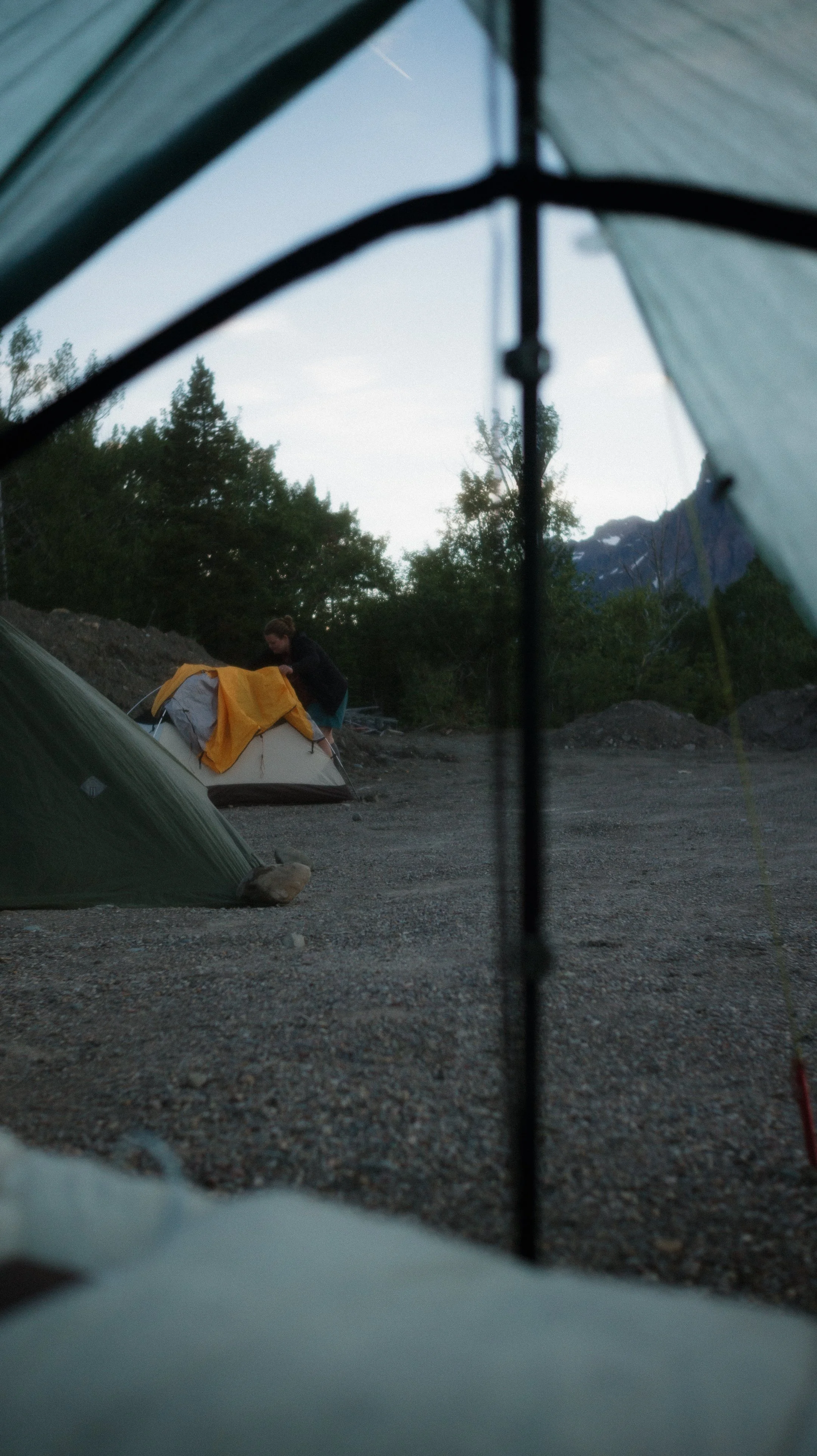
We set up our tents on the gravel area as the tenting area was full of thigh high weeds and literal trash. Around 10:00pm, the same ranger as before accompanied by another woke us all up to tell us we were camped in the wrong spot. Despite the map being incorrect and the tenting area having broken glass bottles in it, we had to move.
At first they cited “too close to the food” aka the bear box. But the “tenting” area was 20 feet away and somehow closer? Then there was the excuse that this was a construction zone that trucks would be in at 6:30am. Foggy tried to present reason, but the ranger threatened a ticket and called in a Code 14, “the prowler”. This means that they would be requesting backup because we were being combative.
So after 10:00pm, we all moved our tents to the trash pit and I’m sure that ranger was real proud of himself.
-
Sleep: Camp at Looking Glass Hostel, East Glacier
Trail Daily Miles: 11.7
Elevation Gain: 2365 ft
Elevation Loss: 2874 ft
Weather: Sun
Overall Day Sentiment: Easiest climb yet!
After a late night getting to sleep after the park ranger woke us up, we were not moving early. Based on the rangers narrative, I figured that the construction equipment would have been my alarm clock but color me surprised when my alarm when off at 7:00am with no workers in sight! When the group left at 8:30am… still no workers.
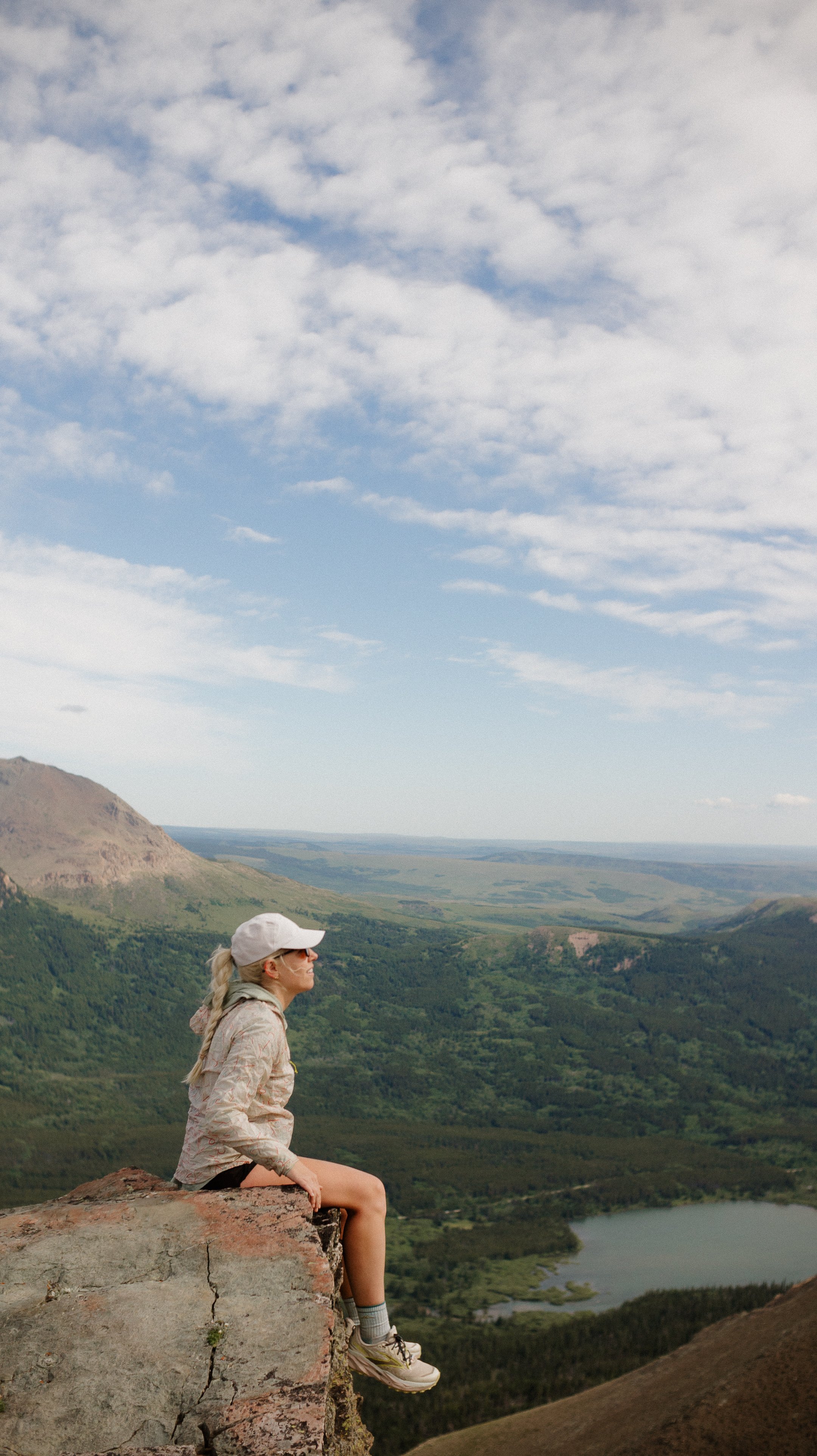
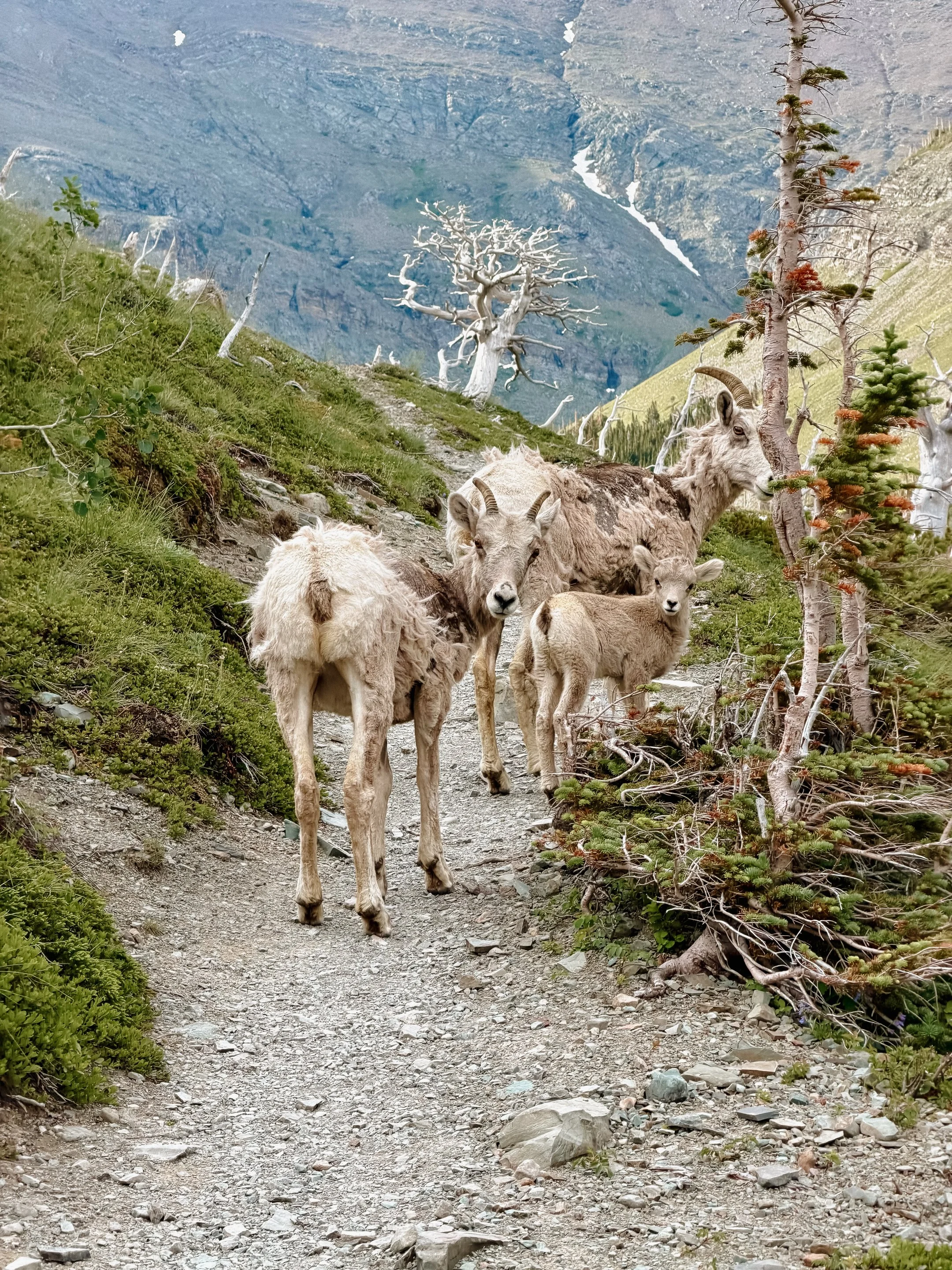
The last climb before getting back to East Glacier was short and steep but named Scenic Point for a reason. There were many day hikers that thought it a fun game to leap frog constantly with us all while dodging a big horn sheep family.
The top of the climb was beautiful and worth it. Hard to believe that only a few days ago, it was getting hypothermia is such a beautiful place. Welcome to the mountains?
The descent was quick and it was an overall fast hike to get back into town. The last two miles or so were riddled with blowdowns (trees fallen across the trail) but we got them sorted and found the slim trail leading to our destination.
Arriving back at the Looking Glass hostel felt like a warm hug. Once arrived, I quickly went into town as I had something at the post office for me. Unfortunately it was not there. So I drowned my sorrows in tater tots from the diner. Afterwards, back at Lunas, I set up my tent, took a shower, and snuggled in for the night!
-
Sleep: Camp at Looking Glass Hostel, East Glacier
Miles: 15.8
Elevation Gain: 1986 ft
Elevation Loss: 2149 ft
Weather: Sun
Overall Day Sentiment: Thankful for a slackpack!
While I was in East Glacier and planning to take a zero for the 4th of July, there was an easy slackpack* to complete.
*a slackpack is when you essentially go on a day hike without your overnight gear. In this case I only had the bare minimum safety items, along with snacks and water.
Myself, Foggy, and George caught one of the funniest hitches down to Marias Pass with two Canadians; Brock and Soup. They had a 1991 van decked out for interesting activities. They were immensely kind but definitely heading to party it up in Whitefish.
After a quick climb over a coal train that stopped on the tracks/blocked our way, we all hit the trail. It was cruisey and relatively clear trail for the first half. After lunch, it took a bit of a turn as it morphed into a shoulder high car wash of foliages. Hard to see where to put your feet and getting scratched in the process made the last seven miles last much longer than I wanted.
East Glacier was soon back in sight and I was shocked at how many folks had also done/were planning to do the slackpack. I guess most hikers wanted to do some easier/lighter miles!
The night was chill and I was extra relaxed knowing that I had a zero day the following day.
GALLERY