Continental Divide Trail: East Glacier Park - Lincoln
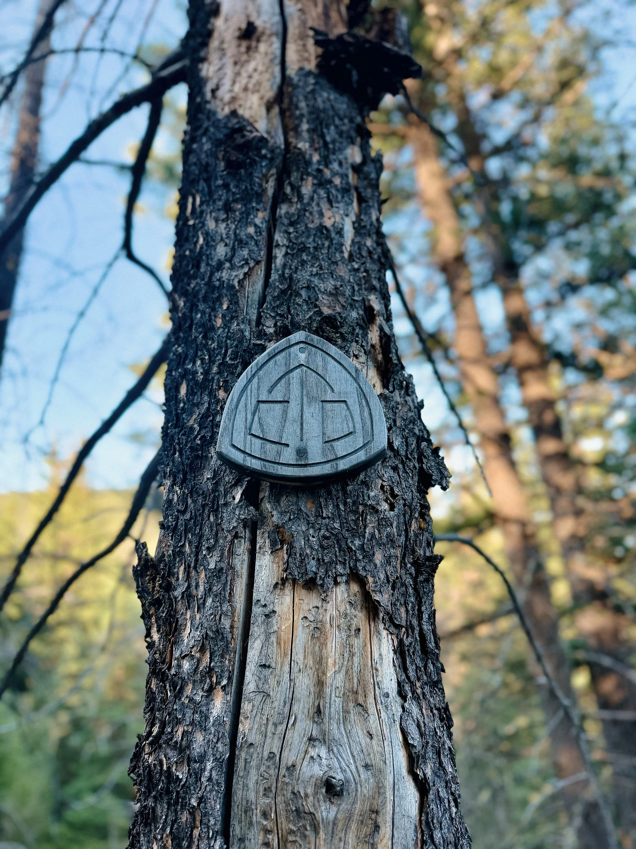
INTROThe Continental Divide Trail is a National Scenic Trail spanning approximately 3,100 miles from Mexico to Canada (or vice versa) through Montana, Idaho, Wyoming, Colorado, and New Mexico, following the geological continental divide.
NOTE
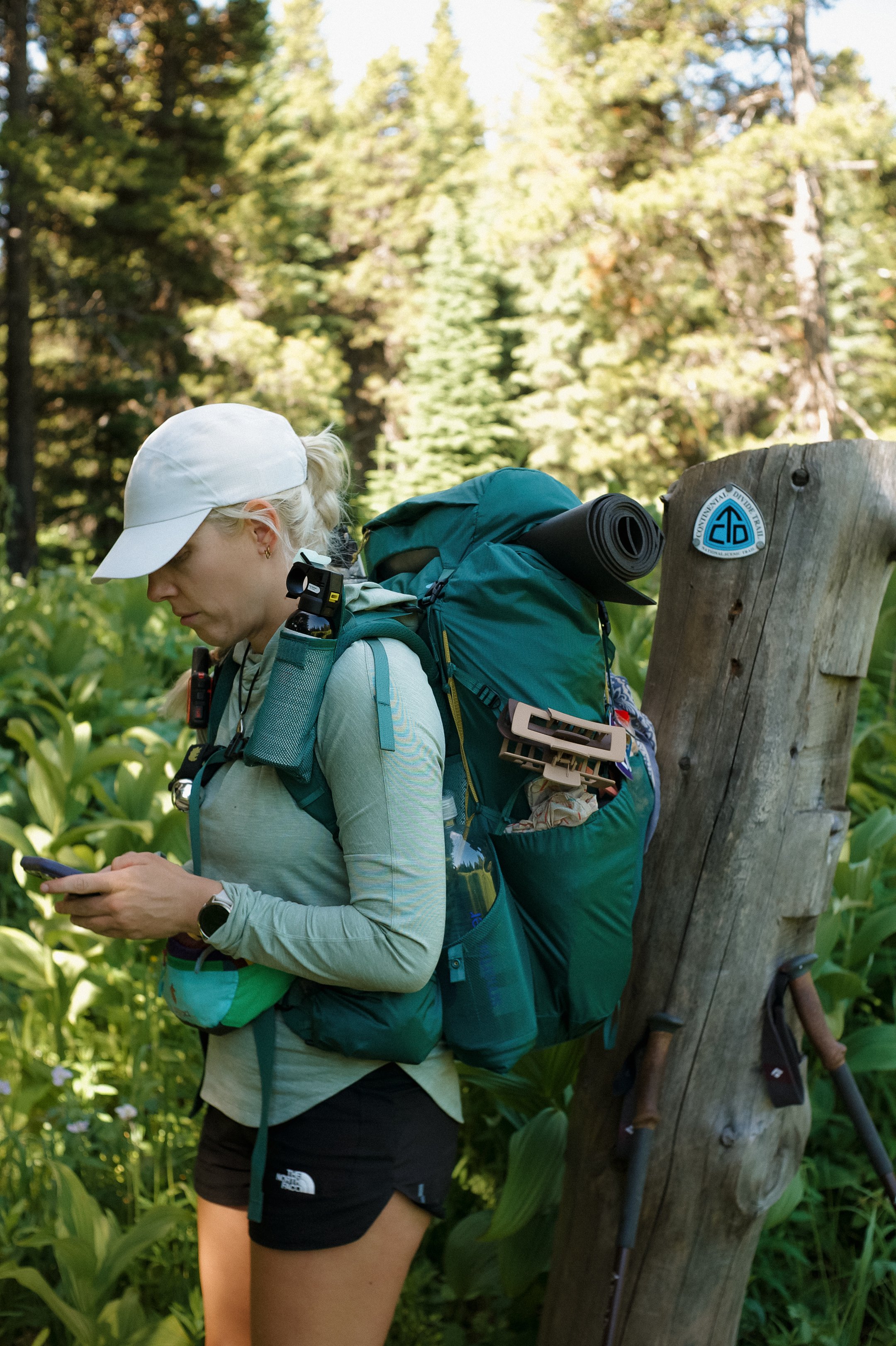
I am hiking the Continental Divide Trail southbound from Canada to Mexico. This trail will complete my Triple Crown of hiking, which includes both the Appalachian Trail and the Pacific Crest Trail.
Unlike the Appalachian Trail and the Pacific Crest Trail, the Continental Divide Trail is somewhat of a choose your own adventure. Alternatives routes, and A variety of options allows this trail to be more fluid. I will do my best to explain the routes that I take in the detailed section.
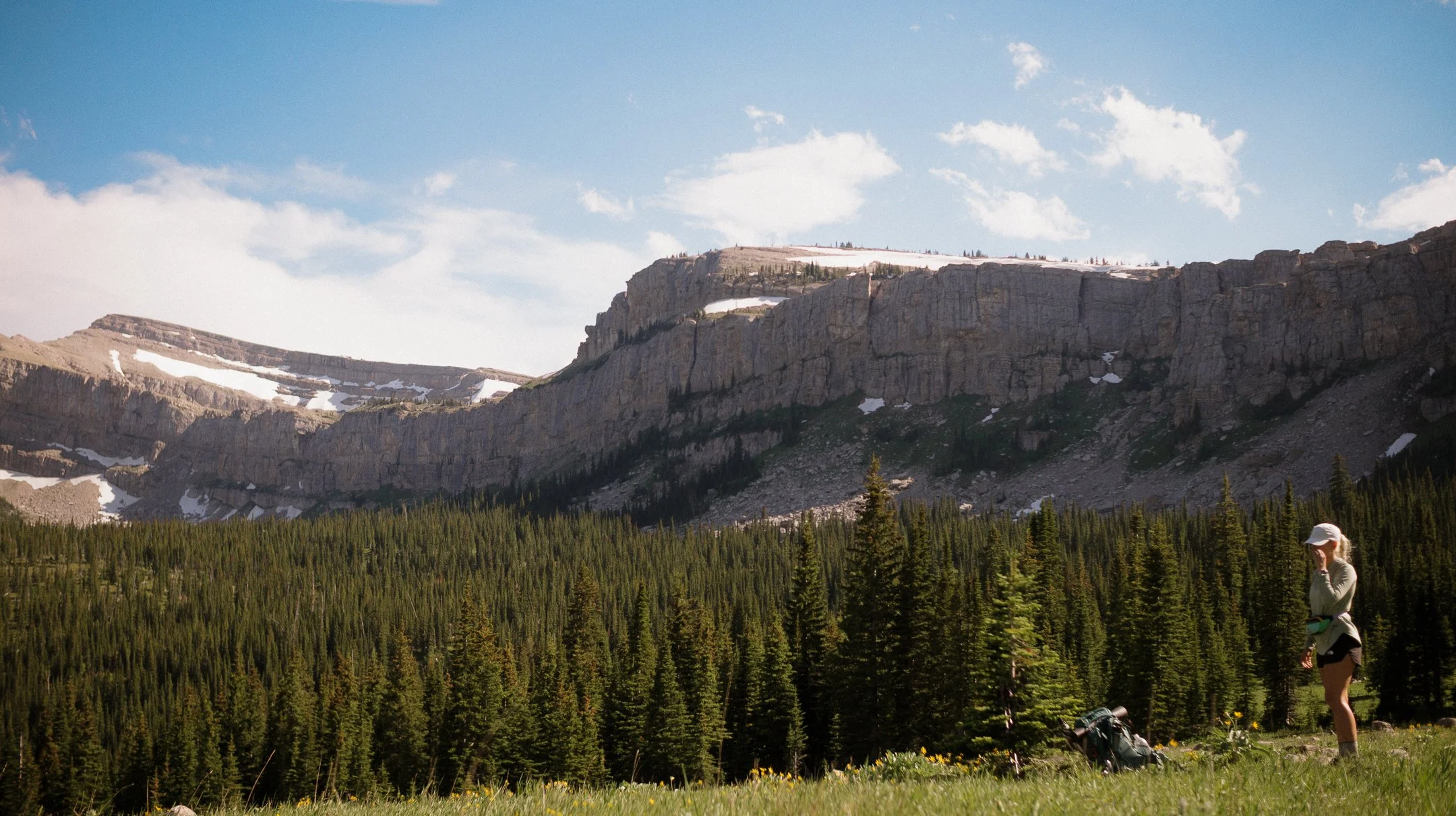
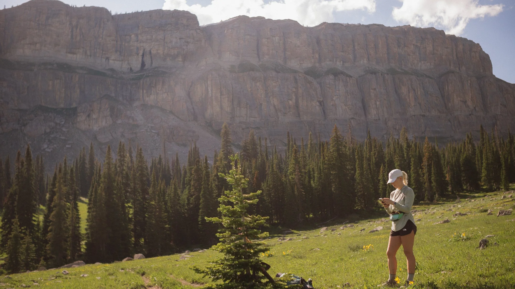
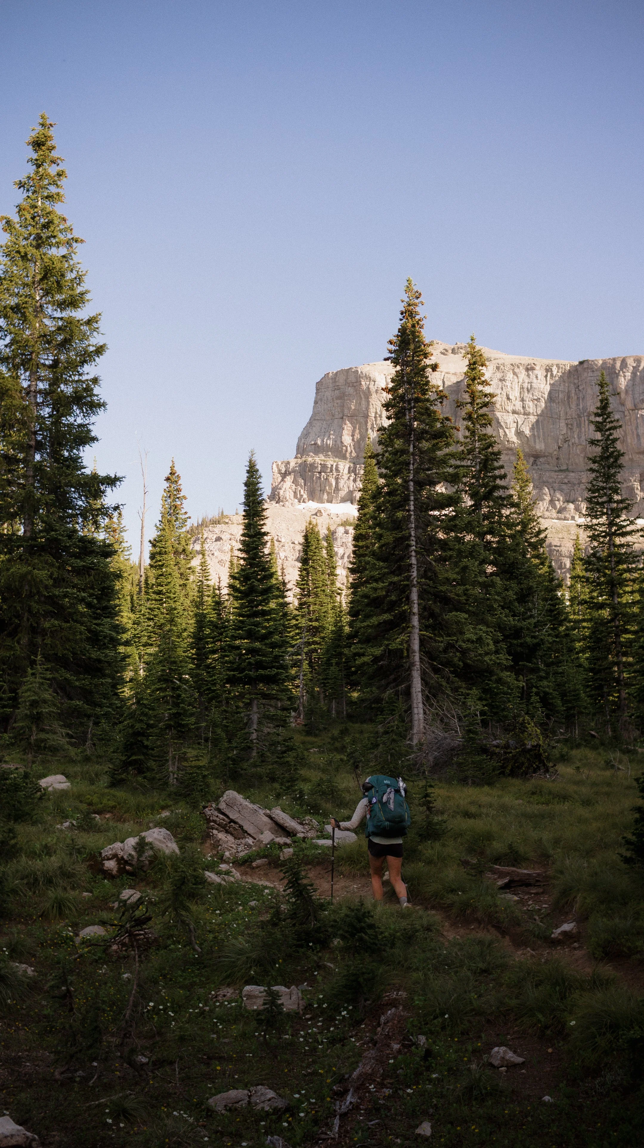
The Chinese Wall
Day 9-17 took me from East Glacier to Lincoln, Montana.
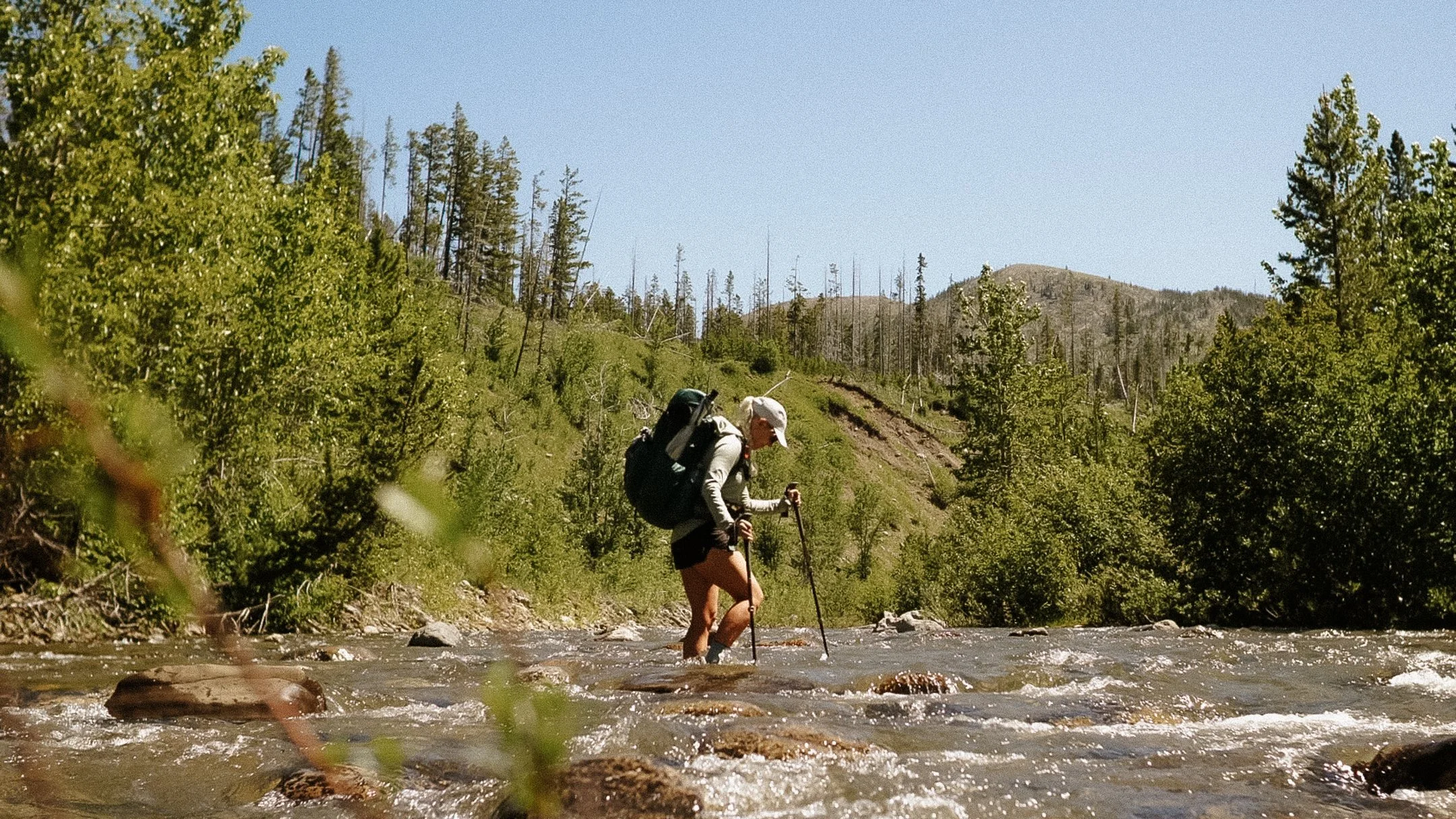
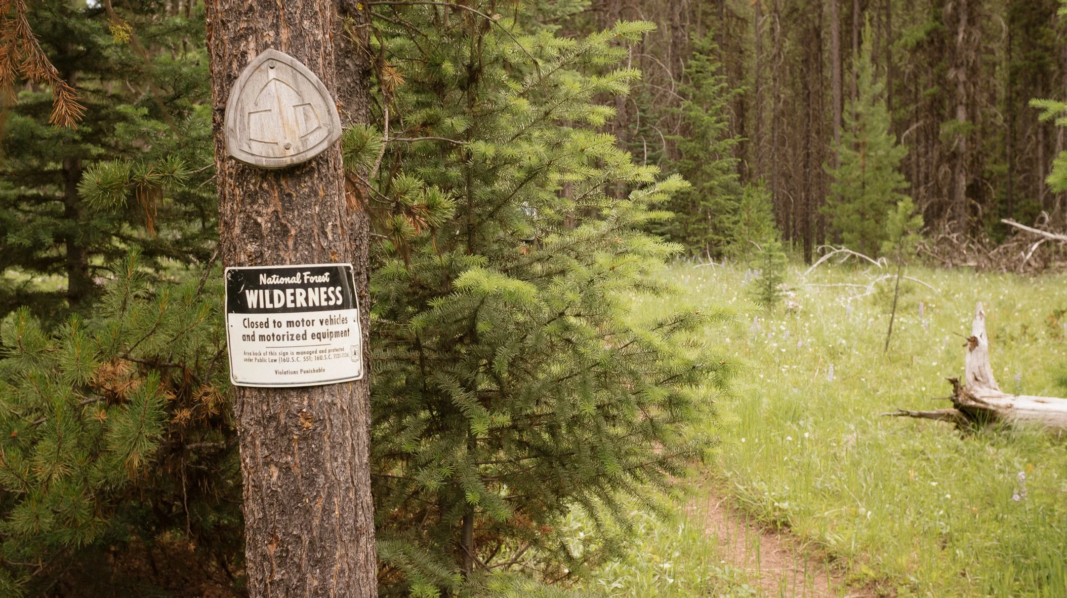
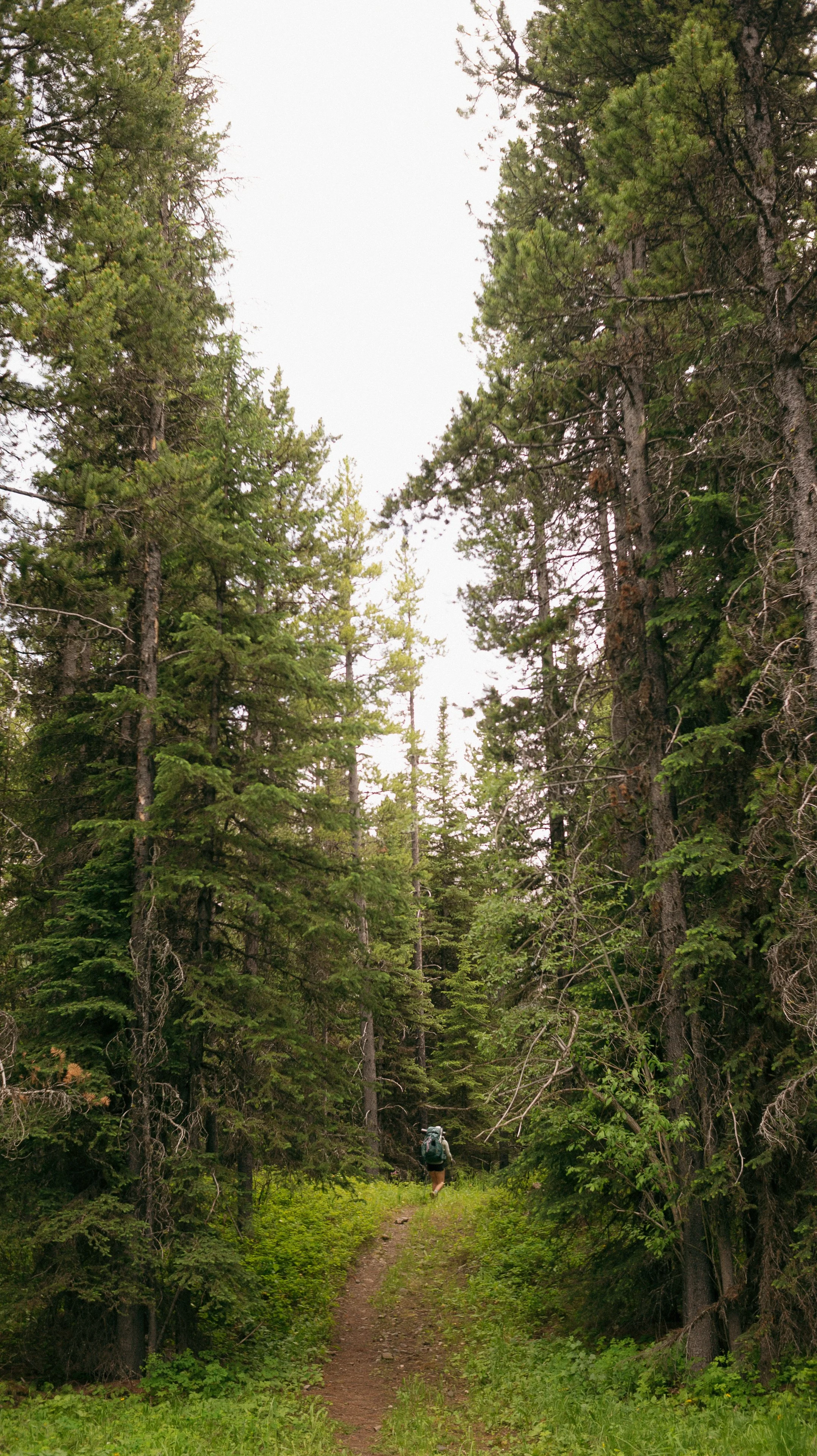
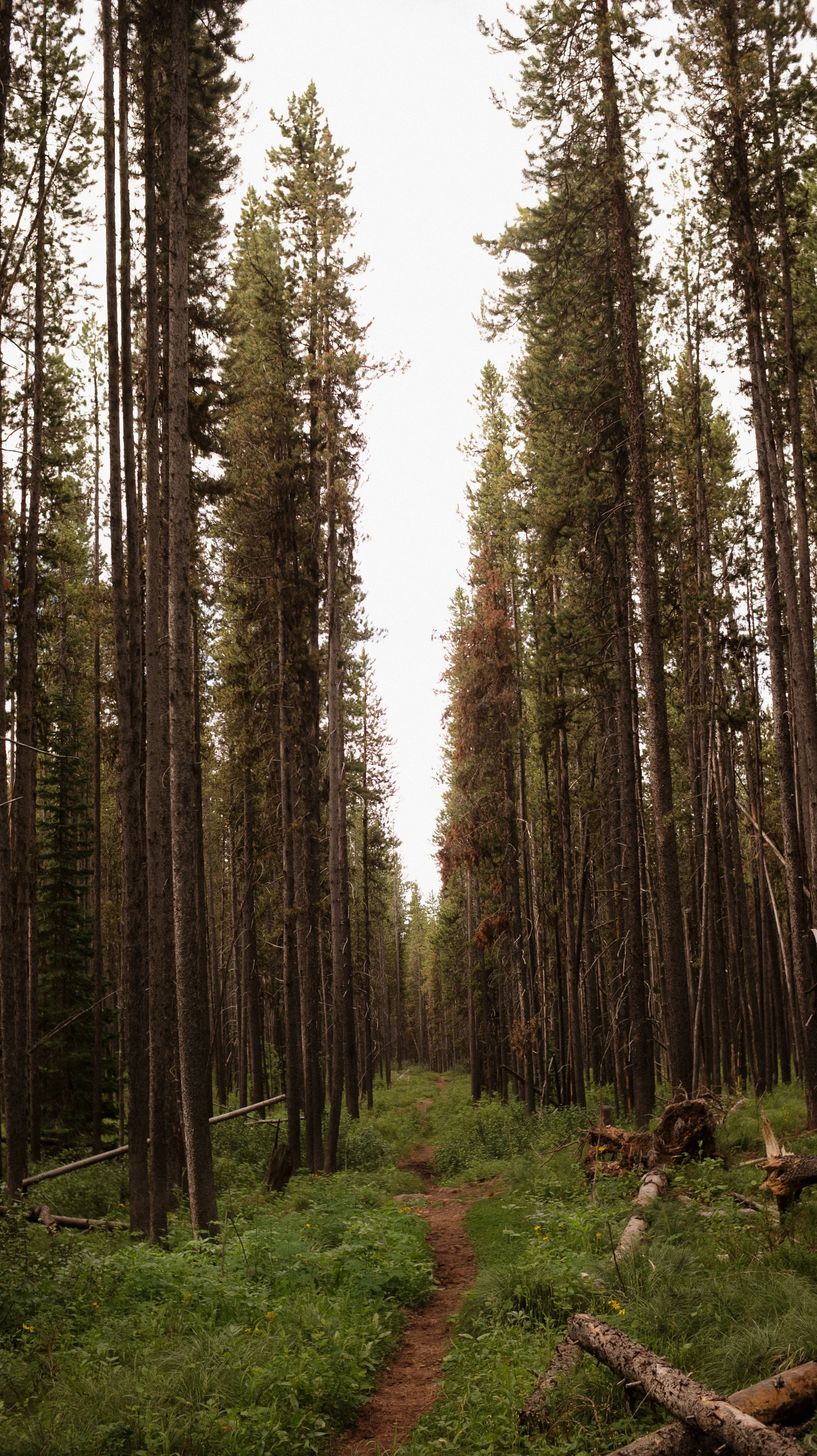
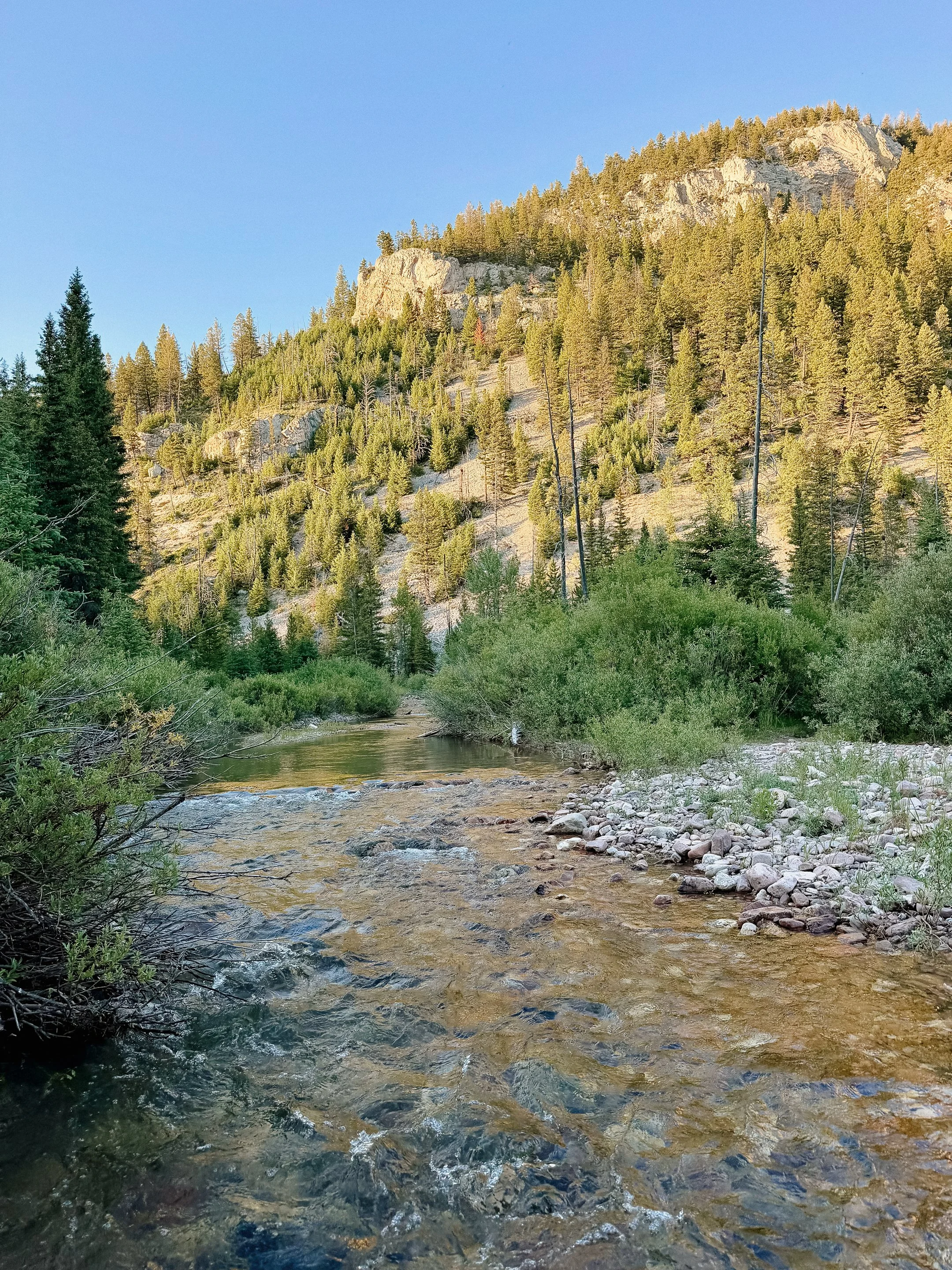
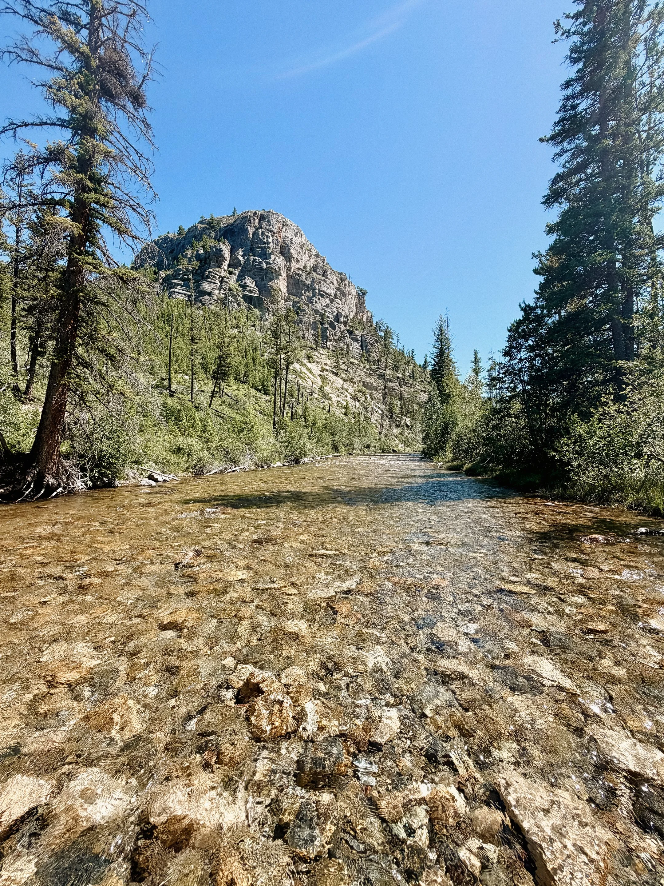
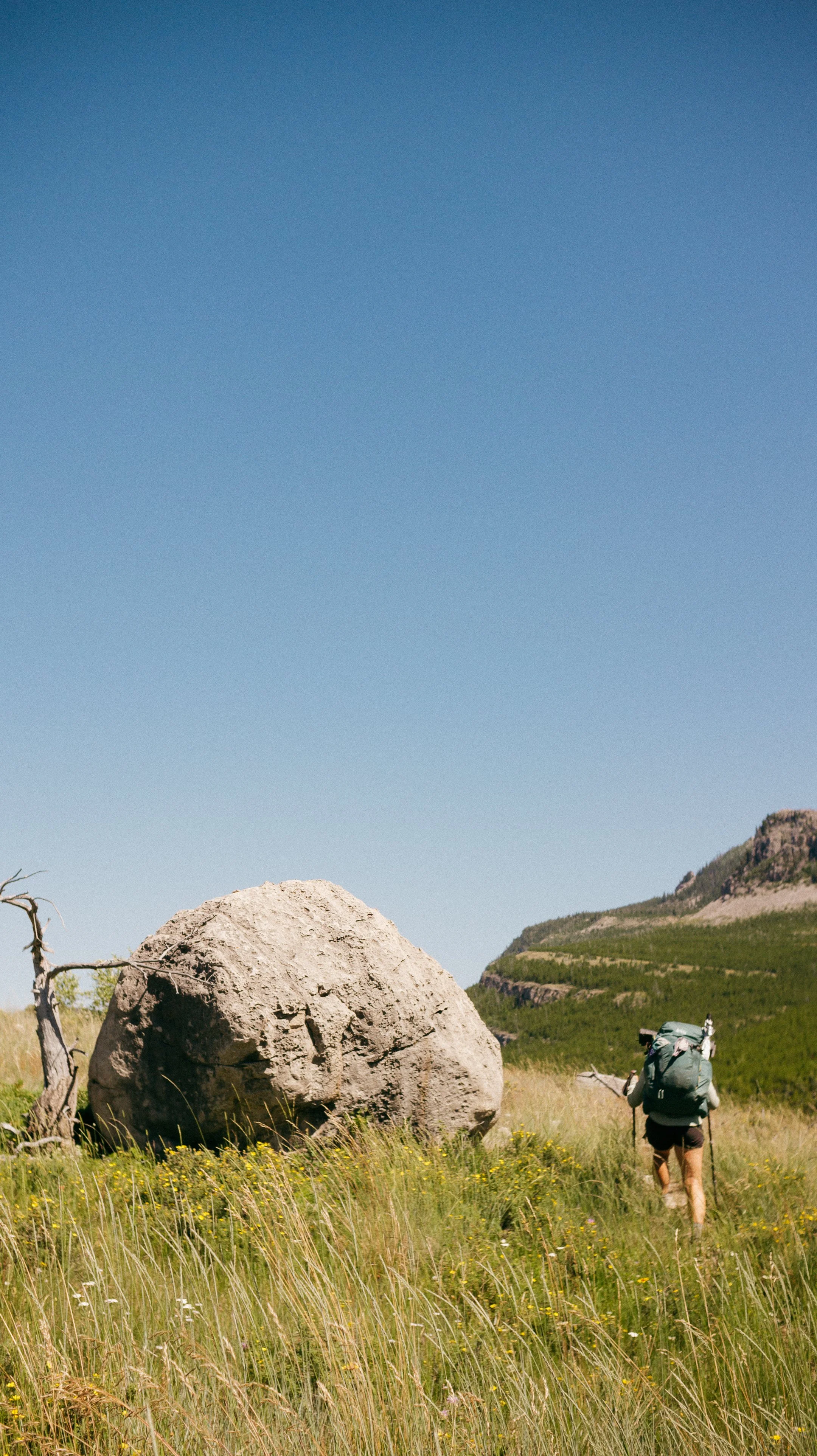
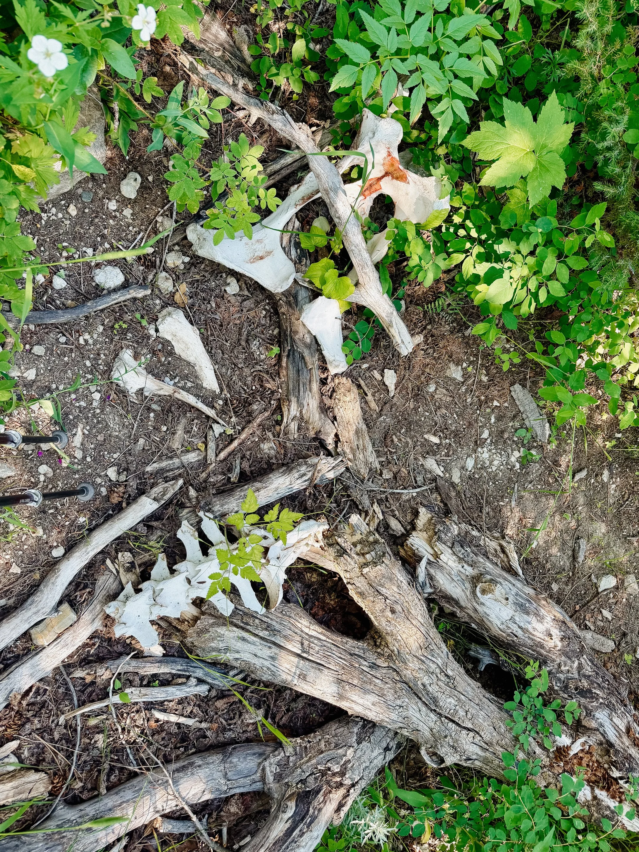
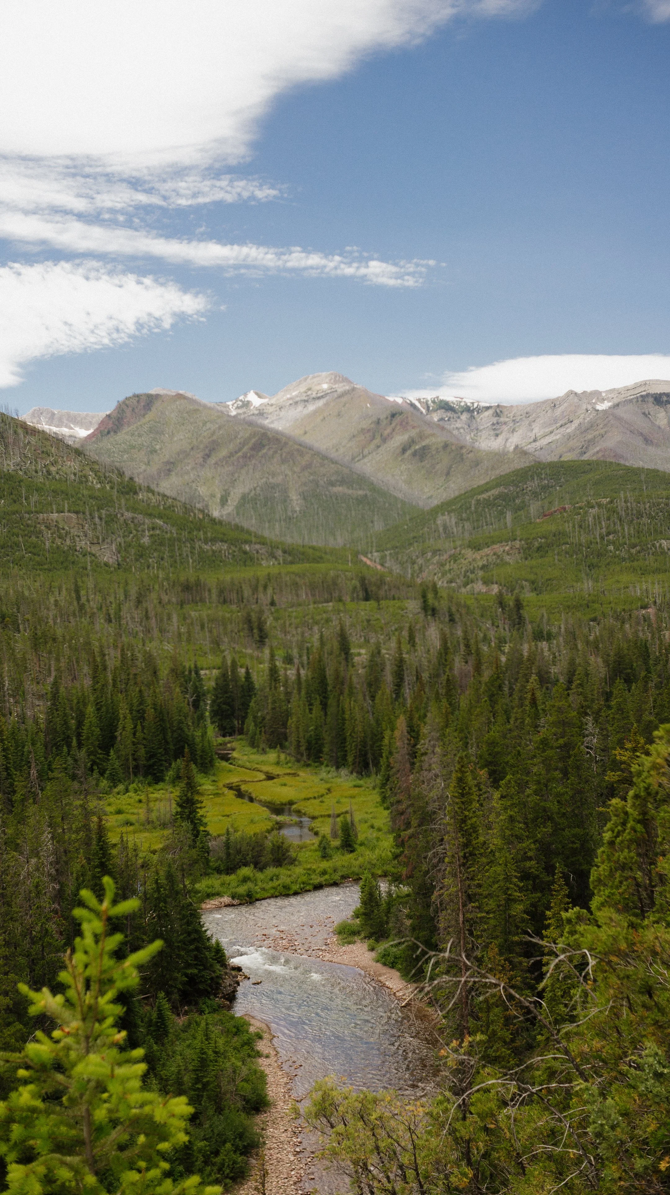
This section brought me through the Bob Marshall Wilderness which is known for being one of the most remote sections of the trail. It has the highest density of grizzly bears in the lower 48 states in addition to many other obstacles including water crossings and tree blowdowns.
OVERVIEWTOTAL DAYS9
FULL HIKING DAYS7
zeroes1
neroes1
TOTAL ELEVATION GAIN21,190 ft
TOTAL ELEVATION LOSS20,696 ft
MILES COVERED162.1 miles
-
Surviving the infamous Bob Marshall Wilderness!
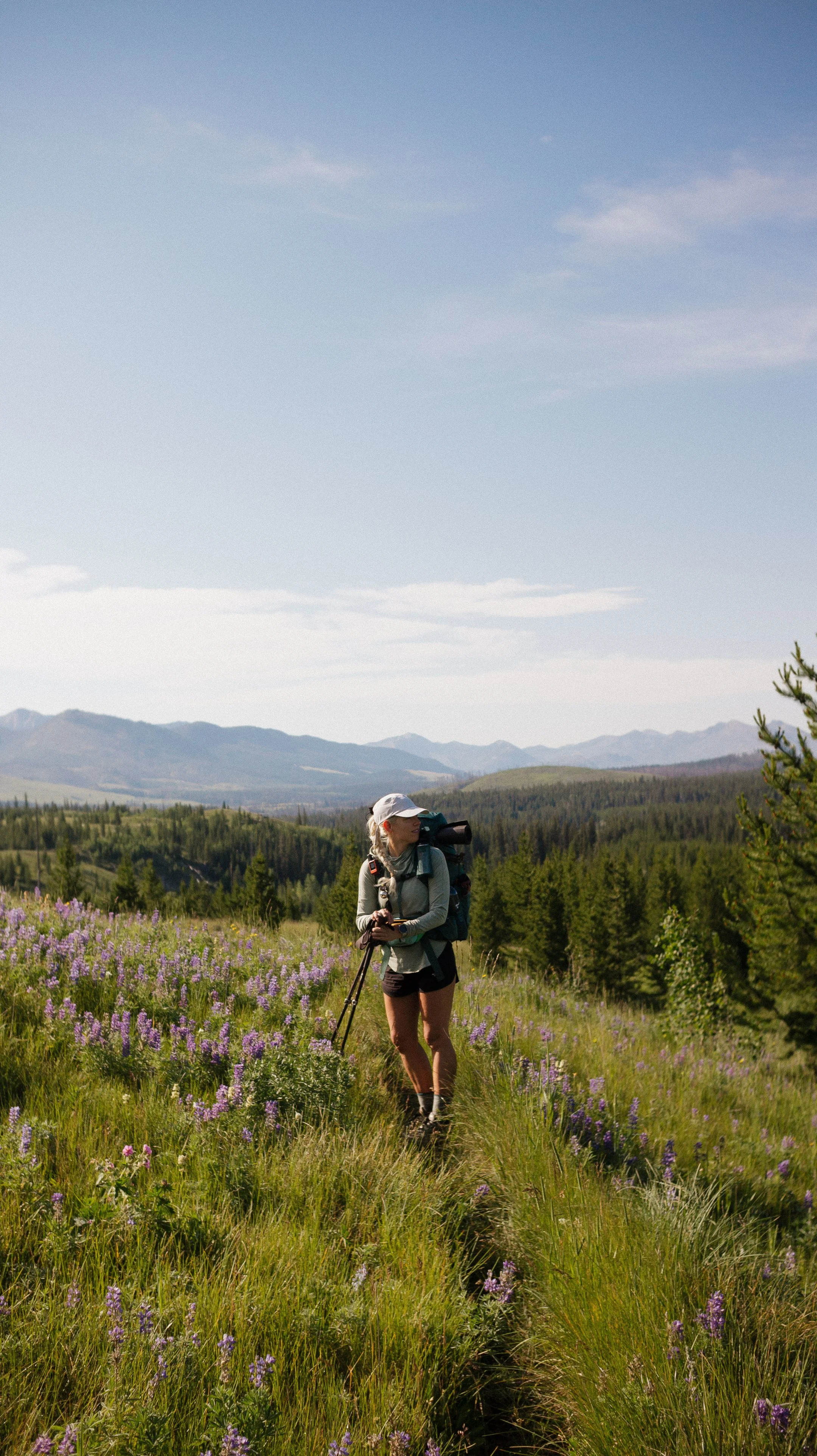
Being around a bubble of SOBO hikers in a remote location gave some comfort.
Arriving in Lincoln, Montana in one piece.
Celebrating the 4th of July at Lunas Looking Glass Hostel.
-
Not thriving in the Bob Marshall Wilderness.
The heat, blowdowns, bugs, and more for 8 straight days.
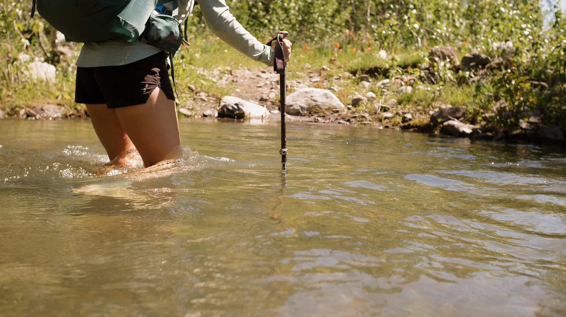
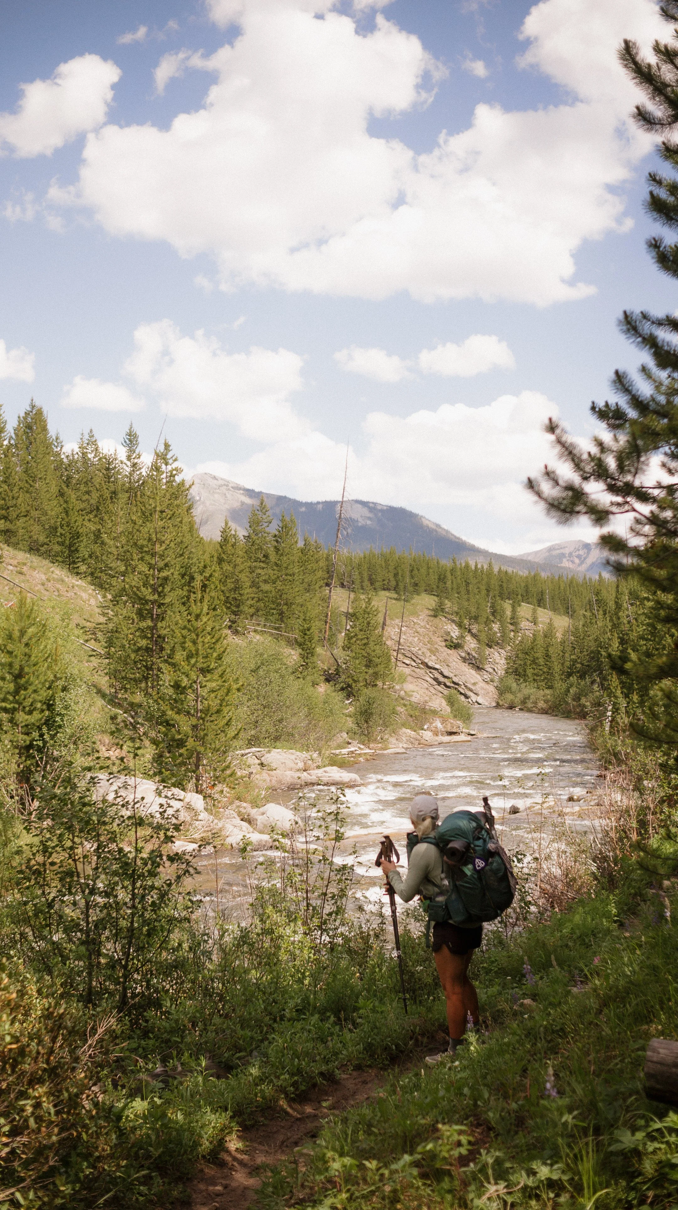
River crossings
In Depth
-
Sleep: Camp at Looking Glass Hostel, East Glacier
Miles: 0
Elevation Gain: 0
Elevation Loss: 0
Weather: Sun, Warm
Overall Day Sentiment: Thankful for a zero day!
After a tough week in Glacier National Park and it being the 4th of July, I decided on a zero day. This meant no hiking at all! I went out to breakfast and spent most of the day at the beautiful lodge in East Glacier. After doing some writing and catching up, I headed back to the hostel.
Luna and Will, the owners of the hostel, were making a delicious dinner for all the hikers which created a great sense of community. Most of my time was spent chatting with other hikers, which made the time fly. Any remaining part of the day was spent completing my resupply and preparing to enter the Bob Marshall Wilderness the following day.
I was asleep before the fireworks and then was subsequently woken up by them.
-
Sleep: Camp at Mile 139.4
Miles: 19.6
Elevation Gain: 2055 ft
Elevation Loss: 1368 ft
Weather: Hot, Sun
Overall Day Sentiment: Rough start to the Bob.
The day had finally come, it was time to leave the Looking Glass hostel for good. There were no more loops or slack packs to being me back to this heavenly place. George and I set off into the unknown and waited for a hitch back to Marias Pass. We ended up getting a ride from Brandon, a local, that seemingly gave everyone rides that day! Thankful for kind trail angels in the area.
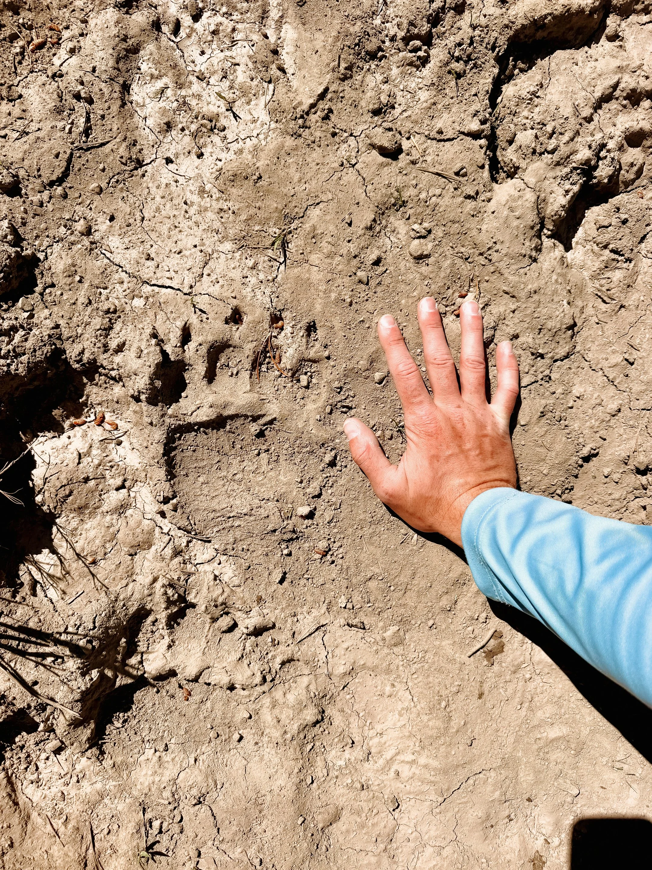
This was the official beginning to the Bob Marshall Wilderness. It is known for being a tough section (tree blowdowns, climbs, heat, high river crossings) with a long food carry. I had eight days of food with me which lead to an insanely heavy pack. This place is also known to have the highest density of grizzly bears in the contiguous United States. After my grizzly encounter in Glacier National Park, this prospect did not excite me.
Alternates through this section are normal. The tree blowdowns are so bad, the Forest Service suggests them. On this day, I took the Elk Calf alternate and the North Badger alternate. Both saved me an insane amount of time, energy, and frustration. There were still tree blowdowns to climb over but significantly reduced.
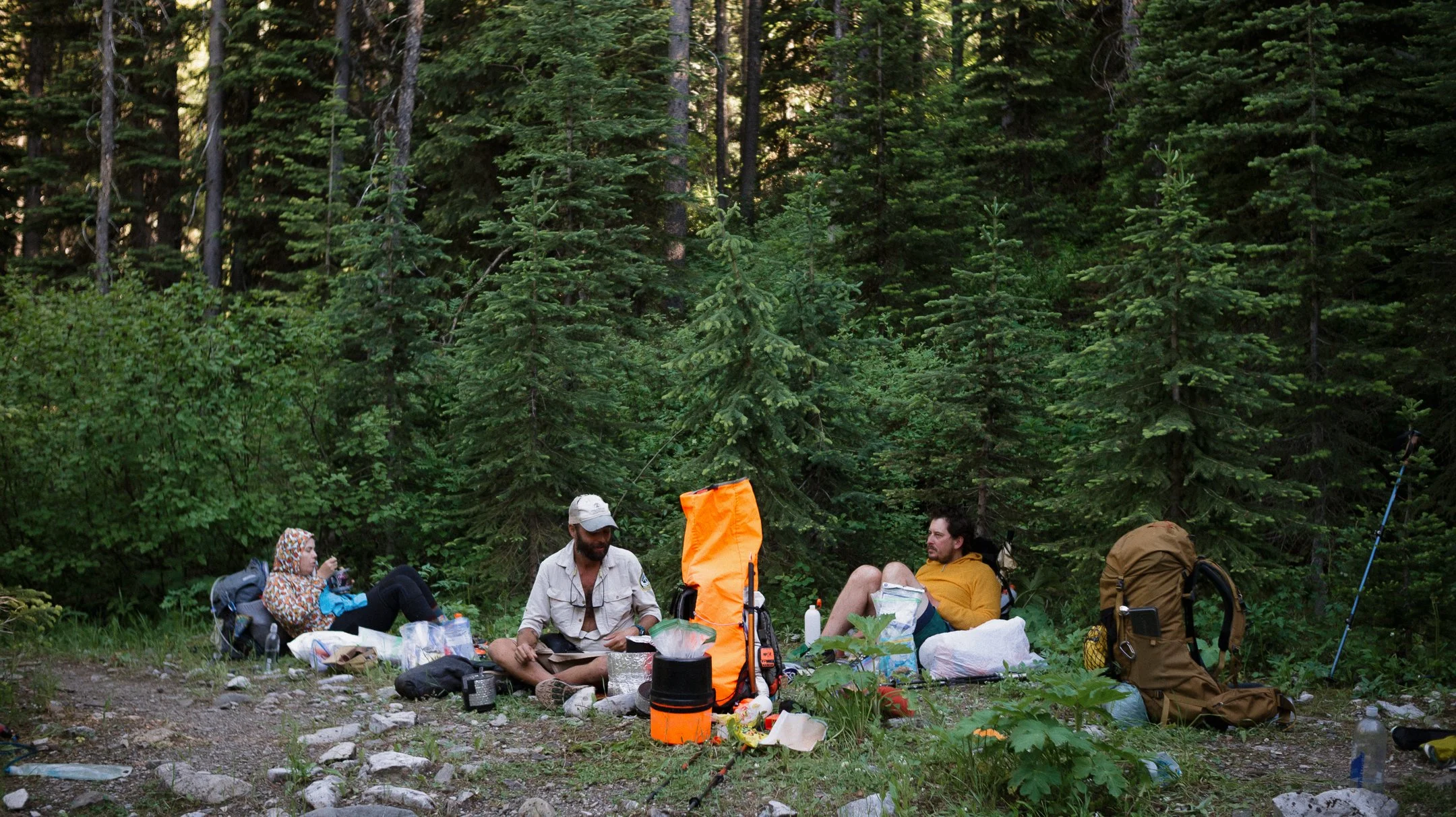
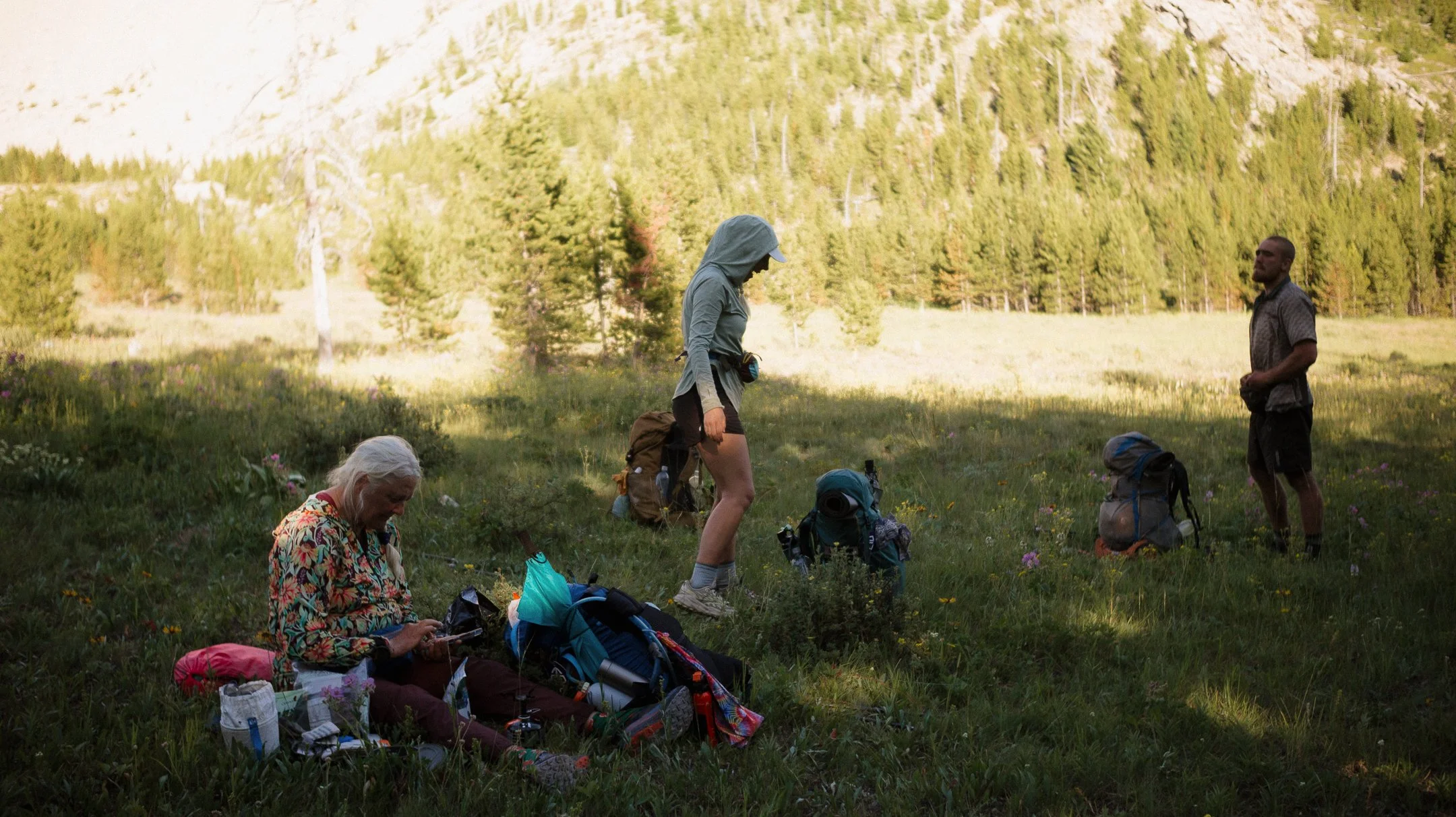
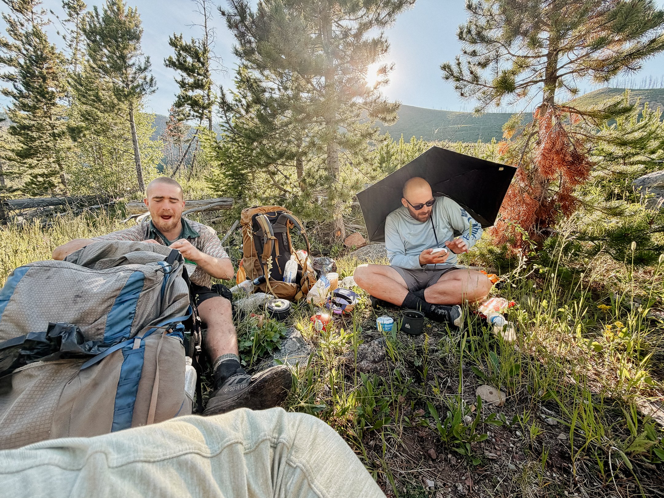
Gila Monster, Dimps, Blondie, Numbers, and Freeflow all were in the same area as George and I so we ran into them throughout the day. We all had dinner together (also Splinter!) about a mile before camp - a good grizzly bear practice.
The large group of us camped together as well!
-
Sleep: Camp at Mile 162.3
Miles: 23.1
Elevation Gain: 2614 ft
Elevation Loss: 2965 ft
Weather: Sun
Overall Day Sentiment: Days can be average out here too
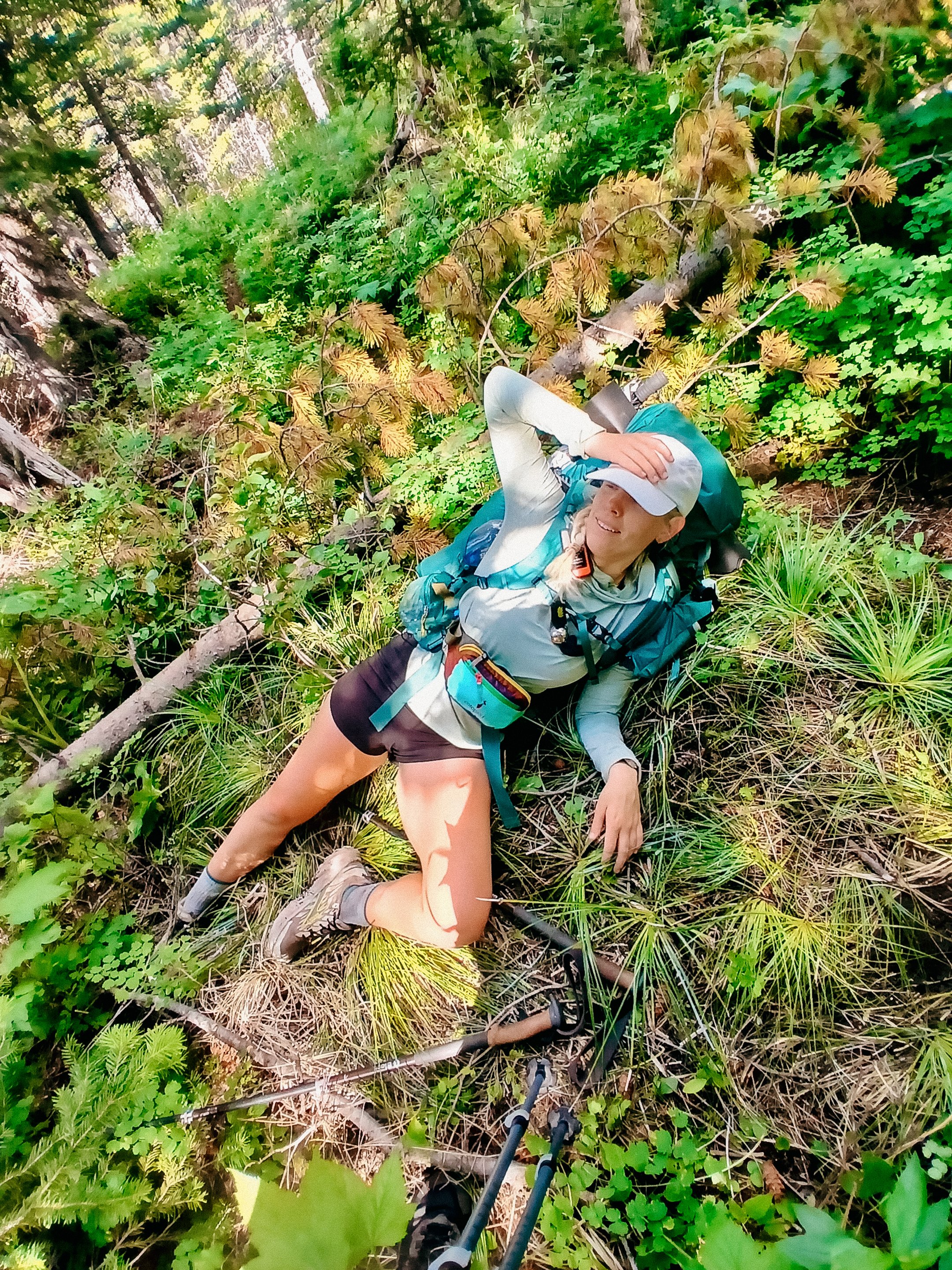
Long day, deer around tent all night, got going a little later than wanted, immediate stream crossing, plugged away, bog alternative on accident, bushwhacking, ran into group, burn section, more blow downs, good relaxing spot, decided to go on, more blowdowns, cross wide river after chatting with numbers, camped just on other side
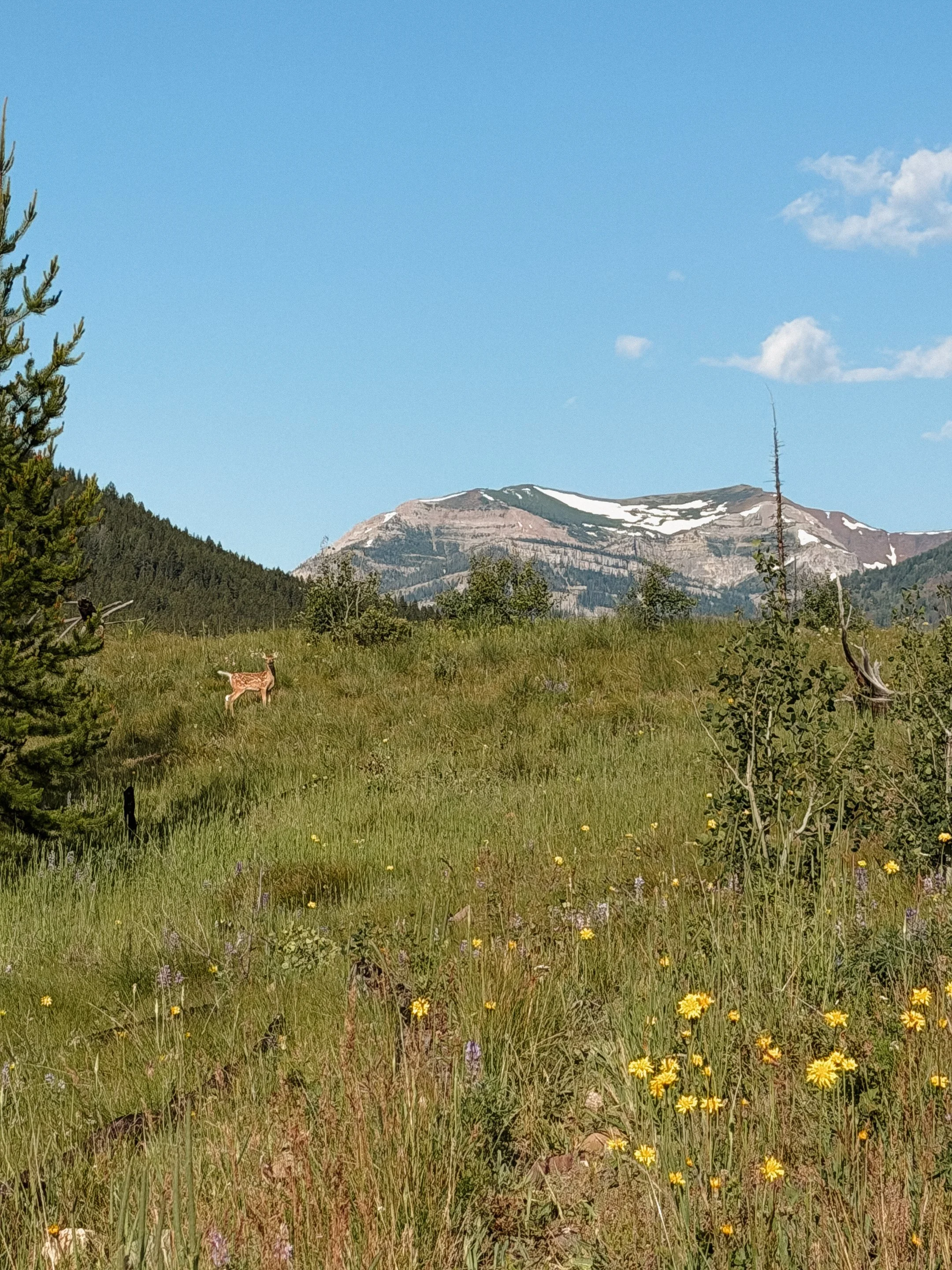
It was sincerely chilly when I finally woke up after sleeping poorly the night prior. Brave deer were digging around my tent all night which is what I get for peeing near my tent.
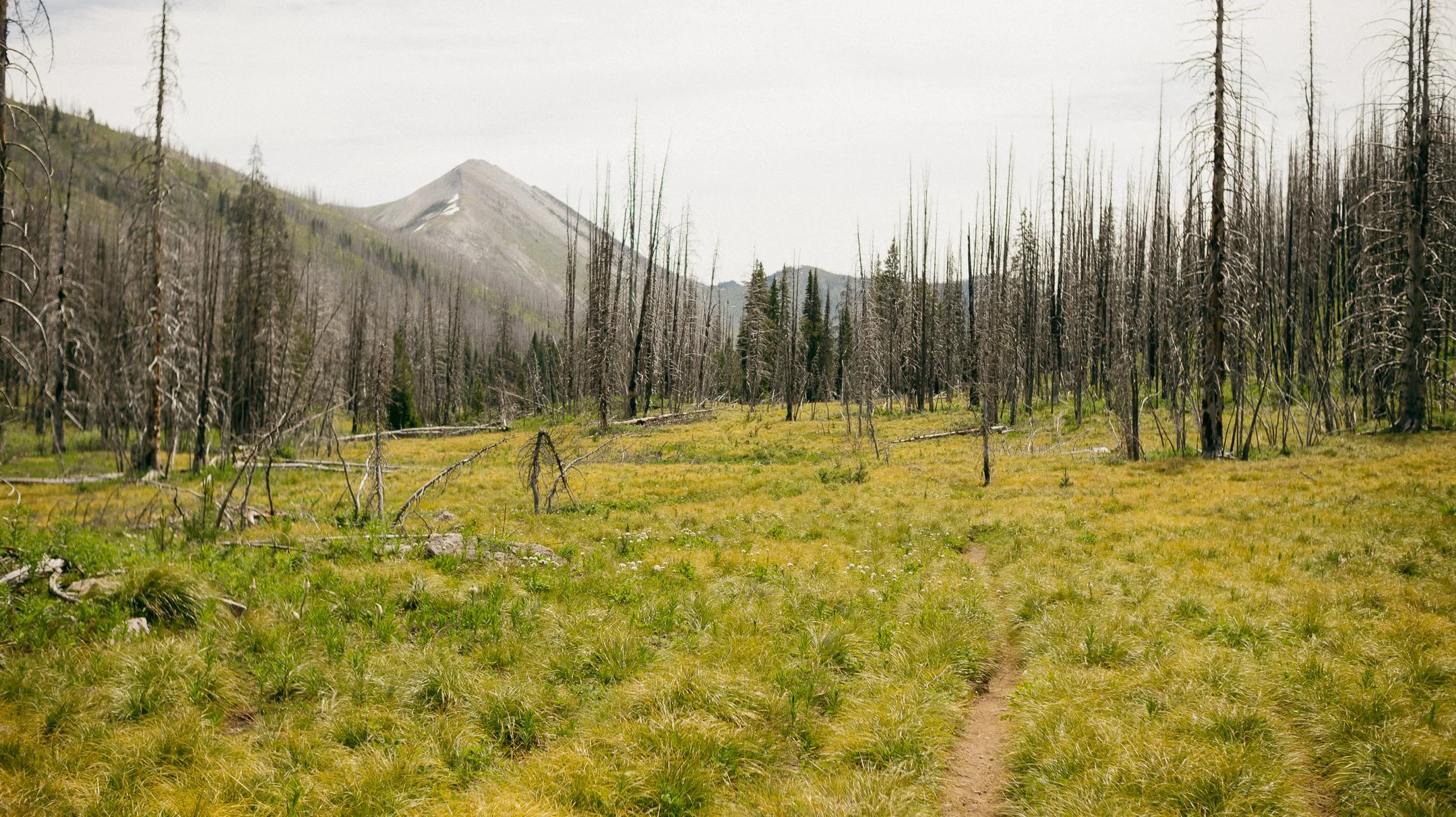
We got a late start, but so did a lot of the other folks in the group. First few miles went quickly, but we ran into a lot of small river crossings, blowdowns, actual bogs, and other obstacles. There was one area that was in fact called the “bog alternative” which I accidentally took. This also then lead to a crazy bushwhack - which may be one of my least favorite things.
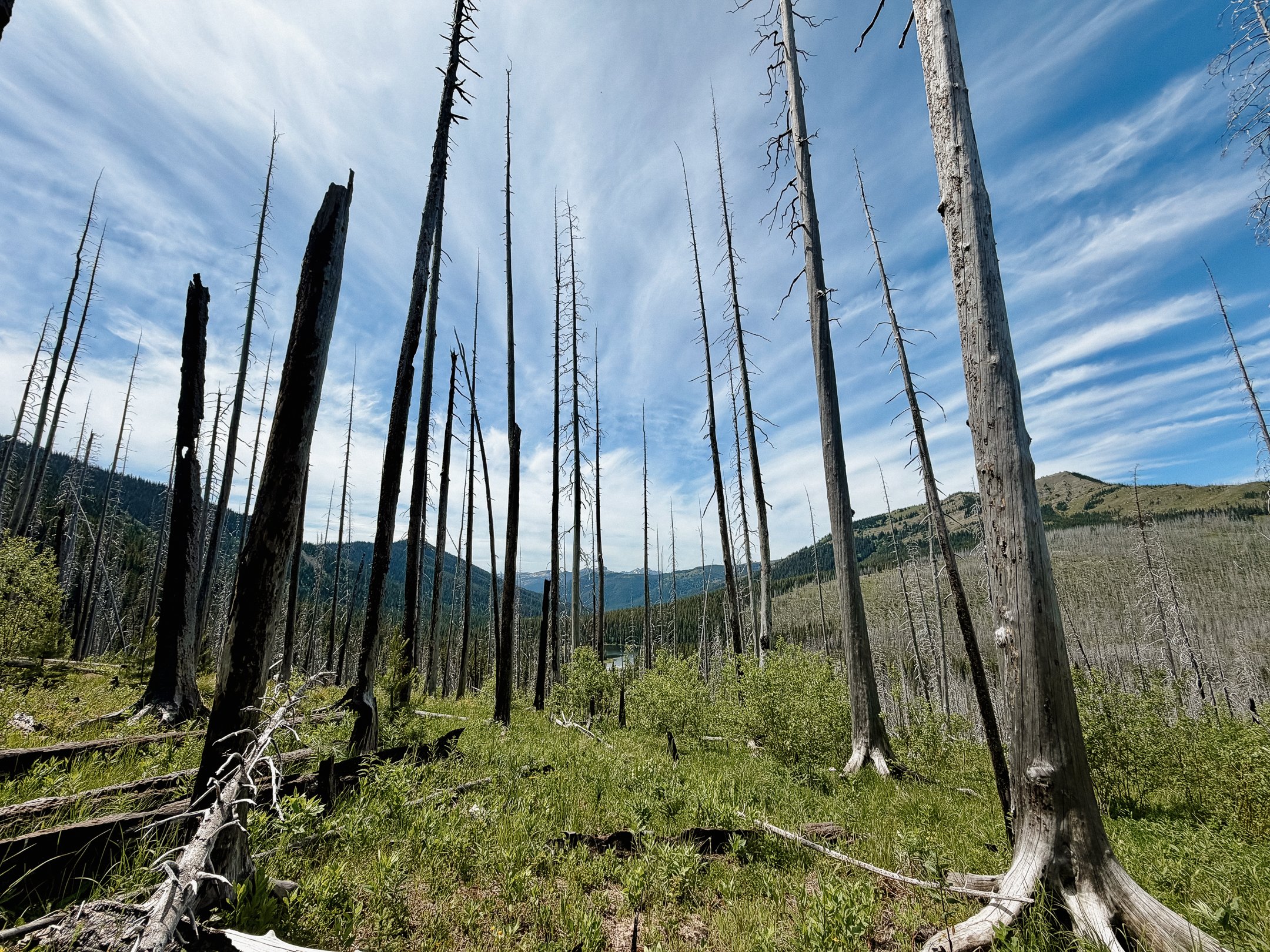
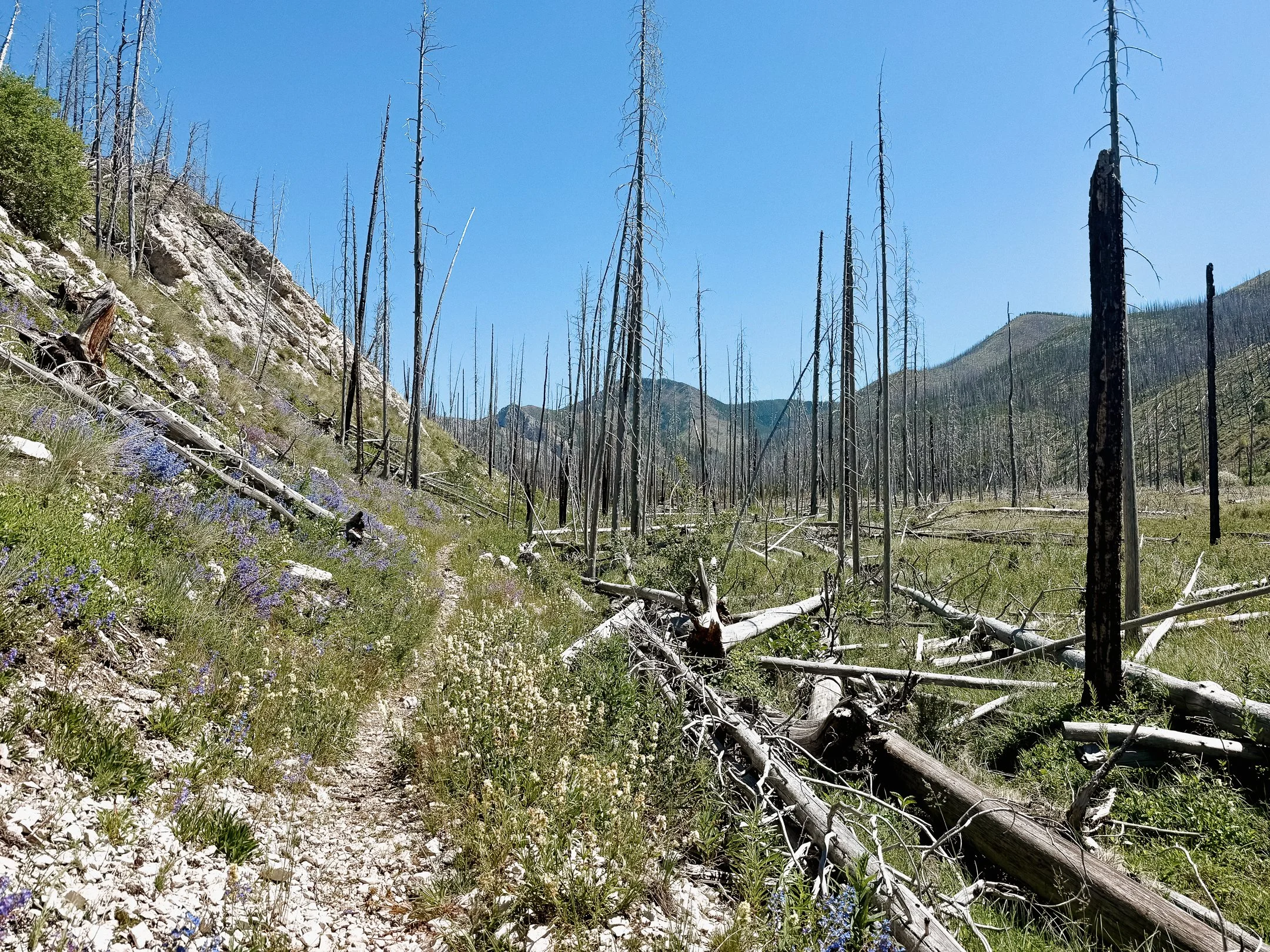
A lot of the afternoon was spent in a burn zone that had a strange amount of water, for which I was thankful. We ran into everyone again throughout the day; even a tempting long break with FreeFlow, Blondie, and Dimps. I almost camped there but I pushed on.
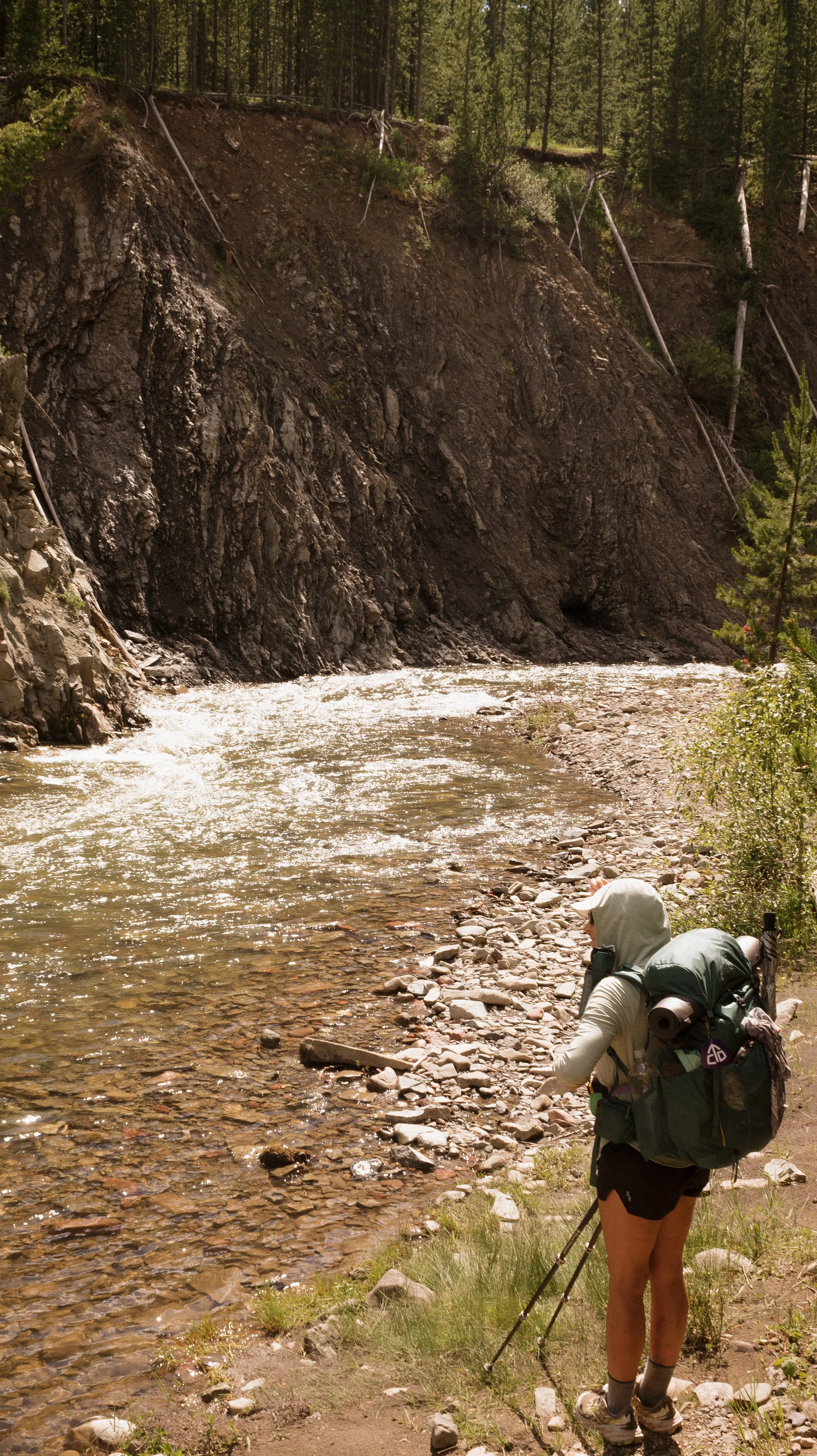
More than 2 miles of blowdowns wrapped up the day with a 75 foot wide river crossing. I set up my tent shortly after the river crossing at sunset. Absolutely tuckered out.
-
Sleep: Camp on North Fork Sun Alternate
Miles: 20.0
Elevation Gain: 2201 ft
Elevation Loss: 2211 ft
Weather: Rain, Sun, Hot
Overall Day Sentiment: Blowdowns…
It is never a good feeling when the alarm goes off with the accompanied by the pitter patter of rain. The motivation gets pushed away immediately; packing up a wet tent AND dealing with wet food bags that have been in a tree? Not a good start.
I persisted and set out for the day once the rain subsided. Soon George and I ran in Gila Monster who had been camping only a bit ahead of us. We then ran into Iron, the first northbound hiker of the season! He is slated to complete the hike in 100 days. After the year I had on the Appalachian Trail in 2025, I know how hard that is.
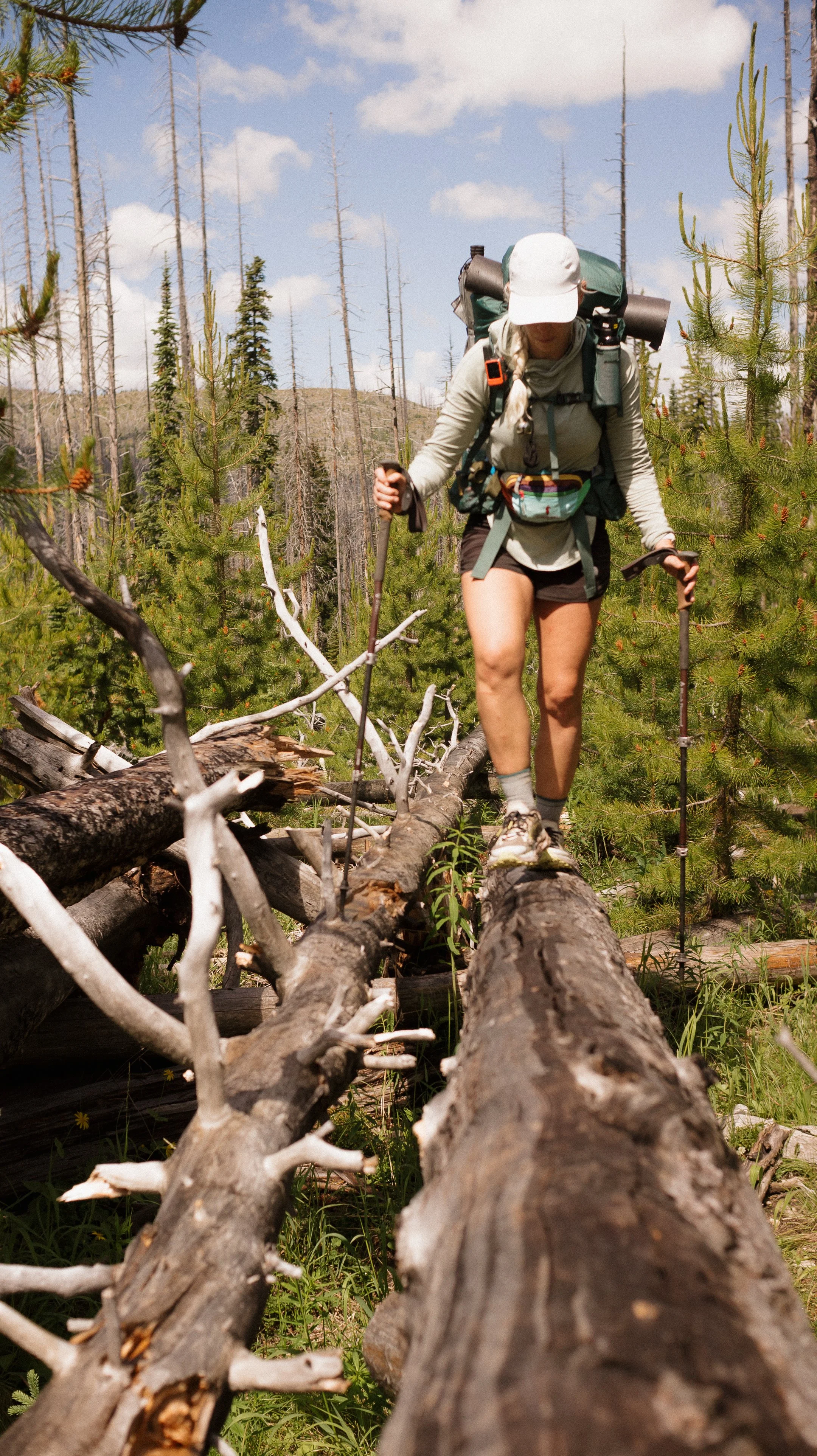
Today was predicted to be a tough day. Several miles of tree blowdowns had been reported and I was never going to really be ready.
The section began earlier than I thought and lasted past when I thought as well. It was a jungle gym of tangled dead trees. Some had obviously been there for years as the actual trail had grown over with grass. I appreciate all forest service workers and it is clear this is the impact of budget cuts. After the hard blowdown section, George and I stopped for lunch. Gila came through and shared a similar disposition to us re: previous section.
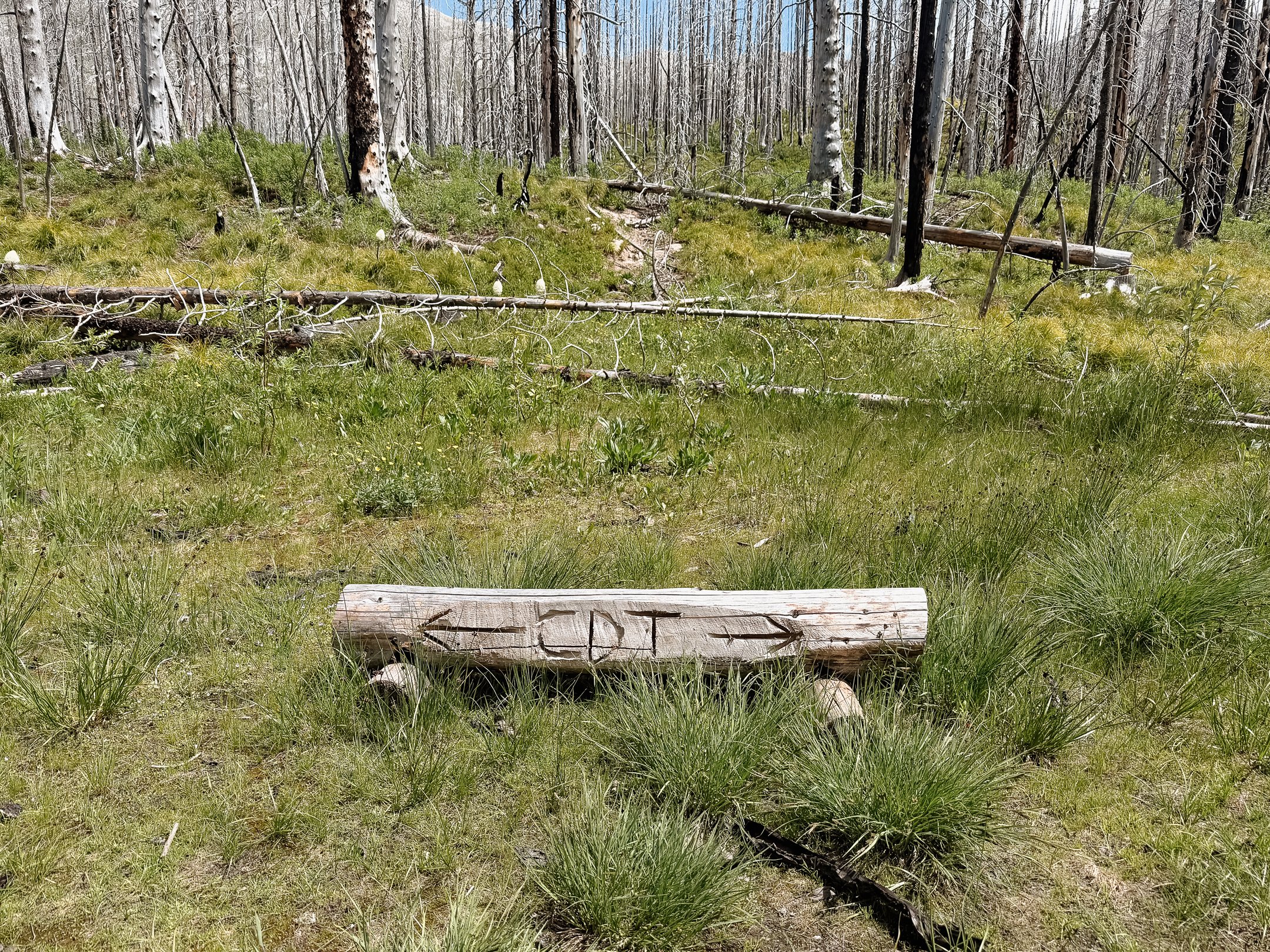
The majority of folks were stepping off of the official CDT to a Forest Service suggested alternative. The North Fork Sun River trail to the Gates-Moose connector trail to the Moose Creek trail. I opted for this because of the trail reports of terrible blow downs on the official route.
Overall the Sun River trail was much better than the disaster that was the official CDT. Eventually I bumped into a ranger station with many folks and horses around. They guided me to a flat grassy spot near a river to camp.
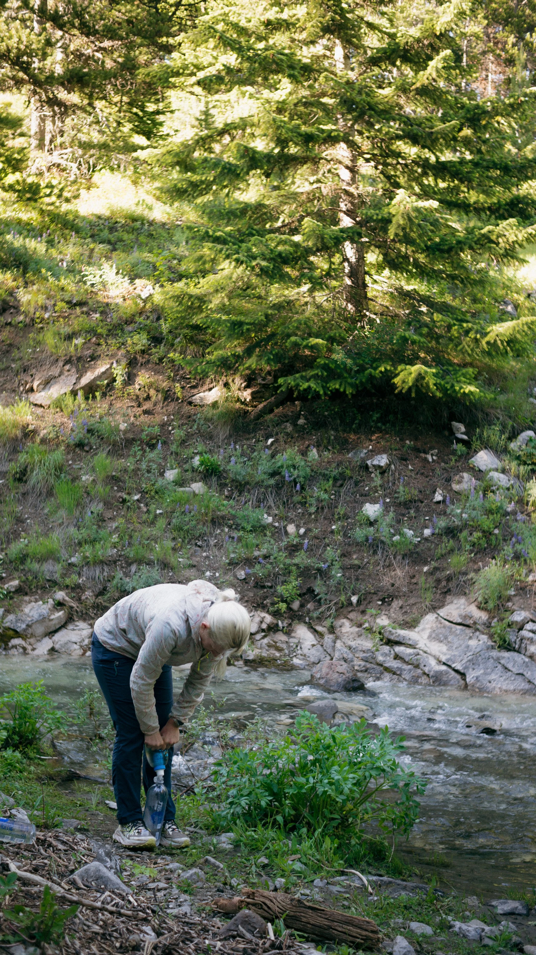
After setting up my tent, I took a river bath. At the exact moment this was happening, I heard George say, “Hi Foggy!”. While I thought he was kidding, turns out he was not. I quickly got dressed and had a lovely evening with Foggy joining us. We made a plan for the next several days together!
-
Sleep: Camp at Mile 217.1
Miles: 23.1
Elevation Gain: 4011 ft
Elevation Loss: 2934 ft
Weather: Sun, Hot, Bugs
Overall Day Sentiment: The Chinese Wall!
I woke up to droplets of water dripping on me. The grassy field I had set up my tent in lead to much condensation overnight. As I wiped the inside walls, I hated how it rained inside.
George, Foggy, and me left our site and headed back towards the Gates-Moose connector trail. We heard that within this five-ish mile stretch that there were roughly two miles of tree blowdowns. After the day we had had prior, this was not a fun prospect.
We three arrived at the blowdowns and they were in fact, a jungle gym. To add some more spice to the experience, the mosquitoes absolutely swarmed. I was hiking in my bug head net and still getting eaten alive. For some reason I didn’t think the bugs would be bad so I didn’t bring any spray… big mistake.
Eventually we hit the Moose Creek Trail which was supposedly clear of tree blowdowns. The sun was beating at this point in the day which made the burn scar feel all the more intense. There were a few blowdowns but nothing that we had not seen before.
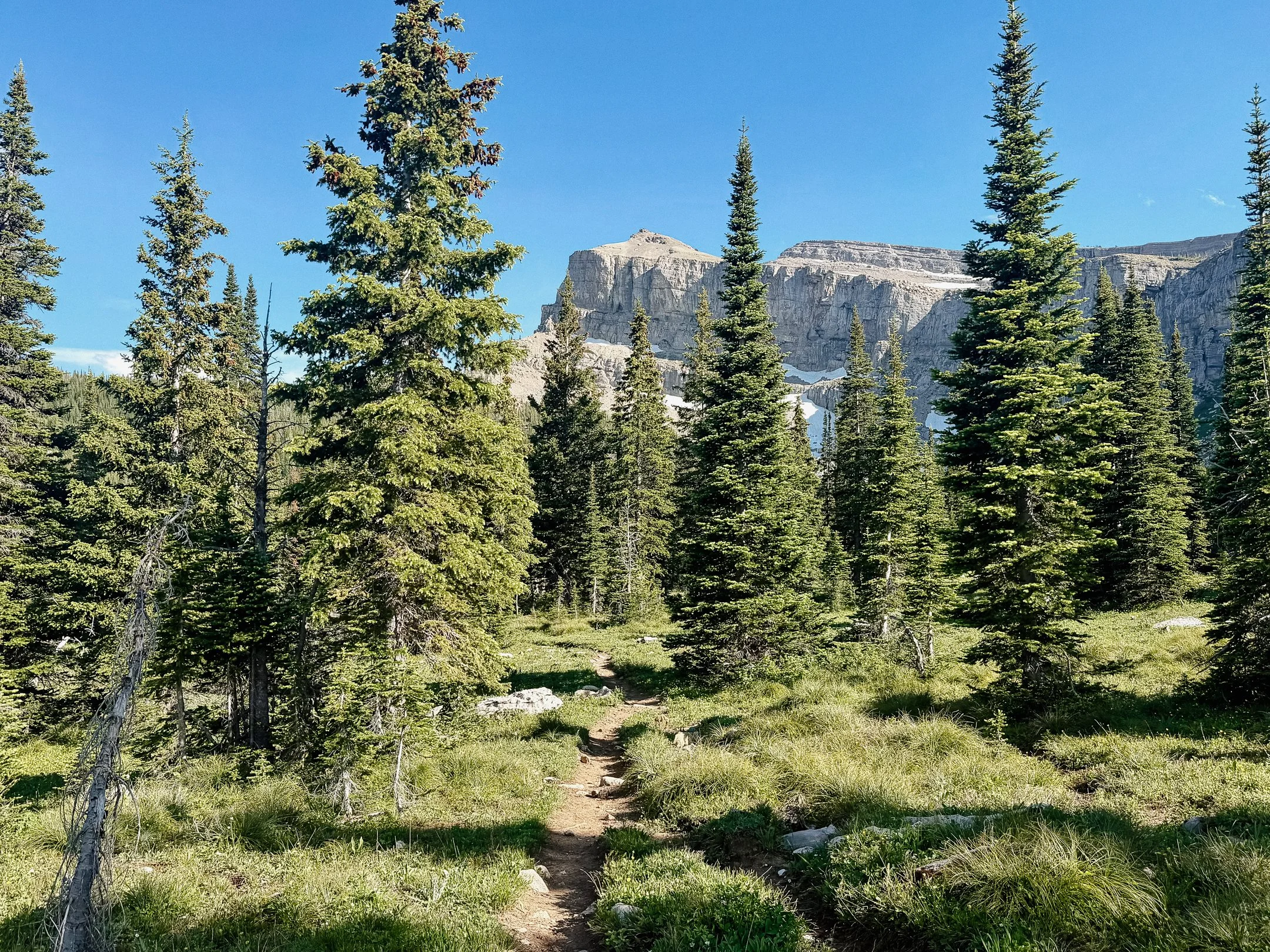
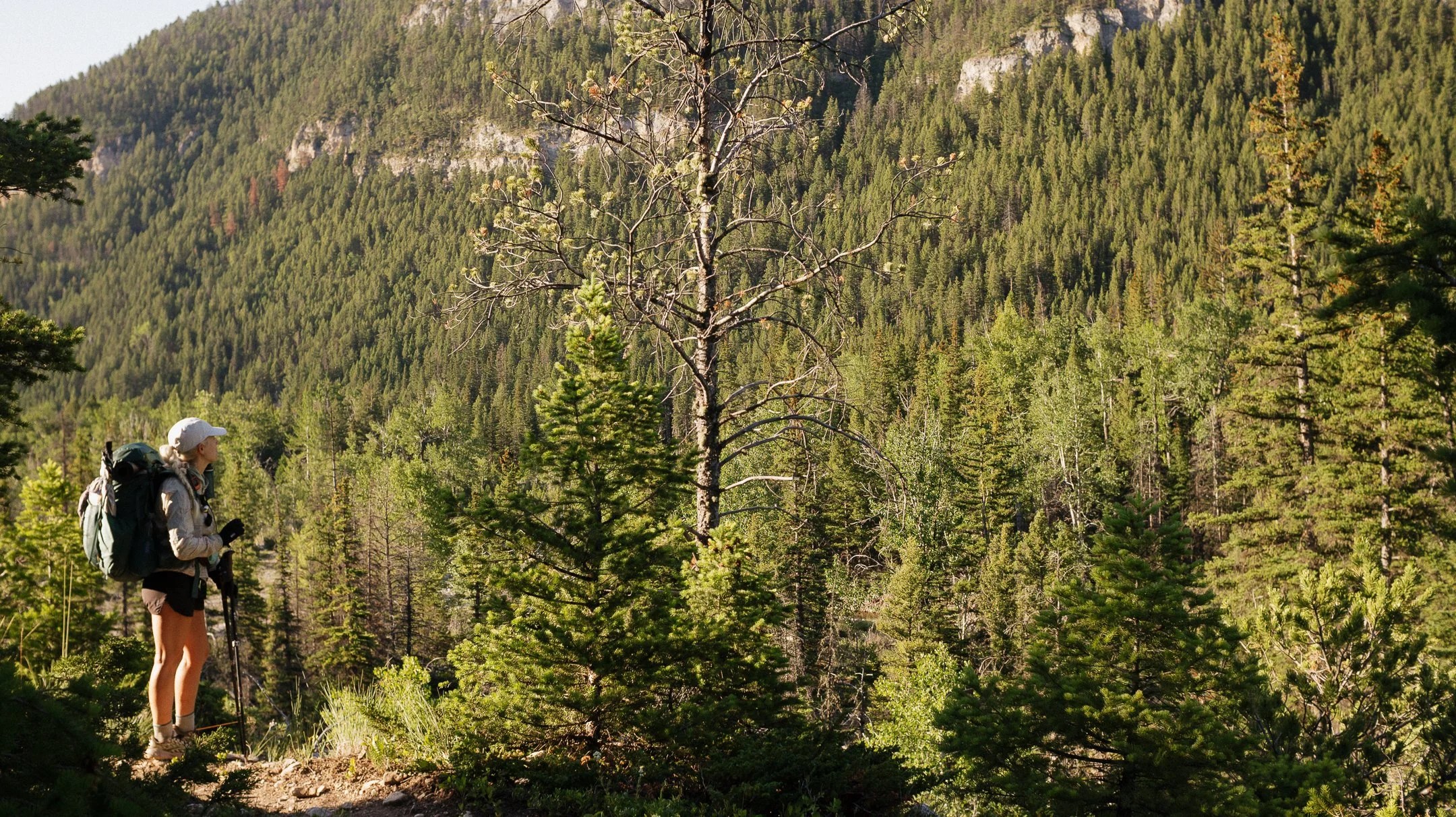
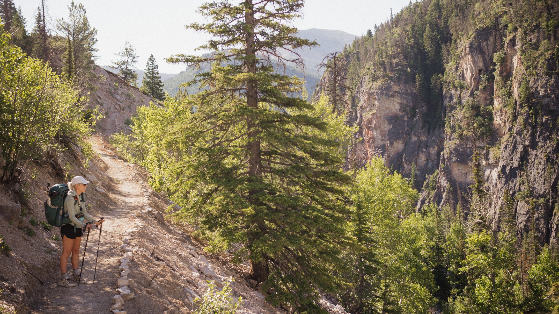
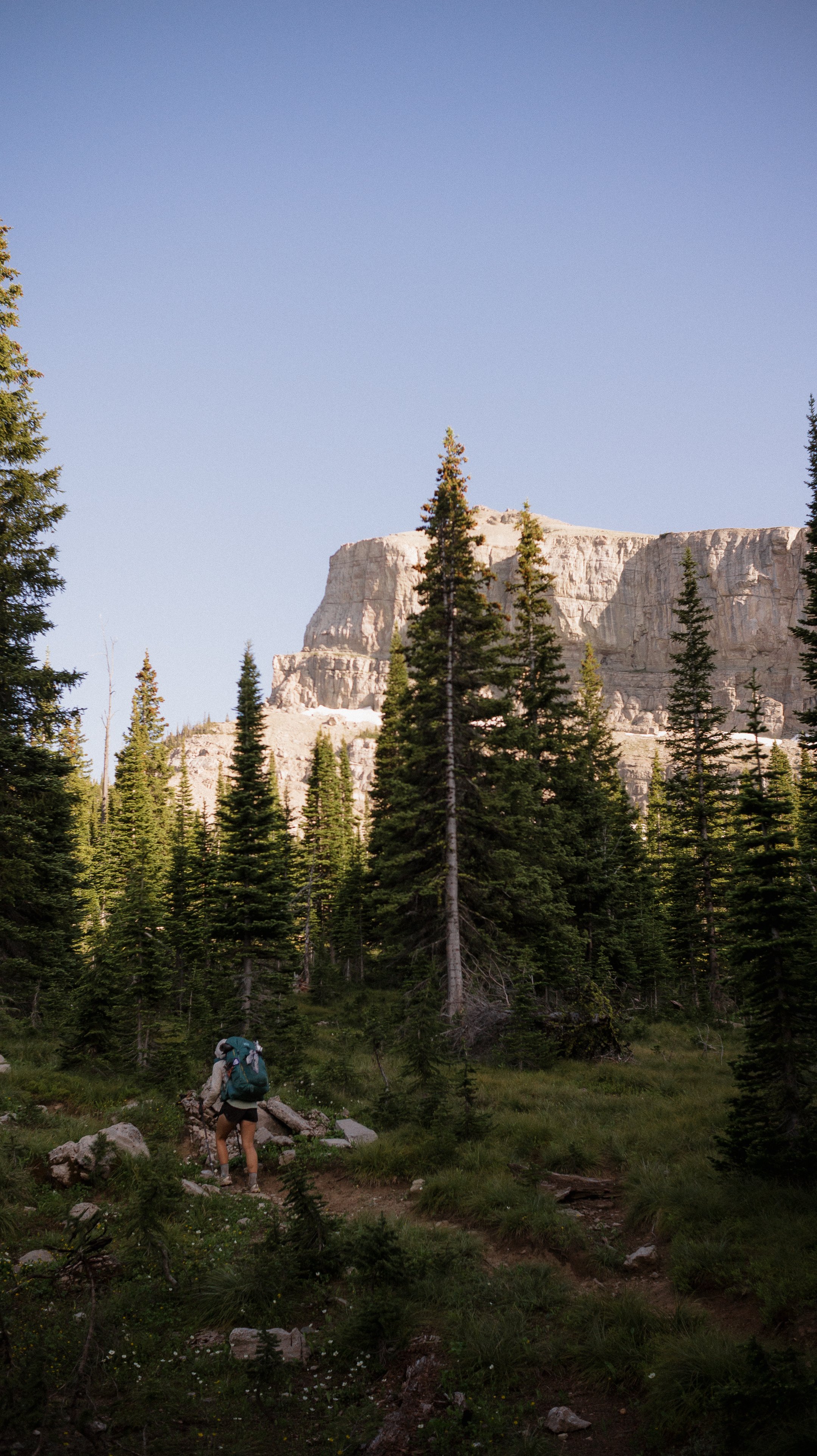
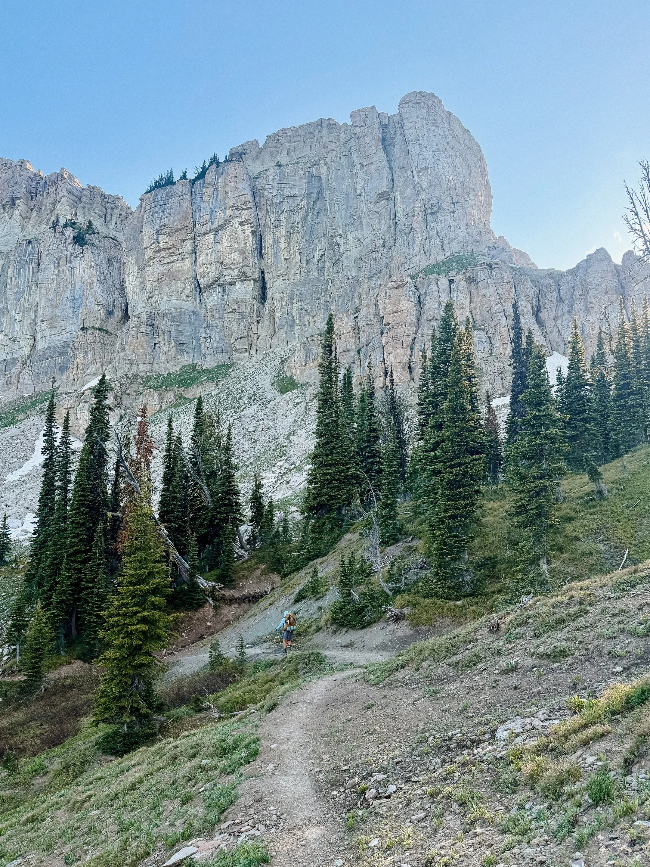
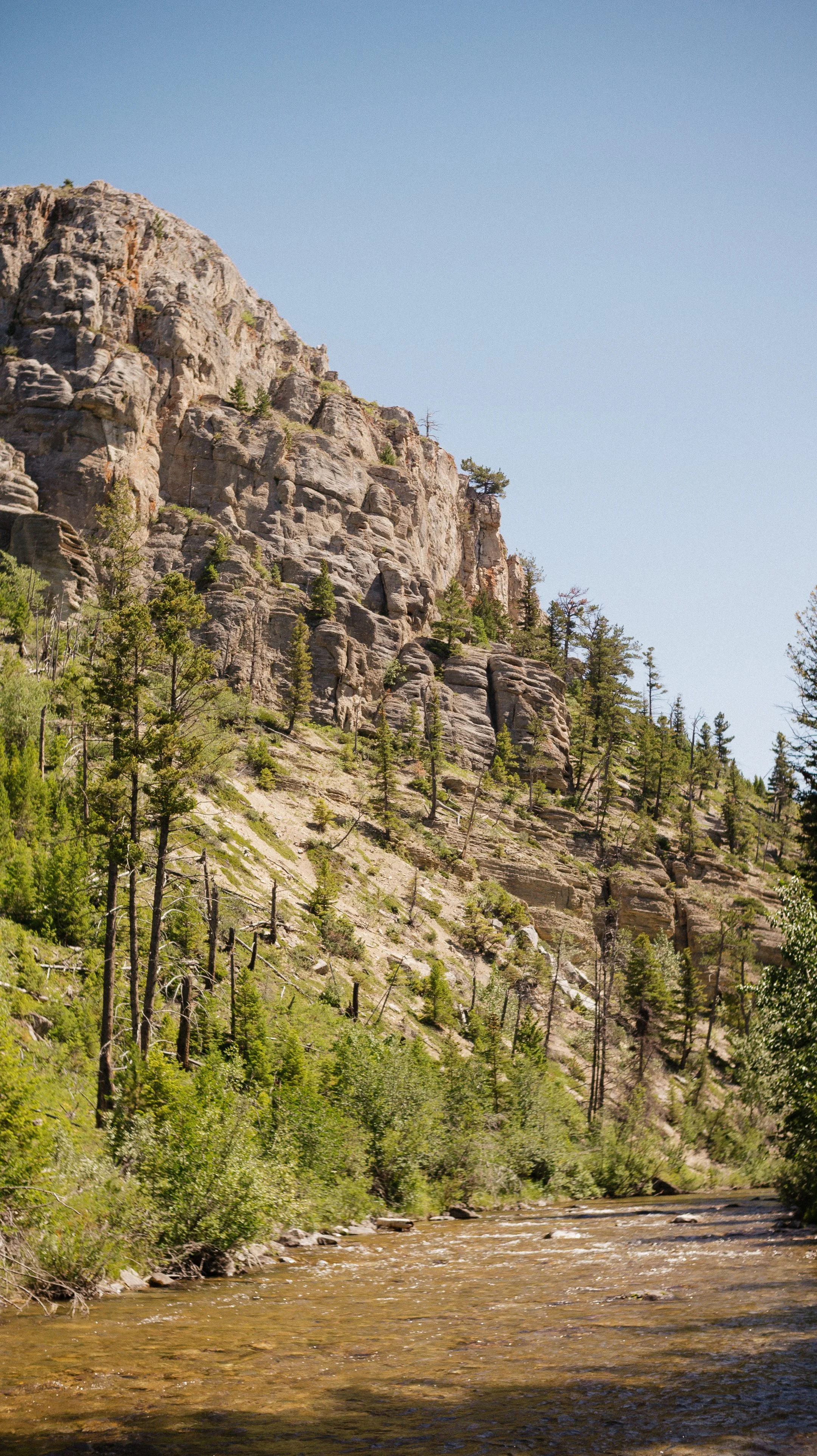
The Moose Creek trail was overall beautiful. There were many day and weekend hikers out on the trail to see the popular Chinese Wall geological feature. This is a several mile long wall that resembles the human made Great Wall of China. Though the climb seemed to last forever to reconnect to the CDT, it was worth it.
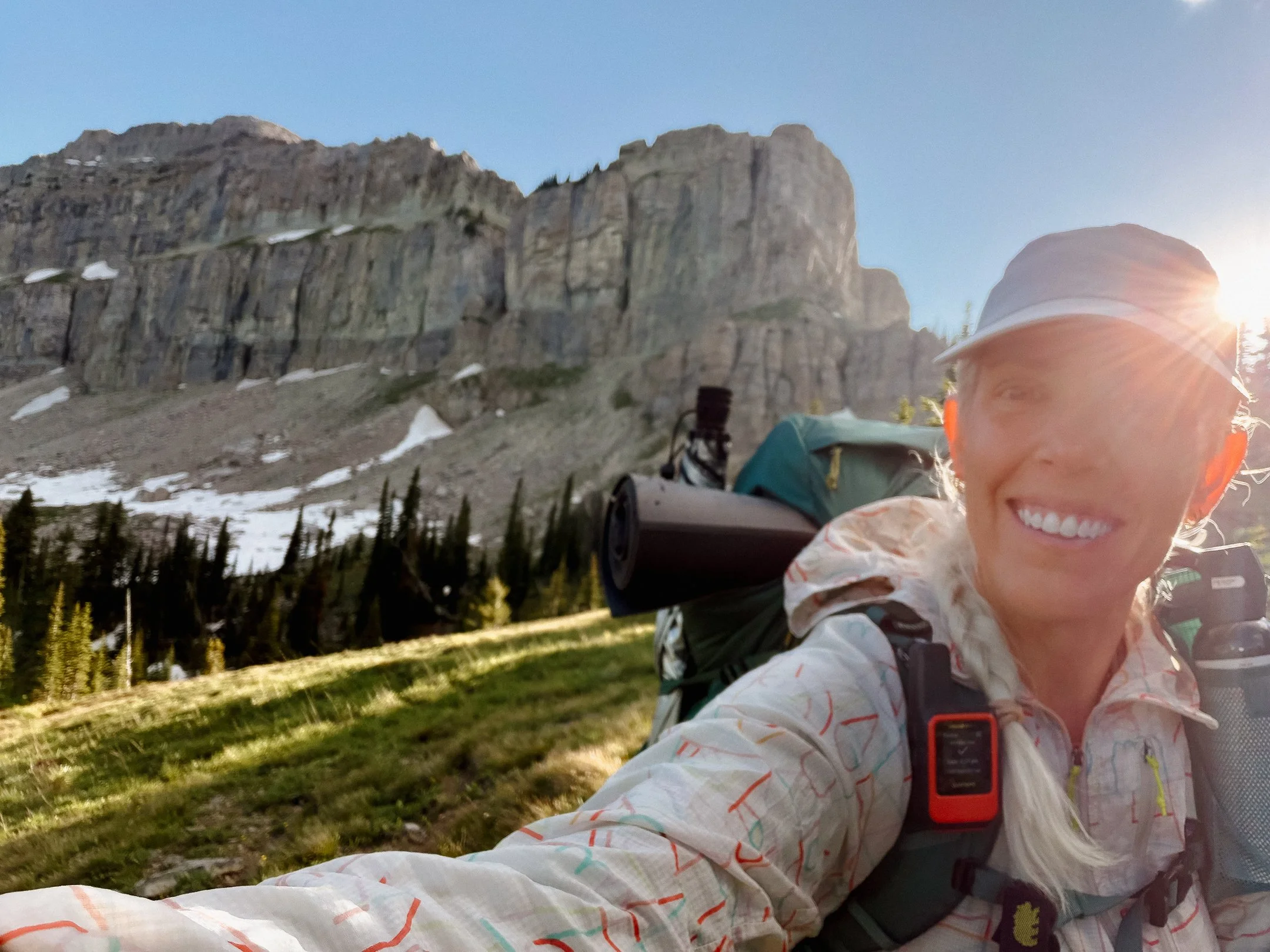
We all reached the wall as the light grew softer and it showed its hard lines even more. This would end up being our (big swarmed) dinner spot, which felt all the more special.
Four miles to go after dinner included a pass, a steep descent, and arriving at kind of a bum campsite. My tent spot was slanted but luckily there was a great creek to rinse blowdown soot off of my legs.
-
Sleep: Camp at Mile 237.7
Miles: 20.7
Elevation Gain: 1690 ft
Elevation Loss: 2362 ft
Weather: Cloudy, Sun, Warm
Overall Day Sentiment: Thankful for an easy day.
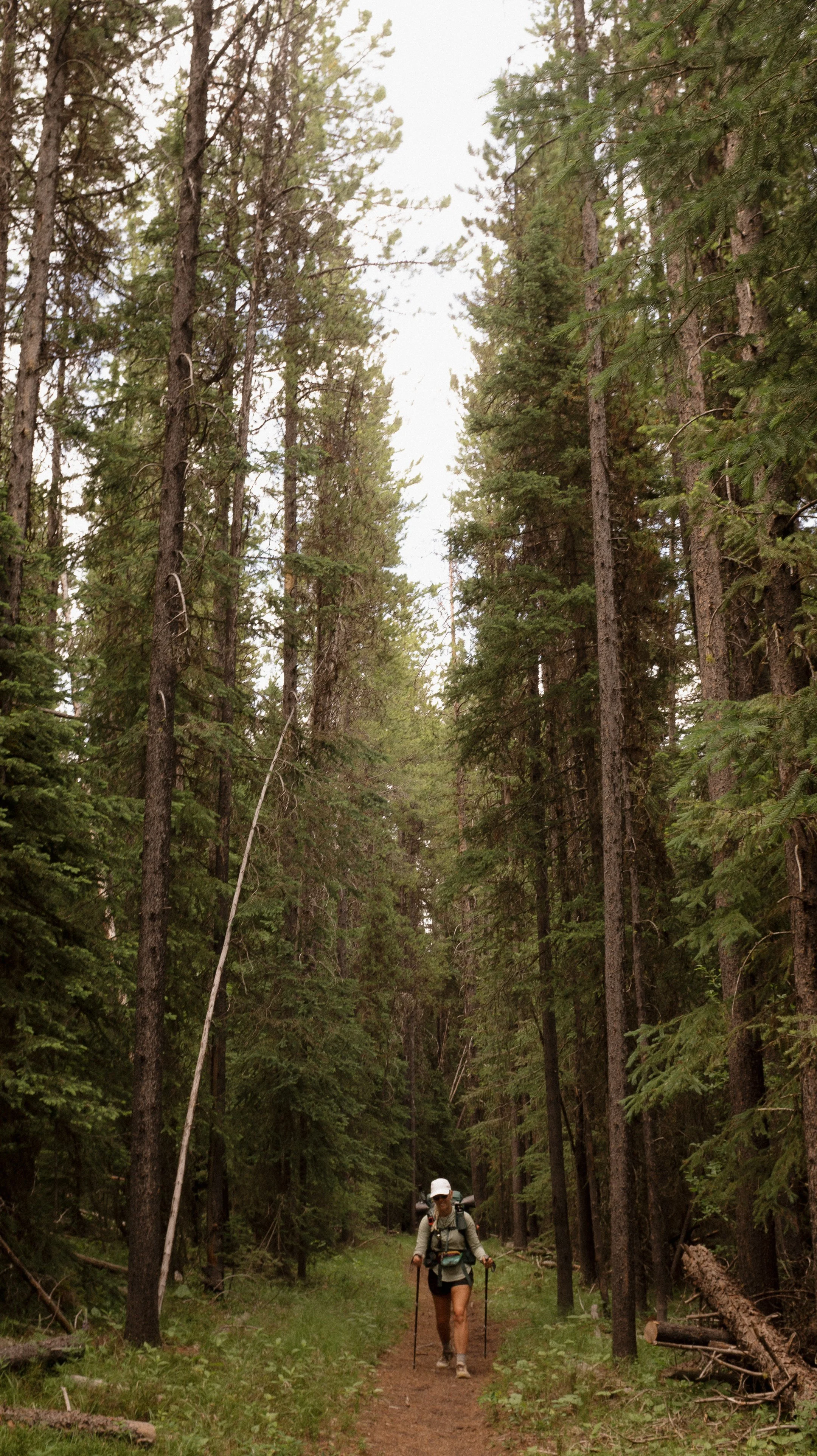
For the first time in several days, my tent and sleeping implements were dry! To make it a bit sweeter, this was an easy day. Okay mileage, flat trails, well traversed by people and horses - nothing really to complain about!
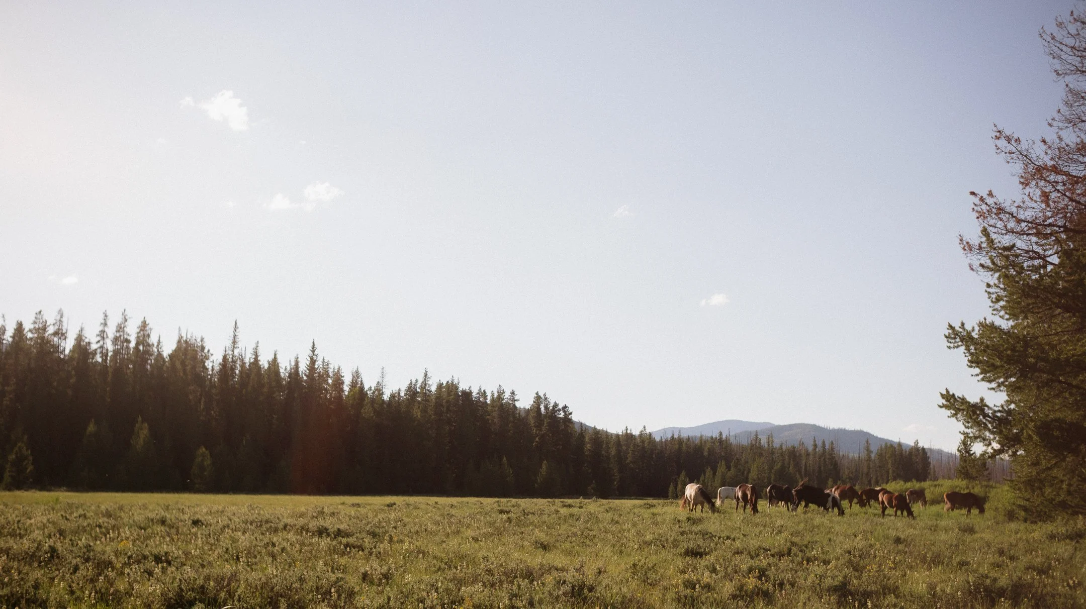
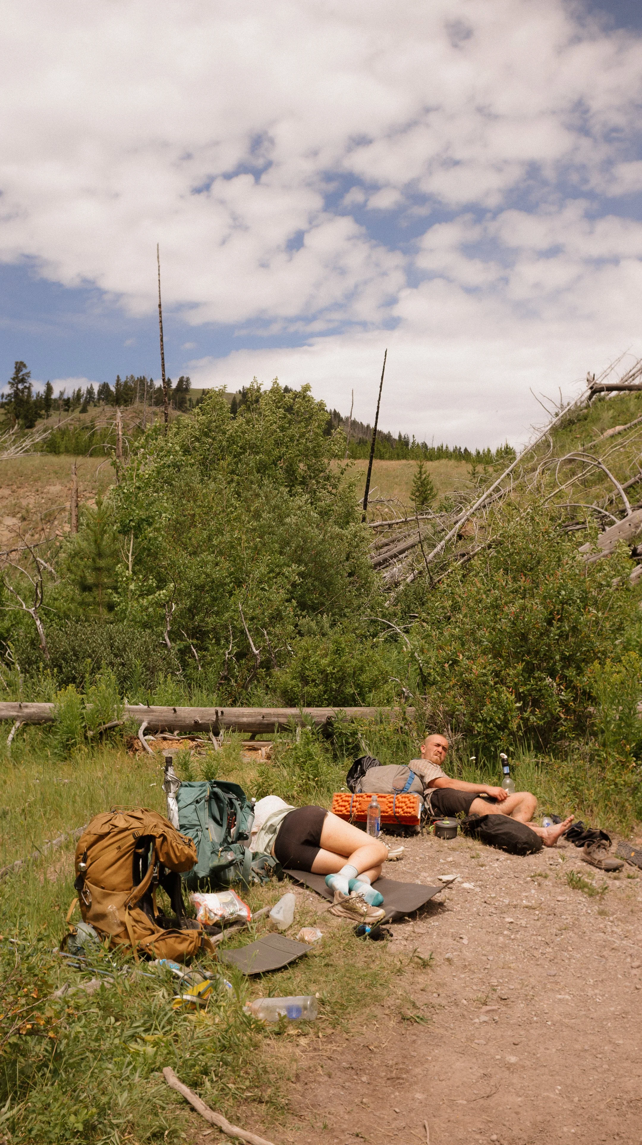
The day went by quickly. I had a few breaks, including a dirt nap at the lunch spot. Many horses rode by throughout the day and it was an absolute delight to see families out enjoying the trails.
After a quick rinse in the river, my tent was set up, and we all had dinner. After the days we had been having in this long stretch, I was thankful for a short and sweet one.
-
Sleep: Camp at Mile 257.6
Miles: 20.2
Elevation Gain: 2867 ft
Elevation Loss: 2690 ft
Weather: Sun, Hot
Overall Day Sentiment: More blowdowns!?
After such a chill and beautiful day the day prior, it was foolish to think that honeymoon would continue. There was a pass today, Elbow Pass, but about 5.3 miles to that. Goal was to get to the pass quickly and get over before the heat of the day. Not that hard… right?
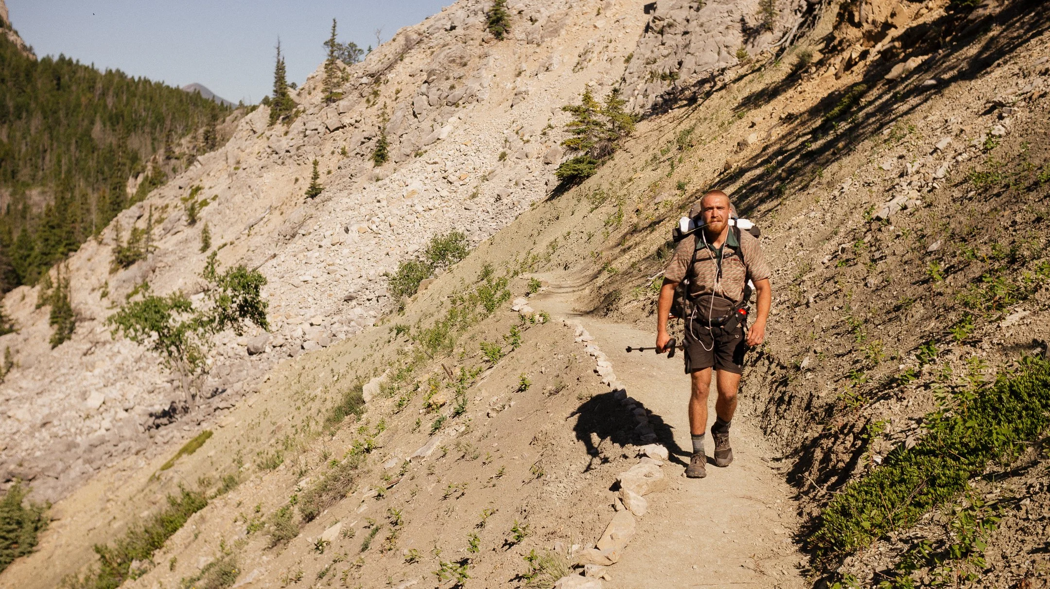
Wrong. The blowdowns started nearly immediately and continued for miles and miles. At 12:00pm, the group was only 5 miles where we had all planned to go 19 today. The blowdowns were so bad, at one point George and I decided to play Chutes and Ladders - to use them against themselves. I began walking up the fallen trees which made it go by faster.
After an easier descent, we had lunch at 8.2 miles for the day and still wanted to push for 19 miles if possible. Soon thereafter, we ran into another group, hiking the opposite way, and one person actually worked for the forest service in the area. She explained that their crews had been cut from 7 crews to 2 crews hence the rough nature. She assured all of us that it would get better there on out for the day.
The blowdowns stopped nearly completely and we were all able to get some mileage in. Eventually we ran into Geisha Girl, DT, Ferrari, and Tumbleweed. All experienced thru hikers, all women - so happy to see so many women in the outdoors.
Even though the three of us rolled in just nearly at sunset, we made it the 19 miles. I was so proud! Thankful for clearer trail later on in the day.
-
Sleep: Camp on the East Fork Falls Creek alternate
Miles: 21.9
Elevation Gain: 2589 ft
Elevation Loss: 2566 ft
Weather: Hot, Sun
Overall Day Sentiment: Why so hot in Montana?
The three of us left camp the earliest thus far on trail, 6:15am. There was some cruisey trail for a bit but then we were headed on to an alternate that was relatively unknown. By leaving early, this allowed for buffer time in case trail conditions deteriorated. Additionally, it was slated to be terribly hot so the more morning miles we could get inF the better.
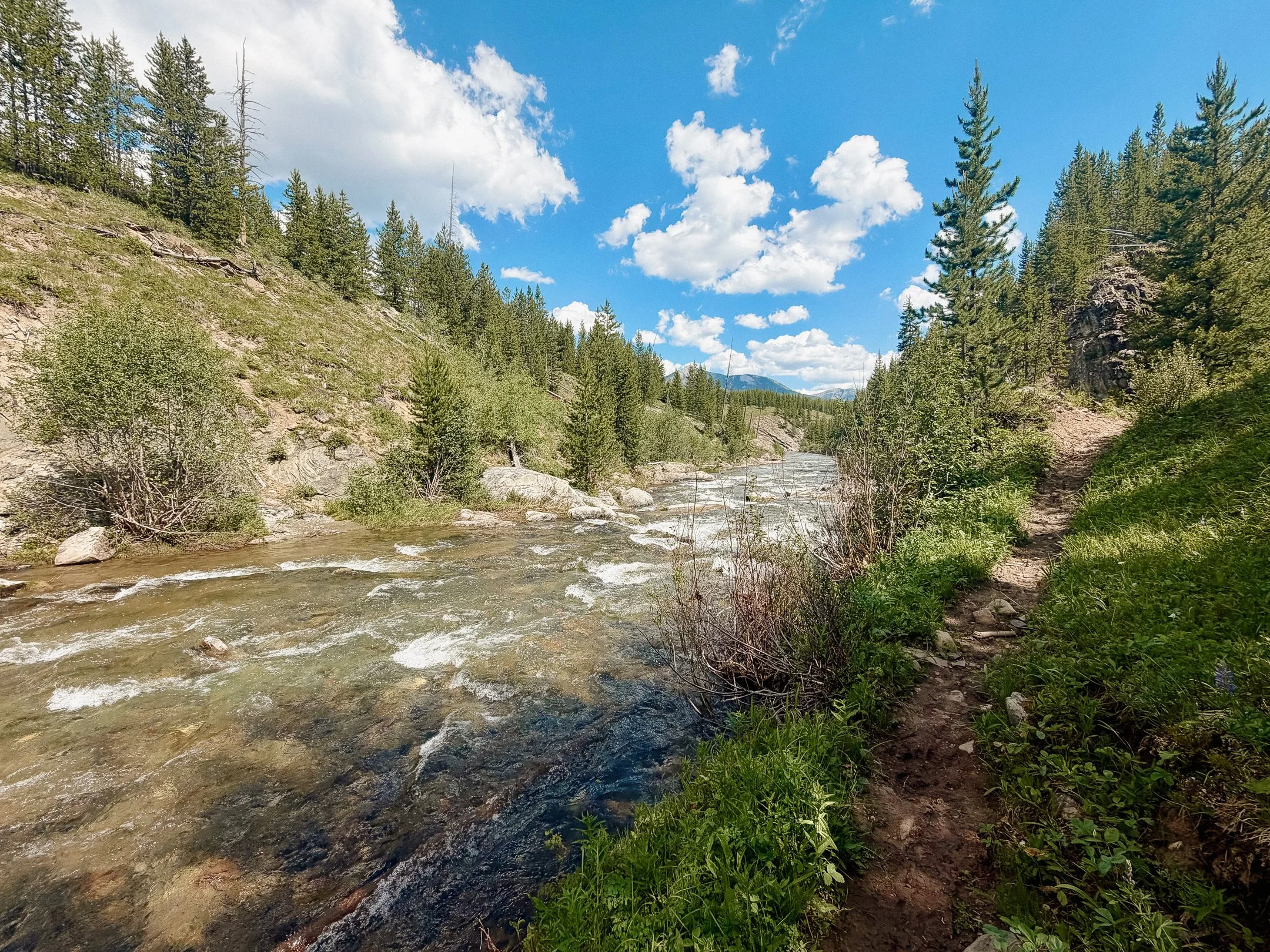
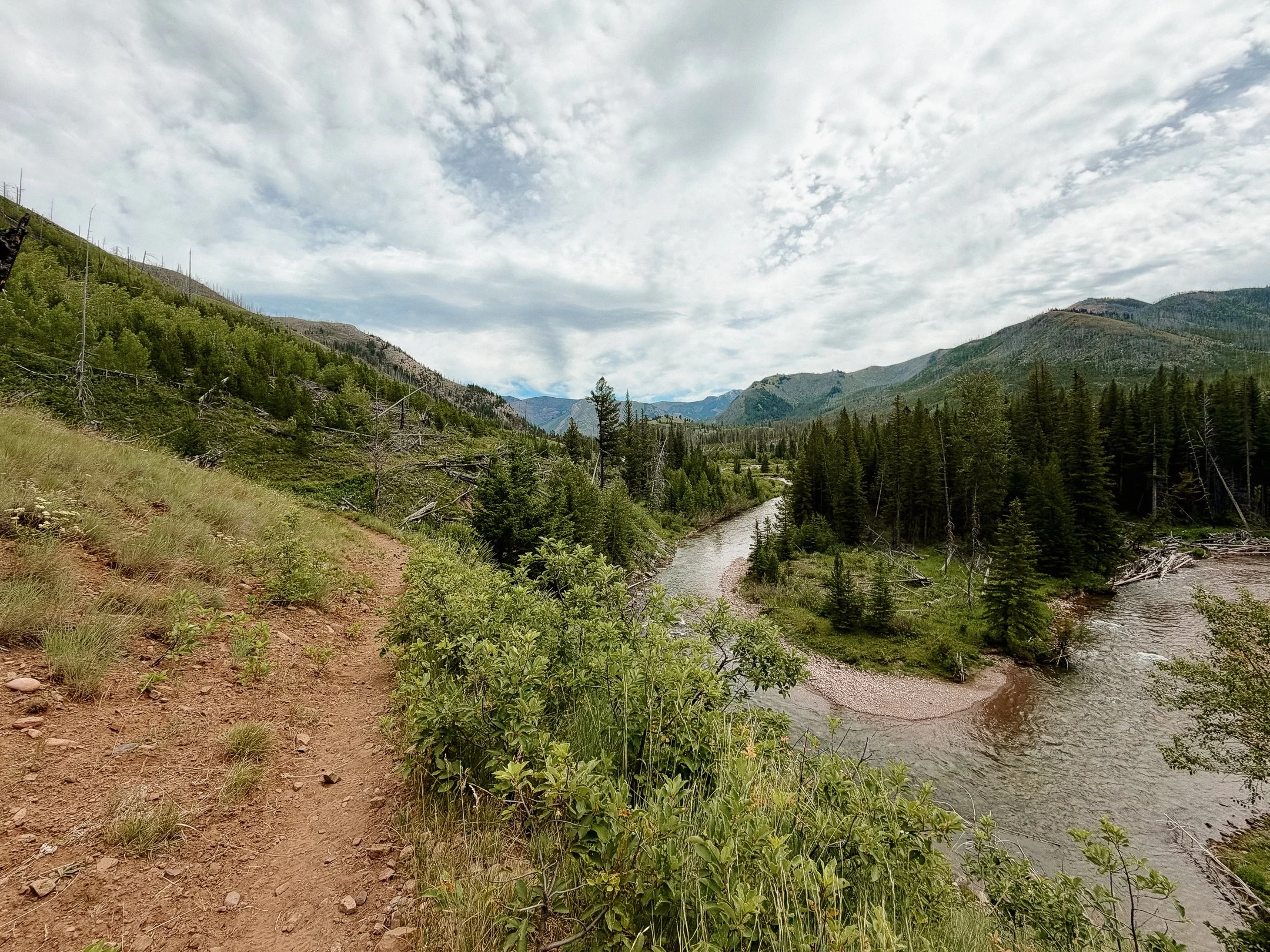
The first of the three alternate trails, Dearborn River Trail, was stunning. Huge open views within a canyon that housed a ridiculously perfect colored river. After that; there was a brief roadwalk where we all decided to sit out the noon heat and have an extended lunch. There was a campground that had picnic tables and a water pump - both a precious commodity.
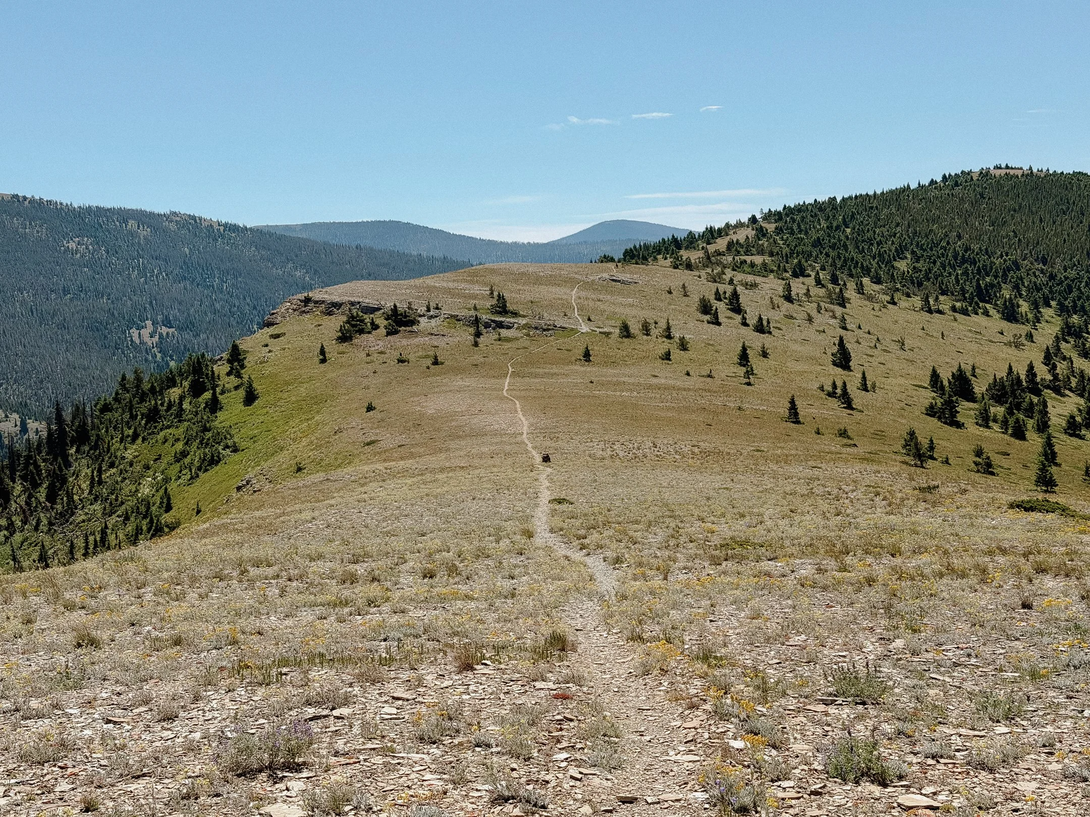
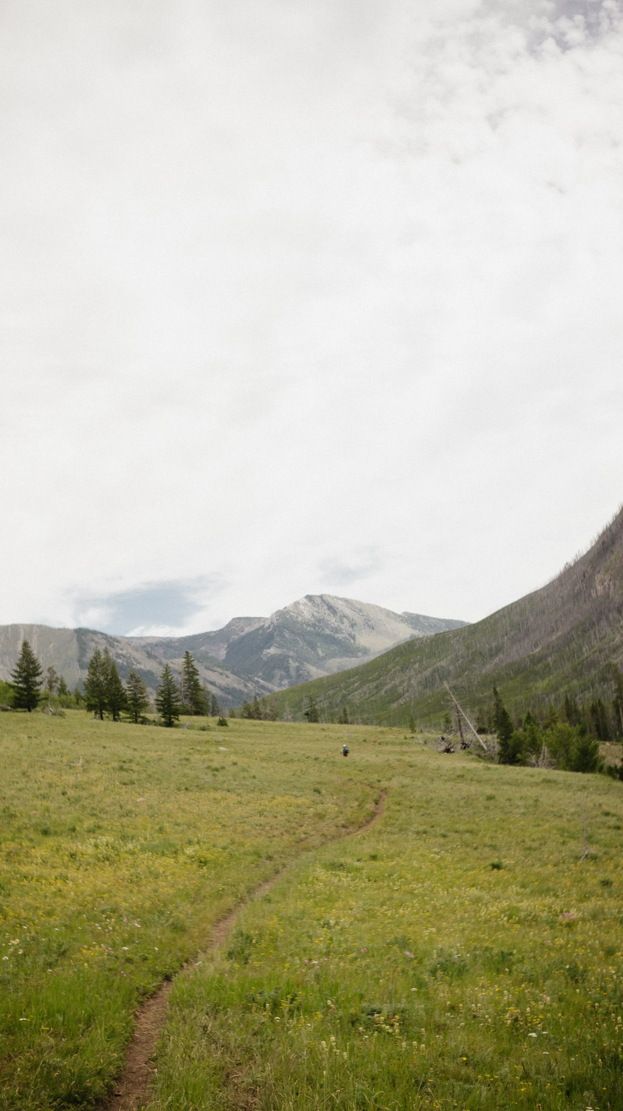
The second trail of the day was also stunning. It wound through meadows and crossed small rivers. There was little shade but the trail conditions were in good shape so it went by quickly.
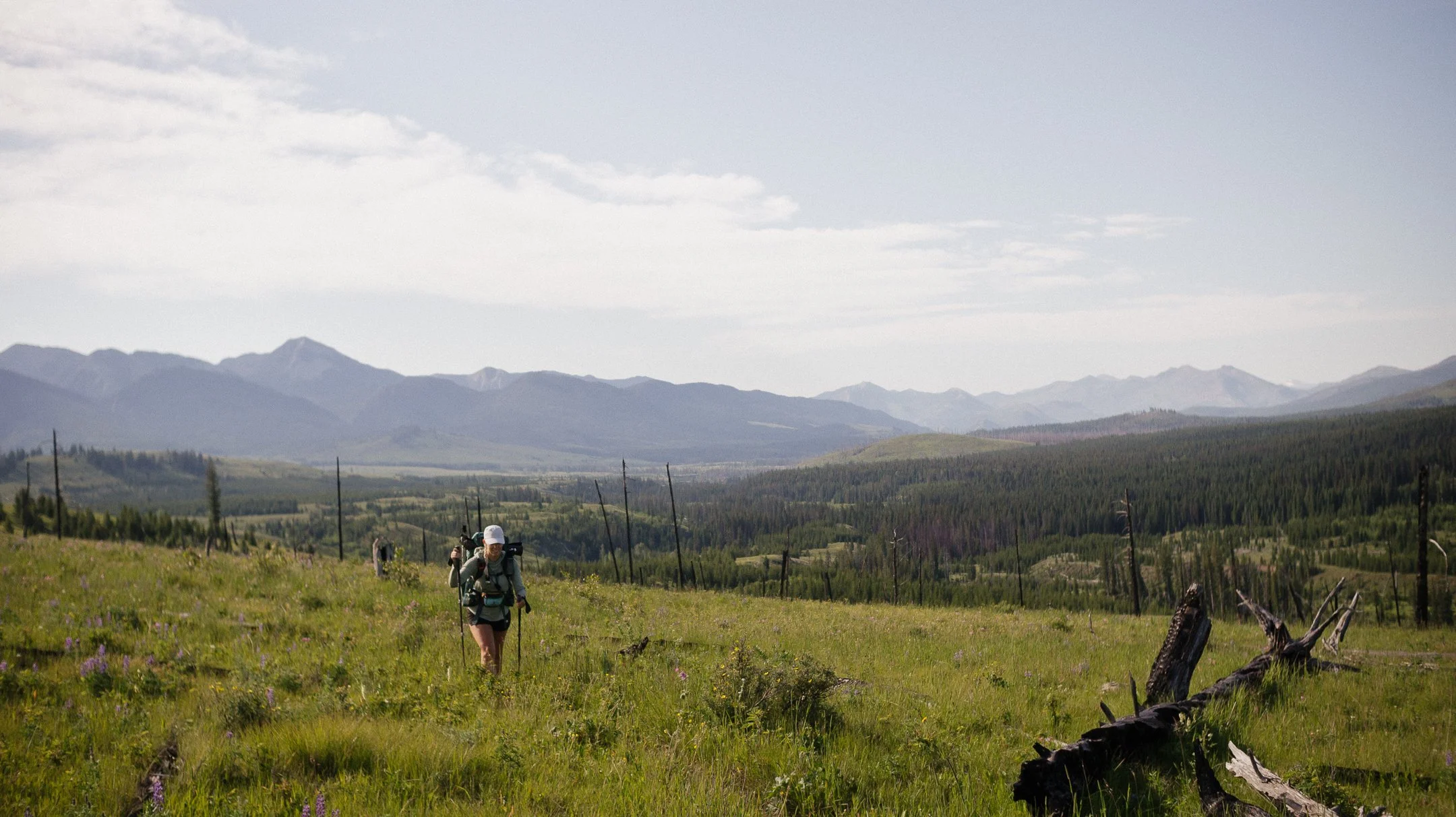
The third and final trail was initially okay but degraded from there. Though there were a ton of wildflowers, there were also blowdowns, steep ridge climbs, and unrelenting sun. Eventually we all gave up, had dinner, then walked 0.25 further to a makeshift campsite. The sound of a small creek was nice to fall asleep to, but watching the bats catch my arch nemesis (the mosquito) at sunset was even better.
-
Sleep: Lincoln Log Hotel in Lincoln, Montana
Miles: 13.5
Elevation Gain: 3163 ft
Elevation Loss: 3599 ft
Weather: Hot, Sun
Overall Day Sentiment: What were those climbs!
I awoke about 45 minutes after I had set my alarm to go off. Somehow my alarm volume turned all the way down and it had been going off that whole time, unbeknownst to me. George and Foggy were also running behind so I was in good company.
The day already felt hot but luckily the sun was behind a blanket of clouds. We all finished up the somewhat awful alternate in dramatic fashion aka climbing directly up the mountain. I eventually hit the trail switchback and took that despite the ever present blowdowns.
The rest of the hiking day was infuriatingly slow. There were several more small climbs but that were at such an angle that it was over 1000 feet per mile. At the top of one particular climb, the three us sat and just continued to say “wtf”.
Eventually, I made it to the highway that would take me into the small roadside town of Lincoln, Montana. George and I tried to hitch for an hour and finally got a ride in. At 90 degrees Fahrenheit, that felt like a long hour. Foggy had already gotten into town and we met him at the Wilderness Bar. This small town bar had delicious food and it was the perfect atmosphere.
I stayed at the Lincoln Log hotel, which was an interesting stay. Thankful I got a shower and laundry after such a brutal section.
Coming out of the Bob Marshall Wilderness after 8 tough days had really taken it out of me. The blowdowns, the river crossings, the heat, the bugs, the alternates, and more. This was one of the tough sections I have ever had which only makes me grow as a hiker.
GALLERY